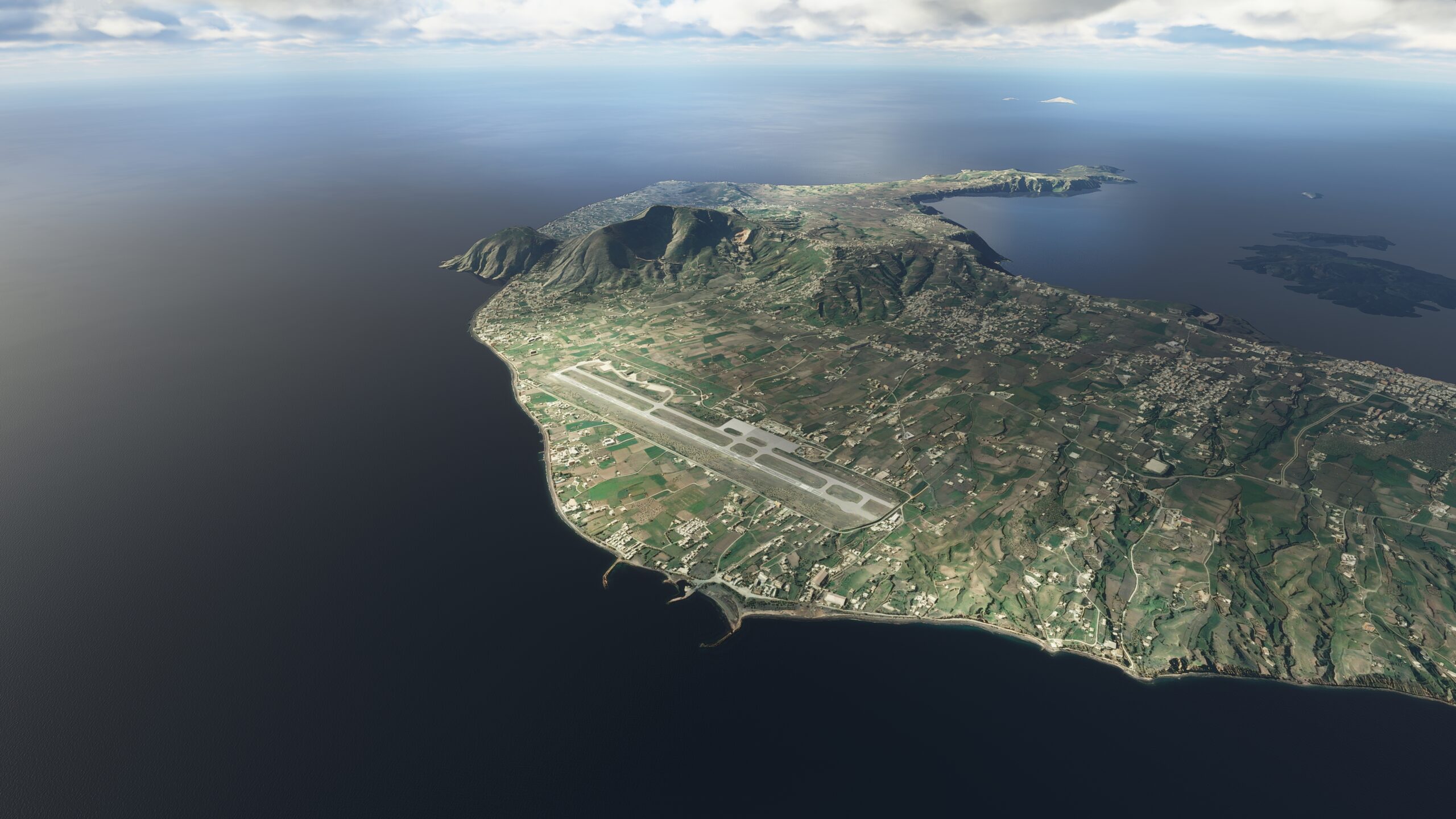
A journey to discover the vast, open beauty of the Balkans, a sprawling multinational region rich with old world charm and even older world mythology. Explore glittering coastlines and evergreen forests, rugged hinterlands and rolling hills, sand-strewn beaches and crystal blue seas. This is the unparalleled splendor of Southeast Europe, on full display for you to behold.
You’ll be flying a Cessna 172 Skyhawk. With a cruising speed of 124 knots (229 km/h), it is the ideal bush plane for sightseeing around the world.
Assistance on the trip will be available in the form of a ‘Back on Track’ button on the VFR Map — however, be advised that using this will disable achievements tied to the activity.
Total Legs: 16 Total Distance: 951 Total Time(125kts): 7 hours 36 minutes
Leg 1
Rijeka Airport to Otocac Airport
Leg Distance: 44.08 Approximate time at 125kts: 21 minutes.
Rijeka Airport(LDRI) to Šilo(POI1)
Distance: 5.81NM Bearing: 132° 3 minutes
Welcome to the Balkans – your tour begins in Croatia, the ‘land of a thousand islands’, as you depart from Rijeka Airport and head southeast toward the coastline of Vinodolski Kanal. In the distance, look for a nearly land-locked small bay, Zaljev Soline — then head past it, to the hook-like bay and small coastal town of Silo.
Šilo(POI1) to Road Junction(POI2)
Distance: 7.43NM Bearing: 171° 4 minutes
Carry on travelling south down the coastline. Follow the heading towards a gap between two large hills some miles in the distance.
Road Junction(POI2) to Baška(POI3)
Distance: 5.11NM Bearing: 132° 2 minutes
Track along with State Road D102, heading southeast. After a short distance, it will bring you to the resort settlement of Baska, a cultural and historical center situated on the bay Bascanska Draga.
Baška(POI3) to Senj(POI4)
Distance: 5.97NM Bearing: 69° 3 minutes
From the bay, follow the rocky shoreline southeast. When you reach the shore’s end, make your way across the waters of Velebitski Kanal, gaining altitude as you go. Soon, you’ll arrive at Senj, a small bayside town on the upper Adriatic coast, in the foothills of the Mala Kapela and Velebit mountains.
Senj(POI4) to Biaci Ridge(POI5)
Distance: 4.15NM Bearing: 97° 2 minutes
As you pass over Senj, look for State Road D23 carving a path up a slope in the cliffside. Let it lead you into Senjska Draga, a deep green valley enclosed by the ridges of Velika Kapela and Velebit.
Biaci Ridge(POI5) to Highway Flyover(POI6)
Distance: 4.46NM Bearing: 94° 2 minutes
After following D23 for a stretch, look for a major highway interchange for the A1 motorway at Zuta Lokva.
Highway Flyover(POI6) to Otocac(POI7)
Distance: 7.32NM Bearing: 134° 4 minutes
Head southeast from the interchange, as the A1 motorway tunnels through hills and eventually leads you to the Gacka River. Just east of the river, on the perimeter of a karst field, lies the town of Otočac.
Otocac(POI7) to Otocac Airport(LDRO)
Distance: 3.83NM Bearing: 112° 2 minutes
Running southeast out of Otočac, look for State Road D50 to lead you past dense patches of forest, toward a grass airstrip on the eastern side. This is Zracna luca Otočac, the first stop on your Balkan journey.
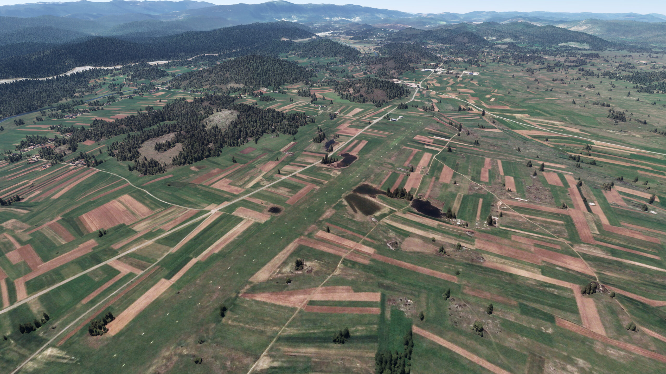
Leg 2
Otocac Airport to Zadar Airport
Leg Distance: 57.88 Approximate time at 125kts: 28 minutes.
Otocac Airport(LDRO) to Mine(POI1)
Distance: 5.17NM Bearing: 138° 2 minutes
Once in the air above Otočac, continue southeast along State Road D50. You’ll pass back over the Gacka River before reaching a fork in the road. Follow the southern branch, as the road paths into the hills and past an expansive mining operation.
Mine(POI1) to Highway Interchange(POI2)
Distance: 6.75NM Bearing: 155° 3 minutes
You will soon cross paths with the A1 motorway again. Follow the highway to an interchange a short distance south, near the village of Konjsko Brdo.
Highway Interchange(POI2) to Jadova River Bridge(POI3)
Distance: 7.78NM Bearing: 169° 4 minutes
As you follow the road to the south, it will begin to curve and bend toward the east. Let it take you past a forest, to a bridge over the Jadova River, then farther southeast.
Jadova River Bridge(POI3) to Odmorište Zir(POI4)
Distance: 8.41NM Bearing: 119° 4 minutes
After a short while following the road, you’ll find yourself passing over a rest stop at Odmoriste Zir. Carry on heading southeast.
Odmorište Zir(POI4) to Sveti Rok(POI5)
Distance: 10.23NM Bearing: 156° 5 minutes
Start gaining altitude as you continue along the road. You will come to pass two highway interchanges before the road disappears into the Sveti Rok Tunnel, surrounded by dense forestry atop the Velebit mountains. Adjust and turn southwest before heading up, and over, the mountainside.
Sveti Rok(POI5) to Novsko Ždrilo(POI6)
Distance: 7.78NM Bearing: 235° 4 minutes
Once you’ve crested the Velebit peak, find the road again as it leads toward a bridge over the strait, Novsko Zdrilo.
Novsko Ždrilo(POI6) to Zadar Airport(LDZD)
Distance: 11.76NM Bearing: 215° 6 minutes
From the bridge, the road will lead southwest along the shore of Novigradsko More. Continuing farther inland, you’ll break away from the road toward an airport in the distance — Zracna Luka Zadar, also known as your next stopping point.

Leg 3
Zadar Airport to Zracna Luka Split Airport
Leg Distance: 55.41 Approximate time at 125kts: 27 minutes.
Zadar Airport(LDZD) to Highway Interchange(POI1)
Distance: 11NM Bearing: 109° 5 minutes
Depart from Zadar Airport, heading southeast, and quickly you will notice a road running in the same direction. Follow it and eventually you will pass over a highway interchange, reuniting with the A1 motorway near the town of Benkovac.
Highway Interchange(POI1) to Prokljansko Jezero(POI2)
Distance: 16.12NM Bearing: 130° 8 minutes
Continue southeast along the road. After a while, watch for the waters of the Guduca River sluicing under the road and running southwest, towards a lake in the distance — Prokljansko Jezero.
Prokljansko Jezero(POI2) to Mandalina(POI3)
Distance: 6.32NM Bearing: 157° 3 minutes
At the banks of Prokljansko Jezero, make your way down its western shoreline, over the village of Raslina. You’ll soon find the inlet for another river, Krka, running southwest. Follow it a short distance, to a marina at the historic city of Sibenik, the oldest native Croatian town on the shores of the sea.
Mandalina(POI3) to Uvala Mirine(POI4)
Distance: 5.6NM Bearing: 149° 3 minutes
Head southeast, following the heading, toward the Adriatic Sea and a bay near the famous Bedem Grebastica, site of The Wall of Ostrica built in 1497.
Uvala Mirine(POI4) to Blizna Gornja(POI5)
Distance: 7.12NM Bearing: 104° 3 minutes
A road runs straight from the bay, heading east past the tourist village of Grebastica. Follow it through the valley and towards the hills. On the northern hill bank, you should soon see the small village of Blizna Gornja surrounded by trees.
Blizna Gornja(POI5) to Road Junction(POI6)
Distance: 4.79NM Bearing: 113° 2 minutes
From the tree-lined Blizna Gornja, look for a road running southeast, parallel with the hillside. After a short distance, this road will reach a junction point and hand you off to another State Road, D58, running south.
Road Junction(POI6) to Zracna Luka Split Airport(LDSP)
Distance: 4.46NM Bearing: 105° 2 minutes
Head southwest over the hills, past the patches of dense forest scattered across the peaks and crevices — and eventually you will arrive at another runway where you can land, Zracna Luka Split.
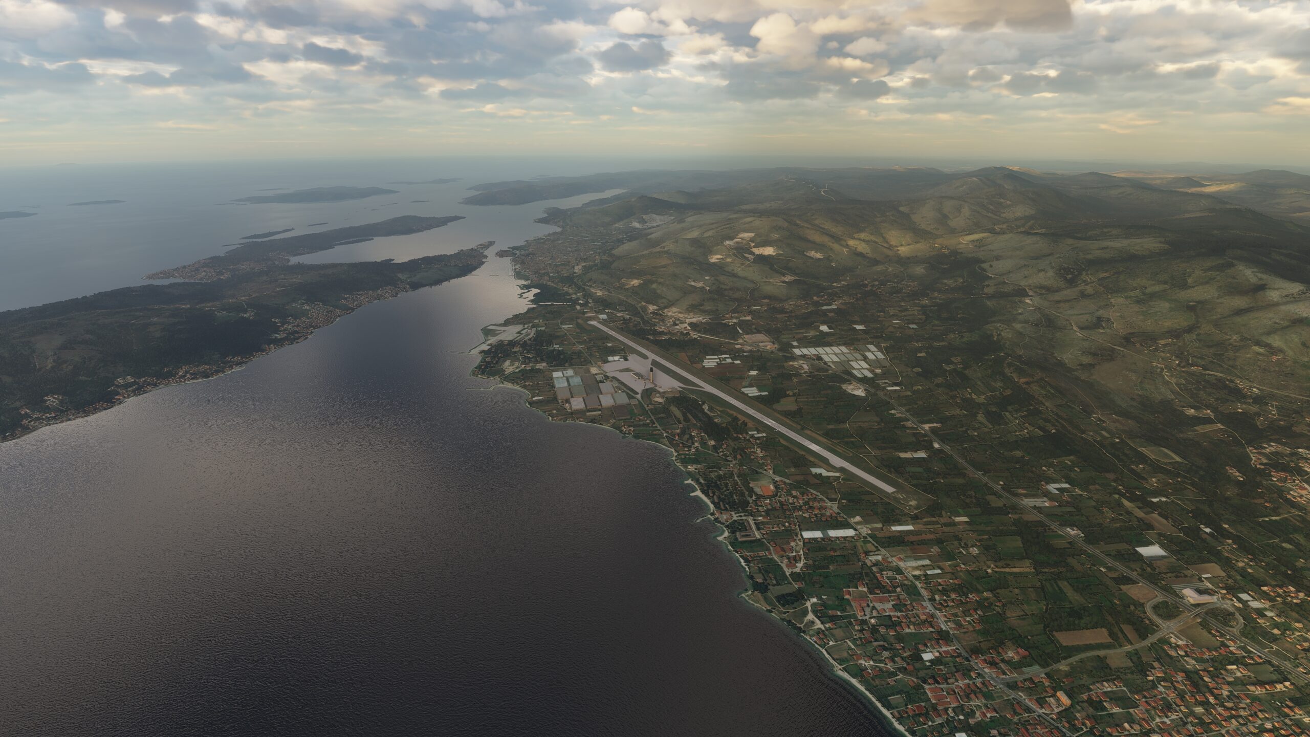
Leg 4
Zracna Luka Split Airport to Sinj Airfield
Leg Distance: 20.99 Approximate time at 125kts: 10 minutes.
Zracna Luka Split Airport(LDSP) to Jadro(POI1)
Distance: 7.8NM Bearing: 88° 4 minutes
Take flight from Split Airport and head east, along the coastline of Kastelanski Zaljev, past the peninsula town of Vranjic, nicknamed ‘Little Venice’ because of its sheer beauty. Watch for an inlet on the coast, where the Jadro River feeds into a bay by a train yard.
Jadro(POI1) to Roundabout(POI2)
Distance: 5.51NM Bearing: 45° 3 minutes
Follow the State Road D1 leading northeast into the mountains as it loops its way past the remains of medieval Klis Fortress and through the mountain pass. Eventually, it will lead you north to a large round-about.
Roundabout(POI2) to Sinj Airfield(LDSS)
Distance: 7.68NM Bearing: 28° 4 minutes
Stay with the road as it curves around the hillside ahead. Let it lead you north through an open green plain before twisting its way around more hills and pathing toward the large town of Sinj. Situated on a fertile karstic field in the area known as Cestinska Krajina, this is your next stop. Look for a grass airstrip on the eastern outskirts of town.
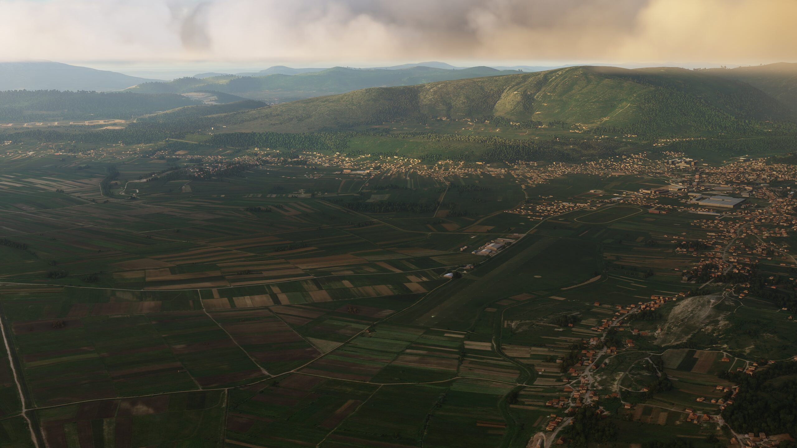
Leg 5
Sinj Airfield to Mostar Airport
Leg Distance: 59.4 Approximate time at 125kts: 29 minutes.
Sinj Airfield(LDSS) to Jabuka(POI1)
Distance: 4.93NM Bearing: 133° 2 minutes
As you take off from Sinj Airfield, set your sights southeast. Cross the waters of Cetina River, before crossing the tributary of the Cetina, the Ruda River. Head a short distance further southeast to an asphalt triangle where the road meets larger State Road D220.
Jabuka(POI1) to Gornja Tijarica(POI2)
Distance: 8.99NM Bearing: 107° 4 minutes
From the roadway triangle, head southeast along D220, and soon you will pass the small hamlet of Tarabnik. Continue in the same direction and you’ll quickly come to another village, Gornja Tijarica.
Gornja Tijarica(POI2) to Velika Vinica(POI3)
Distance: 4.94NM Bearing: 92° 2 minutes
As the road starts bending farther northeast, it will eventually come to a fork. Take the eastern route. Soon you will see the road bend back on itself near the village of Arzano — but you should continue heading east, over the valley ahead, and pick up a small road running directly toward the mountains. Follow it to the small, sparse village of Velika Vinica.
Velika Vinica(POI3) to Ricina Canyon(POI4)
Distance: 6.03NM Bearing: 137° 3 minutes
Just south of the Velika Vinica is a larger intersection, with roads leading southeast and southwest. Follow the southeastern path a short distance and you should soon see the glistening waters of Ricice. Make your way over the lake, heading toward the canyon on the southeastern shoreline.
Ricina Canyon(POI4) to Imotski(POI5)
Distance: 4.67NM Bearing: 124° 2 minutes
Follow the road running into the hills as it paths southeast, past the sinkhole of Crveno Jezero, also known as ‘Red Lake’, and the nearby ‘Blue Lake’ called Modro Jezero. After a short time flying southeast, look for the hillside town of Imotski, situated on the Biokovo Massif.
Imotski(POI5) to Grude(POI6)
Distance: 9.24NM Bearing: 113° 4 minutes
Running southeast from Imotski, track the route past roadside communities and across the agricultural plain. Eventually, the road will lead you to another town, Grude.
Grude(POI6) to Široki Brijeg(POI7)
Distance: 7.76NM Bearing: 82° 4 minutes
Adjust east from Grude, and follow the heading across the hills. It will take you across the Ugrovaca River to the next town, Siroki Brijeg.
Široki Brijeg(POI7) to Polog(POI8)
Distance: 5.12NM Bearing: 108° 2 minutes
Track with the road as it meanders past several small villages, toward the hillside settlement of Polog.
Polog(POI8) to Mostar Airport(LQMO)
Distance: 7.72NM Bearing: 116° 4 minutes
Continue along the road and it will quickly lead you into the major city of Mostar, named after the medieval guards who kept watch over the Old Bridge that spans the Neretva River. Find the river as you skirt around the mountains on the city’s southern side, and follow the waters toward your next destination: Mostar International Airport.

Leg 6
Mostar Airport to Dubrovnik Airport
Leg Distance: 59.27 Approximate time at 125kts: 28 minutes.
Mostar Airport(LQMO) to Capljina(POI1)
Distance: 11.69NM Bearing: 206° 6 minutes
Departing from Mostar, follow the Neretva River south. In time, you will arrive over the riverside town of Capljina, an archaeological wonder dating back to 5 BC, where two bridges cross the waterway near its center.
Capljina(POI1) to Gornje Hrasno(POI2)
Distance: 7.5NM Bearing: 150° 4 minutes
Make your way to the rolling hills just east of the Neretva riverbank. A road runs southeast toward the Hutovo Blato nature reserve, a complex of marshes, lakes, underground karstic wellsprings and rivers. Just south of it lies the large semi-artificial Svitavsko Lake. Make your way across it, aiming for the southern shore, and proceed past it to a multi-road junction near the village of Gornje Hrasno.
Gornje Hrasno(POI2) to Trebisnjica(POI3)
Distance: 5.17NM Bearing: 145° 2 minutes
At the junction, look for the road leading south toward a gap between two mountains, Kapavica and Nin, both carpeted with forest brush. Keep on this path until the road you’re following merges with another. As it bends southeast, it will take you past villages and ruins, and eventually to Jezero Vrutak reservoir almost hidden in the hills.
Trebisnjica(POI3) to Trncina(POI4)
Distance: 3.93NM Bearing: 108° 2 minutes
From the southern bank of the reservoir, find Trebisnjica Canal running away toward the east. Follow it, gaining altitude, until the channel loops north — at which point you will break off and turn southeast, following a road that cuts through the village of Trncina and up the hillside ahead.
Trncina(POI4) to Zavala(POI5)
Distance: 4.07NM Bearing: 137° 2 minutes
The road from Trncina runs southeast to another town, Ravno, which in turn has a road running south over the mountainside. When that path arrives at the entrance to a tree-lined canyon, it bends back north — but you will turn and head southwest.
Zavala(POI5) to Slano(POI6)
Distance: 5.46NM Bearing: 222° 3 minutes
As you track southwest away from the tree-lined canyon, follow the contours of the pass all the way through. Your course will lead you down a hillside toward the village of Slano, namesake of the area’s bay and harbor.
Slano(POI6) to Dubrovnik(POI7)
Distance: 11.88NM Bearing: 127° 6 minutes
Head southeast down the coastline from Slano Bay and soon you will reach another bay alongside the Lapad Peninsula. This is the shipping port of Gruz, and entryway to the prominent city of Dubrovnik.
Dubrovnik(POI7) to Dubrovnik Airport(LDDU)
Distance: 9.57NM Bearing: 120° 5 minutes
Fly over Dubrovnik proper, then a bit farther southeast to reach the coast. Tracking with the shoreline, you’ll pass the small island of Otok Lokrum, cross the waters of Zupski Zaljev bay, and eventually make your way to the town and harbor of Cavtat.The Dubrovnik Airport awaits just beyond.
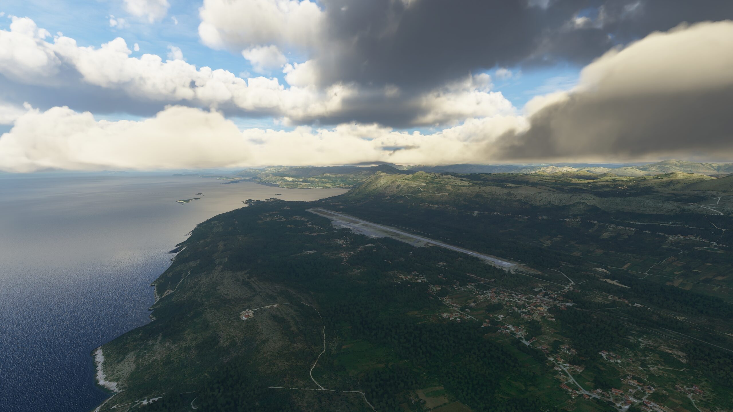
Leg 7
Dubrovnik Airport to Tivat Airport
Leg Distance: 22.58 Approximate time at 125kts: 11 minutes.
Dubrovnik Airport(LDDU) to Gruda(POI1)
Distance: 5.08NM Bearing: 117° 2 minutes
In the air above Dubrovnik, set your sights southeast and find State Road D8, the Adriatic Highway. After a brief stretch, the road will lead you to the small village of Gruda.
Gruda(POI1) to Igalo(POI2)
Distance: 7.42NM Bearing: 116° 4 minutes
Continuing in the same direction, you will soon end up in Igalo, a small town on the coast overlooking Hercegnovski Zaliv bay in Montenegro.
Igalo(POI2) to Portonovi Marina(POI3)
Distance: 4.34NM Bearing: 101° 2 minutes
Carry on southeast, down the rugged, densely populated coast, toward a marina in the distance.
Portonovi Marina(POI3) to Tivat Airport(LYTV)
Distance: 5.74NM Bearing: 103° 3 minutes
A straight shot southeast from the marina, across the waters of Tivatski Zaliv, make your way toward the seaside town of Tivat on the other side, and the international airport on the coast.
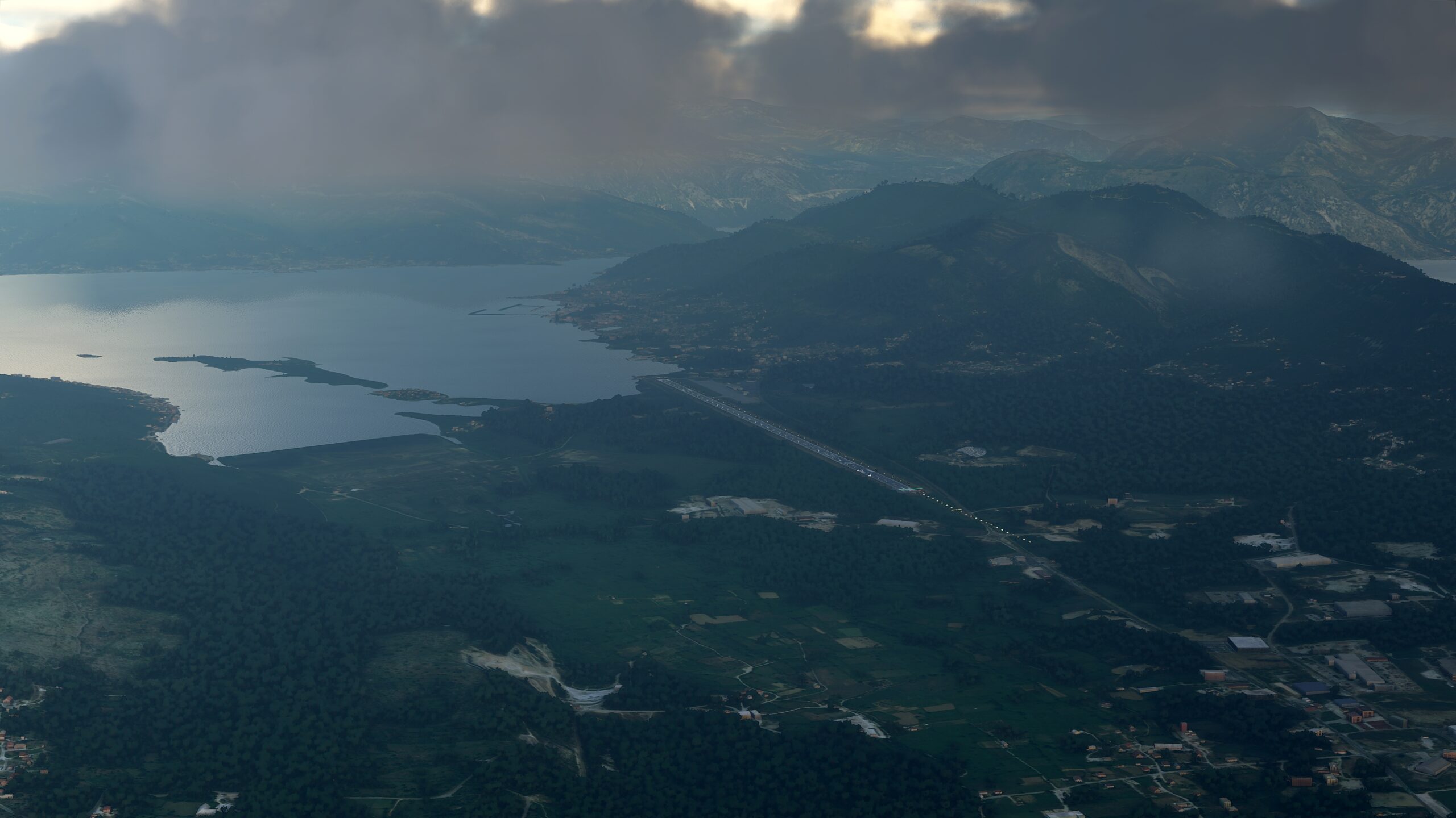
Leg 8
Tivat Airport to Tirana Airport
Leg Distance: 80.3 Approximate time at 125kts: 39 minutes.
Tivat Airport(LYTV) to Uvala Jaz(POI1)
Distance: 8.08NM Bearing: 149° 4 minutes
From Tivat Airport, a road leads southeast and into the surrounding hills. Head over the dense forest lining the mountain, and follow the road down to the beach.
Uvala Jaz(POI1) to Bay(POI2)
Distance: 9.42NM Bearing: 123° 5 minutes
Once again, track southeast down the coastline. Make your way past Sveti Nikola Island ahead, past Buljarica Beach and stretches of rocky shoreline, toward another thick forest by a steep cliffside.
Bay(POI2) to Bar(POI3)
Distance: 7.43NM Bearing: 129° 4 minutes
Head past the rugged terrain of Black Cape on the coastline, and you’ll soon find yourself at a large seaside town of Sutomore. Fly southeast from it and past Spicanski Zaliv bay. Down the shore, a short distance away, you’ll find another marina near the dense city of Bar.
Bar(POI3) to Dubrava(POI4)
Distance: 4.91NM Bearing: 143° 2 minutes
A road runs southeast out of Bar into the mountainside. Follow it while gaining altitude. In time, the road will run farther south, taking you through the coastal suburban town of Dubrava.
Dubrava(POI4) to Sasko Jezero(POI5)
Distance: 8.18NM Bearing: 108° 4 minutes
Make your way east from Dubrava, across the mountainside. The riverbed, belonging to Medurecka Rijeka, will lead you southeast to the western shore of Sasko Jezero — also known as Shas Lake.
Sasko Jezero(POI5) to Shoreline(POI6)
Distance: 8.3NM Bearing: 156° 4 minutes
Across the waters of Shas Lake, just beyond its eastern shore, you will find the wide flow of the Bojana River curling its way south. Follow the river toward the coast, past a fork, to point where the Bojana opens up to Adriatic Sea.
Shoreline(POI6) to Lagoon(POI7)
Distance: 10.79NM Bearing: 104° 5 minutes
Head east a short distance down the coast, and you will soon pass a Liqeni i Vilunit, a lagoon situated amidst nature reserves at the foot of mountain peaks. Continuing southeast down the shore, you’ll pass a rocky cliffside on your way toward the coastal town of Shengjin and its neighboring lagoon.
Lagoon(POI7) to River Bridge(POI8)
Distance: 6.8NM Bearing: 149° 3 minutes
From Shengjin Lagoon, fly southeast heading inland. You should quickly cross the waterway of Lumi Drin, as you pick up a road heading your same direction. Follow the road farther southeast, toward the wider flow of the Mat River.
River Bridge(POI8) to Fushë-Mamurras(POI9)
Distance: 6.7NM Bearing: 174° 3 minutes
The road carries on south past the river, expanding into a major highway. It will lead you toward the town of Fushe Mamurras, situated near the reservoir Liqeni i Thumanes.
Fushë-Mamurras(POI9) to Tirana Airport(LATI)
Distance: 9.69NM Bearing: 163° 5 minutes
Continue south over the reservoir and the village of Thumane, past various strips of farmland and settlements. The flow of another river, the Gjole, will track parallel to your path, as you close in on the town of Rinas, and the Tirana International Airport where you can touch down.
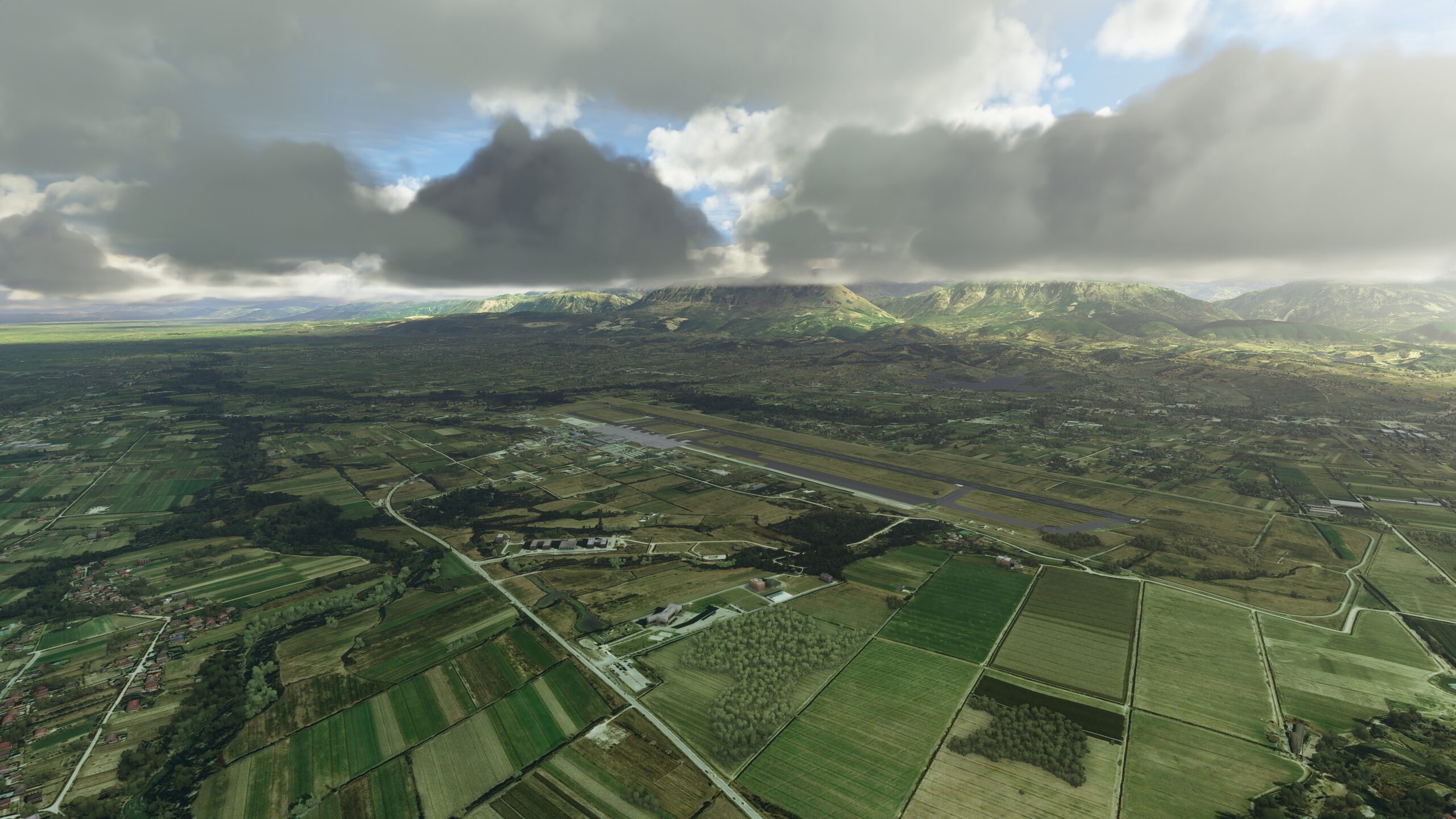
Leg 9
Tirana Airport to Aeroporti i Mifoit
Leg Distance: 83.96 Approximate time at 125kts: 40 minutes.
Tirana Airport(LATI) to Liqeni i Tirana(POI1)
Distance: 7.58NM Bearing: 141° 4 minutes
Once in the air, continue following the highway to the east of the airport towards the outskirts of Tirana, the capital and largest city of the Republic of Albania. You should soon be in view of the waters of Liqeni i Tiranes, and beyond it the thick forestry of the Grand Park of Tirana. Head for the lake.
Liqeni i Tirana(POI1) to Ibë e Poshtme(POI2)
Distance: 6.66NM Bearing: 128° 3 minutes
As you pass by hillsides densely covered in trees to the west, look for a highway interchange near the village of Mullet and flowing east from here, the river Lumi Erzenit. After following the river a short distance, it will bend toward the northeast — but you should continue heading south into the hills.
Ibë e Poshtme(POI2) to Kushja River Bridge(POI3)
Distance: 6.49NM Bearing: 138° 3 minutes
As you draw closer to the hills, the highway below will disappear into a tunnel. Head over the hilly rise to find where the road reappears on the other side. Stay with the descending path as the waters of the Kushja River run parallel to the asphalt, and eventually cross under it near the village of Kozan.
Kushja River Bridge(POI3) to Shkumbini River(POI4)
Distance: 4.64NM Bearing: 147° 2 minutes
Head south, following the Kushja River. It will lead you past a major industrial park near the city of Elbasan, onto the banks of the wider Shkumbini River.
Shkumbini River(POI4) to Shkumbini Fork(POI5)
Distance: 5.1NM Bearing: 245° 2 minutes
Adjust your heading and follow the Shkumbini River west. Soon, you will arrive at a fork — and you should take the westernmost branch.
Shkumbini Fork(POI5) to Cengelas(POI6)
Distance: 4.53NM Bearing: 262° 2 minutes
Continue along the westernmost branch of the Shkumbini, and eventually you’ll pass the village of Cengelas on the western banks of the river.
Cengelas(POI6) to Kalush(POI7)
Distance: 11.31NM Bearing: 271° 5 minutes
Carry on along the river, past the large town of Rrogozhine. As the riverbed begins to narrow, it will enters a series of switch-back bends. Look for the village of Kalush near one of the most extreme arcs.
Kalush(POI7) to Forest(POI8)
Distance: 5.51NM Bearing: 253° 3 minutes
Follow the narrowing river southwest until you reach the forests of Divjaka-Karavasta National Park near the coastline.
Forest(POI8) to Laguna e Karavastase(POI9)
Distance: 4.07NM Bearing: 168° 2 minutes
Fly south over the forest, making your way to the jagged shoreline of a vast lake just inland from the coast, Laguna e Karavastase.
Laguna e Karavastase(POI9) to Opposite Shoreline(POI10)
Distance: 6.26NM Bearing: 197° 3 minutes
Head down the western shore of the lake until you reach its southern edge.
Opposite Shoreline(POI10) to Lumi i Semanit(POI11)
Distance: 4.72NM Bearing: 218° 2 minutes
Continue west toward the Adriatic coast, then track south along the shore to find where the river, Lumi Semanit, cuts through the land to reach the open sea.
Lumi i Semanit(POI11) to Canal(POI12)
Distance: 4.49NM Bearing: 177° 2 minutes
Farther south, look for another river, Kanali i Hoxhares, feeding the Adriatic.
Canal(POI12) to Lumi Vjose(POI13)
Distance: 6.81NM Bearing: 194° 3 minutes
Even farther south, just a short distance away, you will find another river, Lumi Vjose, flowing into the sea.
Lumi Vjose(POI13) to Aeroporti i Mifoit(LANO)
Distance: 5.79NM Bearing: 113° 3 minutes
From the banks of Lumi Vjose, adjust and head southeast. On the northern edge of Vjosa-Narta nature preserve, and the Laguna e Nartes, you will find a runway where you can land — Aeroporti i Mifoit.
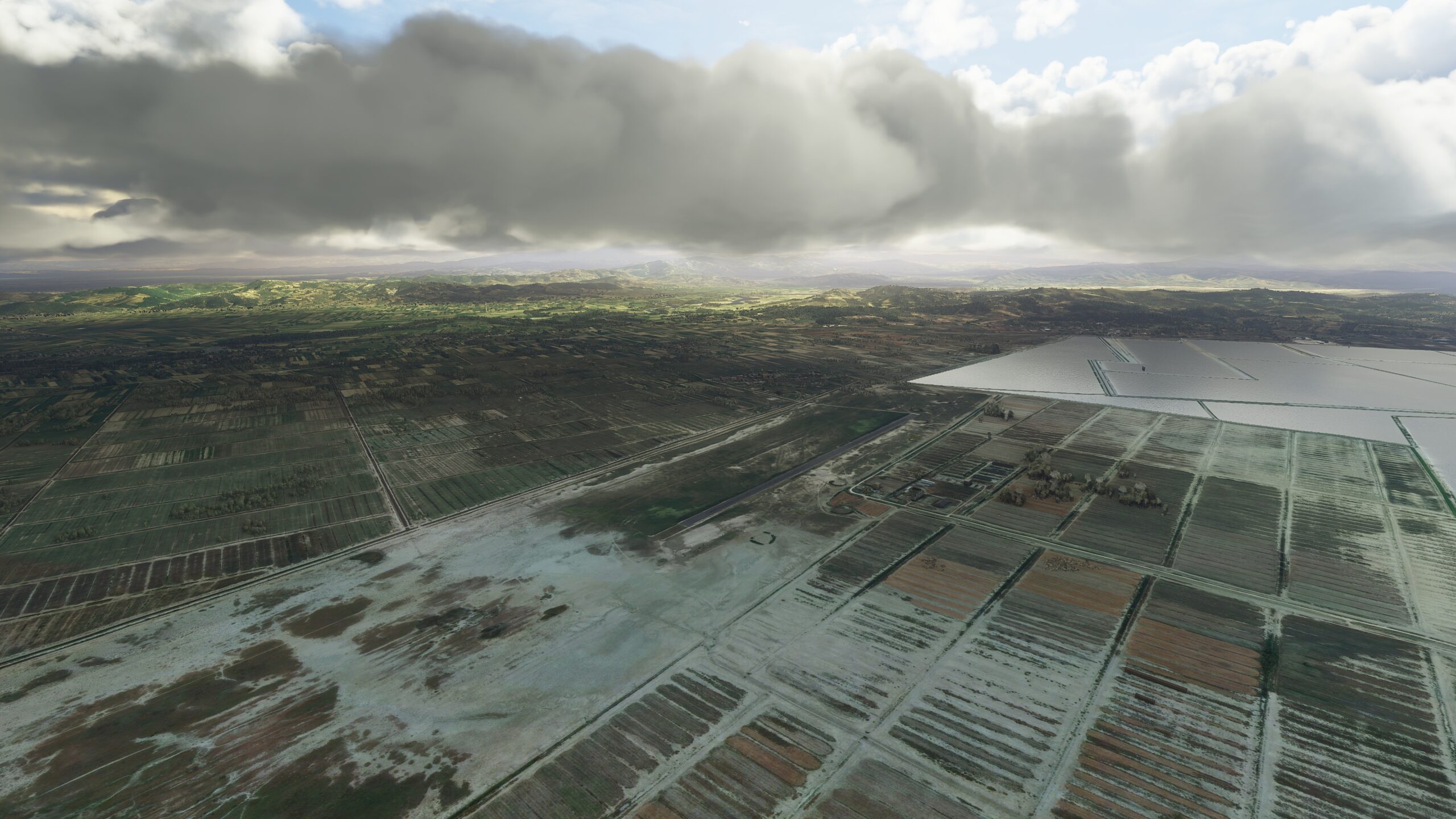
Leg 10
Aeroporti i Mifoit to Corfu International Airport
Leg Distance: 73.44 Approximate time at 125kts: 35 minutes.
Aeroporti i Mifoit(LANO) to Vlorë(POI1)
Distance: 7.09NM Bearing: 159° 3 minutes
Take off from the airstrip and head southeast, crossing over the eastern shore of Laguna e Nartes. You will find a road running parallel to the lake and should follow it south, to the outskirts of the city Vlore.
Vlorë(POI1) to Lumi i Shushicës Bridge(POI2)
Distance: 4.42NM Bearing: 101° 2 minutes
Make your way east from Vlore and over the rise of hills ahead. On the other side, it’s a short run before you arrive at the banks of Lumi Shushices. Follow the river as it runs south. Continue along the river, toward a wide bridge in the distance.
Lumi i Shushicës Bridge(POI2) to Mavrove(POI3)
Distance: 4.65NM Bearing: 159° 2 minutes
Past the bridge, the river will flow farther south before taking a turn southeast near the riverside village of Kote.
Mavrove(POI3) to Brataj(POI4)
Distance: 8.19NM Bearing: 151° 4 minutes
Carry on following the river south for a while. When it suddenly bends 90 degrees to the east, look for the riverside village of Brataj, surrounded by trees and situated on the western bank.
Brataj(POI4) to Lumi i Shushicës Fork(POI5)
Distance: 6.32NM Bearing: 128° 3 minutes
Make your way south and you will come to a fork in the meandering river. One branch will run east toward the mountains, but you should follow the branch that continues into the south.
Lumi i Shushicës Fork(POI5) to Qarku Vlorës(POI6)
Distance: 8.99NM Bearing: 161° 4 minutes
The river will continue south. In the distance you will find a valley, and a large peak rising in the middle — Mali i Corajt. Break away from the river and adjust your heading around the western mountainside. Follow the natural contours of the valley until you reach the seaside village of Qeparo, and the elongated bay of the Ionian Sea.
Qarku Vlorës(POI6) to Mountain Promontory(POI7)
Distance: 9.76NM Bearing: 148° 5 minutes
Track along the shoreline, heading southeast toward a mountain promontory known as Kepi i Qefalit.
Mountain Promontory(POI7) to Sarandë(POI8)
Distance: 4.39NM Bearing: 117° 2 minutes
Skirting around the promontory, make your way south to another coastal town, Sarande.
Sarandë(POI8) to Corfu(POI9)
Distance: 5.89NM Bearing: 198° 3 minutes
Adjust your heading southwest, away and across a strait, toward the stunning beaches of Corfu, northernmost of the Ionian Islands.
Corfu(POI9) to Kato Agios Markos(POI10)
Distance: 6.97NM Bearing: 222° 3 minutes
Follow the island coastline southwest. Make your way past rural coastal towns and eventually you will arrive at Ipsos Bay at the foot of Mount Pantocrator, Corfu’s highest peak.
Kato Agios Markos(POI10) to Corfu International Airport(LGKR)
Distance: 6.77NM Bearing: 145° 3 minutes
Adjust southeast and target the island’s eastern shore. There you will find Corfu Ioannis Kapodistrias International Airport, also known as the next stop on your adventure.

Leg 11
Corfu International Airport to Aktion National Airport
Leg Distance: 62.66 Approximate time at 125kts: 30 minutes.
Corfu International Airport(LGKR) to Moraitika(POI1)
Distance: 7.37NM Bearing: 167° 4 minutes
As you leave Corfu International Airport, head south. You’ll quickly pass over the small islet of Pontikonisi, lovingly referred to as ‘Mouse Island’, on your way back to the island’s rocky shoreline. From there, follow the coast to a seaside town built around the mouth of the river Messonghi.
Moraitika(POI1) to Kavos(POI2)
Distance: 10.22NM Bearing: 120° 5 minutes
The coast bends southeast beyond Messonghi, and so will you as you track with it. Follow the heading and you will quickly pass Lefkimmi, a town in the countryside with tendrils spreading in all directions. Continue to the southernmost point of the island, where you will find the popular seaside village and large sandy beaches of Kavos.
Kavos(POI2) to Syvota(POI3)
Distance: 5.15NM Bearing: 67° 2 minutes
Adjust and turn east, across the Straits of Corfu. As you return to the mainland, you’ll pass over a collection of small grassy islets, near the coastal village of Syvota.
Syvota(POI3) to Perdika(POI4)
Distance: 4.47NM Bearing: 117° 2 minutes
A road runs southeast from Syvota, hugging the rocky coastline and eventually leading to another small town in the hills, Perdika.
Perdika(POI4) to Agia(POI5)
Distance: 4.28NM Bearing: 138° 2 minutes
Head further into the hills following the road. It will bring you to another small village, Agia, situated on the southern hillside of a grassy peak.
Agia(POI5) to Agia Kyriaki(POI6)
Distance: 4.64NM Bearing: 107° 2 minutes
Continue along the road, heading southeast, past the bayside town of Parga. Soon you will arrive at Agia Kyriaki, a village in the hills surrounded by lush forest.
Agia Kyriaki(POI6) to Pariala(POI7)
Distance: 7.62NM Bearing: 140° 4 minutes
Moving away from Agia Kyriaki, break off from the road and head down the grassy cliffs on the shoreline. You will fly past Ammoudia, a small fishing village alongside the mouth of the river Acheron, as you close in on the beachfront area known as Paralia Loutsas, with houses and resorts stretching the length of the coast.
Pariala(POI7) to Zalongo(POI8)
Distance: 8.52NM Bearing: 129° 4 minutes
Farther southeast, look for another village on the coast, Nea Thesi.
Zalongo(POI8) to Mytikas(POI9)
Distance: 5.14NM Bearing: 160° 2 minutes
Make your way along the coast, as it curves slightly southeast and leads you to a flat outcropping on the other side of a small bay, near the town of Mitikas.
Mytikas(POI9) to Aktion National Airport(LGPZ)
Distance: 5.25NM Bearing: 142° 3 minutes
From Mitikas, find the road that runs south. It will bring past the town of Preveza and across the waters that lead to the Ambracian Gulf. On the other side of the strait is the town of Aktion, and the national airport where you can land.

Leg 12
Aktion National Airport to Missolonghi Airport
Leg Distance: 54.17 Approximate time at 125kts: 26 minutes.
Aktion National Airport(LGPZ) to Limni Voulkaria(POI1)
Distance: 4.47NM Bearing: 123° 2 minutes
When you leave Aktion National Airport, make your way southeast over the low rolling hills, toward the large freshwater Lake Voulkaria a few miles ahead.
Limni Voulkaria(POI1) to Palairos(POI2)
Distance: 5.88NM Bearing: 155° 3 minutes
Continue southeast toward the opposite shore. Once you’ve reached the other side, look for a road to the east of the lake and follow it south. Track with the road as it leads you to the ancient city and modern town of Palairos.
Palairos(POI2) to Mytikas(POI3)
Distance: 7.71NM Bearing: 153° 4 minutes
Continue south from Palairos to the end of the shoreline. Your path will bring you toward a mountain on the coast — skirt around the mountainside and head east. Watch for a jagged outcropping that juts into the ocean, home to the small coastal town and port of Mytikas.
Mytikas(POI3) to Vasilopoulo(POI4)
Distance: 8.05NM Bearing: 118° 4 minutes
As you fly farther east along the shoreline, begin gaining altitude. The coast will curve southeast once more, taking you past two road junctions leading east. Follow your heading toward the small village of Vasilopoulo.
Vasilopoulo(POI4) to Port(POI5)
Distance: 6.95NM Bearing: 172° 3 minutes
Head south and make your way over the bayside town of Astakos, across the bay, and along the eastern coastline. Your path will eventually take you over a vast industrial port situated on a grassy, hilly outcropping.
Port(POI5) to Katokhi(POI6)
Distance: 8.24NM Bearing: 116° 4 minutes
From the industrial port, skirt southeast around the coast. When the ground flattens out to tracts of farmland, make your way inland, heading southeast across the fields. Join up with the Archelous River that flows farther south, and follow it through to Katochi village, at the foot of tree-covered hills.
Katokhi(POI6) to Aitolikon(POI7)
Distance: 5.2NM Bearing: 67° 2 minutes
East of Katochi, you’ll find another village on the other side of the river, Neochori. Look for a road running northeast through Neochori, and follow it toward the small island of Aitoliko in the strait nearby.
Aitolikon(POI7) to Missolonghi Airport(LGMS)
Distance: 7.67NM Bearing: 123° 4 minutes
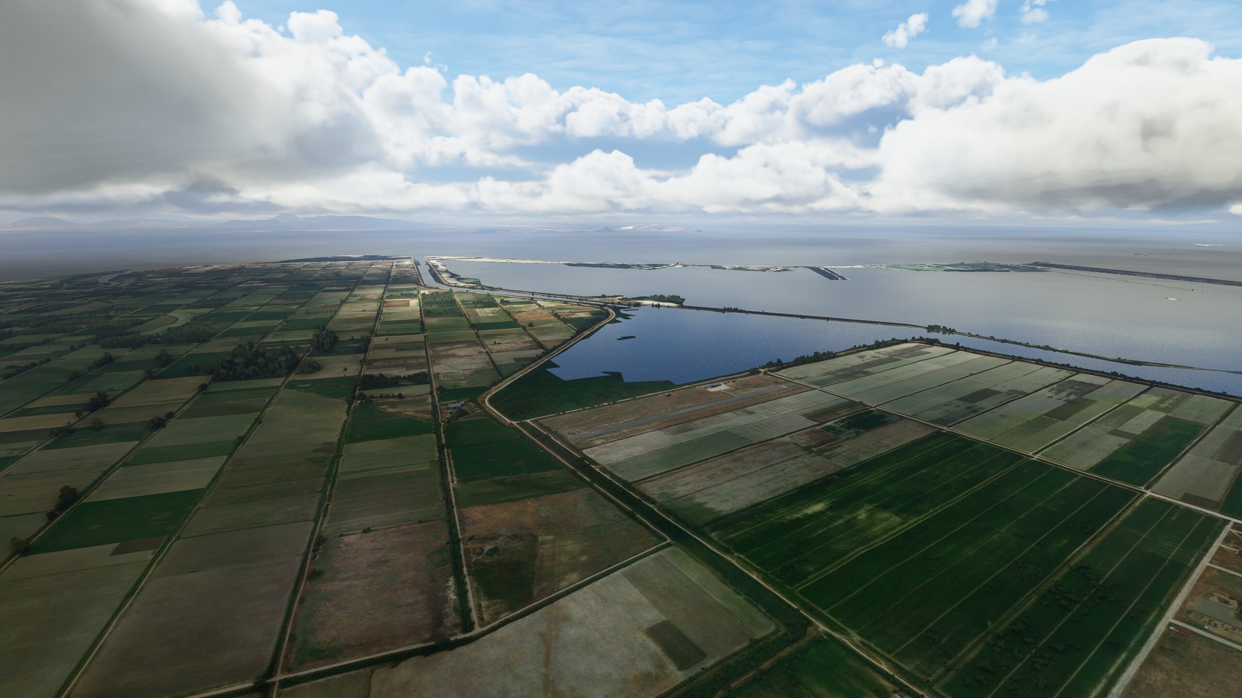
Adjust your heading as you pass Aitoliko, aiming southeast over the large town of Missolonghi. Past the town, on the edge of a vast lagoon, awaits a concrete runway at the Missolonghi Airport.
Leg 13
Missolonghi Airport to Kopaida Dimitra Airport
Leg Distance: 85.03 Approximate time at 125kts: 41 minutes.
Missolonghi Airport(LGMS) to Antirrio(POI1)
Distance: 13.46NM Bearing: 92° 6 minutes
Departing Missolonghi, head east along the coast and past the steep limestone mountain, Varasova, as it rises above the Gulf of Patras. Once past it, set your sights farther down the shore, toward a bridge that spans the Strait of Corinth and connects the towns of Antirrio and Rio ahead.
Antirrio(POI1) to Nafpaktos(POI2)
Distance: 4.7NM Bearing: 34° 2 minutes
From the tip of Antirrio, continue along the mainland coast as it bends northeast, eventually leading you to the town of Nafpaktos on the northern shore of the Gulf of Corinth.
Nafpaktos(POI2) to Paralia Sergoulas(POI3)
Distance: 10.58NM Bearing: 84° 5 minutes
Carry on east, passing stretches of rocky shoreline, and eventually you will reach a small village by the sea, Paralia Sergoulas.
Paralia Sergoulas(POI3) to Agios Nikolaos(POI4)
Distance: 5.61NM Bearing: 114° 3 minutes
A short distance further down the coast, you will come to pass another small beachside hamlet, Agios Nikolaos.
Agios Nikolaos(POI4) to Galaxidi(POI5)
Distance: 10.63NM Bearing: 78° 5 minutes
Skirt around the hilly outcropping that lies to the south, and continue along your eastern heading. A road that runs along the coast will lead you to the town of Glaxidi, and a small port situated on a natural double harbor surrounded by mountains.
Galaxidi(POI5) to Canyon(POI6)
Distance: 8.83NM Bearing: 101° 4 minutes
As you pass over Glaxidi, adjust your path to cross the Bay of Itea, making your way toward a rocky outcropping on the opposite side. Just beyond it, a mountain col waits for you to fly through.
Canyon(POI6) to Aspra Spitia(POI7)
Distance: 5.18NM Bearing: 46° 2 minutes
Once you’ve crested the mountain col, turn and head northeast into the neighboring bay. There, you should see the town of Paralia Distomou, also known as Aspra Spitia, and a road that will lead you into the hills.
Aspra Spitia(POI7) to Mountain Col(POI8)
Distance: 4.89NM Bearing: 28° 2 minutes
Follow the road as it takes the climb, bringing you to a small town on the northern foot of a tree-lined hill. Continue along the road as it cuts through another mountain col just in the distance.
Mountain Col(POI8) to Leivadia(POI9)
Distance: 7.29NM Bearing: 89° 3 minutes
Let the road lead you farther east, eventually arriving over Livadia, a large town with the Herkyna River cutting north through its center. Continue following the road northeast, away from the town.
Leivadia(POI9) to Orchomenos(POI10)
Distance: 5.87NM Bearing: 60° 3 minutes
Head across the agricultural tracts, tracking with the road as it runs northeast. In the distance, at the foot of a hilly ridge, near the Acropolis made famous in early Greek myth, lies the town of Orchomenos. Make your way there.
Orchomenos(POI10) to Kopaida Dimitra Airport(LGAK)
Distance: 7.99NM Bearing: 98° 4 minutes
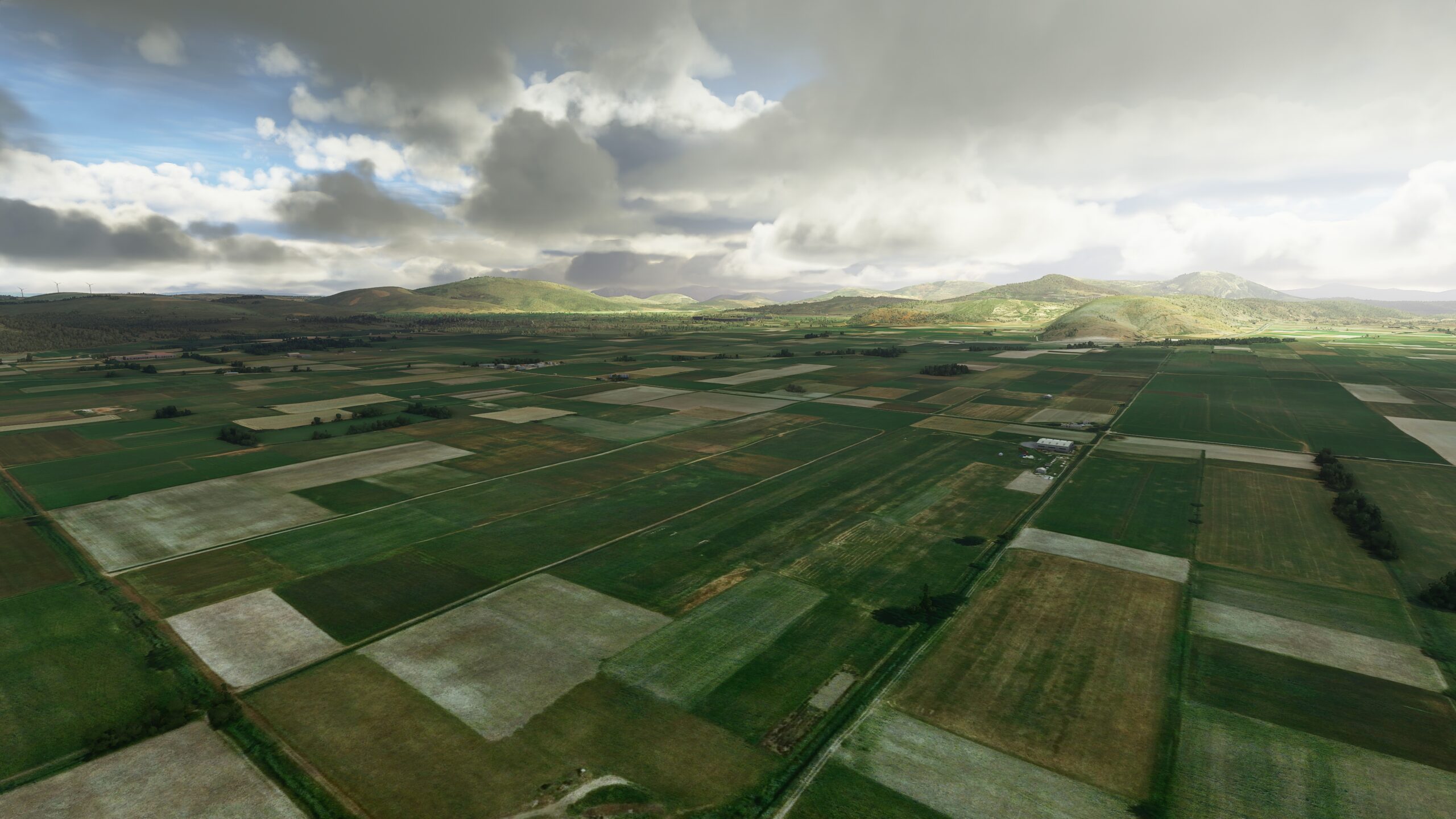
As the road carries you east past Orchomenos, along the southern foot of lush green hills, adjust your heading slightly southeast. A short distance away, buried between blocks of farmland, is the grass runway of Kopaida Dimitri Airport, and the next stop on your trip.
Leg 14
Kopaida Dimitra Airport to Syros Airport
Leg Distance: 117.3 Approximate time at 125kts: 56 minutes.
Kopaida Dimitra Airport(LGAK) to Lake Yliki(POI1)
Distance: 5.13NM Bearing: 119° 2 minutes
To the east of Kopaida Dimitra Airport, Motorway 1 runs directly south, before turning east 90 degrees. Follow this road a short distance and it will lead you to the shores of Limni Iliki.
Lake Yliki(POI1) to Highway Interchange(POI2)
Distance: 5.24NM Bearing: 114° 3 minutes
Track east with the road, around the lake and beyond a nature reserve. Eventually, it will cross paths with another road at a highway interchange.
Highway Interchange(POI2) to Schimatari(POI3)
Distance: 11.66NM Bearing: 88° 6 minutes
Stay with the road as it angles northeast. It will soon bend and start running southeast, taking you along the northern edge of a small town, Schimatari.
Schimatari(POI3) to Oinofyta(POI4)
Distance: 4.24NM Bearing: 125° 2 minutes
Farther down the road, heading southeast, you will come to the village of Oinofyta.
Oinofyta(POI4) to Malakasa(POI5)
Distance: 8.2NM Bearing: 117° 4 minutes
Continue southeast through the Greek countryside, and shortly you will reach the town of Malakasa, with a roundabout at its center.
Malakasa(POI5) to Lake Marathon(POI6)
Distance: 5.5NM Bearing: 125° 3 minutes
The road will run a short distance farther to the east, before a 90-degree bend takes it south. As you follow it, take notice of Limni Marathonos, the lake on the eastern side of the road. Make your way to its northern shore.
Lake Marathon(POI6) to Marathon(POI7)
Distance: 4.43NM Bearing: 102° 2 minutes
From the northern shore of Lake Marathon, head for the eastern edge and beyond Marathon Dam. Find the road running east over a hill, as it turns and paths northwest, bringing you to the area’s namesake town, hidden amongst the hills.
Marathon(POI7) to Nea Makri(POI8)
Distance: 4.75NM Bearing: 169° 2 minutes
Follow the road further, as it leads south into the large town of Nea Makri, on the coast of the Petalioi Gulf.
Nea Makri(POI8) to Kakia Thalassas(POI9)
Distance: 14.71NM Bearing: 161° 7 minutes
Proceed to the coastline and follow it past another, smaller town named Rafina. Farther south, past Vravrona and the ancient remains of the Temple of Artemis you should see a mountain on the coast, lush with foliage. Skirt the mountainside and continue south, passing the small beachfront settlement of Chamolia.
Kakia Thalassas(POI9) to Zastano(POI10)
Distance: 2.98NM Bearing: 143° 1 minutes
As you fly south, you’ll pass over by another mountain rise on the coast. Beyond it, a shoreline comprised of rolling green hills awaits, leading you toward the point of Cape Mavronori jutting into the sea. Continue farther, past homes and businesses scattered along the shore, toward another prominent point, Cape Mavrovuni.
Zastano(POI10) to Makronisos(POI11)
Distance: 6.12NM Bearing: 154° 3 minutes
From Cape Mavrovuni, adjust and turn south east. In the distance, off the coast, is a long, jagged island with a mountain ridge running from north to south. This is Makronisos, notorious former site of a political prison, largest uninhabited Greek island, and part of the Cyclades Archipelago.
Makronisos(POI11) to Kea(POI12)
Distance: 8.35NM Bearing: 107° 4 minutes
Off in the distance, across the channel, behold the island of Kea — home to archaeological wonders and ancient myths about water nymphs and jealous gods. Make your way to Kea’s western shore, and find the looping, curling roads that carve paths up into the island’s hills.
Kea(POI12) to Spathi(POI13)
Distance: 5.5NM Bearing: 89° 3 minutes
Navigate around the hilly northern coast of Kea. Once you’ve reached the eastern side, look for Ormos Kalydonychi, also known as the Bay of Spathi, situated between two hills that jut out into the water.
Spathi(POI13) to Yiaros(POI14)
Distance: 12.84NM Bearing: 96° 6 minutes
From the shores of Kea, head east across deep blue waters, toward the arid and unpopulated island of Gyaros, a former place of exile for prominent prisoners dating back to the early Roman empire.
Yiaros(POI14) to Syros(POI15)
Distance: 11.32NM Bearing: 114° 5 minutes
The island of Gyaros has a long rocky headland that runs into the sea. Make your way along the southern coast, to where the shore ends — then adjust slightly southeast to cross the sea. After a short distance, you will arrive on the shores of Syros, and aim for the most northwestern point of the island.
Syros(POI15) to Syros Airport(LGSO)
Distance: 6.33NM Bearing: 143° 3 minutes
Arc your way around the curved northern coastline of Syros. When you reach the eastern side of the island, turn and head south down the shore toward the town of Ermoupoli, capital of the island and of the Cyclades region. As you fly over the area’s thriving shipyard, across the harbor on a hill in the distance, you will find your next stop: Syros Island National Airport.

Leg 15
Syros Airport to Naxos Island National Airport
Leg Distance: 28.92 Approximate time at 125kts: 14 minutes.
Syros Airport(LGSO) to Akr Korakas(POI1)
Distance: 20.77NM Bearing: 135° 10 minutes
Take flight from the Syros Airport and head for the island’s easternmost point, the rocky Fokiotrypes coast. From there, you’ll continue across the water in the same direction — toward a cluster of islands in the Cyclades group. As you near them, make a path toward the center island of Paros, to a western outcropping that overlooks Agios Ioannis Bay.
Akr Korakas(POI1) to Naxos Island National Airport(LGNX)
Distance: 8.15NM Bearing: 117° 4 minutes
Head southeast once more, across the sea toward the island of Naxos, largest of the Cyclades. Set your sights on the main port city of Naxos. Inland from the bay, beside a lake and nature preserve, stands Naxos Island National Airport.

Leg 16
Naxos Island National Airport to Santorini Airport
Leg Distance: 45.44 Approximate time at 125kts: 22 minutes.
Naxos Island National Airport(LGNX) to Ios(POI1)
Distance: 17.82NM Bearing: 184° 9 minutes
As you depart from Naxos on the last leg of your journey, head south across the water towards Ios, a hilly island with cliffs that plunge down to the sea on most sides.
Ios(POI1) to Koumpara Bay(POI2)
Distance: 4.78NM Bearing: 205° 2 minutes
From the northern coast of Ios, find your way southwest around the island’s hills and outcroppings. Soon, you will pass the bluffs and rock formations that make up the cape of Akra Fanari and protect Ios Bay.
Koumpara Bay(POI2) to Ios Southernmost Point(POI3)
Distance: 6.54NM Bearing: 130° 3 minutes
Again, make your way to the southernmost point of the island, to Cape Achlades at the base of Madrakia mountain.
Ios Southernmost Point(POI3) to Santorini(POI4)
Distance: 9.86NM Bearing: 166° 5 minutes
In the distance, across the waves, you should see a small, circular archipelago in the southern Aegean Sea — a cluster of islands formed by remnants of a volcanic caldera, at the site of one of the largest eruptions in recorded history. Make your way toward the northern coast of the largest island.
Santorini(POI4) to Santorini Airport(LGSR)
Distance: 6.44NM Bearing: 132° 3 minutes
You should arrive over relatively flat coastline, this is the island of Santorini. Follow it around to the south east. Around half way down the eastern coast of the island is your final airport. Not a bad place to finish up after a long coastal tour!
