The island of Sardinia is an autonomous region of Italy located to the south and west of the Italian peninsula. The second largest island in the Mediterranean, Sardinia, with the island of Corsica, to its north, forms the western boundary of the Tyrrhenian Sea.
Although part of Italy, Sardinia is actually slightly closer to the African continental landmass than it is to that of Europe, with its southern extremity just 115 miles north of Tunisia.
Sardinia is renowned for its variety of natural environments, which includes coastlines, forests, plains, and mountains, many of which are relatively pristine. Approximately 1.6 million people live in Sardinia, the two largest cities being Cagliari, the capital of the region, and Sassari.
For many decades, agriculture and sheep farming formed the core of Sardinia’s economy. Today, while the island is home to roughly 4 million sheep, the dominant industries include tourism, finance, and information technology.
The Sardinia Tour provides an exceptional window into the whole of the island, with a route that both transects its interior and follows its dramatic coastline.
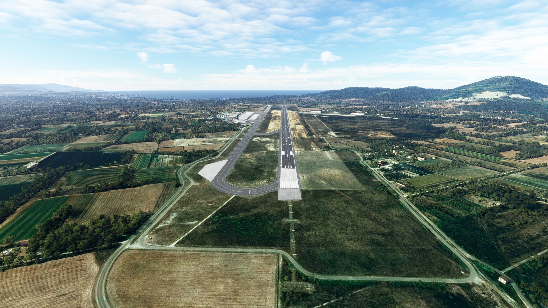
The tour begins just to the northwest of Cagliari at Decimomannu Air Base (LIED). From there, it heads northwest, to begin a clockwise circumnavigation of Sardinia. The itinerary includes sections along coasts on the west, north, east, and south, many of which feature sheer cliffs rising directly out of the water.
The flight passes over the island’s highlands in the east, home to Sardinia’s highest point, Punta La Marmora, and vast swaths of forest.
The journey also includes cities large and small, and tiny, remote villages. It comes to an end at Cagliari Elmas Airport (LIEE) after visiting Cagliari.
Assistance on the trip will be available in the form of a ‘Back on Track’ button on the VFR Map — however, be advised that using this will disable achievements tied to the activity.
Total Legs: 4 Total Distance: 316 Total Time(125kts): 2 hours 31 minutes
Leg 1
Decimomannu Mil to Fertilia
Leg Distance: 93.96 Approximate time at 125kts: 45 minutes.
Decimomannu Mil(LIED) to Santu ‘Engiu(POI1)
Distance: 14.49NM Bearing: 322° 7 minutes
Lift into the sky from Decimomannu Air Base, and head to the northwest, beginning the tour of little-known Sardinia, an island rich in vast panorama and history. The city of Santu ’Engiu, which traces its historical roots to medieval times, lies just a short distance over the rolling terrain of this part of the island.
Santu ‘Engiu(POI1) to Terralba(POI2)
Distance: 12.2NM Bearing: 321° 6 minutes
Continue on course after passing over Santu ’Engiu, using Motorway SS126 as a guide, to the town of Terralba, which lies just inland of the Gulf of Oristano.
Terralba(POI2) to Oristano(POI3)
Distance: 11.38NM Bearing: 348° 5 minutes
Fly just west of due north to Oristano, the capital of the province of Oristano. The city lies on the coast of the Gulf of Oristano, just north of a large, circular wetland, Stagno di Santa Giusta.
Oristano(POI3) to Marcomer(POI4)
Distance: 23.38NM Bearing: 18° 11 minutes
Turn into a north-northeast course, heading inland, staying to the left of Motorway SS131 to reach the town Macomer, a region used extensively for sheep grazing.
Marcomer(POI4) to Pozzomaggiore(POI5)
Distance: 9.53NM Bearing: 322° 5 minutes
Turn to the northwest and parallel Motorway SP44 to reach the village of Pozzomaggiore, a town with an equestrian heritage dating back centuries.
Pozzomaggiore(POI5) to Lago dell’Alto Temo(POI6)
Distance: 7.71NM Bearing: 309° 4 minutes
Parallel Motorway SS292 to the northwest of Pozzomaggiore to reach Lago dell’Alto Temo, a large reservoir in the highlands of the area.
Lago dell’Alto Temo(POI6) to Alghero(POI7)
Distance: 11.02NM Bearing: 294° 5 minutes
Continue to the northwest, rejoining the coast at Alghero, a city that was settled in prehistoric times and subsequently used over the centuries by a people of a number of civilizations, notably the Phoenicians due to its strategic position in the Mediterranean Sea.
Alghero(POI7) to Fertilia(LIEA)
Distance: 4.25NM Bearing: 340° 2 minutes
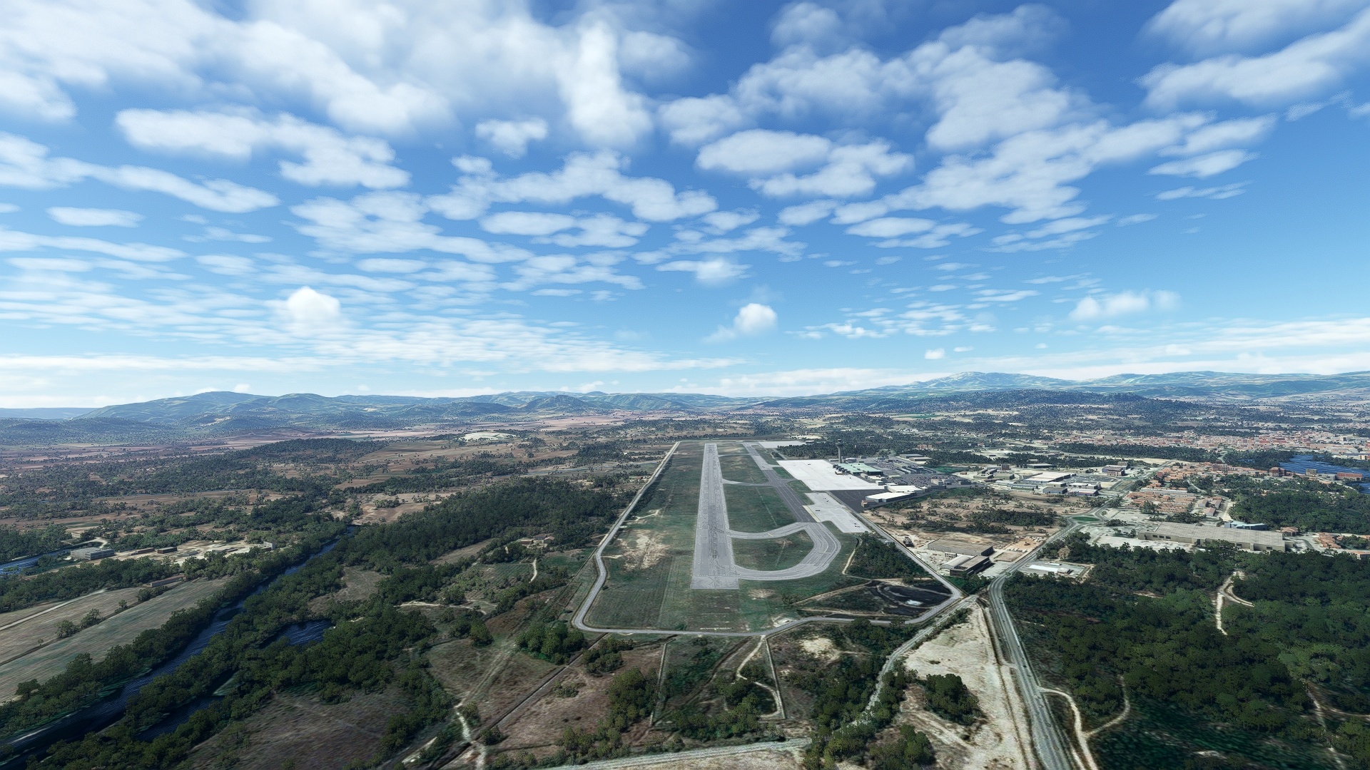
Continue north-northwest and land at Alghero Airport (LIEA), just outside of Alghero.

Leg 2
Fertilia to Costa Smeralda
Leg Distance: 90.42 Approximate time at 125kts: 43 minutes.
Fertilia(LIEA) to Porto Torres(POI8)
Distance: 12.98NM Bearing: 21° 6 minutes
Once back in the air, set a course to the northeast to the city of Porto Torres, the first Roman colony on Sardinia. Porto Torres lies on a prominent point on the Mediterranean Sea’s Gulf of Asinara.
Porto Torres(POI8) to Valledoria(POI9)
Distance: 19.94NM Bearing: 69° 10 minutes
Turn to the east-northeast and first cross the long, wide bay on which Porto Torres sits, then skirt the shore to the coastal town of Valledoria.
Valledoria(POI9) to Isola Rossa(POI10)
Distance: 5.51NM Bearing: 20° 3 minutes
Fly to the northeast from Valledoria to a prominent point of land with a small group of islands just off its shore, the location of the small seaside village of Isola Rossa, renowned for its white sand beaches and turquoise water.
Isola Rossa(POI10) to Costa Paradiso(POI11)
Distance: 4.49NM Bearing: 50° 2 minutes
Continue flying along the roughhewn shore northeast of Isola Rossa to reach Costa Paradiso, a small town surrounded by sheltered coves.
Costa Paradiso(POI11) to Santa Teresa di Gallura(POI12)
Distance: 15.22NM Bearing: 41° 7 minutes
Maintain a northeasterly heading, at first staying just inland of the coastline, then cutting across a small bay to reach Santa Teresa di Gallura, a seaside town at the northern tip of Sardinia.
Santa Teresa di Gallura(POI12) to La Maddalena(POI13)
Distance: 9.98NM Bearing: 95° 5 minutes
Set a heading just south of due east, passing over the waters of the Strait of Bonifacio and into the Maddalena archipelago. Fly just south of the island of Spargi to reach La Maddalena, the largest of the seven islands of the chain. The town of La Maddalena lies on the southern end of the island.
La Maddalena(POI13) to Caprera(POI14)
Distance: 2.78NM Bearing: 104° 1 minutes
From La Maddalena, head to the east-southeast and pass over the sparsely-inhabited island of Caprera.
Caprera(POI14) to Porto Cervo(POI15)
Distance: 4.94NM Bearing: 141° 2 minutes
Head southeast from Caprera toward Porto Cervo on the northeastern Sardinia. The seaside resort town lies within a deep bay just south of a prominent peninsula.
Porto Cervo(POI15) to Olbia(OLBIA)
Distance: 12.89NM Bearing: 183° 6 minutes
Fly southward from Porto Cervo, staying just inland of the coastline, and sight the city of Olbia, which lies within a deep, narrow natural bay.
Olbia(OLBIA) to Costa Smeralda(LIEO)
Distance: 1.69NM Bearing: 146° 1 minutes
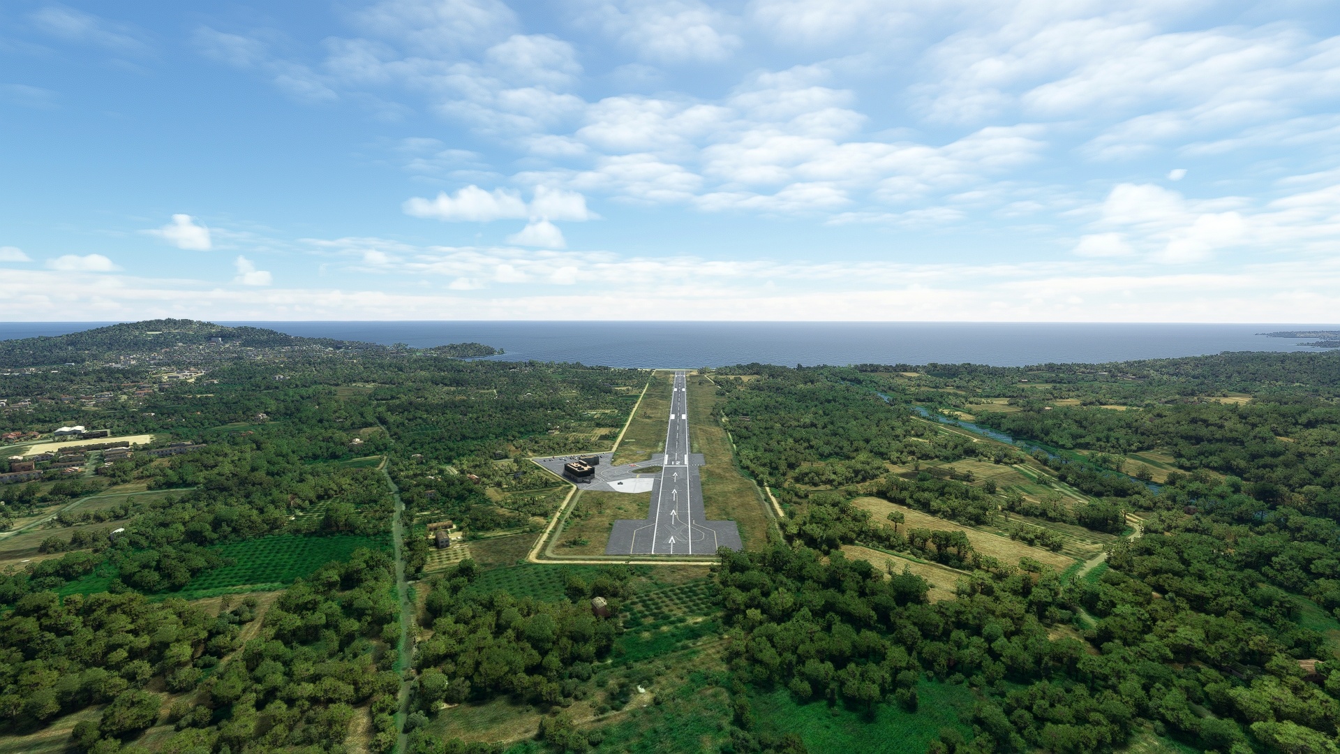
From Olbia, turn and land at Olbia Costa Smeralda Airport (LIEO), just south of Olbia.

Leg 3
Costa Smeralda to Tortolì
Leg Distance: 74.17 Approximate time at 125kts: 36 minutes.
Costa Smeralda(LIEO) to San Teodoro(POI16)
Distance: 10.45NM Bearing: 134° 5 minutes
Back in the air, fly southeast over rolling coastal plains, roughly paralleling Motorway SS131, to the coastal town of San Teodoro, famous for its white sand beaches and shallow, turquoise water.
San Teodoro(POI16) to Siniscola(POI17)
Distance: 11.98NM Bearing: 172° 6 minutes
From San Teodoro, fly due south, following Motorway SS131, to the town of Siniscola.
Siniscola(POI17) to Nuoro(NUORO)
Distance: 22.67NM Bearing: 225° 11 minutes
Head southwest from Siniscola, heading inland. Follow Motorway SS131, keeping just to its north, flying over low mountains of the region to the city of Nuoro.
Nuoro(NUORO) to Urzulei(POI18)
Distance: 15.93NM Bearing: 145° 8 minutes
From Nuoro, head southeast, over a series of mountains as high as 4,500 feet above sea level, then pass over the high Campu Oddeu plain to reach the mountain village of Urzulei.
Urzulei(POI18) to Tortoli(LIET)
Distance: 13.14NM Bearing: 139° 6 minutes
Continue on a southeasterly heading, flying over the Pramaera River, verdant forest, and then coastal plains to land at Tortolì Airport (LIET).

Leg 4
Tortolì to Elmas Mil
Leg Distance: 57.63 Approximate time at 125kts: 28 minutes.
Tortoli(LIET) to Lanusei(POI19)
Distance: 7.09NM Bearing: 246° 3 minutes
From Tortolì Airport, head west-southwest to the town of Lanusei, built in the forested highlands of the area at the crossing of a number of highways.
Lanusei(POI19) to Lago Basso del Flumendosa(POI20)
Distance: 16.06NM Bearing: 218° 8 minutes
Turn to the southwest and fly over large tracts of forested, rolling mountains. Gain a visual on Lago Basso del Flumendosa, a long, narrow reservoir created by the damming of the Flumendosa River and head toward its southern extremity.
Lago Basso del Flumendosa(POI20) to Lago di Muralgia(POI21)
Distance: 4.68NM Bearing: 215° 2 minutes
Continue on course to another large reservoir, Lago di Muralgia, which lies just a few miles to the southwest of Lago Basso del Flumendosa.
Lago di Muralgia(POI21) to Dolianova(POI22)
Distance: 14.71NM Bearing: 189° 7 minutes
South of Lago di Muralgia, across sweeps of forest, lies the town of Dolianova, known for its wine and olive oil.
Dolianova(POI22) to Sinnai(POI23)
Distance: 4.63NM Bearing: 161° 2 minutes
Fly south of Dolianova, across a stretch of forest and low peaks to the town of Sinnai, which lies at the southern base of local highlands.
Sinnai(POI23) to Stagno di Malentargius(POI24)
Distance: 5.71NM Bearing: 206° 3 minutes
Southwest of Sinnai, on the low coastal plain, is a large oval estuary that is visible from miles distant, Stagno di Molentargius, a wetland that hosts a wide variety of bird species.
Stagno di Malentargius(POI24) to Cagliari(POI25)
Distance: 1.8NM Bearing: 273° 1 minutes
Cagliari, the capital of Sardinia, lies just to the west of Stagno di Molentargius. The city has a long and varied history, and features buildings both modern and centuries-old.
Cagliari(POI25) to Elmas Mil(LIEE)
Distance: 2.95NM Bearing: 303° 1 minutes
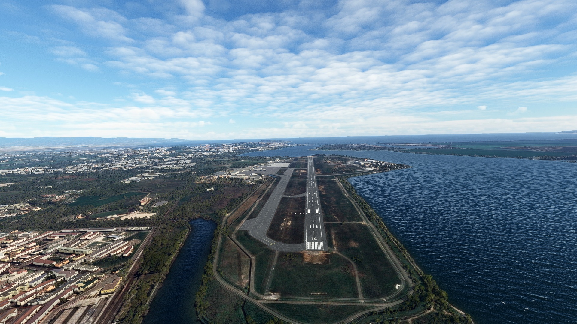
From Cagliari, head to the northwest, and land at Cagliari Elmas Airport (LIEE), bringing the circumnavigation of Sardinia to a close.

