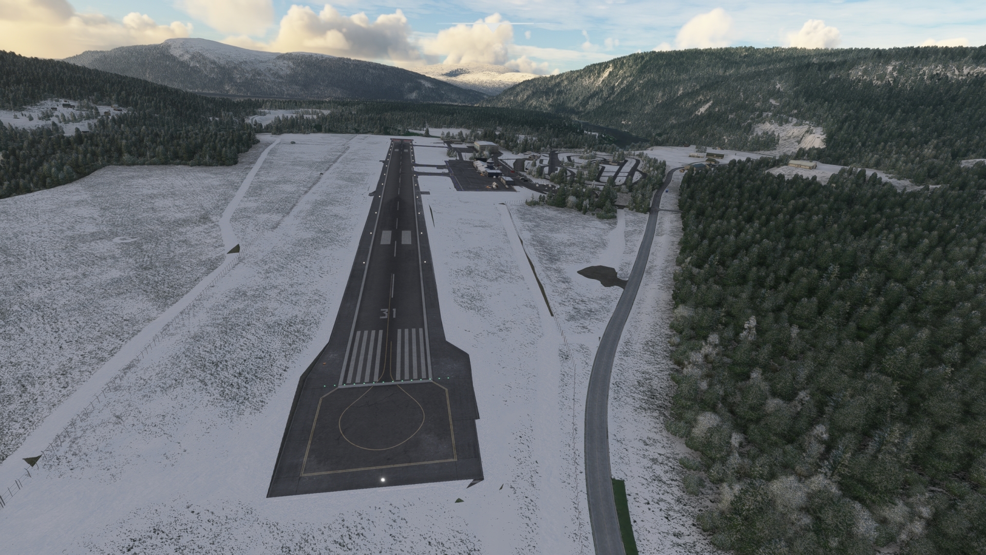
Spitsbergen – Norway Mainland
Spitsbergen, the largest and westernmost island in Norway’s Svalbard archipelago, is one of the Nordic region’s most renowned, and little-known, regions. It is a mysterious arctic world steeped in the history of exploration and scientific inquiry that remains virtually untouched by humanity.
The starkly beautiful island, which measures 250 miles north-to-south and 150 miles at its widest, is located just under 1,000 miles from the North Pole at the juncture of the Arctic Ocean proper, the Norwegian Sea, the Barents Sea, and the Greenland Sea. The name “Spitsbergen” translates to “pointed mountains” in Dutch and is evocative of its physical nature, which is characterized by mountains, glaciers, and fjords. More than half of the island is covered by glacial ice and the highest point, Newtontoppen (Newton Peak), stands more than a vertical mile above sea level at 5,620 feet in elevation.
Spitsbergen was discovered in 1596 by Dutch Explorers and eventually was used as a base for whaling operations. Today, it is the only permanently inhabited island in the Svalbard archipelago. Its first settlement, Longyearbyen, was established in the early 20th century to serve the coal mining industry, which remains the primary mainstay of the island’s economy to this day.
Spitsbergen is perhaps most renowned for research and geographic exploration. In 1926, American explorer Richard Evelyn Byrd used the island as a base for his 1926 attempt to reach the North Pole in a Fokker F.VIIa/3m tri-motor aircraft. Also in 1926, Norwegian polar explorer Roald Amundsen launched his airship, the Norge, from Spitsbergen on a flight that successfully crossed over the North Pole and traversed the entirety of the world’s arctic latitudes. Scientists have used the island for decades for a wide variety of research, notably for work to understand arctic environments, weather, and climate.
The Spitsbergen Bush Trip explores the southwestern coast of the island, then crosses the eastern extremity of the Norwegian Sea near its boundary with the Barents Sea, and ends with a journey along the northern reaches of mainland Norway.
Special considerations:
Ensure proper familiarization with instrument navigation of the Cessna 208B Grand Caravan EX.
Attention to fuel level is critical! Refueling is only possible at airports that offer fuel.
Maximize the aircraft’s efficiency and range by adjusting power settings accordingly.
Total Legs: 4 Total Distance: 1017 Total Time(125kts): 8 hours 8 minutes
Leg 1
Svallbard-Airport to Banak
Leg Distance: 563.63 Approximate time at 125kts: 271 minutes.
Svallbard Airport(ENSB) to Festningen Geotope Protected Area(POI1)
Distance: 25.27NM Bearing: 233° 12 minutes
After lifting off from Svalbard Airport, begin a circular climb up to 2,500 feet above sea level to gain a full view of the region in which the airport is located. Svalbard Airport lies on the southwest coast of Adventfjorden, a small fjord that opens to the south side of the 66-mile-long Isfjorden, the second longest fjord in the Svalbard Archipelago.
Longyearbyen, the administrative center of Svalbard and its largest population center, lies tucked into the head of Adventfjorden, just to the southeast of the airport. The airport is built at the base of Platåberget, a flat-topped mountain that rises to an altitude of just over 1,500 feet above sea level where the Adventfjorden and Isfjorden fjords meet. The Svalbard Global Seed Vault, a secure seed repository for more than one million of the world’s crops, is built into the side of Platåberget directly above the east end of the airport’s runway. The Svalbard Satellite Station, which is critical for communications with polar orbiting satellites, was built atop Platåberget due to the unique combination of its northerly location and the obstruction-free field of view its summit provides.
The fjords of Spitsbergen, notably Isfjorden, are some of the most dramatic in the world. Fjords form over millions of years as a result of glaciers weathering and eroding bedrock over which they flow, forming U-shaped valleys that are then partially submerged. Continue flying along the southern edge of Isfjorden on a west-southwest heading and sight its opening to the Greenland Sea. Pass the mouth of Grønfjorden, a small fjord that connects to the southern side of Isfjorden, to reach the Festningen Geotope Protected Area, which protects the geologic component of the area’s ecosystem, including a line of cliffs at the southern edge of the fjord.
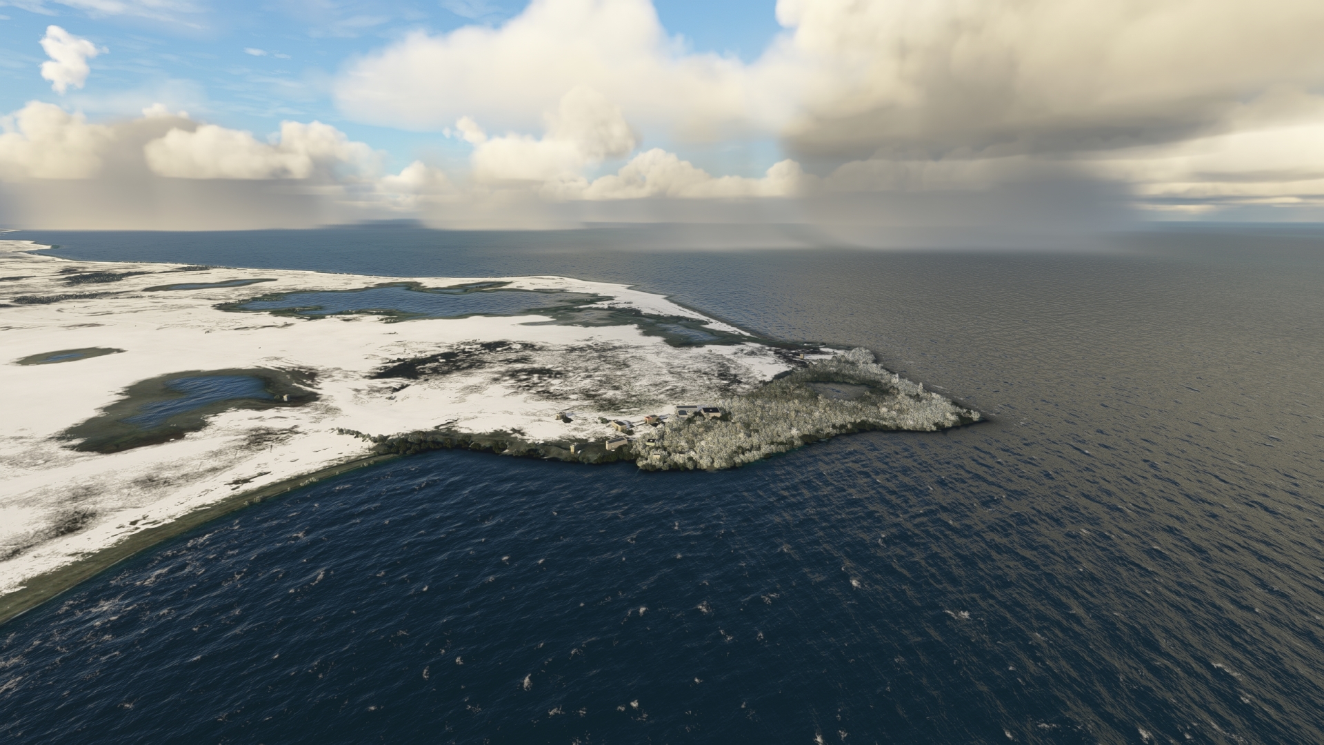
Festningen Geotope Protected Area(POI1) to Bellsund(POI2)
Distance: 32.18NM Bearing: 163° 15 minutes
At the opening of Isfjorden to the Greenland Sea, turn to the south and track the coastline. Cross the 11-mile-wide Bellsund (Bell Sound) where it meets the Greenland Sea. The Bellsund, although called a sound, is actually a fjord. It was created by a glacier that formed by the merging of two smaller glaciers to the east. The northerly of these two glaciers formed the modern-day Van Mijenfjorden, Svalbard’s third longest fjord at 52 miles in length, and the southerly of these glaciers formed Van Keulenfjorden. Both of these fjords feed into the Bellsund.
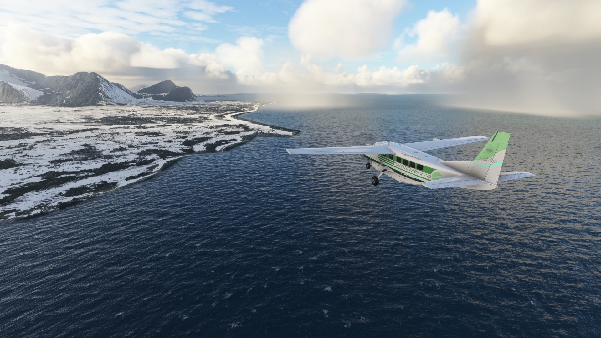
Bellsund(POI2) to Hornsund(POI3)
Distance: 43.59NM Bearing: 140° 21 minutes
At the southern end of the Bellsund, turn into a southeast heading and follow the general trend of the coastline, remaining inland of it. This region, the southern portion of Spitsbergen, is protected by South Spitsbergen National Park. The region is a wonderland of glaciers, jagged peaks, knife-edge ridgelines, fjords, and other glacial features. It is also renowned as an important bird habitat, with a variety of species using it for breeding grounds. Pass over two small bays and then gain a visual on and fly over the opening of the Hornsund, the largest fjord in southern Spitsbergen at 7.5 miles wide by 19 miles long.
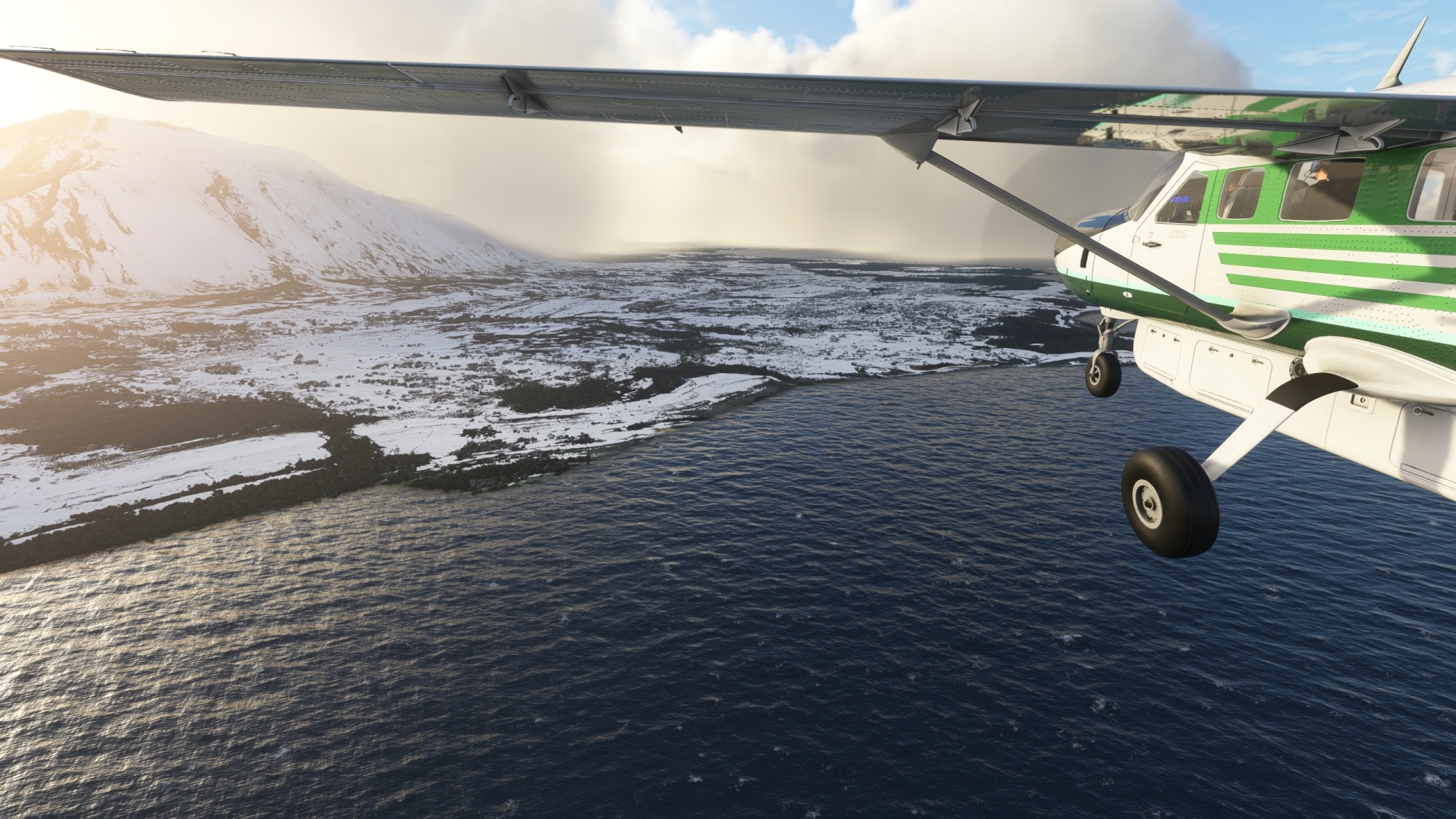
Hornsund(POI3) to Sorkappoya (South Cape Island)(POI4)
Distance: 28.51NM Bearing: 138° 14 minutes
Continue on a southeasterly course, paralleling the western coastline of Sørkapp Land, the region of Spitsbergen south of the Hornsund. Flying over the west coast of Sørkapp Land offers a tremendously insightful perspective into the formation of this unique landscape as it offers views that range from the sea to the interior highlands.
Spitsbergen is located where ocean currents and atmospheric patterns clash. Warm water of the West Spitsbergen Current, an extension of the Gulf Stream current of North America, sweeps past western Spitsbergen continuously. This current, which breaks off the Norwegian Current, drives into the Arctic Ocean through the Fram Strait. The Fram Strait, an oceanic passage between Spitsbergen and Greenland, is the location of the Greenland and Norwegian Seas, and the only deep-water passage, via the Atlantic, between the Arctic Ocean and the world’s other oceans.
The West Spitsbergen Current brings warm, moist air to the area, which meets cold, dry arctic air. This results in a wide range of weather, from fog, to extreme winds, to intense mountain storms. These mountain storms provide nourishment in the form of snowfall, which compacts into ice under the press of gravity, to Spitsbergen’s numerous glaciers. The warm water of the West Spitsbergen Current also keeps the Fram Strait, including the water adjacent to Spitsbergen, ice free throughout the year.
Just south of Hornsund is a coastal plain called Bjørnbeinflya on its northern reaches and Olsokflya on its southern end. The plain is composed of gravel, sand, and boulders from moraines of glaciers farther inland. The southern edge of the plain opens to Stormbukta, a wide bay with the Olsokbreen glacier at its head. Pass by the opening of Stormbukta and gain a visual on Øyrlandet, a long, low peninsula that extends from the main shore of Sørkapp Land southwest into the sea. Pass over the lakes that dot the peninsula and then fly over the western margin of the bay Sommerfeldtbukta. Sight Sørkappøya, South Cape Island, the southernmost aspect of Spitsbergen. Fly over South Cape Island, where the waters of the Greenland Sea, the Norwegian Sea, and the Barents Sea meet, and prepare for a long journey over open water by adjusting altitude and power settings appropriately.
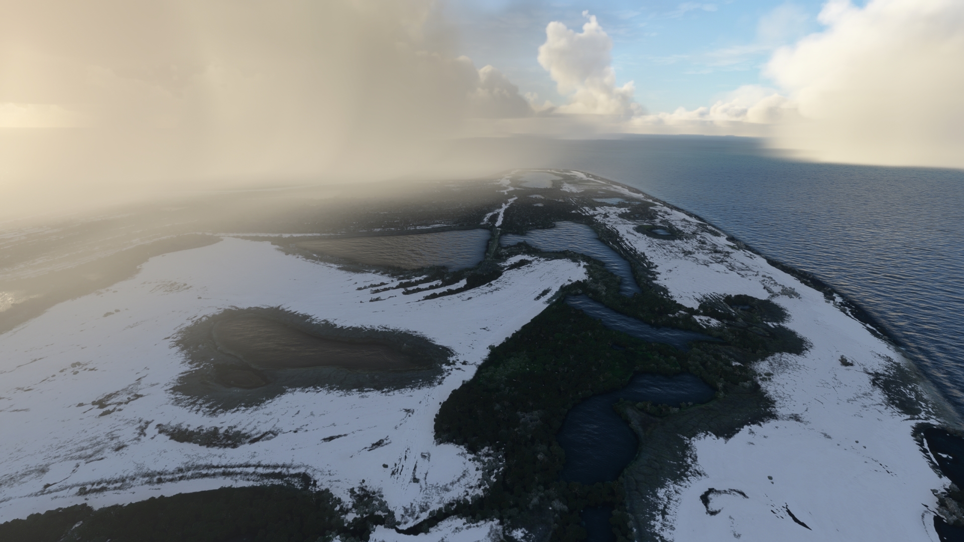
Sorkappoya (South Cape Island)(POI4) to Bjornoya Meteo (Bear Island Weather Station)(POI5)
Distance: 124.36NM Bearing: 150° 60 minutes
Set a course of 152° M and set the aircraft’s ADF receiver to 316.0kHz, the frequency of NDB Bjørnøya (BJO). Note that due to range limitations, the NDB Bjornoya signal will not be received until far off the coast of southern Spitsbergen. Adjust course appropriately once detected.
Bear Island (Bjørnøya in Norwegian) is the southernmost island in the Svalbard Archipelago. The rocky, triangular-shaped island was named for polar bears that occasionally visit the island. Just 69 square miles in size, Bear Island is located at the juncture of the Norwegian Sea and the Barents Sea in the path of the Norwegian Current. The island experiences the mildest conditions of the Svalbard Archipelago due to this warm current, although extreme weather can rage here at any time.
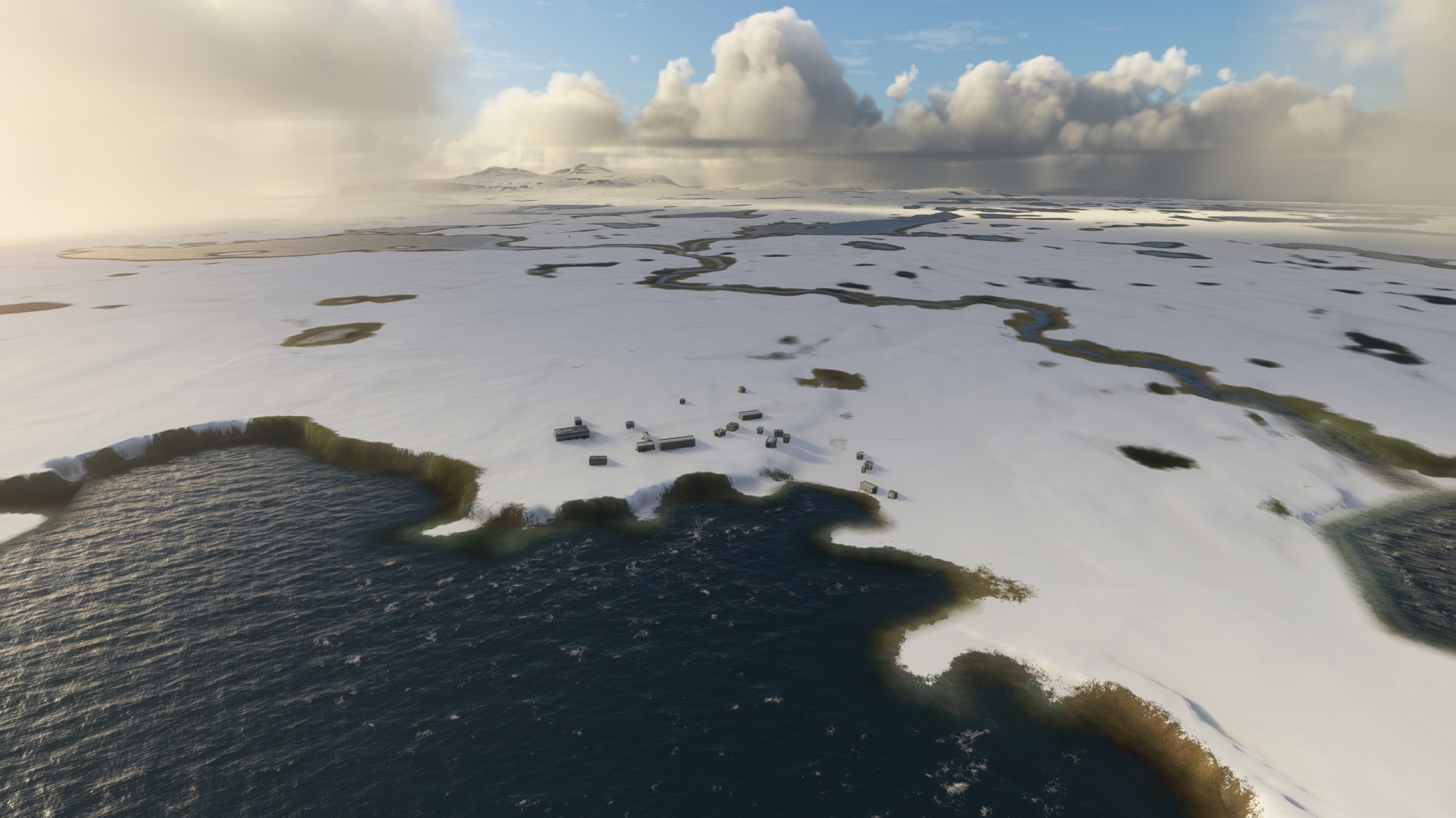
Over the past centuries, Bear Island has served as a base for whaling, hunting, fishing, and coal mining. Today, human habitation is limited to the few people who operate the Bjørnøya Meteo, Bear Island Weather Station. Located at Herwighamna, a former settlement on the north shore of the island along Herwighamna Bay, the weather station traces its lineage to 1919 as a Norwegian radio station.
Gain a visual on the island and locate the site of Herwighamna and the weather station on its northern edge.
Bjornoya Meteo (Bear Island Weather Station)(POI5) to Bjornoya(BJO)
Distance: 1.42NM Bearing: 90° 1 minutes
Set course to the southeast and overfly NDB Bjørnøya.
Bjornoya(BJO) to Knivskjellodden(POI6)
Distance: 230.52NM Bearing: 134° 111 minutes
Set a course of 136° M and set the aircraft’s ADF receiver to 308.5 kHz, the frequency of NDB Honningsvag Helnes (OM). Note that due to range limitations, the NDB Honningsvag Helnes signal will not be received until far off the coast of Bear Island. Adjust course appropriately once detected.
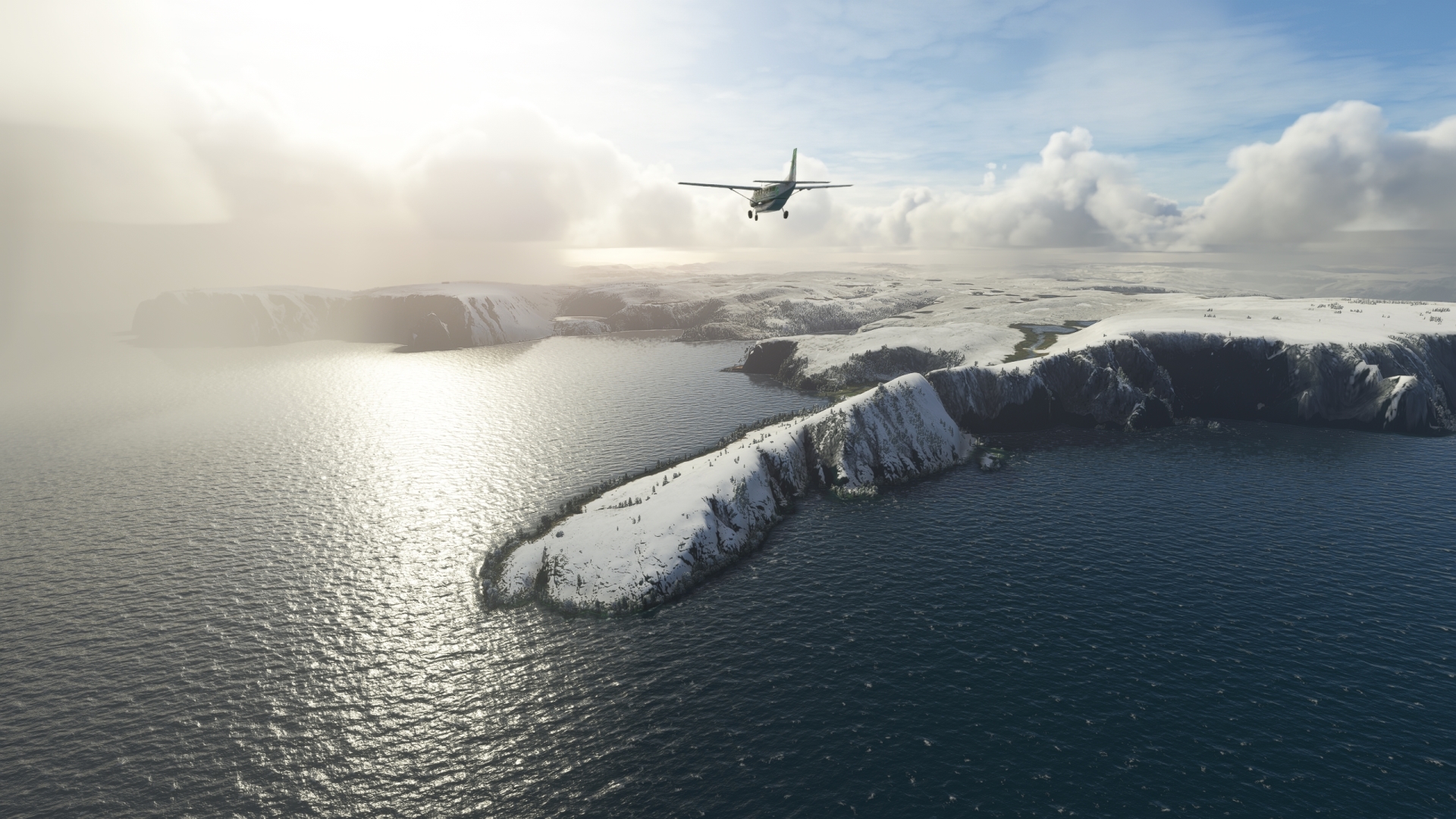
After more than an hour of flying, gain a visual on the Norwegian island of Magerøya. Although an island, Magerøya is considered the northernmost point of continental Europe (it is connected by bridge and tunnel to mainland Norway). Gain a visual on Knivskjellodden, a small peninsula that is the northernmost part of Magerøya. Fly over Knivskjellodden and turn to the east-southeast.
Knivskjellodden(POI6) to The North Cape(POI7)
Distance: 2.22NM Bearing: 96° 1 minutes
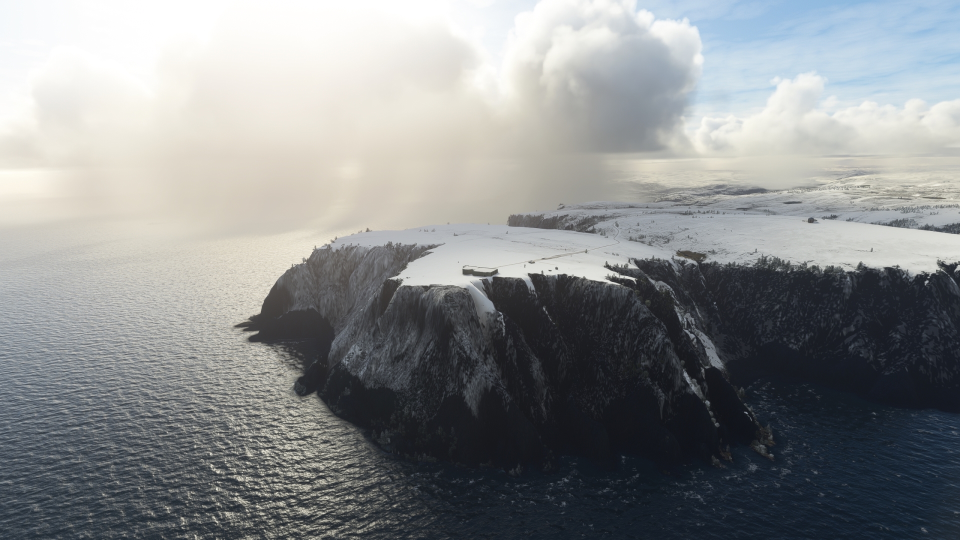
Cross over the small bay Knivskjelbukta, which lies to the east of Knivskjellodden, and sight the next point of land, Nordkapp, Norwegian for North Cape. Although not the farthest north point of land in continental Europe, it is the farthest north point that is accessible by vehicle. European route E69, the northernmost road in the world that connects to a major international highway network, terminates at Nordkapp. The cape itself is a plateau that ends in a cliff that plunges dramatically into the Barents Sea.
The North Cape(POI7) to Honningsvag Helnes(OM)
Distance: 10.81NM Bearing: 112° 5 minutes
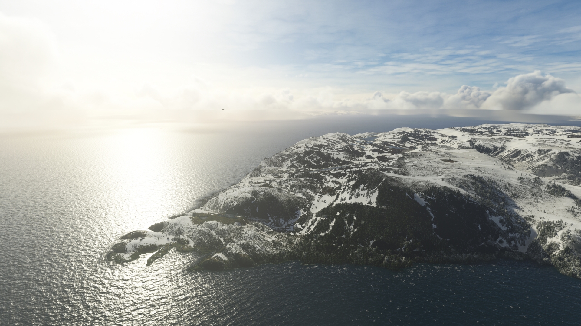
Turn onto a course to the southeast and pass over a bay and then a peninsula, then gain a visual on the northern tip of the next peninsula to the east. NDB Honningsvag Helnes is located at the northern tip of the peninsula next to Helnes Lighthouse, one of Europe’s northernmost lighthouses.
Honningsvag Helnes(OM) to Lakselv Airport(ENNA)
Distance: 64.75NM Bearing: 188° 31 minutes
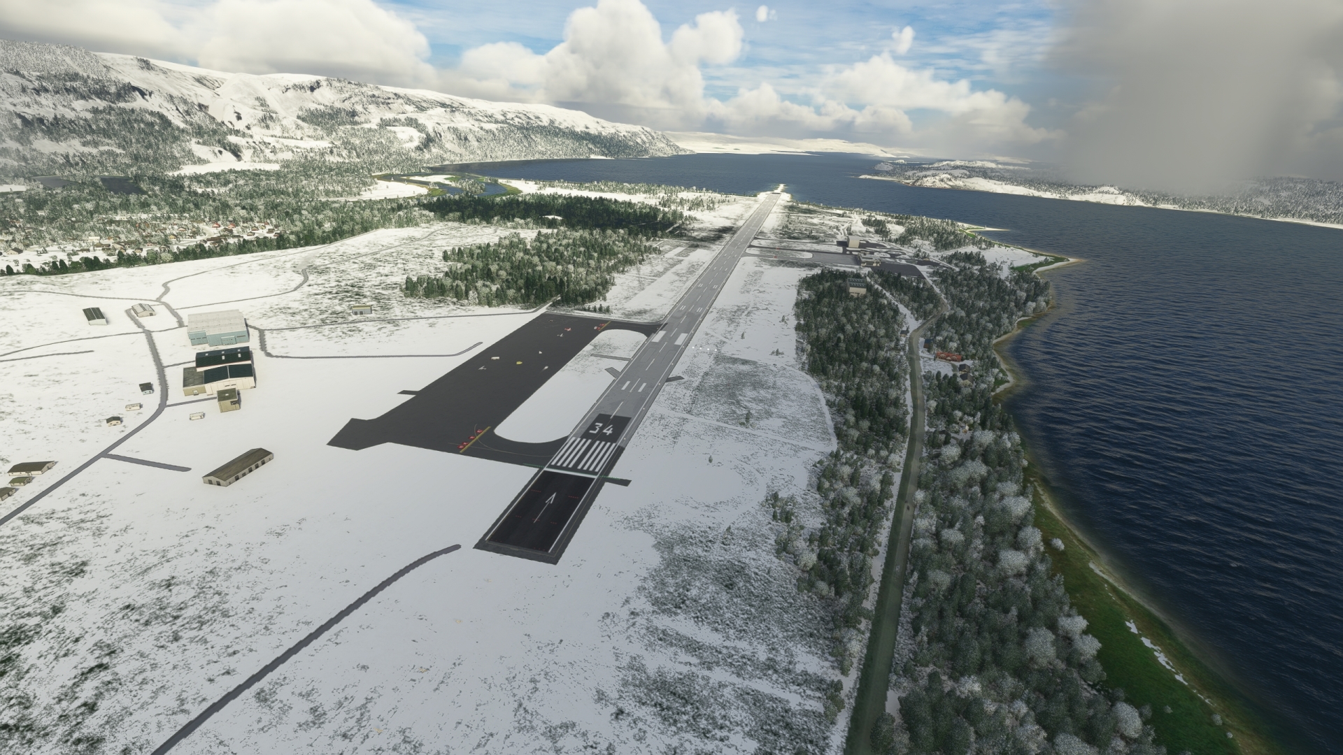
Turn onto a south-southwest course after passing over the Helnes Lighthouse and fly along the western side of Porsangerfjorden, the fourth longest fjord in Norway at 76 miles. Cross over the prominent north-south trending peninsula on the southern end of the fjord, Oldereidhalvöya, flying from its northeast aspect to its southwest. Sight a smaller peninsula at the very southern end of the fjord, just to the west of Oldereidhalvöya, Banak Peninsula. Lakselv Airport lies on the Banak Peninsula, just to the east of the delta of the Lakselva river, which empties into the head of Porsangerfjorden. Land and shut down, storing the aircraft in cold and dark.
The airport is a military / civil dual use facility that serves the village of Lakselv, the largest population center in the area. It has a history dating back to the 1930s when an airstrip was constructed in response to Soviet militarization of the Kola Peninsula, 650 miles to the northeast.
Leg 2
Lakselv Airport to Kautokeino Airfield
Leg Distance: 96.2 Approximate time at 125kts: 46 minutes.
Lakselv Airport(ENNA) to Sami Parliament of Norway(POI8)
Distance: 37.35NM Bearing: 149° 18 minutes
Lift back into the sky and set a heading to the south-southwest, flying into the shallow Lakselv Valley. Gain a visual on and follow the general path of European route E6. The highway runs along the Lakselv Valley, paralleling the Lakselva river.
Stabbursdalen National Park lies directly to the west of the Banak Peninsula and is easily visible once in the air from Lakselv Airport. The park is renowned for protecting the northernmost pine forest in the world, with some individual trees living to 500 years of age.
The landscape of the Lakselv Valley is defined by numerous lakes and streams, remnants of glaciation of the most recent ice age, the Pleistocene epoch. Fly over Gákkajávri and then pass just to the east of Idjajávri, two of the largest lakes in the valley. Gain a visual on the Karasjohka river and the intersection of European route E6 and Norwegian National Road 92. The town of Karasjok lies on the banks of a prominent bend of the Karasjohka river at this highway intersection.
Karasjok is home to the Sámi Parliament of Norway, the representative body of people of Sámi heritage in Norway. The Sámi are the indigenous people of the Scandinavian Peninsula and portions of Russia’s Kola Peninsula. The Sámi have an estimated population of between 70,000 and 100,000, with 50,000 to 65,000 living in Norway.

Sami Parliament of Norway(POI8) to E45(POI9)
Distance: 44.17NM Bearing: 235° 21 minutes
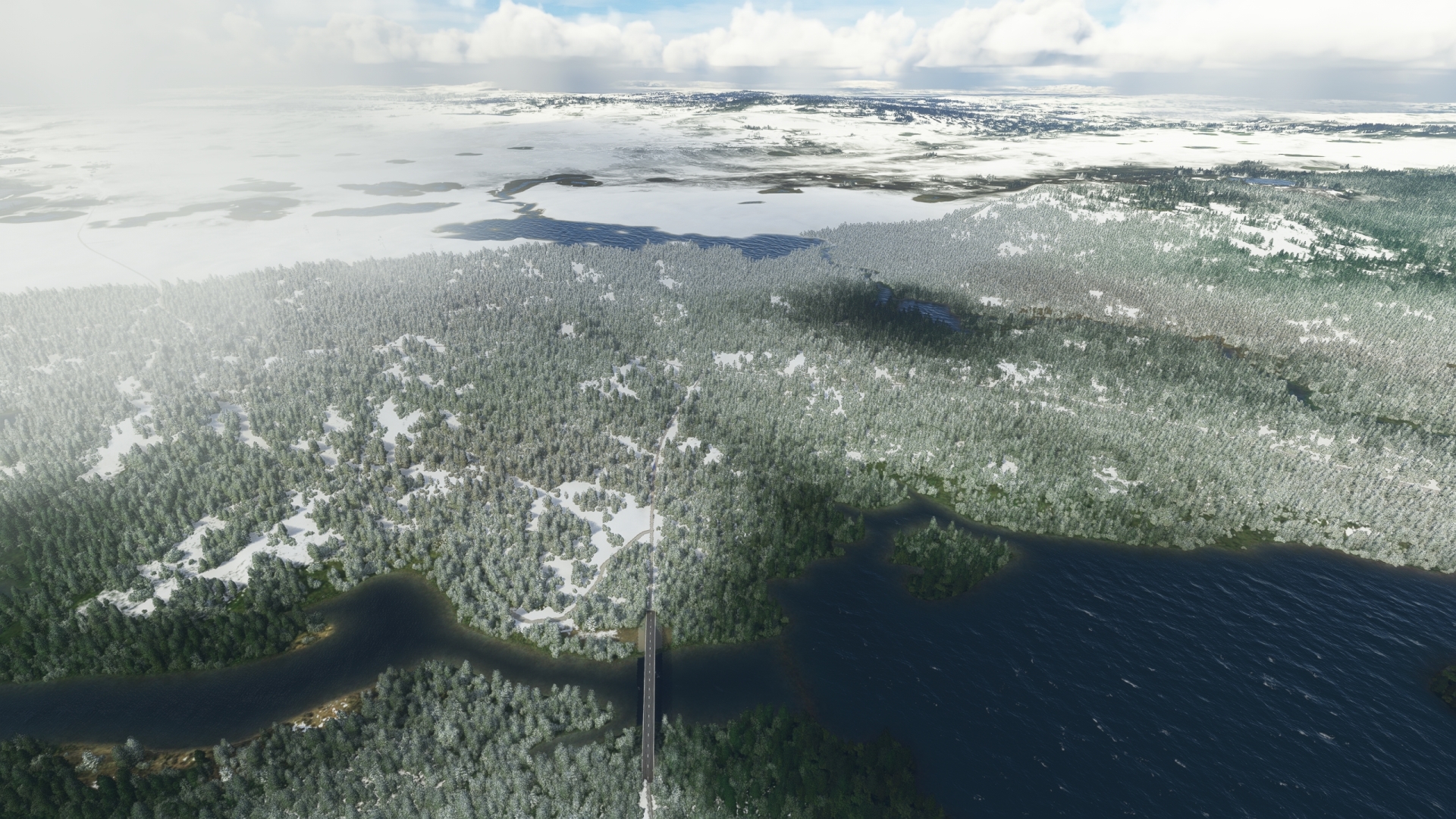
Adjust heading to the southwest at Karasjok and follow the general course of Norwegian National Road 92. The highway parallels the Karasjohka river, which runs through a shallow valley. Pass over sweeps of forests and glacially polished outcrops. Gain a visual on and pass over the intersection of Norwegian National Road 92 and European route 45, E45.
E45(POI9) to Kautokeino Airfield(ENKA)
Distance: 14.68NM Bearing: 218° 7 minutes
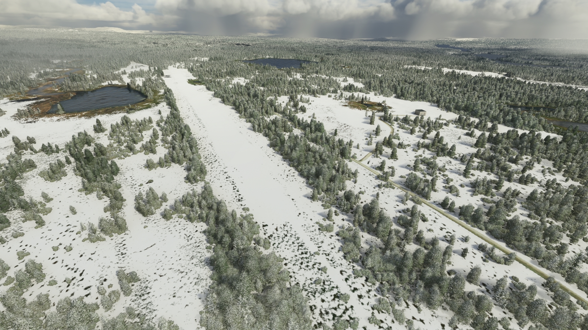
Follow E45 to the southwest, paralleling the Altaelva (Alta River), which in this part of Norway is called the Kautokeinoelva (Kautokeino River). Sight the location where E45 makes a pronounced turn to the south. Kautokeino Airfield, which lies to the north of the village of Kautokeino, is located just to the northwest of this bend. Land on the gravel airstrip to bring this leg of the journey to an end.
Kautokeino Airfield traces its lineage to the early days of World War II, when German forces built an emergency airstrip at the location. Although it has been upgraded a number of times in successive decades, the airstrip is used little.
Leg 3
Kautokeino Airfield to Andøya Airport
Leg Distance: 153.33 Approximate time at 125kts: 74 minutes.
Kautokeino Airfield(ENKA) to Poroeno River(POI10)
Distance: 21.97NM Bearing: 257° 11 minutes
Lift off from Kautokeino Airfield and set a course to the west. As a navigation aid, enter the frequency for NDB Tiller (TIL), 350.0 kHz, into the aircraft’s ADF receiver. Gain altitude until the ADF receiver detects the signal and set a course toward it.
Pass over the lakes, streams, and stands of forest of this part of Norway, then cross the border with Finland. Shortly after passing the border, fly over the Poroeno River, located in the northwestern arm of the country.
Poroeno River(POI10) to Kilpisjarvi Lake(POI11)
Distance: 26.2NM Bearing: 257° 13 minutes
After overflying the Poroeno River, continue maintaining course to NDB Tiller and fly into the heart of the Käsivarsi Wilderness Area. At 852 square miles and occupying the northwesternmost portion of the northwest arm of Finland, the Käsivarsi Wilderness Area is the second largest wilderness area in Finland. It is renowned primarily for being the most mountainous part of the country and it is home to the nation’s highest point, Halti Fell, 4,478 feet above sea level.
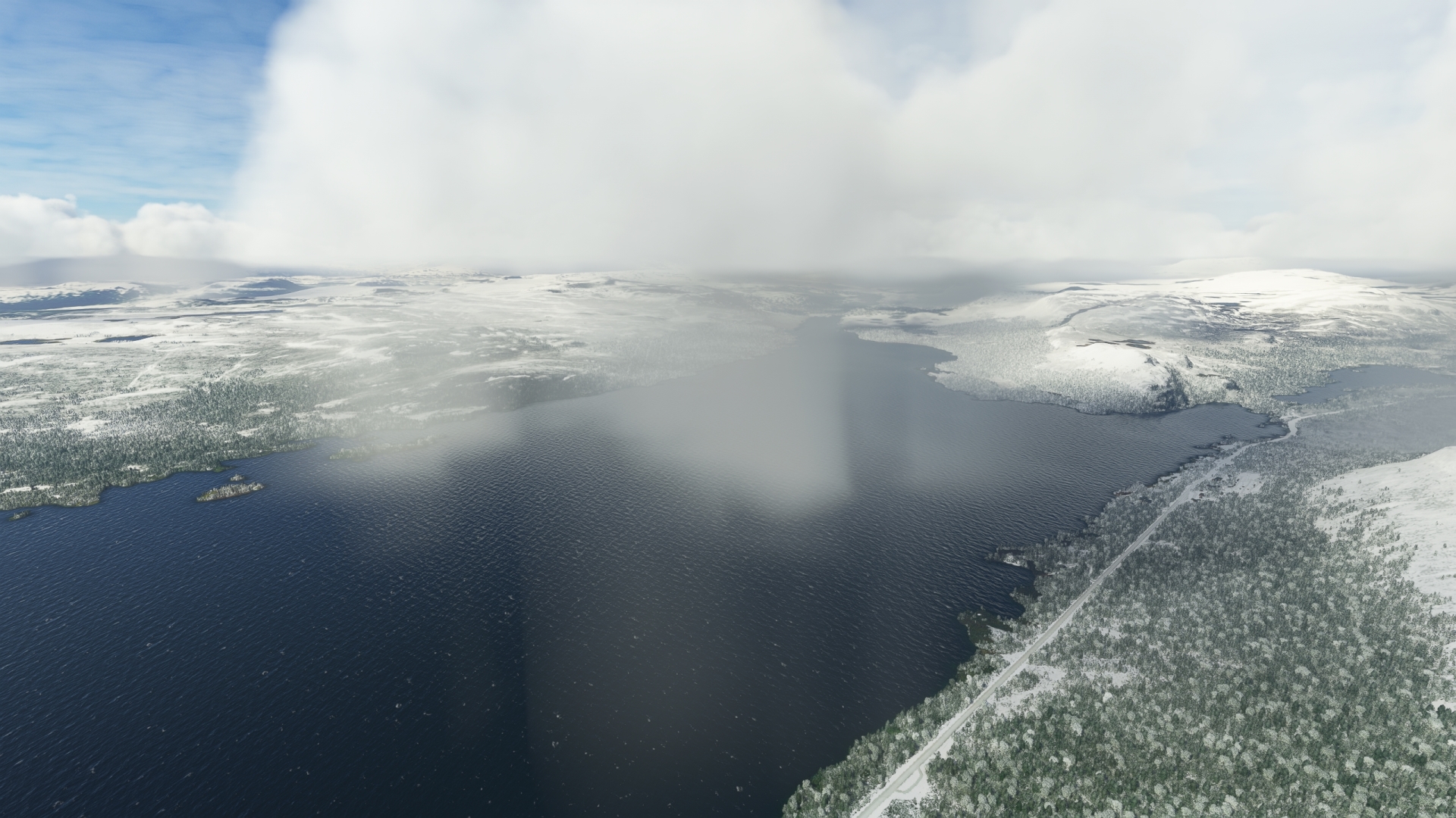
Maintain heading and pass just to the north of Lake Termisjärvi, then sight Lake Kilpisjärvi and Saana, a mountain that rises off the lake’s eastern shoreline. Saana, a local high point that stands at an altitude of 1,824 feet above sea level, is a sacred mountain to the Sámi people. Fly just to the south of Saana and then over the water of Lake Kilpisjärvi. The Three-Country Cairn, a monument at the point where the borders of Finland, Norway, and Sweden meet, lies just to the northwest of the lake. Pass into Sweden at the midpoint of the lake and continue on course toward NDB Tiller.
Kilpisjarvi Lake(POI11) to Tiller(TIL)
Distance: 36.5NM Bearing: 257° 18 minutes
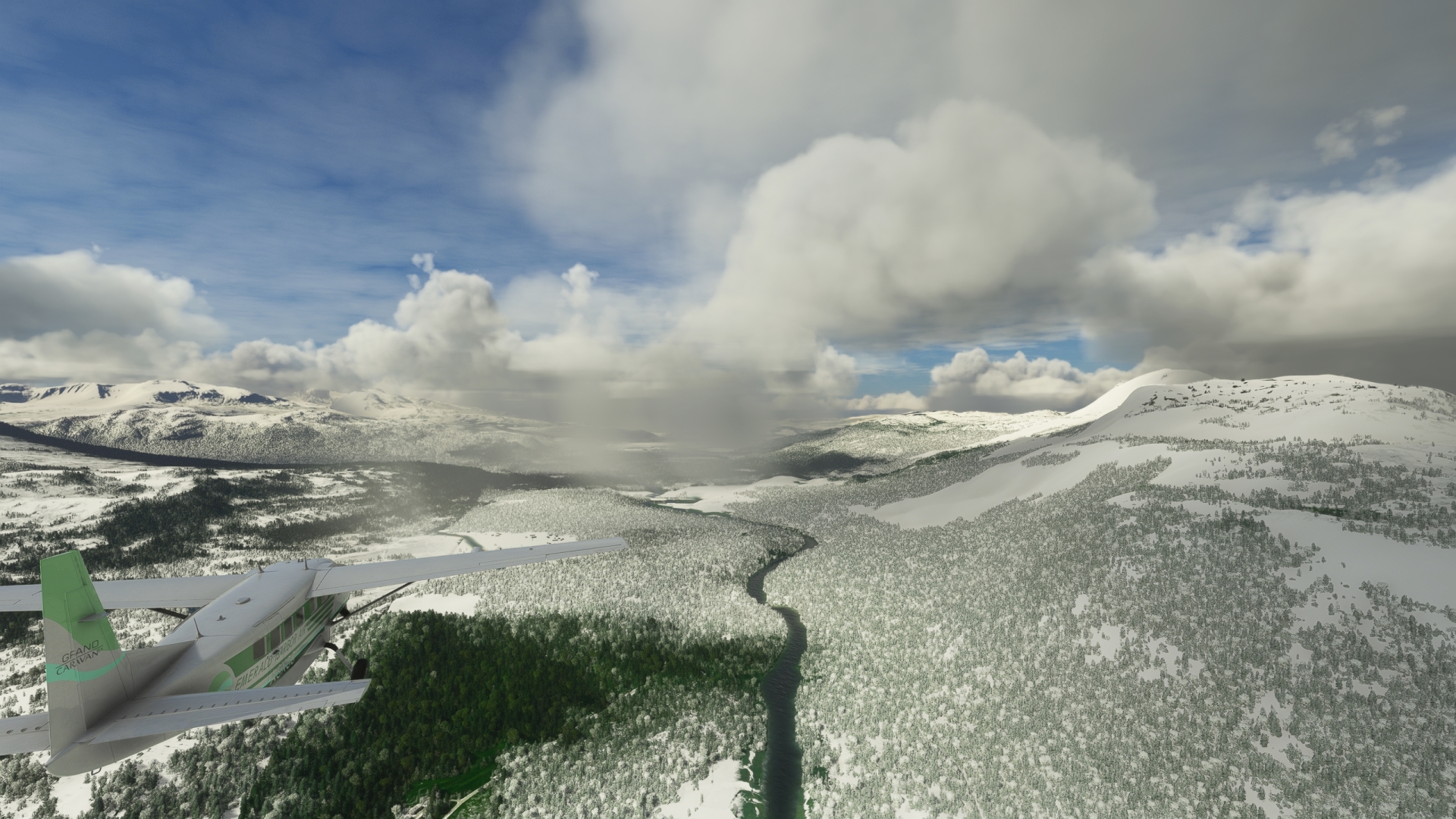
After overflying Lake Kilpisjärvi, continue on course. Fly just to the north of Pältsan, a prominent mountain standing 4,731 feet above sea level, and then pass into Norway. Fly over Lille Rostavatn, a large lake, and then follow the general course of the river Målselva from Lille Rostavatn to NDB Tiller.
Tiller(TIL) to Senja(SJA)
Distance: 29.19NM Bearing: 280° 14 minutes
Turn onto a northwest heading and follow the Målselva River to Bardufoss Airport. Set the aircraft’s ADF receiver to NDB Senja (SJA), 414.0 kHz, and adjust heading appropriately toward NDB Senja.
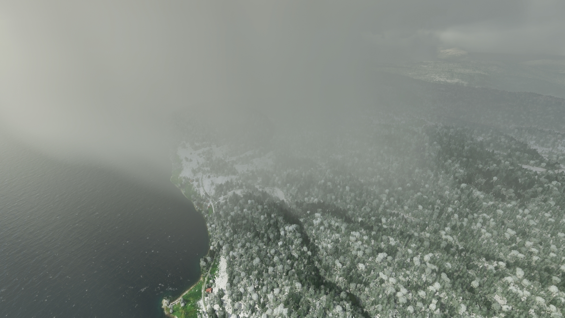
Fly to the north of Bardufoss Airport and then skirt the northern edge of the lake Andsvatnet. Pass just to the south of Reisafjorden, then fly out over Solbergfjorden and reach the southeastern corner of Senja. Senja is the fifth largest island in Norway by area (and the second largest when not including the islands of the Svalbard Archipelago), and its economy is based on fishing. Due to the Norwegian Current, an extension of the Gulf Stream, the island experiences a relatively mild climate for its northerly location.
Senja(SJA) to Andenes Lighthouse(POI12)
Distance: 37.47NM Bearing: 276° 18 minutes
Once at NDB Senja, set the aircraft’s NAV1 receiver to VOR/DME Andoya (AND), 112.20 MHz, and adjust course appropriately. Fly just to the north of Skatvikfjellet, a prominent peak in southern Senja, then pass over the Snikaren Inlet. Pass over Ånderdalen National Park, which was established to protect the unique environment of this part of Senja, including old-growth pine forests, fjords, and its interior mountains.
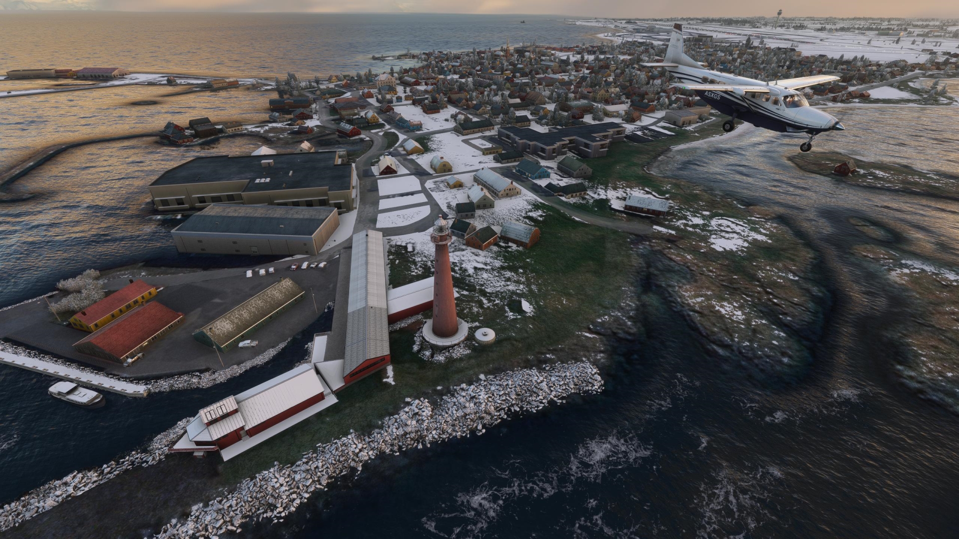
Fly out over Andfjorden, known as a feeding area for Sperm whales and orcas (killer whales). Gain a visual on the northern end of Andøya, a long, narrow island that is the northernmost island in the Vesterålen Archipelago. Sight the village of Andenes and the Andenes Lighthouse, which is located on the northwest corner of the settlement. The Andenes Lighthouse is constructed of cast iron on its exterior and bricks on its interior. At 130 feet, it is one of the tallest lighthouses in Norway.
Andenes Lighthouse(POI12) to Andoya Airport(ENAN)
Distance: 2NM Bearing: 154° 1 minutes
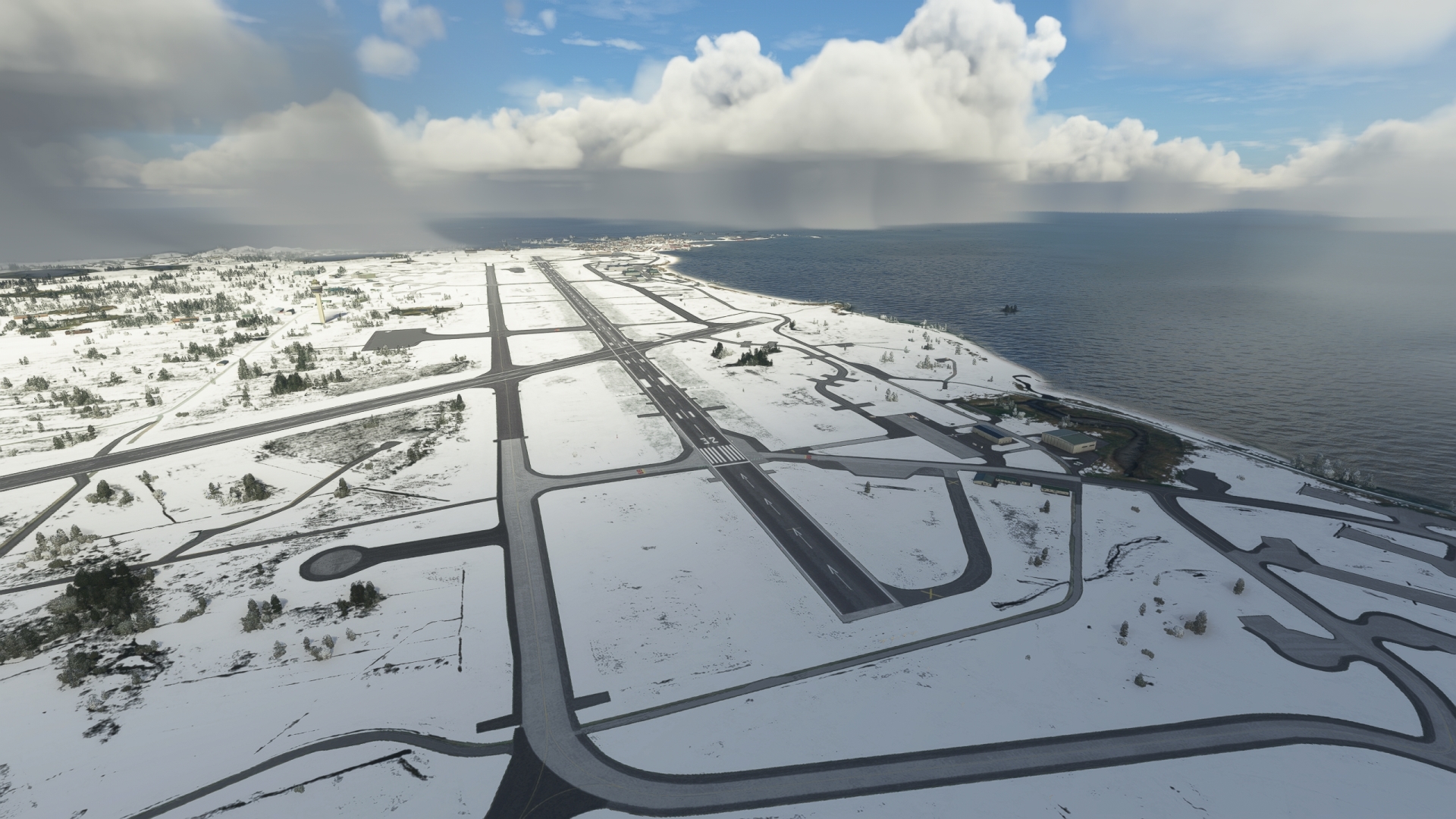
After Andenes lighthouse, turn on a southeasterly course and land at Andøya airport.
Leg 4
Andøya Airport to Rossvoll Airport
Leg Distance: 203.51 Approximate time at 125kts: 98 minutes.
Andoya Airport(ENAN) to Skagen(SKG)
Distance: 49.1NM Bearing: 201° 24 minutes
Lift off from Andøya Airport and set a course to the southwest. Set the aircraft’s NAV1 receiver to the VOR/DME Skagen (SKG), 112.80 MHz. Correct the aircraft’s course once receiving the signal from VOR/DME Skagen.
Fly to the southern tip of Andøya, then pass over Forfjorden to reach the island of Langøya. The island is geographically rich, with landscapes from bogs to bare rock mountains. Its climate, like that of much of this part of Norway, is moderated by the Norwegian Current, a warm water current that originates with the Gulf Stream current.
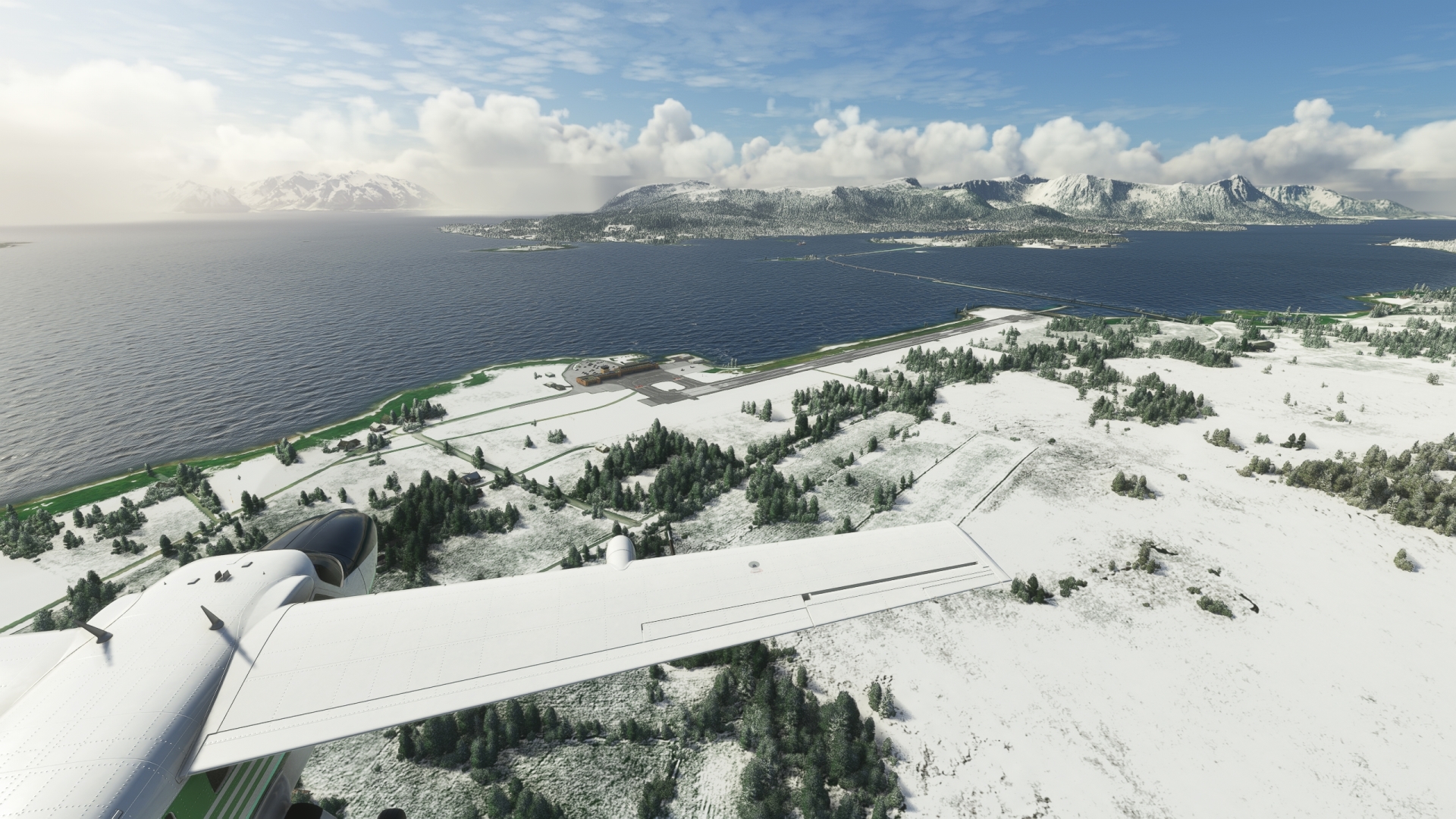
Fly past Stokmarknes Airport, near the southern end of Langøya. The VOR/DME Skagen is located at Stokmarknes Airport.
Skagen(SKG) to Skrova Lighthouse(POI13)
Distance: 26.92NM Bearing: 191° 13 minutes
After flying past Stokmarknes Airport and VOR/DME Skagen, set the heading of the aircraft’s NAV1 receiver to 192° and adjust course on the radial of VOR/DME Skagen. Fly past the eastern opening of the Langøysundet strait, then skirt the eastern coast of Hadseløya island and fly out over the Hadselfjord fjord. Cross the Hadselfjord fjord to reach the island of Austvågøy, part of the Lofoten Archipelago.
Austvågøy contains some of the most stunningly beautiful landscapes in the world, notably the mountains and fjords on its eastern side. Once across the Hadselfjord, skirt the eastern side of Sløverfjorden fjord and stunning views of the world renowned Trollfjord will come into view. The narrow Trollfjord is surrounded by soaring, vertical walls of rock.
Continue on course to the south, crossing over the waters of the Vestfjorden fjord. Pass to the east of Svolvær Airport, which lies on the shore of a small peninsula, then pass over a group of small islets that lie just to the west of the uninhabited, mountainous island of Litlmolla. Gain a visual on the island Skrova (also called Storskrova), which lies just to the south of Litlmolla. The Skrova Lighthouse is located on the tiny island of Saltværsøya directly to the southwest of the island of Skrova.
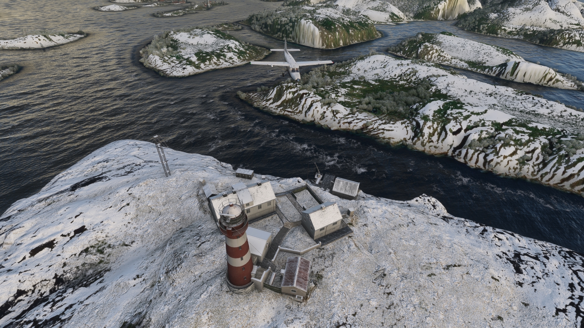
Skrova Lighthouse(POI13) to Bodo(BDO)
Distance: 53.61NM Bearing: 179° 26 minutes
Set a course of 180° M and set the frequency of the aircraft’s NAV1 receiver to 117.55 MHz for a course to the VOR/DME Bodø (BDO), which is located at Bodø Airport. Fly out over the open water of Vestfjorden from the Skrova Lighthouse. During the first portion of this flight, the signal of VOR/DME will come in range, allowing course adjustment.
Although called a fjord, Vestfjorden, which is 100 miles long and 50 miles wide, is better described as a bay due to its shape and expansiveness. It lies between the Lofoten Archipelago and mainland Norway and opens to the Norwegian Sea. Vestfjorden is incredibly rich in sea life, notably cod, which has been harvested since medieval times, orcas (killer whales), and humpback whales.
Fly past numerous small islands on the east side of Vestfjorden, then skirt the eastern shore of the mountainous island of Landegode. Gain a visual on Bodø, located on the southern tip of the Bodø Peninsula. The city, known as one of Norway’s educational centers, is located on the eastern opening of Vestfjorden.
VOR/DME Bodø is located at Bodø Airport, just south of town. While approaching Bodø Airport, adjust the aircraft’s ADF receiver for NDB Strommen (STM), 345,0 kHz. Fly over Bodø Airport and adjust heading based on the NDB Strommen signal.
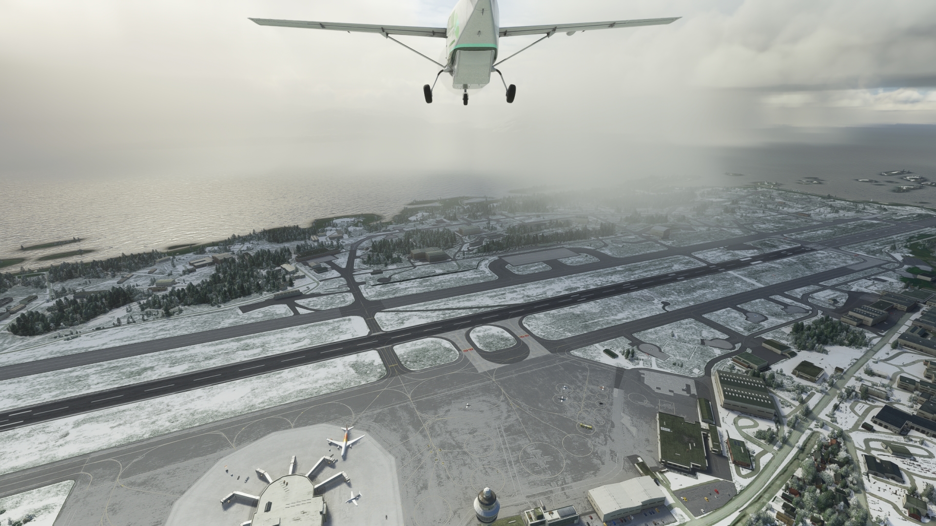
Bodo(BDO) to Strommen(STM)
Distance: 60.3NM Bearing: 186° 29 minutes
Maintaining course, cross out over Saltfjorden, which lies directly to the south of Bodø Airport, then fly down the midline of the narrow bay Beiarkjeften and continue down the Nordfjorden, which is connected to Beiarkjeften. Gain altitude for the mountains to come, some of which rise to more than 5,000 feet above sea level.
South of Nordfjorden, fly over increasingly mountainous terrain. Pass over the western portion of Láhko National Park, established to protect Norway’s largest alpine karst area. Continue on course, flying into the heart of Saltfjellet, one of Norway’s most expansive mountain ranges. Pass just to the west of Storglomvatnet, a horseshoe-shaped reservoir used for hydroelectric power generation. Fly over the western margin of Vestre Svartisen, the second largest glacier in mainland Norway at 85 square miles, and then pass over the Arctic Circle at the southern edge of the glacier and begin descending.
Gain a visual on the small village of Midtstraum, which lies on a tiny bay to the north of Ranfjorden fjord. NDB Strommen is located directly to the south of Midtstraum.
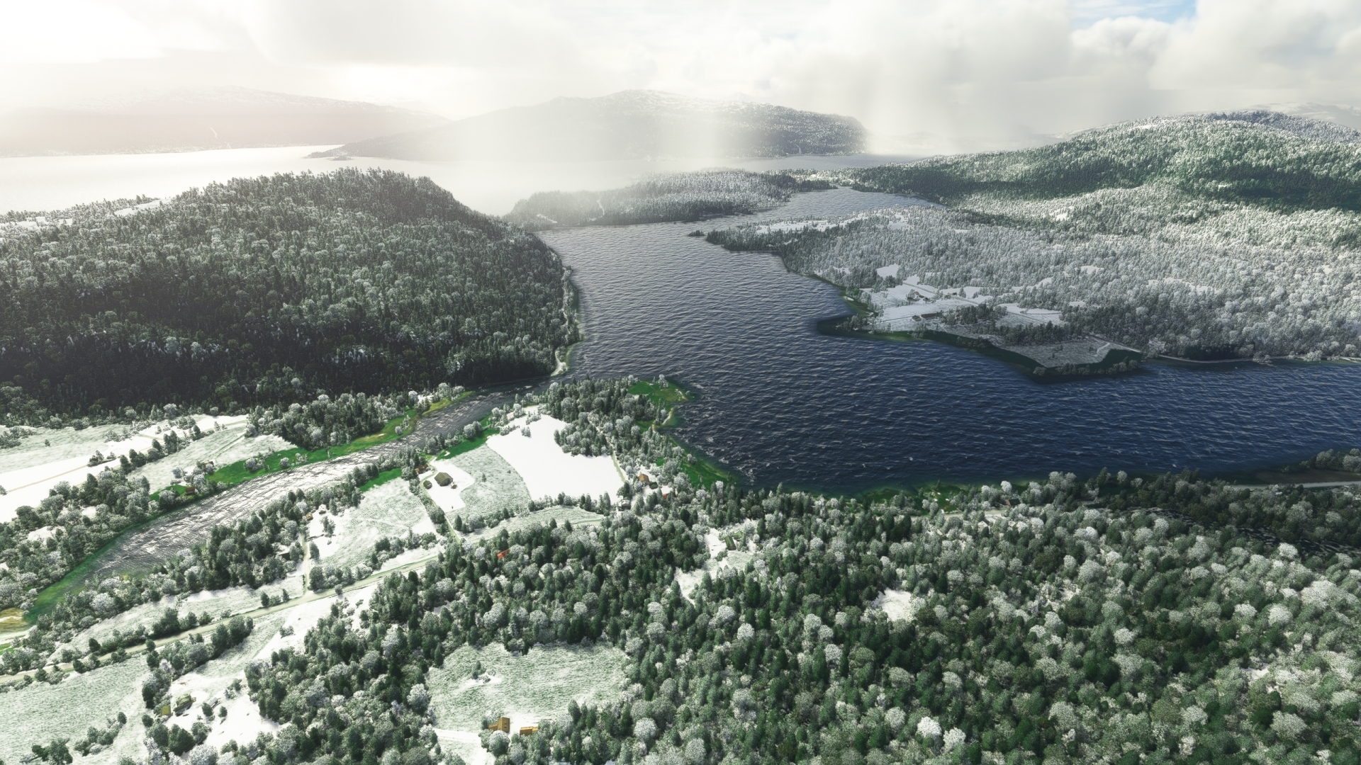
Strommen(STM) to Mo I Rana Airport(ENRA)
Distance: 13.58NM Bearing: 64° 7 minutes
From Midtstraum, gain a visual on the city of Mo i Rana, located at the head of Ranfjorden fjord. The airport lies five miles northeast of the city along the banks of the Langvassåga river in the village of Røssvoll. Fly east-northeast over the city of Mo i Rana, then follow the path of the Ranelva river and gain a visual on the confluence of the Ranelva and Langvassåga rivers to the northeast. Land to bring this journey from Spitsbergen to northern Norway to an end.
