Wales, one of the four countries in the United Kingdom, is located in on the southwestern aspect of the island of Great Britain. It is bounded on the north and west by the Irish Sea, on the south by the Bristol Channel of the Celtic Sea, and on the east by England. Wales has a rugged landscape of hills, mountains, deep valleys, and extensive coastlines. Its climate, strongly influenced by the warm Gulf Stream current of the Atlantic Ocean, is characterized by moderate temperatures throughout the year. Winters are wet, and weather can change quickly throughout the year, especially in higher elevation areas.
Two-thirds of the population of Wales lives in the southern portion of the country, with much of the land in the interior sparsely inhabited. Cardiff, the capital of Wales, is the country’s most populous city and its center of economic activity. Wales is known for its cultural heritage, including a distinct language and unique customs, art, and folklore.
This bush trip takes a grand tour of Wales, exploring the best of its coastlines, passing by its highest peaks, and visiting some of its largest cities, including Cardiff.
Total Legs: 4 Total Distance: 293 Total Time(125kts): 2 hours 20 minutes
Leg 1
Haverfordwest to Caernarfon
Leg Distance: 97.85 Approximate time at 125kts: 47 minutes.
Haverfordwest(EGFE) to Llys-y-fran Reservoir(POI1)
Distance: 4.94NM Bearing: 53° 2 minutes
After departing Haverfordwest Airport, set a course to the northeast and gain a visual on Llys-y-frân Reservoir. The reservoir was formed with a dam on the River Syfynwy at the base of the Preseli Hills.

Llys-y-fran Reservoir(POI1) to Cardigan(POI2)
Distance: 13.85NM Bearing: 32° 7 minutes
Over the reservoir, set a course to the northeast and pass over the Preseli Hills, then gain a visual on the A487 motorway. Follow the A487 to the city of Cardigan, located on the banks of River Teifi. Cardigan was built around a Norman castle originally constructed in the eleventh century.
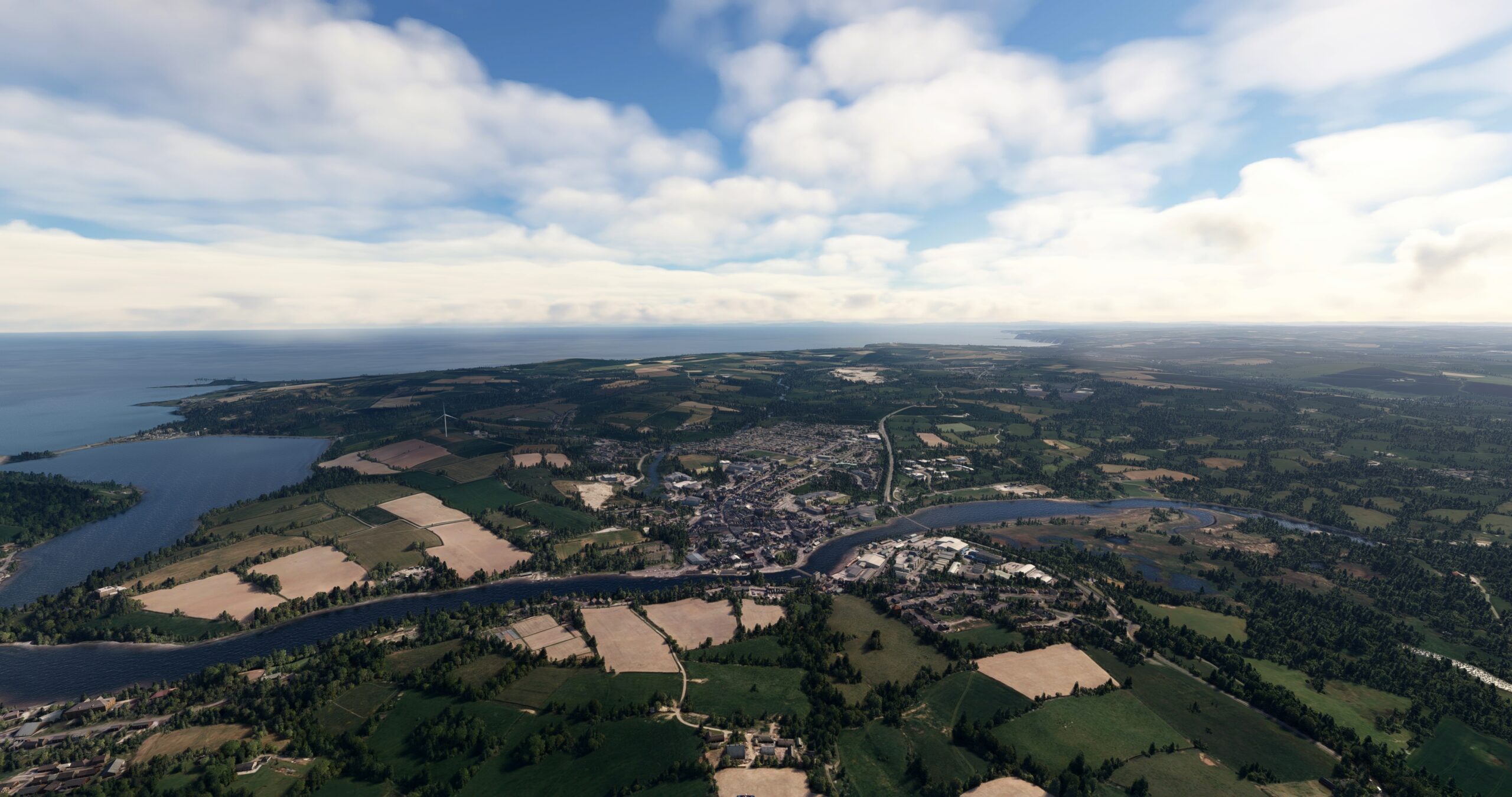
Cardigan(POI2) to Llanarth(POI3)
Distance: 14.72NM Bearing: 63° 7 minutes
Follow the A487 motorway to the north-northeast to the village of Llanarth, located just inland of the Irish Sea.
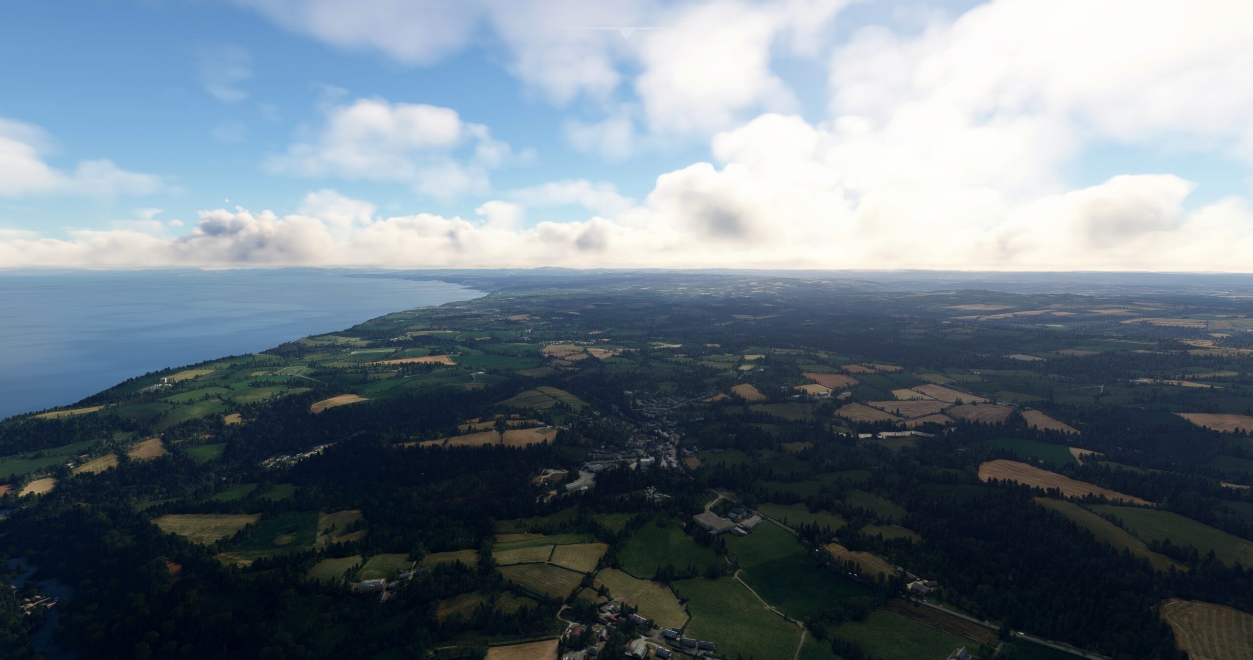
Llanarth(POI3) to Aberystwyth(POI4)
Distance: 14.98NM Bearing: 35° 7 minutes
Follow the coastline to the northeast to the town of Aberystwyth. The town is located where the River Ystwyth meets the Cardigan Bay of the Irish Sea. The town is home to Aberystwyth University, a founding component of the University of Wales.
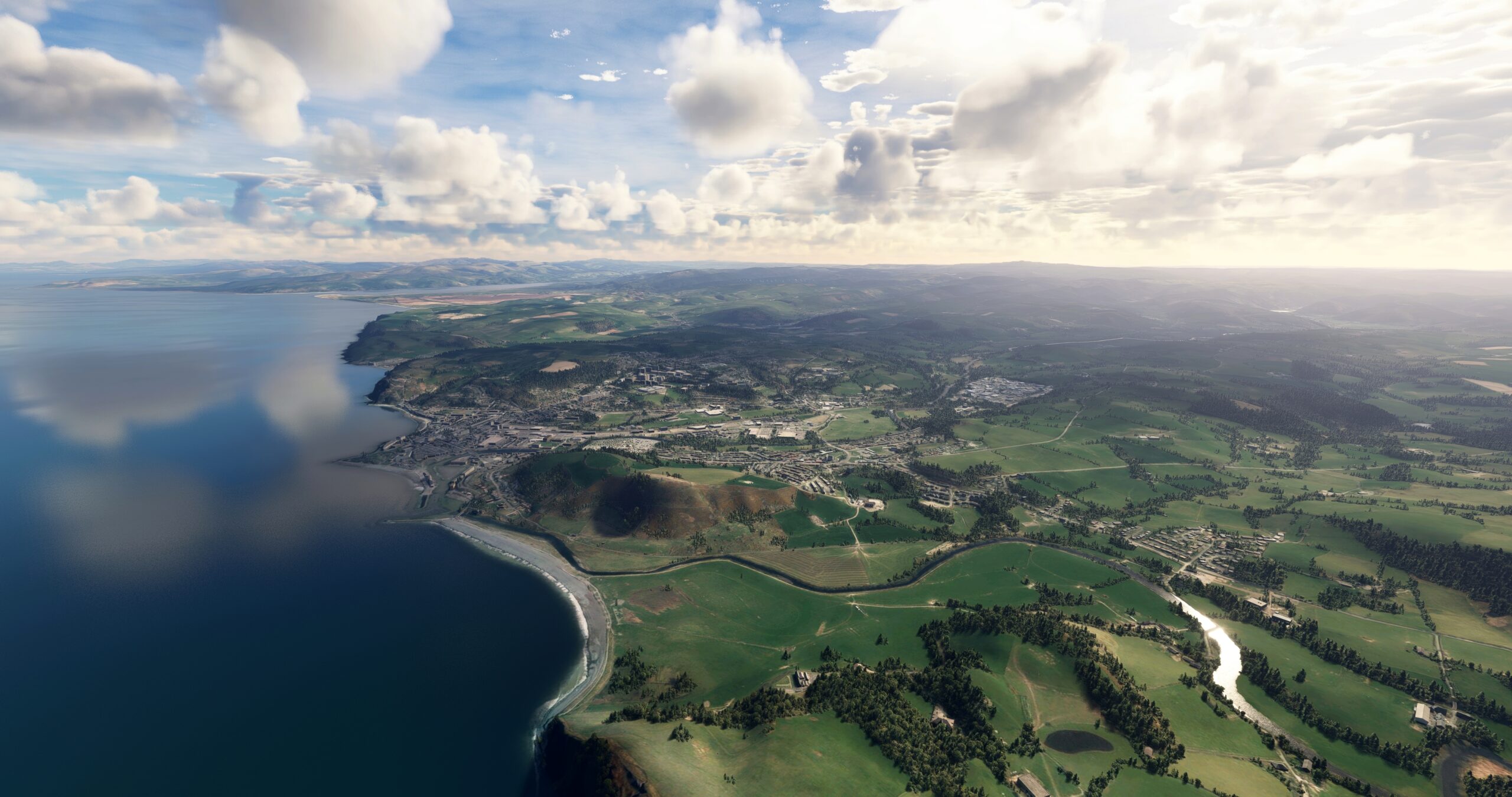
Aberystwyth(POI4) to Machynlleth(POI5)
Distance: 13.88NM Bearing: 36° 7 minutes
Track the A487 motorway to the town of Machynlleth, located along the Dyfi River.
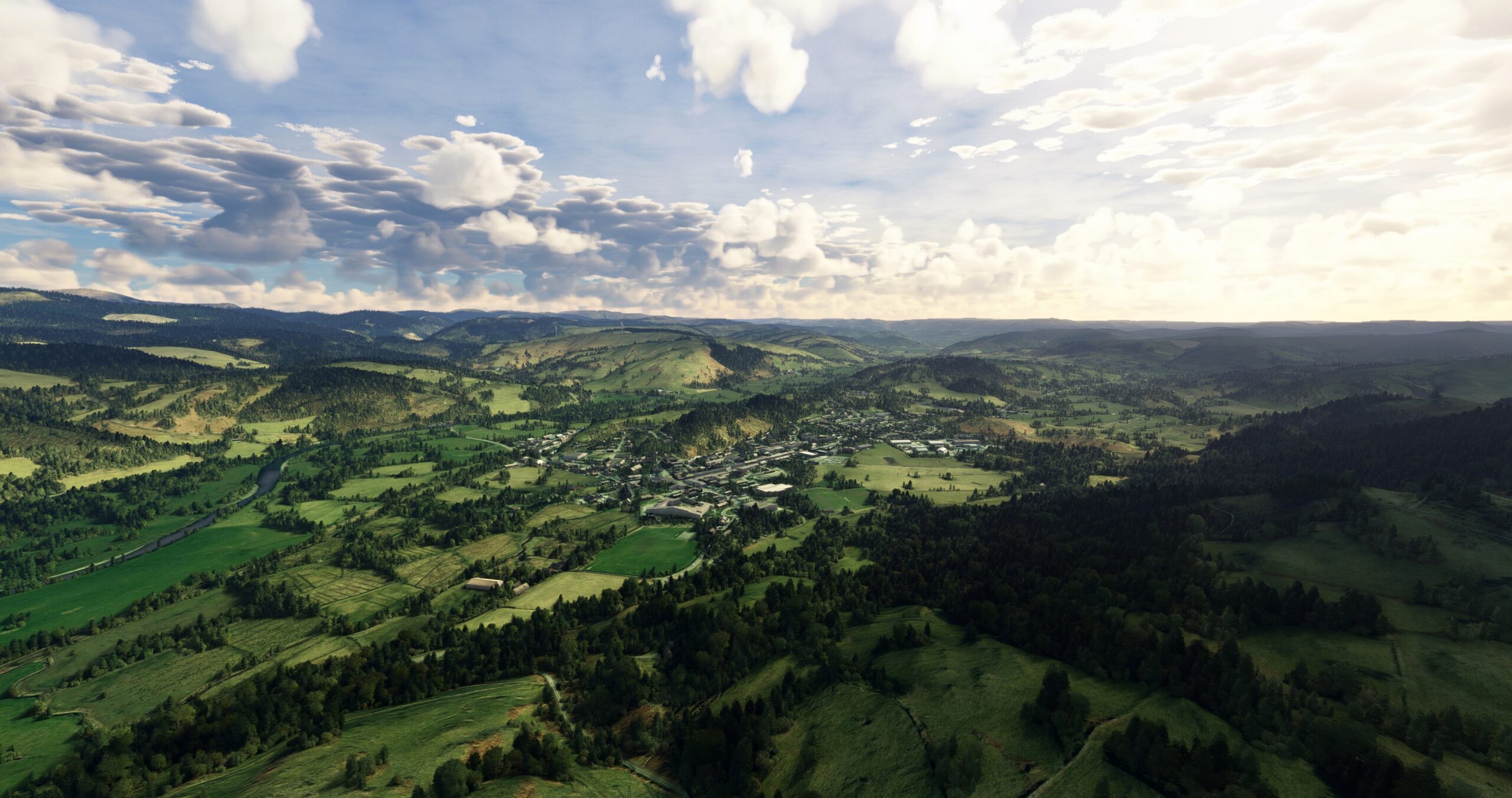
Machynlleth(POI5) to Caernarfon(EGCK)
Distance: 35.48NM Bearing: 331° 17 minutes
At Machynlleth, turn onto a north-northwest course and follow the coastline, remaining inland. Pass the town of Porthmadog, located on the north side of the River Dwyryd Estuary. Follow the A487 motorway to the village of Penygroes and gain a visual on Caernarfon Airport (EGCK), located to the north-northwest of the village, and land.

Leg 2
Caernarfon to Hawarden
Leg Distance: 68.87 Approximate time at 125kts: 33 minutes.
Caernarfon(EGCK) to Caernarfon(POI6)
Distance: 3.14NM Bearing: 45° 2 minutes
After departing Caernarfon Airport, set a course to the northeast and track the eastern shore of the Menai Strait to Caernarfon, home of Caernarfon Castle, a massive fortress first built in the eleventh century.

Caernarfon(POI6) to Menai Strait(POI7)
Distance: 8.34NM Bearing: 44° 4 minutes
Continue following the eastern shore of the Menai Strait to a location just to the northeast of the city of Bangor. The Menai Strait skirts the Snowdonia region, which comprises several mountain ranges including the Glyderau and Carneddau ranges. The region contains the highest mountain in Wales, Snowdon, 3,560 feet above sea level.

Menai Strait(POI7) to Colwyn Bay(POI8)
Distance: 14.29NM Bearing: 77° 7 minutes
Continue following the eastern side of the Menai Strait, passing the seaside village of Llanfairfechan. Pass over River Conwy to reach Colwyn Bay, a town on the shore of the Irish Sea.

Colwyn Bay(POI8) to Talacre Beach(POI9)
Distance: 14.47NM Bearing: 76° 7 minutes
Follow the coastline to the east-northeast, passing the towns of Abergele, Rhyl, and Prestatyn to reach Talacre Beach. Talacre Beach is known for its expanses of sand and its lighthouse.
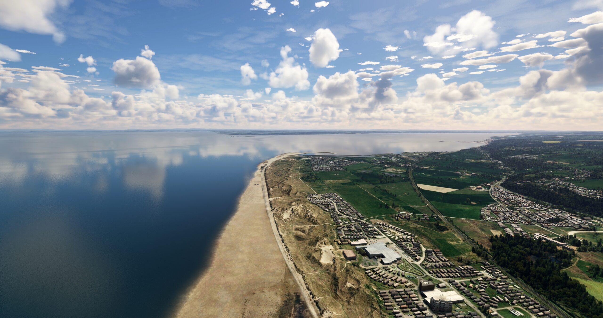
Talacre Beach(POI9) to Clwydian Range(POI10)
Distance: 17.37NM Bearing: 168° 8 minutes
Turn to the south at Talacre Beach and pass into the Clwydian Range of mountains. Moel Famau, 1,818 feet above sea level, is the highest point in the Clwydian Range.
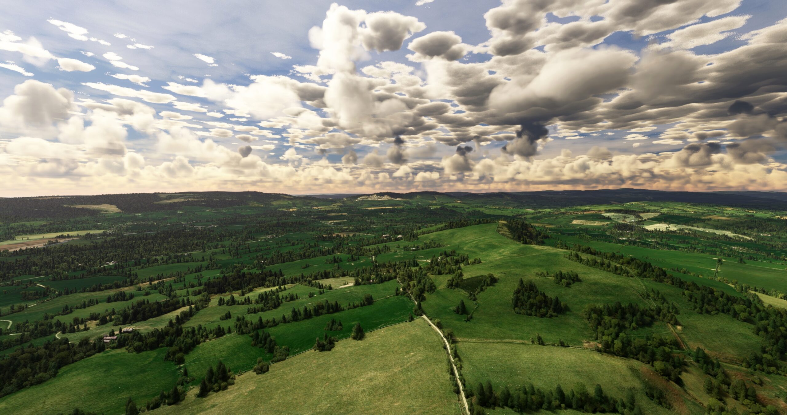
Clwydian Range(POI10) to Hawarden(EGNR)
Distance: 11.26NM Bearing: 56° 5 minutes
At the southern end of the range, with an intersection of motorways in sight, turn to the east-northeast, just north of the intersection. Gain a visual on River Dee and the city of Chester. Land at Hawarden Airport (EGNR), located just to the west of Chester and the River Dee.

Leg 3
Hawarden to Welshpool
Leg Distance: 33.76 Approximate time at 125kts: 16 minutes.
Hawarden(EGNR) to Wrexham(POI11)
Distance: 7.95NM Bearing: 184° 4 minutes
Lift off from Hawarden Airport and gain a visual on the city of Wrexham to the south. Skirt the border with England and traverse the edge of the Clwydian Range to reach Wrexham. The city is known for its architecture, notably St Giles’ Church, built in the sixteenth century.
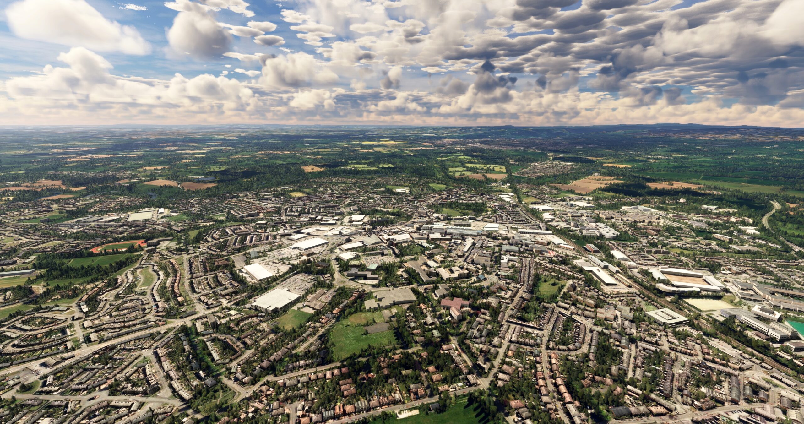
Wrexham(POI11) to Chirk(CHIRK)
Distance: 6.85NM Bearing: 200° 3 minutes
From Wrexham, follow the A483 motorway to the south to its intersection with the A5 motorway and the town of Chirk.
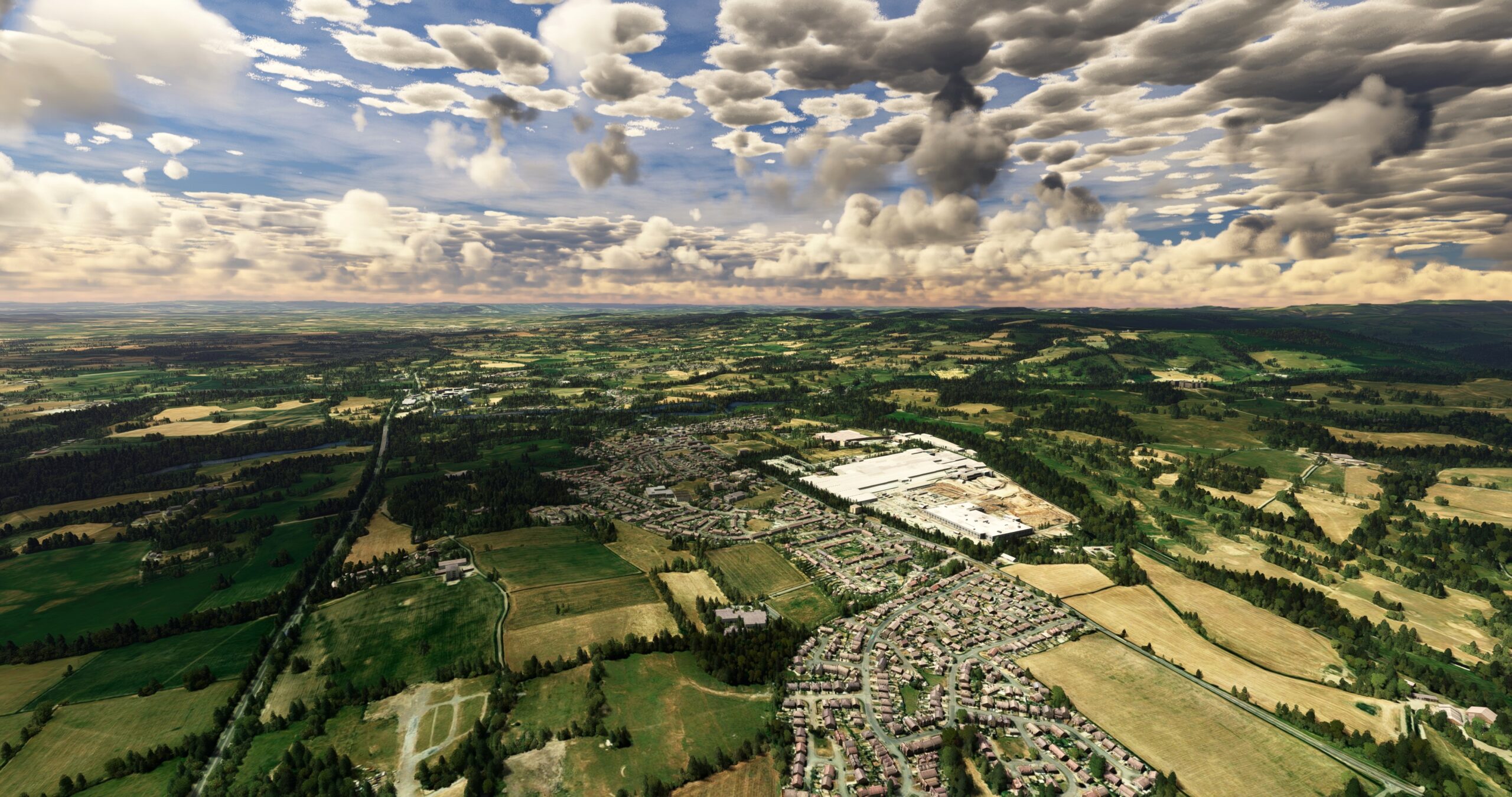
Chirk(CHIRK) to Welshpool(POI12)
Distance: 17.05NM Bearing: 190° 8 minutes
Continue on course, tracking the A483 motorway, to the town of Welshpool.
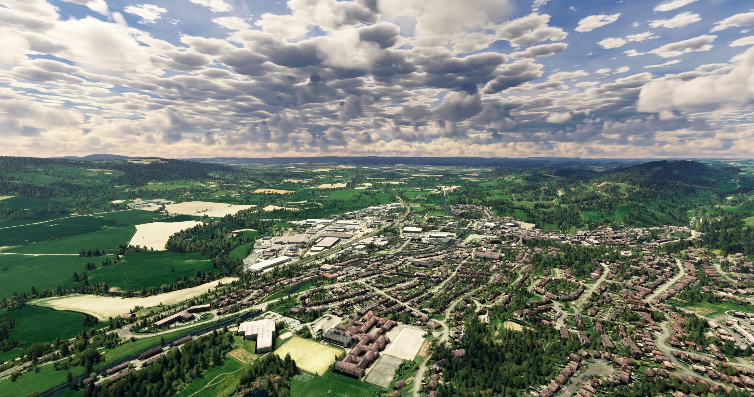
Welshpool(POI12) to Welshpool(EGCW)
Distance: 1.91NM Bearing: 195° 1 minutes
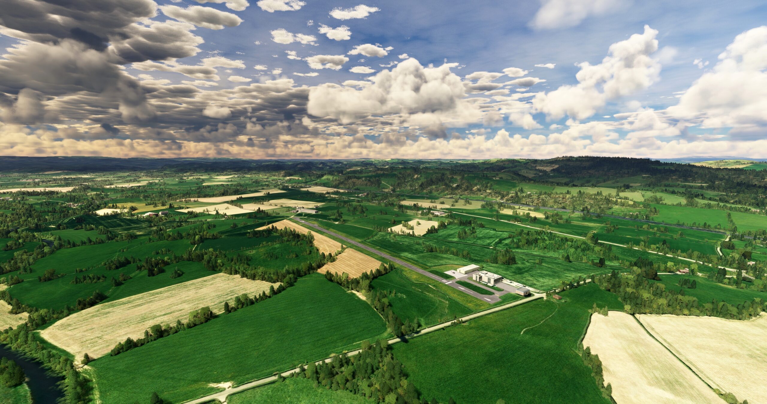
Land at Welshpool Airport (EGCW), located just to the south-southwest of Welshpool.
Leg 4
Welshpool to Cardiff
Leg Distance: 92.95 Approximate time at 125kts: 45 minutes.
Welshpool(EGCW) to Newtown(POI13)
Distance: 9.21NM Bearing: 221° 4 minutes
Follow the River Severn and the A483 motorway to Newtown.
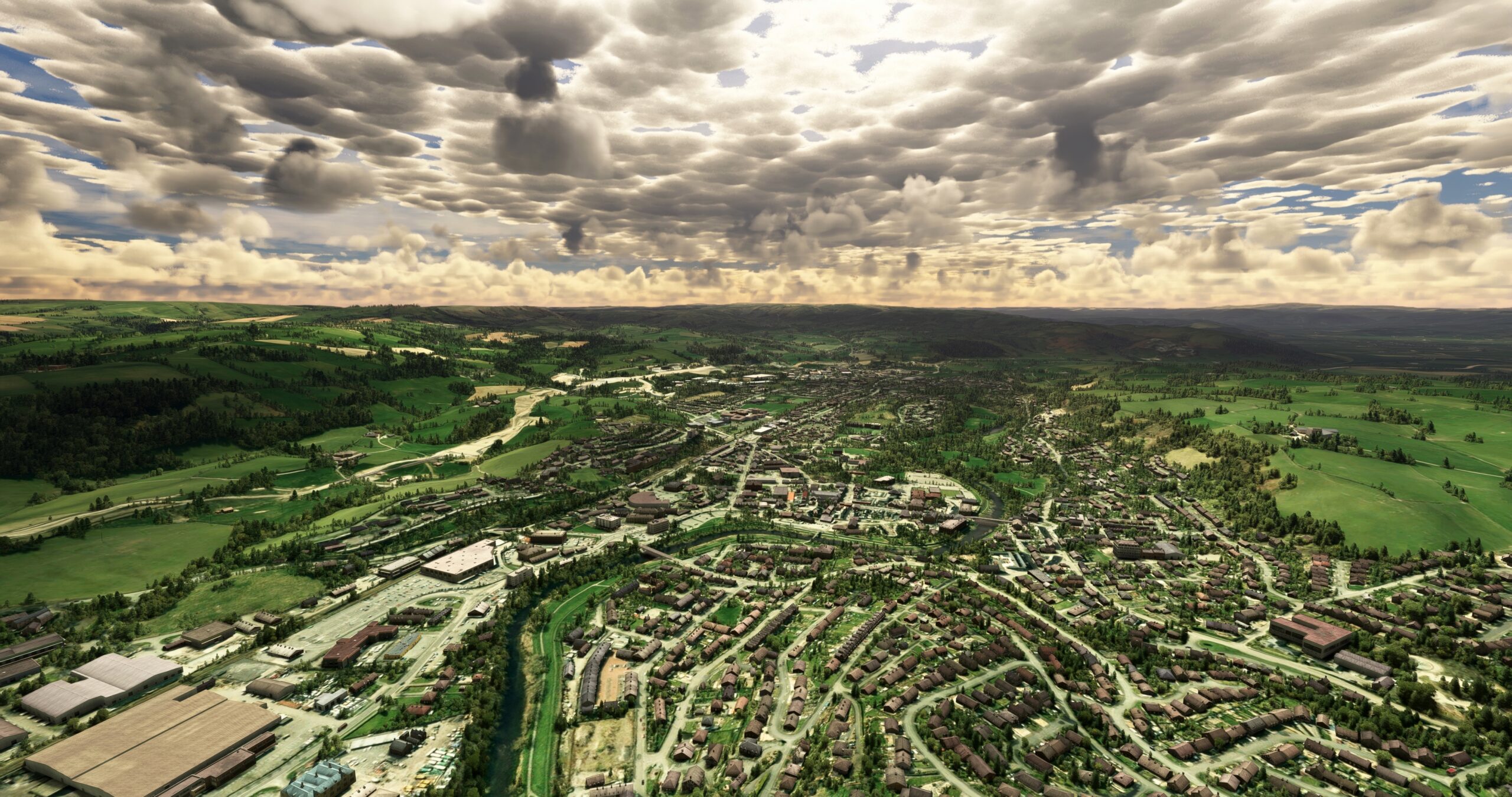
Newtown(POI13) to Llandrindod Wells(POI14)
Distance: 16.22NM Bearing: 188° 8 minutes
From Newtown, follow the general course of the A483 motorway to the south. Pass the intersection of A483 and A44, then fly over Llandrindod Wells. Llandrindod Wells grew in the eighteenth century as a spa destination due to the purported healing powers of local spring water.

Llandrindod Wells(POI14) to Builth Wells(POI15)
Distance: 5.8NM Bearing: 190° 3 minutes
Continue on course, following the A483 motorway, to the town of Builth Wells. The town lies at the juncture of several highways and the confluence of River Wye and River Irfon.
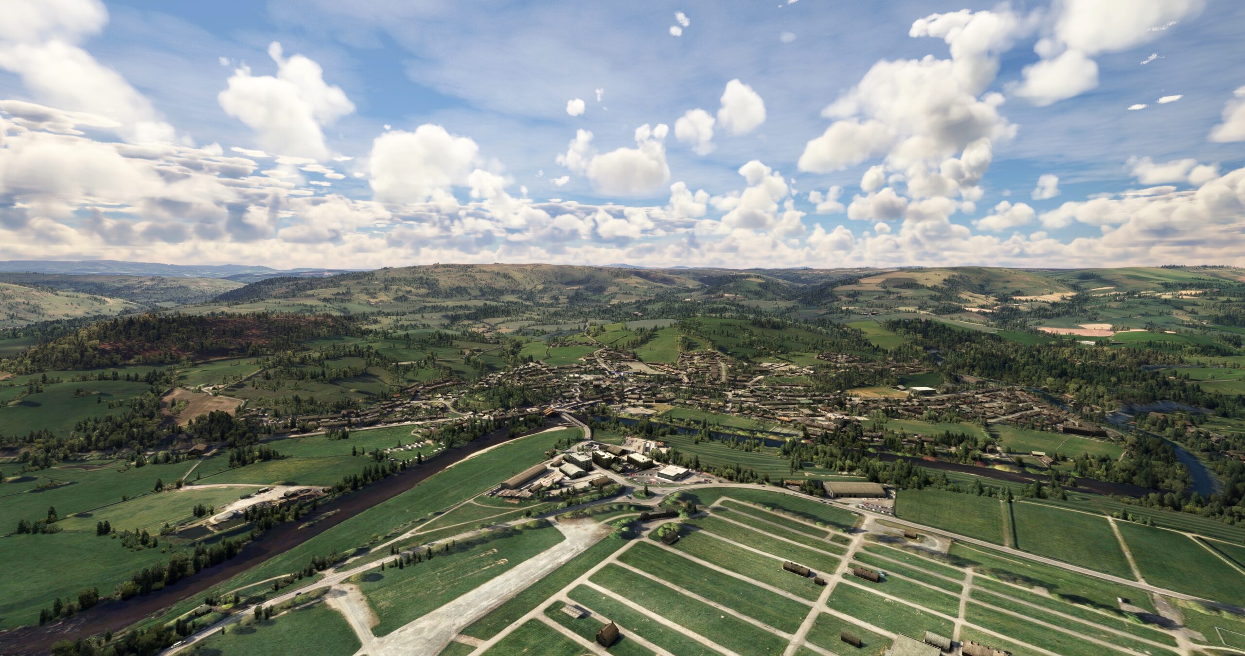
Builth Wells(POI15) to Bannau Brycheiniog National Park(POI16)
Distance: 15.81NM Bearing: 179° 8 minutes
From Builth Wells, head due south and gain a visual on the town of Brecon, located near the intersection of several motorways. Pass over Brecon and then fly over Bannau Brycheiniog National Park, which protects the Brecon Beacons mountain range.
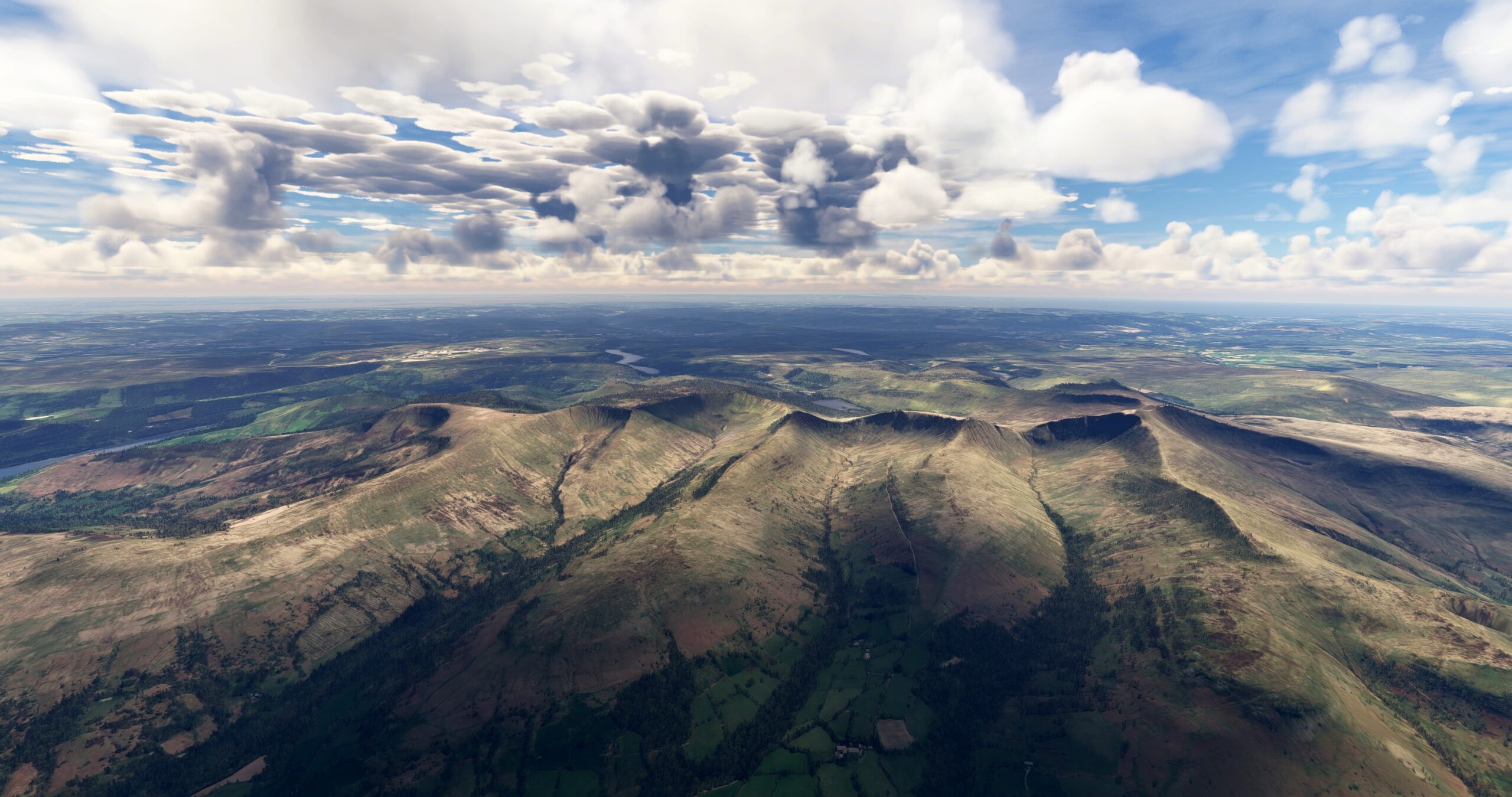
Bannau Brycheiniog National Park(POI16) to Abergavenny(POI17)
Distance: 14.25NM Bearing: 105° 7 minutes
Over the Brecon Beacons, locate the Talybont Reservoir, which lies on the east side of the range. Pass over the reservoir and gain a visual on the town of Abergavenny to the south-southeast of the reservoir.

Abergavenny(POI17) to Newport(POI18)
Distance: 14.4NM Bearing: 176° 7 minutes
Head due south from Abergavenny and sight the Severn Estuary and the Bristol Channel. Pass over the city of Newport, located along the River Usk just north of its confluence with the Severn Estuary. Newport is the third most populous city in Wales and has been an important port since medieval times.
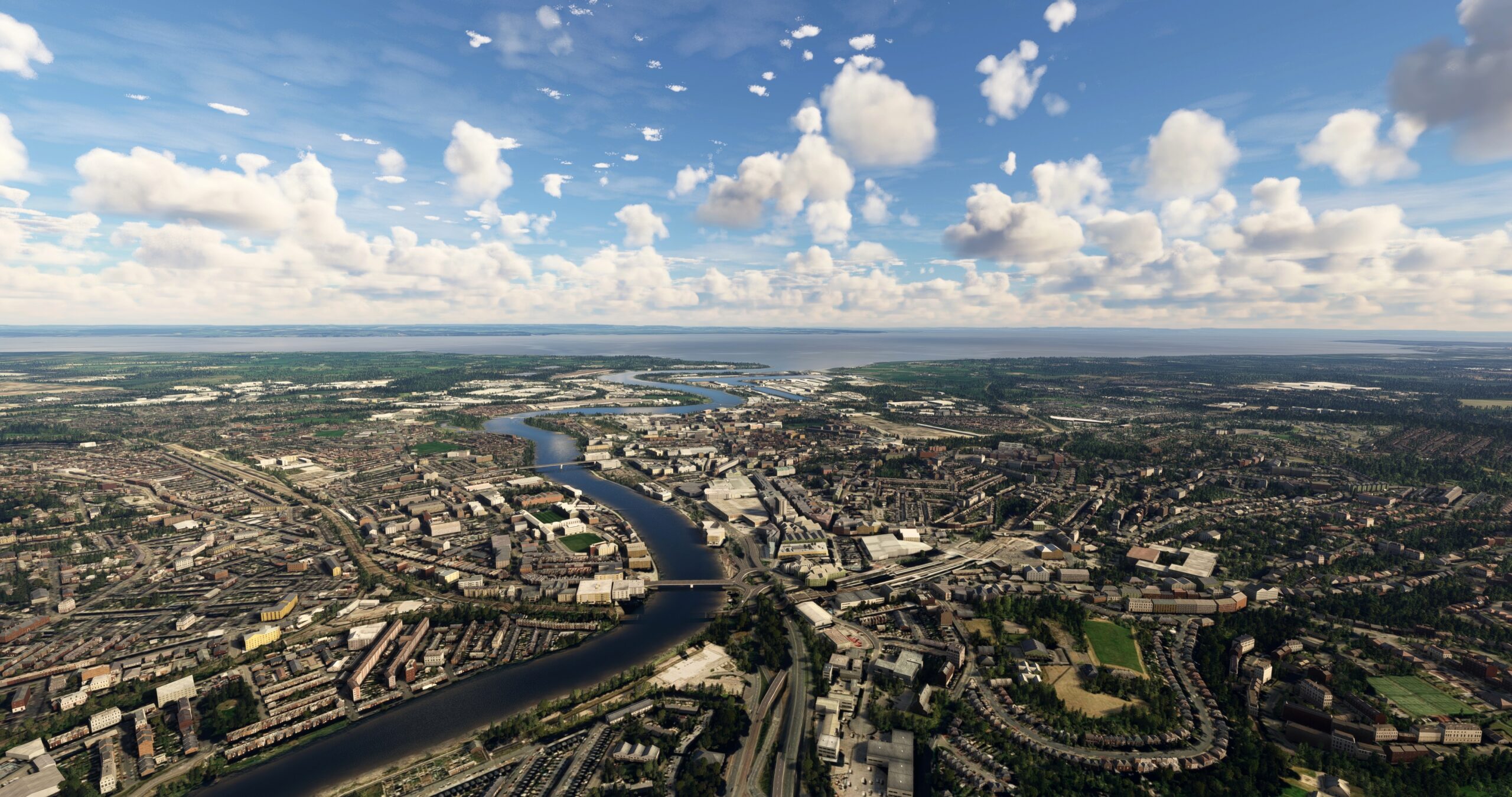
Newport(POI18) to Cardiff(POI19)
Distance: 9.56NM Bearing: 227° 5 minutes
At Newport, set a heading to the southwest and track the coastline, remaining just inland, to reach Cardiff. Cardiff, the national capital of Wales, is home to several national treasures, including Cardiff Tower, the Welsh National War Memorial, and the Wales Millennium Center.
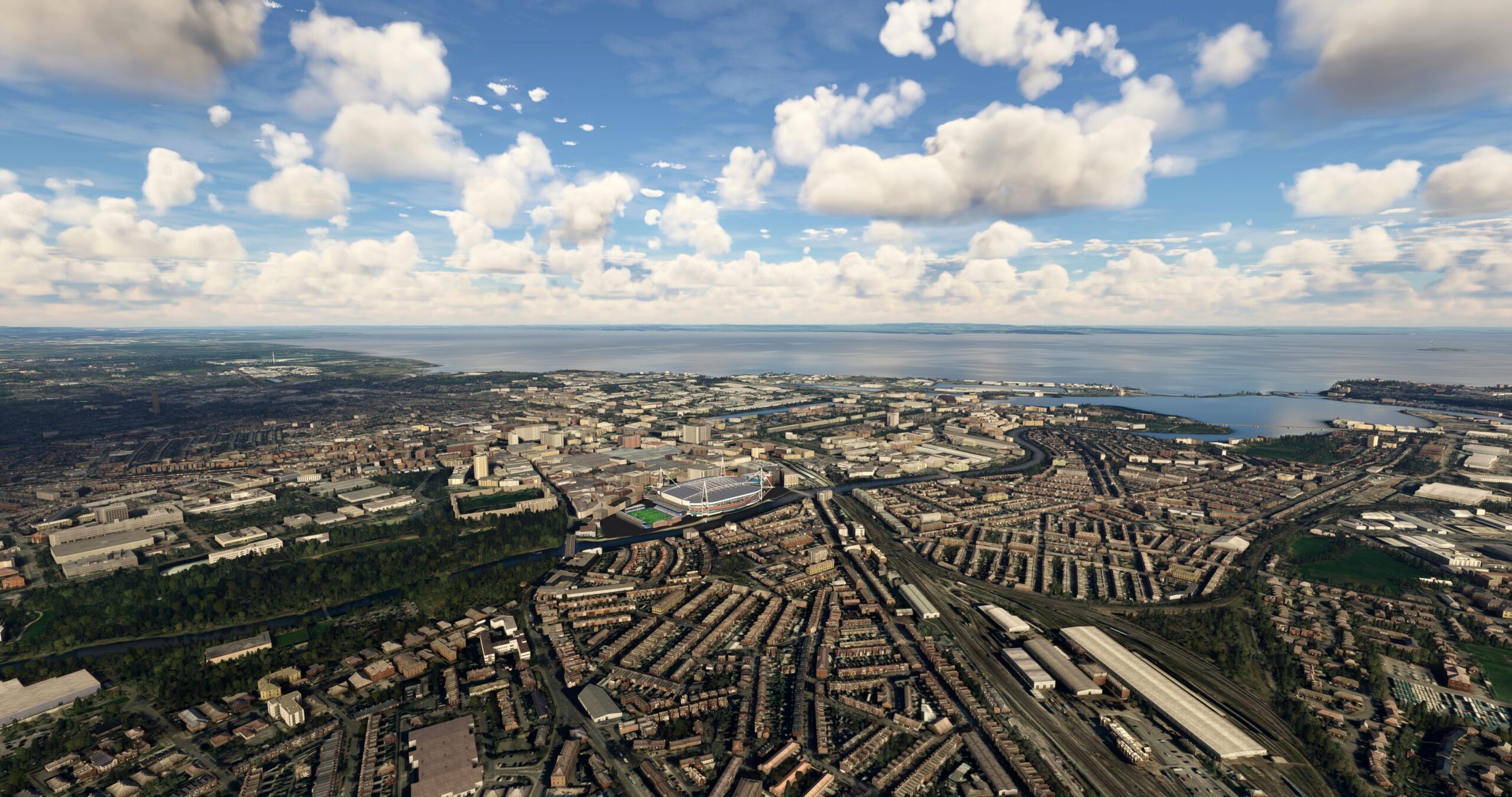
Cardiff(POI19) to Cardiff(EGFF)
Distance: 7.7NM Bearing: 231° 4 minutes
Continue on course to the southwest and land at Cardiff Airport (EGFF).

