Germany’s coasts and the Rhine
Germany’s coasts and the Rhine is the first in a series of three bush trips that celebrates the beauty, grandeur, and history of Germany, Austria, and Switzerland, together known as DACH (Deutschland, Austria, Confederation Helvetia). This route explores the country’s Baltic and North Sea coastlines and then strikes south, following the Rhine river corridor to the border of Switzerland at Lake Constance.
The journey weaves a path that visits some of Germany’s most renowned and spectacular sights, both natural and human made. Pilots will visit Rügen, Germany’s largest island, the Black Forest, and several cities teeming with history and culture, including Frankfurt, Düsseldorf, and Heidelberg. Many of the locations are noteworthy in the history of aviation.
The trip was carefully tailored for the CubCrafters NXCub to maximize both flight experience and breathtaking sights throughout this diverse journey and the two that follow.
Flight instructions:
Weather, date, and time can be adjusted for pilot preference.
Several other options have been unlocked to optimize the flight experience.
Set the NXCub to "cold and dark" after each landing to complete the leg.
ATC is available if you would like to use it.
Total Legs: 23 Total Distance: 1137 Total Time(125kts): 9 hours 5 minutes
Leg 1
Tutow to Heringsdorf
Leg Distance: 33.96 Approximate time at 125kts: 16 minutes.
Tutow(EDUW) to Jarmen(POI1)
Distance: 4.25NM Bearing: 83° 2 minutes
Lift off in the XCub at Tutow Airfield (EDUW) and follow the River Peene to the east. The region is home to a Bronze Age settlement that dates to 830 BC and was subsequently settled by the Slavs. The area became a center of agriculture and trade beginning in the 1800s.

Jarmen(POI1) to Anklam(POI2)
Distance: 13.24NM Bearing: 105° 6 minutes
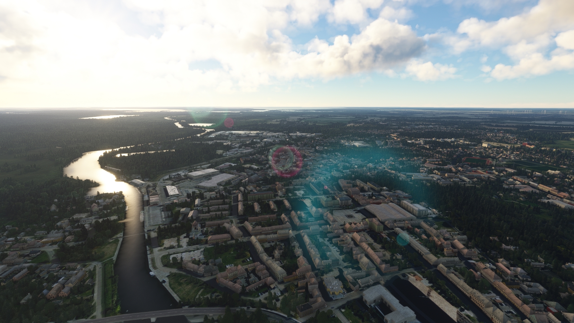
Follow the Peene, which flows into the Baltic Sea, to the town of Anklam. Anklam is the birthplace of Karl Wilhelm Otto Lilienthal, the first person to make documented glider flights. His work provided both a technical basis and inspiration for other aviation pioneers, including the Wright Brothers.
Anklam(POI2) to Heringsdorf(EDAH)
Distance: 16.47NM Bearing: 78° 8 minutes
Continue tracking the Peene and pass over the Zecherin bridge to reach the island of Usedom. Follow the island’s southern shore to reach Heringsdorf Airport (EDAH).
Heringsdorf Regional Airport is one of the oldest German air destinations and was the second oldest airport on the territory of the German Democratic Republic (East Germany).

Leg 2
Heringsdorf to Peenemunde
Leg Distance: 24.26 Approximate time at 125kts: 12 minutes.
Heringsdorf(EDAH) to Ahlbeck(POI3)
Distance: 4.29NM Bearing: 11° 2 minutes
Take-off from Heringsdorf Airport and set a course to the north-northeast and pass over Wolgastsee to reach the village of Ahlbeck. Located on the shore of the Baltic Sea near the Polish border, Ahlbeck is a renowned seaside resort.

Ahlbeck(POI3) to Zempin(POI4)
Distance: 10.34NM Bearing: 308° 5 minutes
Turn to the northwest over Ahlbeck and follow the beach to the town of Zempin, a small seaside resort town located on the isthmus of the island of Usedom.

Zempin(POI4) to Peenemunde(POI5)
Distance: 8.38NM Bearing: 296° 4 minutes
Continue on course, following the shoreline, and then cut across the northwestern extremity of the island of Usedom. Gain a visual on the Peene River and the city of Peenemünde, located due south of Peenemünde Airport.
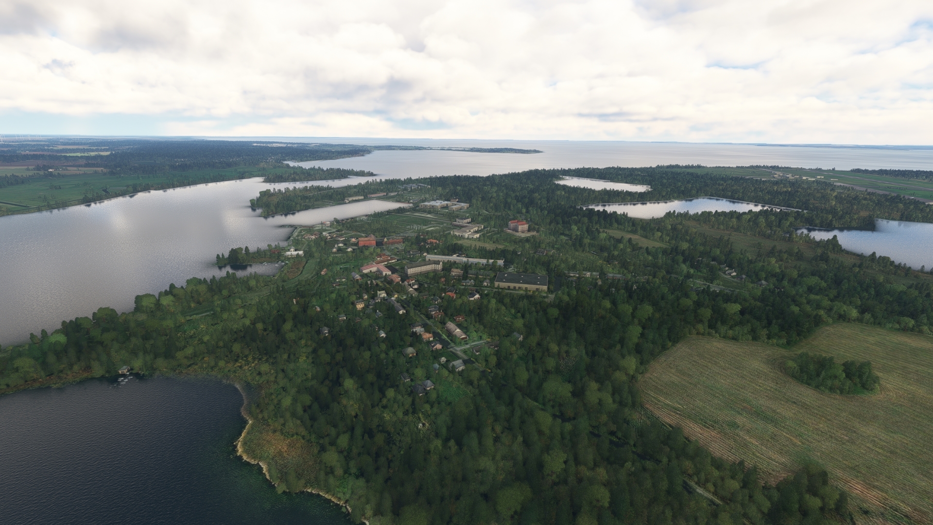
Peenemünde is one of the most important locations in the history of space travel. During the 1930s and 1940s, German aerospace engineer Wernher von Braun led the development of several rockets of the “Aggregat series.” This included the Aggregat 4, or A-4. Weaponized during World War II, the A-4 was called the Vergeltungswaffe 2, (Payback Weapon 2, or V-2). On June 20, 1944, an A4 was launched from Peenemünde Army Research Center to an altitude of 109 miles, making it the first human-made object to reach space. The rocket design was subsequently used by both the Americans and Soviets for their respective missile, rocket, and space programs.
Peenemunde(POI5) to Peenemunde(EDCP)
Distance: 1.25NM Bearing: 359° 1 minutes
Land at Peeneünde Airfield (EDCP), located due north of Peenemünde. The facility traces its history to the mid 1930s and was subsequently used for the German missile and rocket program.

Leg 3
Peenemunde to Rugen
Leg Distance: 68.74 Approximate time at 125kts: 33 minutes.
Peenemunde(EDCP) to Sellin(POI6)
Distance: 13.27NM Bearing: 344° 6 minutes
Lift off from Peeneünde Airfield and set a course to the north-northwest, passing over the juncture of Greifswalder Bodden (Bay of Greifswald) and the Baltic Sea. Sight the southeastern extremity of Rügen, Germany’s largest island. Skirt the shoreline of the Baltic Sea to reach the resort town of Sellin, recognizable by its long pier.

Sellin(POI6) to KdF Prora(POI7)
Distance: 5.73NM Bearing: 304° 3 minutes
Continue following the shoreline from Sellin to KdF Prora (“KdF = Kraft durch Freude” Translates – power through joy”), a planned resort complex built by the Nazi government in the late 1930s and subsequently used during the Cold War for military purposes. Today it is a heritage center and a resort.

KdF Prora(POI7) to Mukran Ferry and Industrial Port(POI8)
Distance: 2.81NM Bearing: 4° 1 minutes
Flying northward along the coast, come to the Mukran Ferry and Industrial Port, the easternmost deep-water port in Germany and the nation’s third busiest Baltic Sea port. Located adjacent to the city of Sassnitz, the port services ferry lines that connect with Sweden, Denmark, Lithuania, and Russia.

Mukran Ferry and Industrial Port(POI8) to Sassnitz(POI9)
Distance: 2.52NM Bearing: 37° 1 minutes
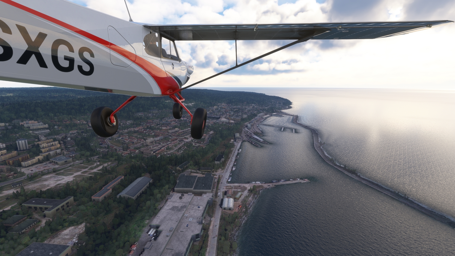
Follow the coastline to the town of The town of Sassnitz, northeast of the Mukran Ferry and Industrial Port. Sassnitz began as a small fishing village and grew in the late 1800s due to the construction of a large harbor and railroad connection.
Sassnitz(POI9) to Jasmund National Park(POI10)
Distance: 3.62NM Bearing: 10° 2 minutes
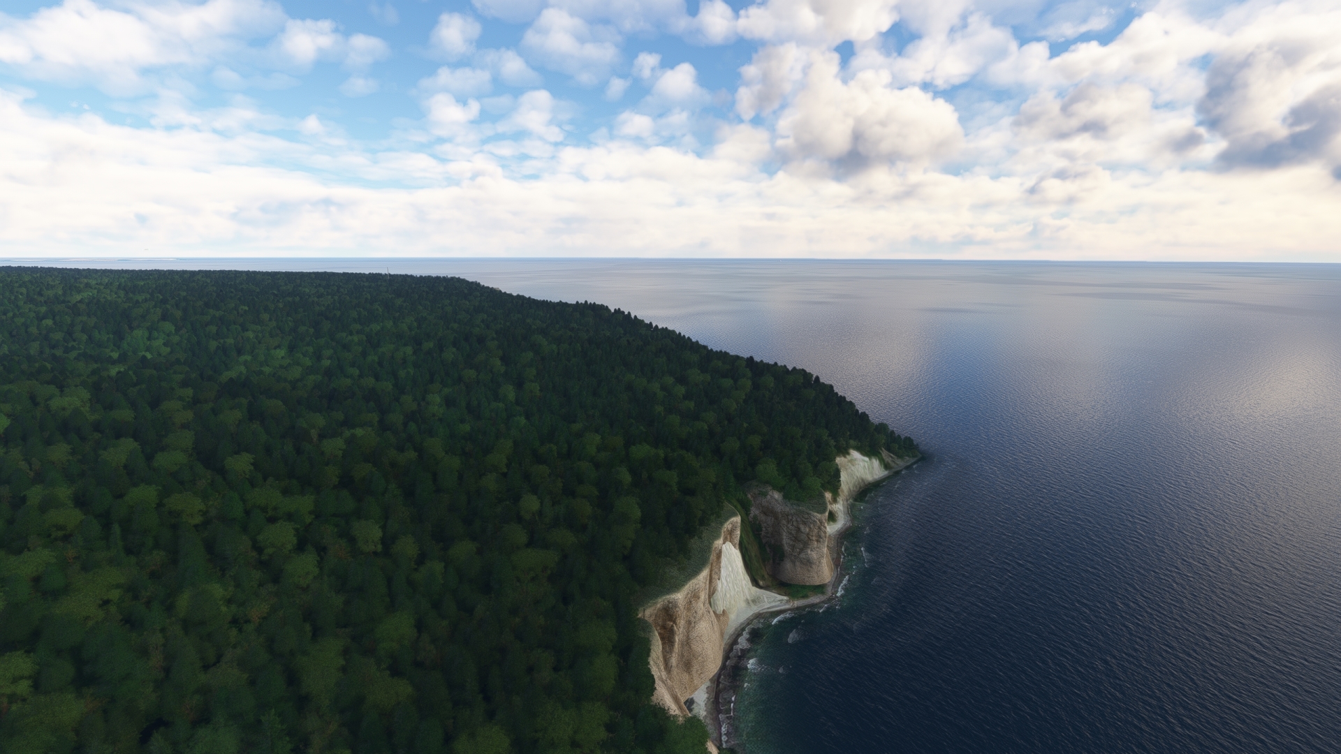
Continue to the north along the coast from Sassnitz to explore Jasmund National Park. The smallest national park in Germany, Jasmund National Park protects the most expansive chalk cliffs in the country and beech forests just inland of the shore.
Jasmund National Park(POI10) to Cape Arkona(POI11)
Distance: 10.67NM Bearing: 304° 5 minutes
Turn a course of 305° M and pass out over the Tromper Wiek, a wide bay that opens to the Baltic Sea. Gain a visual on Cape Arkona, the northernmost point of Rügen, and set a course toward it. The cape has been used for centuries for several purposes, including a Slavic temple built in the 6th century, observation towers, radio antennas, and lighthouses.
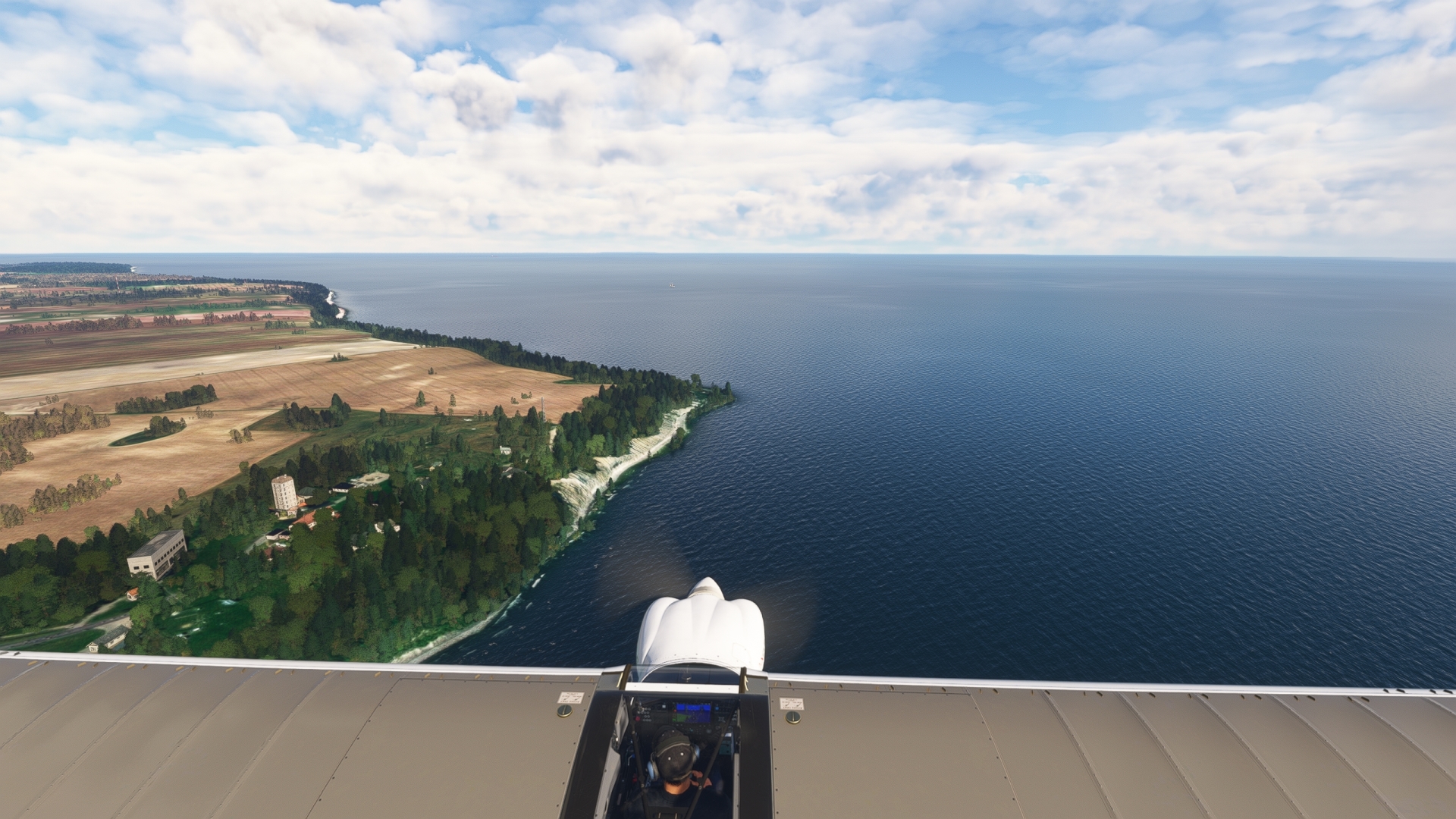
Cape Arkona(POI11) to Dranske(POI12)
Distance: 7.65NM Bearing: 240° 4 minutes
At Cape Arkona, turn onto a course to the southwest and follow the north coast to the Wittow headland and the fishing village of Dranske.

Dranske(POI12) to Hiddensee Island(POI13)
Distance: 8.5NM Bearing: 212° 4 minutes
Pass over Libben Bay, to the southwest of Dranske, to reach the long, low Hiddensee Island. Inaccessible by land, Hiddensee is home to several important conservation areas.
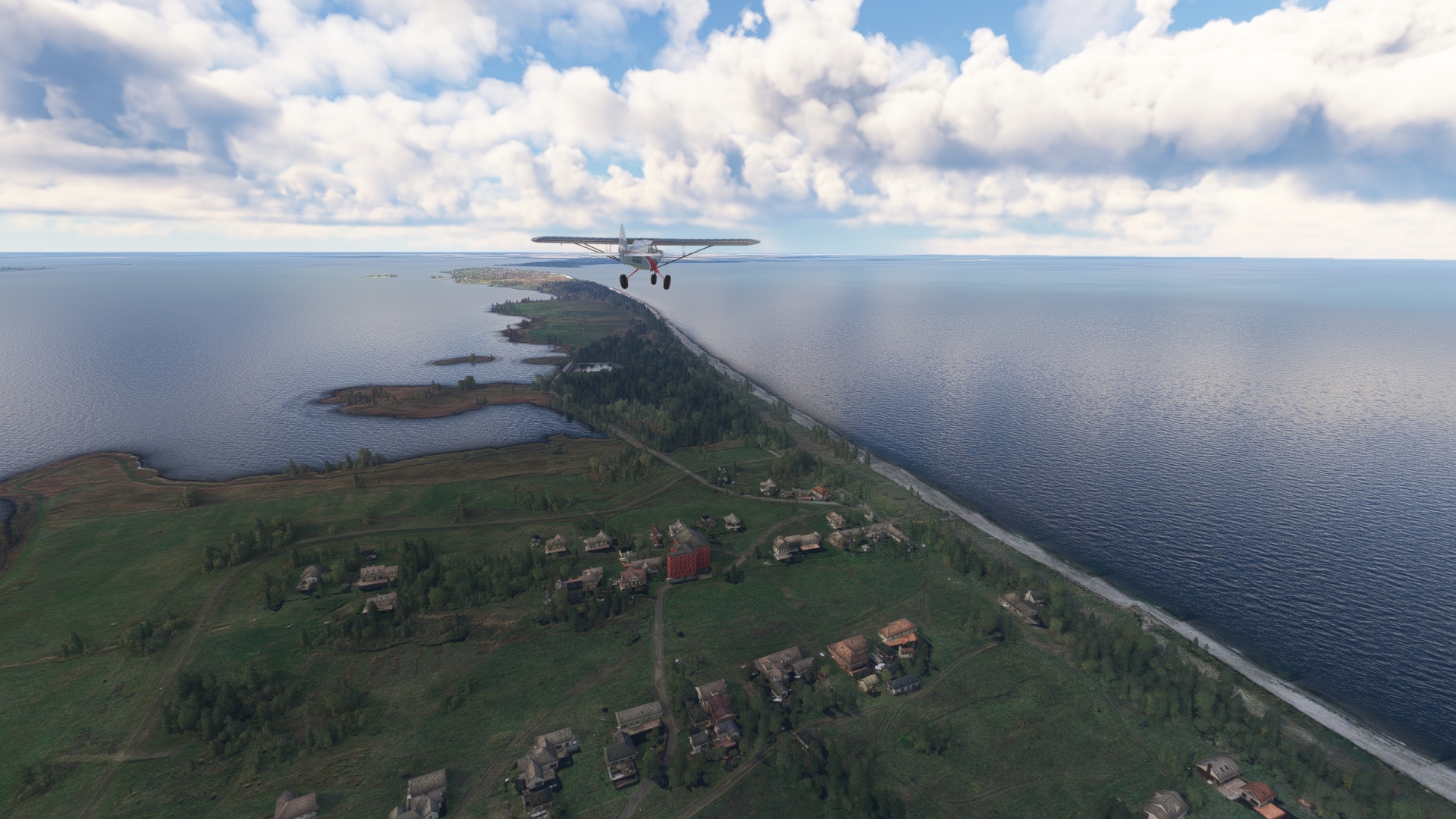
Hiddensee Island(POI13) to Trent(TRT)
Distance: 5.89NM Bearing: 89° 3 minutes
Set the aircraft’s NAV receiver to 108.45 and fly toward VOR TRT (Trent).
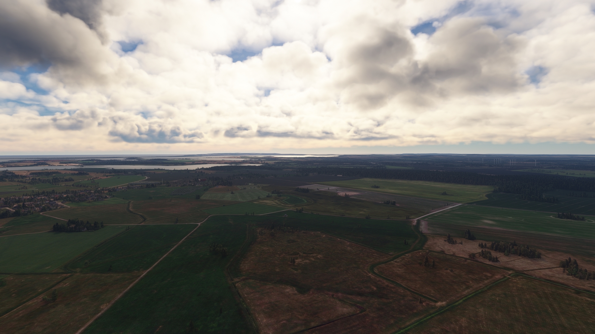
Trent(TRT) to Rugen(EDCG)
Distance: 8.08NM Bearing: 156° 4 minutes
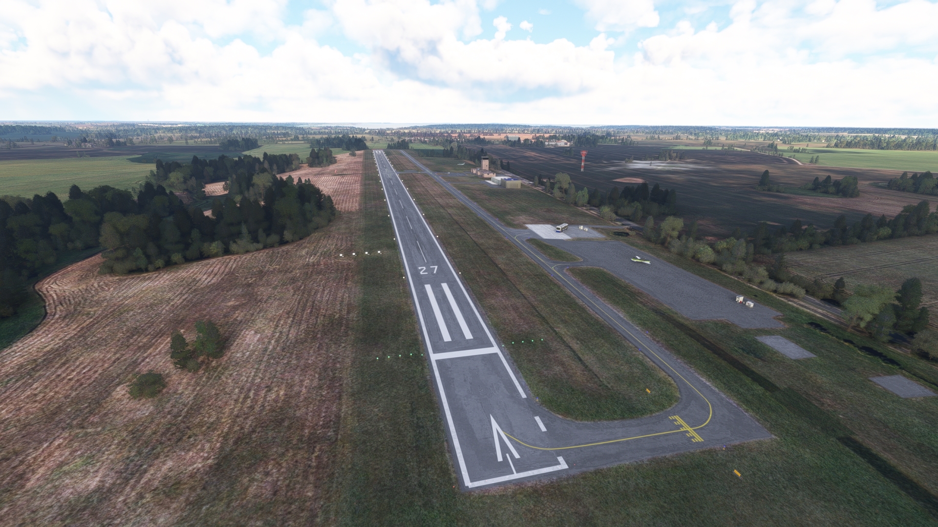
At VOR TRT (Trent), set the course indicator to 158° M and follow the radial of the VOR to Rügen Airfield and land. Rügen Airport is the sole airfield on the island of Rügen and was initially a grass strip used exclusively for agricultural flights.
Leg 4
Rugen to Purkshof
Leg Distance: 53.85 Approximate time at 125kts: 26 minutes.
Rugen(EDCG) to Stralsund(POI14)
Distance: 9.23NM Bearing: 234° 4 minutes
After checking fuel level and the engine, take to the sky from Rügen Airport and follow federal highway 96 to the southwest. Gain a visual on the city of Stralsund and the Strelasund (Strela Sound) that separates Rügen from mainland Germany. Two bridges cross the Strelasund, passing over Dänholm (Danes’ Isle), which lies in the waterway.
Stralsund, founded in 1234, is the oldest city in the historic region of Pomerania. Its old town was designated a World Heritage Site by the United Nations in 2002 due to its exemplary collection of Brick Gothic architecture.

Stralsund(POI14) to Zingst Peninsula(POI15)
Distance: 10.19NM Bearing: 316° 5 minutes
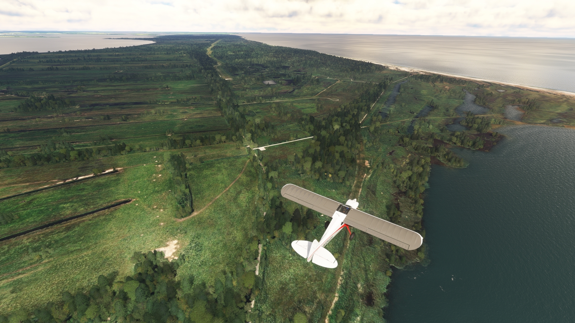
Turn to the northwest over Stralsund and remain approximately one mile from the Strelasund. Pass over the Barther Bodden (Barth Lagoon) to reach the eastern end of the Zingst Peninsula. The Zingst Peninsula is internationally recognized as a premier seaside resort due, in great part, to its beautiful natural setting, including expansive beaches.
Zingst Peninsula(POI15) to Prerow(POI16)
Distance: 12.19NM Bearing: 267° 6 minutes
Turn to the west and track the coastline. Pass over the city of Zingst and then reach the municipality of Prerow. The beach at Prerow is renowned as one of Germany’s most beautiful due to its clear water and white sand.

Prerow(POI16) to Ahrenshop Artists’ Colony(POI17)
Distance: 6.61NM Bearing: 227° 3 minutes
Maintain course to reach the western beach of the peninsula, called Darßer Ort. At Darßer Ort, turn south-southwest and follow the coast to the first village, the artists’ colony of Ahrenshoop.

Ahrenshop Artists’ Colony(POI17) to Ribnitz-Damgarten(POI18)
Distance: 8.06NM Bearing: 174° 4 minutes
At Ahrenshoop, turn to the south-southeast and diagonally cross the Saaler Bodden to the town of Ribnitz-Damgarten. The town was formed by the merging of the towns of Ribnitz and Damgarten in 1950 by the East Germany government. Today, Ribnitz-Damgarten is renowned for amber-based jewelry.

Ribnitz-Damgarten(POI18) to Purkshof(EDCX)
Distance: 7.57NM Bearing: 228° 4 minutes
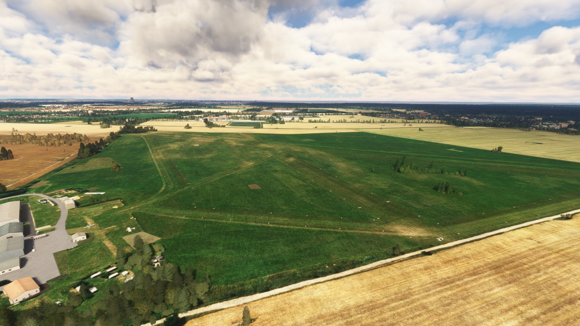
Turn onto a southwest course over Ribnitz-Damgarten and follow the B 105 federal highway, which is paralleled by a railroad line to Gelbensande and then Rövershagen. Land at Purkshof Airport, located just to the south of Rövershagen.
Leg 5
Purkshof to Wismar
Leg Distance: 42.35 Approximate time at 125kts: 20 minutes.
Purkshof(EDCX) to Rostock(POI19)
Distance: 5.87NM Bearing: 211° 3 minutes
After taking off from Purkshof Airport, continue flying to the southwest, using highway 105 and the railroad as a guide, to the city of Rostock.
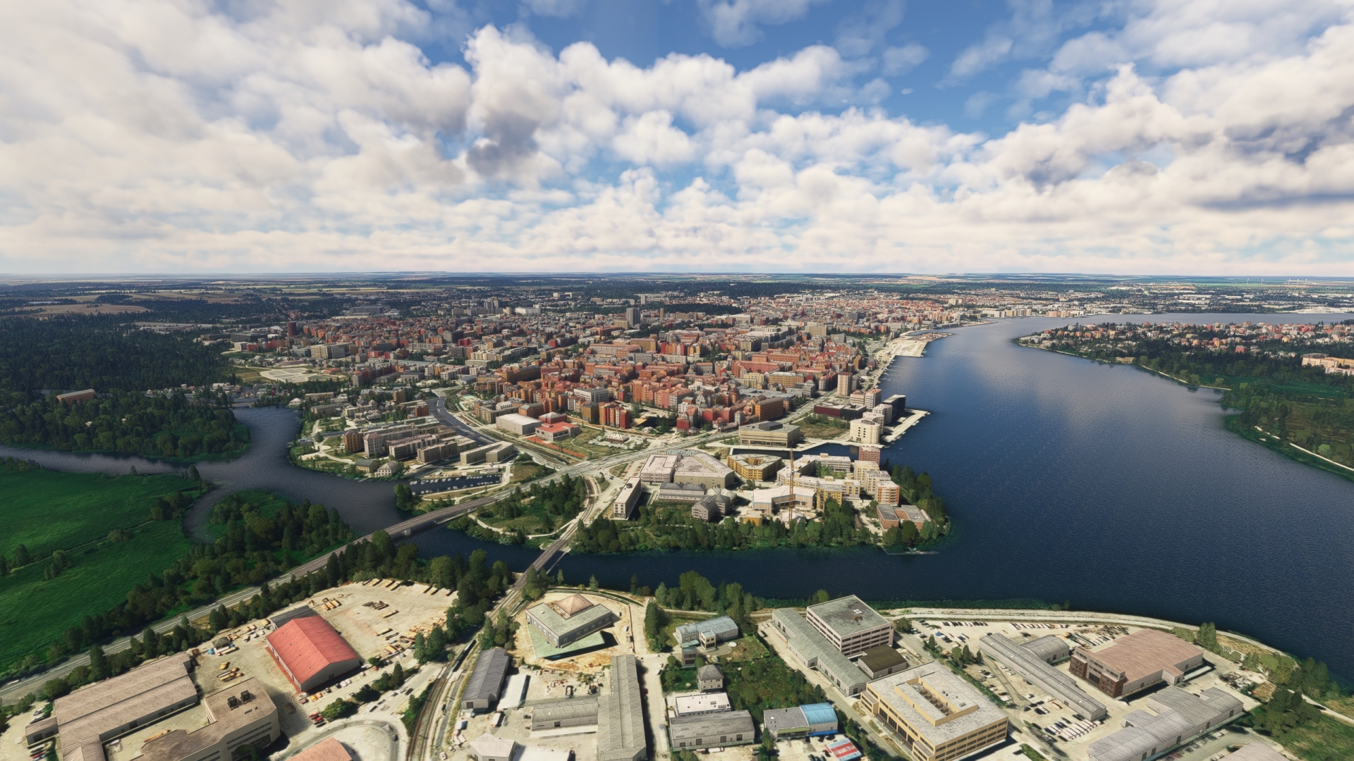
Rostock is the most populous city in the German state of Mecklenburg-Vorpommern and has the fourth largest port in Germany. The city was the headquarters for the pioneering aviation firm Heinkel Flugzeugwerke. The company’s engineers developed the world’s first jet-powered aircraft, the Heinkel He 178, in Rostock.
Rostock(POI19) to Warnemunde(POI20)
Distance: 6NM Bearing: 331° 3 minutes
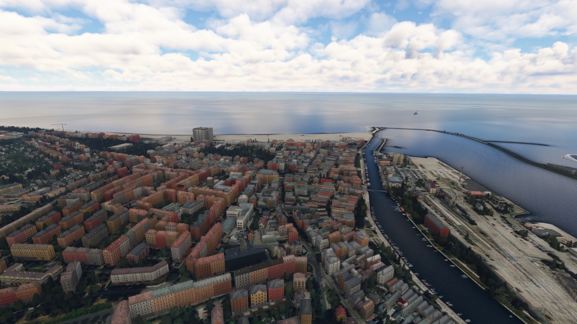
Follow the Warnow river to the north, through its estuary the Unterwarnow, to the Baltic Sea. The city of Warnemünde is located on the western side of the mouth of the estuary. The city is a vital Baltic Sea tourism center and hosts two major maritime festivals each summer, Warnemünde Week and the Hanse Sail.
Warnemunde(POI20) to Heiligendamm(POI21)
Distance: 8.73NM Bearing: 251° 4 minutes
At Warnemünde, turn to the west and follow the coastline to the city of Heiligendamm. Founded in 1792, Heiligendamm is the oldest seaside resort in continental Europe and has been used over the centuries for several important international conventions.
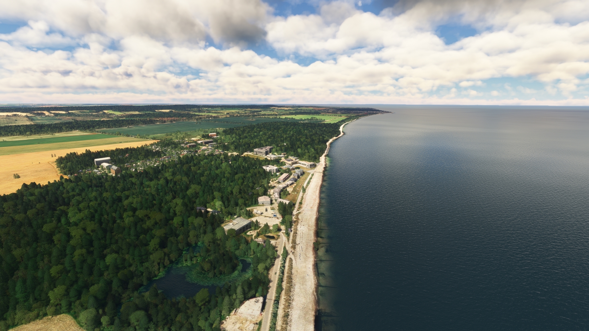
Heiligendamm(POI21) to Wustrow Peninsula(POI22)
Distance: 10.11NM Bearing: 247° 5 minutes
Continue to follow the coastline, passing by the town of Kühlungsborn and its marina, to arrive at the Wustrow Peninsula. The peninsula separates the Baltic Sea from the Salzhaff, a nearly enclosed body of water that supports a unique variety of plant and animal species.
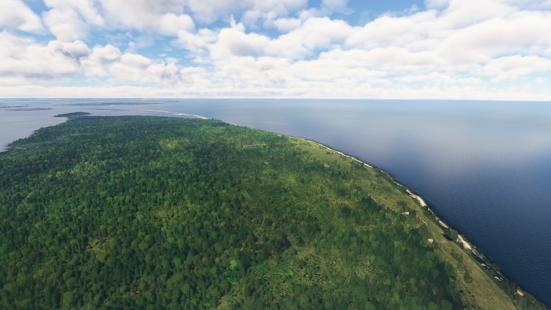
Wustrow Peninsula(POI22) to Poel Island(POI23)
Distance: 7.98NM Bearing: 202° 4 minutes
Fly to the southwest, over uninhabited Kieler Ort, a long, low island of sand. Gain a visual on the island of Poel and fly along the sound that separates it from the mainland to reach the southern end of the island. A popular vacation destination, Poel is shrouded in a legend of a mischievous giant who roams the island.
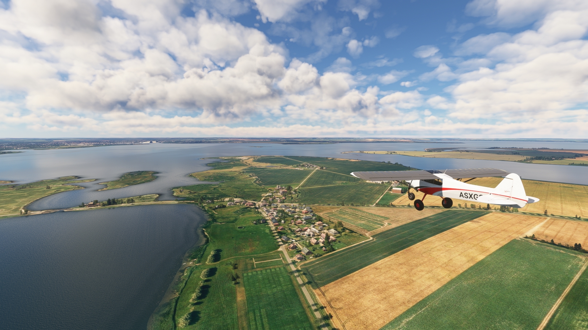
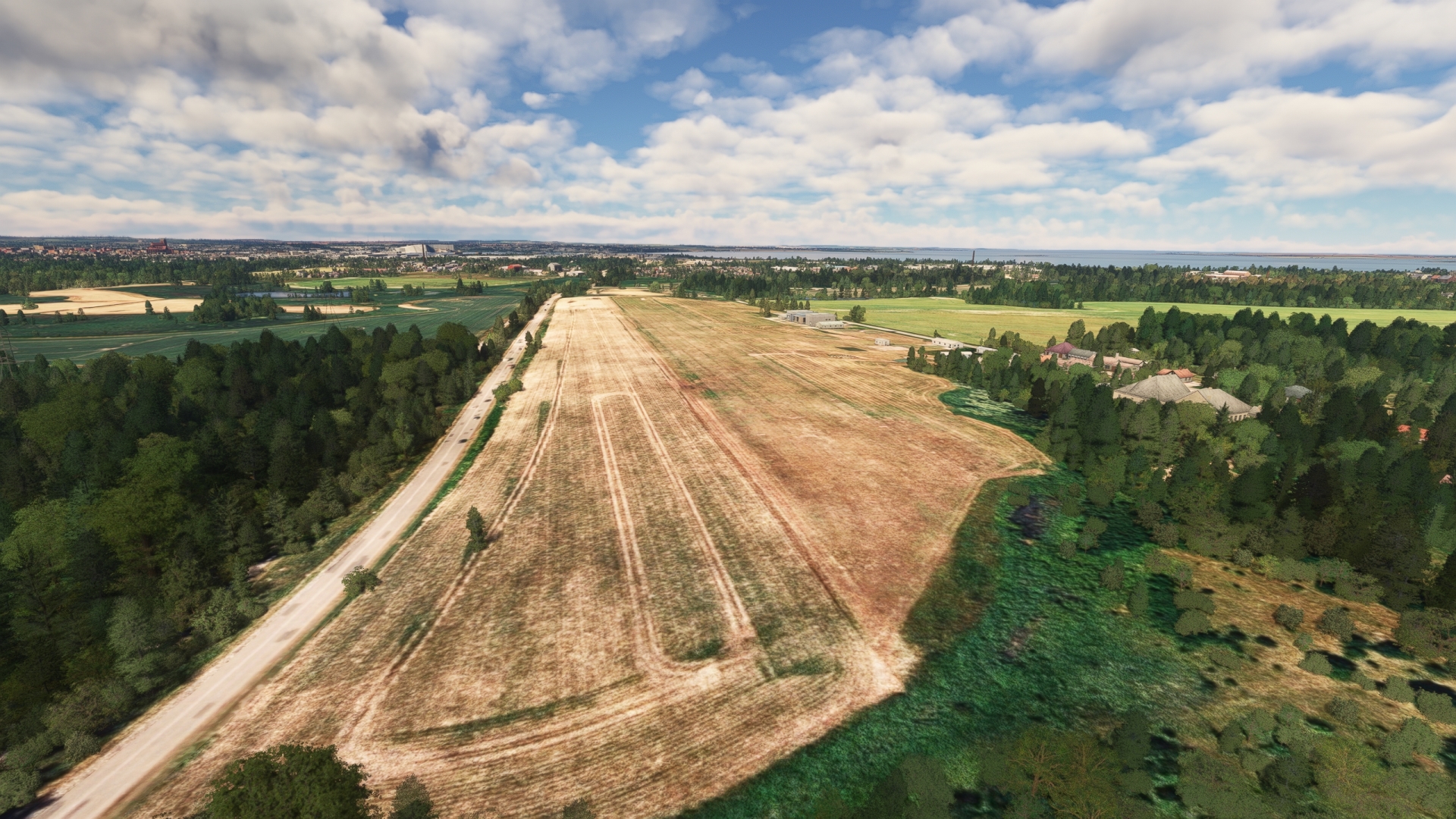
Poel Island(POI23) to Wismar(EDCW)
Distance: 3.66NM Bearing: 157° 2 minutes
From the southern tip of Poel, turn onto a south-southeast heading toward the mainland and pass over the village Redentin. Land at Wismar Airport, located just to the south-southeast of Redentin.
Leg 6
Wismar to Hof Altona
Leg Distance: 38.83 Approximate time at 125kts: 19 minutes.
Wismar(EDCW) to Wismar(POI24)
Distance: 2.05NM Bearing: 218° 1 minutes
Lift off from Wismar Airport and set a course to the southwest to the city of Wismar. Located near the southern extremity of the Baltic Sea, settlement of the area dates back thousands of years. The United Nations recognized the historic city center of Wismar as a World Heritage Site in 2002 due to its Brick Gothic style of architecture.

Wismar(POI24) to Dorf Mecklenburg(POI25)
Distance: 3.18NM Bearing: 168° 2 minutes
Turn to the south over Wismar and follow the rail line to the village of Dorf Mecklenburg. The town is home to the remains of Mecklenburg Castle, a medieval castle mentioned as early as the year 965.

Dorf Mecklenburg(POI25) to Boltenhagen(POI26)
Distance: 13.1NM Bearing: 309° 6 minutes
Turn back toward Wismar and then follow the western shore of the Bay of Wismar, heading toward the northwest. Fly over Eggers Wieck and the adjoining, expansive Wohlenberger Wieck. Continue to the Baltic Sea resort town of Boltenhagen, located on the shore of a gentle bay.
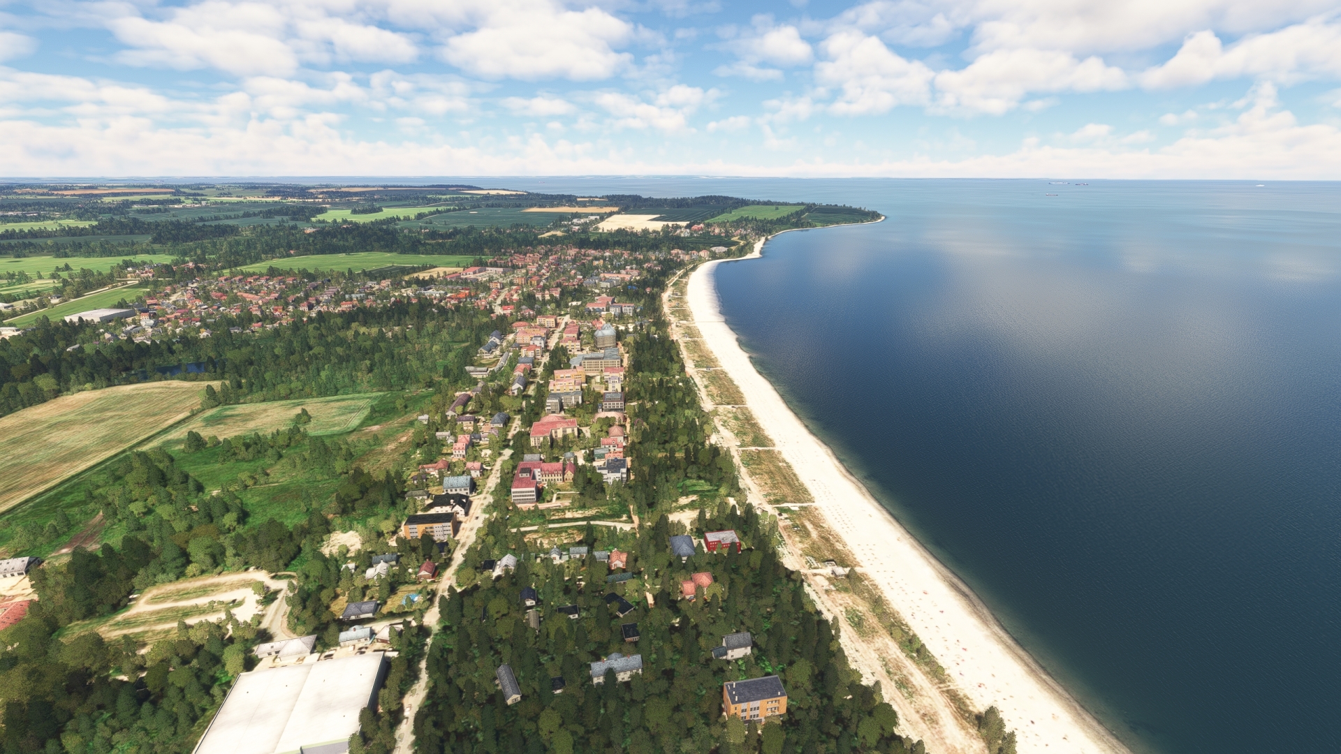
Boltenhagen(POI26) to Klutz(POI27)
Distance: 2.38NM Bearing: 217° 1 minutes
At Boltenhagen, turn to the southwest and pass over the town of Klütz, notable for the Bothmer Castle, a Baroque castle built in the early 1700s.
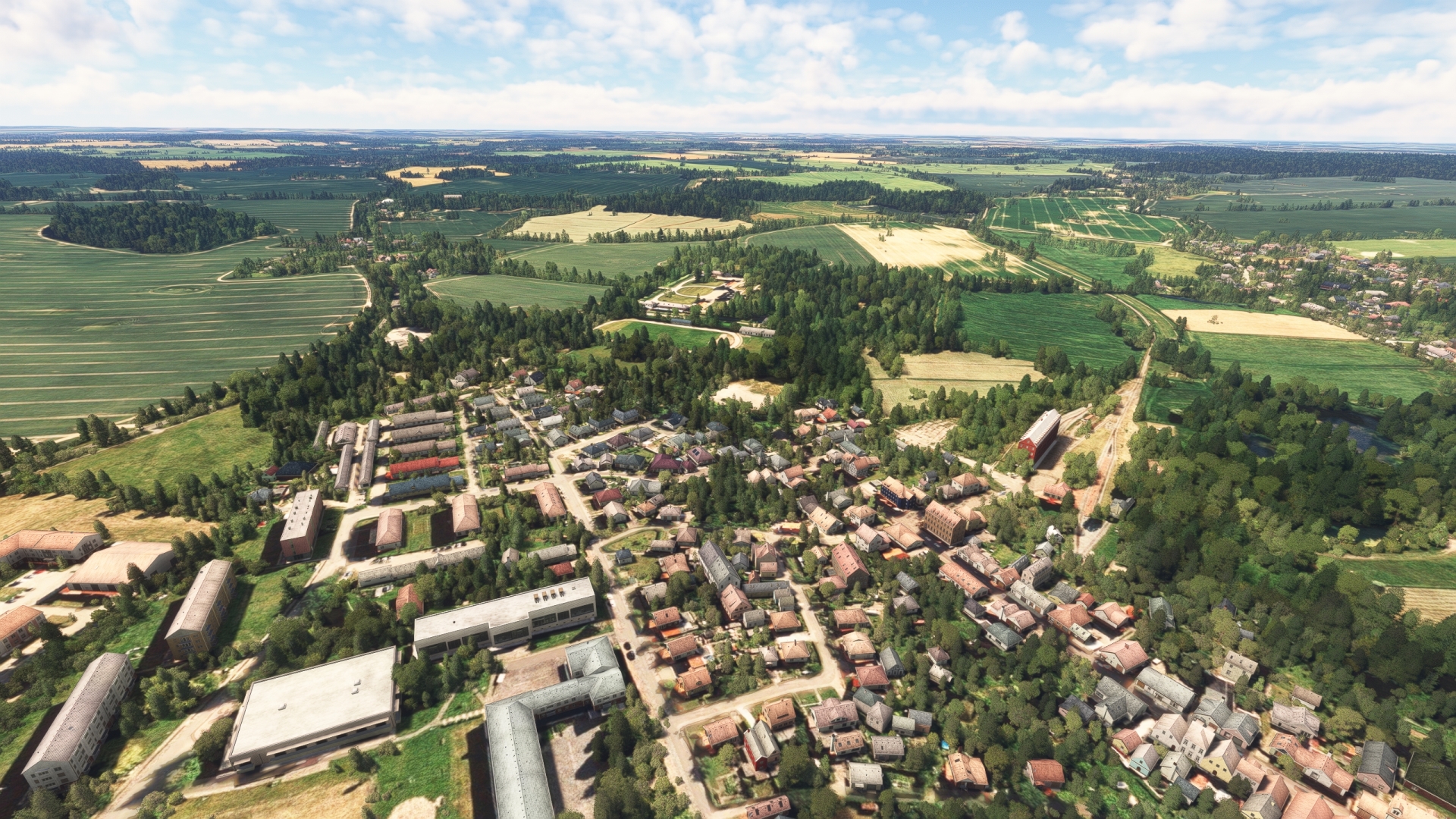
Klutz(POI27) to Priwall Peninsula(POI28)
Distance: 9.65NM Bearing: 264° 5 minutes
Turn to the north and return to the sea, then follow the coastline to the southwest to the Priwall Peninsula. The border between the federal states of Mecklenburg-Vorpommern and Schleswig-Holstein is located at the narrowest point of the transition from the mainland to the Priwall Peninsula. The peninsula was the northernmost point of the former inner-German border that separated East Germany from West Germany.
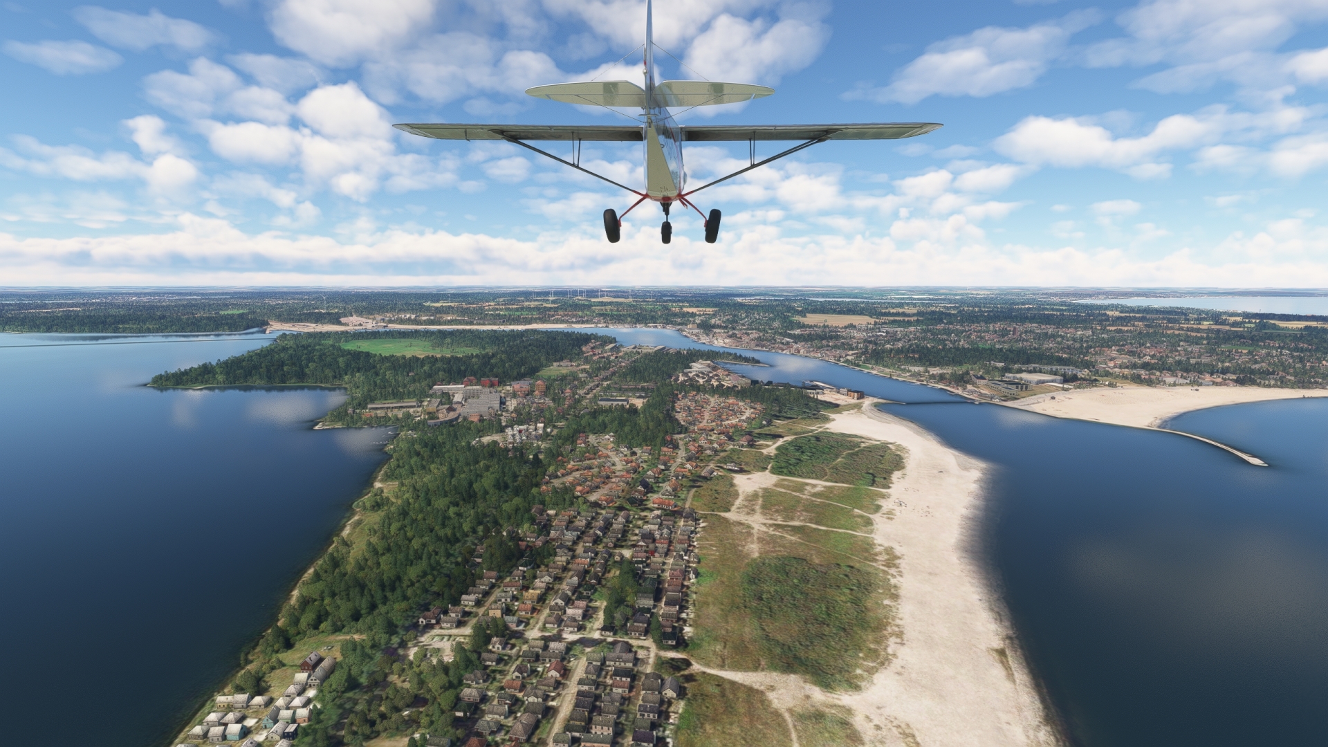
Priwall Peninsula(POI28) to Hof Altona(EDXT)
Distance: 8.47NM Bearing: 319° 4 minutes
Turn to the northwest and pass over the resort town of Travemünde and then follow the western edge of a gentle bay past the towns of Scharbeutz and Haffkrug. Gain a visual on the Autobahn 1, west of Haffkrug, and then land at Hof Altona Airport, located just to the west of the Autobahn.
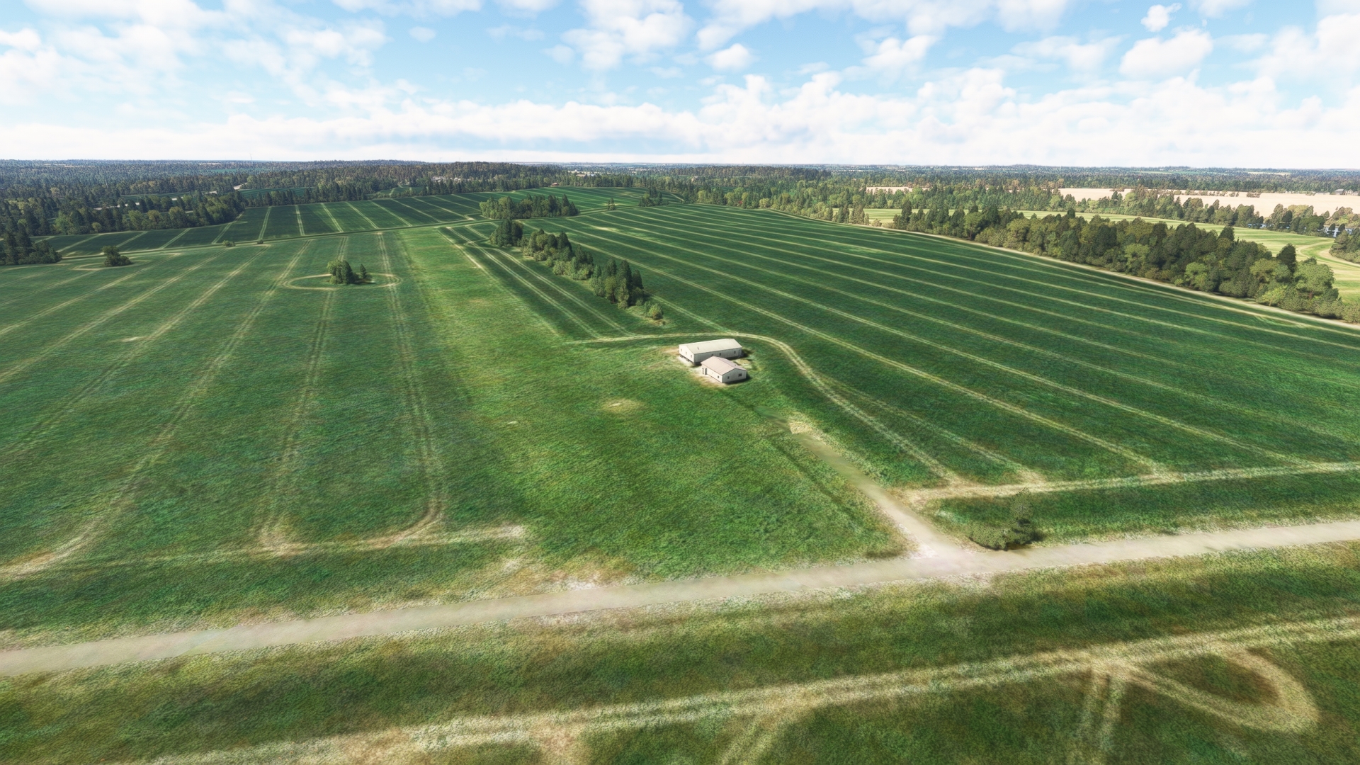
Leg 7
Hof Altona to Holtenau
Leg Distance: 71.19 Approximate time at 125kts: 34 minutes.
Hof Altona(EDXT) to Neustadt in Holstein(POI29)
Distance: 3.3NM Bearing: 43° 2 minutes
Return to the sky and set a course to the northeast, following the Autobahn 1 corridor. Pass over Neustadt in Holstein, located on the Bay of Neustadt, itself part of the Baltic Sea’s Bay of Lübeck. The city grew due to its port, which was important for Dutch and Danish merchants. The former settlement of Neustadt from the 13th century with the town church and the market square is still largely intact today.
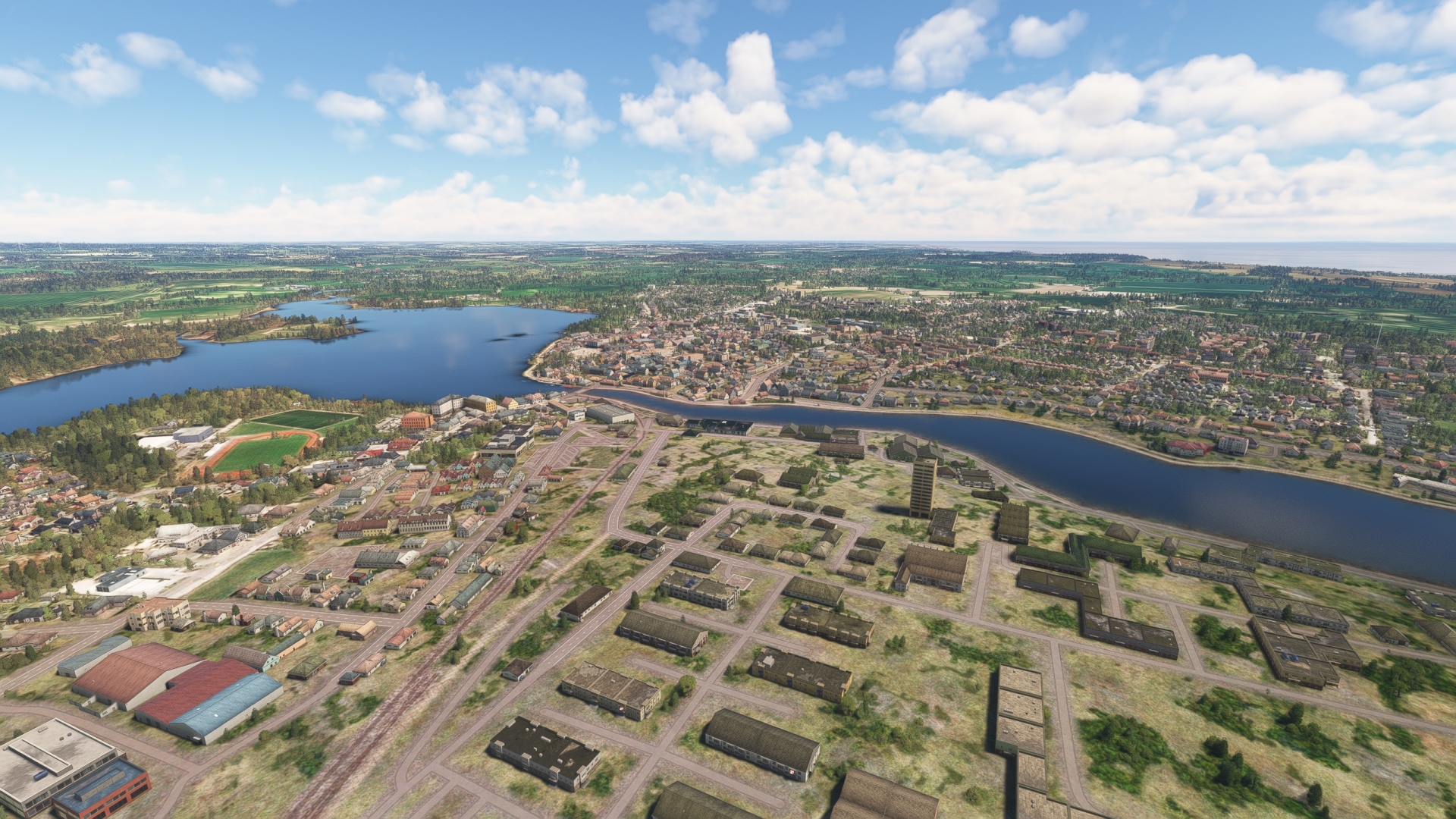
Neustadt in Holstein(POI29) to Heiligenhafen(POI30)
Distance: 16.63NM Bearing: 15° 8 minutes
Follow Autobahn 1 north from Neustadt and gain a visual on Fehmarn, Germany’s third largest island, and Fehmarn Sound, which separates the mainland from the island. Pass over the city of Heiligenhafen, located on the southern shore of Fehmarn Sound.
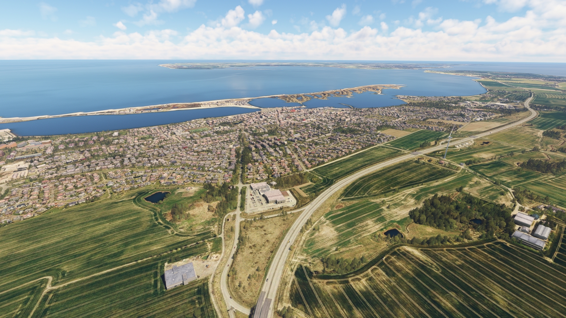
Heiligenhafen(POI30) to Fehmarn Sound Bridge(POI31)
Distance: 5.35NM Bearing: 63° 3 minutes
Continue following Autobahn 1 to the northeast and fly over Fehmarn Sound Bridge, which connects the mainland with Fehmarn. The span is notable for its distinctive design comprising two parabolic arches and has earned the nickname “coat hanger.”
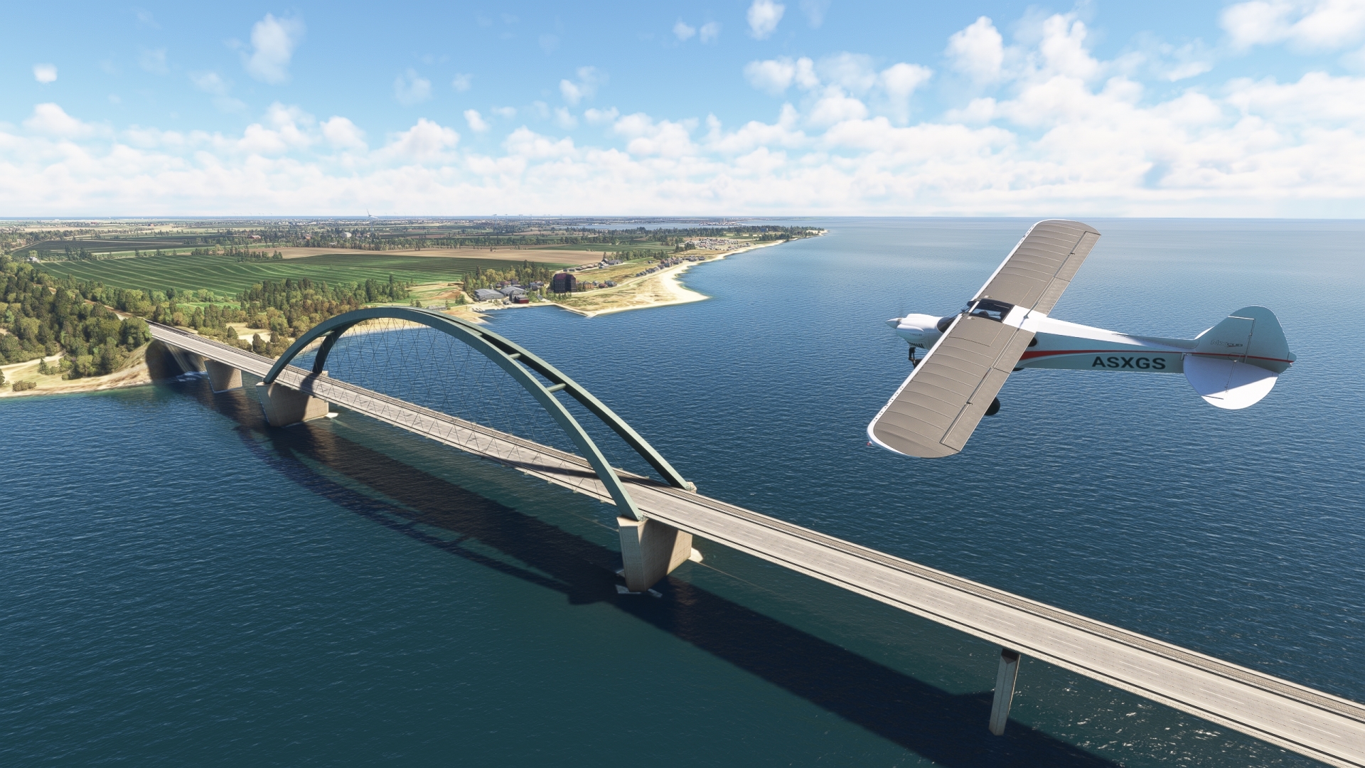
Fehmarn Sound Bridge(POI31) to Puttgarden(POI32)
Distance: 7.35NM Bearing: 29° 4 minutes
Continue on course to the north side of Fehmarn to the ferry port of Puttgarden.

Puttgarden(POI32) to Holtenau(EDHK)
Distance: 38.56NM Bearing: 255° 19 minutes
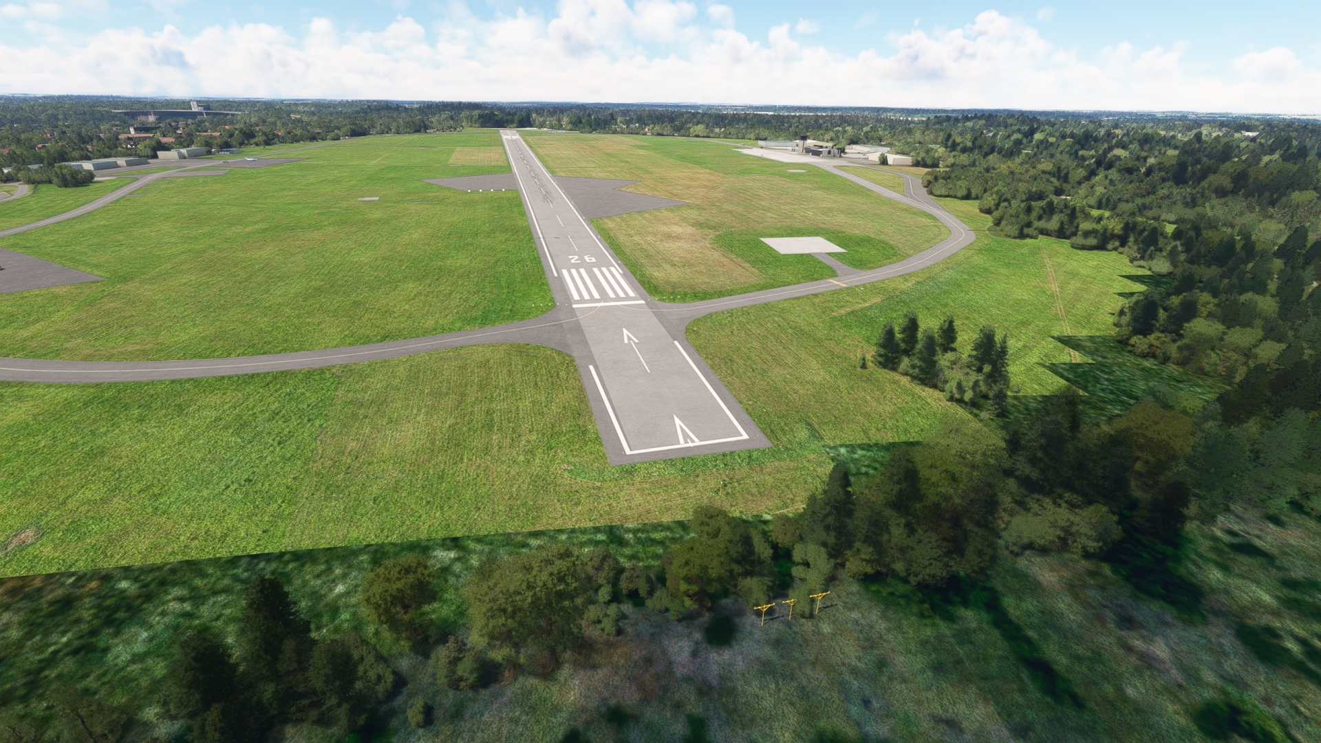
Set a course of 255° M and fly over the Bay of Kiel toward the city of Kiel, the capital and most populous city in the German state of Schleswig-Holstein. Gain a visual on the city and Kieler Förde, the large inlet that connects with the Bay of Kiel. Kiel Airport is located on the west side of Kieler Förde, just north of Kiel Canal. Set the NAV receiver to the ILS signal of runway 26, 109.50 MHz and land.
Leg 8
Holtenau to Nordholz Navy
Leg Distance: 69.25 Approximate time at 125kts: 33 minutes.
Holtenau(EDHK) to Rendsburg(POI33)
Distance: 17.42NM Bearing: 248° 8 minutes
After taking off from Kiel Airport, gain a visual on the Kiel Canal, located just south of the Airport, and follow it to the west to the city of Rendsburg. The Kiel Canal connects the Baltic Sea with the North Sea (via the mouth of the Elbe River) and is one of Europe’s most important waterways. An average of more than 32,000 ships transit the canal every year carrying an aggregate of more than 100 million tons of cargo.
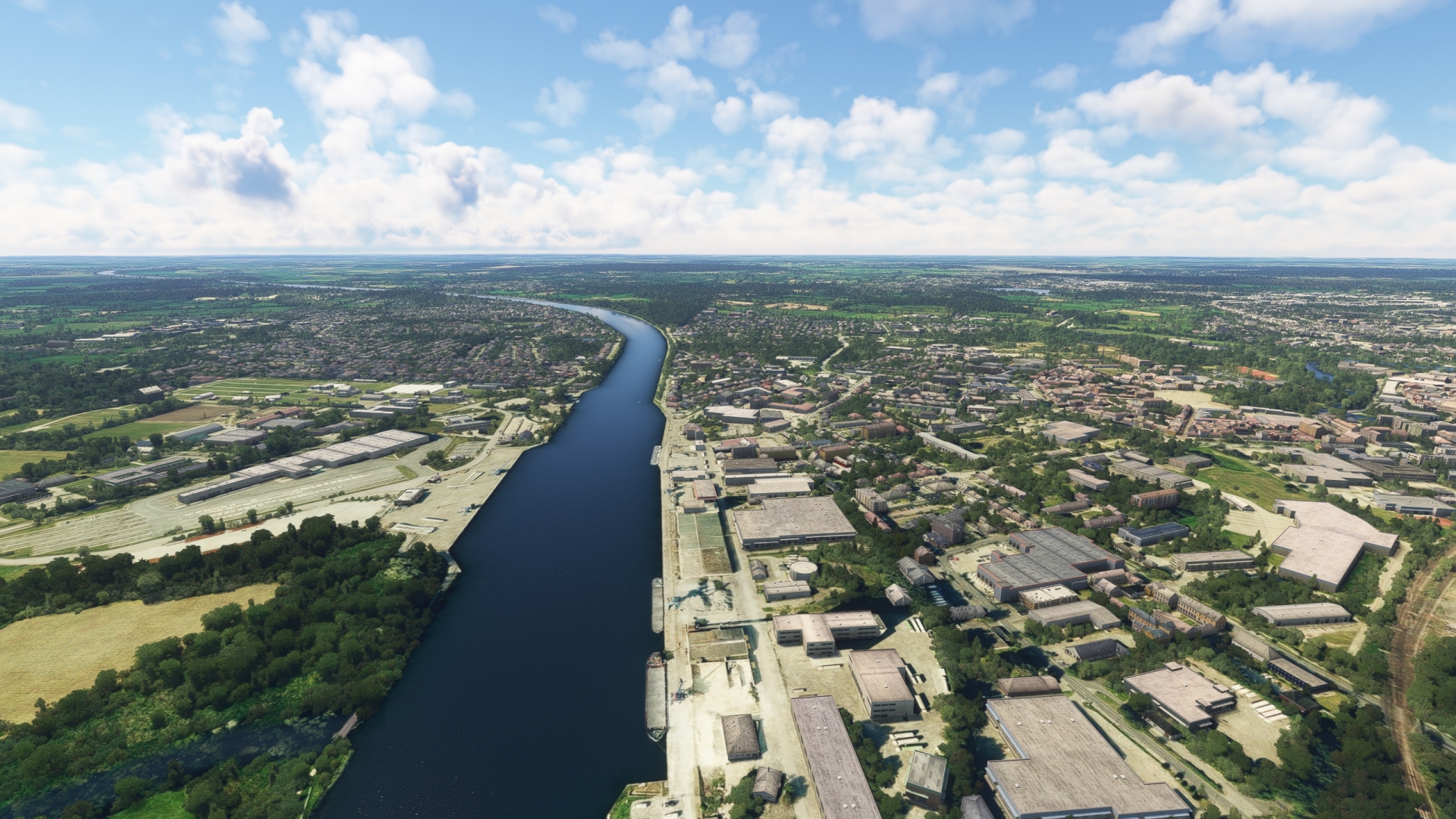
Rendsburg(POI33) to Brunsbuttel(POI34)
Distance: 30.42NM Bearing: 214° 15 minutes
Continue following the Kiel Canal to the mouth of the Elbe River and the town of Brunsbüttel, where the two waterways meet. The Kiel Canal comprises several locks along its length, notably two near Brunsbüttel. A new lock, and an associated bypass, has been under construction since 2014 at Brunsbüttel. The town, located downstream from the large German city of Hamburg, is also home to the now-decommissioned Brunsbüttel Nuclear Power Plant.

Brunsbuttel(POI34) to Cuxhaven(POI35)
Distance: 15.63NM Bearing: 259° 8 minutes
From Brunsbüttel, fly to the west, diagonally crossing the mouth of the Elbe, to reach the town of Cuxhaven, an important center of tourism in the region.

Cuxhaven(POI35) to Nordholz Navy(ETMN)
Distance: 5.78NM Bearing: 191° 3 minutes
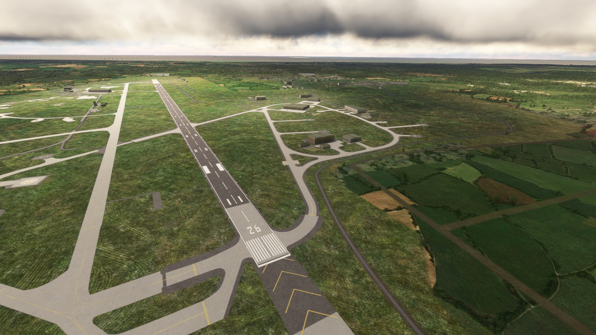
Turn to the south and gain a visual on Nordholz Air Base and land.
The facility dates to 1912 and was one of the largest and most important airship bases during the First World War. It comprised a double hanger built on rails that could be rotated 360° within an hour to ensure that airships could always launch or land into the wind. The structure, the only one of its kind ever constructed, weighed 4,600 tons.
Leg 9
Nordholz Navy to Harle
Leg Distance: 45.02 Approximate time at 125kts: 22 minutes.
Nordholz Navy(ETMN) to Bremerhaven(POI36)
Distance: 13.67NM Bearing: 188° 7 minutes
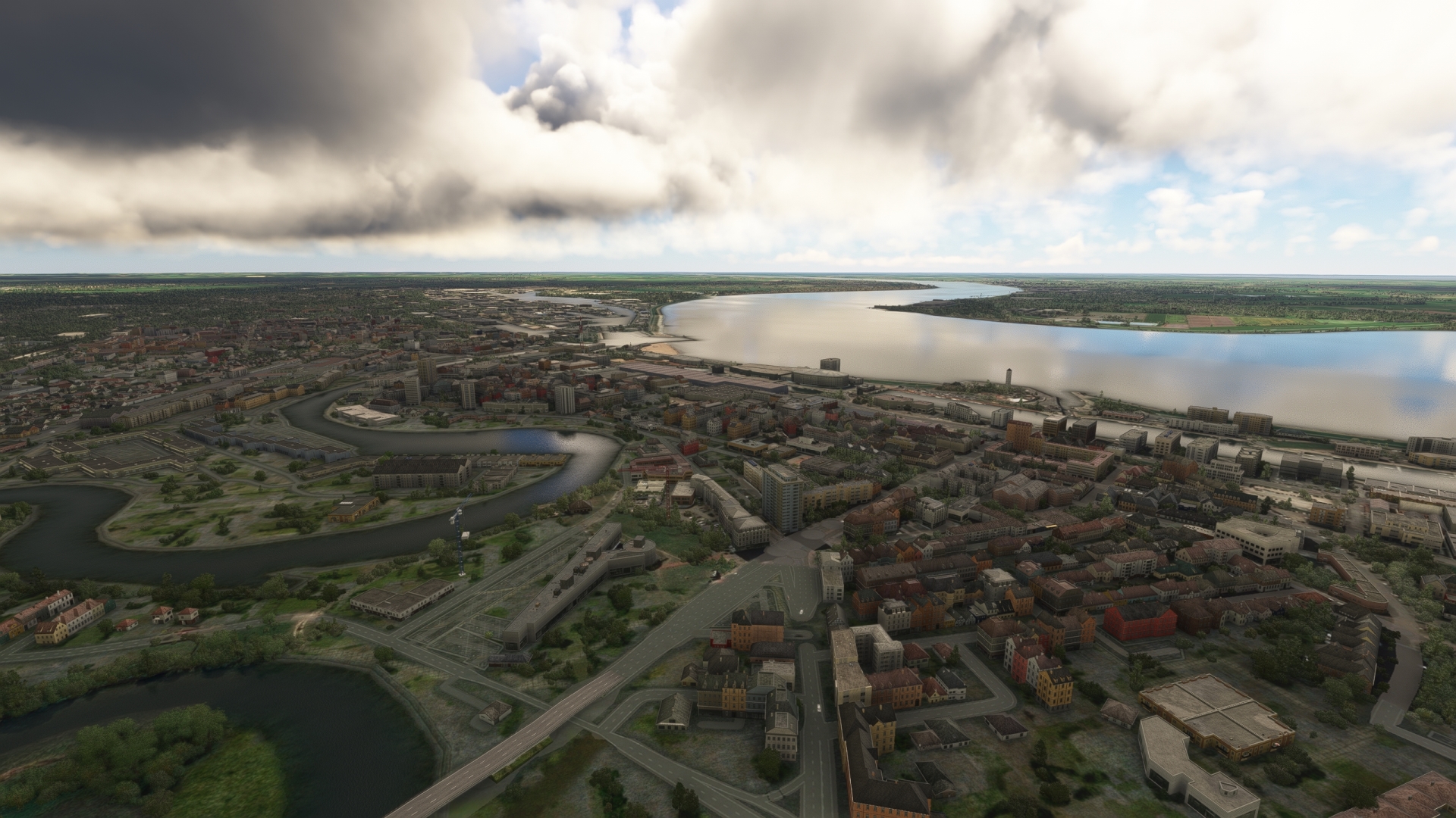
Lift off from Nordholz Air Base and follow Autobahn 27 south to the city of Bremerhaven, located on the east bank of the estuary of the Weser river. The city is today an important center for education, technology, and science.
Bremerhaven(POI36) to Wilhelmshaven(POI37)
Distance: 16.21NM Bearing: 264° 8 minutes
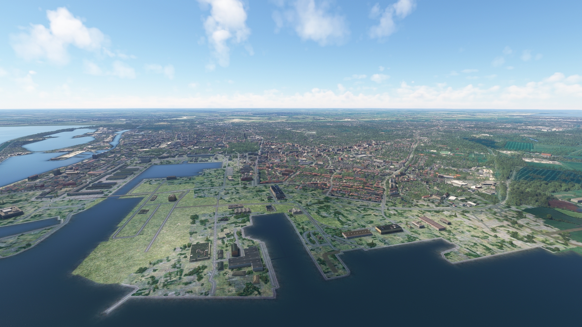
Turn to the west and fly over the Weser estuary and the Budjadingen peninsula to reach Wilhelmshaven, location of one of the largest Naval bases in Western Europe, Naval Base Heppenser Groden.
Wilhelmshaven(POI37) to Harle(EDXP)
Distance: 15.14NM Bearing: 311° 7 minutes
Follow the coastline from Wilhelmshaven to the north and then to the west to reach Harle Airfield. The airfield is located on the coast of the region known as East Frisia, a historic area of the German state of Lower Saxony.

Leg 10
Harle to Borkum
Leg Distance: 50.85 Approximate time at 125kts: 24 minutes.
Harle(EDXP) to Wangerooge(POI38)
Distance: 6.12NM Bearing: 34° 3 minutes
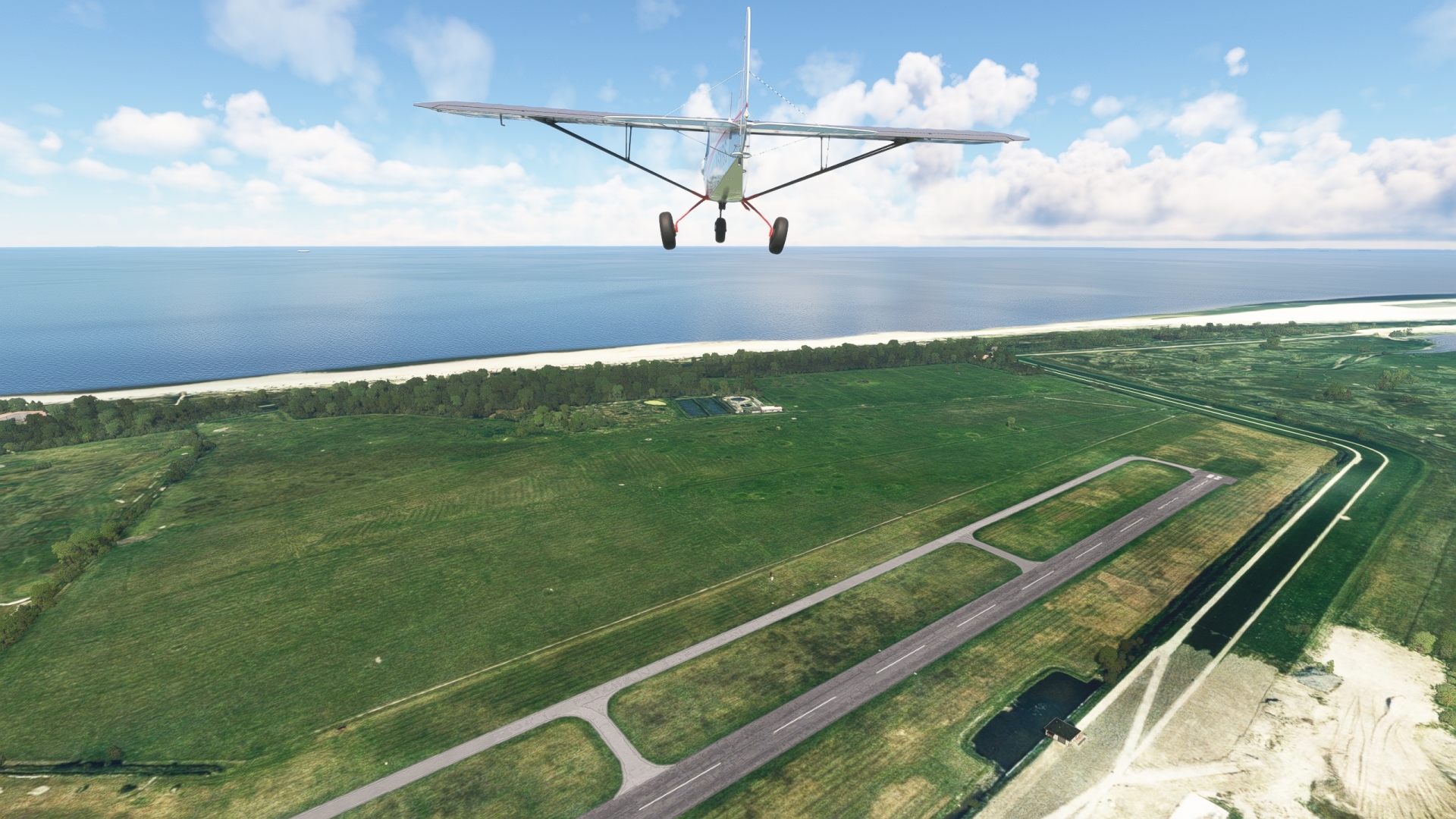
Lift off into the East Frisian sky and head northeast to the easternmost of the East Frisian Islands, Wangerooge.
Wangerooge(POI38) to Norderney(POI39)
Distance: 24.03NM Bearing: 256° 12 minutes
Fly along the linear archipelago to Norderney, the second largest island in the chain. Each of the islands has a small airstrip that is ideal for practicing touch-and-gos with the XCub. The East Frisian Islands are well known in Germany as both resort destinations and wildlife sanctuaries.

Norderney(POI39) to Borkum(EDWR)
Distance: 20.7NM Bearing: 248° 10 minutes
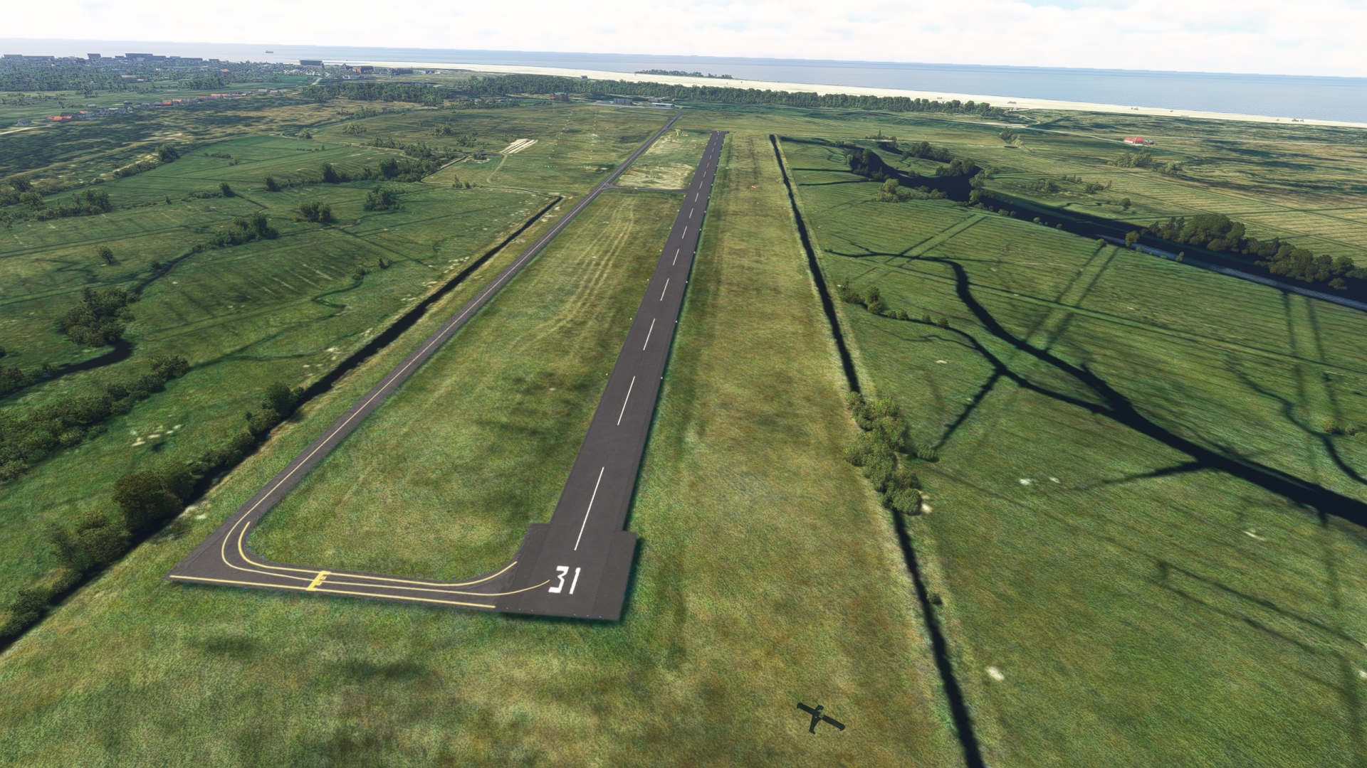
Continue to the west, passing the islands Juist, Memmert, and Kachelotplate, and then land at Borkum Airfield on the island of Borkum, the largest of the East Frisian chain.
Leg 11
Borkum to Papenburg
Leg Distance: 32.73 Approximate time at 125kts: 16 minutes.
Borkum(EDWR) to Emden(POI40)
Distance: 22.5NM Bearing: 125° 11 minutes
Take to the sky from Borkum Airfield and set a course to the southeast over the estuary of the Ems river. Follow the winding estuary, the middle of which marks the border between Germany and the Netherlands, to the city of Emden. Today the largest city in East Frisia, Emden was one of the most important locations for the Protestant Reformation during the 16th century.

Emden(POI40) to Papenburg(EDWF)
Distance: 10.23NM Bearing: 121° 5 minutes
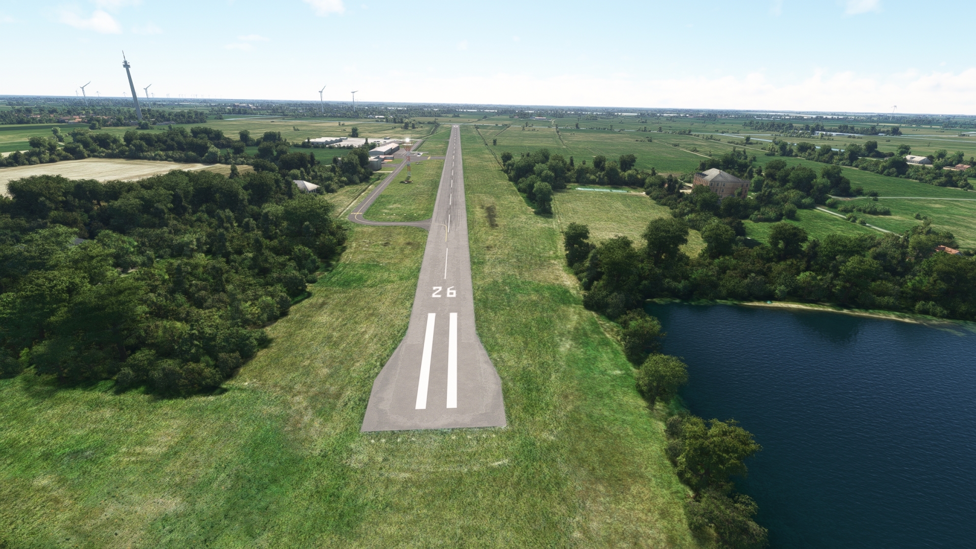
Follow the Ems to the southeast from Emden and land at Leer Papenburg General Airport, located east of the river and just north of Autobahn 31.
Leg 12
Papenburg to Lingen
Leg Distance: 53.1 Approximate time at 125kts: 25 minutes.
Papenburg(EDWF) to Papenburg(POI41)
Distance: 11.49NM Bearing: 184° 6 minutes
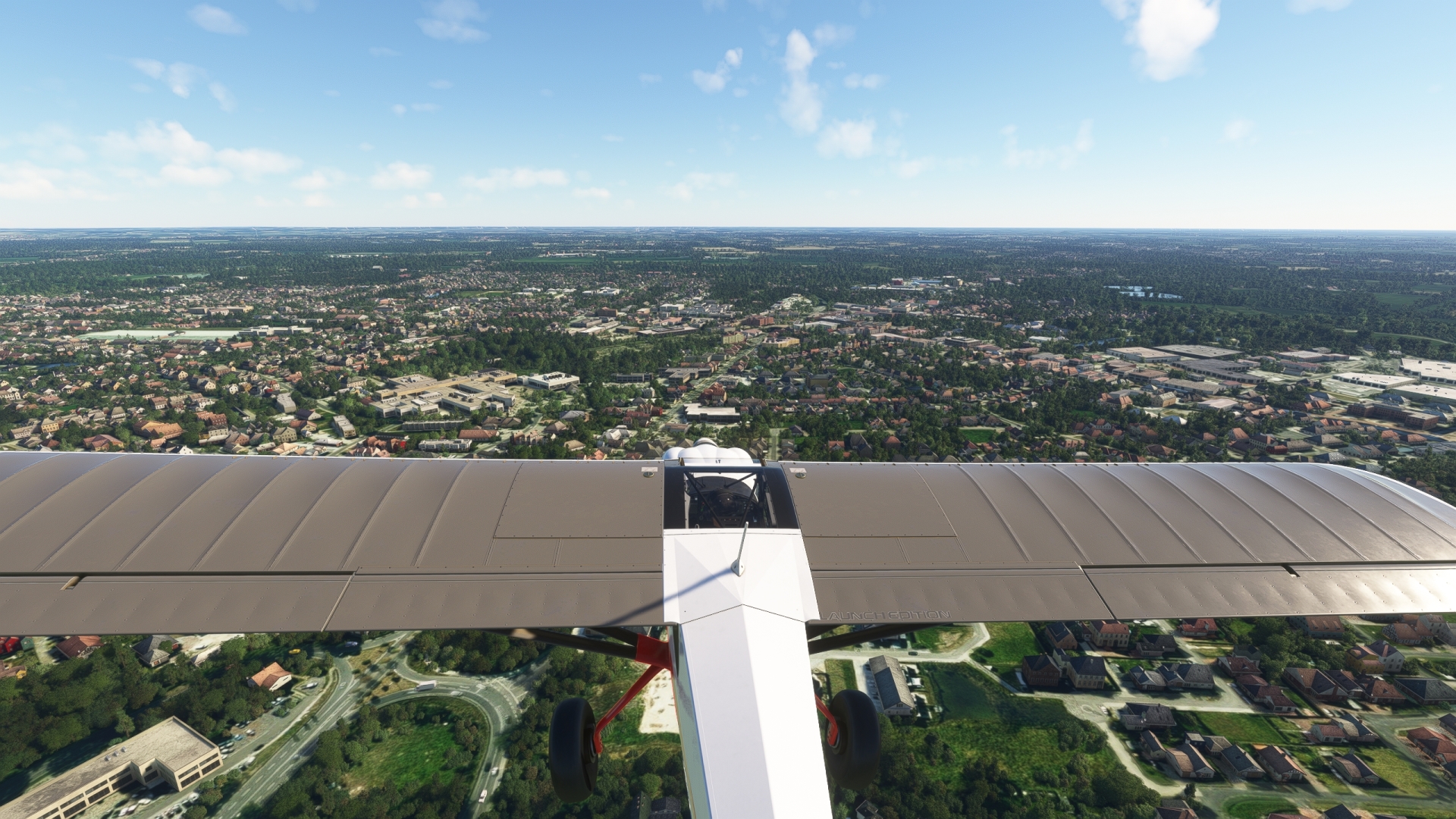
Begin the next leg of the journey by paralleling the River Ems to the south, remaining to its east. Pass over the city of Papenburg, best known for its large shipyard that has produced a number of large cruise ships.
Papenburg(POI41) to Haren(POI42)
Distance: 18.3NM Bearing: 196° 9 minutes
Continue south along the Ems, moving out of the historic region of Friesland into the historic region of Emsland. Fly over the city of Haren, located where the Haren-Rütenbrock Canal meets the Ems. Nearly completely destroyed during the Thirty Years War, Haren recovered and became an important trading center due to its location along the Ems.

Haren(POI42) to Meppen(POI43)
Distance: 6.2NM Bearing: 159° 3 minutes
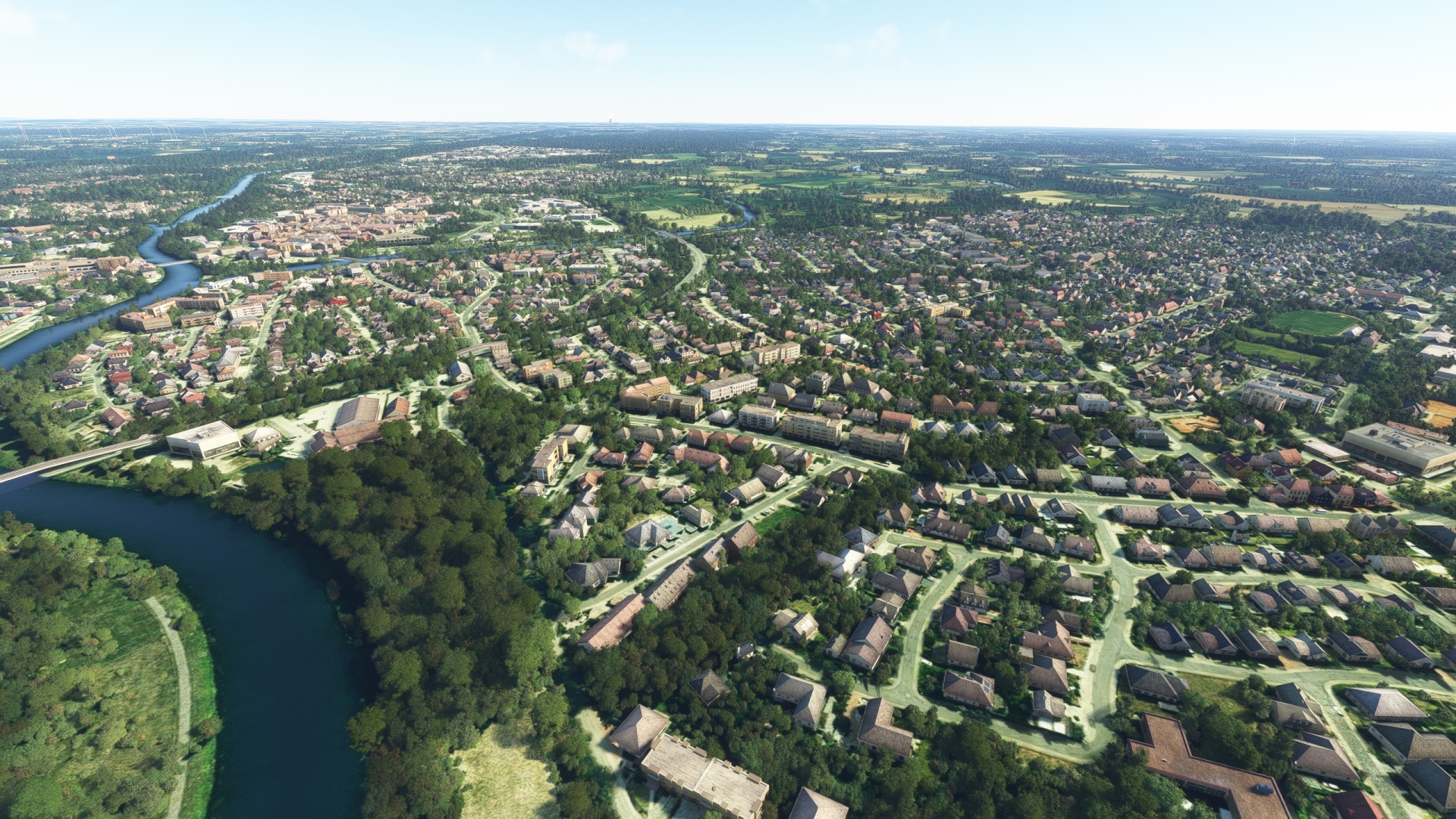
Maintain course along the Ems, fly over Meppen. Located at the confluence of the Nordradde, Hase, and Ems rivers, the city traces its roots to 834. The area surrounding Meppen has several Stone Age megalithic tombs that attract tourists from throughout the world.
Meppen(POI43) to Lingen (Ems)(POI44)
Distance: 10.86NM Bearing: 170° 5 minutes
Maintain course and gain a visual on the Geeste Reservoir, built for cooling water for the Emsland Nuclear Power Plant, one of the first nuclear power generating facilities in Germany. Pass over the reservoir and reach the town of Lingen, home to one of the oldest town halls in Germany, built in 1555.

Lingen (Ems)(POI44) to Lingen(EDWN)
Distance: 6.25NM Bearing: 235° 3 minutes
Follow federal highway 213 to the southeast from Lingen and land at Nordhorn-Lingen Airport, which is located south of highway 214 and west of Autobahn 31.

Leg 13
Lingen to Munster/Osnabruck
Leg Distance: 28.62 Approximate time at 125kts: 14 minutes.
Lingen(EDWN) to Schuttorf Freeway Junction(POI45)
Distance: 7.93NM Bearing: 153° 4 minutes
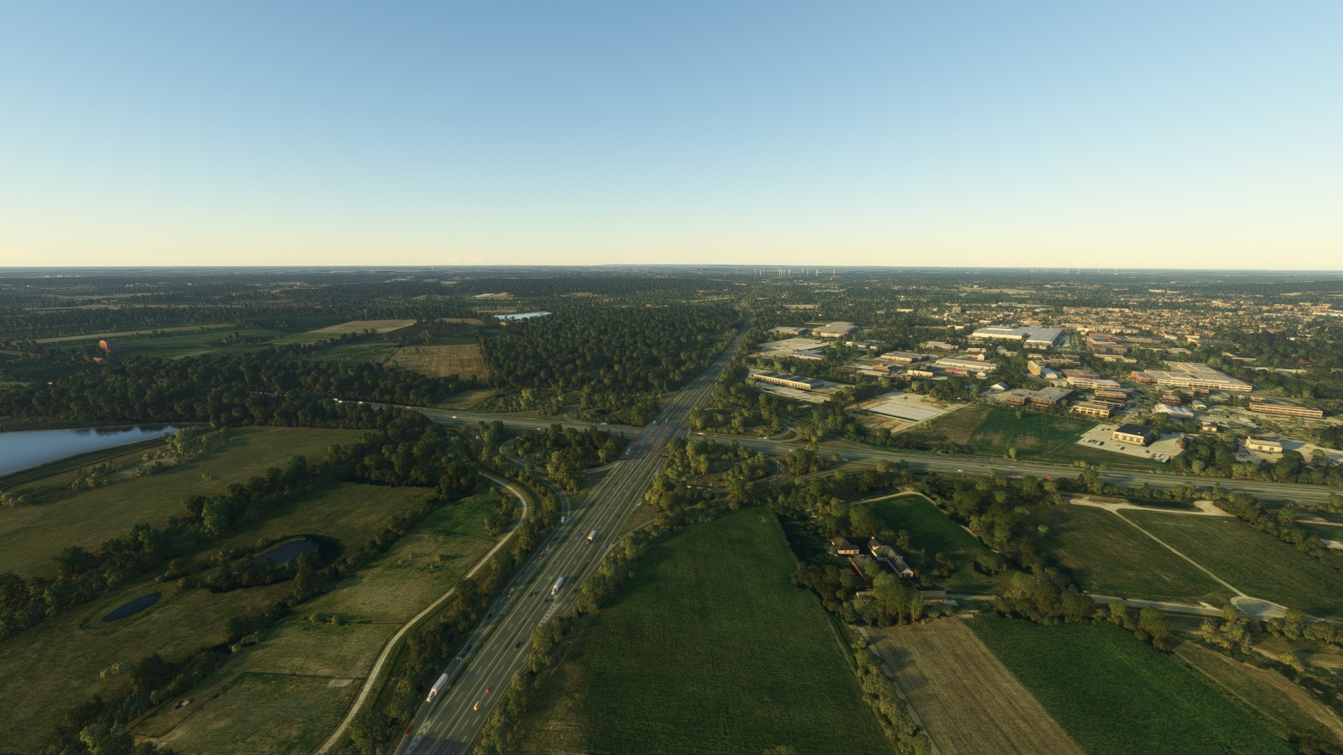
Take-off and follow Autobahn 31 to the south to its juncture with highway 30.
Schuttorf Freeway Junction(POI45) to Rheine(POI46)
Distance: 7.34NM Bearing: 105° 4 minutes
Follow highway 30 east to the town of Rheine, located on the border of the states of Lower Saxony and North Rhine-Westphalia. The Ems in this region was used by the Romans 2,000 years ago as a waterway during their conquest into Germania to the north.

Rheine(POI46) to Munster/Osnabruck(EDDG)
Distance: 13.35NM Bearing: 136° 6 minutes
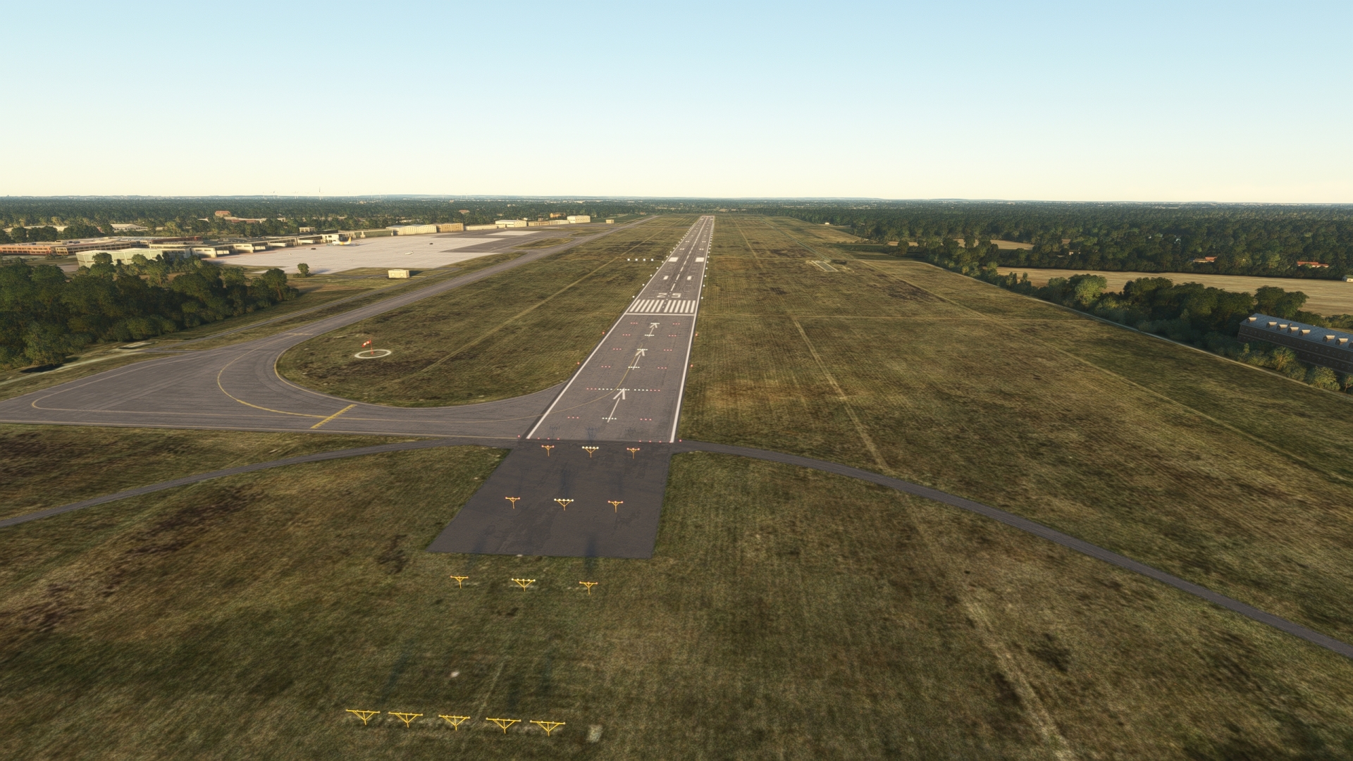
Continue following Autobahn 30 and the Dortmund-Ems Canal that parallels it. The canal diverges from the highway and continues in a south-southeasterly direction to highway 1. Münster Osnabrück Airport is located directly at the point where the Dortmund-Ems Canal crosses highway 1. Land at the airport to complete this stage of the journey.
Leg 14
Munster/Osnabruck to Kamen-Heeren Airfield
Leg Distance: 34.83 Approximate time at 125kts: 17 minutes.
Munster/Osnabruck(EDDG) to Munster(POI47)
Distance: 10.55NM Bearing: 186° 5 minutes
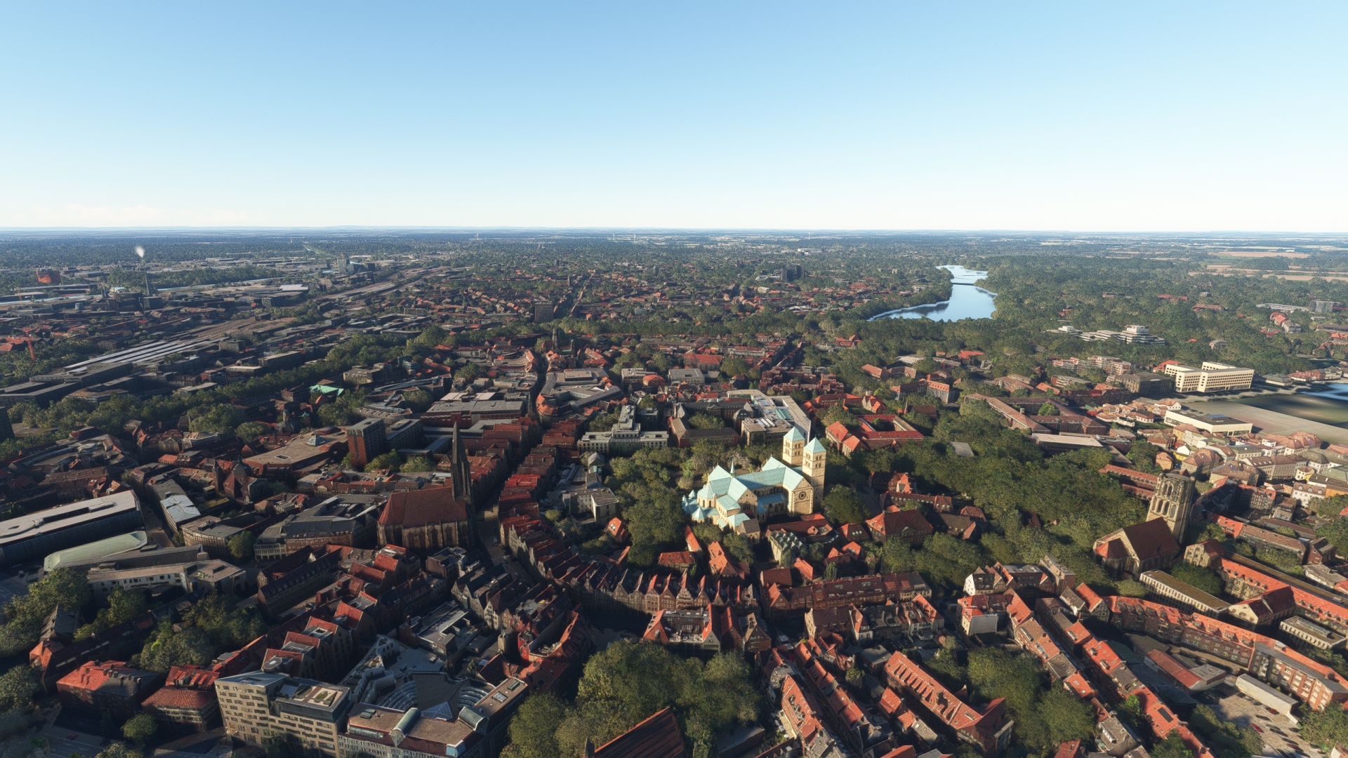
Begin the next stage of the journey by flying southwest from Münster Osnabrück Airport, remaining west of the Dortmund-Ems Canal. Continue on course to the city of Münster, one of the most renowned landmarks of which is the Münster Cathedral, also called St.-Paulus-Dom. The cathedral is located near the center of the city atop a small knoll and is known as an excellent example of Romanesque and Gothic architecture.
Munster(POI47) to Munster South Interchange(POI48)
Distance: 3.96NM Bearing: 222° 2 minutes
Turn southwest over the city of Münster and pass over the Münster-Süd interchange of highways 1 and 43.

Munster South Interchange(POI48) to Ascheberg(POI49)
Distance: 7.65NM Bearing: 155° 4 minutes
From the interchange, follow Autobahn 1 to the south to the village of Ascheberg, a farming settlement of Saxon origin established in the mid-9th century.
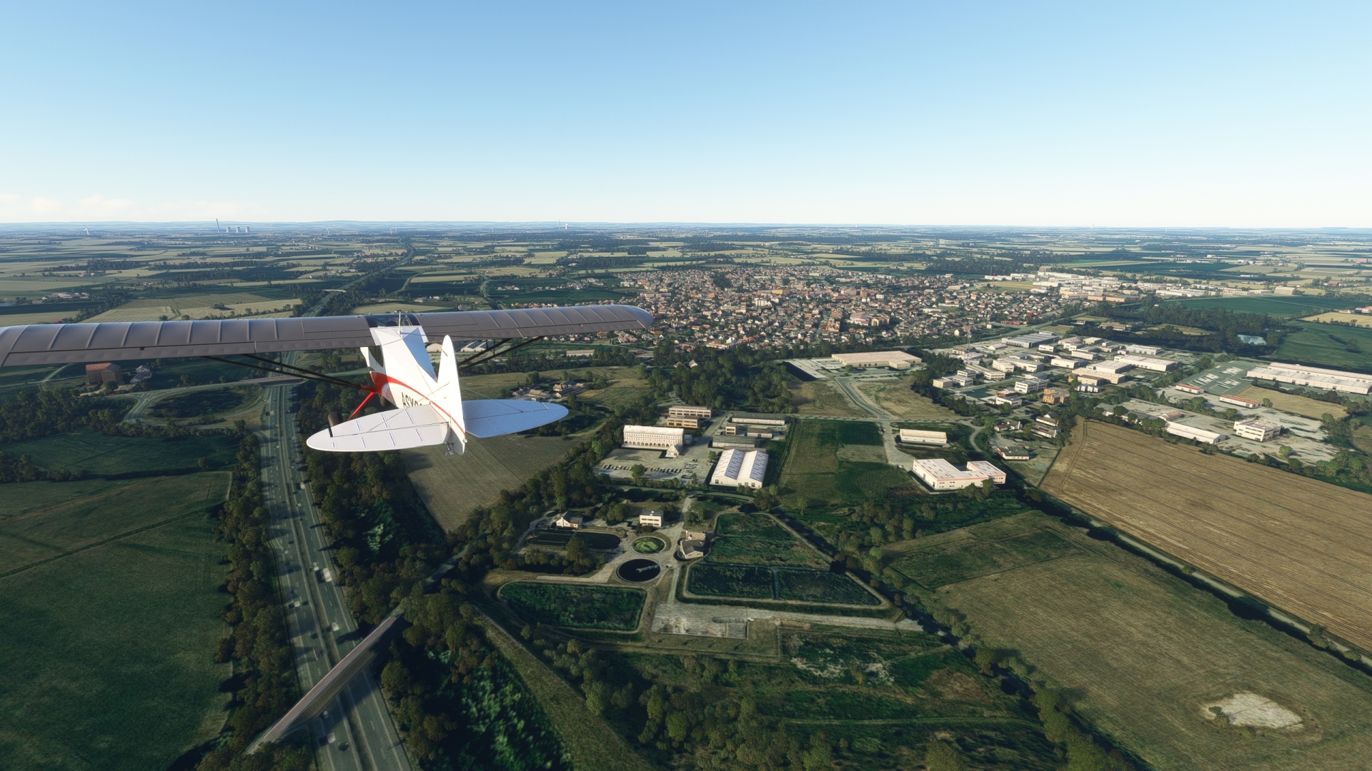
Ascheberg(POI49) to Kamen-Heeren Airfield(EDKK)
Distance: 12.67NM Bearing: 164° 6 minutes
Continue following Autobahn 1, passing over the river Lippe and then gain a visual on the Kamener Kreuz interchange, where Autobahns 1 and 2 intersect. Land at Kamen-Heeren Airfield, located directly southeast of the interchange.

Leg 15
Kamen-Heeren Airfield to Dusseldorf
Leg Distance: 60.41 Approximate time at 125kts: 29 minutes.
Kamen-Heeren Airfield(EDKK) to Dortmund-Unna Interchange(POI50)
Distance: 4.51NM Bearing: 202° 2 minutes
Now in the historic Ruhr region of Germany, lift into the sky and track the Autobahn 1 to the Dortmund-Unna junction, where the A44 and Bundesstraße 1 join Autobahn 1.
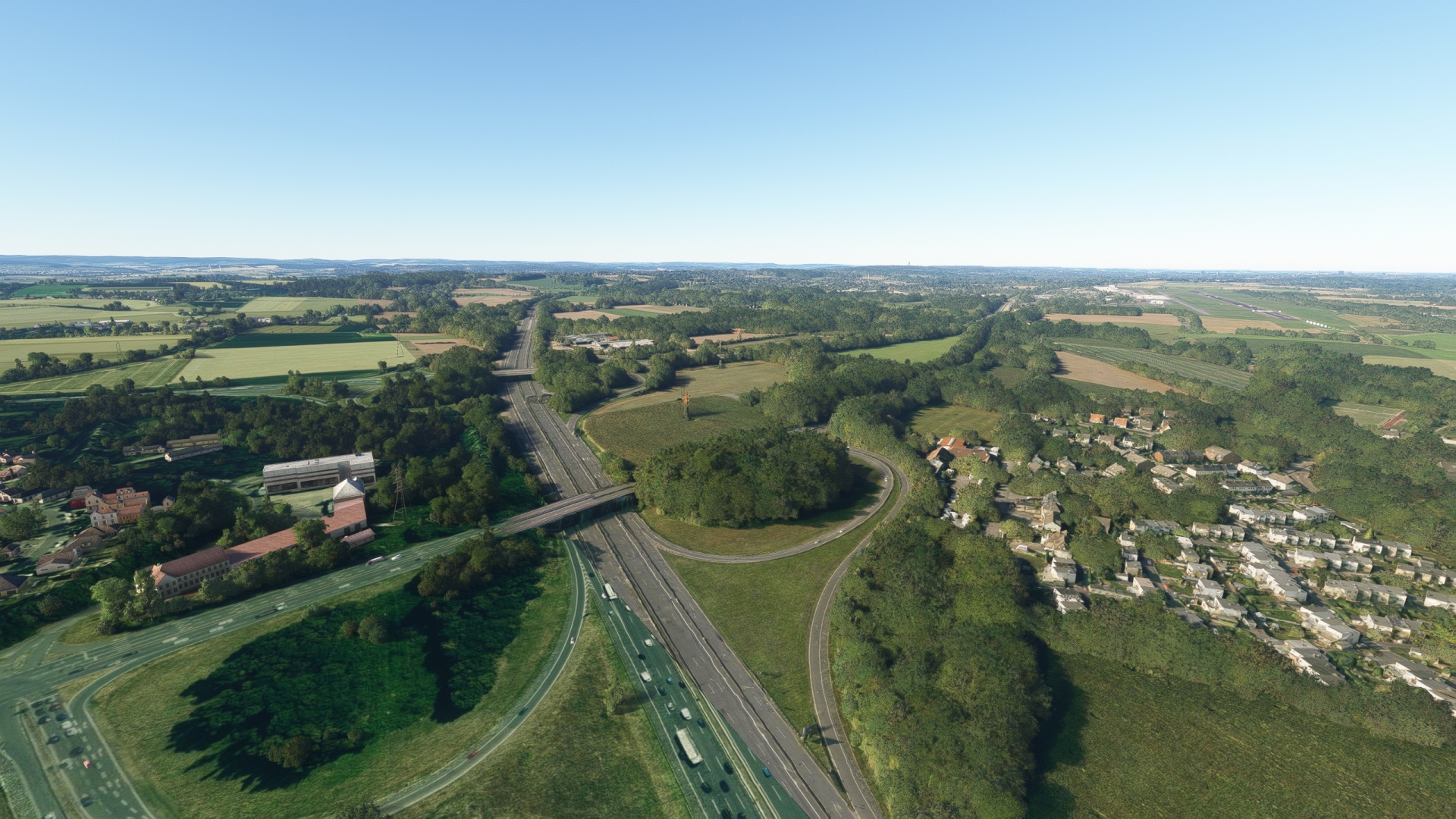
Dortmund-Unna Interchange(POI50) to Dortmund(POI51)
Distance: 7.75NM Bearing: 255° 4 minutes
Turn west over the Dortmund-Unna junction and follow the Bundesstraße 1 to the city of Dortmund. The city is home to the Signal Iduna Park (formerly Westfalenstadion), which has hosted several international soccer tournaments, including the 1974 World Cup and the 2006 World Cup.
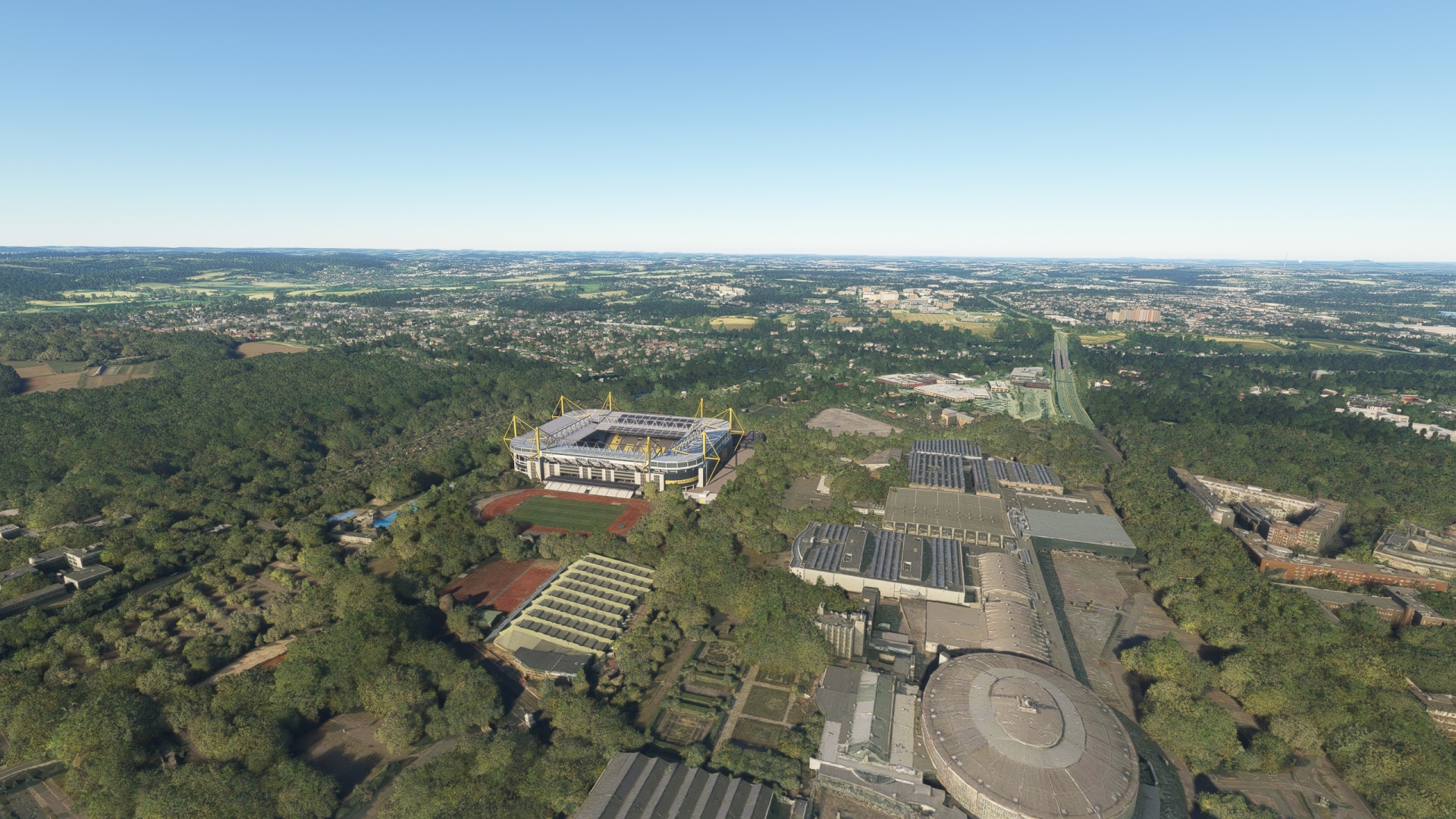
Dortmund(POI51) to Dortmund West Interchange(POI52)
Distance: 2.65NM Bearing: 269° 1 minutes
Continue to the west and pass over the Dortmund-West junction, where Autobahns 40 and 45 intersect.
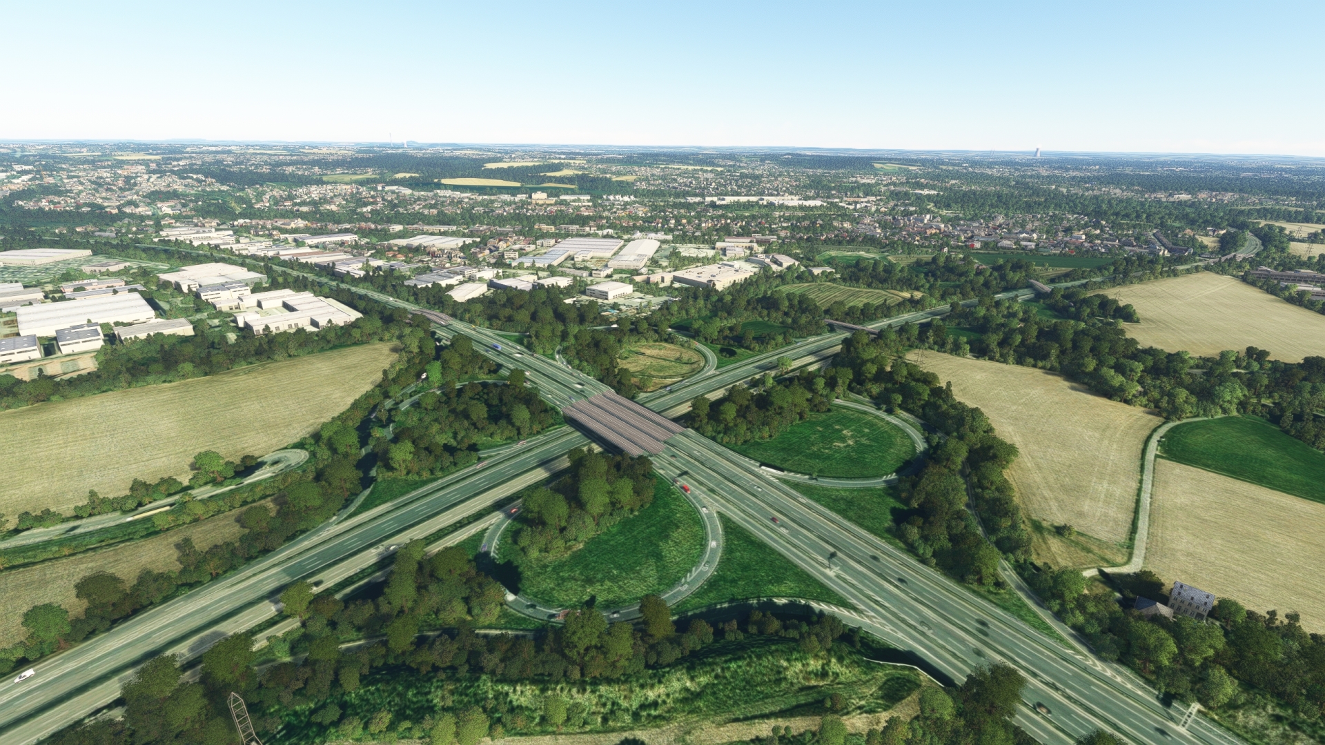
Dortmund West Interchange(POI52) to Dortmund Northwest Interchange(POI53)
Distance: 5.35NM Bearing: 349° 3 minutes
Turn north at the Dortmund West junction and follow the Autobahn 45 to the junction with Autobahn 2, the Dortmund-Nordwest junction.
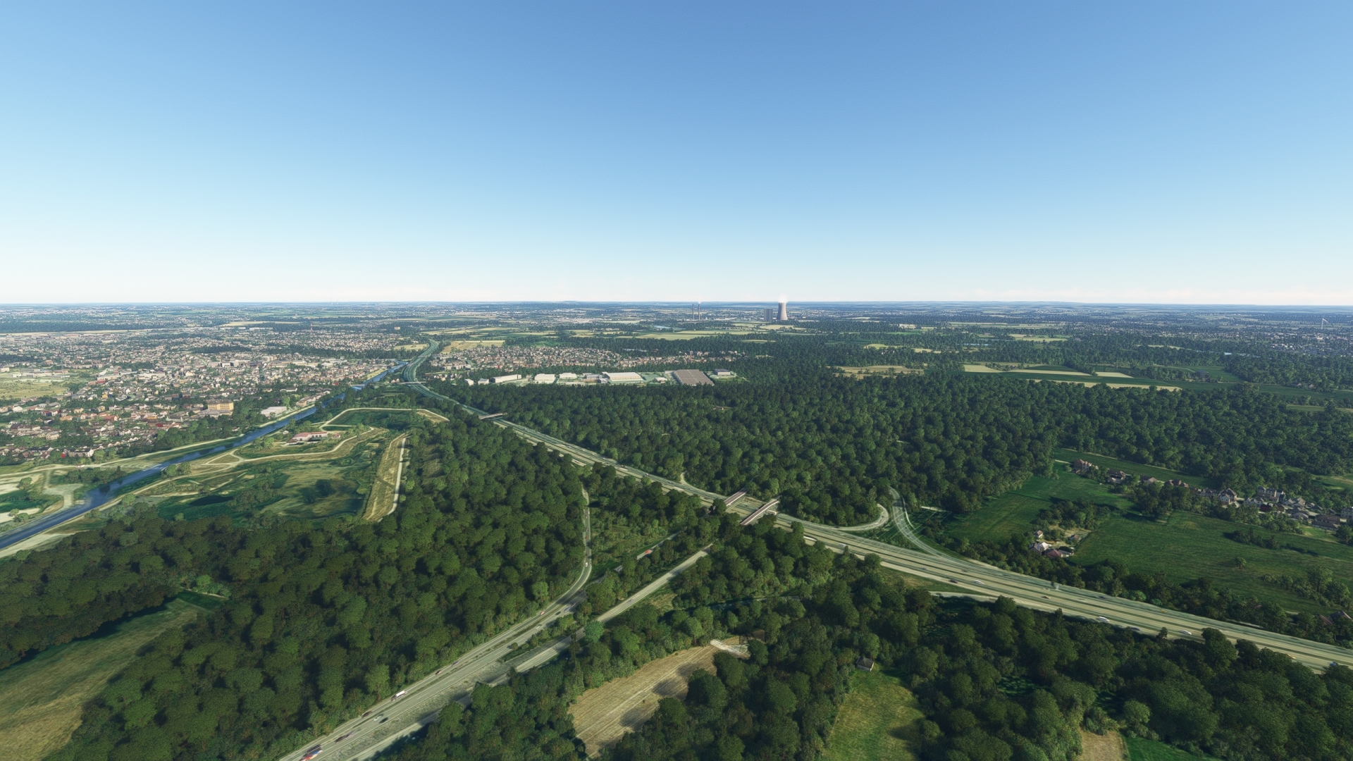
Dortmund Northwest Interchange(POI53) to Gelsenkirchen(POI54)
Distance: 11.08NM Bearing: 259° 5 minutes
Turn west and follow the Autobahn 2 via the junction with the Autobahn 43 until the Bundesstraße 226 crosses the Autobahn 2. You are now in a district of Gelsenkirchen, in Gelsenkirchen Nord. The Veltins-Arena, which is the most visited soccer stadium in Germany, is located directly behind the Bundesstraße 226.

Gelsenkirchen(POI54) to Oberhausen Interchange(POI55)
Distance: 8.98NM Bearing: 258° 4 minutes
Stay on course and follow the Autobahn 2 to the Oberhausen junction, where Autobahns 3 and 516 join the Autobahn 2.

Oberhausen Interchange(POI55) to Rhine(POI56)
Distance: 5.14NM Bearing: 260° 2 minutes
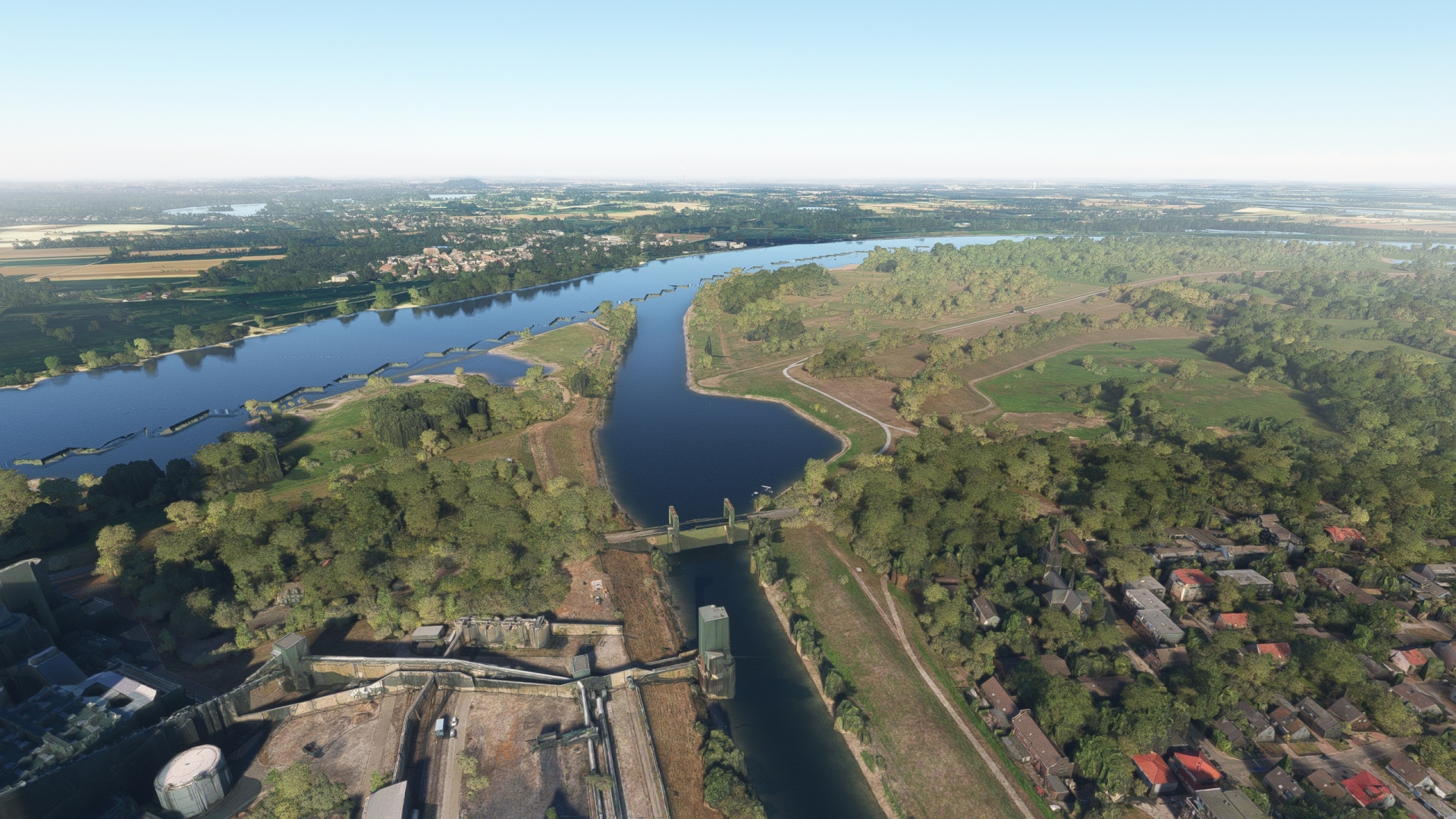
Maintain your course and gain a visual on the Rhine, the longest river in Germany and one of the world’s most famous waterways. The Rhine has played an integral role in Germany’s history, notably since the Romans. Numerous villages, towns, and cities lie along the river, including five European megacities within the Rhine-Ruhr region.
Meet the Rhine near the small town of Orsoy, located on the western bank of the river, then turn south to begin following this storied waterway.
Rhine(POI56) to ThyssenKrupp(POI57)
Distance: 2.41NM Bearing: 177° 1 minutes
A large industrial area, the Thyssen-Krupp steelworks, Germany’s largest steel manufacturer, is located just south of the first bend of the river south of Orsoy.

ThyssenKrupp(POI57) to Duisburg(POI58)
Distance: 3.05NM Bearing: 166° 1 minutes
Continue south, past the confluence of the Ruhr and the Rhine, to reach the city of Duisburg. First mentioned in 883, Duisburg developed into an urban trading hub in the Middle Ages. The city then grew into a vital industrial center in the 19th century. Today, Duisburg supports several industries and is home to the world’s largest inland port.

Duisburg(POI58) to Dusseldorf(EDDL)
Distance: 9.49NM Bearing: 167° 5 minutes
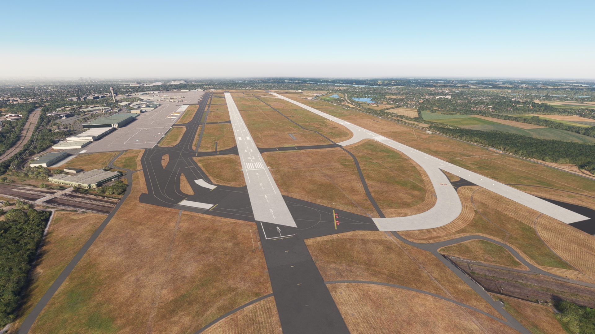
Gain a visual on the city of Düsseldorf and land at Düsseldorf Airport, located on the northern edge of the city just east of highway Bundesstraße 8.
Leg 16
Dusseldorf to Cologne Bonn
Leg Distance: 40.27 Approximate time at 125kts: 19 minutes.
Dusseldorf(EDDL) to Merkur Spiel-Arena(POI59)
Distance: 1.56NM Bearing: 219° 1 minutes
Lift off from Düsseldorf Airport and set a course to the southwest, toward the Rhine, and pass over Merkur Spiel-Arena. The facility, located on the eastern bank of the Rhine, is a soccer stadium with a retractable roof.

Merkur Spiel-Arena(POI59) to Dusseldorf(POI60)
Distance: 2.38NM Bearing: 139° 1 minutes
Düsseldorf, the capital of the state of North Rhine-Westphalia, is the sixth largest city in Germany and one of Europe’s most important economic centers. The city is a hub for several industries, including advertising, media, communications technology, fashion, chemicals, and automotive.

Dusseldorf(POI60) to Joseph Cardinal Frings Bridge(POI61)
Distance: 2.34NM Bearing: 213° 1 minutes
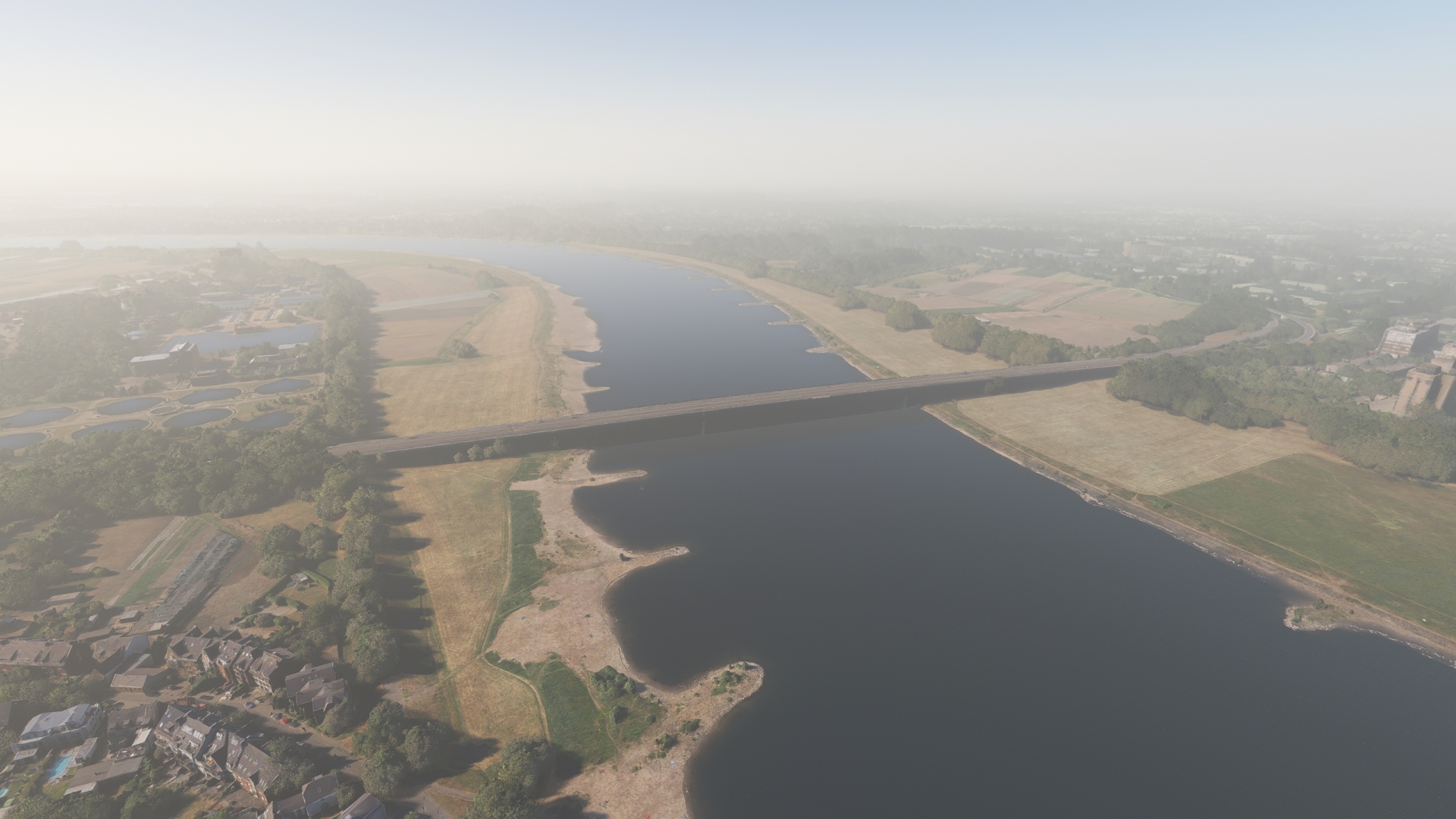
Once south of the city center of Düsseldorf, pass over the Joseph Cardinal Frings Bridge, which spans the Rhine. The bridge was named for Joseph Frings, Archbishop of Cologne from 1942 to 1969, who vehemently opposed Nazism during World War II.
Joseph Cardinal Frings Bridge(POI61) to Cologne – Muhlheim Bridge(POI62)
Distance: 17.23NM Bearing: 142° 8 minutes
As you continue south along the Rhine, you will reach the Mühlheim Bridge near the city of Cologne. Cologne is the fourth largest city in Germany and the most populous in the federal state of North Rhine-Westphalia. The city boasts more than 2,000 years of history and is home to some of the most renowned works of architecture in Europe, including the Cologne Cathedral. With beginnings in the Roman Empire, Cologne is today a vital center for many industries, including automotive, media, chemical, and automotive. The city is also a major international hub of arts and culture, and hosts “Art Cologne,” the oldest art fair in the world.
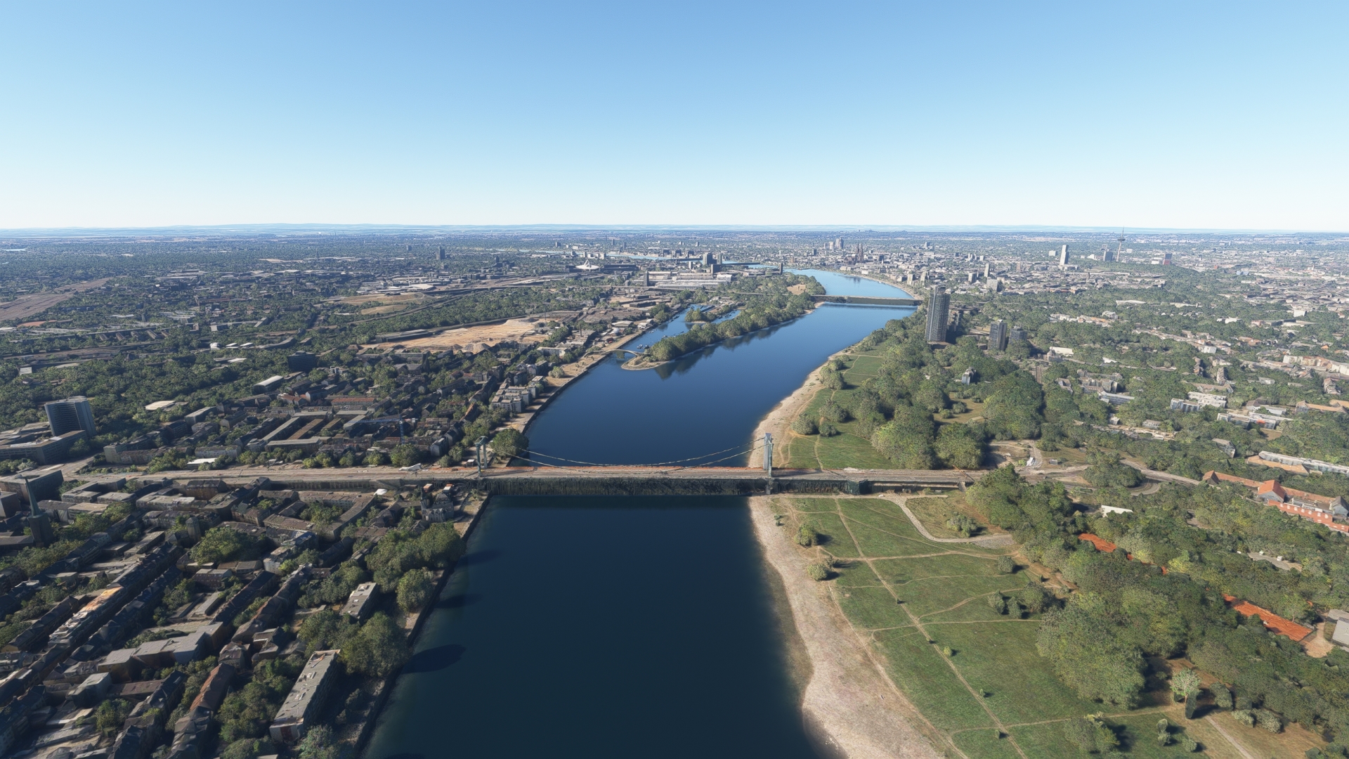
Cologne – Muhlheim Bridge(POI62) to RheinEnergieStadion(POI63)
Distance: 4.83NM Bearing: 245° 2 minutes
Set a course of 245° M over the Mühlheim Bridge and fly to RheinEnergieStadion, located just to the west of the Rhine. The stadium is a multi-use complex and hosts soccer and other games as well as music concerts, meetings, and corporate events.
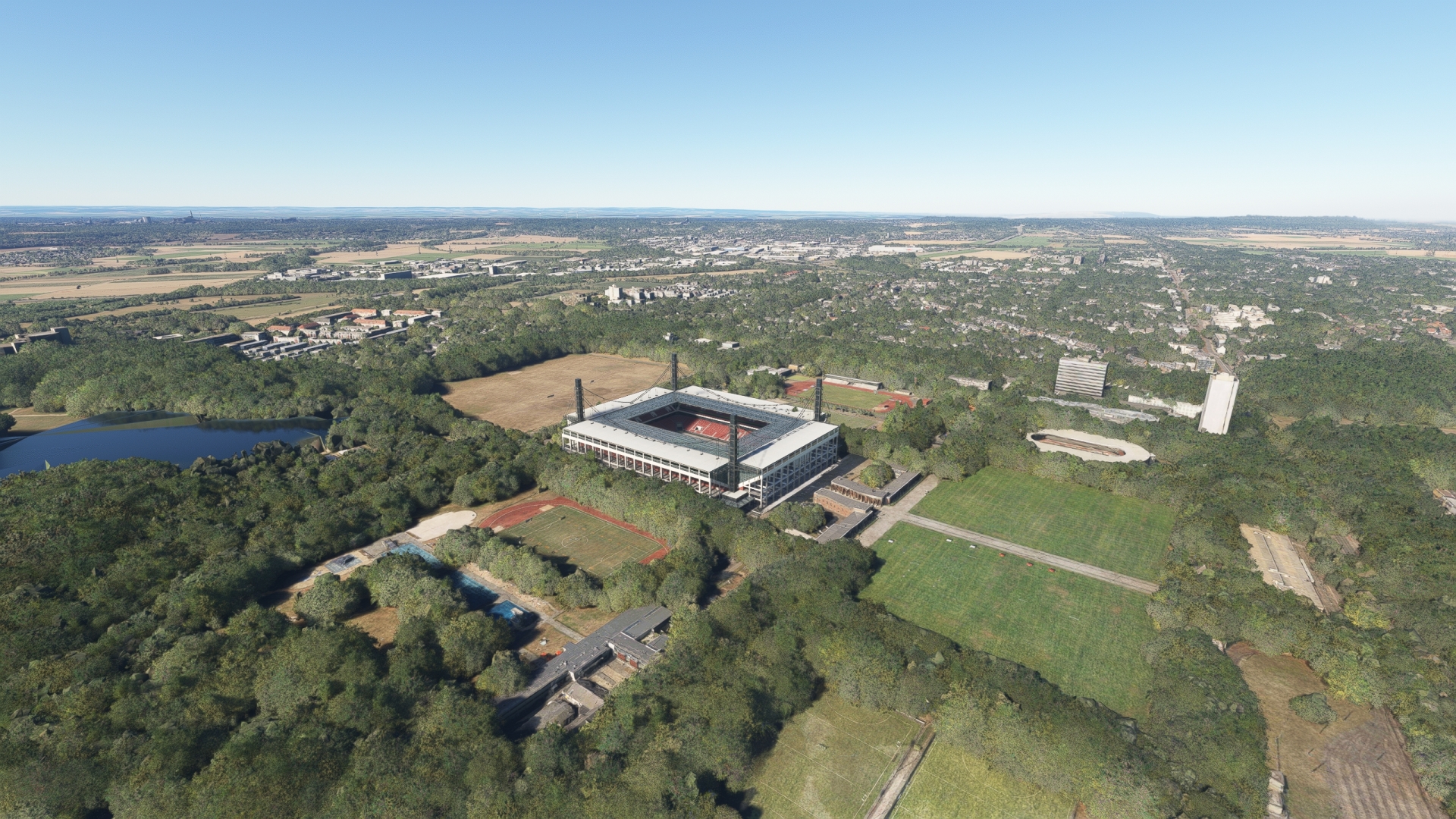
RheinEnergieStadion(POI63) to Cologne Cathedral(POI64)
Distance: 3.06NM Bearing: 78° 1 minutes
Turn back toward the Rhine and fly over the center of Cologne to visit Cologne Cathedral, one of the most impressive works of architecture in history. The cathedral is the tallest twin-spired church in the world, the second tallest church in Europe, and the third tallest church in the world. Named a World Heritage Site by the United Nations in 1996, Cologne Cathedral is the most visited landmark in Germany and is iconic of Gothic architecture and German Catholicism.

Cologne Cathedral(POI64) to Hohenzollern Bridge(POI65)
Distance: 0.31NM Bearing: 90° 0 minutes
Pass over the Hohenzollern Bridge, located just easterly of Cologne Cathedral. The bridge is the busiest railway span in Germany and an integral part of Cologne’s cityscape.
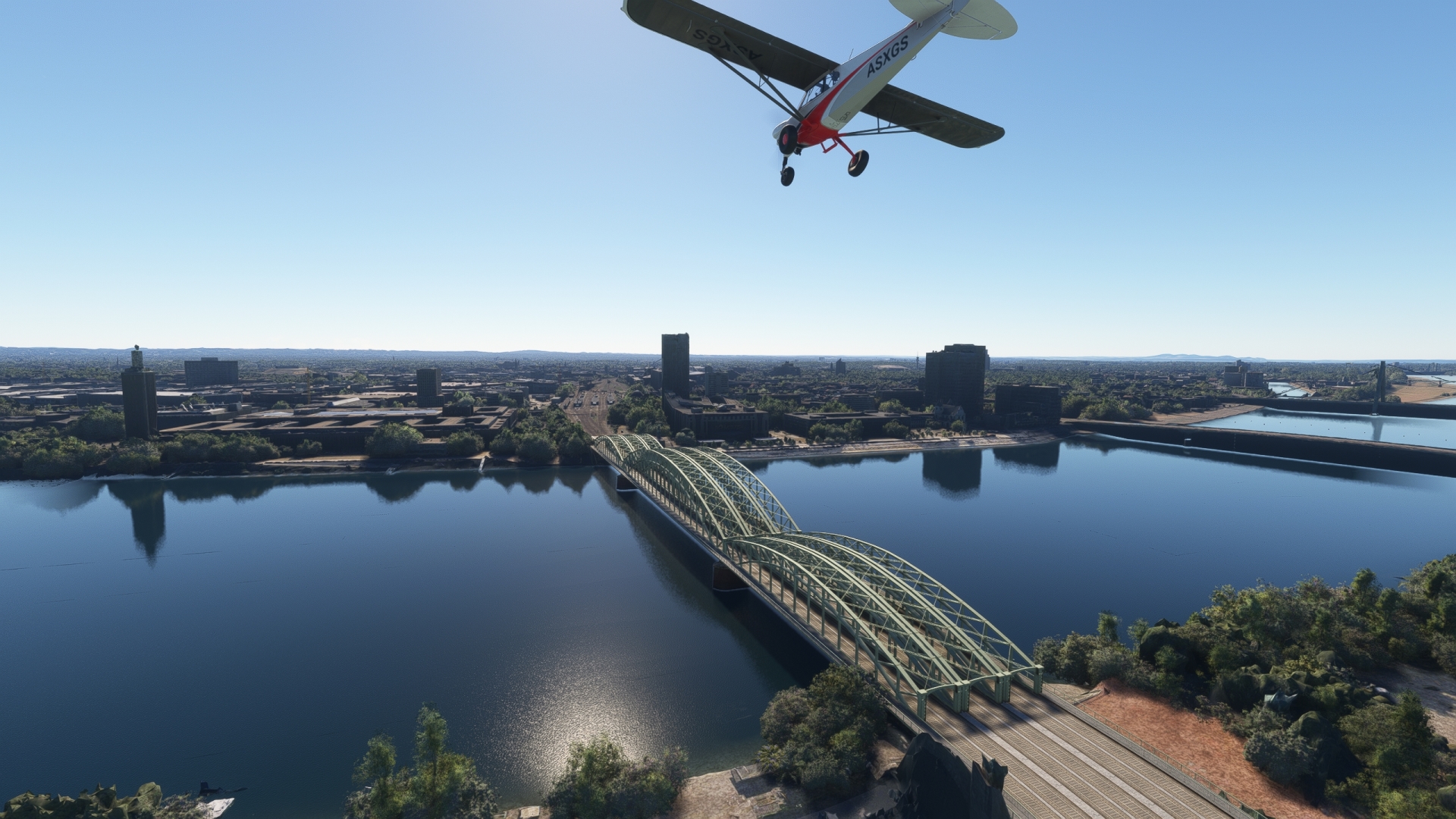
Hohenzollern Bridge(POI65) to Deutzer Bridge(POI66)
Distance: 0.31NM Bearing: 168° 0 minutes
Pass over the Deutzer Bridge, located immediately south of the Hohenzollern Bridge. The span is one of the most distinctive and striking landmarks along the Rhine.
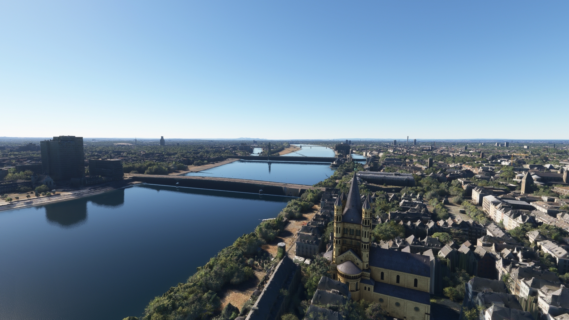
Deutzer Bridge(POI66) to South Bridge(POI67)
Distance: 1.19NM Bearing: 160° 1 minutes
Continue over the Rhine to the South Bridge, a railroad span that is also open to pedestrians and cyclists.
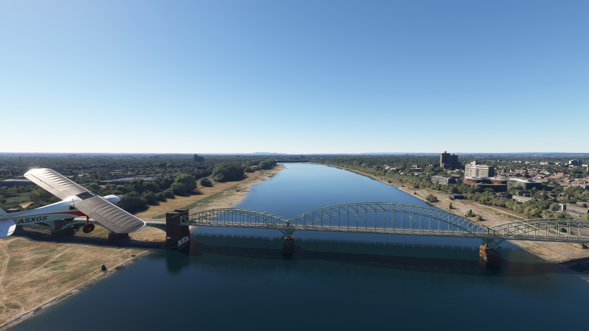
South Bridge(POI67) to Cologne Bonn(EDDK)
Distance: 7.06NM Bearing: 113° 3 minutes
Turn south-east, leave the Rhine at the next bend in the river and land at Cologne Bonn Airport.

Leg 17
Cologne Bonn to Winningen
Leg Distance: 41.99 Approximate time at 125kts: 20 minutes.
Cologne Bonn(EDDK) to Bonn(POI68)
Distance: 7.91NM Bearing: 188° 4 minutes
Lift off into the sky at Cologne Bonn Airport and set a course to the west-southwest to return to the Rhine and visit the city of Bonn. Bonn anchors the southern extremity of the Rhine-Ruhr region of Germany and is today a major university city and important center for the communications industry. Founded as a Roman settlement, Bonn is one of Germany’s most culturally and historically significant cities. It is the birthplace of composer Ludwig van Beethoven, was the capital of West Germany from 1949 until 1990, and was the capital of reunited Germany from 1990 until 1999.
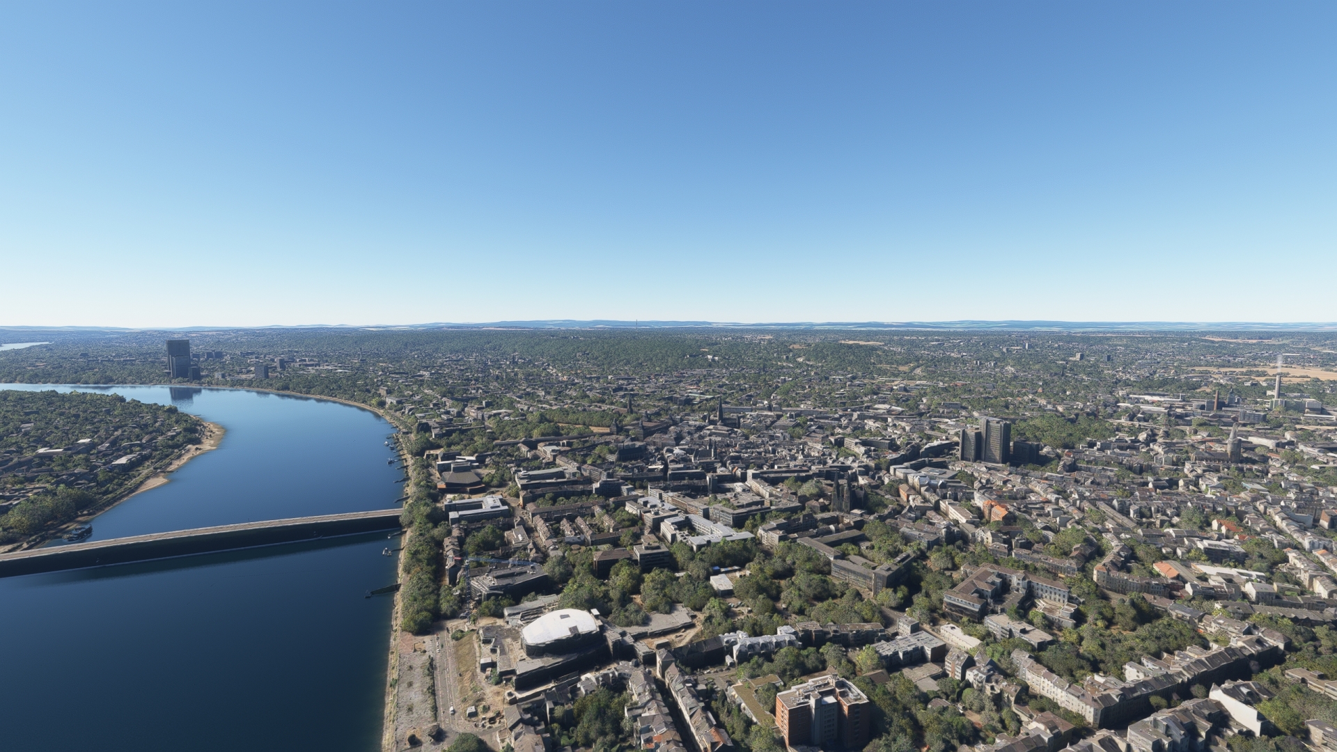
Bonn(POI68) to Drachenburg Castle(POI69)
Distance: 5.66NM Bearing: 133° 3 minutes
Cross to the eastern side of the Rhine and fly above the eastern bank to view Drachenburg Castle, built atop a high point on the Siebengebirge (Sieben Mountains).

Drachenburg Castle(POI69) to Remagen(POI70)
Distance: 5.44NM Bearing: 164° 3 minutes
Remagen, located on the western bank of the Rhine, was a pivotal location during World War II when the U.S. Army captured the Ludendorff Bridge in March of 1945, allowing the first crossing of the Rhine. The bridge collapsed on March 17, 1945, due to demolition attempts by the German military, fighting, and crossing by heavy equipment including tanks and artillery units.

Remagen(POI70) to Deutsches Eck(POI71)
Distance: 19.13NM Bearing: 129° 9 minutes
Traverse a long section of the Rhine without any prominent curves along its course then pass some bends around the cities of Neuwied and Bendorf. Fly over the long, low island of Graswerth and the neighboring island Niederwerth, then come to one of the Rhine’s most famous monuments, Deutches Eck, German Corner. The triangular-shaped, concrete headland is located at the confluence of the Moselle and Rhine rivers and is best known as the location of an equestrian statue of the first German emperor, Wilhelm I, installed in 1897. The original statue was destroyed during World War II and a replica was placed at the location in 1993.

Deutsches Eck(POI71) to Winningen(EDRK)
Distance: 3.85NM Bearing: 228° 2 minutes
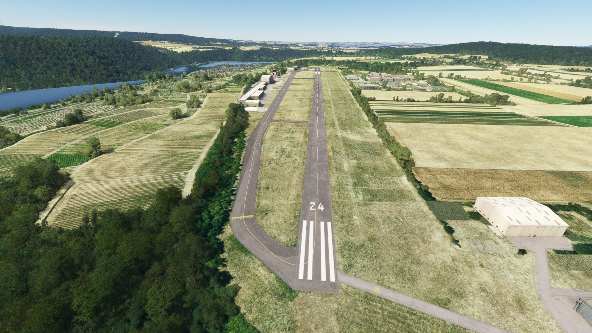
Track the course of the Moselle to the southwest of the Deutsches Eck and land at Koblenz-Winningen Airport, located on the west side of the river.
Leg 18
Winningen to Frankfurt/Main
Leg Distance: 66.34 Approximate time at 125kts: 32 minutes.
Winningen(EDRK) to Katz Castle(POI72)
Distance: 12.75NM Bearing: 141° 6 minutes
Return to the sky and track the course of the Rhine to the southeast to visit the Rhine Gorge, also known as the Upper Middle Rhine Valley. Declared a World Heritage Site by the United Nations in 2002, the Rhine Gorge is one of Germany’s most beautiful regions and is one of Europe’s most historically important transit routes. One of the most spectacular landmarks in the Rhine Gorge is Katz Castle, located on the eastern bank of the Rhine just south of the town of St. Goarshausen. The castle, initially built in the 1300s, was destroyed by Napoleon in 1806 and rebuilt in the latter 19th century. Overlooking the Rhine, it ranks among the most impressive sights to explore along the Rhine.

Katz Castle(POI72) to Lorelei(POI73)
Distance: 0.79NM Bearing: 151° 0 minutes
Located on the eastern shore of the Rhine less than a mile south of Katz Castle, Lorelei is a rock promontory that stands over 400 feet above the river. Rapids just upstream of the feature have caused several fatal accidents through the centuries. The name derives from old German words meaning “murmuring rock,” likely due to echoes within the canyon of the sounds of rushing water. The imposing form of the dark buttress, shipping disasters, and sounds in the region have inspired numerous myths about the rock and the area over which it looms.
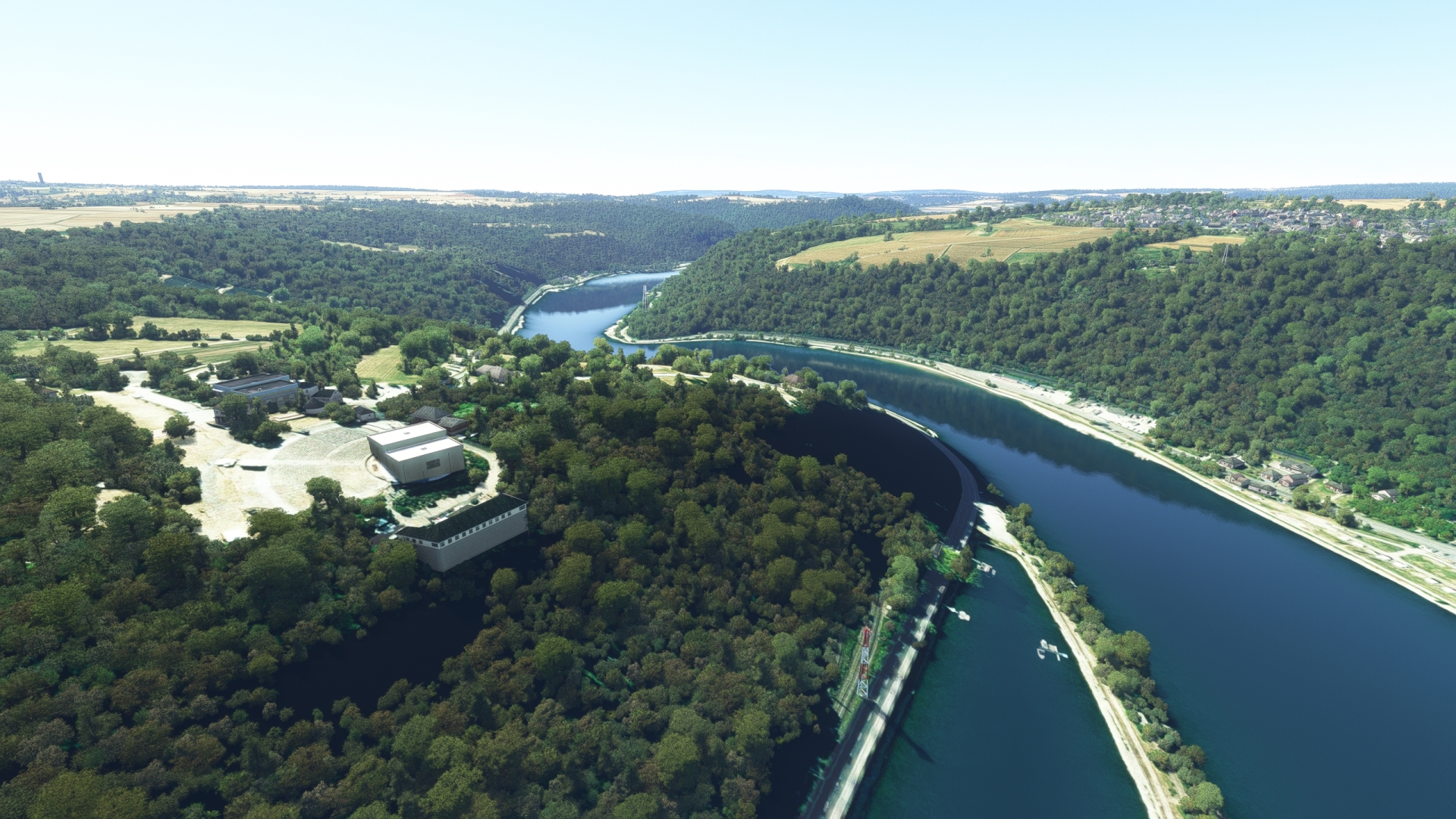
Lorelei(POI73) to Niederwald Monument(POI74)
Distance: 11.58NM Bearing: 142° 6 minutes
Continue flying above the eastern bank of the Rhine to a point where its course makes a sharp bend to the east. Niederwald Monument, built in the late 1800s to celebrate the unification of Germany, overlooks this spectacular section of the Rhine Gorge.
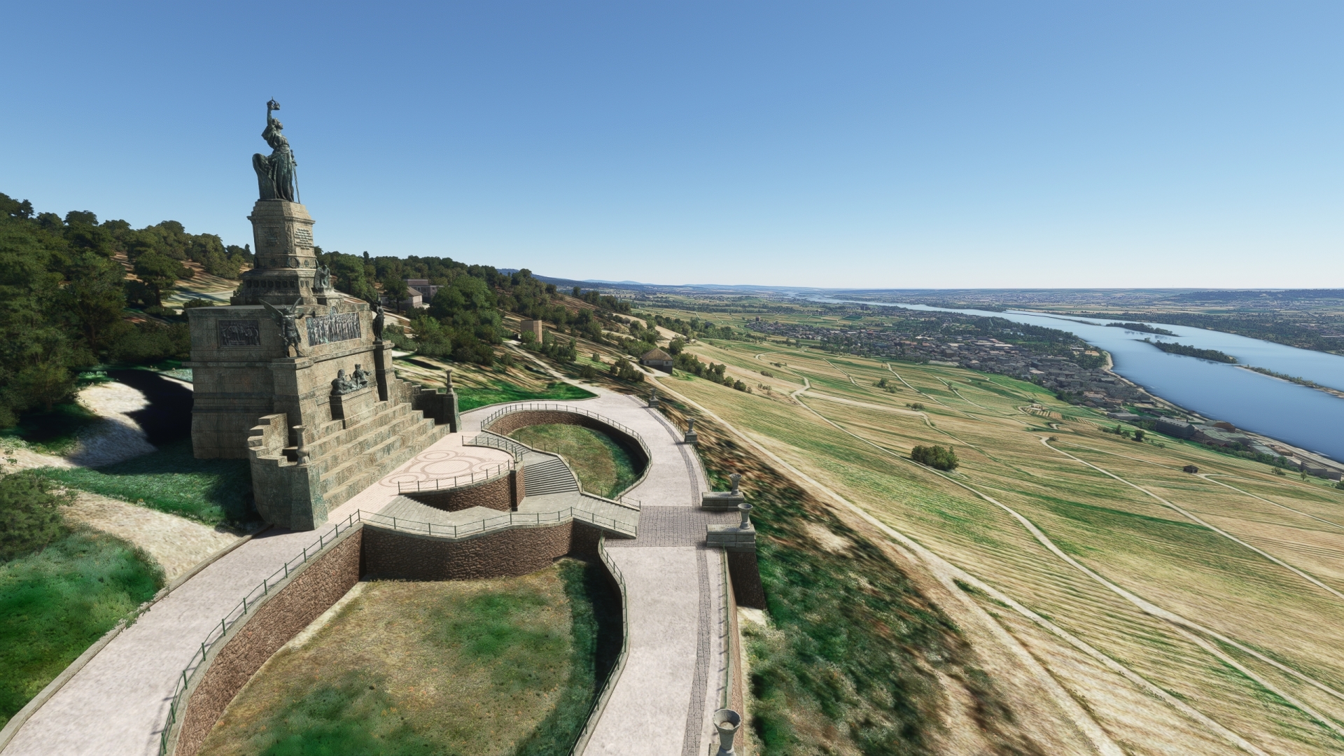
Niederwald Monument(POI74) to Bingen(POI75)
Distance: 0.87NM Bearing: 157° 0 minutes
Cross the Rhine from Niederwald Monument to visit the town of Bingen, location of the starting point of Via Ausonia, an important military road during the Roman Empire. Bingen is also the place where the famous Saint Hildegard worked, who is known for her monastic medicine and as an unversal scholar.
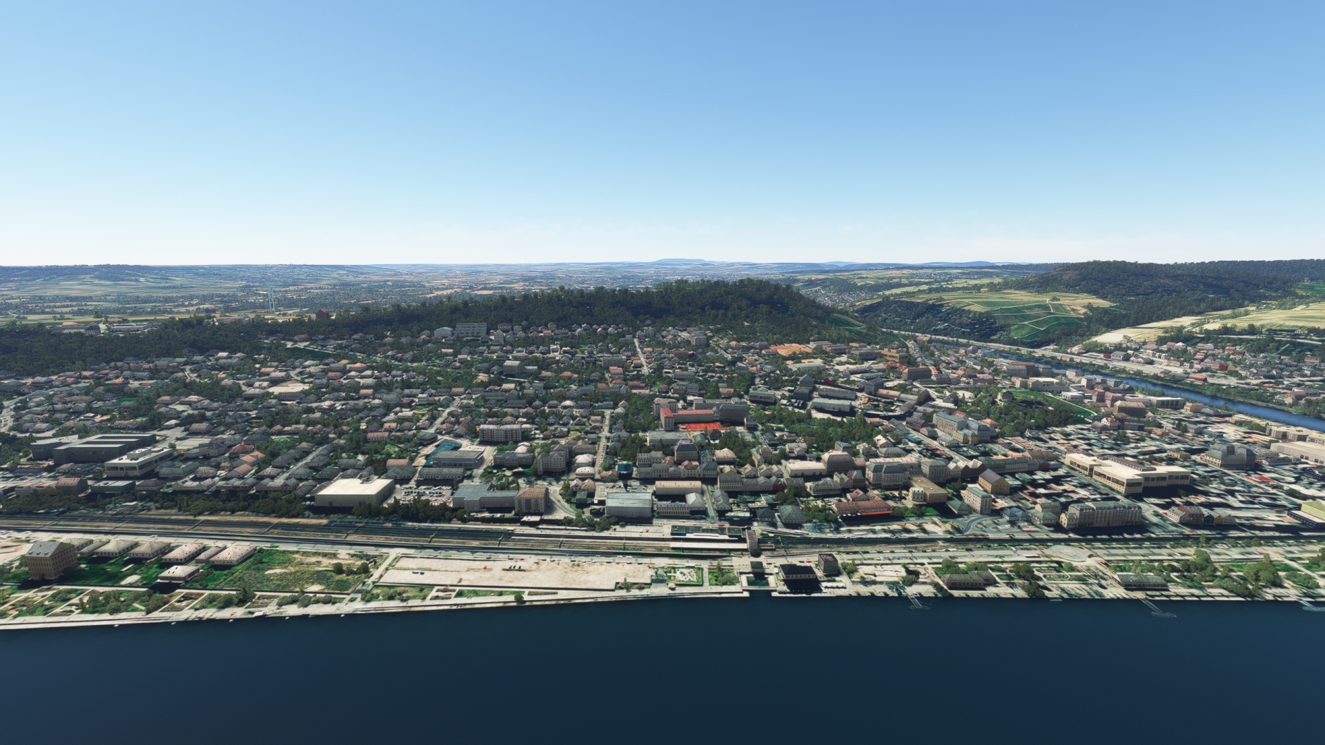
Bingen(POI75) to Wiesbaden(POI76)
Distance: 12.8NM Bearing: 64° 6 minutes
Follow the river along its course to the east-northeast from Bingen to the city of Wiesbaden, where the Rhine begins a gentle turn to the south-southeast. Wiesbaden is the capital of the German state of Hesse and its second most populous city. Wiesbaden has a long and storied history, beginning before the arrival of the Romans. It is known for its hot springs in its city center and regional vineyards of the Rheingau, one of Germany’s wine regions.
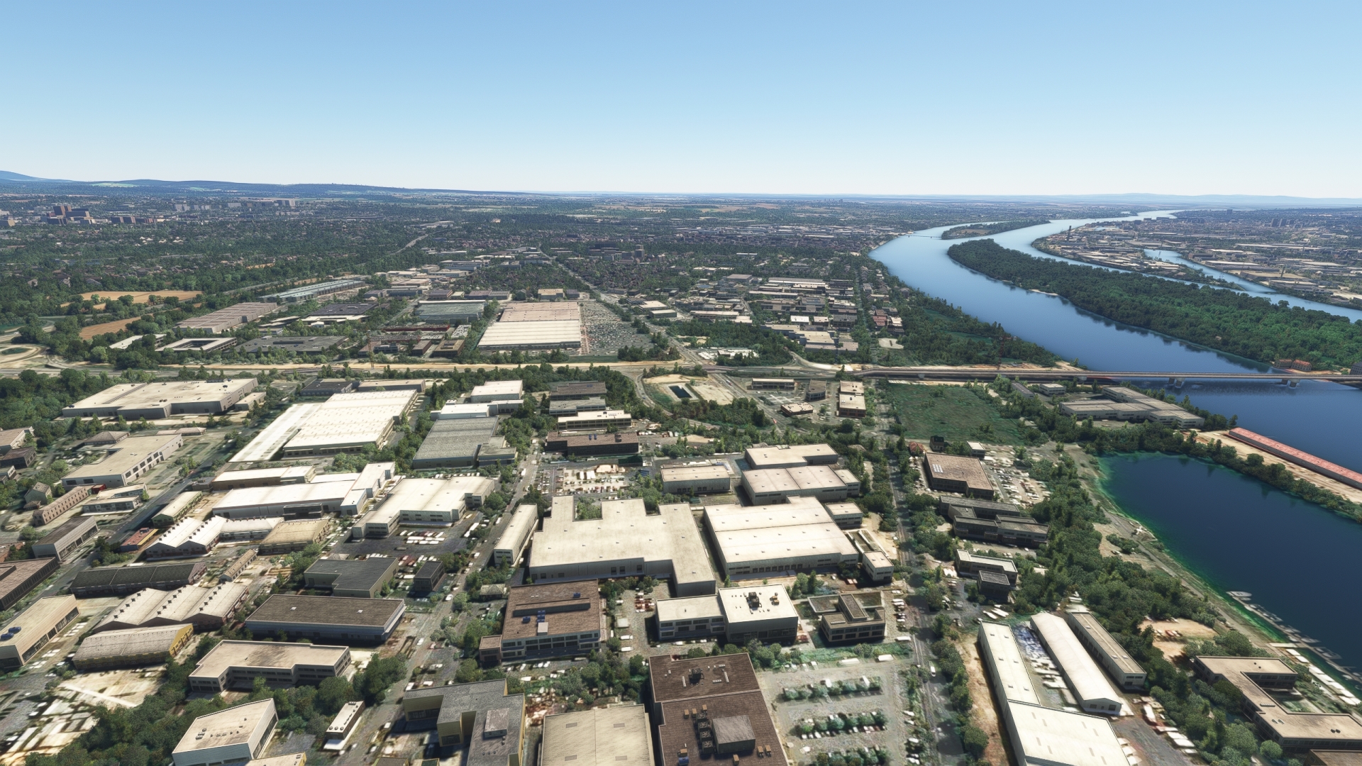
Wiesbaden(POI76) to Mainz(POI77)
Distance: 3.43NM Bearing: 147° 2 minutes
Follow the gentle bend of the Rhine to the south-southeast after visiting Wiesbaden and cross to the river’s western bank. Pass over the border of the German state of Rhineland-Palatinate and visit the state’s capital and most populous city, Mainz. Founded in Roman times, the city is home to Johannes Gutenberg University, the Roman Catholic diocese of Mainz, and several television and radio stations.
Johannes Gutenberg invented the movable-type printing press in Mainz in the early 1440s, sparking the Printing Revolution, one of the most important movements in human history and one of the key elements of the Renaissance.

Mainz(POI77) to Frankfurt(POI78)
Distance: 17.61NM Bearing: 64° 8 minutes
Continue south along the Rhine from Mainz to the confluence of the Main River, marked by a bridge. Follow the Main to the east-northeast to the city of Frankfurt, the most populous city in Hesse and one of Europe’s most important financial centers. Frankfurt is home to the European Central Bank, the Deutsche Bundesbank, and the Frankfurt Stock Exchange, among other institutions. The city boasts a diverse history that stretches back at least to the Middle Ages and today is a major cultural hub as well as a center of commerce and industry. Frankfurt has a renowned skyline with a mix of architecture from the classic to the ultra-modern. The city is home to the fifteen tallest buildings in Germany, including Commerzbank Tower, which was the tallest building in Europe from 1997 to 2003.
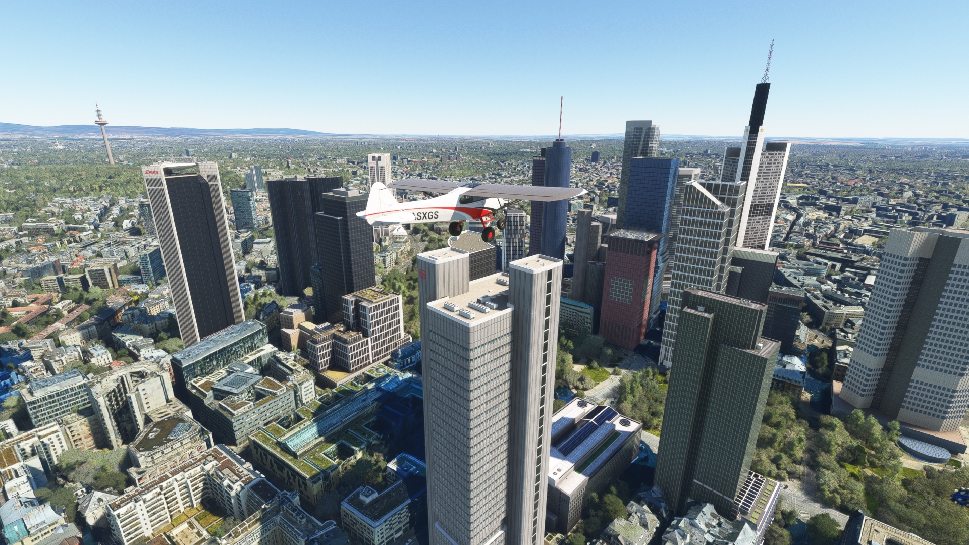
Frankfurt(POI78) to Deutsche Bank Park(POI79)
Distance: 2.93NM Bearing: 203° 1 minutes
After visiting the many sights of Frankfurt, cross the Main and visit Deutsche Bank Park, located on the south of the Main River. Previously called Commerzbank Arena, the venue first opened in 1925 and has been upgraded several times over the ensuing decades.
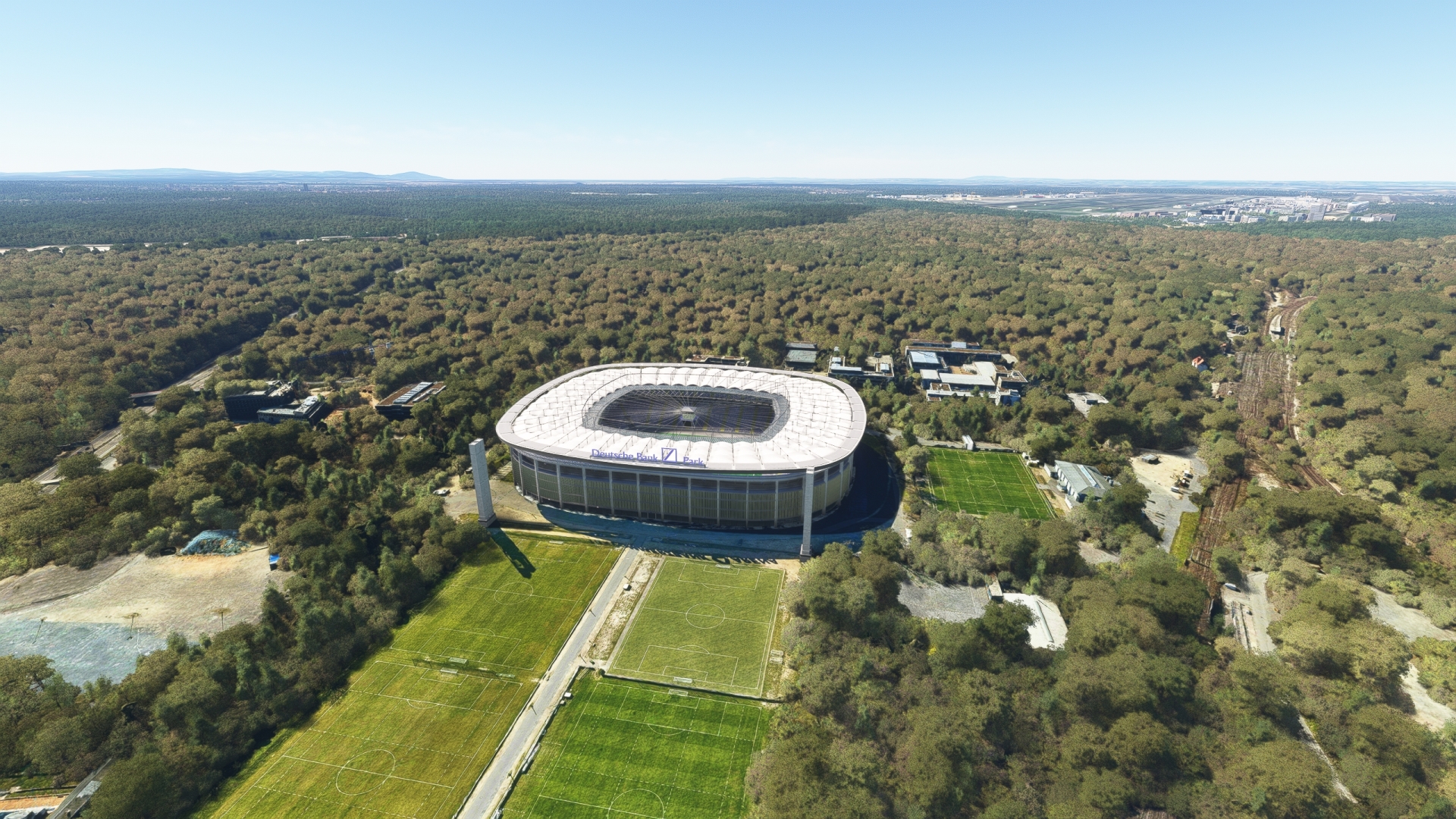
Deutsche Bank Park(POI79) to Frankfurt/Main(EDDF)
Distance: 3.58NM Bearing: 230° 2 minutes
Land at Frankfurt Airport, located to the southwest of Deutsche Bank Park.
Frankfurt Airport is Germany’s largest commercial airport. With 70.6 million passengers in 2019, it was the fourth largest European airport in terms of passenger volume after London-Heathrow, Paris-Charles-de-Gaulle and Amsterdam Schiphol and ranks 15th worldwide. With over 2 million tons, Frankfurt Airport has the largest cargo volume of all European airports and ranks 13th worldwide. The airport is the home base and main hub of the airlines Lufthansa and Condor Flugdienst as well as the cargo airline Lufthansa Cargo.
One month after the end of the first International Airship Exhibition, the world’s first airline, Deutsche Luftschifffahrt-Aktiengesellschaft (DELAG), was founded in Frankfurt on November 16, 1909. In 1912, it opened the airship port at Rebstock, later to become Frankfurt-Rebstock Airport. Frankfurt Airport was first opened in the mid-1930s to support both airships and fixed-wing airplane operations.

Leg 19
Frankfurt/Main to Mannheim City
Leg Distance: 39.91 Approximate time at 125kts: 19 minutes.
Frankfurt/Main(EDDF) to Labyrinth in the corn field(POI80)
Distance: 15.77NM Bearing: 218° 8 minutes
Ensure that the XCub is fully fueled and set its NAV receiver to VORDME Frankfurt (FFM), 114.20 MHz, and the course pointer to 223°. Take-off, remaining below 1,000 feet AGL, and pass over the Rhine. Prior to reaching the town of Dalheim, pass over a large labyrinth cut into a corn field.
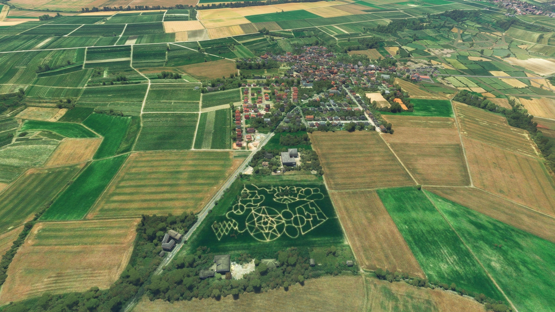
Labyrinth in the corn field(POI80) to Worms(POI81)
Distance: 12.65NM Bearing: 163° 6 minutes
After visiting the labyrinth, set a course to the south-southeast and rejoin the Rhine just north of the city of Worms. Established before the Roman Empire, Worms ranks as one of the oldest population centers in Germany and all of northern Europe. Its name derives from the Celtic words meaning ‘settlement in a watery area.’
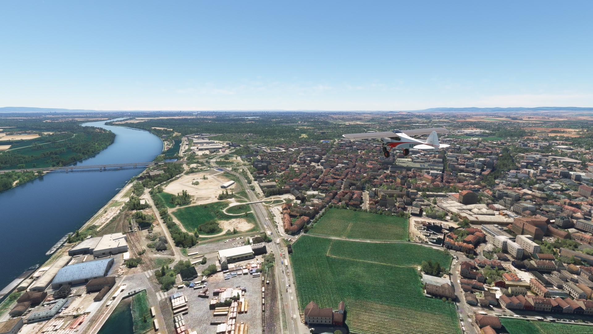
Worms(POI81) to Mannheim(POI82)
Distance: 9.26NM Bearing: 155° 4 minutes
Continue south along the Rhine to Mannheim, renowned as the city of inventors and industrial pioneers. The city, the second most populous in Baden-Württemberg, is an important center of culture, education, and commerce, and boasts 23 universities and 30 research institutions. The Mannheim region is the location of the development of some of the modern world’s most important inventions. These include the bicycle, the modern production automobile (Benz Patent Motor Car), and the first rocket-powered aircraft (Opel RAK.1).
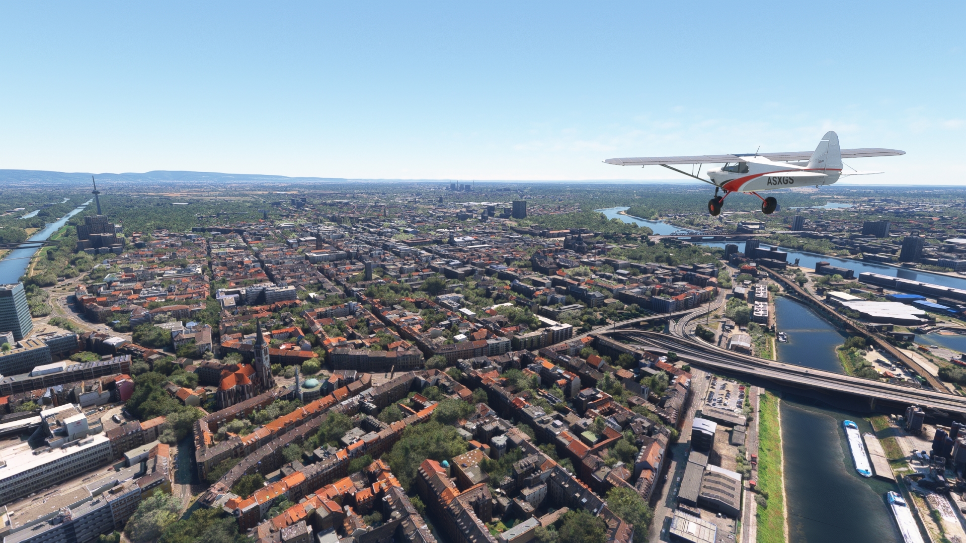
Mannheim(POI82) to Mannheim City(EDFM)
Distance: 2.23NM Bearing: 112° 1 minutes
Land at Mannheim City Airport, located to the southeast of the city center of Mannheim.

Leg 20
Mannheim City to Forchheim
Leg Distance: 34.91 Approximate time at 125kts: 17 minutes.
Mannheim City(EDFM) to Hockenheimring(POI83)
Distance: 8.93NM Bearing: 163° 4 minutes
Lift off and continue the journey by heading to the east-southeast and following Autobahn 6 to Hockenheimring, a famed racing track that has hosted several important competitions, including the German Grand Prix.
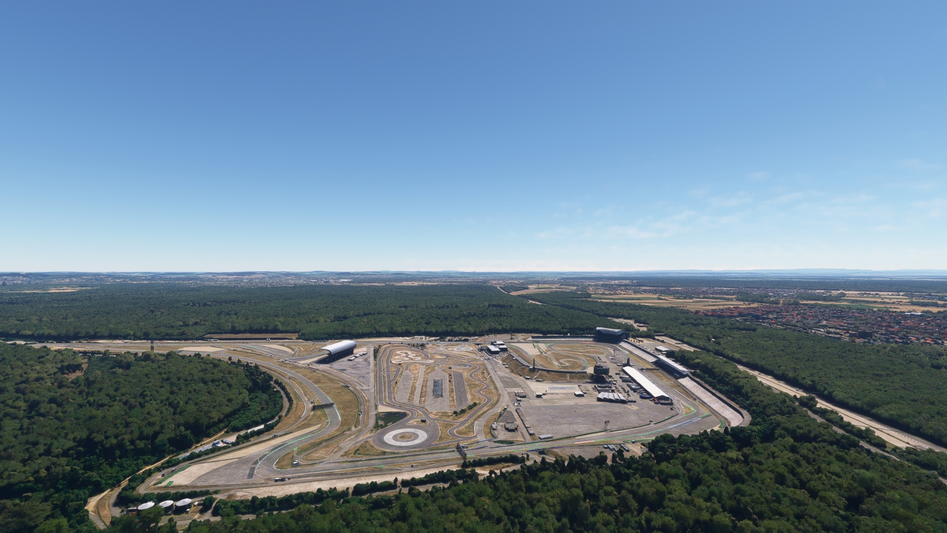
Hockenheimring(POI83) to Speyer(POI84)
Distance: 4.6NM Bearing: 261° 2 minutes
Turn to 261° M over Hockenheimring to visit the town of Speyer, located on the west bank of the Rhine. One of the oldest cities in Germany, Speyer is home to several significant architectural masterpieces, including the largest surviving Romanesque church, Speyer Cathedral.
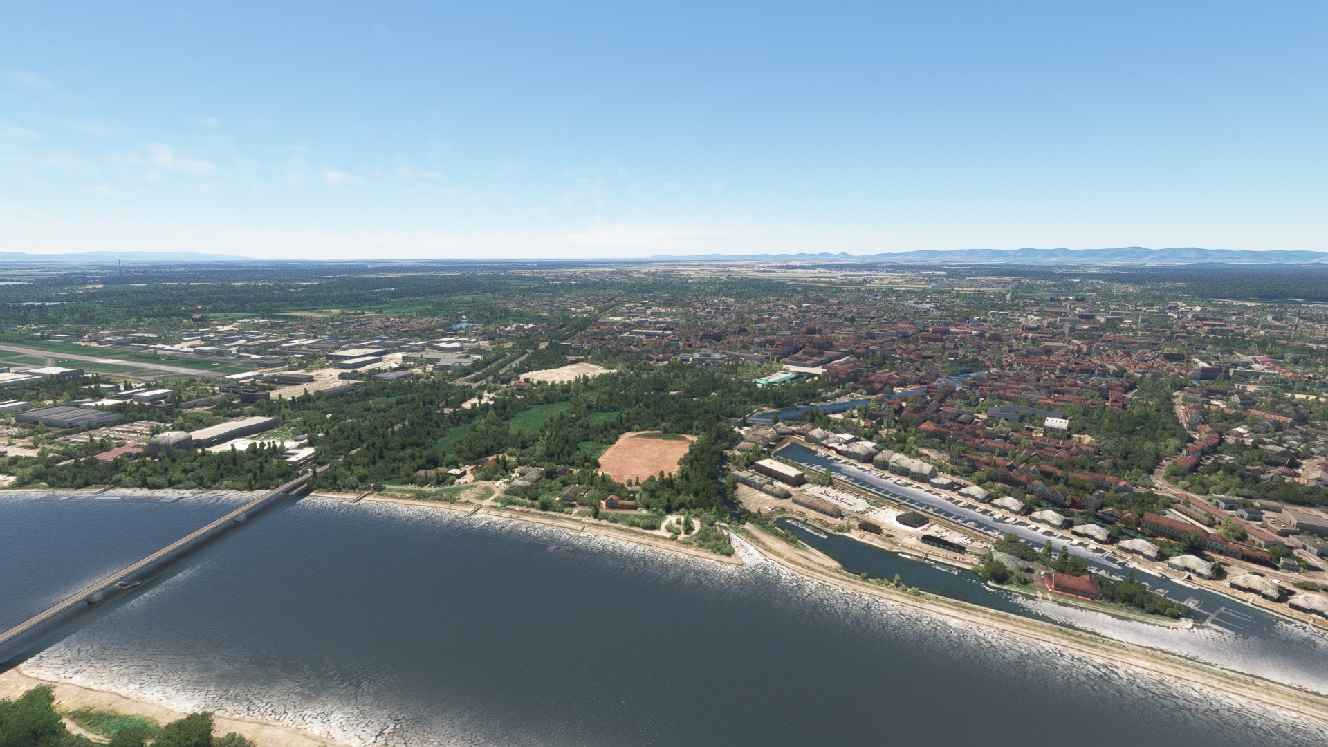
Speyer(POI84) to Karlsruhe(POI85)
Distance: 19.13NM Bearing: 185° 9 minutes
Pass over to the eastern bank of the Rhine on the southward journey and pass over Karlsruhe. Located on the northern edge of the Black Forest near the French Border, Karlsruhe is the seat of the German Federal Constitutional Court and the seat of the Federal Court of Justice. The city, the third most populous in Baden-Württemberg, has a unique layout comprising 32 streets radiating from a central palace tower that resembles a fan from above. Set amid the stunning surroundings of the Black Forest and the Rhine, Karlsruhe is also home to some unforgettable architectural creations. These include the Karlsruhe Palace, Karlsruhe Botanical Gardens, and the State Museum of Baden.

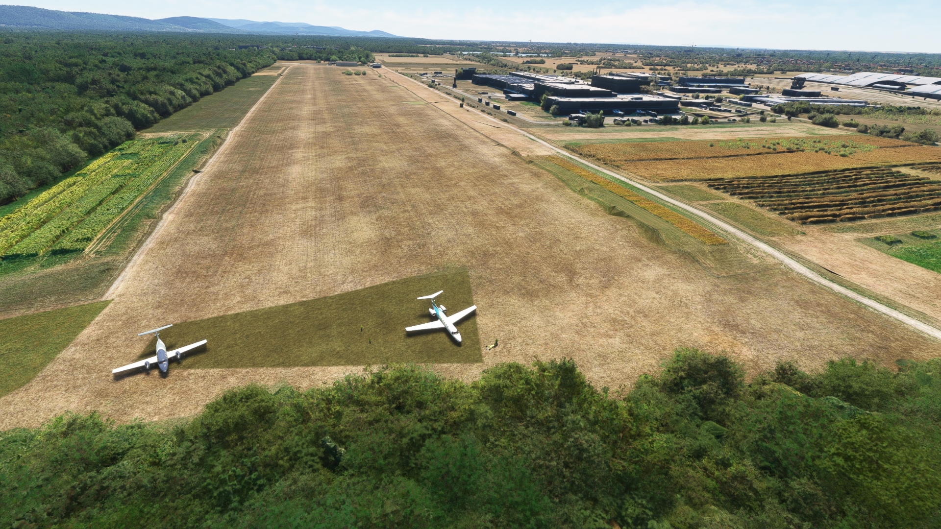
Karlsruhe(POI85) to Forchheim(EDTK)
Distance: 2.25NM Bearing: 219° 1 minutes
Land at the grass strip of Karlsruhe-Forchheim Airport, located southwest of central Karlsruhe.
Leg 21
Forchheim to Bremgarten
Leg Distance: 84.6 Approximate time at 125kts: 41 minutes.
Forchheim(EDTK) to Germanny-France Border(POI86)
Distance: 4.31NM Bearing: 258° 2 minutes
Lift off and fly towards the center of the airport. Set a course of 259° M. You will soon be back over the Rhine, which forms the border between Germany and France along this stretch of river.

Germanny-France Border(POI86) to Strasbourg(POI87)
Distance: 29.4NM Bearing: 216° 14 minutes
Enjoy the views of the Rhine while continuing south along its corridor, including the many small tributaries along this stretch of the river, and pass into France to visit Strasbourg. Strasbourg is a major international city and the seat of several important European institutions, including the European Parliament, the European Ombudsman of the European Union, and Eurocorps. Incredible sights abound throughout Strasbourg, including the Strasbourg Cathedral, Place Kléber, and the Strasbourg Opera House.
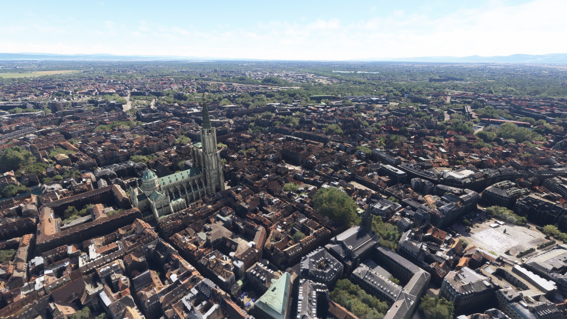
Strasbourg(POI87) to Kaiserstuhl(POI88)
Distance: 29.35NM Bearing: 186° 14 minutes
The Kaiserstuhl is a range of hills along the eastern bank of Rhine, south of Strasbourg. Fly to its highest point, Totenkopf, located in the middle of the group of low, rolling peaks.
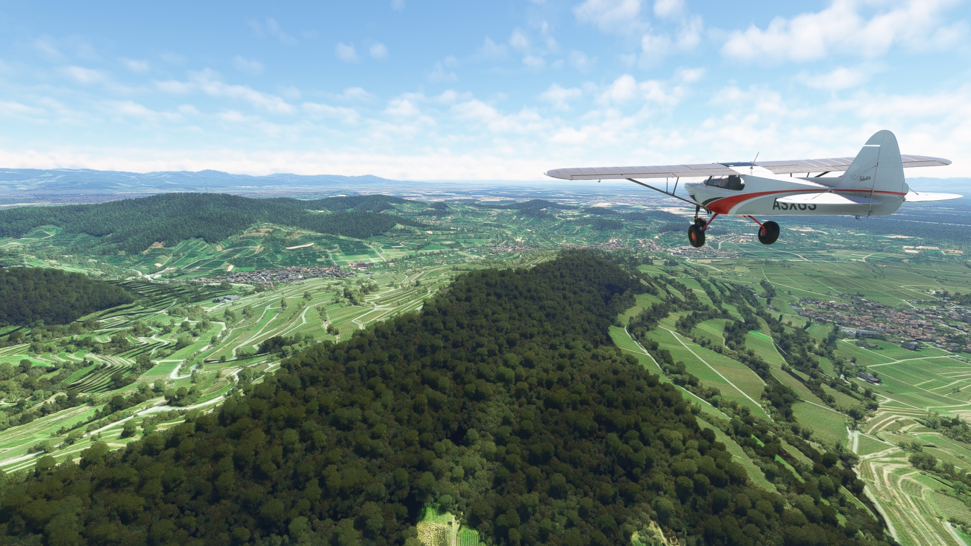
Kaiserstuhl(POI88) to Freiburg im Breisgau(POI89)
Distance: 10.58NM Bearing: 125° 5 minutes
Once over Totenkopf, set a course of 126° M and pass over the city of Freiburg im Breisgau, located to the southeast of the Kaiserstuhl. Typically called just Freiburg, the city is an important university center and is renowned for its beautiful old town set against a backdrop of the Black Forest.

Freiburg im Breisgau(POI89) to Bremgarten(EDTG)
Distance: 10.96NM Bearing: 236° 5 minutes
Turn onto a southwest course over Freiburg and parallel the Autobahn 5, remaining to its south, to land at Bremgarten Airport, which lies just to the east of the Rhine.

Leg 22
Bremgarten to Konstanz
Leg Distance: 89.32 Approximate time at 125kts: 43 minutes.
Bremgarten(EDTG) to Border Triangle(POI90)
Distance: 18.8NM Bearing: 180° 9 minutes
Lift into the sky and follow the Rhine and the Autobahn 5, which parallels the river in this section, to the south. Gain a visual on where the river turns toward the southeast. The juncture of the international borders of Germany, Switzerland, and France is located just north of this turn in the river.
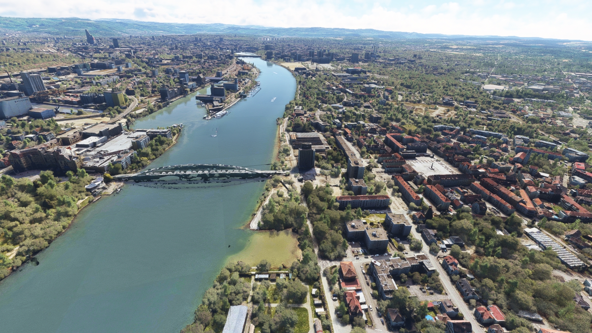
Border Triangle(POI90) to Basel(POI91)
Distance: 3.18NM Bearing: 154° 2 minutes
Follow the river as it passes into Switzerland and visit the city of Basel, considered by many the cultural capital of the country. Basel offers almost forty museums, including some of the finest publicly viewable art collections in the world. Founded in 1460, the University of Basel is the oldest in Switzerland and one of the oldest in Europe. Over the centuries, Erasmus of Rotterdam, Paracelsus, Daniel Bernoulli, Leonhard Euler, Friedrich Nietzsche, Karl Jaspers, the Nobel Prize winner Tadeus Reichstein and the philosopher Jeanne Hersch, among others, have taught and researched at the university.

Basel(POI91) to Rheinfelden(POI92)
Distance: 6.83NM Bearing: 78° 3 minutes
Follow the Rhine to the east from Basel to reach neighboring international towns, both named Rheinfelden. As a result of the demarcation of the border after the Peace of Lunéville and Pressburg in 1801 and 1805 respectively, the Rhine became the border between Baden and Switzerland. The town was divided, and both developed independently, one as a German town on the north bank of the Rhine, and one as a Swiss town, on the south bank of the Rhine. The Rhine is called the High Rhine in the section between Basel and Lake Constance.

Rheinfelden(POI92) to Bad Sackingen(POI93)
Distance: 6.15NM Bearing: 90° 3 minutes
Traverse the southern edge of the Black Forest on the eastward journey along the Rhine to reach Bad Säckingen. The German town is known as the “Town of the Trumpeter” as the writer Joseph Victor von Scheffel was inspired by the location to write the novel “Der Trompeter von Säckingen” (“The Trumpeter of Säckingen”).
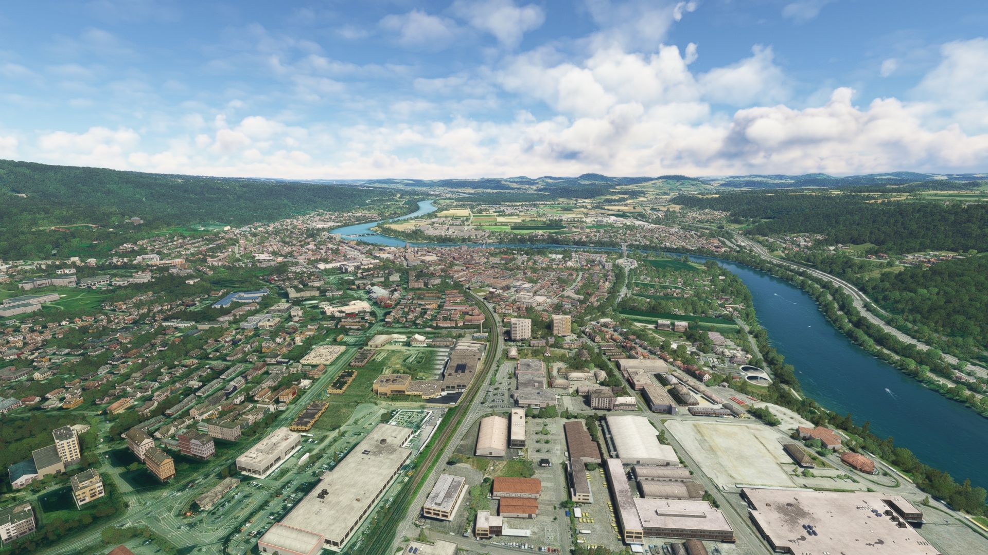
Bad Sackingen(POI93) to Buchberg(POI94)
Distance: 25.03NM Bearing: 86° 12 minutes
Follow the Rhine to the east as it meanders through the landscape and defines the border between Germany and Switzerland. Pass over Buchberg, located where the river makes a hairpin turn to the north-northeast at its confluence with the river Töss.
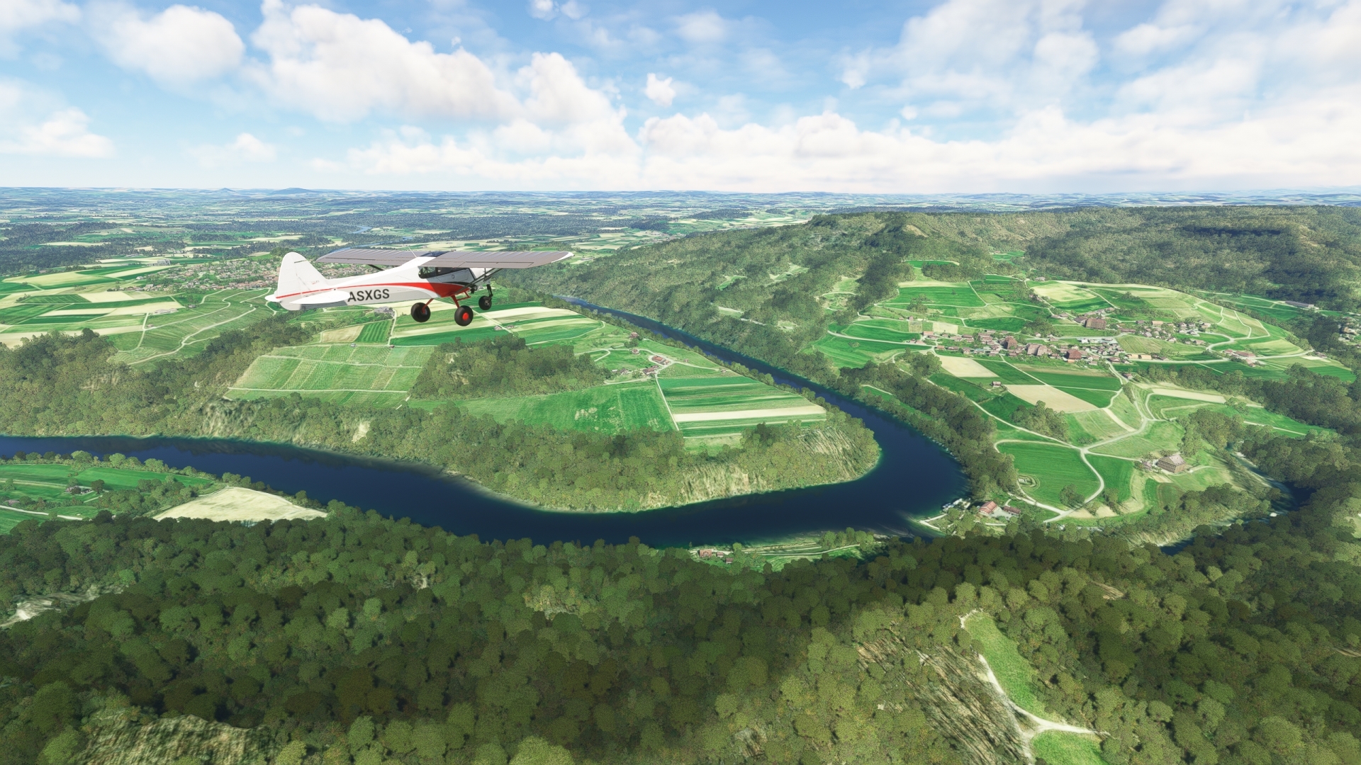
Buchberg(POI94) to Rhine Falls(POI95)
Distance: 7.92NM Bearing: 14° 4 minutes
North of Buchberg, the Rhine makes a series of sharp turns. Pass over this section to reach Rhine Falls, the most powerful waterfall in Europe.

Rhine Falls(POI95) to Stein on the Rhine(POI96)
Distance: 10.16NM Bearing: 94° 5 minutes
Follow the Rhine to the east after the Rhine Falls, toward Untersee (Lower Lake Constance). Pass over Stein on the Rhine, a town located where the High Rhine meets the western edge of Lower Lake Constance. The town is known for its well-preserved medieval houses.
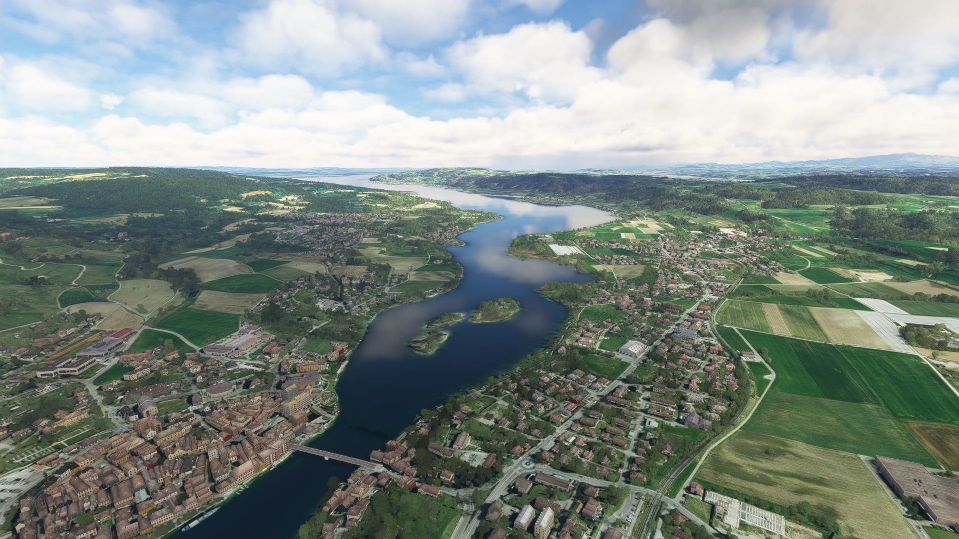
Stein on the Rhine(POI96) to Konstanz(EDTZ)
Distance: 11.25NM Bearing: 80° 5 minutes
Traverse the southern shore of Lower Lake Constance and land at Germany’s Konstanz Airfield. The airfield lies to the north of Seerhein, a short part of the Rhine that connects Obersee (Upper Lake Constance) with Lower Lake Constance.

Leg 23
Konstanz to St Gallen Altenrhein
Leg Distance: 31.67 Approximate time at 125kts: 15 minutes.
Konstanz(EDTZ) to Immenstaad on Lake Constance(POI97)
Distance: 8.65NM Bearing: 92° 4 minutes
Take to the skies of Germany’s Baden-Württemberg once again and head due east, and cross the northern arm of Lake Constance to reach Immenstaad on Lake Constance.
In 1954, the aircraft manufacturer Dornier, which emerged from the Zeppelin factory in Friedrichshafen, settled in Immenstaad. Several other innovative aviation companies followed Dornier to Immenstaad.
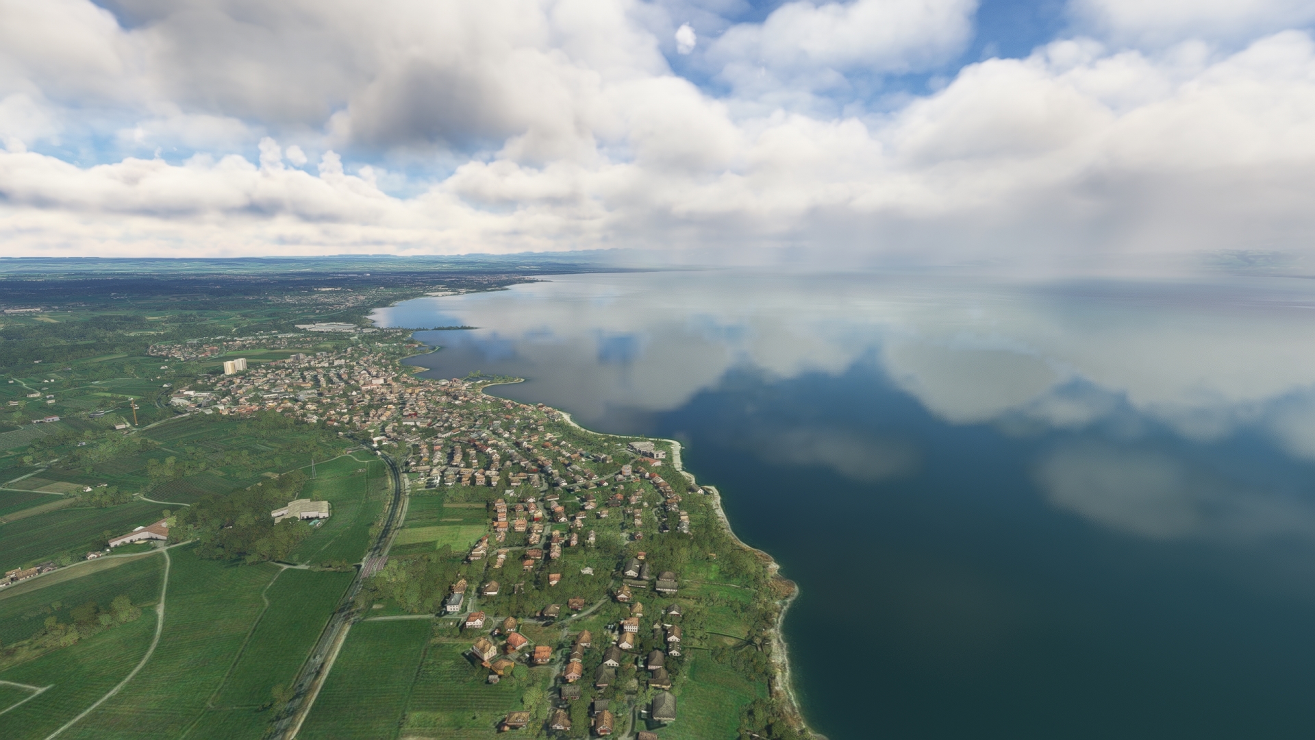
Immenstaad on Lake Constance(POI97) to Friedrichshafen(POI98)
Distance: 4.78NM Bearing: 91° 2 minutes
From Immenstaad, continue east to Friedrichshafen, a German city established in 1811. Friedrichshafen is renowned as one of the most important cities in the history of aviation. German airship pioneer Ferdinand von Zeppelin’s LZ 1, the world’s first successful rigid airship, took to the sky from a floating hangar on Lake Constance in July of 1900. In 1908, von Zeppelin founded Luftschiffbau Zeppelin (Zeppelin Airship Company) in Friedrichshafen. The company manufactured a long line of well-known Zeppelin airships, including LZ 127 Graf Zeppelin. Several other companies with aviation roots based their operations in Friedrichshafen, including ZF Friedrichshafen, Maybach, and Dornier, which created iconic flying boats including the Dornier Do J Wal and the Dornier Do X. In 1915, an airfield was established in Friedrichshafen as a base for airships. An airplane runway was constructed in 1918, one of Germany’s first. Friedrichshafen Airport is located adjacent to the location of the annual AERO Friedrichshafen, one of Europe’s key general aviation conventions.
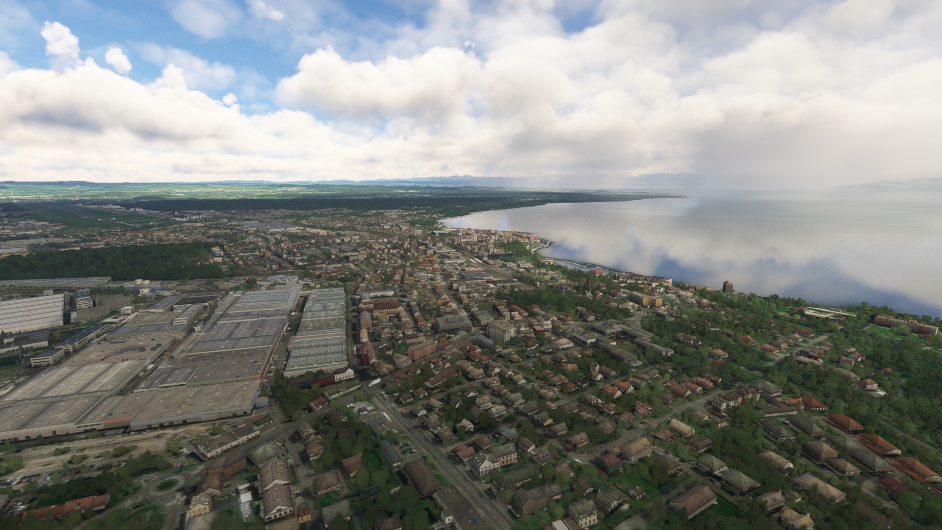
Friedrichshafen(POI98) to Lindau(POI99)
Distance: 10.77NM Bearing: 121° 5 minutes
Follow the northern shore of Lake Constance to the southeast to the island town of Lindau, Germany, a popular tourist destination.
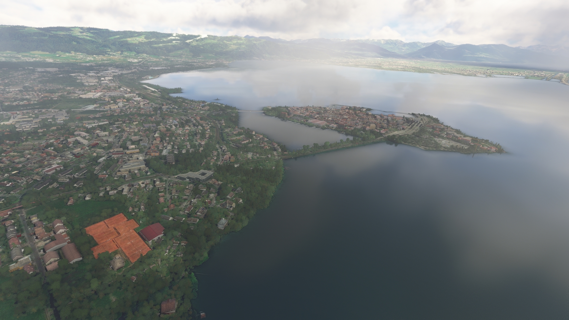
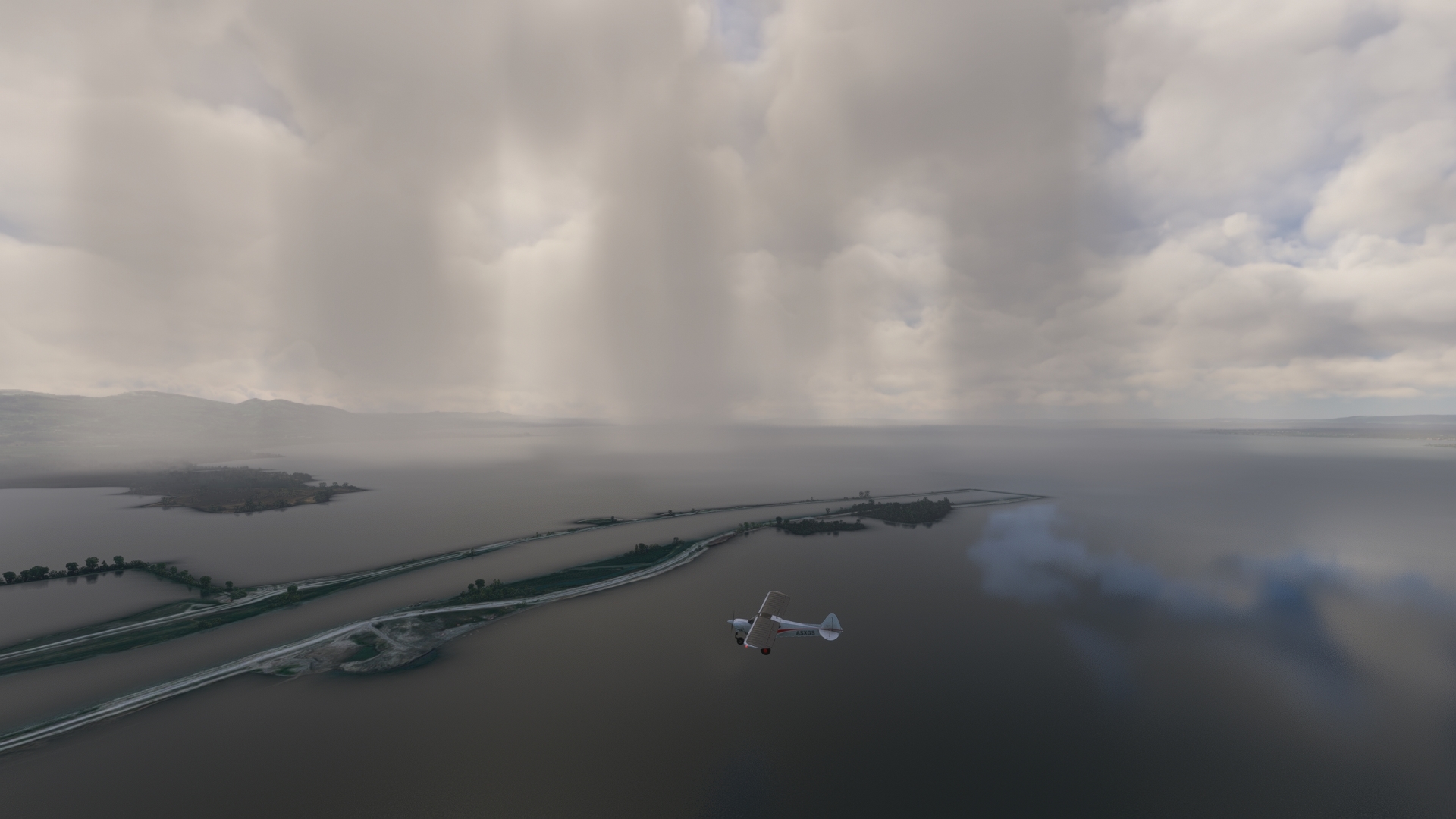
Lindau(POI99) to Mouth of the Rhine into Lake Constance(PI100)
Distance: 2.94NM Bearing: 195° 1 minutes
Turn onto a southerly course and fly from the town of Lindau over the island of Lindau and head for a canal-like headland. From there, the Rhine flows through Lake Constance. The source of the Rhine is Lake Toma in the Alps at an altitude of 2344 meters (7690 feet).
Lake Constance is a section of the Rhine. Germany, Austria, and Switzerland each share a section of Lake Constance.
Mouth of the Rhine into Lake Constance(PI100) to St Gallen Altenrhein(LSZR)
Distance: 4.53NM Bearing: 249° 2 minutes
Follow the southern shoreline of Lake Constance, part of Austria, to the southwest, and land at St. Gallen–Altenrhein Airport in Switzerland – and prepare for the second in this wonderful series of bush trips throughout DACH!

Hi,
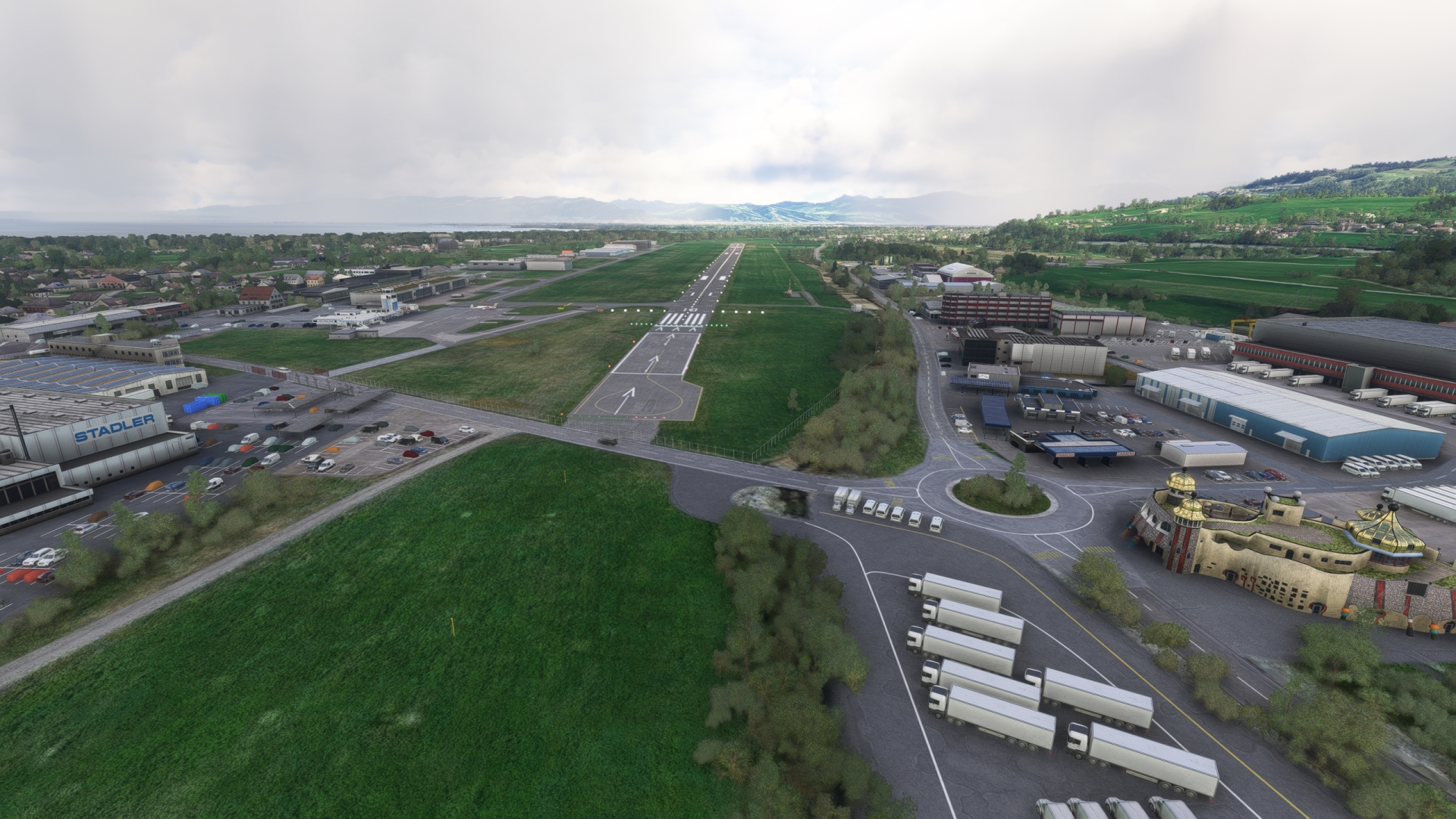
on leg 9 my plane starts on (or better something like IN) the rooftop of the hangar. As soon as the plane moves, it gets destroyer and I cannot start the leg. Any ideas on that?
Kind regards
Florian
I will take a look at this for you. I will let you know what I see. Give me a few hours.
Did you try to change the start point once you load the flight plan? I don’t have issue with the plane loading on top of a building. I can say I have seen that happen in the past, but just reloaded. See the image to change your start location.
