The Alpine world of Switzerland
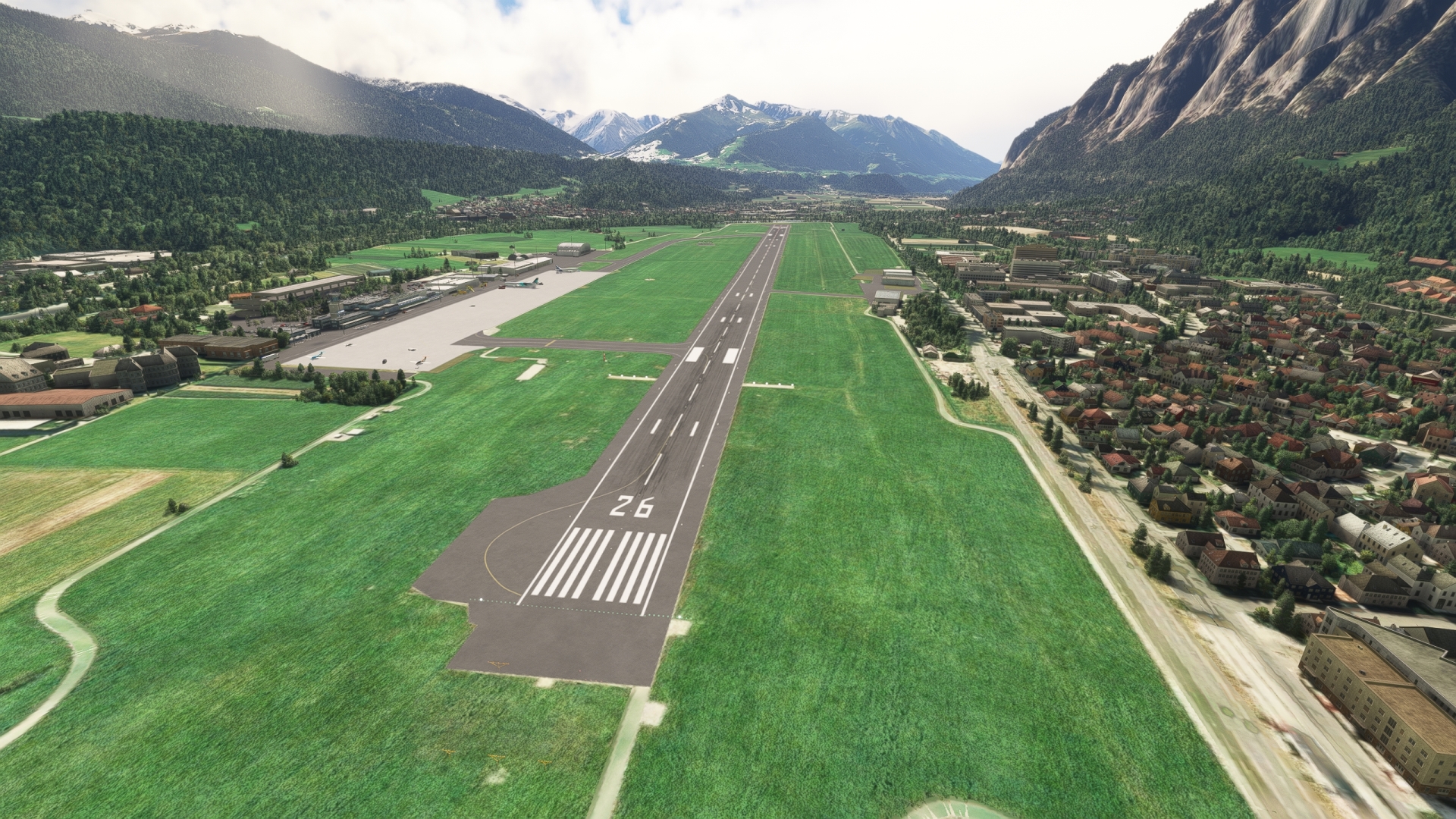
The Alpine World of Switzerland is the second in a series of three bush trips that celebrates the beauty, grandeur, and history of Germany, Austria, and Switzerland, together known as DACH (Deutschland, Austria, Confederation Helvetia). This journey weaves a path through the great mountains of the Alps of Switzerland. Beginning on the shores of the world-renowned Lake Constance, where the first of this series ended, the route visits spectacular peaks, beautiful glaciers, roaring rivers, and several towns and cities throughout Switzerland. The journey explores all three major landform regions of the country, the Jura Mountains, the Swiss Plateau, and the Swiss Alps. The bush trip ends at Austria’s Innsbruck, the start of the final trip of this series.
This bush trip was carefully tailored for the CubCrafters XCub to maximize both flight experience and breathtaking sights throughout this alpine journey.
Flight instructions:
Weather, date, and time can be adjusted for pilot preference.
Several other options have been unlocked to optimize the flight experience.
Set the XCub to "cold and dark" after each landing to complete the leg.
ATC is available if you would like to use it.
Total Legs: 7 Total Distance: 514 Total Time(125kts): 4 hours 6 minutes
Leg 1
St Gallen Altenrhein to Hausen Am Albis
Leg Distance: 63.38 Approximate time at 125kts: 30 minutes.
St Gallen Altenrhein(LSZR) to Abbey of Saint Gall(POI1)
Distance: 8.27NM Bearing: 240° 4 minutes
After lifting off from St. Gallen–Altenrhein Airport, visually pick up highway 1 and follow it southwest to the town of St. Gallen, home of the Abbey of St. Gallen, located just south of the highway. Originally founded in 719, the Catholic monastery is today recognized as a World Heritage Site by the United Nations.

Abbey of Saint Gall(POI1) to Kybunpark(POI2)
Distance: 3.06NM Bearing: 249° 1 minutes
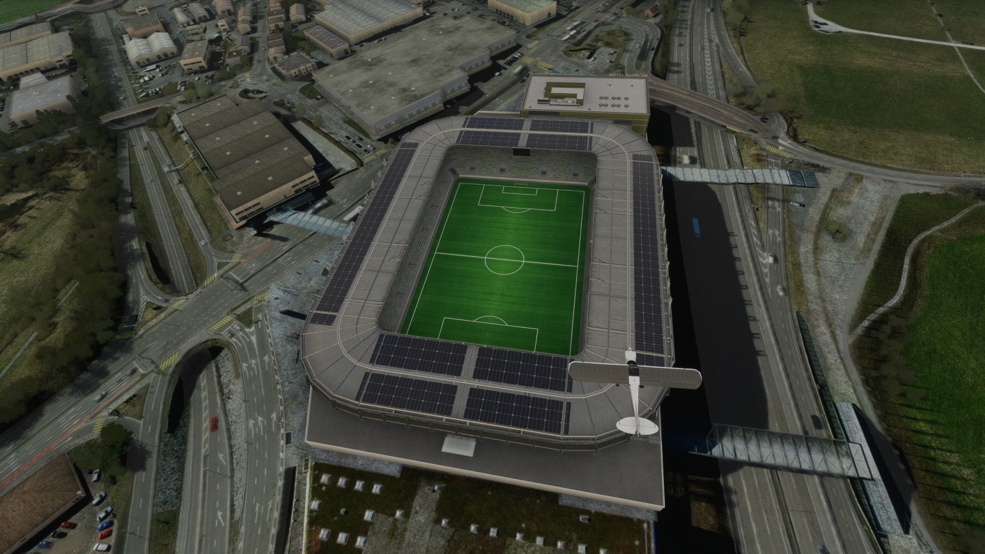
Continue following highway 1 to the southwest to Kybunpark, a large sports stadium located just to the south of the highway.
Kybunpark(POI2) to Wil(POI3)
Distance: 10.69NM Bearing: 281° 5 minutes
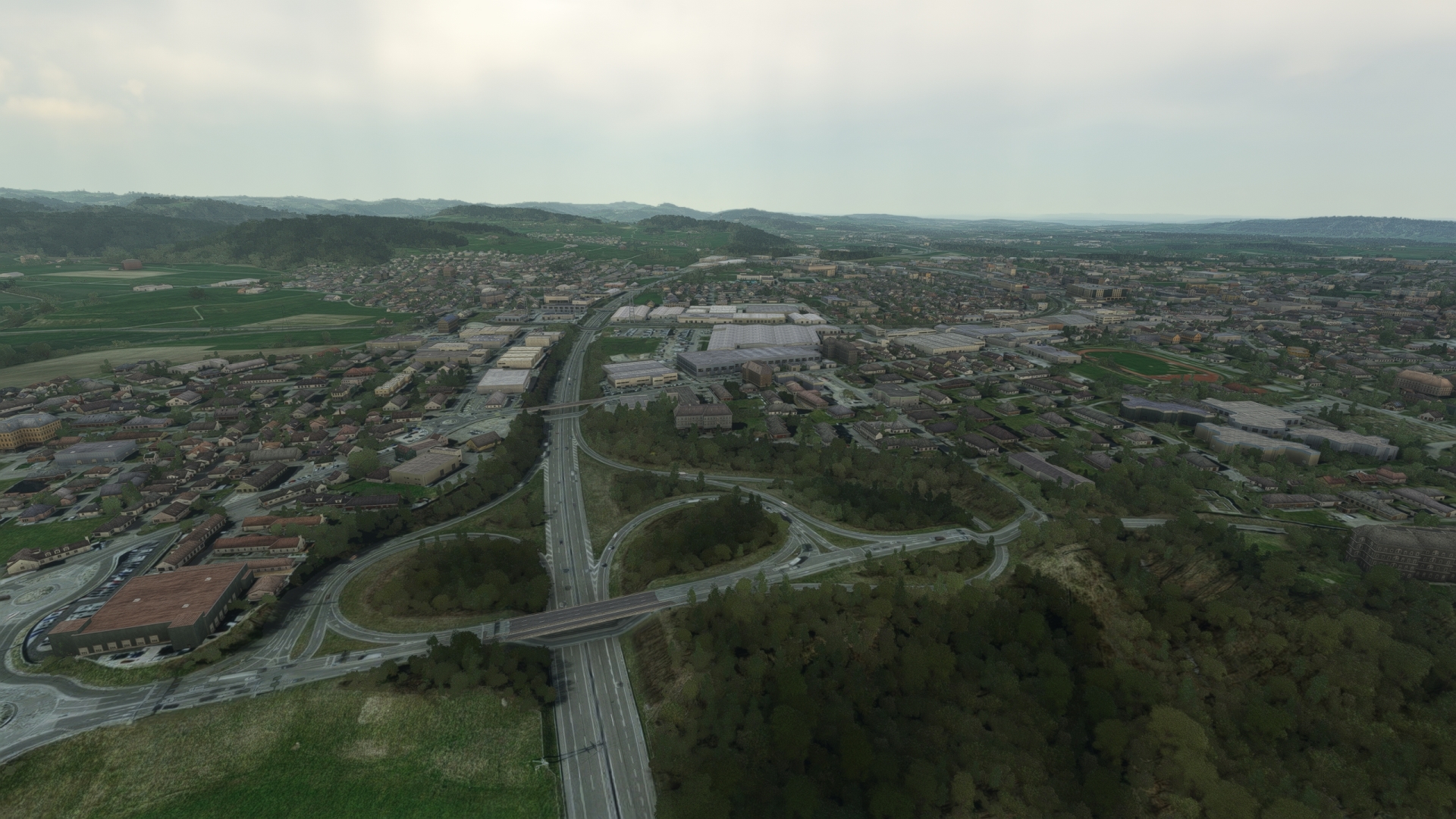
Follow highway 1 to the north-northwest and gain a visual on the river Thur, which parallels the highway after joining it from the northeast. The river, which originates in the Toggenburg region of Switzerland, is a tributary to the Rhine. Pass over the river to reach Wil, one of the most populous cities of northeastern Switzerland and home to several cultural sites.
Wil(POI3) to Wattwil(POI4)
Distance: 9.57NM Bearing: 168° 5 minutes
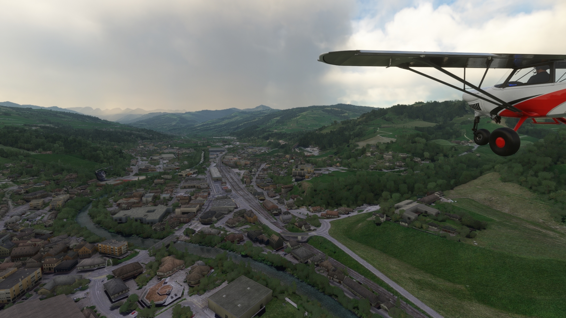
Turn south and follow main road 16, which parallels river Thur, into the fascinating mountain world of the Tweralpspitz mountains of the Appenzell Alps. The town of Wattwil is located on a level portion of the landscape and is home to several noteworthy cultural sites, including the church of Wattwil and the St. Mary of the Angels monastery.
Wattwil(POI4) to Rapperswil-Jona(POI5)
Distance: 11.81NM Bearing: 245° 6 minutes
From Wattwil, turn to the southwest and gain a visual on Lake Zurich, a long, narrow lake formed by the Rhine-Linth glacier after its retreat at the end of the Ice Age. Follow main road 8 to the town of Rapperswil-Jona, located on the northern shore of the southeastern aspect of the lake.

Rapperswil-Jona(POI5) to Einsiedeln Abbey(POI6)
Distance: 6.45NM Bearing: 200° 3 minutes
Turn to the south and sight the Hurden peninsula that protrudes into Lake Zurich from its southern shoreline. Follow the road over the bridge to the peninsula and gain a visual on Etzel, a prominent mountain that is part of the Schwyzer Alps. Pass just to the east of Etzel and gain a visual on Sihlsee, a reservoir created by the damming of the Sihl river. Traverse the northern extremity of Sihlsee and pass over the town of Einsiedeln and the Einsiedeln Abbey, a stunning baroque monastery that is one of the most important religious sites in Switzerland. The monastery is a stage on the Way of St. James from Szczecin, Poland, to Santiago de Compostella, Spain. Saint Meinrad and the reformer Huldrych Zwingli lived here.

Einsiedeln Abbey(POI6) to Wollerau(POI7)
Distance: 4.1NM Bearing: 340° 2 minutes
Make a hairpin turn and set a course of 340° M, flying toward Lake Zurich. Pass to the west of Etzel and reach the town of Wollerau, located on the lake’s southern shore.
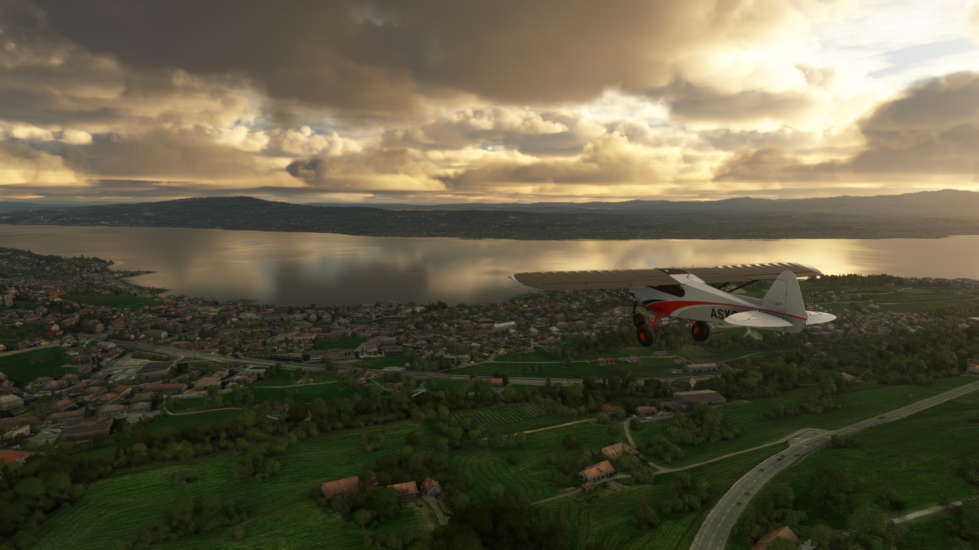
Wollerau(POI7) to Horgen(POI8)
Distance: 5.85NM Bearing: 299° 3 minutes
Follow highway 3, paralleling the southwestern shore of Lake Zurich. Pass over the town of Horgen, located on the southwestern shore of the lake at the base of the Albis, a low range of mountains formed by the Rhine-Linth glacier.
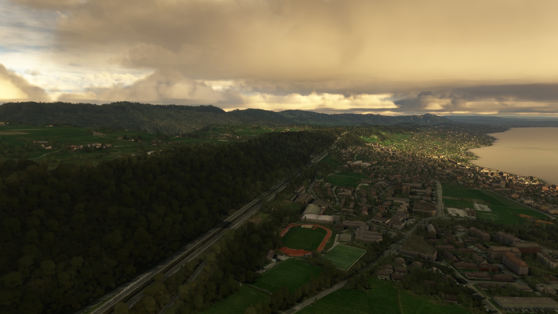
Horgen(POI8) to Hausen Am Albis(LSZN)
Distance: 3.58NM Bearing: 261° 2 minutes
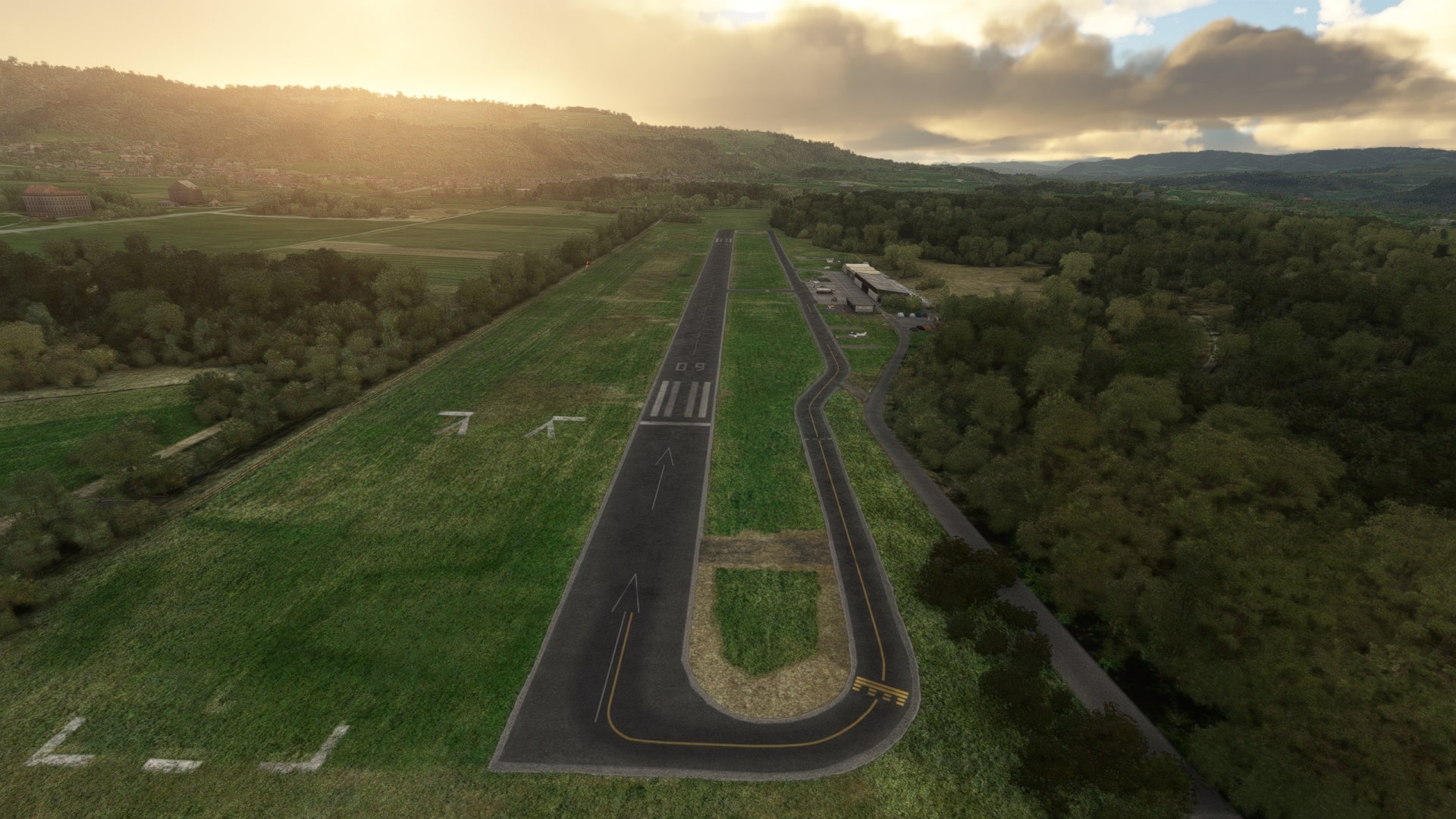
Turn to the west and pass over the Sihl river and land at Hausen Am Albis airfield (LSZN).
Leg 2
Hausen Am Albis to Grenchen
Leg Distance: 62.77 Approximate time at 125kts: 30 minutes.
Hausen Am Albis(LSZN) to Lake Zug(POI9)
Distance: 8.66NM Bearing: 186° 4 minutes
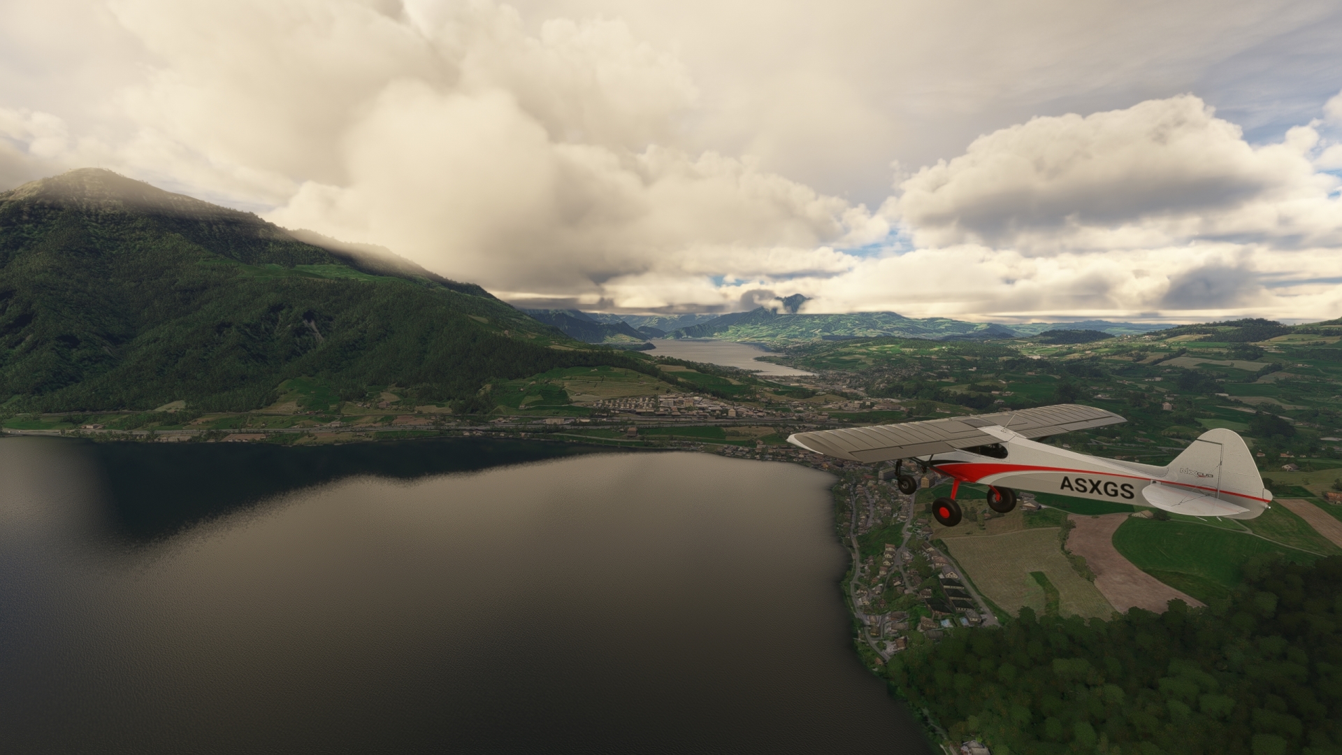
Return to the Swiss sky and head toward Lake Zug, a north-south trending lake. Pass over the peninsula that protrudes into the lake from its western shore at its midsection.
Lake Zug(POI9) to Meggenhorn(POI10)
Distance: 6.25NM Bearing: 229° 3 minutes
Sight Lake Lucerne, located to the southwest of Lake Zug, and pass over the narrow land bridge separating the two lakes. Follow the northern shore of the prominent northeastern arm of Lake Lucerne to Meggenhorn, a prominent hill on which stands the Meggenhorn Castle.
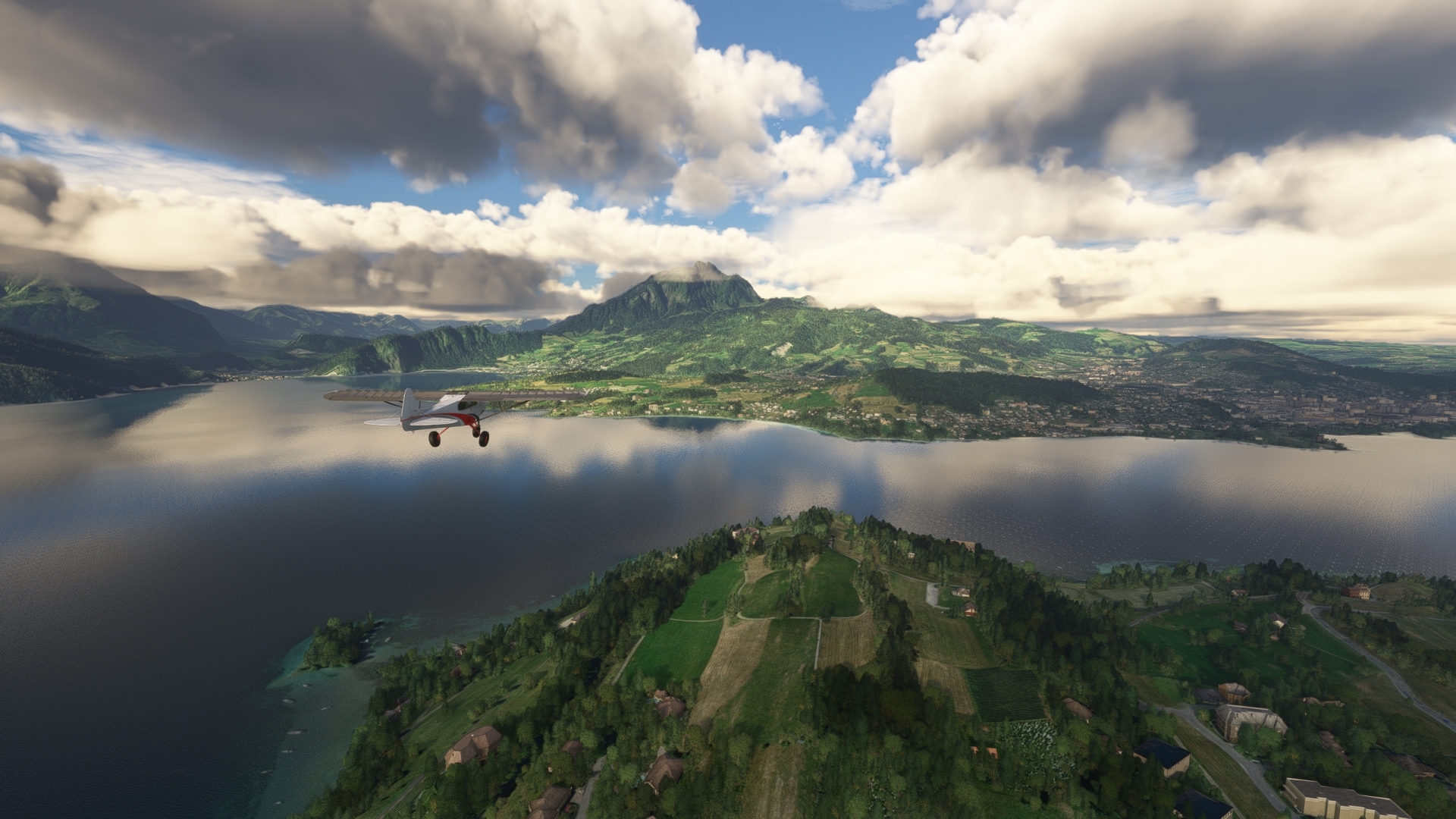
Meggenhorn(POI10) to Swissporarena(POI11)
Distance: 2.13NM Bearing: 265° 1 minutes
Turn onto a due west course and gain a visual on Bireggwald, a prominent hill overlooking northern Lake Lucerne and the city of Lucerne. Cross the small northwest arm of Lake Lucerne and pass just to the north of Bireggwald to reach Swissporarena, located on the southern edge of Lucerne.
Lucerne is the social and cultural center of Central Switzerland. In the field of education, it is home to the University of Lucerne, the Lucerne University of Teacher Education, and the Lucerne University of Applied Sciences and Arts. Events with supra-regional appeal include the Lucerne Carnival and the Lucerne Festival. Lucerne is an important tourist destination in Switzerland, partly due to its location on Lake Lucerne and its proximity to the Alps, and partly thanks to attractions such as the Chapel Bridge and the Swiss Museum of Transport.
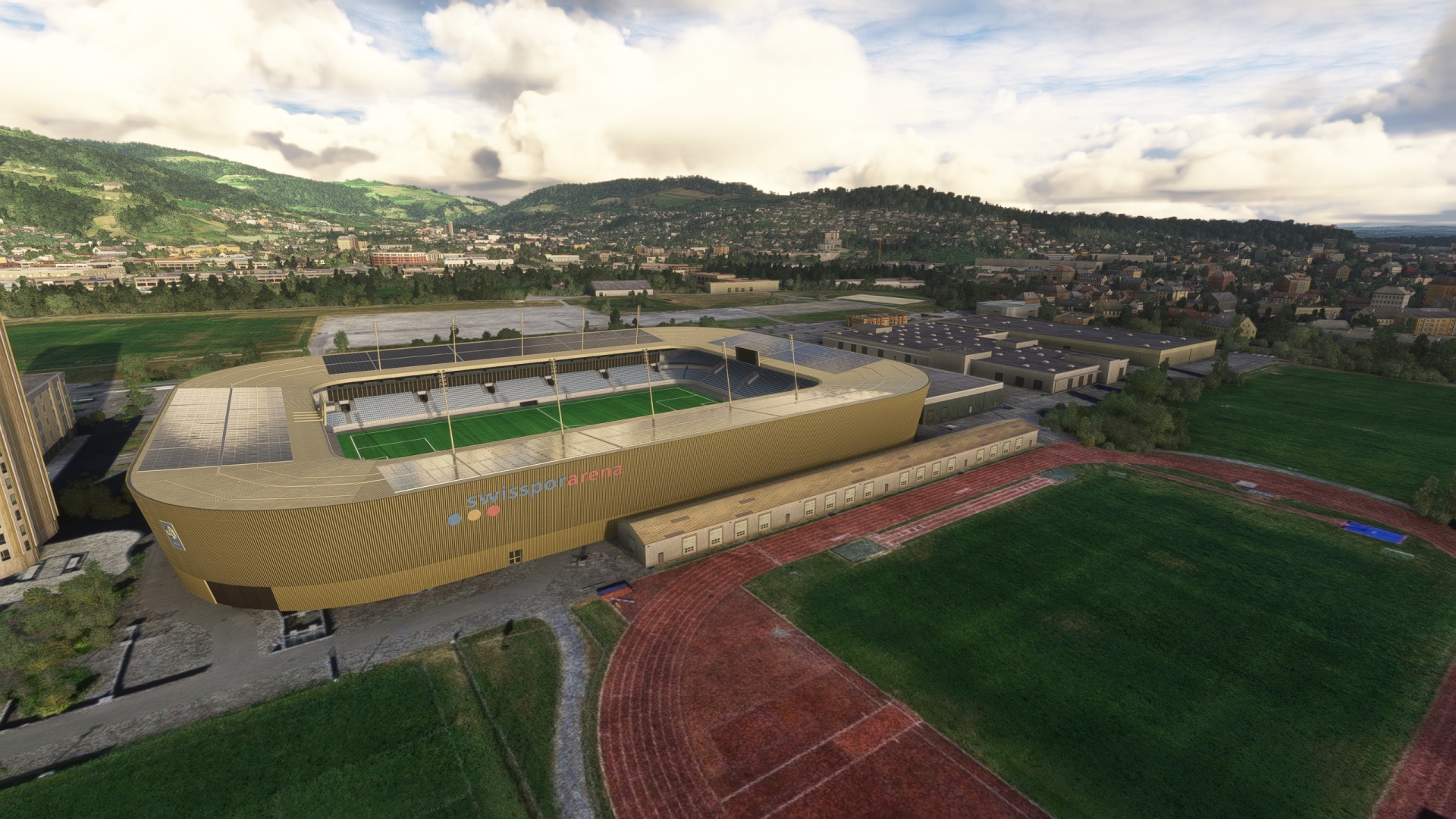
Swissporarena(POI11) to Chapel Bridge(POI12)
Distance: 1.13NM Bearing: 2° 1 minutes
Turn to the north over the stadium and fly toward the mouth of the Reuss river where it meets Lake Lucerne. The Chapel Bridge, the oldest and second longest medieval wooden bridge in Europe, is located just to the west of the prominent bridge that spans the river at its juncture with the lake.
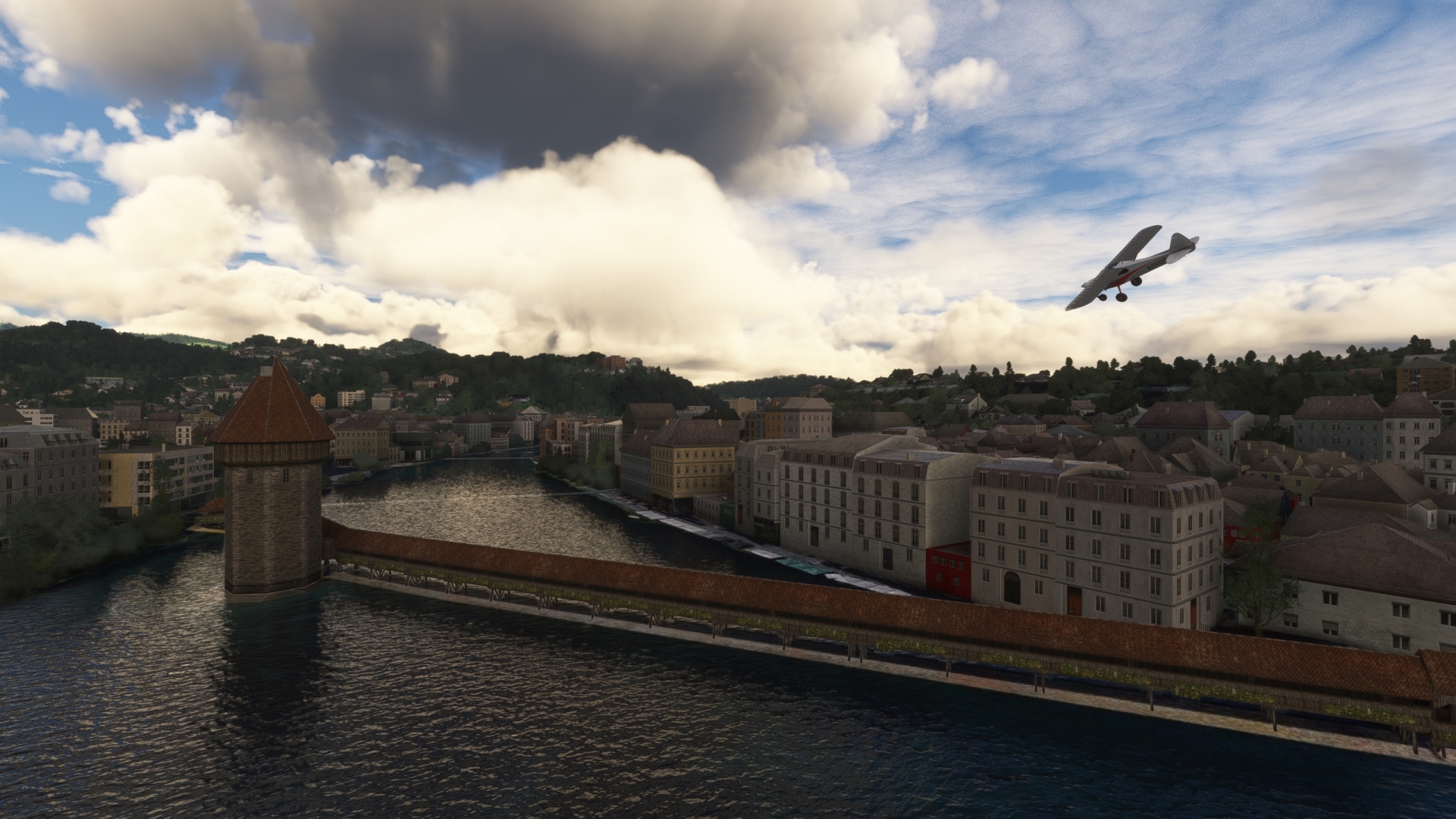
Chapel Bridge(POI12) to Lake Sempach(POI13)
Distance: 7.37NM Bearing: 313° 4 minutes
Turn northwest and follow highway 2 northwest to Lake Sempach, popular among locals during the summer months for swimming and boating.

Lake Sempach(POI13) to Dagmersellen(POI14)
Distance: 9.25NM Bearing: 294° 4 minutes
Continue following highway 2 along Lake Sempach’s northeastern shore to reach Dagmersellen, a town known for its silk and wool weaving prior to the industrial revolution.

Dagmersellen(POI14) to Oftringen(POI15)
Distance: 6.14NM Bearing: 332° 3 minutes
Follow highway 2 through the valley to reach Oftringen, a town rich in history. Archaeologists have discovered evidence of human habitation in the Oftringen region dating to the Middle Stone Age.
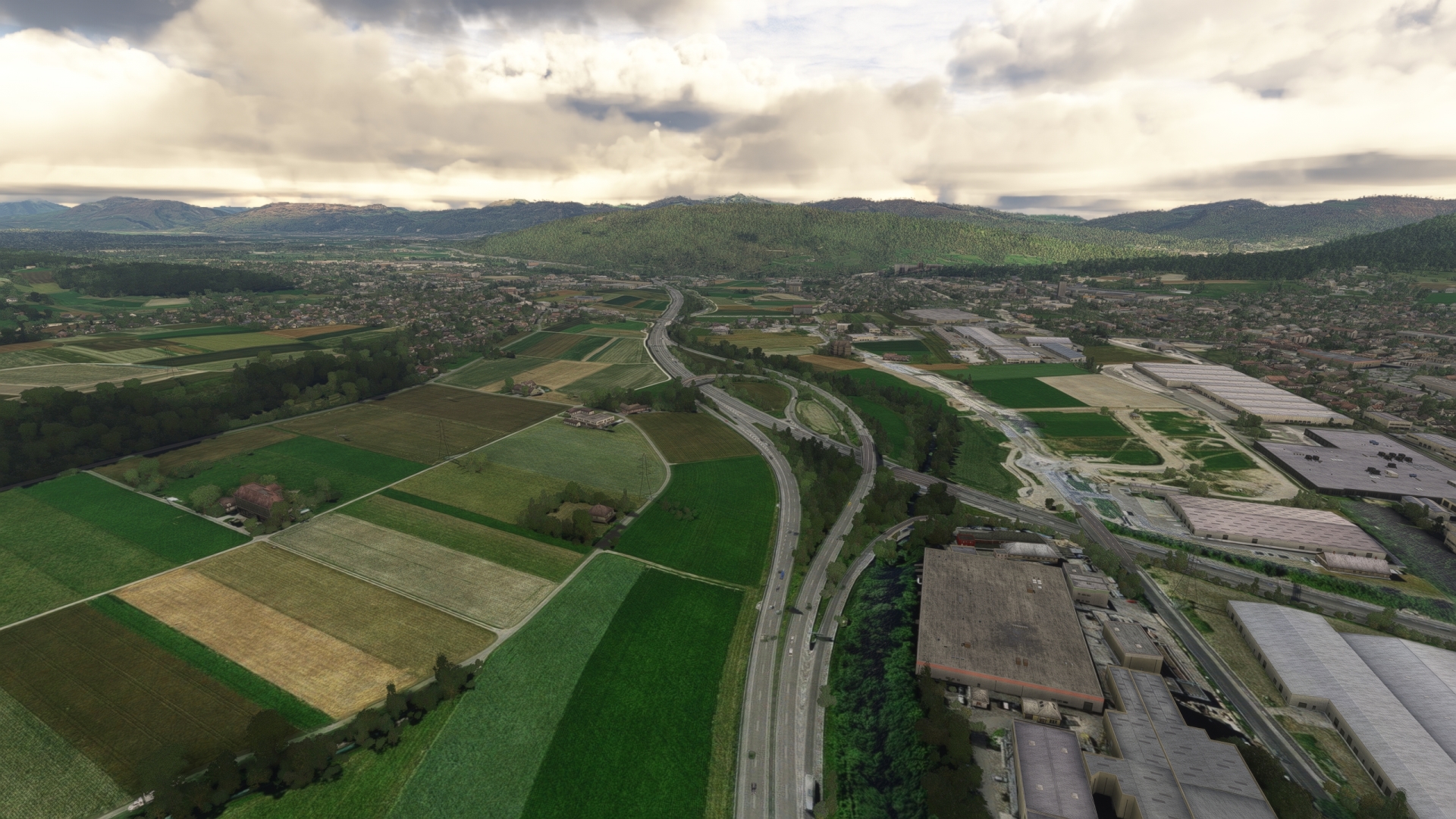
Oftringen(POI15) to Luterbach Freeway Junction(POI16)
Distance: 14.07NM Bearing: 243° 7 minutes
Turn to the west-southwest and fly along the length of the Aare river, a tributary to the High Rhine. The Aare Valley, part of the eastern Jura Mountains, is one of the most picturesque regions in northern Switzerland. Pass over the junction of the A1 and A5 highways, located at the town of Luterbach just south of the Aare river.
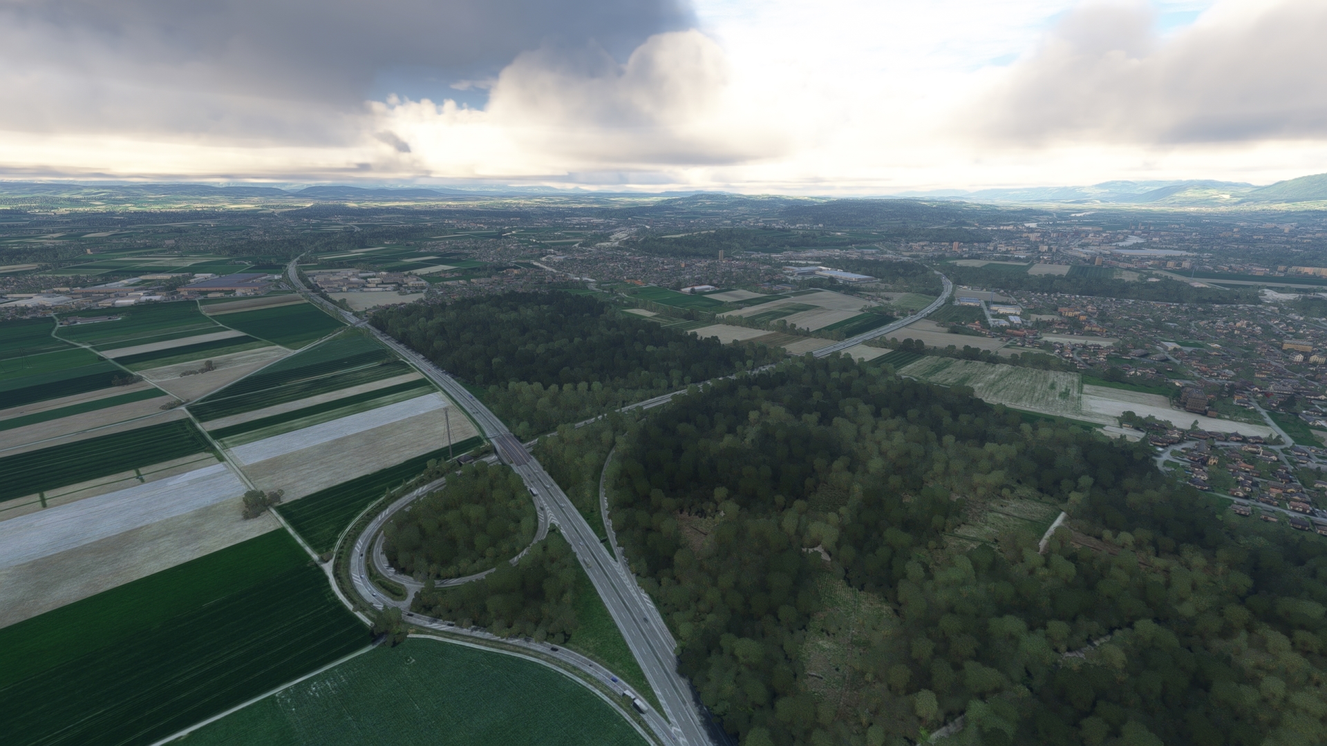
Luterbach Freeway Junction(POI16) to Grenchen(LSZG)
Distance: 7.77NM Bearing: 253° 4 minutes
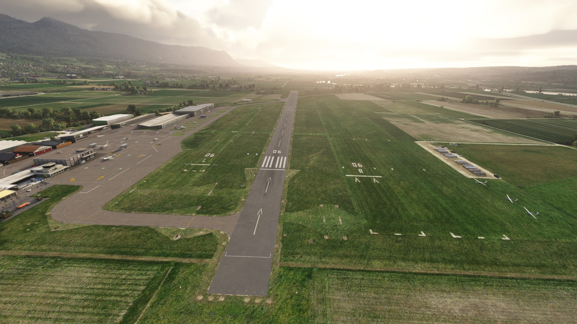
Track the A5 highway and the Aare to Grenchen Airport and land. The airport is located just south of the town of Grenchen and just north of the highway and river.
Leg 3
Grenchen to Sion
Leg Distance: 90.89 Approximate time at 125kts: 44 minutes.
Grenchen(LSZG) to Lake Biel(POI17)
Distance: 7.8NM Bearing: 244° 4 minutes
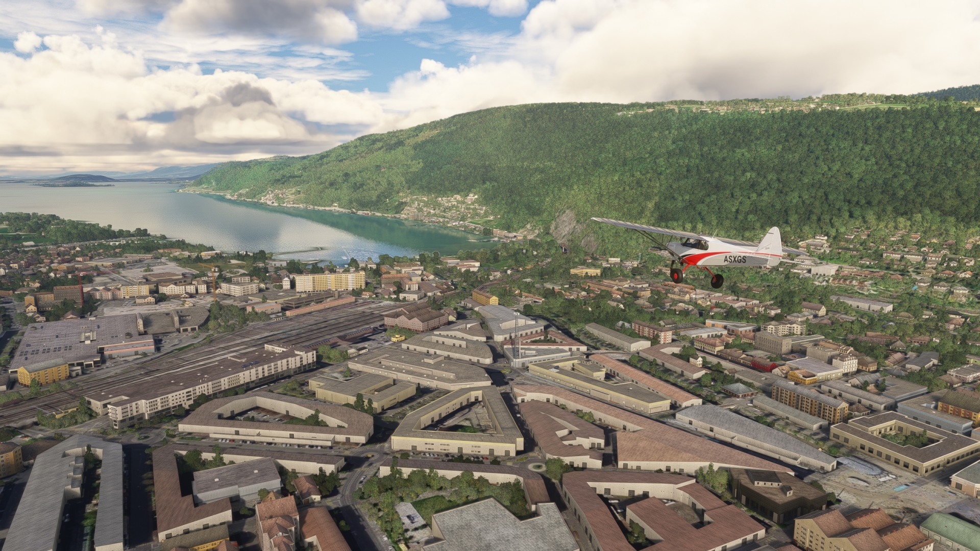
Take-off and continue following highway 5 to the west-southwest to the eastern shore of Lake Biel. Also called Lake Bienne, it is part of the Three-Lakes region and is located at the juncture of the French speaking and German speaking areas of Switzerland.
Switzerland comprises three major geomorphic regions, the Jura Mountains in the north, the Swiss Plateau (also called the Central Plateau) in its middle section, and the Swiss Alps in the southern part of the country. Lake Biel lies at the southern foot of the Jura Mountains at their juncture with the Swiss Plateau.
Lake Biel(POI17) to Aare-Hagneck Canal(POI18)
Distance: 5.01NM Bearing: 208° 2 minutes
Fly along the southeastern shore of Lake Biel and gain a visual on St. Peter’s Island (now a peninsula), which protrudes into the lake from the lake’s southwestern extremity. Pass over the Aare-Hagneck Canal, which connects to the southeastern shore of Lake Biel, when abeam of the eastern end of St. Peter’s Island.
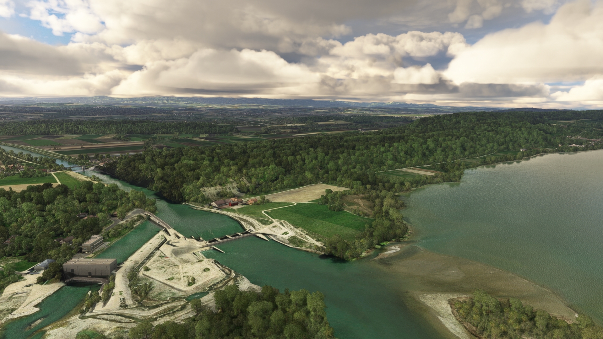
Aare-Hagneck Canal(POI18) to Saane River(POI19)
Distance: 5.94NM Bearing: 142° 3 minutes
Follow the Aare-Hagneck Canal to the southeast, flying away from the Jura Mountains and farther into the Swiss Plateau region. Continue along the canal until its juncture with the Saane river.
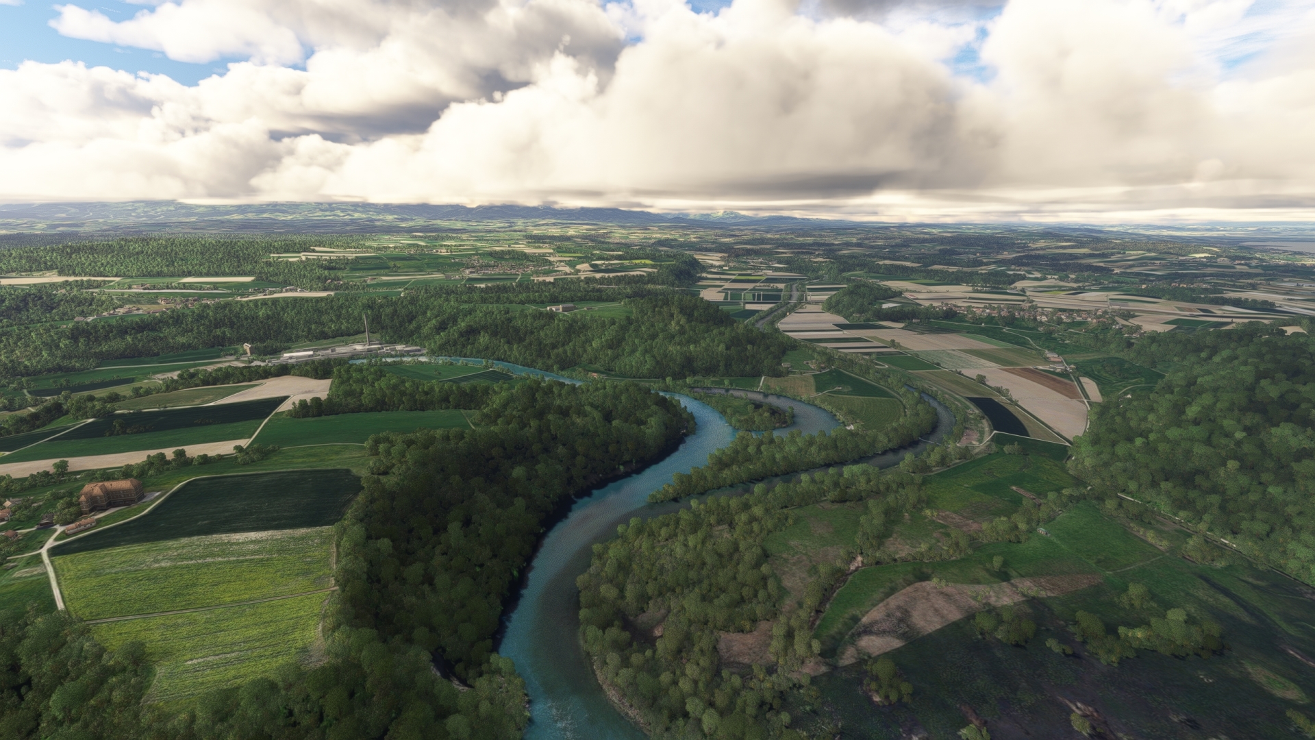
Saane River(POI19) to Freiburg(POI20)
Distance: 11.18NM Bearing: 199° 5 minutes
Track the Saane to the southwest and pass over the long, narrow Schiffenensee, a reservoir formed by a dam on the Saane. Continue on course past the southwestern end of the lake to reach Freiburg, a city that is culturally influenced by both German-speaking and French-speaking Swiss. The city is home to an important bilingual university and its well-preserved old town is one of the nation’s cultural strongholds.
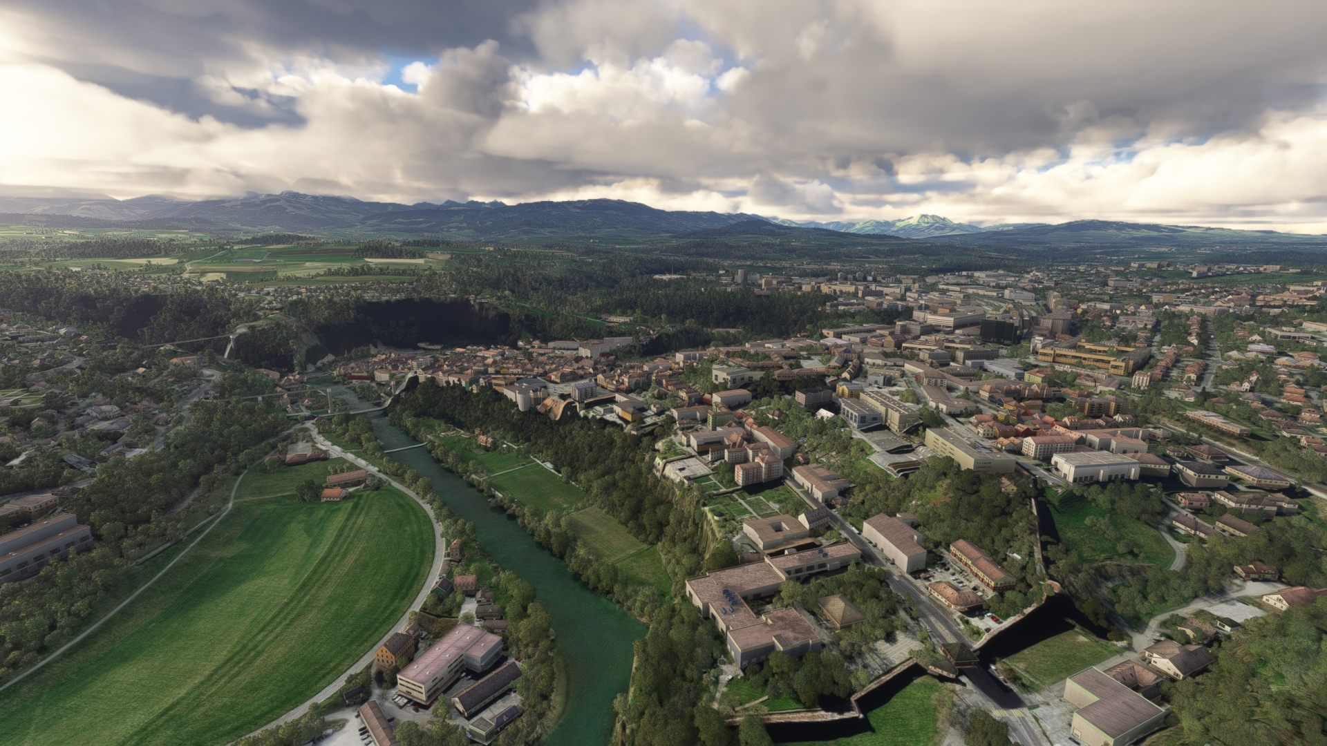
Freiburg(POI20) to Bulle(POI21)
Distance: 11.91NM Bearing: 196° 6 minutes
Continue on course to the southwest along the Saane, obliquely traversing the Swiss Plateau, with the Alps to the south growing ever larger in view. Traverse the western shore of Lake of Gruyère, a reservoir on the Saane, and then follow highway A12 to the town of Bulle. The town, rich in history, is well preserved and surrounded by agricultural lands.

Bulle(POI21) to Vevey(POI22)
Distance: 13.07NM Bearing: 221° 6 minutes
Gain a visual on Lake Geneva to the southwest and the town of Vevey, located on the lake’s northeastern shoreline. Using highway 12 as a guide, fly toward Vevey and admire the Bernese Alps located just to the east of Lake Geneva. Pass over Vevey and turn to the southeast to follow the shoreline of Lake Geneva.
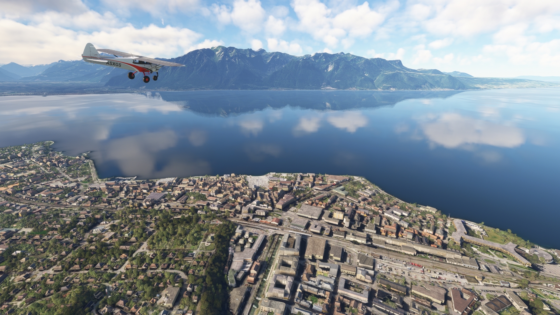
Vevey(POI22) to Chillon Castle(POI23)
Distance: 4.72NM Bearing: 126° 2 minutes
Sight Rochers de Naye, which towers over the eastern end of Lake Geneva, and then pass over Chillon Castle, located near the easternmost extremity of the lake. The medieval castle is located on a small island and is one of the most picturesque, and most visited, landmarks in all of Europe.
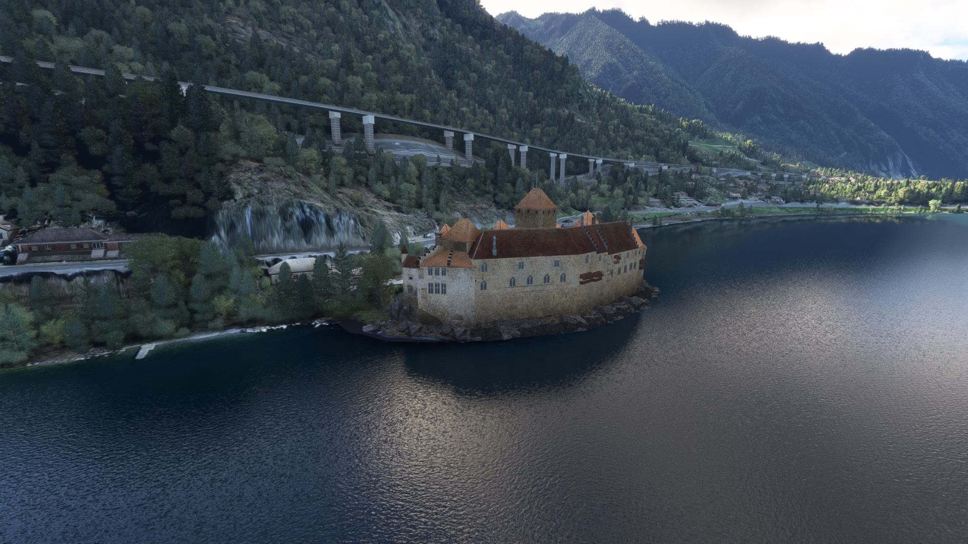
Chillon Castle(POI23) to Martigny(POI24)
Distance: 19.23NM Bearing: 157° 9 minutes
Fly to the south-southeast and pass the mouth of the Rhone River to enter the Rhone Valley and the beautiful world of the high Swiss Alps. Continue along the Rhone to the city of Martigny, a major crossroads within the Alps that is surrounded by some of the most spectacular mountain scenery in the world. The city lies amid vineyards and fruit trees and is renowned for its excellent inns and restaurants.

Martigny(POI24) to Sion(LSGS)
Distance: 12.03NM Bearing: 55° 6 minutes
Follow the path of the Rhone to the east-northeast at Martigny and land at Sion Airport (LSGS) to end this leg of the journey through Switzerland.

Leg 4
Sion to Munster Airport
Leg Distance: 53.76 Approximate time at 125kts: 26 minutes.
Sion(LSGS) to Turtmann Airbase(POI25)
Distance: 18NM Bearing: 69° 9 minutes
Lift off from Sion Airport and begin climbing. Due to the high elevations of many of the peaks along this section of the route, ascend to an altitude of 14,000 feet above sea level. Due to the constricted topography of the region, circling above the Rhone while climbing, “corkscrewing up,” is a preferred way to gain elevation.
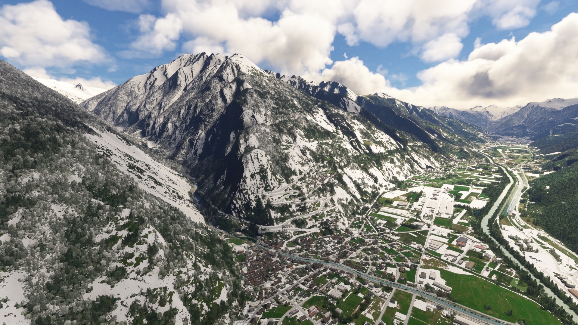
After gaining altitude, fly up the Rhone to the village of Turtmann and the decommissioned military airfield Turtmann Airbase.
Turtmann Airbase(POI25) to Jungfrau(POI26)
Distance: 16.32NM Bearing: 31° 8 minutes
Once over Turtmann Airbase, gain a visual on the Mit Valley to the north, through which the Lonza river flows. Turn north and follow the Mit valley, which soon changes direction to the northeast. Avoid flying through clouds to prevent the XCub from icing.
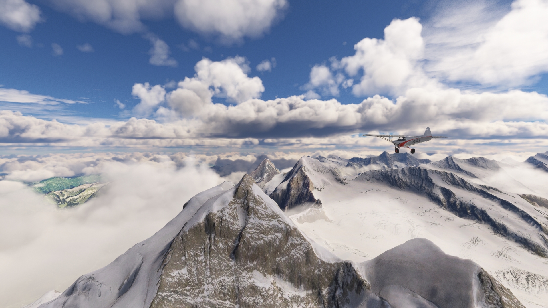
Once at the edge of the Großer Aletschfirn glacier, head for the highest peak that can be seen to the north and reach the summit of the Jungfrau. At 4.158 m (13,640 ft), the Jungfrau is the third-highest mountain in the Bernese Alps and, together with the Eiger and Mönch, forms a striking group of three, a so-called "triumvirate".
Jungfrau(POI26) to Sphinx Observatory(POI27)
Distance: 1.14NM Bearing: 51° 1 minutes
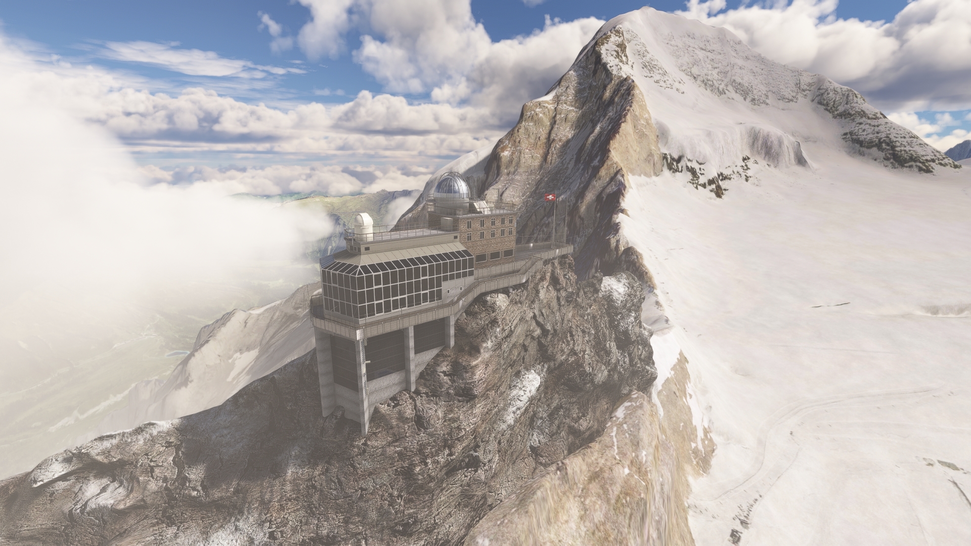
Once at the Jungfrau, reduce speed and extend flaps to descend to the Sphinx Observatory, which is located below the summit of the Jungfraujoch. Gain a visual on the Jungfraujoch, a pass between 13,642-foot-high Jungfrau and 13,480-foot-high Mönch, two major peaks of the Bernese Alps. The Sphinx Observatory is built on the Sphinx, a peak situated along the ridge of the Jungfraujoch. At 11,716 feet above sea level, the Sphinx Observatory is one of the highest astronomical observatories in the world.
Sphinx Observatory(POI27) to Fiesch(POI28)
Distance: 10.96NM Bearing: 142° 5 minutes
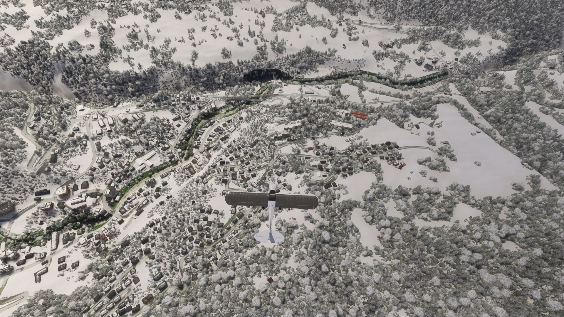
Turn sharply to the southeast and soar over the Aletsch Glacier, the largest glacier in the Alps with a length of 14 miles. Maintain course along the glacially-carved valley and gain a visual on Fiesch, a town located along the Rhone river. The area is one of the most beautiful mountain regions on the planet and was recognized as a World Heritage Site by the United Nations for its view of the Jungfrau-Aletsch protected area.
Fiesch(POI28) to Munster Airport(LSPU)
Distance: 7.34NM Bearing: 43° 4 minutes
Adjust heading to the northeast over Fiesch and follow the Rhone to Turn hard northeast via Fiesch and follow the Rotten Valley to Münster Airport (LSPU) and land.

Leg 5
Munster Airport to Lugano Airport
Leg Distance: 70.71 Approximate time at 125kts: 34 minutes.
Munster Airport(LSPU) to Ulrichen(POI29)
Distance: 2.51NM Bearing: 48° 1 minutes
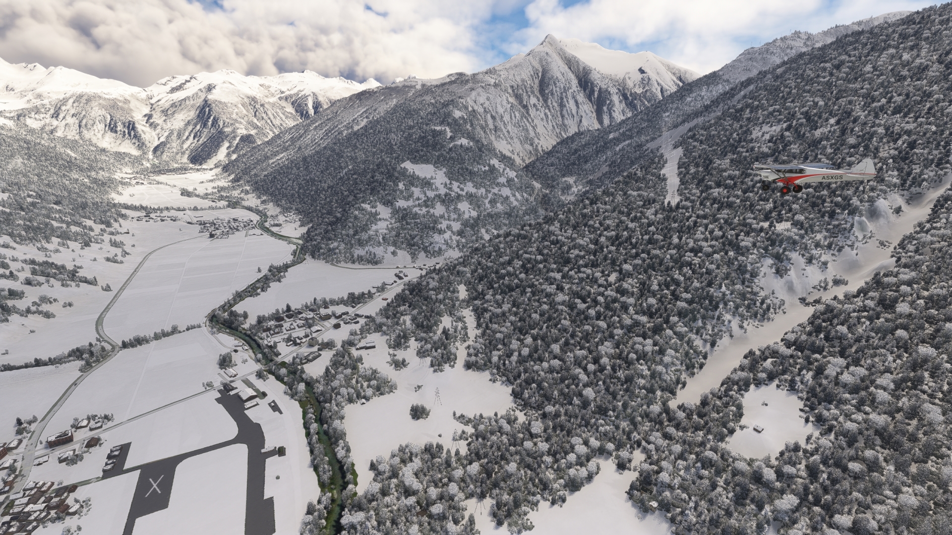
Depart Münster Airport and gain altitude as fast as the XCub can climb while flying northeast up the Rhone Valley. Pass over the village of Ulrichen and the decommissioned Ulrichen Airport.
Ulrichen(POI29) to Lake Zott(POI30)
Distance: 9.12NM Bearing: 115° 4 minutes
Turn onto a southeastern course over Ulrichen and follow mountain road 413 through the steep Aegina Valley. Gain a visual on Lake Gries, located to the southwest of the series of switchbacks of road 413, and pass to its northeast. Maintain heading and pass just to the north of Fischsee (Fish Lake) and cross into Italy, passing just to the north of Marchhorn. Gain a visual on Lake Zött, a mountain reservoir identifiable by the dam on its northeast end.

Lake Zott(POI30) to Locarno(POI31)
Distance: 20.15NM Bearing: 141° 10 minutes
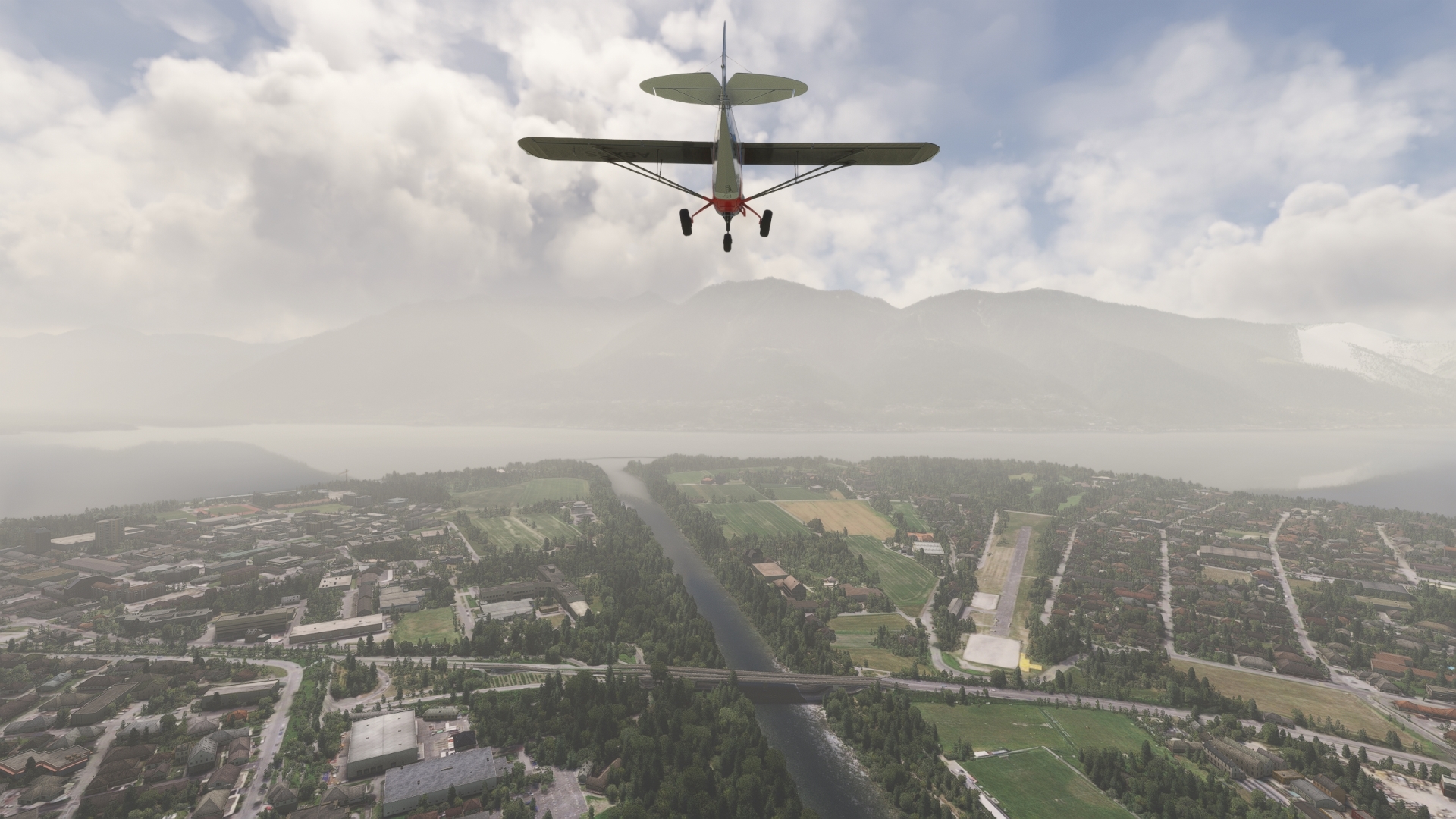
Adjust course slightly to the south above Lake Zött and descend into the Bavona Valley. Follow the Bavona River and then the Maggia River to the city of Locarno on the shore of Lake Maggiore.
The Treaty of Locarno, signed in 1925, marked a decisive moment in European post-war diplomacy. Through it, Germany, France, and Belgium committed themselves to mutual recognition of their borders, which was seen as a significant step towards stabilizing the continent. Since then, the Locarno Treaties have symbolized the vision of a Europe united in peace.
Locarno(POI31) to Laveno(POI32)
Distance: 16.71NM Bearing: 203° 8 minutes
Turn southwest and fly over Lake Maggiore, following its eastern shoreline, appreciating the legendary natural beauty of this part of the Alps has inspired numerous artists and travelers through the centuries.
Gain a visual on the small bay where the shoreline of the lake turns to the south-southeast. Pass over the town of Laveno, located at the head of the bay. Due to its spectacular setting, Laveno is a popular destination for tourists from throughout the world.

Laveno(POI32) to Varese(POI33)
Distance: 10.23NM Bearing: 120° 5 minutes
Turn to the southeast and gain a visual on Lake Varese. Pass to the east of the lake, parallel with its eastern shoreline, to reach the city of Varese. The city is built atop seven hills and surrounded by mountains of the Campo dei Fiori di Varese range.

Varese(POI33) to Lugano Airport(LSZA)
Distance: 11.99NM Bearing: 17° 6 minutes
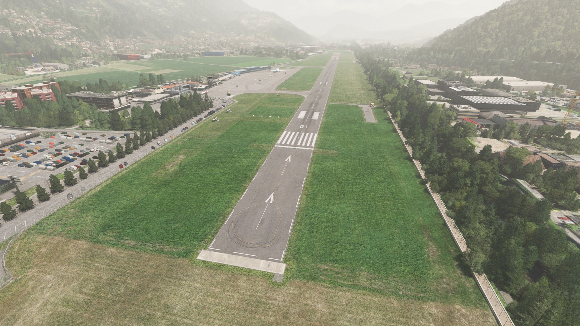
Adjust heading to the northeast over Varese, keeping slightly east of the ridge of high mountains of the Campo dei Fiori di Varese range. Gain a visual on Lake Lugano and pass over its western arm (and back into Switzerland), maintaining a northeastern course. Land at Lugano Airport (LSZA), located just inland of the northern extremity of the western arm of Lake Lugano.
Leg 6
Lugano Airport to Samedan
Leg Distance: 90.29 Approximate time at 125kts: 43 minutes.
Lugano Airport(LSZA) to Three Fortresses of Bellinzona(POI34)
Distance: 12.27NM Bearing: 20° 6 minutes
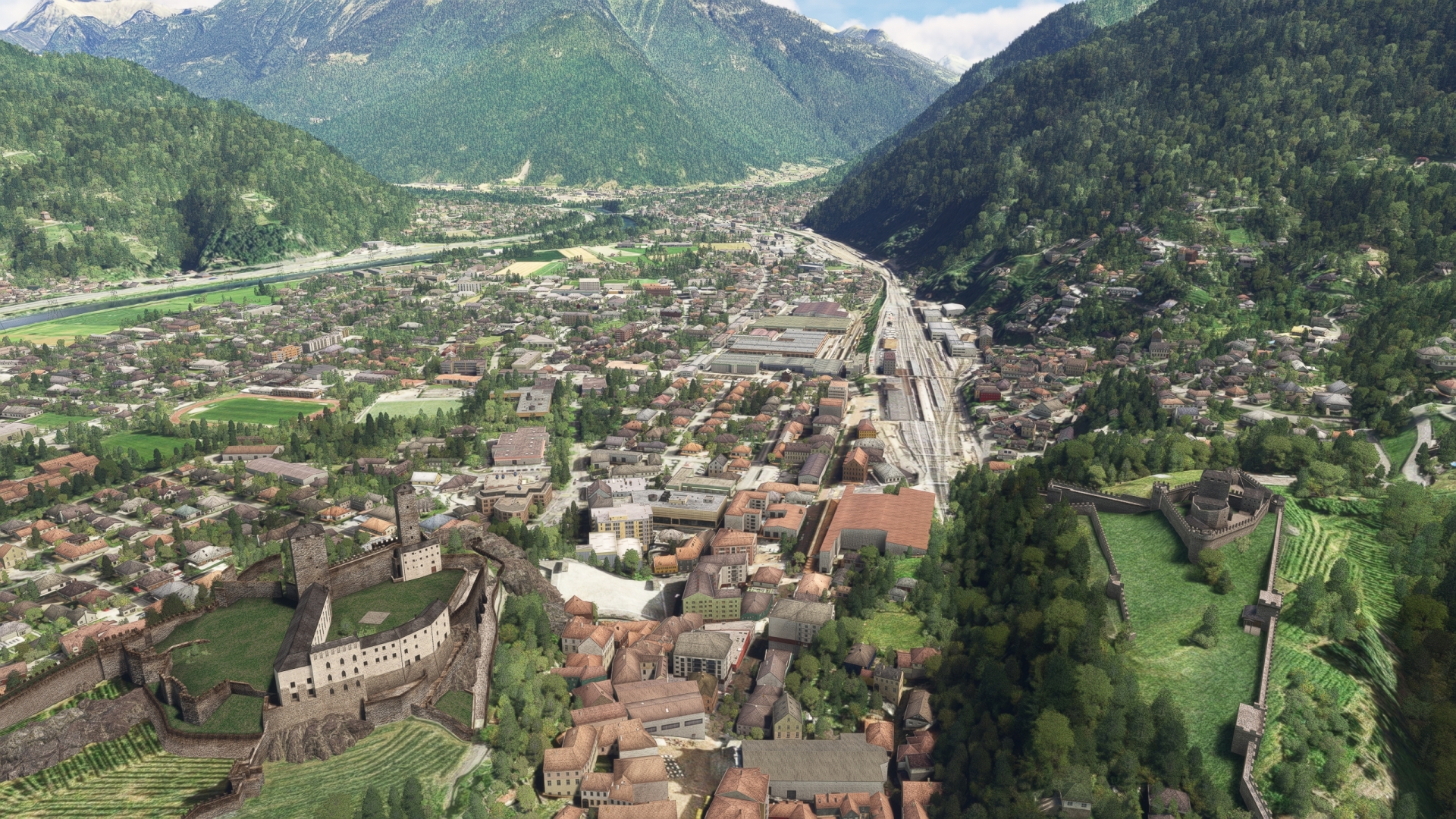
Return to the air and head to the northeast, following highway 2 over Ceneri Pass into the Ticino Valley. Continue following highway 2 to the town of Bellinzola, location of three fortresses: the Great Fortress, the Montebello Fortress and the Sasso Corbaro Fortress.
Three Fortresses of Bellinzona(POI34) to Arbedo-Castione(POI35)
Distance: 1.97NM Bearing: 20° 1 minutes
Continue on course from the Three Fortresses of Bellinzona to the town of Arbedo-Castione, located where the Mesolcina Valley meets the Ticino Valley.

Arbedo-Castione(POI35) to Hinterrhein(POI36)
Distance: 19.13NM Bearing: 14° 9 minutes
Gaining altitude, follow the Mesolcina valley and highway 13 to the valley’s end. Sight the Vogelberg (Bird Mountain), the source of the Rhine, at this point called the Hinterrhein.
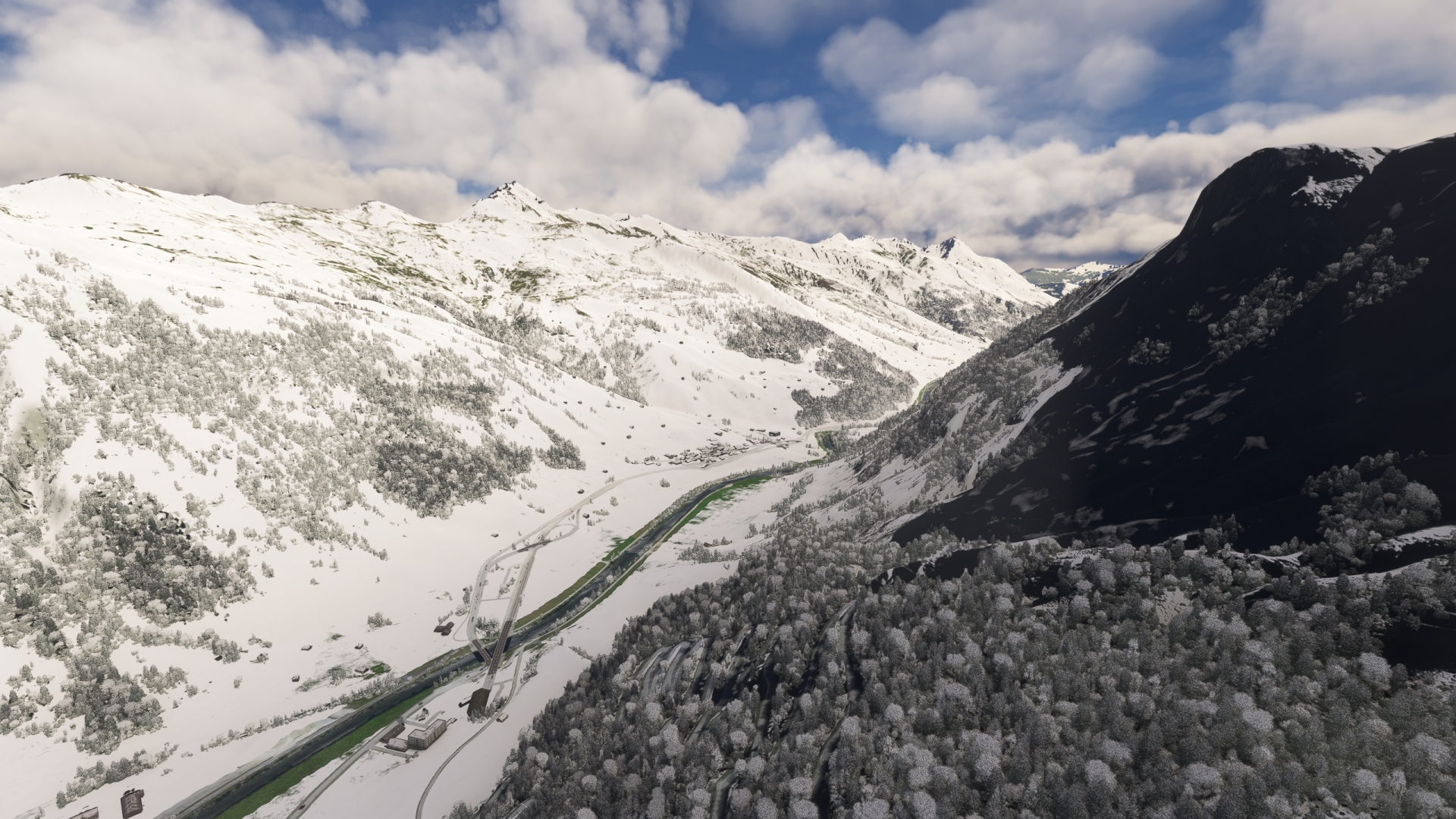
Hinterrhein(POI36) to Lake Sufner(POI37)
Distance: 8.17NM Bearing: 68° 4 minutes
Turn northeast and follow the valley of the Hinterrhein to Lake Sufner, a reservoir used for water regulation.

Lake Sufner(POI37) to Thusis(POI38)
Distance: 8.27NM Bearing: 17° 4 minutes
Follow highway 13 and the river to the municipality of Thusis, where national road 29 joins highway 13 from the east.
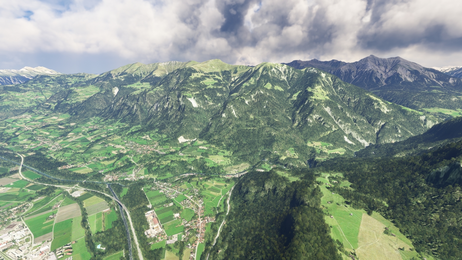
Thusis(POI38) to Albula(POI39)
Distance: 5.61NM Bearing: 107° 3 minutes
Turn sharply to the east-southeast and follow national road 29 to the municipality of Albula. Make a note of this point, as you will be returning here shortly.
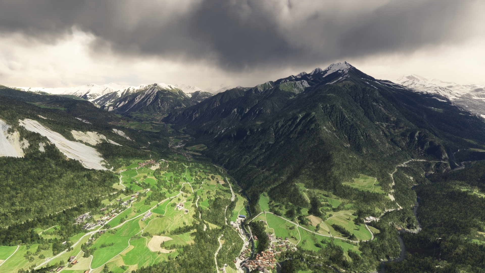
Albula(POI39) to Landwasser Viaduct(POI40)
Distance: 4.38NM Bearing: 72° 2 minutes
Adjust course to the northeast and follow the Albula River to the municipality of Filisur. North of Filisur, the river Landwasser cuts through a deep gorge and a spectacular bridge, the Landwasser Viaduct, spans the river.
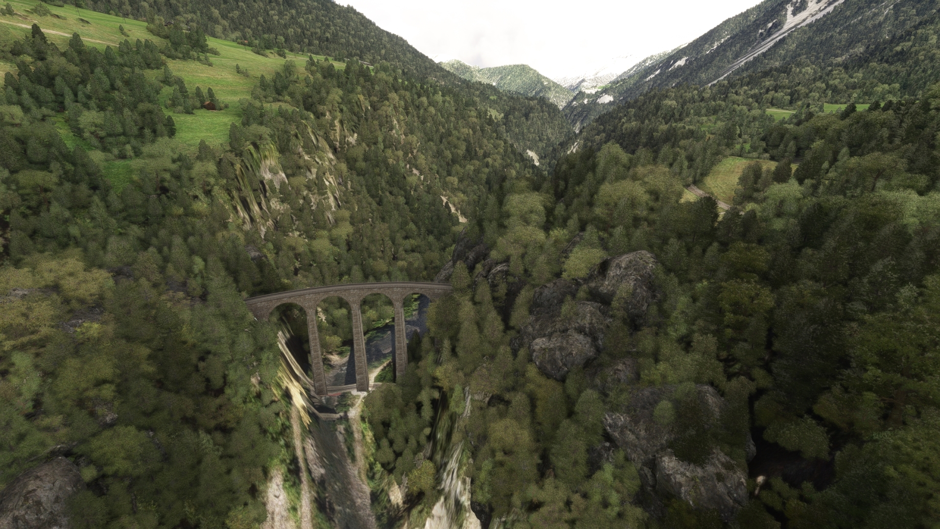
Landwasser Viaduct(POI40) to Gelgia Valley(POI41)
Distance: 4.48NM Bearing: 239° 2 minutes
After visiting the Landwasser Viaduct, fly back toward Albula and pass over the Gelgia Valley, located just south of Albula.
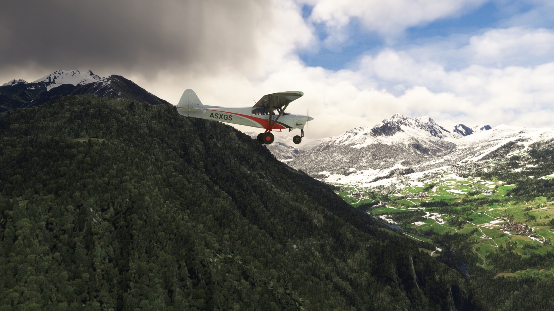
Gelgia Valley(POI41) to Lake Marmorera(POI42)
Distance: 9.88NM Bearing: 162° 5 minutes
Turn onto a southerly course and enter the Gelgia Valley while climbing to 10,000 feet above sea level. Gain a visual on the Marmorera Dam, which holds back Lake Marmorera, and pass over it. When the dam was completed in 1954, the rising lake covered the original village of Marmorera, which was rebuilt above the waterline.
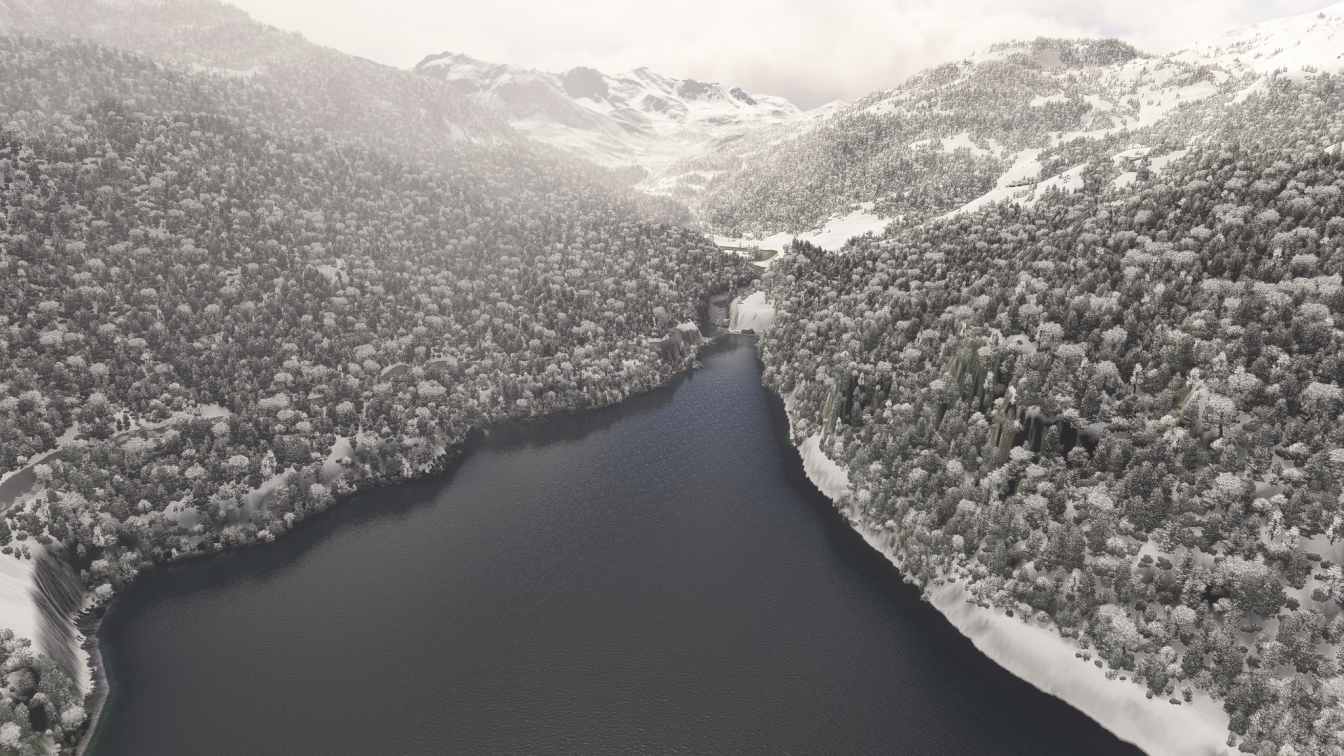
Lake Marmorera(POI42) to Source of the Inn(POI43)
Distance: 4.42NM Bearing: 158° 2 minutes
Maintain course and fly towards the 9,616 feet-high summit of Mount Grevasalvas, shaped like a crown. Once past Mount Grevasalvas, gain a visual on the small Lake Lunghin, a glacial lake. The lake is fed by several streams and is considered the source of the River Inn, the third largest tributary of the Danube.
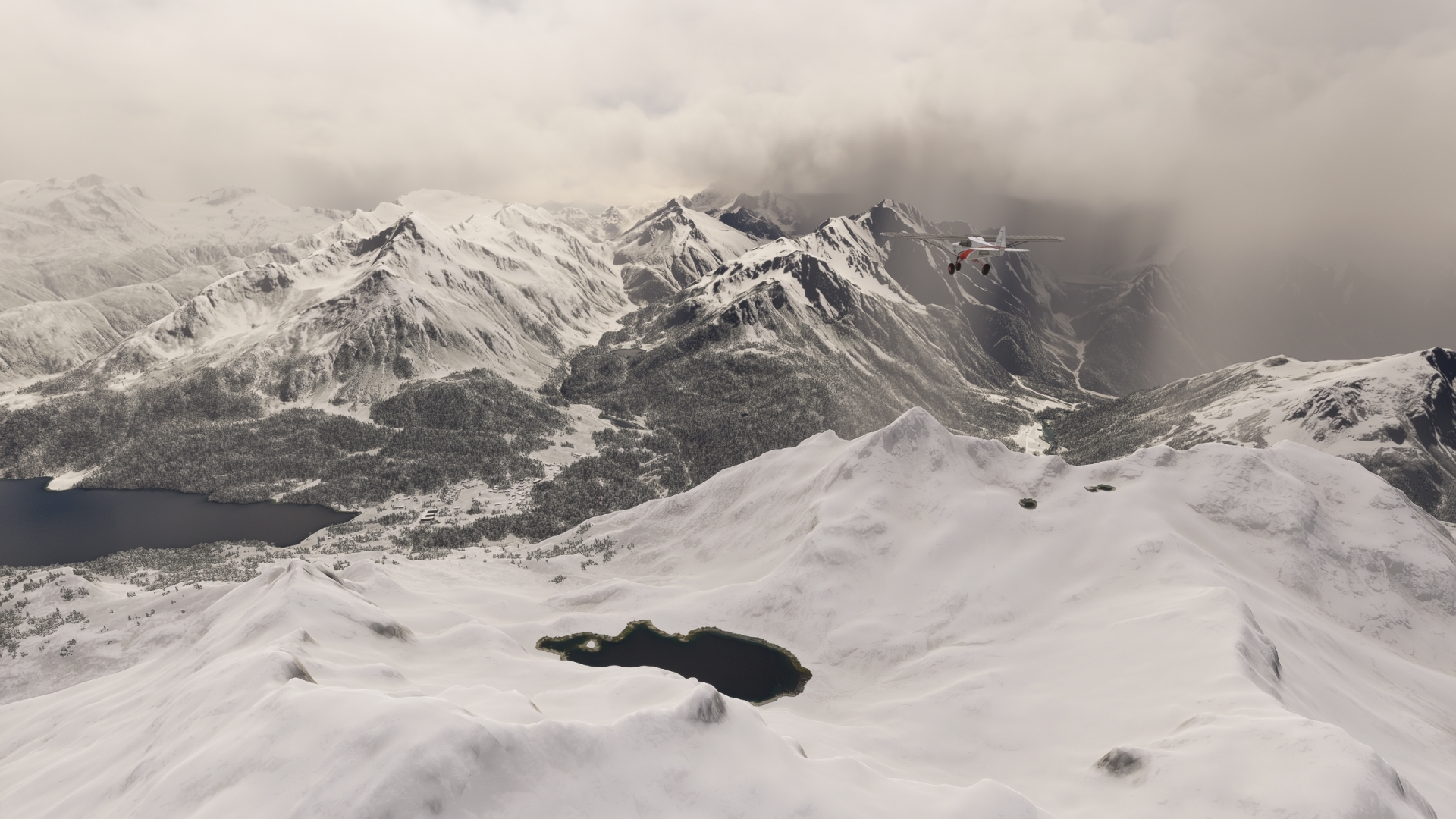
Source of the Inn(POI43) to Lake Sils(POI44)
Distance: 2.87NM Bearing: 77° 1 minutes
Change course to the east and gain a visual on Lake Sils, located in the upper Engadine Valley. Reduce throttle to idle, extend flaps, and glide down toward the lake. Fly over the in a northeasterly direction, to see the narrow Chastè peninsula protruding into the lake from its eastern shore.
The philosopher Friedrich Nietzsche often spent time in the seclusion of this peninsula. The Nietzsche memorial stone was erected in his honor at the southern tip in the year of the philosopher’s death (1900).
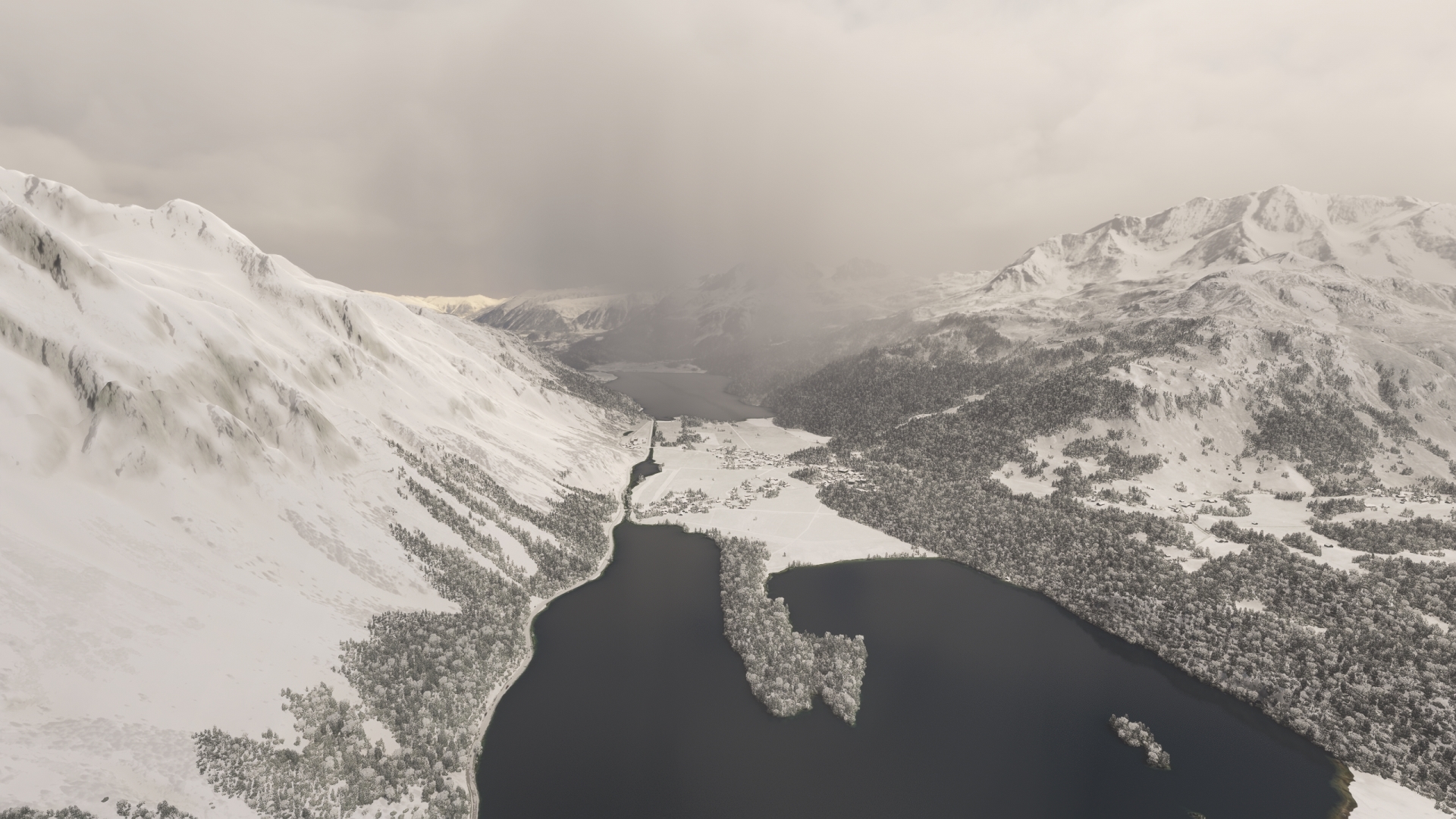
Lake Sils(POI44) to Sankt Moritz(POI45)
Distance: 5.35NM Bearing: 42° 3 minutes
From Lake Sils, follow the River Inn, which flows through Lake Silvaplana, to the town of Sankt Moritz. The town has hosted several Winter Olympic games and the Alpine World Ski Championships. Several prominent celebrities own properties in and around the town.
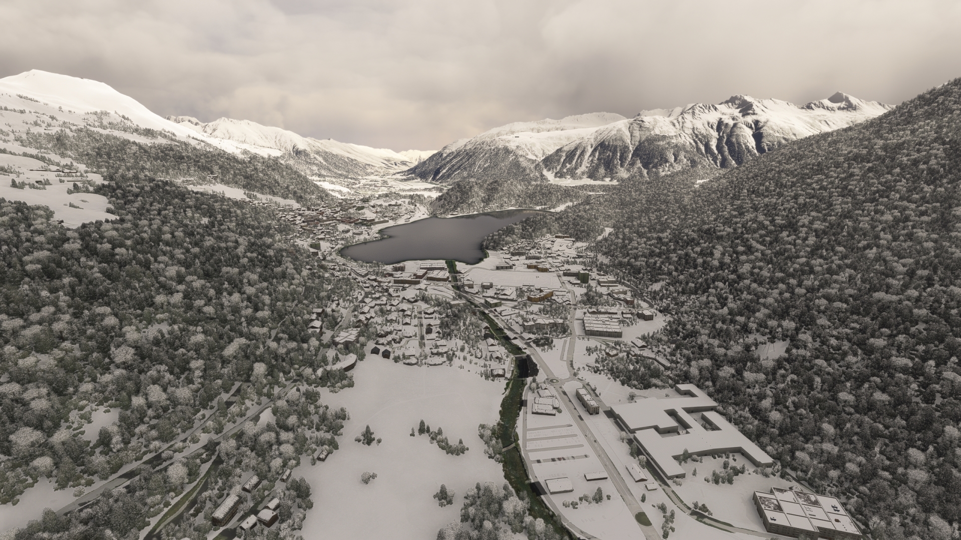
Sankt Moritz(POI45) to Samedan(LSZS)
Distance: 3.49NM Bearing: 32° 2 minutes
Continue on course, passing over St. Moritz Lake, to Samedan Airport, and land.

Leg 7
Samedan to Innsbruck
Leg Distance: 82.3 Approximate time at 125kts: 40 minutes.
Samedan(LSZS) to Zernez(POI46)
Distance: 13.15NM Bearing: 37° 6 minutes
Lift off and set a course to the northeast and follow the valley to the town of Zernez. The town is an important, and historic, crossroads in the Alps. Several roads pass through the town, connecting it with Austria, Italy, and other parts of Switzerland. The river Spöl flows into the river Inn at Zernez.

Zernez(POI46) to Tarasp(POI47)
Distance: 8.42NM Bearing: 52° 4 minutes
Follow the Inn to the north-northwest from Zernez and track it as it wraps around to the east to the town of Tarasp, the location of the Castle of Tarasp.

Tarasp(POI47) to Martina(POI48)
Distance: 10.42NM Bearing: 49° 5 minutes
Guided by the Inn, pass over the village of Martina, located on the border with Austria. A triple border, or border triangle, lies just to the south of Martina, where Austria, Italy, and Switzerland meet.
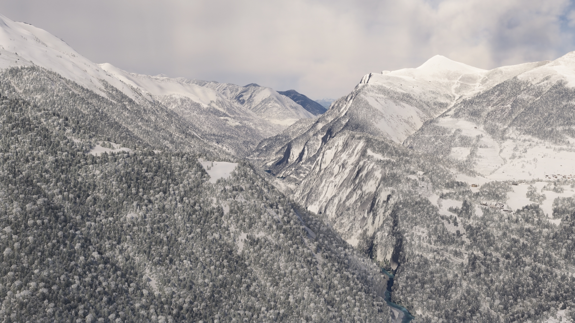
Martina(POI48) to Landeck(POI49)
Distance: 16.03NM Bearing: 11° 8 minutes
The Inn forms the border between Switzerland and Austria and then breaks off to flow exclusively within Austria. Follow the river to the town of Landeck, located within the renowned Austrian state of Tyrol.
Via Claudia Augusta, the oldest Roman road that connected Italy with the Germanic provinces of the former Roman Empire, passed through Landeck.
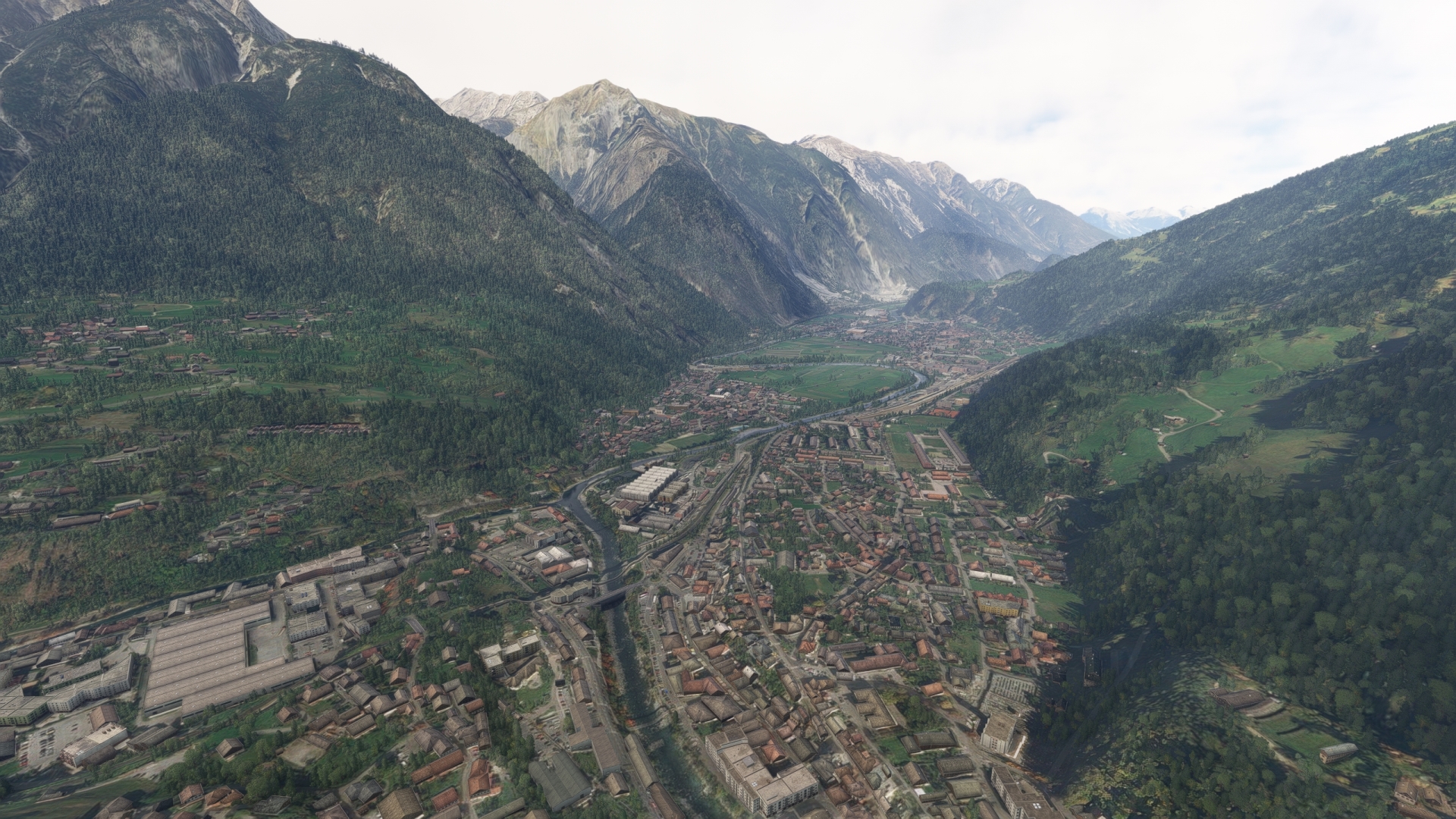
Landeck(POI49) to Imst(POI50)
Distance: 8.89NM Bearing: 54° 4 minutes
The river passes to the south of the prominent mountain Tschirgant, at the base of which lies the town of Imst.
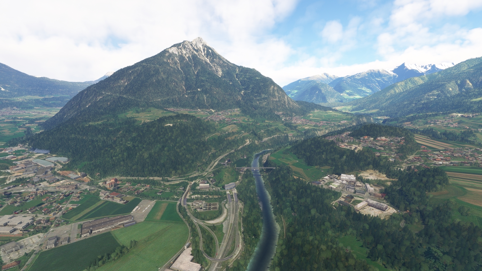
Imst(POI50) to Telfs(POI51)
Distance: 13.99NM Bearing: 64° 7 minutes
Follow the Inn around the southern base of Tschirgant and then continue to the town of Telfs, located where the Inn Valley becomes constricted.
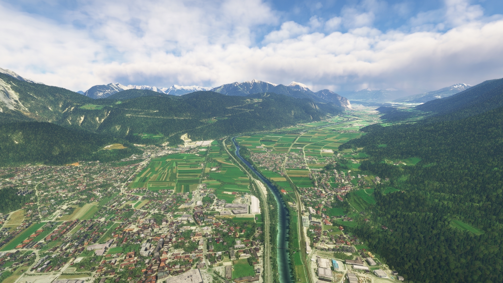
Telfs(POI51) to Innsbruck(LOWI)
Distance: 11.4NM Bearing: 99° 5 minutes
Continue tracking the Inn to the east-southeast to the city of Innsbruck, the capital of Tyrol.
Land at Innsbruck Airport (LOWI) to bring this spectacular journey to a close—and prepare to lift into the sky for the final of the three-trip series: Austria – Land of Mountains and Music.
