This stage of the journey takes you from Oaxaca across to the Yucatán Peninsula, via the coastlines of the Gulf of Mexico and the Caribbean Sea. The mostly flat peninsula is littered with ancient Mayan archaeological sites, some the most popular being Palenque, Chichen-Itza and Tulum, which you’ll visit during this trip. The final part of the stage will take you from the popular spot of Cancun, through the Sian Ka’an Biosphere Reserve, before leaving Mexico and entering Belize via the string of islands along the beautiful Belize Barrier Reef.
Total Legs: 23 Total Distance: 1217 Total Time(125kts): 9 hours 44 minutes
Leg 1
Flying from MMOX
Leg Distance: 50.56 Approximate time at 125kts: 24 minutes.
MMOX(MMOX) to Monte Alban(POI1)
Distance: 3.41NM Bearing: 334° 2 minutes
Head northwest after takeoff, passing the mountaintop archaeological site of Monte Albán
Monte Alban(POI1) to San Juan del Estado(POI2)
Distance: 14.07NM Bearing: 346° 7 minutes
Continue northwest along the right side of the valley
San Juan del Estado(POI2) to Rio Grande(POI3)
Distance: 20.16NM Bearing: 346° 10 minutes
Head north into the next valley which houses the Rio Grande, then continue northwest along the river
Rio Grande(POI3) to MM1X(MM1X)
Distance: 12.92NM Bearing: 330° 6 minutes
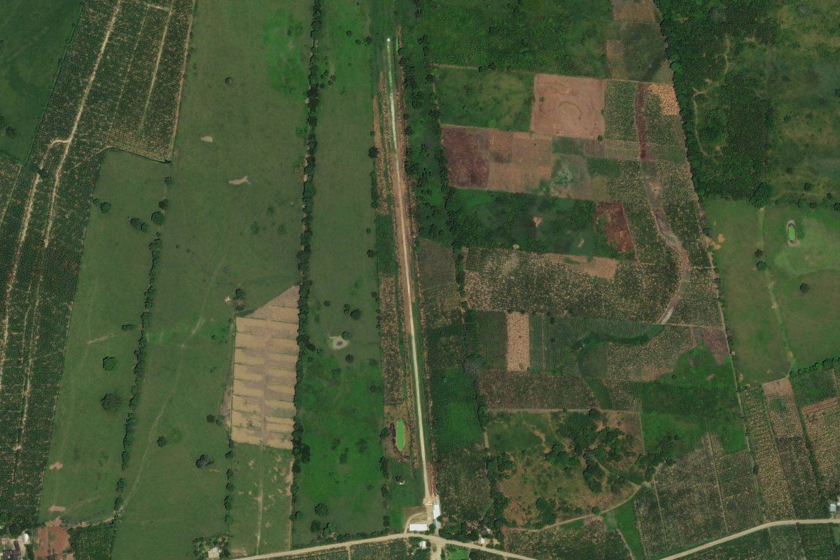
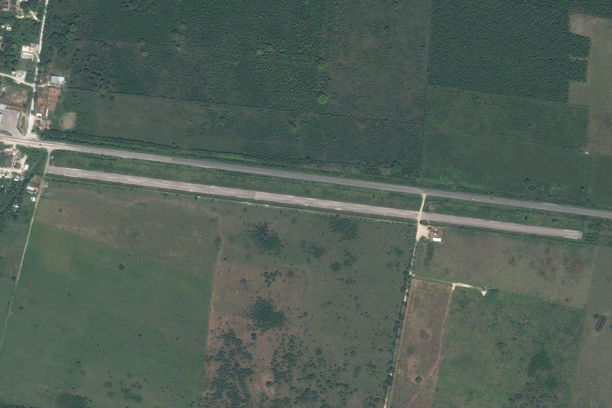
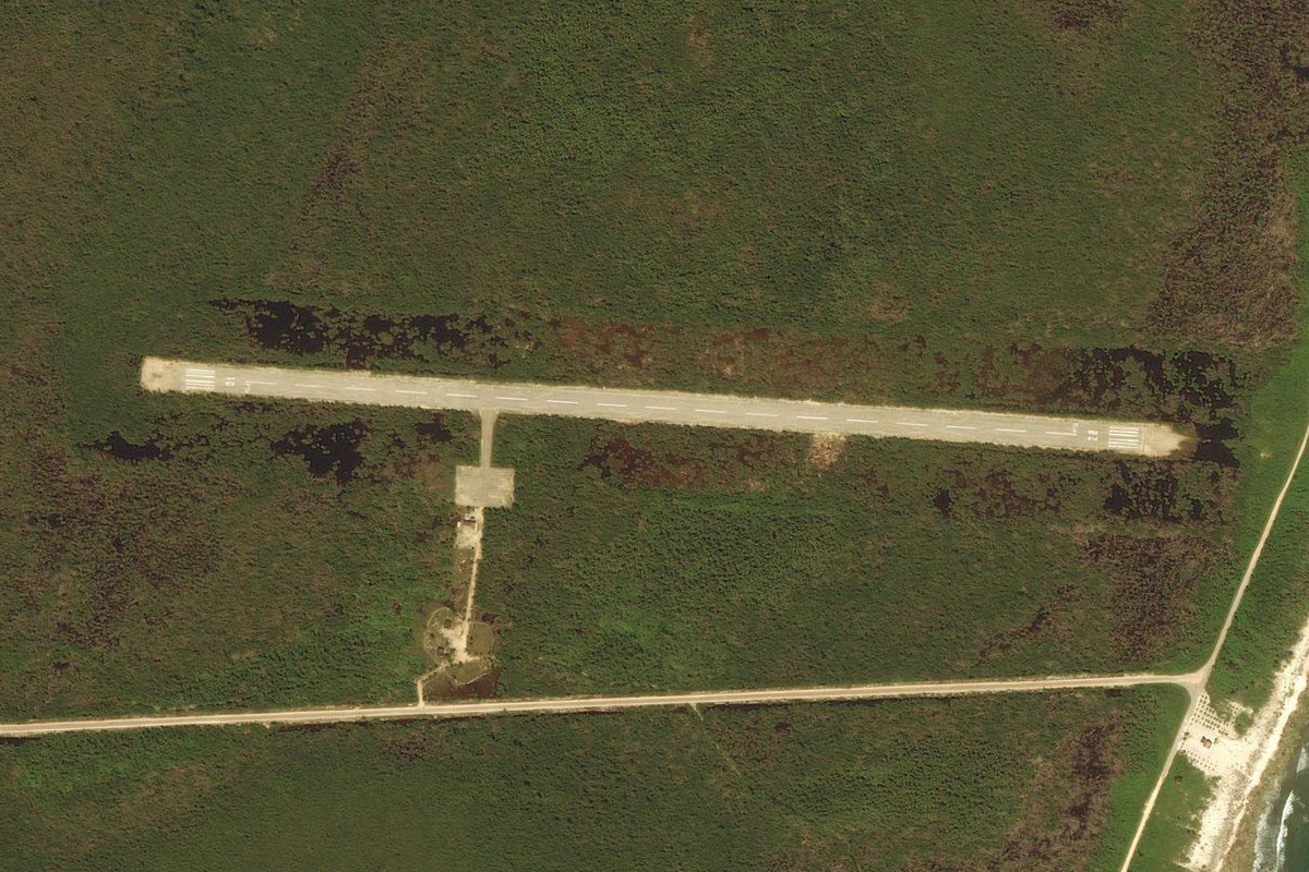
Follow the river northwest to the town of San Juan Bautista Cuicatlán. The airstrip is on the western edge of the town
Leg 2
Flying from MM1X
Leg Distance: 66.76 Approximate time at 125kts: 32 minutes.
MM1X(MM1X) to Rio Grande(POI4)
Distance: 7.17NM Bearing: 354° 3 minutes
After takeoff, continue north along the river, then follow it northeast into a canyon
Rio Grande(POI4) to Rio Grande(POI5)
Distance: 11.23NM Bearing: 51° 5 minutes
Stay with the river canyon as it winds its way northeast
Rio Grande(POI5) to Santo Domingo del Rio(POI6)
Distance: 14.54NM Bearing: 85° 7 minutes
Head all the way through the eastern end of the canyon
Santo Domingo del Rio(POI6) to Lake Miguel Aleman(POI7)
Distance: 15.59NM Bearing: 92° 7 minutes
Head east across the large Miguel Aleman reservoir
Lake Miguel Aleman(POI7) to Tuxtepec(POI8)
Distance: 10.89NM Bearing: 63° 5 minutes
Turn northeast to the town of Tuxtepec
Tuxtepec(POI8) to MMIN(MMIN)
Distance: 7.34NM Bearing: 8° 4 minutes
Head north from Tuxtepec to Aleman airport which is just north of the highway
Leg 3
Flying from MMIN
Leg Distance: 95.51 Approximate time at 125kts: 46 minutes.
MMIN(MMIN) to MEX145D(POI9)
Distance: 30.55NM Bearing: 92° 15 minutes
After takeoff, head east over the river and continue east until you reach the dual carriageway of Federal Highway 145D
MEX145D(POI9) to Acayucan(POI10)
Distance: 38.69NM Bearing: 111° 19 minutes
Follow the highway as it heads southeast past the town of Acayucan
Acayucan(POI10) to Minatitlan(POI11)
Distance: 18.91NM Bearing: 74° 9 minutes
Stay with the highway as it turns to the northeast towards the city of Minatitlán
Minatitlan(POI11) to MMMT(MMMT)
Distance: 7.36NM Bearing: 14° 4 minutes
As you approach the western edge of Minatitlán, turn north and head for the airport a few miles from the coast
Leg 4
Flying from MMMT
Leg Distance: 79.5 Approximate time at 125kts: 38 minutes.
MMMT(MMMT) to Coatzacoalcos(POI12)
Distance: 10.03NM Bearing: 74° 5 minutes
After takeoff, head northeast to the coastal city of Coatzacoalcos
Coatzacoalcos(POI12) to Agua Dulce(POI13)
Distance: 15.6NM Bearing: 91° 7 minutes
From Coatzacoalcos, head east to the town of Agua Dulce
Agua Dulce(POI13) to MEX180D(POI14)
Distance: 6.6NM Bearing: 131° 3 minutes
Turn southeast and meet up with highway 180 heading east, crossing the Tonala River on the way
MEX180D(POI14) to Cardenas(POI15)
Distance: 45.24NM Bearing: 93° 22 minutes
Follow the highway east to the city of Cárdenas
Cardenas(POI15) to MMDQ(MMDQ)
Distance: 2.03NM Bearing: 120° 1 minutes
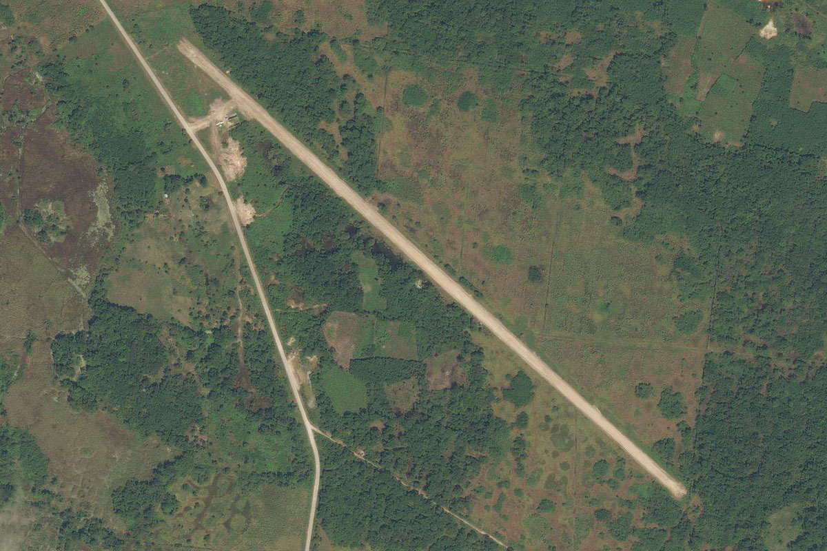
After passing Cárdenas and crossing the Mezcalapa River, look for the small airstrip a mile south of the highway
Leg 5
Flying from MMDQ
Leg Distance: 44.75 Approximate time at 125kts: 21 minutes.
MMDQ(MMDQ) to Villahermosa(POI16)
Distance: 17.26NM Bearing: 87° 8 minutes
Head east to the city of Villahermosa
Villahermosa(POI16) to Laguna El Vigia(POI17)
Distance: 8.09NM Bearing: 85° 4 minutes
From Villahermosa, continue east past the airport to the southern edge of the lake
Laguna El Vigia(POI17) to Laguna Ismate(POI18)
Distance: 8.81NM Bearing: 103° 4 minutes
Turn slightly to the southeast and head along another lake, Ismate
Laguna Ismate(POI18) to MM48(MM48)
Distance: 10.59NM Bearing: 117° 5 minutes
From the southeast reaches of Lake Ismate, head southeast to the town of Pemex, built by the state owned petroleum company. The airstrip is on the edge of the town
Leg 6
Flying from MM48
Leg Distance: 37.46 Approximate time at 125kts: 18 minutes.
MM48(MM48) to Alcalde Mayor(POI19)
Distance: 17.86NM Bearing: 138° 9 minutes
After takeoff, head southeast towards the group of hills, crossing highway 186 on the way
Alcalde Mayor(POI19) to Central Highlands(POI20)
Distance: 11.75NM Bearing: 132° 6 minutes
Continue southeast to the larger mountains of the central highlands
Central Highlands(POI20) to Palenque(POI21)
Distance: 4.99NM Bearing: 114° 2 minutes
Fly southeast along the foot of the mountains, where you will reach the famous Mayan ruins of Palenque, a couple of miles southwest of the town
Palenque(POI21) to MMPQ(MMPQ)
Distance: 2.86NM Bearing: 26° 1 minutes
After viewing the ruins, head north to the airport
Leg 7
Flying from MMPQ
Leg Distance: 74.36 Approximate time at 125kts: 36 minutes.
MMPQ(MMPQ) to Laguna de Catazaja(POI22)
Distance: 14.87NM Bearing: 0° 7 minutes
After takeoff, head north over Lake Catazaja
Laguna de Catazaja(POI22) to Atasta(POI23)
Distance: 47.69NM Bearing: 1° 23 minutes
Continue north towards the gulf coast. When you reach the Atasta Lagoon system just south of the coast, turn to the northeast
Atasta(POI23) to MMCE(MMCE)
Distance: 11.8NM Bearing: 66° 6 minutes
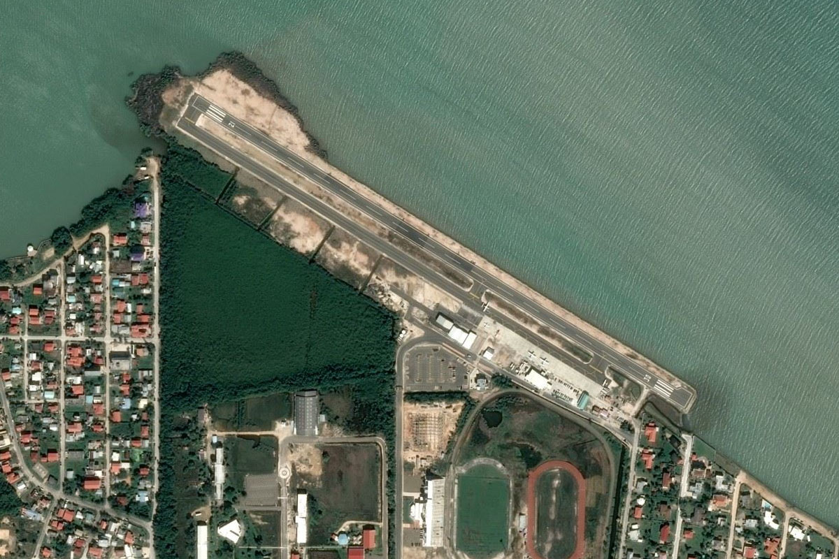
Heading northeast to the western peninsula of Isla del Carmen, you will find the airport in the center of the large town of Ciudad del Carmen
Leg 8
Flying from MMCE
Leg Distance: 66.4 Approximate time at 125kts: 32 minutes.
MMCE(MMCE) to Isla del Carmen(POI24)
Distance: 17.28NM Bearing: 66° 8 minutes
After takeoff, fly to the eastern end of the island, then turn southeast
Isla del Carmen(POI24) to Laguna de Terminos(POI25)
Distance: 16.1NM Bearing: 127° 8 minutes
Head southeast over the lake. When you reach the shore, turn east
Laguna de Terminos(POI25) to MMEF(MMEF)
Distance: 33.02NM Bearing: 90° 16 minutes
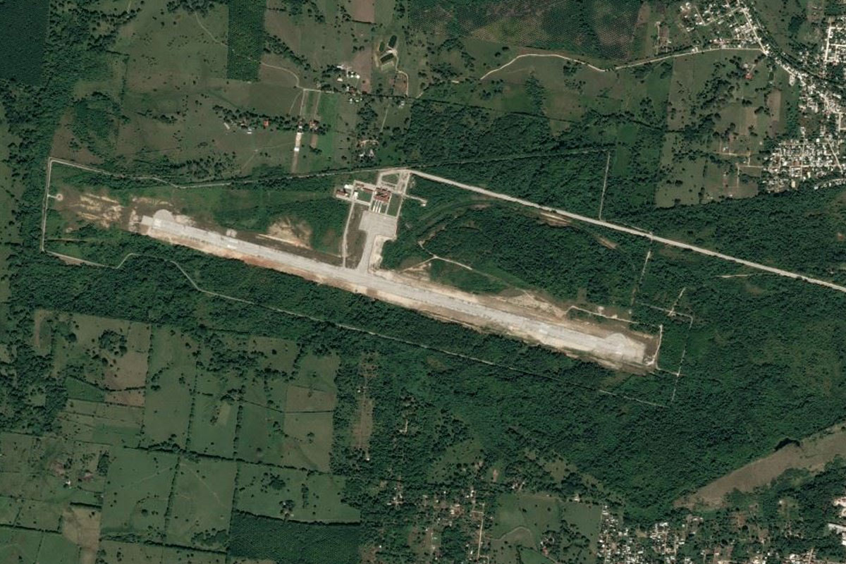
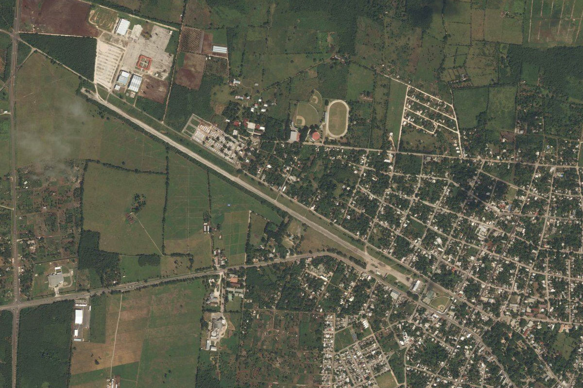
Head east until you reach the town of Escárcega. The runway is at the eastern edge of the town
Leg 9
Flying from MMEF
Leg Distance: 53.11 Approximate time at 125kts: 25 minutes.
MMEF(MMEF) to Champoton(POI26)
Distance: 45.15NM Bearing: 359° 22 minutes
Fly north to the coastal town of Champotón. The Champotón-Escárcega highway will lead the way
Champoton(POI26) to MMLY(MMLY)
Distance: 7.96NM Bearing: 27° 4 minutes
Head northeast from Champotón, staying a couple of miles from the coast. Just southeast of the small town of La Joya is the airport
Leg 10
Flying from MMLY
Leg Distance: 43.98 Approximate time at 125kts: 21 minutes.
MMLY(MMLY) to Seybaplaya(POI27)
Distance: 10.67NM Bearing: 1° 5 minutes
After takeoff, head north until you reach highway 180D near the coastal town of Seybaplaya
Seybaplaya(POI27) to Campeche(POI28)
Distance: 12.54NM Bearing: 35° 6 minutes
Follow the highway northeast to the city of Campeche
Campeche(POI28) to MMTS(MMTS)
Distance: 20.77NM Bearing: 99° 10 minutes
When you reach Campeche, head east and follow the minor highway to the town of Tikinmul. Just east of the town is the grass airfield of El Cayal
Leg 11
Flying from MMTS
Leg Distance: 56.62 Approximate time at 125kts: 27 minutes.
MMTS(MMTS) to Pomuch(POI29)
Distance: 23.01NM Bearing: 2° 11 minutes
After takeoff, fly north until you reach the MEX180 highway
Pomuch(POI29) to Maxcanu(POI30)
Distance: 27.57NM Bearing: 23° 13 minutes
Follow the highway northeast to the town of Maxcanú, where it will turn further away to the east
Maxcanu(POI30) to MMMN(MMMN)
Distance: 6.04NM Bearing: 283° 3 minutes
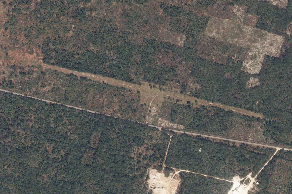
The grass airfield is a few miles west of the town
Leg 12
Flying from MMMN
Leg Distance: 31.39 Approximate time at 125kts: 15 minutes.
MMMN(MMMN) to MEX180(POI31)
Distance: 19.28NM Bearing: 53° 9 minutes
Head northeast back to the highway
MEX180(POI31) to MMMD(MMMD)
Distance: 12.11NM Bearing: 46° 6 minutes
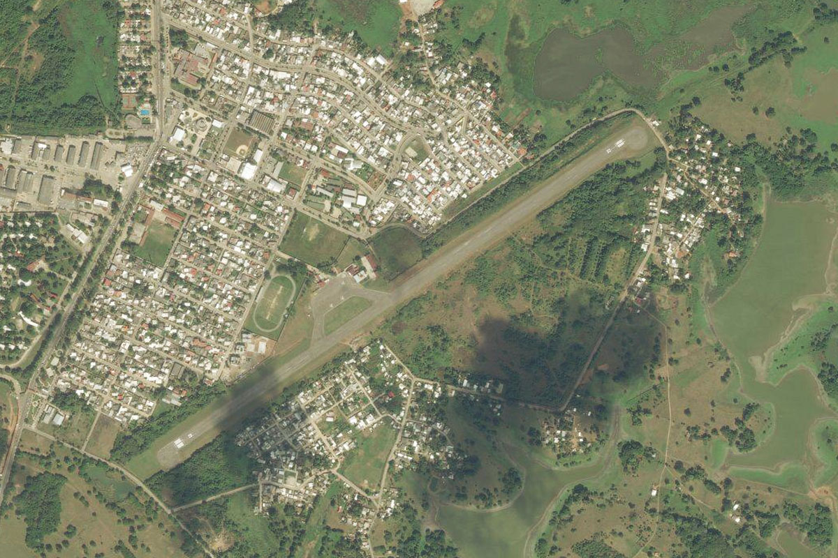
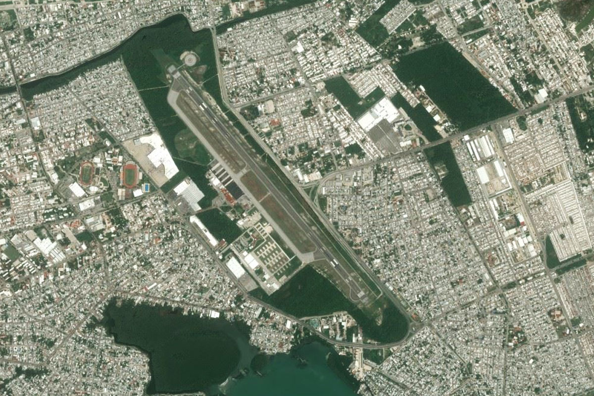
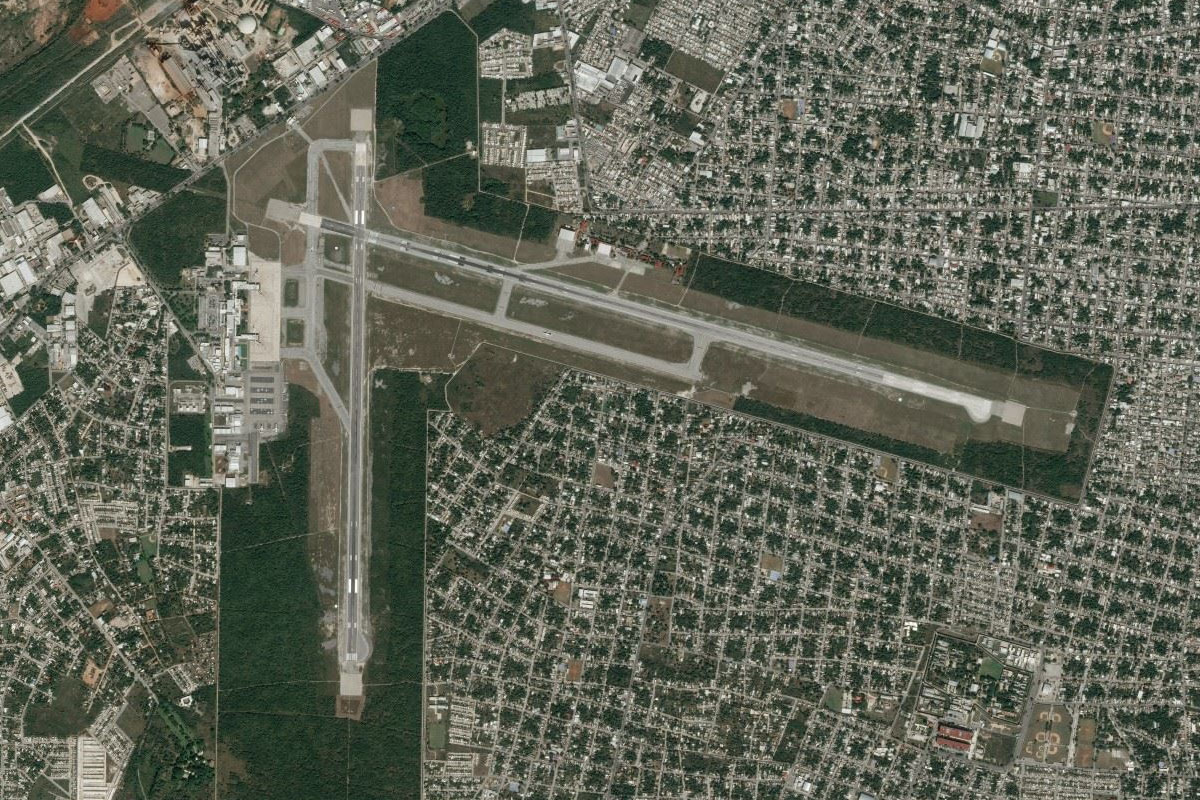
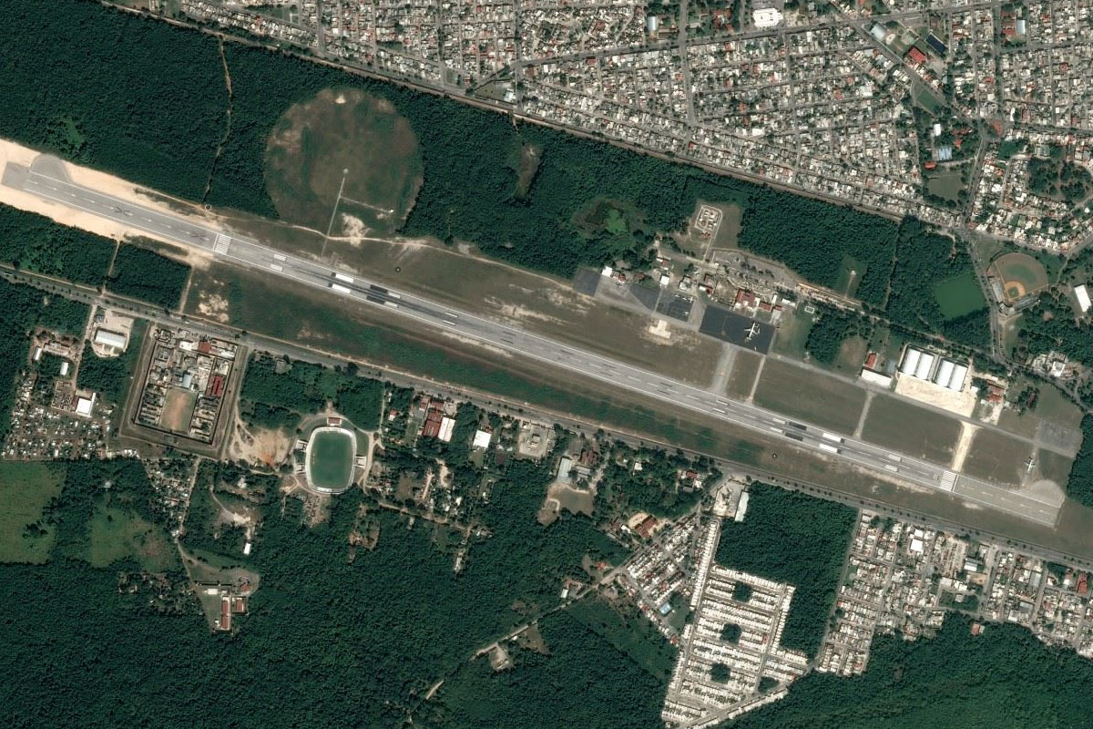
Follow the highway northeast to the large city of Mérida, the capital of the state of Yucatán. The airport is on the southwestern edge of the city
Leg 13
Flying from MMMD
Leg Distance: 65.63 Approximate time at 125kts: 32 minutes.
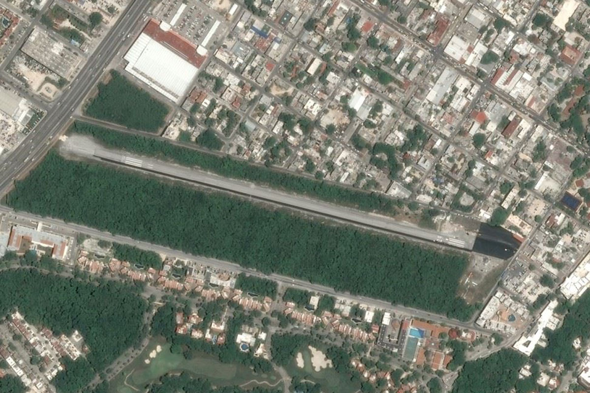
MMMD(MMMD) to Merida(POI32)
Distance: 3.32NM Bearing: 53° 2 minutes
After takeoff, head northeast to the center of Mérida, and a look at the San Ildefonso Cathedral, a major icon of the city
Merida(POI32) to Ticopo(POI33)
Distance: 10.25NM Bearing: 117° 5 minutes
Fly southeast from Mérida and meet up with highway 180 as it heads in an easterly direction
Ticopo(POI33) to Piste(POI34)
Distance: 49.57NM Bearing: 103° 24 minutes
Follow the large dual carriageway highway east until you reach the interchange and toll center just north of the town of Pisté
Piste(POI34) to MM74(MM74)
Distance: 2.49NM Bearing: 161° 1 minutes
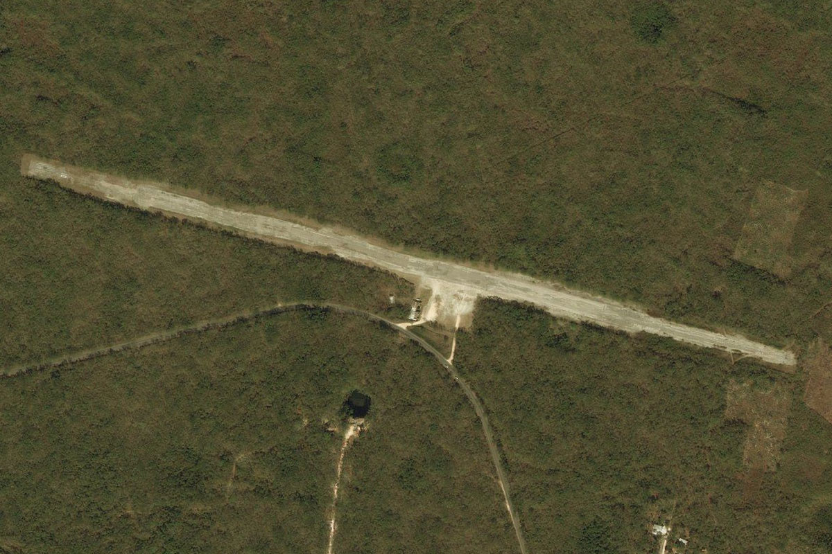
Turn south from the highway to land at the Old Chichen Itza Airport, just east of Pisté
Leg 14
Flying from MM74
Leg Distance: 49.65 Approximate time at 125kts: 24 minutes.
MM74(MM74) to Chichen-Itza(POI35)
Distance: 0.56NM Bearing: 188° 0 minutes
Just a mile south of the airport is the ancient Mayan temple complex of Chichén-Itzá
Chichen-Itza(POI35) to Valladolid(POI36)
Distance: 20.42NM Bearing: 90° 10 minutes
After visiting Chichén-Itzá, head east past the new airport, to the city of Valladolid
Valladolid(POI36) to Tizimin(POI37)
Distance: 27.22NM Bearing: 8° 13 minutes
Follow the highway north to the large town of Tizimín
Tizimin(POI37) to MM72(MM72)
Distance: 1.45NM Bearing: 303° 1 minutes
The airstrip is at the northwestern edge of town
Leg 15
Flying from MM72
Leg Distance: 54.9 Approximate time at 125kts: 26 minutes.
MM72(MM72) to El Cuyo(POI38)
Distance: 31.67NM Bearing: 46° 15 minutes
After takeoff, head northeast until you reach the coast
El Cuyo(POI38) to Caracol(POI39)
Distance: 17.46NM Bearing: 105° 8 minutes
Head east along the coast. When you reach the circular bay, turn northeast
Caracol(POI39) to MMKA(MMKA)
Distance: 5.77NM Bearing: 62° 3 minutes
Head across to the peninsula and the town of Holbox and the grass airfield
Leg 16
Flying from MMKA
Leg Distance: 46.27 Approximate time at 125kts: 22 minutes.
MMKA(MMKA) to Isla Cabo Catoche(POI40)
Distance: 17.04NM Bearing: 78° 8 minutes
Head east along the coastline
Isla Cabo Catoche(POI40) to Isla Blanca(POI41)
Distance: 18.09NM Bearing: 127° 9 minutes
Follow the coastline southeast, then continue southeast to the long, thin strip of land of Isla Blanca
Isla Blanca(POI41) to Playa Isla Blanca(POI42)
Distance: 4.66NM Bearing: 161° 2 minutes
Continue southeast to where the land narrows at Isla Blanca Beach, then head southeast across to the island of Mujeres
Playa Isla Blanca(POI42) to MMIM(MMIM)
Distance: 6.48NM Bearing: 157° 3 minutes
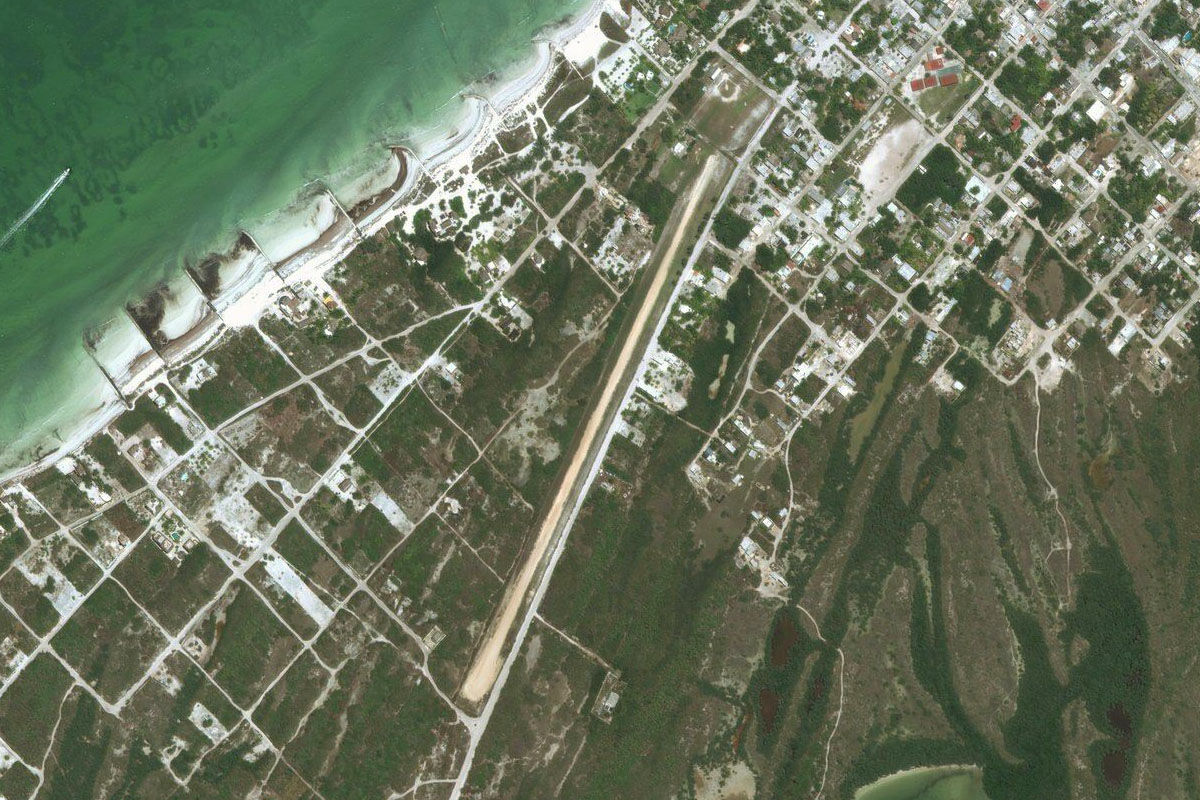
The airport dominated the northern half of the popular holiday island
Leg 17
Flying from MMIM
Leg Distance: 44.48 Approximate time at 125kts: 21 minutes.
MMIM(MMIM) to Cancun(POI43)
Distance: 5.08NM Bearing: 228° 2 minutes
Head southwest across the bay towards the city of Cancún
Cancun(POI43) to Zona Hotelera(POI44)
Distance: 4.32NM Bearing: 162° 2 minutes
Turn south and follow the thin strip of land which houses the hotel resort and nightlife district
Zona Hotelera(POI44) to Puerto Morelos(POI45)
Distance: 17.32NM Bearing: 201° 8 minutes
Continue south along the coast, passing the international airport
Puerto Morelos(POI45) to MXQC(MXQC)
Distance: 17.76NM Bearing: 224° 9 minutes
Follow the coastline around to the city of Playa del Carmen, and the small airport at it's southern edge
Leg 18
Flying from MXQC
Leg Distance: 31.06 Approximate time at 125kts: 15 minutes.
MXQC(MXQC) to Puerto Aventuras(POI46)
Distance: 12.41NM Bearing: 230° 6 minutes
Follow the coast southeast
Puerto Aventuras(POI46) to MMTU(MMTU)
Distance: 18.65NM Bearing: 217° 9 minutes
Continue along the coast to the town of Tulum. The airport is just to the north of the town
Leg 19
Flying from MMTU
Leg Distance: 37.27 Approximate time at 125kts: 18 minutes.
MMTU(MMTU) to Punta Allen(POI47)
Distance: 25.85NM Bearing: 188° 12 minutes
After takeoff, head south along the coast. The Mayan ruins of Tulum are on the coast just south of the airport
Punta Allen(POI47) to MMUC(MMUC)
Distance: 11.42NM Bearing: 167° 5 minutes
From the thin parcel of land at Punta Allen, head south across the mouth of the large bay to another thin strip of land where you'll find Punta Pajaros airstrip
Leg 20
Flying from MMUC
Leg Distance: 35.92 Approximate time at 125kts: 17 minutes.
MMUC(MMUC) to Playa Blanca(POI48)
Distance: 7.84NM Bearing: 188° 4 minutes
After takeoff, continue following the coast south
Playa Blanca(POI48) to Sian Ka’an(POI49)
Distance: 6.66NM Bearing: 224° 3 minutes
Head southwest along the coastal lagoons of the Sian Ka'an Biosphere Reserve
Sian Ka’an(POI49) to Espiritu Santo Bay(POI50)
Distance: 6.8NM Bearing: 159° 3 minutes
As you reach the southern point of the reserve, head southeast across Espiritu Santo Bay
Espiritu Santo Bay(POI50) to Mosquitero(POI51)
Distance: 7.59NM Bearing: 215° 4 minutes
Fly southwest along the coast, passing the large Mosquitero Lagoon
Mosquitero(POI51) to MMXH(MMXH)
Distance: 7.03NM Bearing: 189° 3 minutes
Continue south along the coast to Pulticub Airport
Leg 21
Flying from MMXH
Leg Distance: 70.03 Approximate time at 125kts: 34 minutes.
MMXH(MMXH) to Laguna de Bacalar(POI52)
Distance: 37.95NM Bearing: 252° 18 minutes
Head southwest after takeoff, passing the northern tip of Chetumal Bay on your way to the long river-like Bacalar Lagoon
Laguna de Bacalar(POI52) to Xul-Ha(POI53)
Distance: 24.19NM Bearing: 221° 12 minutes
Follow the lagoon southwest
Xul-Ha(POI53) to MMCM(MMCM)
Distance: 7.89NM Bearing: 111° 4 minutes
When you reach the south end of the lagoon, turn east and head for the airport
Leg 22
Flying from MMCM
Leg Distance: 49.68 Approximate time at 125kts: 24 minutes.
MMCM(MMCM) to Chetumal Bay(POI54)
Distance: 16.86NM Bearing: 118° 8 minutes
Head east past the city of Chetumal, and across the bay
Chetumal Bay(POI54) to Ambergris Caye(POI55)
Distance: 16.66NM Bearing: 141° 8 minutes
Head southeast across the bay to Belize's largest island, Ambergris Caye
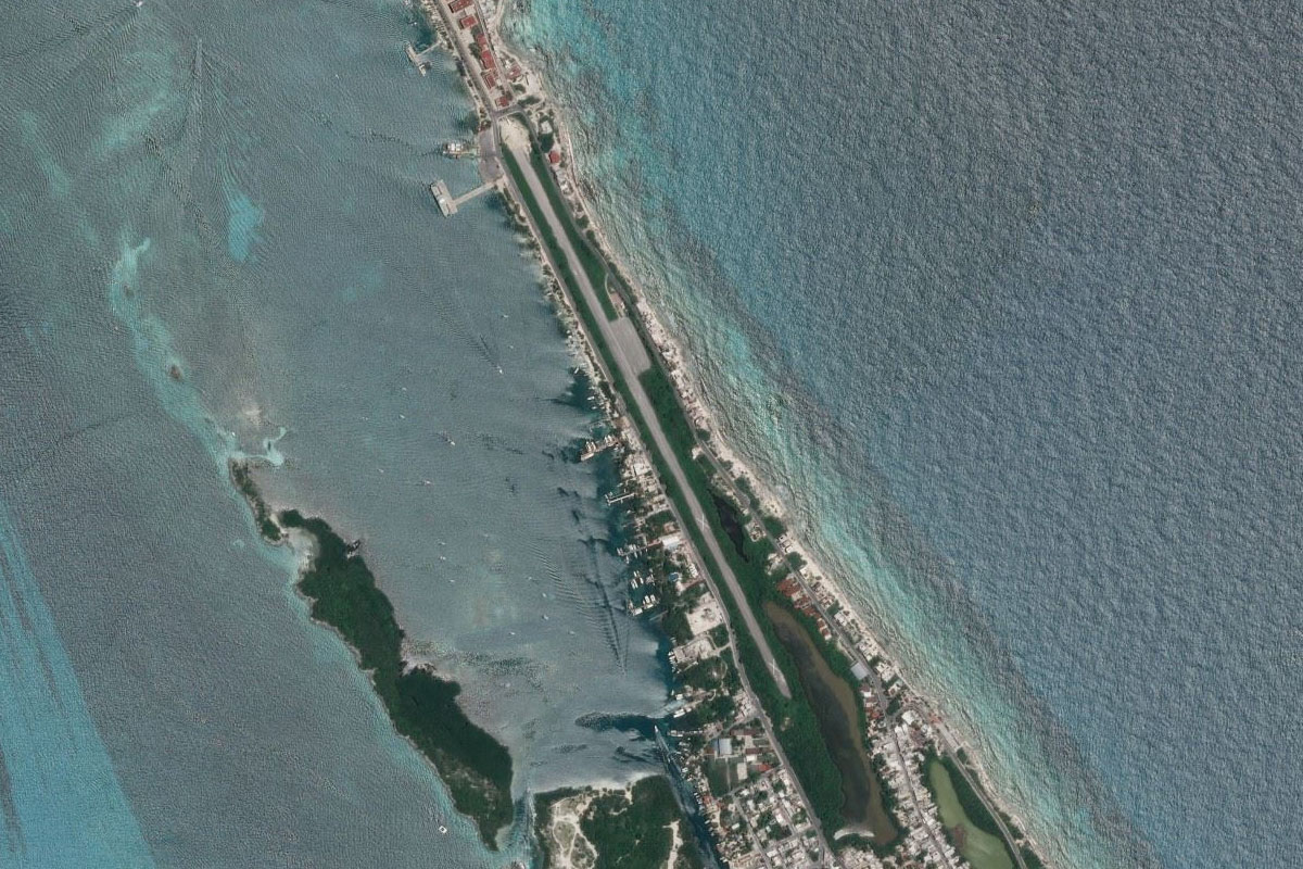
Ambergris Caye(POI55) to MZ10(MZ10)
Distance: 16.16NM Bearing: 202° 8 minutes
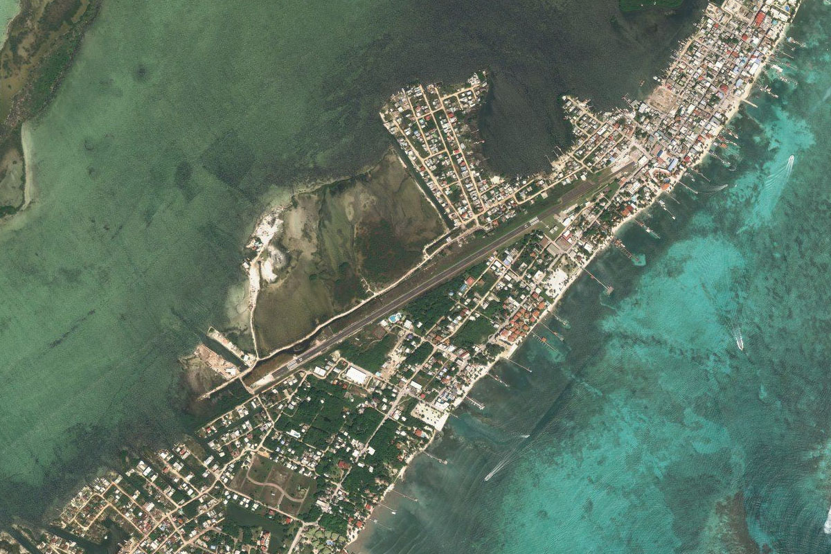
Fly to the south end of the island to the airport at San Pedro Town
Leg 23
Flying from MZ10
Leg Distance: 32.02 Approximate time at 125kts: 15 minutes.
MZ10(MZ10) to Mosquito Coast(POI56)
Distance: 3.67NM Bearing: 228° 2 minutes
After takeoff, head to the southern end of the island
Mosquito Coast(POI56) to Caye Chapel(POI57)
Distance: 10.29NM Bearing: 189° 5 minutes
Head south over the islands of Caye Caulker and Caye Chapel, part of the Belize Barrier Reef which is the 2nd largest after Australia's Great Barrier Reef
Caye Chapel(POI57) to Long Caye(POI58)
Distance: 4.67NM Bearing: 201° 2 minutes
Continue island hopping south
Long Caye(POI58) to St. George’s Caye(POI59)
Distance: 4.68NM Bearing: 188° 2 minutes
Continue over Hicks Cays and the populated St George's Caye
St. George’s Caye(POI59) to Drowned Cays(POI60)
Distance: 2.43NM Bearing: 194° 1 minutes
Head south to the mangroves and lagoons of Drowned Cays
Drowned Cays(POI60) to MZBE(MZBE)
Distance: 6.28NM Bearing: 275° 3 minutes
From Drowned Cays, head west to Belize City Municipal Airport, and the end of this stage