
Stage 18 of the tour finishes part 1 of North America before we head to South America. Nicaragua, Costa Rica and Panama provide the backdrop here, with mountains, tropical forests, beaches and islands all on show. From Managua you’ll explore some more volcanoes near Lake Nicaragua, the largest lake in Central America, before heading to the capital of Costa Rica, San Jose. A journey along the Caribbean coast before heading south over the Talamanca Mountain Range to the Pacific side and one of the featured airports in MSFS, Sirena Station. The journey will then head through Panama and include a flight along the famous Panama Canal and a visit to the capital, Panama City, before heading east to your destination in Colombia.
Total Legs: 24 Total Distance: 1011 Total Time(125kts): 8 hours 5 minutes
Leg 1
Flying from MNMG
Leg Distance: 47.84 Approximate time at 125kts: 23 minutes.
MNMG(MNMG) to Laguna de Apoya(POI1)
Distance: 15.62NM Bearing: 150° 7 minutes
After takeoff, head southeast over the crater lake of Laguna de Apoya
Laguna de Apoya(POI1) to Isla Zapatera(POI2)
Distance: 16.27NM Bearing: 135° 8 minutes
Pass to the left of the twin peaked Volcan Mombacho and continue southeast over Zapatera Island, which is a national park on Lake Nicaragua – the largest lake in Central America, known locally as Cocibolca
Isla Zapatera(POI2) to Volcan Concepcion(POI3)
Distance: 13NM Bearing: 142° 6 minutes
Continue southeast towards the island ahead which contains Concepción Volcano
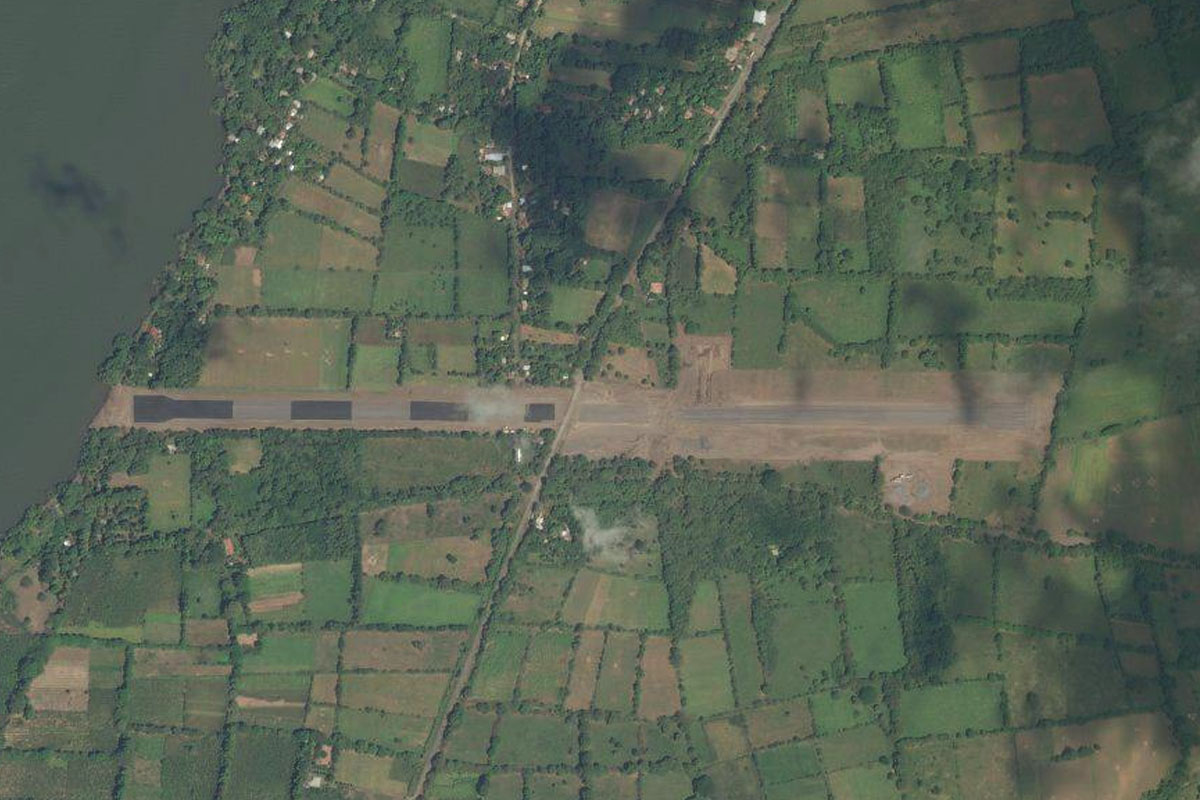
Volcan Concepcion(POI3) to MNLP(MNLP)
Distance: 2.95NM Bearing: 202° 1 minutes
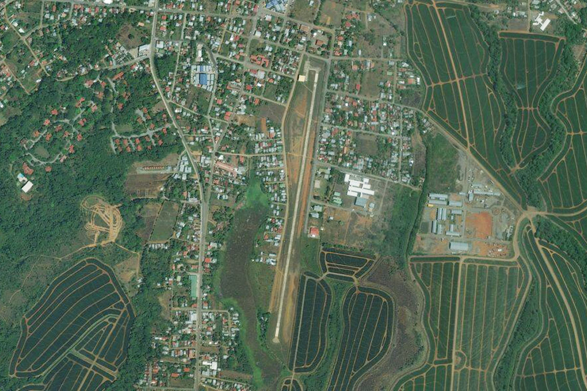
When you reach the coast of the island, head south to Omtempe Airport
Leg 2
Flying from MNLP
Leg Distance: 61.44 Approximate time at 125kts: 29 minutes.
MNLP(MNLP) to Volcan Maderas(POI4)
Distance: 13.42NM Bearing: 108° 6 minutes
After takeoff, head east past the next volcano, Volcan Maderas
Volcan Maderas(POI4) to Solentiname Islands(POI5)
Distance: 31.99NM Bearing: 127° 15 minutes
From Volcan Maderas head southeast along the lake to the low lying Solentiname Islands
Solentiname Islands(POI5) to MNSC(MNSC)
Distance: 16.03NM Bearing: 96° 8 minutes
Head east from the islands to the western shore of the lake and the town of San Carlos. The airfield runs along side the main road through town
Leg 3
Flying from MNSC
Leg Distance: 47.8 Approximate time at 125kts: 23 minutes.
MNSC(MNSC) to Volcan Arenal(POI6)
Distance: 40.48NM Bearing: 177° 19 minutes
Head south from San Carlos and cross into Costa Rica, towards the prominent and active Volcan Arenal
Volcan Arenal(POI6) to MRAN(MRAN)
Distance: 7.32NM Bearing: 90° 4 minutes
East of the volcano, past the town of La Foruna, is El Tanque airport
Leg 4
Flying from MRAN
Leg Distance: 35.18 Approximate time at 125kts: 17 minutes.
MRAN(MRAN) to Rio Penas Blancas(POI7)
Distance: 5.86NM Bearing: 184° 3 minutes
Head south after takeoff until you reach the Río Peñas Blancas, and follow it southwest into the mountains
Rio Penas Blancas(POI7) to Rio Penas Blancas(POI8)
Distance: 9.52NM Bearing: 249° 5 minutes
Follow the river southwest over the mountain range
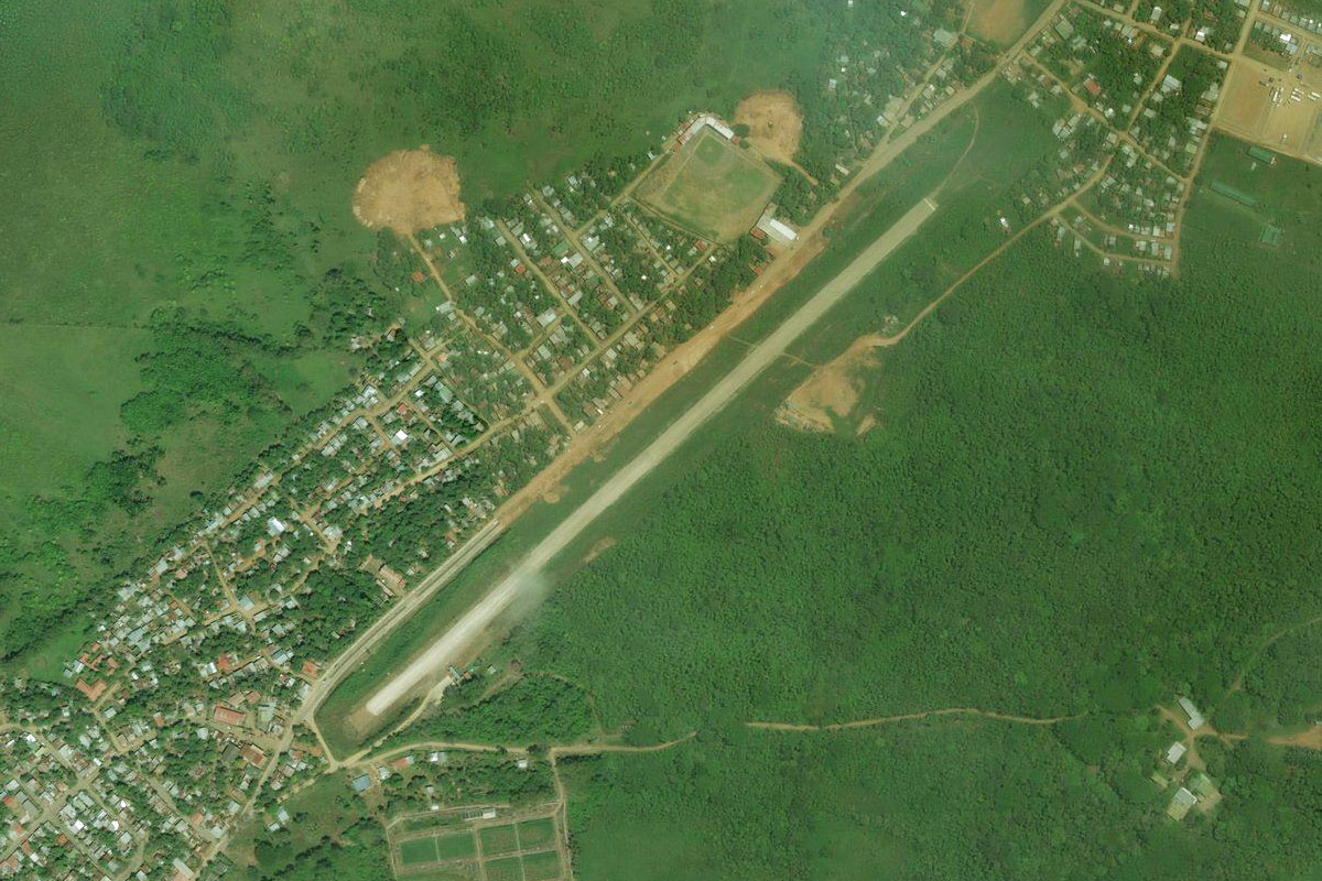
Rio Penas Blancas(POI8) to MRCH(MRCH)
Distance: 19.8NM Bearing: 190° 10 minutes
Once you cross the top of the mountains, turn south and head to the coastal town of Puntarenas. The airport is at the western end of the thin point of land where the town lies
Leg 5
Flying from MRCH
Leg Distance: 39.48 Approximate time at 125kts: 19 minutes.
MRCH(MRCH) to Puerto Caldera(POI9)
Distance: 4.99NM Bearing: 140° 2 minutes
After takeoff, head southeast to the circular bay, then follow the highway inland
Puerto Caldera(POI9) to Orotina(POI10)
Distance: 12.7NM Bearing: 94° 6 minutes
Follow the highway east towards the mountains
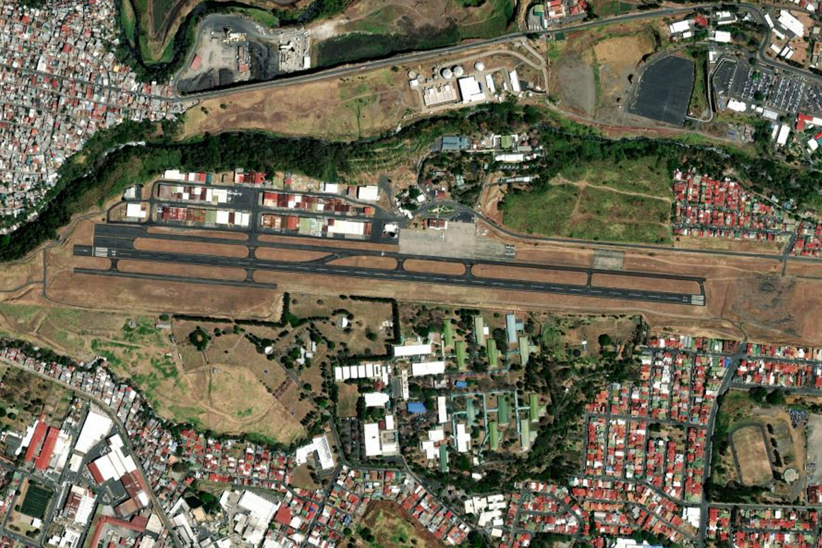
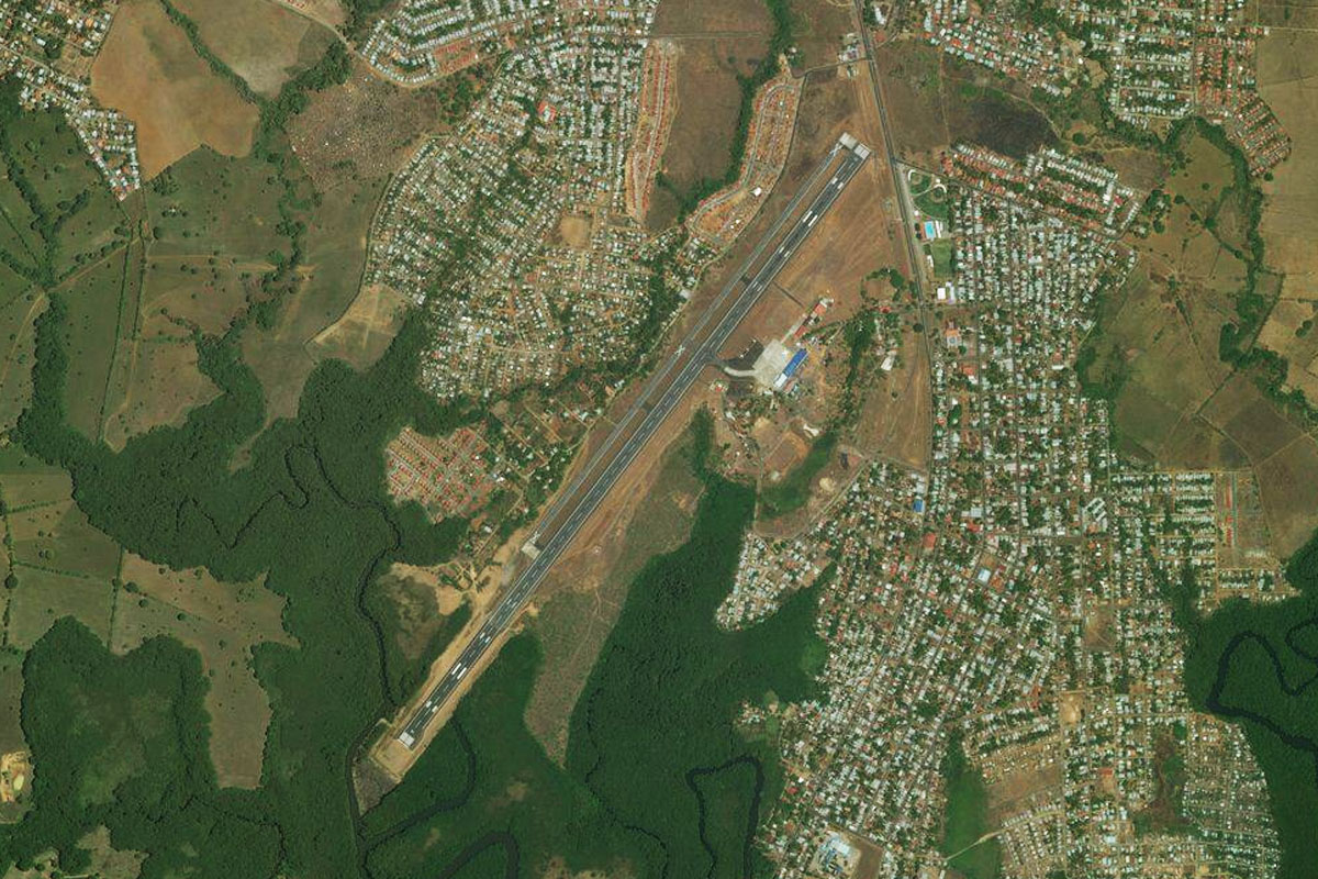
Orotina(POI10) to Guacima(POI11)
Distance: 15.62NM Bearing: 80° 7 minutes
Keep following the highway towards Santamaria Intl Airport in the western outskirts of San Jose
Guacima(POI11) to MRPV(MRPV)
Distance: 6.17NM Bearing: 99° 3 minutes
A couple of miles southeast of the main airport is the smaller Bolaños Airport
Leg 6
Flying from MRPV
Leg Distance: 62.32 Approximate time at 125kts: 30 minutes.
MRPV(MRPV) to Irazu Volcano(POI12)
Distance: 18.55NM Bearing: 96° 9 minutes
Head east after takeoff and climb to the south face of Irazú Volcano
Irazu Volcano(POI12) to Guapiles(POI13)
Distance: 15.93NM Bearing: 7° 8 minutes
Turn north before the next volcano, Turrialba, and fly between the two volcanoes. The land will then dramatically drop away as you head towards the town of Guapiles
Guapiles(POI13) to MRBT(MRBT)
Distance: 27.84NM Bearing: 41° 13 minutes
From Guapiles, head northeast to the coast, and the beautiful Tortuguero National Park. The airfield is next to the beach just north of the town of Tortuguero
Leg 7
Flying from MRBT
Leg Distance: 47.06 Approximate time at 125kts: 23 minutes.
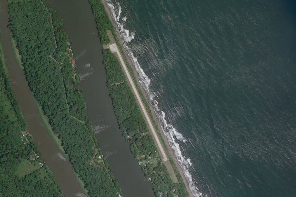
MRBT(MRBT) to Parismina(POI14)
Distance: 19.45NM Bearing: 151° 9 minutes
After takeoff, head southeast along the seemingly endless beach
Parismina(POI14) to Limon(POI15)
Distance: 24.57NM Bearing: 140° 12 minutes
Continue along the coast to the port city of Limon
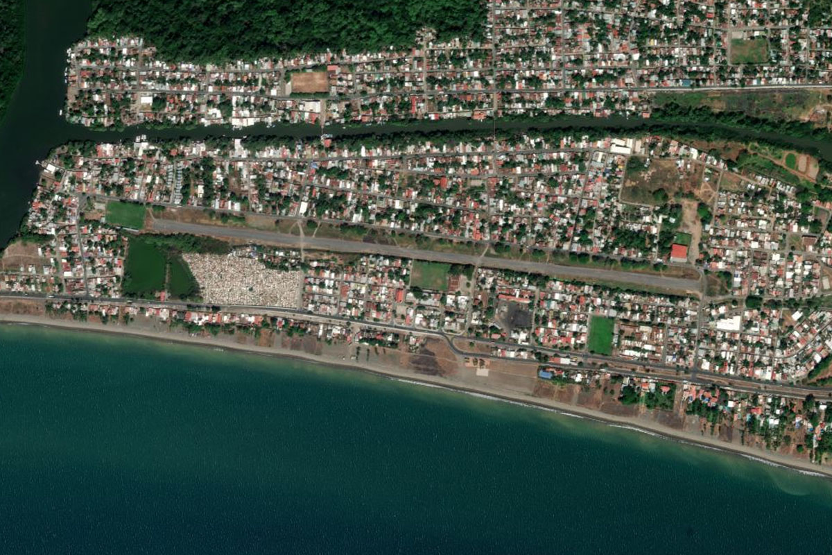
Limon(POI15) to MRLM(MRLM)
Distance: 3.04NM Bearing: 143° 1 minutes
Limon Airport is just south of the town, running alongside the shore
Leg 8
Flying from MRLM
Leg Distance: 32.22 Approximate time at 125kts: 15 minutes.
MRLM(MRLM) to Cahuita(POI16)
Distance: 16.07NM Bearing: 145° 8 minutes
Continue southeast along the coast to the town of Cahuita, which is just before Punta Cahuita, then turn south
Cahuita(POI16) to Rio Sixaola(POI17)
Distance: 12.17NM Bearing: 195° 6 minutes
As you cross the hills you will meet up with the Sixaola River heading south towards the mountains
Rio Sixaola(POI17) to MRAM(MRAM)
Distance: 3.98NM Bearing: 243° 2 minutes
When the river takes a 90 degree turn to the right, head southwest for a few miles to the grass airstrip of Amubri Airport
Leg 9
Flying from MRAM
Leg Distance: 35.55 Approximate time at 125kts: 17 minutes.
MRAM(MRAM) to Rio Coen(POI18)
Distance: 6.01NM Bearing: 272° 3 minutes
After takeoff, head west until you reach the Coen river (should be the second river you meet), then follow it into the mountains
Rio Coen(POI18) to Rio Coen(POI19)
Distance: 5.62NM Bearing: 265° 3 minutes
Continue along the river valley west into the mountains
Rio Coen(POI19) to Rio Coen(POI20)
Distance: 7.21NM Bearing: 226° 3 minutes
Keep climbing with the valley as it curves around to the southwest
Rio Coen(POI20) to Cerro Casma(POI21)
Distance: 5.39NM Bearing: 183° 3 minutes
Cross over the mountain pass at the low point to the south
Cerro Casma(POI21) to Buenos Aires(POI22)
Distance: 10.32NM Bearing: 218° 5 minutes
Turn to the southwest and descend to the town of Buenos Aires
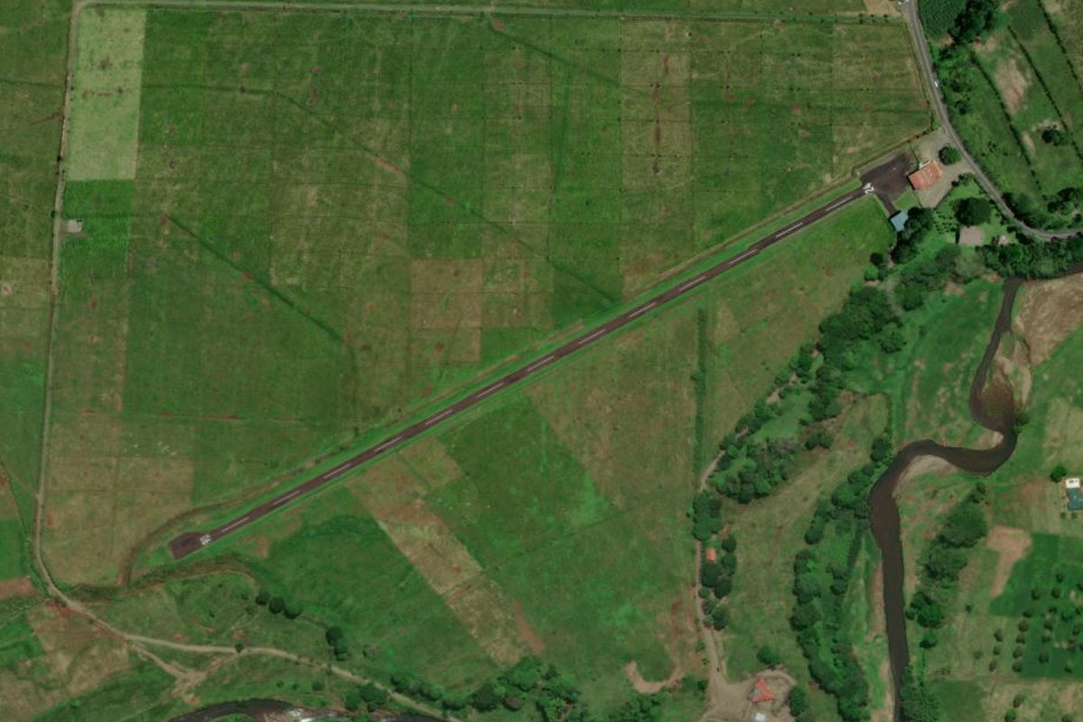
Buenos Aires(POI22) to MRBA(MRBA)
Distance: 1NM Bearing: 197° 0 minutes
The airport is at the southern edge of the town
Leg 10
Flying from MRBA
Leg Distance: 53.94 Approximate time at 125kts: 26 minutes.
MRBA(MRBA) to Humedal Nacional Terraba Sierpe(POI23)
Distance: 21.96NM Bearing: 225° 11 minutes
After takeoff, fly southwest over the mountains and head to the coast, passing over the Térraba Sierpe Wetlands on the way
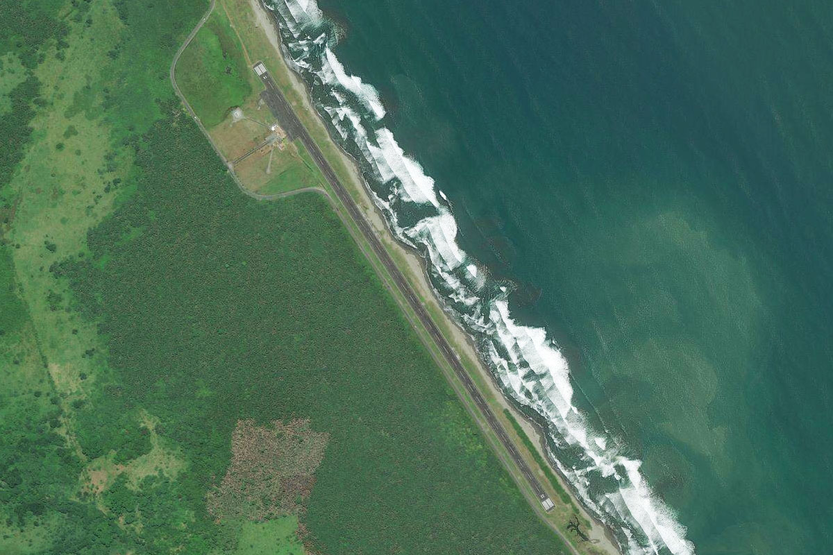
Humedal Nacional Terraba Sierpe(POI23) to Punta Llorona(POI24)
Distance: 20.21NM Bearing: 213° 10 minutes
Follow the coast southwest
Punta Llorona(POI24) to MRSN(MRSN)
Distance: 11.77NM Bearing: 131° 6 minutes
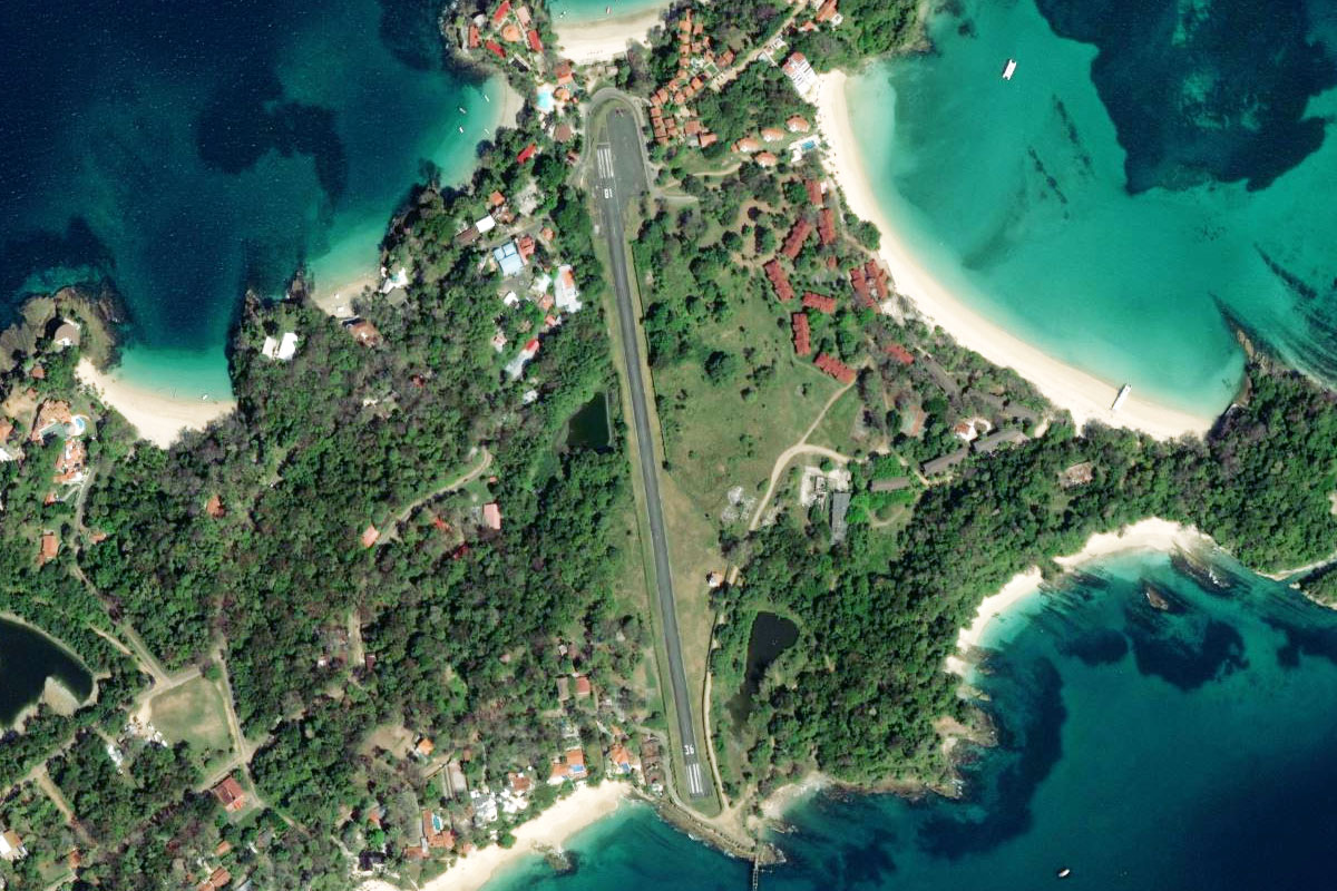
Follow the coast southeast until you come to Sirena Airport, cut into a clearing in the forest

Leg 11
Flying from MRSN
Leg Distance: 29.37 Approximate time at 125kts: 14 minutes.
MRSN(MRSN) to Punta Salsipuedes(POI25)
Distance: 2.68NM Bearing: 152° 1 minutes
After takeoff, continue following the coast southeast
Punta Salsipuedes(POI25) to Laguna Pejeperrito(POI26)
Distance: 7.68NM Bearing: 95° 4 minutes
Stay with the coast as it turns to the east
Laguna Pejeperrito(POI26) to Cabo Matapalo(POI27)
Distance: 9.38NM Bearing: 116° 5 minutes
Continue following the coast southeast to Cape Matapalo
Cabo Matapalo(POI27) to Santa Clara(POI28)
Distance: 8.82NM Bearing: 95° 4 minutes
From Cape Matapalo, head east across the bay to the small town of Santa Clara on the opposite shore
Santa Clara(POI28) to MRPO(MRPO)
Distance: 0.81NM Bearing: 146° 0 minutes
The airfield is just south of the town, running alongside the shore

Leg 12
Flying from MRPO
Leg Distance: 48.24 Approximate time at 125kts: 23 minutes.
MRPO(MRPO) to La Palma(POI29)
Distance: 12.24NM Bearing: 129° 6 minutes
After takeoff, fly southeast along the mountainous coastline, then turn east across the Burica Peninsula
La Palma(POI29) to Puerto Armuelles(POI30)
Distance: 7.6NM Bearing: 73° 4 minutes
Crossing east across the Burica Peninsula, you'll leave Costa Rica and head into Panama
Puerto Armuelles(POI30) to Estero Rico(POI31)
Distance: 10.58NM Bearing: 77° 5 minutes
Follow the coast east
Estero Rico(POI31) to Isla San Pedro(POI32)
Distance: 9.75NM Bearing: 110° 5 minutes
Keep following the coast as it curves slightly to the southeast
Isla San Pedro(POI32) to MPDA(MPDA)
Distance: 8.07NM Bearing: 43° 4 minutes
Once you reach the peninsula of Isla San Pedro, head northeast towards the large town of David, and the airport to its south
Leg 13
Flying from MPDA
Leg Distance: 34.32 Approximate time at 125kts: 16 minutes.
MPDA(MPDA) to Boca Chica(POI33)
Distance: 17.05NM Bearing: 131° 8 minutes
After takeoff, head southeast over the mangrove islands of Bahia de los Muertos
Boca Chica(POI33) to MPSF(MPSF)
Distance: 17.27NM Bearing: 147° 8 minutes
Head southeast across the open water to the Secas Islands archipelago, and the small airstrip on the largest of these islands, Islas Secas

Leg 14
Flying from MPSF
Leg Distance: 30.1 Approximate time at 125kts: 14 minutes.
MPSF(MPSF) to Isla Brincancon(POI34)
Distance: 18.61NM Bearing: 123° 9 minutes
Head southeast to the next group of small islands
Isla Brincancon(POI34) to MPSR(MPSR)
Distance: 11.49NM Bearing: 92° 6 minutes
From the islands, head east for the mainland, and the small airstrip at Pixvae

Leg 15
Flying from MPSR
Leg Distance: 43.21 Approximate time at 125kts: 21 minutes.
MPSR(MPSR) to Rio San Pablo(POI35)
Distance: 21.85NM Bearing: 92° 10 minutes
After takeoff, head east over the mountains to the mouth of the San Pablo River
Rio San Pablo(POI35) to Santiago(POI36)
Distance: 19.27NM Bearing: 47° 9 minutes
Turn northeast and head towards the city of Santiago
Santiago(POI36) to MPSA(MPSA)
Distance: 2.09NM Bearing: 105° 1 minutes
Just east of the city is Santiago Airport
Leg 16
Flying from MPSA
Leg Distance: 52.06 Approximate time at 125kts: 25 minutes.
MPSA(MPSA) to Aguadulce(POI37)
Distance: 26.14NM Bearing: 73° 13 minutes
After takeoff, head east and follow the highway as it travels northeast to the town of Aguadulce
Aguadulce(POI37) to Juan Hombron(POI38)
Distance: 17.67NM Bearing: 83° 8 minutes
From Aguadulce, head east along the coast
Juan Hombron(POI38) to MPSM(MPSM)
Distance: 8.25NM Bearing: 62° 4 minutes
Follow the coast northeast past the resort area of Playa Blanca to the airport, whose runway crosses over the main highway

Leg 17
Flying from MPSM
Leg Distance: 49.61 Approximate time at 125kts: 24 minutes.
MPSM(MPSM) to Punta Chame(POI39)
Distance: 30.34NM Bearing: 62° 15 minutes
Follow the coast northeast to the tip of Puntas Chame
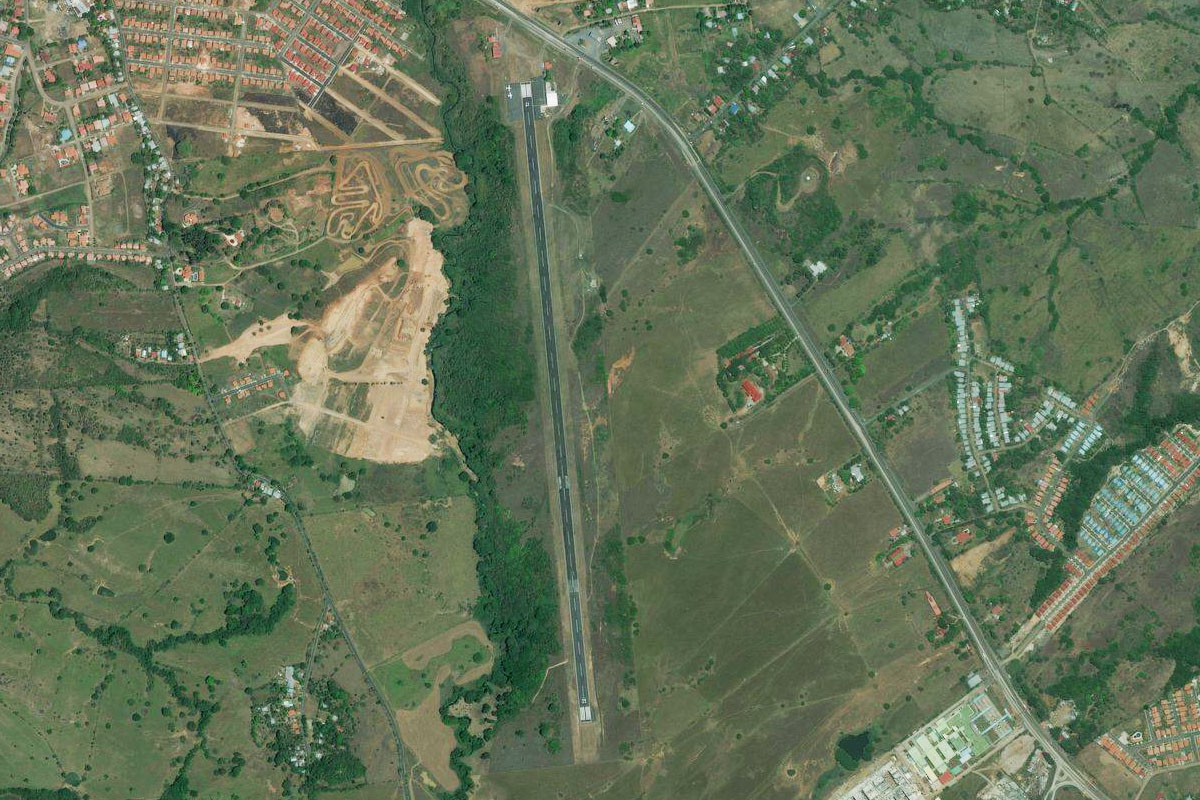
Punta Chame(POI39) to Taboga(POI40)
Distance: 11.58NM Bearing: 49° 6 minutes
Continue northeast to the island of Taboga
Taboga(POI40) to MPPA(MPPA)
Distance: 7.69NM Bearing: 350° 4 minutes
From Taboga, head north to Pacifica International Airport, which is a former military base a couple of miles west of the canal entrance

Leg 18
Flying from MPPA
Leg Distance: 39.26 Approximate time at 125kts: 19 minutes.
MPPA(MPPA) to Panama Canal(POI41)
Distance: 4.47NM Bearing: 11° 2 minutes
After takeoff, head north to the Panama Canal, one of the world's most important shipping routes
Panama Canal(POI41) to Gamboa(POI42)
Distance: 9.45NM Bearing: 325° 5 minutes
Follow the canal northwest
Gamboa(POI42) to Lago Gatun(POI43)
Distance: 6.46NM Bearing: 281° 3 minutes
Follow the canal west to Gatun Lake, once the largest man-made lake in the world
Lago Gatun(POI43) to Gatun(POI44)
Distance: 10.94NM Bearing: 326° 5 minutes
Cross the lake northwest to meet the northern section of the canal at Gatún
Gatun(POI44) to Puente Atlantico(POI45)
Distance: 4.52NM Bearing: 5° 2 minutes
Head north along the canal and over the Atlantic Bridge, which was completed in 2019
Puente Atlantico(POI45) to MPEJ(MPEJ)
Distance: 3.42NM Bearing: 70° 2 minutes
Head east over the port city of Colón to the International Airport

Leg 19
Flying from MPEJ
Leg Distance: 44.47 Approximate time at 125kts: 21 minutes.
MPEJ(MPEJ) to Panama-Colon Expressway(POI46)
Distance: 10.68NM Bearing: 125° 5 minutes
After takeoff, head southeast and follow the Panama-Colon Expressway
Panama-Colon Expressway(POI46) to Panama(POI47)
Distance: 16.66NM Bearing: 149° 8 minutes
Keep following the expressway to the outskirts of Panama, then turn south
Panama(POI47) to Ancon Hill(POI48)
Distance: 5.48NM Bearing: 188° 3 minutes
Head south past the city center to the small hill at its southwest, Ancón Hill
Ancon Hill(POI48) to Panama(POI49)
Distance: 6.4NM Bearing: 68° 3 minutes
Head northeast along the city shoreline
Panama(POI49) to MPTO(MPTO)
Distance: 5.25NM Bearing: 56° 3 minutes
Keep heading northeast to Tocumen Intl, on the city's eastern outskirts

Leg 20
Flying from MPTO
Leg Distance: 36.76 Approximate time at 125kts: 18 minutes.
MPTO(MPTO) to Chepillo Island(POI50)
Distance: 16.56NM Bearing: 119° 8 minutes
After takeoff, head east to the small island a few miles offshore, Chepillo
Chepillo Island(POI50) to MPRA(MPRA)
Distance: 20.2NM Bearing: 170° 10 minutes
Head south to the next group of islands. The airport is on one of the northernmost islands, Contadora Island
Leg 21
Flying from MPRA
Leg Distance: 26.21 Approximate time at 125kts: 13 minutes.
MPRA(MPRA) to Isla del Rey(POI51)
Distance: 12.24NM Bearing: 169° 6 minutes
Head south to the largest island in the group, Isla del Rey
Isla del Rey(POI51) to Isla del Rey(POI52)
Distance: 8.39NM Bearing: 183° 4 minutes
Fly south along the western edge of the island
Isla del Rey(POI52) to MP26(MP26)
Distance: 5.58NM Bearing: 144° 3 minutes
Punta Coco airport is at the southern tip of the island

Leg 22
Flying from MP26
Leg Distance: 37.92 Approximate time at 125kts: 18 minutes.
MP26(MP26) to Galera Island(POI53)
Distance: 7.85NM Bearing: 108° 4 minutes
After takeoff, head east to the nearby small island of Galera
Galera Island(POI53) to Punta Patino(POI54)
Distance: 28NM Bearing: 92° 13 minutes
Head east to the mainland at Punta Patiño
Punta Patino(POI54) to MPMF(MPMF)
Distance: 2.07NM Bearing: 55° 1 minutes
The airstrip runs alongside the shore of the bay

Leg 23
Flying from MPMF
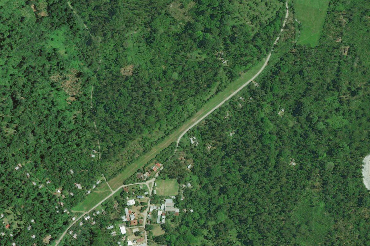
Leg Distance: 36.34 Approximate time at 125kts: 17 minutes.
MPMF(MPMF) to Rio Balsas(POI55)
Distance: 14.75NM Bearing: 93° 7 minutes
After takeoff, head east over the mountains to the Balsas River
Rio Balsas(POI55) to Rio Balsas(POI56)
Distance: 18.55NM Bearing: 131° 9 minutes
Take the left fork of the river and follow it southeast
Rio Balsas(POI56) to MPPI(MPPI)
Distance: 3.04NM Bearing: 78° 1 minutes
The small town of El Real and its airfield is a couple of miles east of where the river turns north

Leg 24
Flying from MPPI
Leg Distance: 40.39 Approximate time at 125kts: 19 minutes.
MPPI(MPPI) to Darien(POI57)
Distance: 30.14NM Bearing: 92° 14 minutes
After takeoff, head east over the mountains of the impenetrable Darién Gap, the site of the only break in the Pan-American Highway of North and South America
Darien(POI57) to SKUQ(SKUQ)
Distance: 10.25NM Bearing: 139° 5 minutes
After crossing the mountains, turn southeast to the small town of Unguia in Colombia, the final destination of this stage, and the first North American section of the world tour
