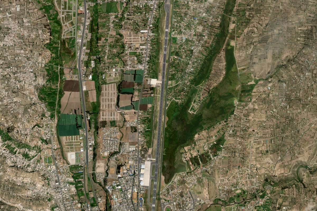
Stage 21 of the tour marks the first part of the journey south along the magnificent Andes Mountains. Starting in Medellin and heading east to Colombia’s capital city, Bogotá, you’ll then head south across the Equator to the second highest capital city in the world, Quito in Ecuador. Journeying further south through volcano territory, you’ll then hit the highest altitude of the trip so far, 13000ft, as you head west out of the mountains to the port city of Guyaquil, Ecuador’s largest city.
Total Legs: 17 Total Distance: 962 Total Time(125kts): 7 hours 41 minutes
Leg 1
Flying from SKMD
Leg Distance: 74.49 Approximate time at 125kts: 36 minutes.
SKMD(SKMD) to La Estrella(POI1)
Distance: 4.84NM Bearing: 217° 2 minutes
After takeoff, follow the valley southwest
La Estrella(POI1) to Caldas(POI2)
Distance: 9.97NM Bearing: 194° 5 minutes
Follow the valley and main road south. At the end of the valley, pass to the right of the taller hills as you continue south over the large valley
Caldas(POI2) to La Pintada(POI3)
Distance: 14.48NM Bearing: 180° 7 minutes
Head south while descending over the lower terrain, follow the Poblanca River south to its junction with the larger Cuaca River
La Pintada(POI3) to Rio Cauca(POI4)
Distance: 22.14NM Bearing: 186° 11 minutes
Follow the Rio Cauca and the highway south through the small canyon and beyond, as the river gradually curves to the right around the mountain
Rio Cauca(POI4) to Manizales(POI5)
Distance: 19.56NM Bearing: 170° 9 minutes
Where the river meets a 4-way junction, turn slightly to the east and climb to the city of Manizales which lies near the base of the 17000ft Nevado del Ruiz volcano
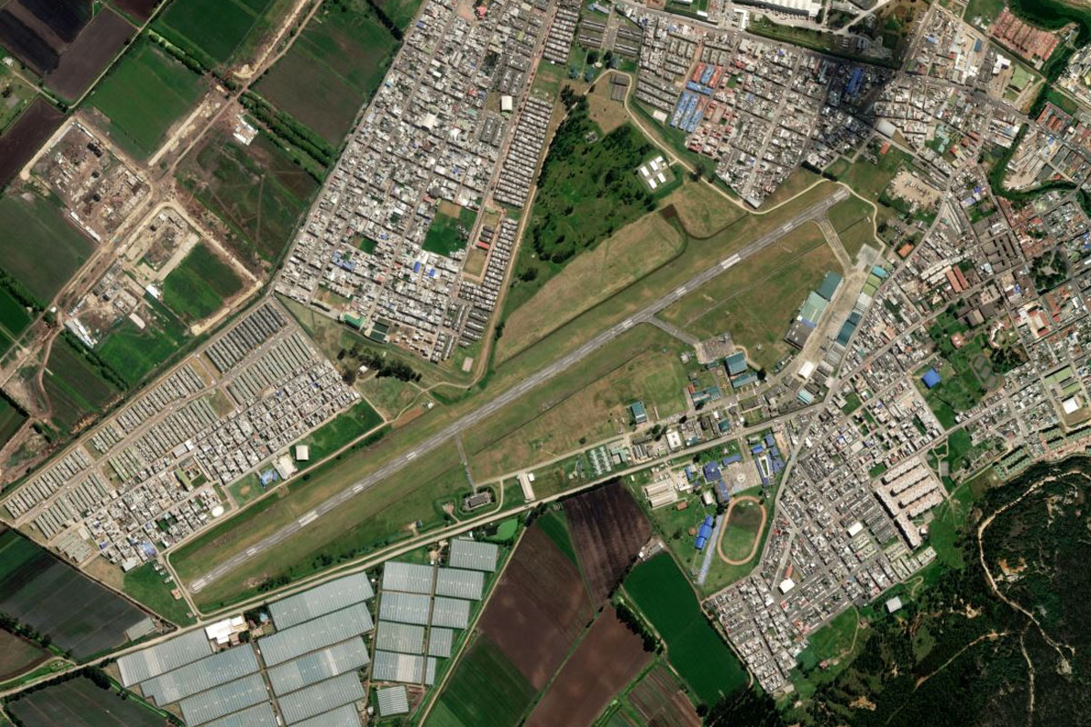
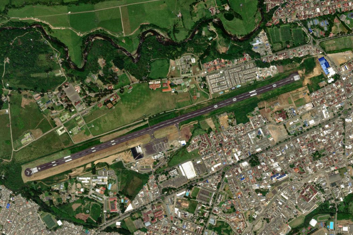
Manizales(POI5) to SKMZ(SKMZ)
Distance: 3.5NM Bearing: 135° 2 minutes
La Nubia airport sits next to the river a couple of miles southeast of the city
Leg 2
Flying from SKMZ
Leg Distance: 61.88 Approximate time at 125kts: 30 minutes.
SKMZ(SKMZ) to Manizales(POI6)
Distance: 3.43NM Bearing: 330° 2 minutes
The next stop at the town of Mariquita is east of here over the mountains, but you'll need to do some climbing first. After takeoff, head back to the northern end of the city
Manizales(POI6) to Salamina(POI7)
Distance: 16.11NM Bearing: 7° 8 minutes
Heading north from the city, gain enough height so you can turn east over the mountains
Salamina(POI7) to Samana(POI8)
Distance: 29.33NM Bearing: 93° 14 minutes
After heading east over the mountains, start descending and look for the large town of Mariquita which sits right at the foothills
Samana(POI8) to SKQU(SKQU)
Distance: 13.01NM Bearing: 151° 6 minutes
Mariquita Airport is at the northeastern edge of the town
Leg 3
Flying from SKQU
Leg Distance: 34.18 Approximate time at 125kts: 16 minutes.
SKQU(SKQU) to Rio Magdalena(POI9)
Distance: 12.2NM Bearing: 137° 6 minutes
After takeoff, head southeast over the hills to the Magdalena River on the eastern side of the valley
Rio Magdalena(POI9) to Ambalema(POI10)
Distance: 18.4NM Bearing: 195° 9 minutes
Follow the river south to the town of Ambalema
Ambalema(POI10) to SKBM(SKBM)
Distance: 3.58NM Bearing: 232° 2 minutes
The small airstrip is on the south bank of the river, a few miles after the town
Leg 4
Flying from SKBM
Leg Distance: 46.45 Approximate time at 125kts: 22 minutes.
SKBM(SKBM) to Guataqui(POI11)
Distance: 12.74NM Bearing: 187° 6 minutes
After takeoff, continue south along the Magdalena River to where it meets the smaller Seco River at the town of Guataqui
Guataqui(POI11) to La Mesa(POI12)
Distance: 21.07NM Bearing: 80° 10 minutes
Follow the Seco River northeast through the small valley and climb over the hills beyond to the town of La Mesa, named for the Mesa like hill that it sits on
La Mesa(POI12) to SKMA(SKMA)
Distance: 12.64NM Bearing: 71° 6 minutes
Continue climbing northeast to the high plateau (named Bogotá savanna) that houses the capital city of Bogotá. Madrid air base is just a few miles from the edge of the plateau
Leg 5
Flying from SKMA
Leg Distance: 72.39 Approximate time at 125kts: 35 minutes.
SKMA(SKMA) to Tabio(POI13)
Distance: 15.34NM Bearing: 53° 7 minutes
After takeoff, head northeast between the two ridges
Tabio(POI13) to Troncal Central(POI14)
Distance: 5.31NM Bearing: 78° 3 minutes
Fly over the eastern ridge to meet the road heading north
Troncal Central(POI14) to Zipaquira(POI15)
Distance: 4.98NM Bearing: 16° 2 minutes
Follow the highway north to the large town of Zipaquirá, famous for its salt cathedral which sits underground in the salt mine
Zipaquira(POI15) to Embalse de Tomine(POI16)
Distance: 11.07NM Bearing: 97° 5 minutes
Head east to the northern end of Tominé Reservoir
Embalse de Tomine(POI16) to Embalse de Tomine(POI17)
Distance: 7.31NM Bearing: 216° 4 minutes
Fly southwest along the reservoir
Embalse de Tomine(POI17) to Avenida Carrera(POI18)
Distance: 16.28NM Bearing: 230° 8 minutes
Continue southwest over the hills towards Colombia's capital city of Bogotá
Avenida Carrera(POI18) to Bogota(POI19)
Distance: 5.54NM Bearing: 199° 3 minutes
Follow the straight line of Avenida Carrera south to the main center of Bogotá
Bogota(POI19) to SKBO(SKBO)
Distance: 6.56NM Bearing: 323° 3 minutes
Turn northwest and head for Eldorado Intl Airport

Leg 6
Flying from SKBO
Leg Distance: 43.13 Approximate time at 125kts: 21 minutes.
SKBO(SKBO) to Embalse del Muna(POI20)
Distance: 12.71NM Bearing: 219° 6 minutes
Head southwest to the Muña Reservoir on the city's outskirts
Embalse del Muna(POI20) to Fusagasuga(POI21)
Distance: 12.93NM Bearing: 220° 6 minutes
Continue southwest off the plateau to the town of Fusagasugá
Fusagasuga(POI21) to SKME(SKME)
Distance: 17.49NM Bearing: 254° 8 minutes
Follow the highway and the Sumapaz River southwest out of the mountains to Melgar Air Base, which sits alongside the river
Leg 7
Flying from SKME
Leg Distance: 67.24 Approximate time at 125kts: 32 minutes.
SKME(SKME) to Rio Cunday(POI22)
Distance: 7.08NM Bearing: 182° 3 minutes
After takeoff, fly south over the ridge to the small Cunday River, then follow the ridge southwest
Rio Cunday(POI22) to Embalse del Rio Prado(POI23)
Distance: 28.44NM Bearing: 223° 14 minutes
Follow the ridge as it curves to the south leading to the Prado Reservoir. Fly along the length of the reservoir to its southern end
Embalse del Rio Prado(POI23) to Rio Magdalena(POI24)
Distance: 12.92NM Bearing: 247° 6 minutes
Turn southwest and head to the Magdalena River
Rio Magdalena(POI24) to Rio Magdalena(POI25)
Distance: 17.27NM Bearing: 213° 8 minutes
Follow the river southwest until you reach the tight U-turn
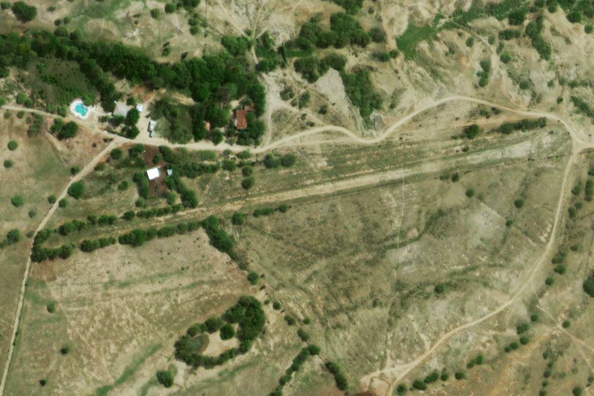
Rio Magdalena(POI25) to SKVT(SKVT)
Distance: 1.53NM Bearing: 141° 1 minutes
Head southeast to the small grass airstrip just a mile east of the river
Leg 8
Flying from SKVT
Leg Distance: 44.18 Approximate time at 125kts: 21 minutes.
SKVT(SKVT) to Tatacoa Desert(POI26)
Distance: 5.89NM Bearing: 178° 3 minutes
After takeoff, head south to the arid Tatacoa Desert, famous for its eroded landscape
Tatacoa Desert(POI26) to Neiva(POI27)
Distance: 18.53NM Bearing: 207° 9 minutes
After passing the desert, head southwest to the large town of Neiva
Neiva(POI27) to Campoalegre(POI28)
Distance: 15.52NM Bearing: 200° 7 minutes
Follow the main road south from Neiva to the smaller town of Campoalegre
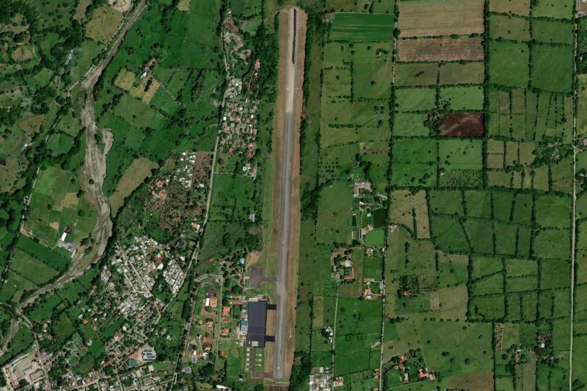
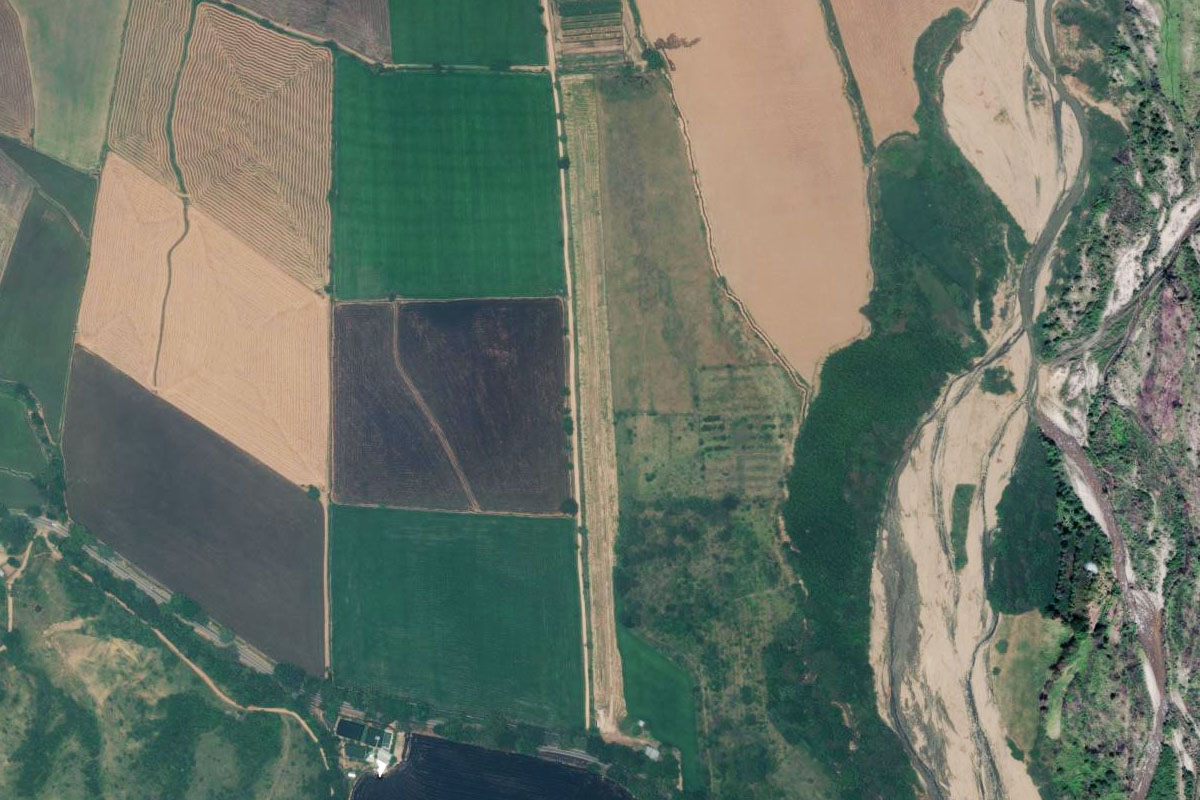
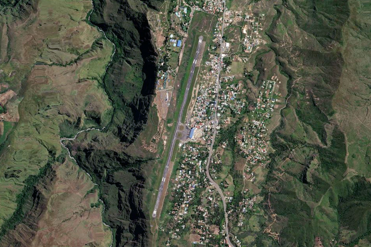
Campoalegre(POI28) to SKDG(SKDG)
Distance: 4.24NM Bearing: 218° 2 minutes
The highway will continue southwest towards the hills. Just before it reaches the hills it will turn west and cross a small river. The grass airstrip is just on the western side of the river
Leg 9
Flying from SKDG
Leg Distance: 36.81 Approximate time at 125kts: 18 minutes.
SKDG(SKDG) to Rio Magdalena(POI29)
Distance: 11.9NM Bearing: 248° 6 minutes
After takeoff, follow the road southwest back to the Magdalena River
Rio Magdalena(POI29) to Embalse el Quimbo(POI30)
Distance: 16.08NM Bearing: 210° 8 minutes
The river will lead south to another reservoir, fly along its length to the southern end
Embalse el Quimbo(POI30) to Rio Magdalena(POI31)
Distance: 6.02NM Bearing: 201° 3 minutes
The south end of the reservoir will once again become the Magdalena River. Continue following it south past the large town of Garzón
Rio Magdalena(POI31) to SKGZ(SKGZ)
Distance: 2.81NM Bearing: 226° 1 minutes
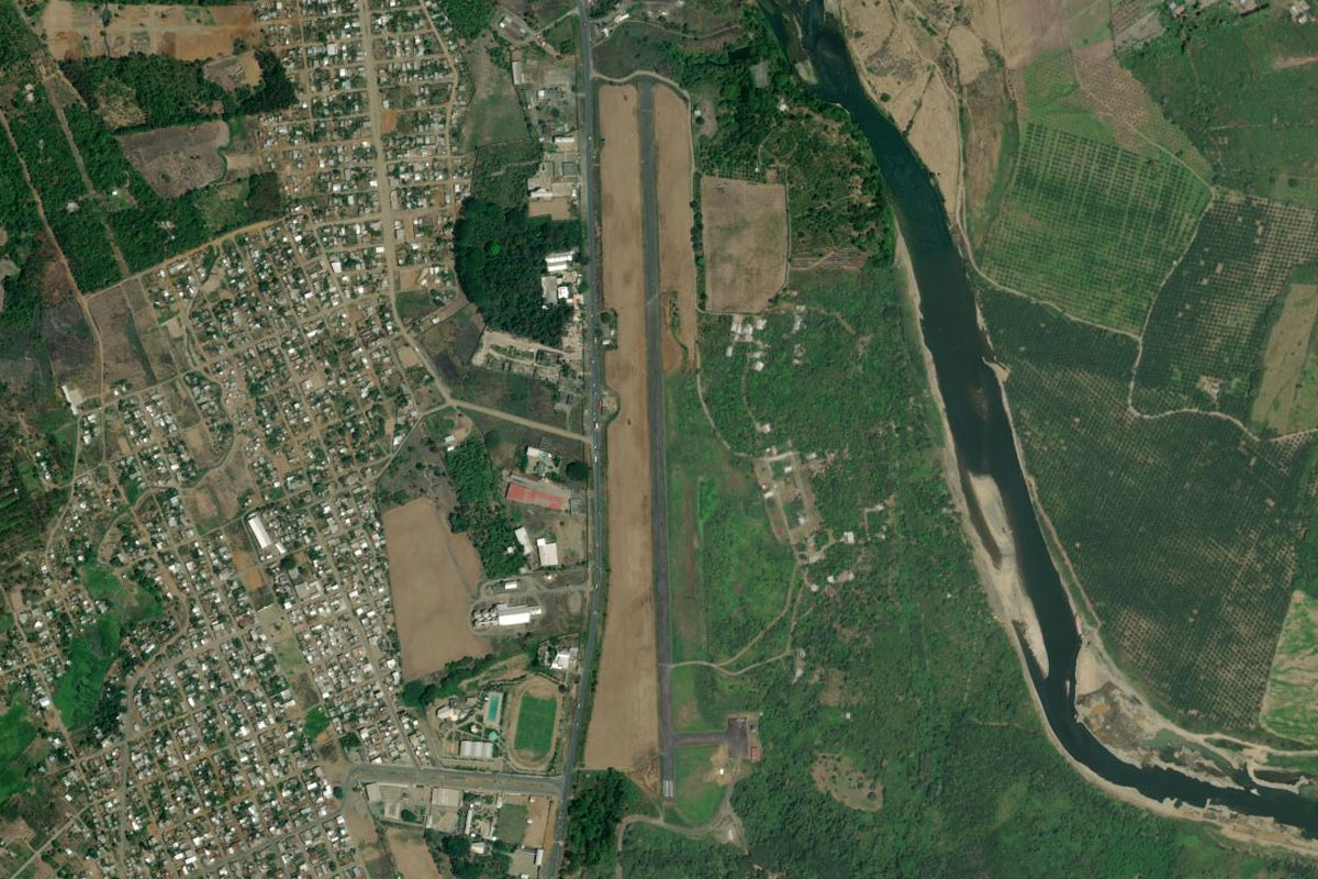
The grass airstrip at La Jagua sits next to the main road heading southwest from Garzón, on the south side of the river

Leg 10
Flying from SKGZ
Leg Distance: 58.53 Approximate time at 125kts: 28 minutes.
SKGZ(SKGZ) to Moscopan(POI32)
Distance: 28.89NM Bearing: 289° 14 minutes
After takeoff, head west and start gaining altitude to cross the mountains, then head towards the tall peak in the distance, Pan de Azúcar
Moscopan(POI32) to Pilimbala(POI33)
Distance: 14.53NM Bearing: 307° 7 minutes
Before reaching the peak, follow the highway next to the river valley, which runs along the northern side of the volcano
Pilimbala(POI33) to SKPP(SKPP)
Distance: 15.11NM Bearing: 297° 7 minutes
Once you are over the mountain pass, head northwest to the city of Popayán, and the airport on its northern edge
Leg 11
Flying from SKPP
Leg Distance: 81.54 Approximate time at 125kts: 39 minutes.
SKPP(SKPP) to Rio Patia(POI34)
Distance: 41.98NM Bearing: 238° 20 minutes
After takeoff, head southwest along the western side of the large valley, where you will meet the Patia River
Rio Patia(POI34) to El Rosario(POI35)
Distance: 19.22NM Bearing: 214° 9 minutes
Follow the river southwest into the narrowing valley, then when it meets the highway turn south
El Rosario(POI35) to SKPS(SKPS)
Distance: 20.34NM Bearing: 183° 10 minutes
Fly south over a hilly area then a large valley, before reaching Antonio Narino Airport sitting on the edge of a plateau
Leg 12
Flying from SKPS
Leg Distance: 48.14 Approximate time at 125kts: 23 minutes.
SKPS(SKPS) to Genoy(POI36)
Distance: 7.16NM Bearing: 198° 3 minutes
Fly south (runway heading) along the valley towards the mountain ahead (Galeras)
Genoy(POI36) to Embalse de Rio Bobo(POI37)
Distance: 10.94NM Bearing: 182° 5 minutes
Turn left to go south around the mountain and pass the city of Pasto to your left. When you reach the small reservoir, turn southwest
Embalse de Rio Bobo(POI37) to Funes(POI38)
Distance: 12.24NM Bearing: 235° 6 minutes
Head southwest over the mountain terrain where you will reach a river valley also heading southwest
Funes(POI38) to Ipiales(POI39)
Distance: 13.59NM Bearing: 238° 7 minutes
Keep heading southwest with the valley as it shallows, then continue southwest to the large town of Ipiales
Ipiales(POI39) to SETU(SETU)
Distance: 4.21NM Bearing: 260° 2 minutes
A few miles west of Ipiales is the border with Ecuador, and the airport serving the town of Tulcán
Leg 13
Flying from SETU
Leg Distance: 74.12 Approximate time at 125kts: 36 minutes.
SETU(SETU) to Julio Andrade(POI40)
Distance: 9.15NM Bearing: 187° 4 minutes
After takeoff, head south into the next valley
Julio Andrade(POI40) to Ibarra(POI41)
Distance: 30.16NM Bearing: 240° 14 minutes
Fly southwest to the city of Ibarra, crossing over the Chota River valley along the way
Ibarra(POI41) to Otavalo(POI42)
Distance: 11.01NM Bearing: 233° 5 minutes
Continue southwest past the Imbabura Volcano
Otavalo(POI42) to Quito(POI43)
Distance: 10.79NM Bearing: 220° 5 minutes
As the highway turns away to the east, continue southwest between the peaks. A soon as you clear the peak to your left, turn south
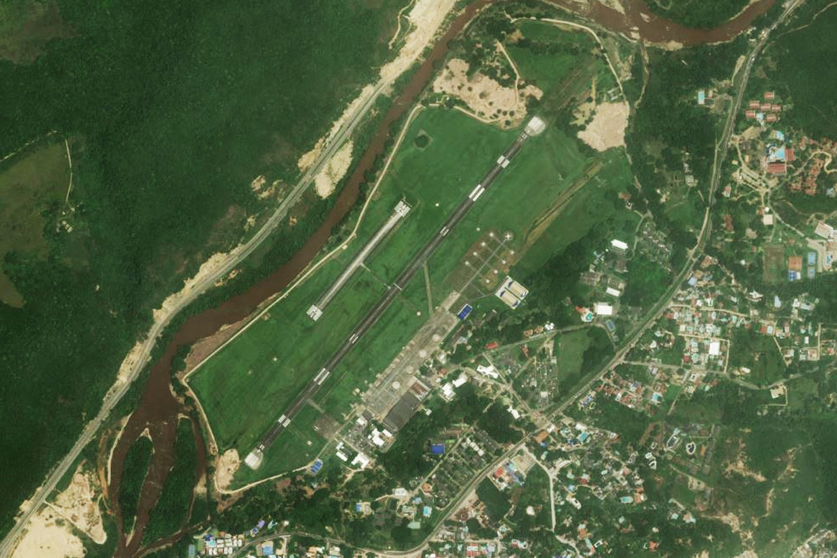
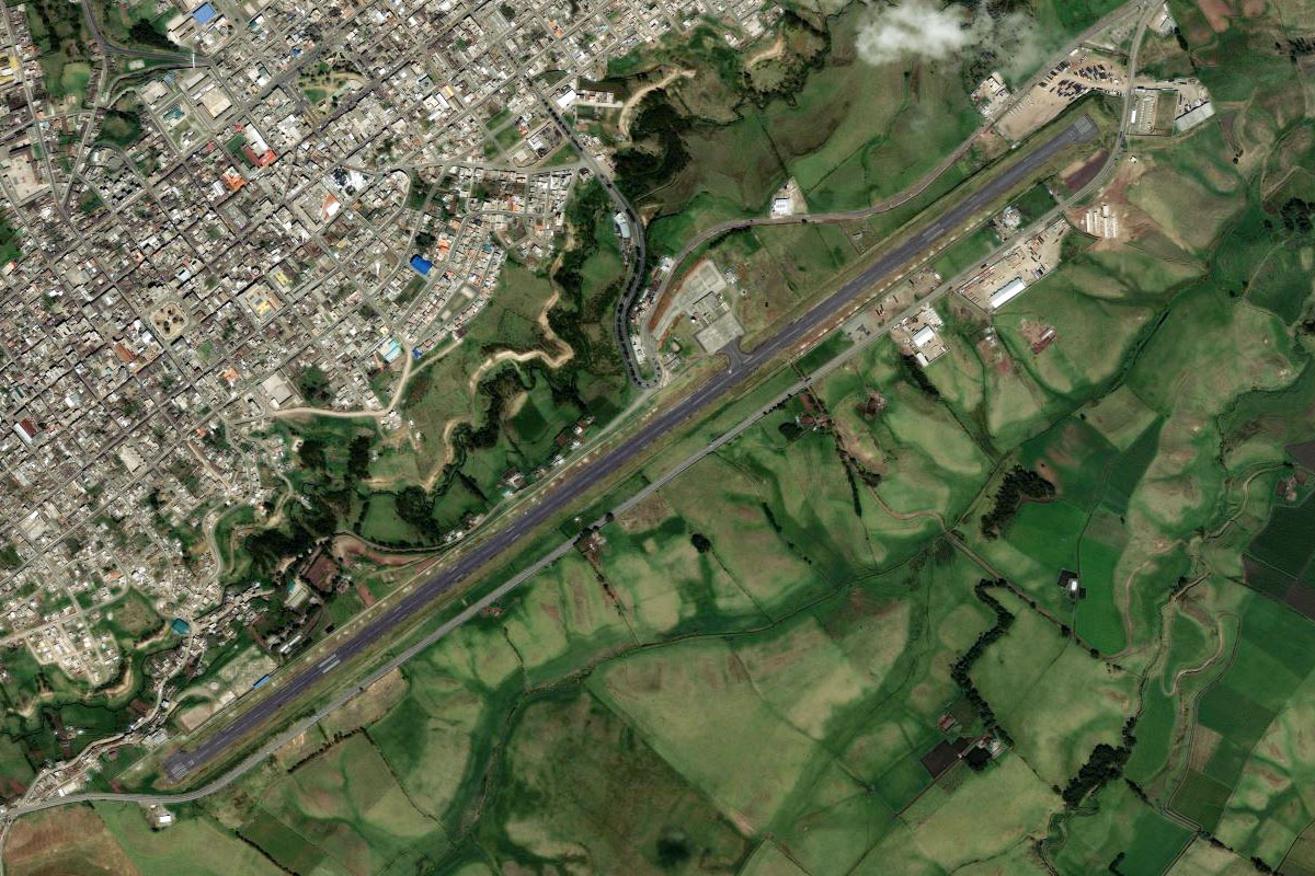
Quito(POI43) to SEQM(SEQM)
Distance: 13.01NM Bearing: 184° 6 minutes
Head south to Mariscal Sucre International Airport, which replaced the original airport of the same name in 2013
Leg 14
Flying from SEQM
Leg Distance: 55.05 Approximate time at 125kts: 26 minutes.
SEQM(SEQM) to Quito(POI44)
Distance: 7.6NM Bearing: 273° 4 minutes
After takeoff, head west towards the old airport
Quito(POI44) to Quito(POI45)
Distance: 5.96NM Bearing: 203° 3 minutes
Head south along the valley past the city of Quito, the capital of Ecuador and the second highest capital city in the world
Quito(POI45) to Cotopaxi(POI46)
Distance: 28.26NM Bearing: 194° 14 minutes
Continue south along the valley, passing between the Cotopaxi Volcano on your left, and the twin volcanic mountains of Illiniza to your right
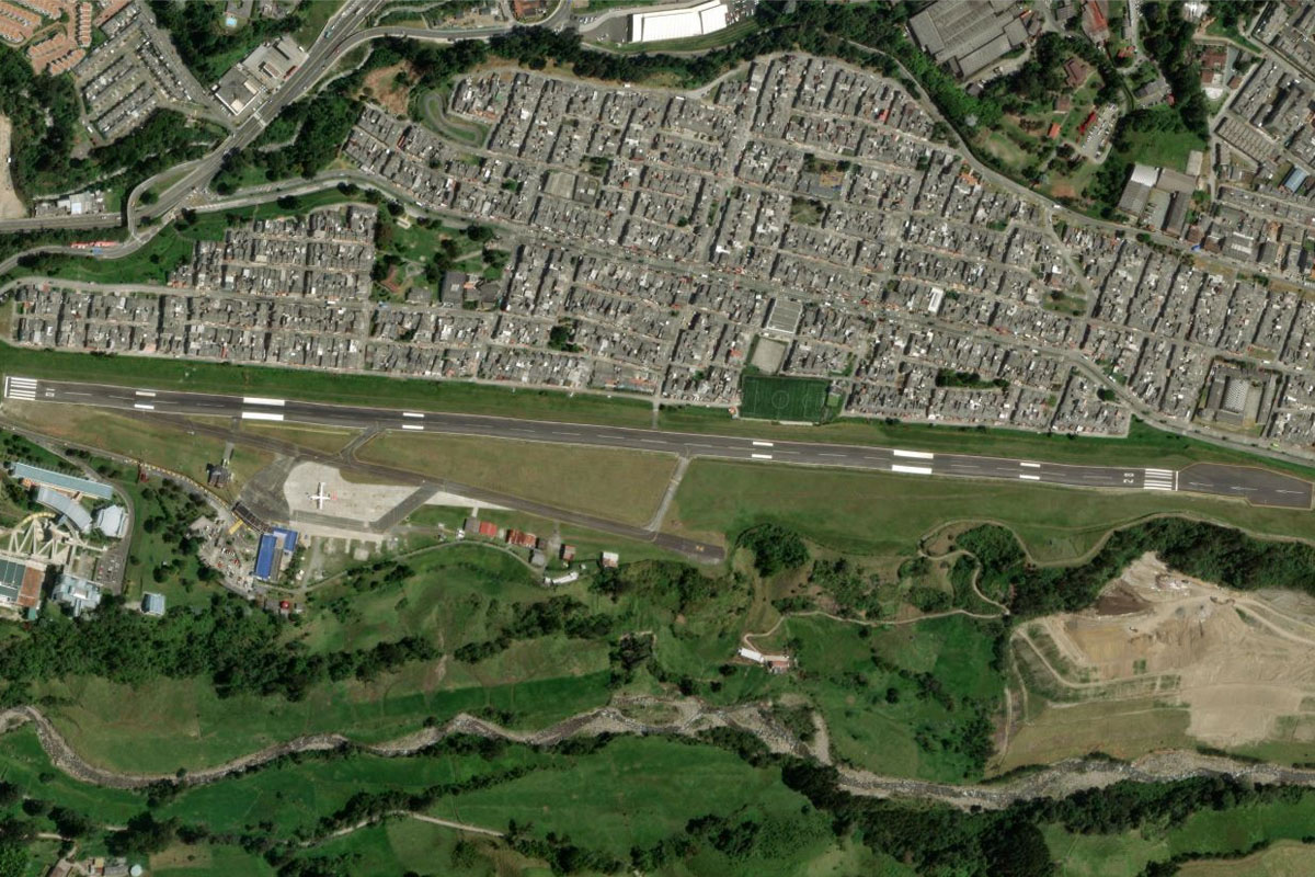
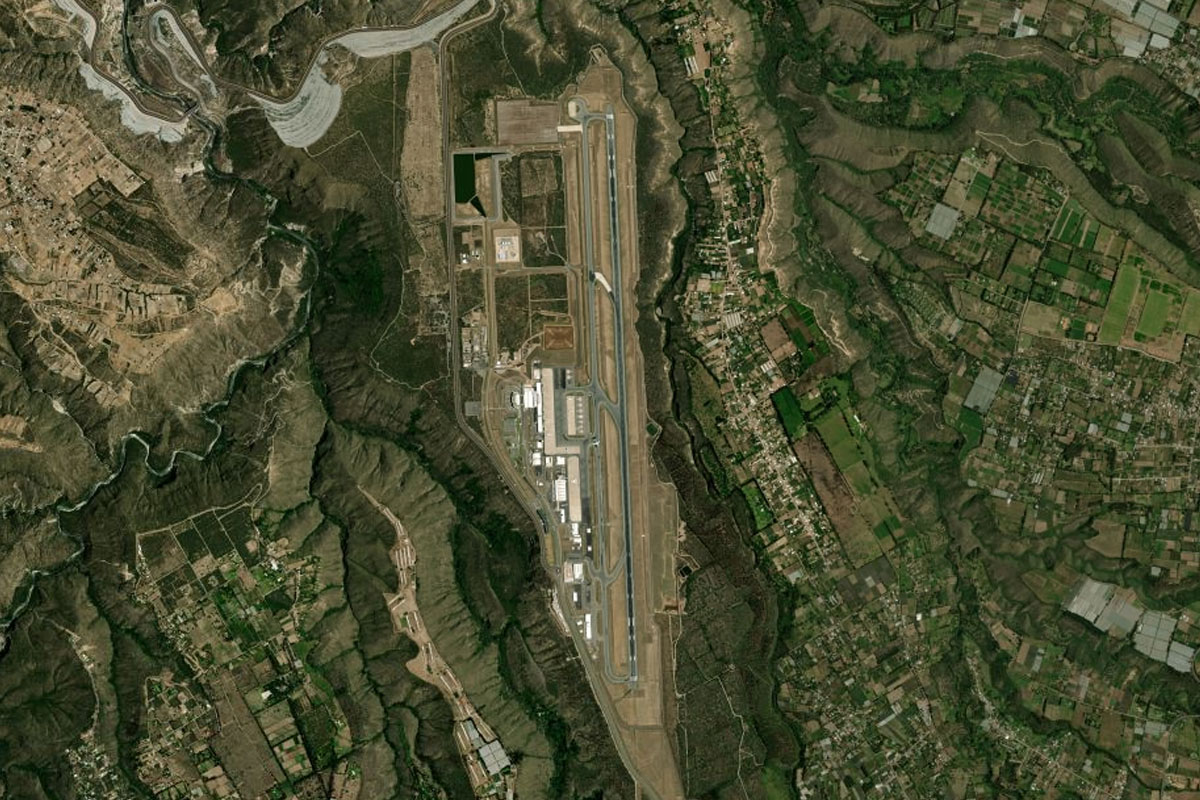
Cotopaxi(POI46) to SELT(SELT)
Distance: 13.23NM Bearing: 192° 6 minutes
Continue south to Cotopaxi Intl Airport, at the northern end of the town of Latacunga
Leg 15
Flying from SELT
Leg Distance: 83.1 Approximate time at 125kts: 40 minutes.
SELT(SELT) to Ambato(POI47)
Distance: 18.78NM Bearing: 180° 9 minutes
Continue south along the valley to the city of Ambato
Ambato(POI47) to Rio Ambato(POI48)
Distance: 4.58NM Bearing: 237° 2 minutes
Head to the Ambato River canyon on the west side of the city
Rio Ambato(POI48) to Rio Ambato(POI49)
Distance: 3.42NM Bearing: 252° 2 minutes
Follow the river as it climbs southwest. Lower performance aircraft would need to use the canyon to climb to the 13000ft needed to exit the mountains to the west
Rio Ambato(POI49) to Rio Ambato(POI50)
Distance: 6.9NM Bearing: 277° 3 minutes
Continue west along the river canyon
Rio Ambato(POI50) to Rio Calamanca(POI51)
Distance: 1.9NM Bearing: 349° 1 minutes
At the river junction, follow the Calamanca River north
Rio Calamanca(POI51) to Quebrada Mulacorral(POI52)
Distance: 2.23NM Bearing: 357° 1 minutes
Almost immediately, at the next fork, take the valley to the left and continue climbing. You should see a road running along the left side of the valley
Quebrada Mulacorral(POI52) to Mountain Pass(POI53)
Distance: 3.55NM Bearing: 24° 2 minutes
After passing a small lake you will see a small mountain pass ahead. Take this pass and make a U-turn west into the next valley
Mountain Pass(POI53) to El Corazon(POI54)
Distance: 16.72NM Bearing: 280° 8 minutes
Descend as you head west along the valley out of the mountains
El Corazon(POI54) to Quevedo(POI55)
Distance: 22.7NM Bearing: 290° 11 minutes
Once you near flat land, head northwest to the city of Quevedo
Quevedo(POI55) to SEQE(SEQE)
Distance: 2.32NM Bearing: 350° 1 minutes
Quevedo airport is just north of the city
Leg 16
Flying from SEQE
Leg Distance: 40.73 Approximate time at 125kts: 20 minutes.
SEQE(SEQE) to Ventanas(POI56)
Distance: 27.08NM Bearing: 183° 13 minutes
Head south over the town, then directly south to the town of Ventanas which lies on the Catarama River
Ventanas(POI56) to Catarama(POI57)
Distance: 7.95NM Bearing: 186° 4 minutes
Continue south to the next town, Catarama
Catarama(POI57) to SECT(SECT)
Distance: 5.7NM Bearing: 216° 3 minutes
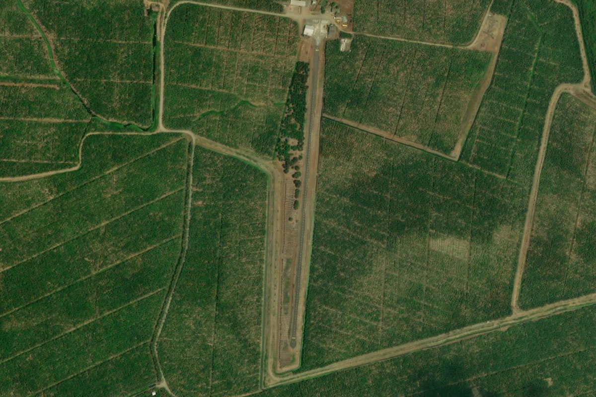
A few miles southwest of Catarama is the small airstrip surrounded by banana plantations
Leg 17
Flying from SECT
Leg Distance: 39.61 Approximate time at 125kts: 19 minutes.
SECT(SECT) to Babahoyo(POI58)
Distance: 8.8NM Bearing: 185° 4 minutes
After takeoff, head south to the large regional town of Babahoyo
Babahoyo(POI58) to Rio Babahoyo(POI59)
Distance: 21.63NM Bearing: 233° 10 minutes
Follow the Babahoyo River southwest
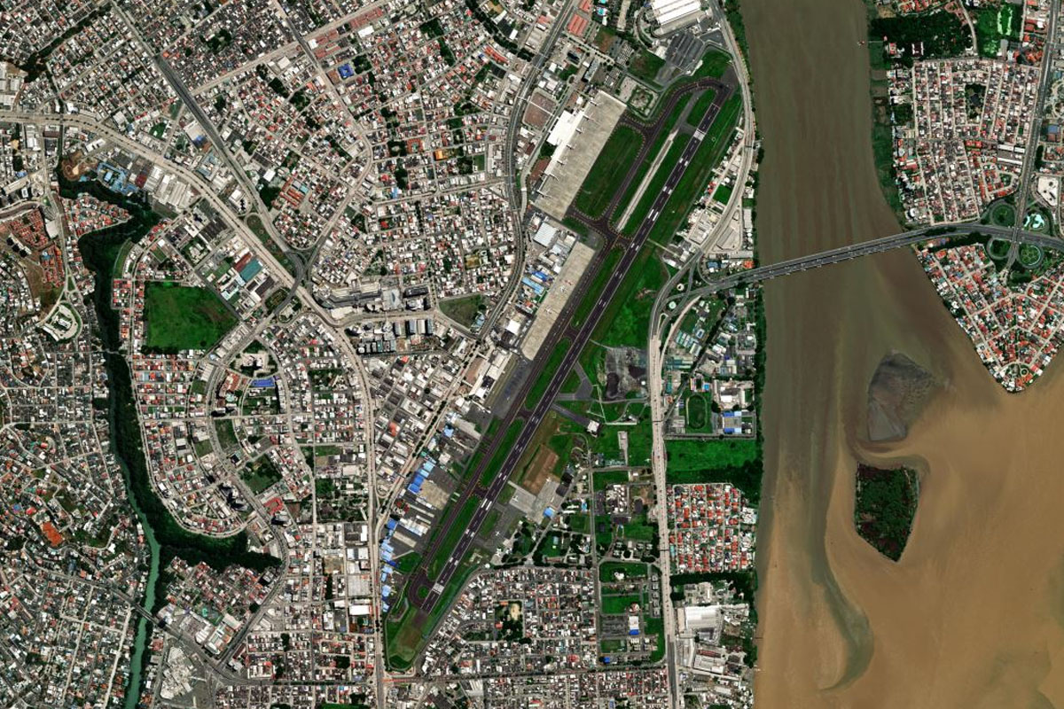
Rio Babahoyo(POI59) to SEGU(SEGU)
Distance: 9.18NM Bearing: 219° 4 minutes
The Babahoyo River will meet the Daule River to form the Guayas River at the city of Guayaquil, the final stop on this stage of the tour. The airport sits next to the junction of these rivers