Stage 23 of the tour takes us from Ica in southern Peru to the mysterious plains of Nazca, before heading on a spectacular journey through Colca Canyon, one of the country’s most popular destinations. From there, you’ll head into Chile and the beginning of the epic journey down the country’s coastline which stretches for over 4000 kilometres
Total Legs: 19 Total Distance: 1053 Total Time(125kts): 8 hours 25 minutes
Leg 1
Flying from SPLH
Leg Distance: 73.43 Approximate time at 125kts: 35 minutes.
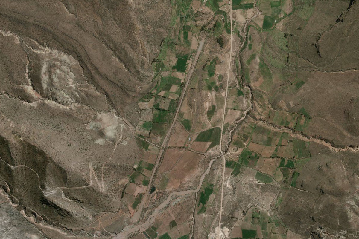
SPLH(SPLH) to Panamericana(POI1)
Distance: 18.99NM Bearing: 166° 9 minutes
After takeoff, head south over the town then follow the highway to the southern end of the farmed area
Panamericana(POI1) to Palpa(POI2)
Distance: 29.51NM Bearing: 118° 14 minutes
Follow the highway across the desert to the town of Palpa in the foothills
Palpa(POI2) to Nazca(POI3)
Distance: 8.83NM Bearing: 173° 4 minutes
Follow the highway south to where it enters the Nazca plain
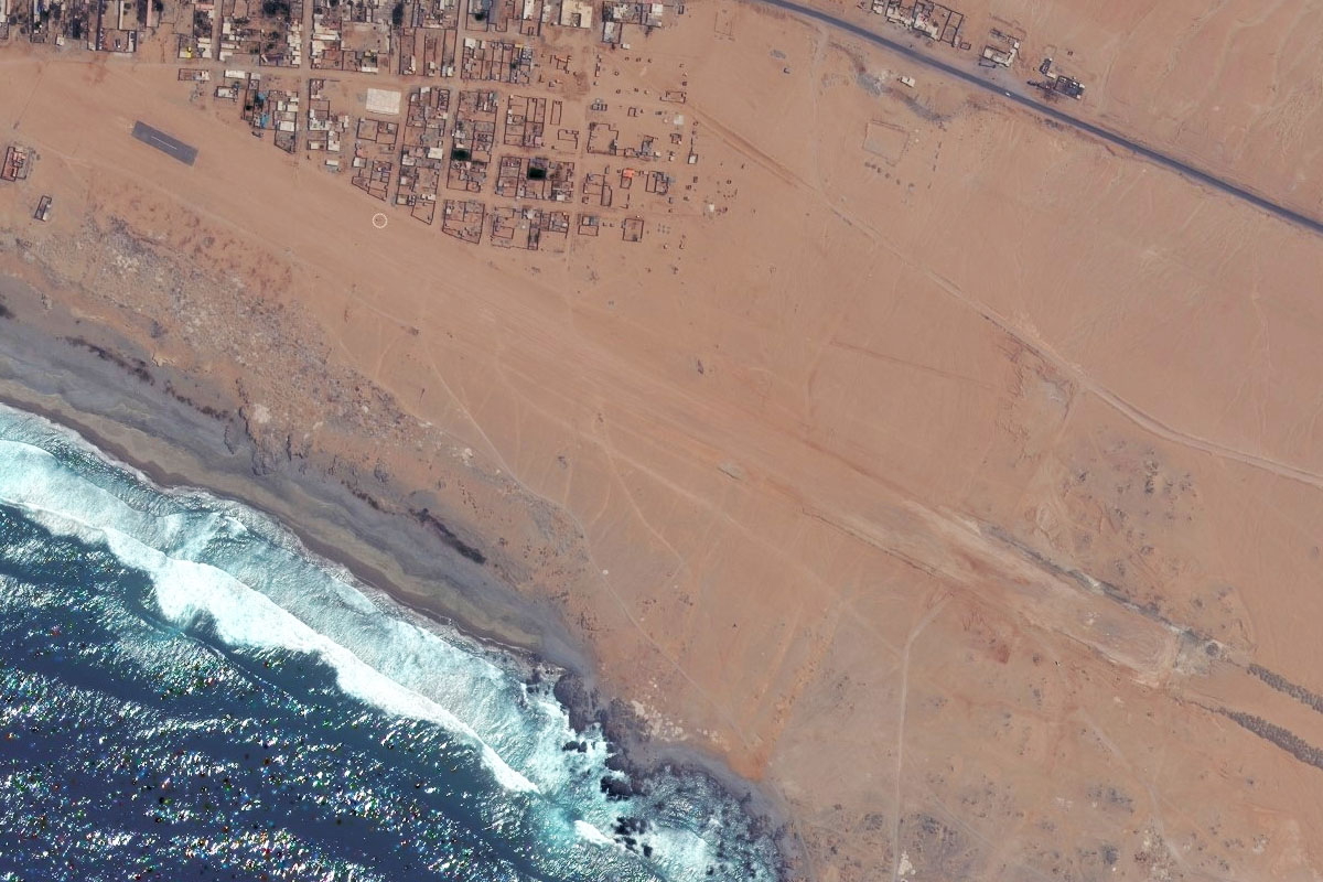
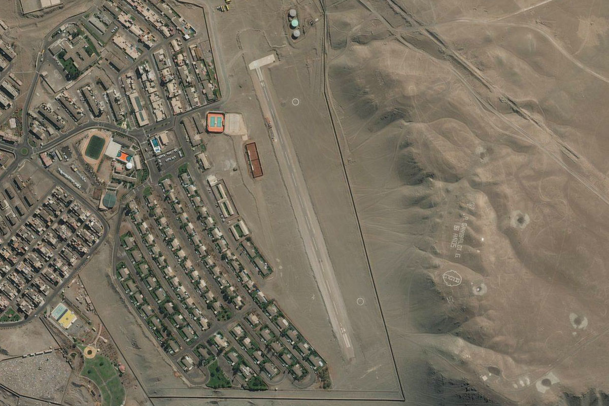
Nazca(POI3) to Nazca(POI4)
Distance: 13.34NM Bearing: 131° 6 minutes
Continue following the highway southeast across the Nazca plain for a view of the famous (and mysterious) Nazca Lines. You may also see some of the famous drawings such as the spider, the spiral and the condor
Nazca(POI4) to SPZA(SPZA)
Distance: 2.76NM Bearing: 155° 1 minutes
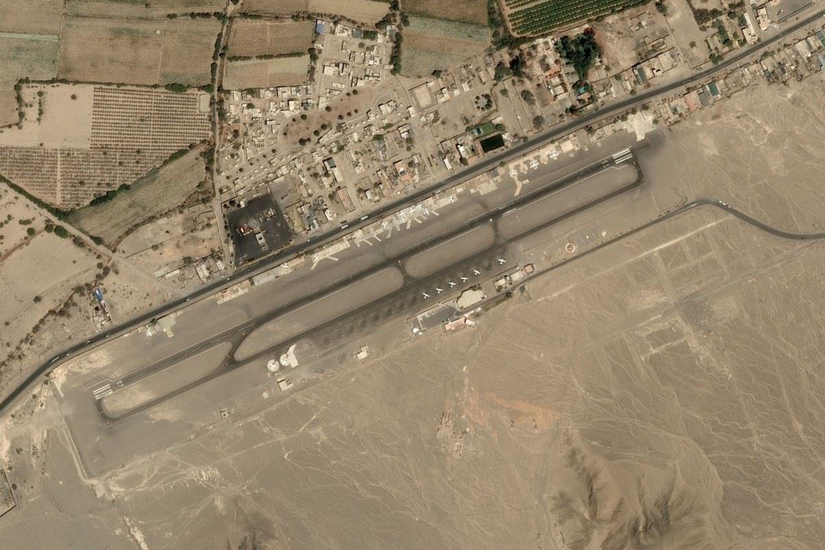
As the highway reaches the farmland on the outskirts of the town of Nasca, head south to the airport at the base of the hills
Leg 2
Flying from SPZA
Leg Distance: 35 Approximate time at 125kts: 17 minutes.
SPZA(SPZA) to San Nicolas(POI5)
Distance: 28.25NM Bearing: 215° 14 minutes
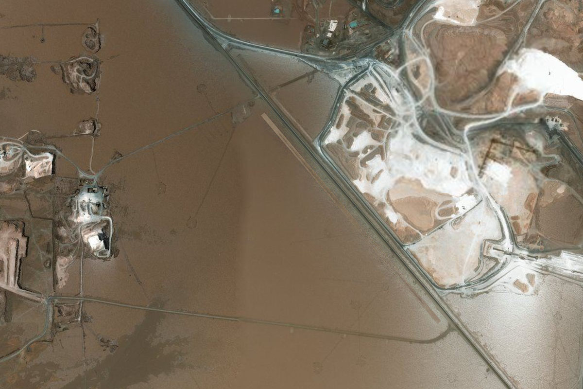
Head southwest across the desert plain, passing the giant Marcona iron ore mine along the way
San Nicolas(POI5) to SPJN(SPJN)
Distance: 6.75NM Bearing: 150° 3 minutes
Turn southeast and follow the coast to the airstrip at San Juan De Marcona
Leg 3
Flying from SPJN
Leg Distance: 41.26 Approximate time at 125kts: 20 minutes.
SPJN(SPJN) to Marcona(POI6)
Distance: 3.92NM Bearing: 159° 2 minutes
Head southeast to the coast
Marcona(POI6) to Playa de Yauca(POI7)
Distance: 28.42NM Bearing: 122° 14 minutes
Follow the coast southeast until you reach the farmland at the mouth of the Yauca River
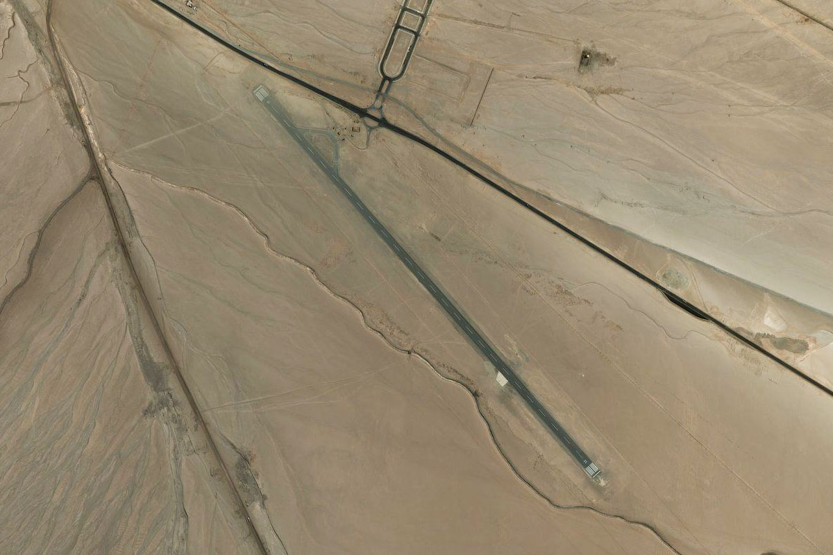
Playa de Yauca(POI7) to SPYU(SPYU)
Distance: 8.92NM Bearing: 89° 4 minutes
Turn east towards the large dirt airstrip which sits about 5 miles inland from the coast
Leg 4
Flying from SPYU
Leg Distance: 65.9 Approximate time at 125kts: 32 minutes.
SPYU(SPYU) to Chala(POI8)
Distance: 22.56NM Bearing: 136° 11 minutes
After takeoff, head southeast over the hills and back to the coast
Chala(POI8) to La Punta(POI9)
Distance: 37.89NM Bearing: 129° 18 minutes
Follow the coast southeast
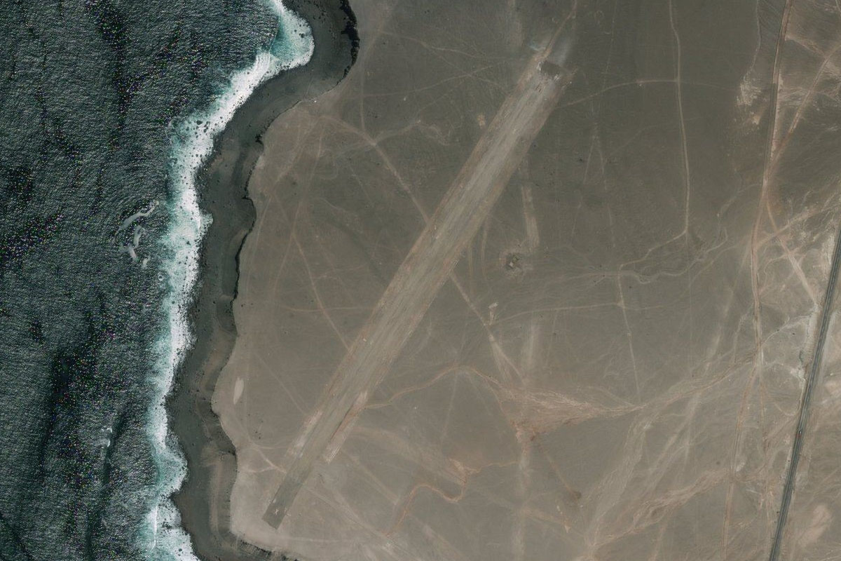
La Punta(POI9) to SPOY(SPOY)
Distance: 5.45NM Bearing: 101° 3 minutes
From the rocky outcrop at Punta Atico (which is a national reserve), turn east along the coast to the town of Atico, and the airport next to the shore
Leg 5
Flying from SPOY
Leg Distance: 46.84 Approximate time at 125kts: 22 minutes.
SPOY(SPOY) to Rio Caraveli(POI10)
Distance: 21.52NM Bearing: 120° 10 minutes
Continue southeast along the coast to the first of two river canyons which head north into the mountains
Rio Caraveli(POI10) to Rio Ocona(POI11)
Distance: 10.52NM Bearing: 42° 5 minutes
Fly northeast into the second and larger canyon formed by the Ocoña River
Rio Ocona(POI11) to Rio Ocona(POI12)
Distance: 10.16NM Bearing: 1° 5 minutes
Head north along the canyon, climbing as you go. Aim to be level with the canyon rim
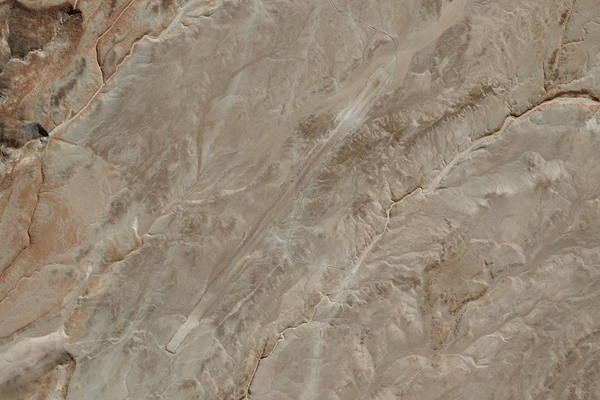
Rio Ocona(POI12) to SPUA(SPUA)
Distance: 4.64NM Bearing: 75° 2 minutes
Look out for a depression high in the canyon's right wall, then follow it to the east to the airstrip which sits 6000ft above the canyon floor
Leg 6
Flying from SPUA
Leg Distance: 65.69 Approximate time at 125kts: 32 minutes.
SPUA(SPUA) to Aplao(POI13)
Distance: 34.75NM Bearing: 96° 17 minutes
Head east across the foothills of Coropuna, Peru's highest volcanic peak which is 30 miles to the north. You will eventually reach green valley of the Colca River leading north
Aplao(POI13) to Rio Colca(POI14)
Distance: 11.86NM Bearing: 16° 6 minutes
Follow the Colca River valley north
Rio Colca(POI14) to Rio Colca(POI15)
Distance: 7.19NM Bearing: 89° 3 minutes
Turn right at the valley junction and follow the river east. Aim for about 8000 feet to set up your approach into Ayo
Rio Colca(POI15) to Rio Colca(POI16)
Distance: 8.85NM Bearing: 42° 4 minutes
Keep following the river northeast through the rugged canyon
Rio Colca(POI16) to SP1A(SP1A)
Distance: 3.04NM Bearing: 338° 1 minutes
When you see a large valley opening to the left, fly northwest along it to the town of Ajo. The dirt airstrip runs alongside the road leading north from the town
Leg 7
Flying from SP1A
Leg Distance: 41.8 Approximate time at 125kts: 20 minutes.
SP1A(SP1A) to Rio Colca(POI17)
Distance: 2.76NM Bearing: 143° 1 minutes
From Ayo, head southeast back to the Colca River
Rio Colca(POI17) to Colca Canyon(POI18)
Distance: 10.12NM Bearing: 54° 5 minutes
Turn left and follow the canyon northeast
Colca Canyon(POI18) to Colca Canyon(POI19)
Distance: 15.45NM Bearing: 96° 7 minutes
Keep following the canyon east. This spectacular canyon is one of Peru's most popular tourist attractions
Colca Canyon(POI19) to Achoma(POI20)
Distance: 10.25NM Bearing: 114° 5 minutes
Keep following the river, as the canyon flattens out to a more gentle valley populated by small towns and villages
Achoma(POI20) to SP1C(SP1C)
Distance: 3.22NM Bearing: 82° 2 minutes
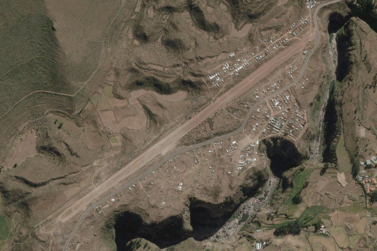
Follow the valley as it turns northeast to the town of Chivay, and the dirt airstrip next to the town which is at an elevation of 12400 feet
Leg 8
Flying from SP1C
Leg Distance: 44.35 Approximate time at 125kts: 21 minutes.
SP1C(SP1C) to Achoma(POI21)
Distance: 3.33NM Bearing: 248° 2 minutes
With higher terrain blocking the way ahead, takeoff and head west back along the river
Achoma(POI21) to Colca Canyon(POI22)
Distance: 10.59NM Bearing: 295° 5 minutes
Follow the river west back to Colca Canyon
Colca Canyon(POI22) to Colca Canyon(POI23)
Distance: 15.31NM Bearing: 276° 7 minutes
Follow the canyon west
Colca Canyon(POI23) to Rio Colca(POI24)
Distance: 7.81NM Bearing: 236° 4 minutes
Follow the canyon southwest and be on the lookout for the Huambo River valley to the left
Rio Colca(POI24) to Rio Huambo(POI25)
Distance: 3.45NM Bearing: 95° 2 minutes
Make a sharp turn to the left and follow the Huambo river as it climbs around to the east
Rio Huambo(POI25) to Huambo(POI26)
Distance: 2.59NM Bearing: 133° 1 minutes
Continue climbing southeast to the town of Huambo, over 11000 feet in elevation
Huambo(POI26) to SP1H(SP1H)
Distance: 1.27NM Bearing: 192° 1 minutes
Huambo airstrip is just south of the town
Leg 9
Flying from SP1H
Leg Distance: 60.42 Approximate time at 125kts: 29 minutes.
SP1H(SP1H) to Huambo(POI27)
Distance: 1.23NM Bearing: 350° 1 minutes
After takeoff, head north back past the town
Huambo(POI27) to Rio Huambo(POI28)
Distance: 2.18NM Bearing: 315° 1 minutes
Follow the river northwest back along the valley
Rio Huambo(POI28) to Rio Colca(POI29)
Distance: 3.9NM Bearing: 276° 2 minutes
Head west back to the Colca River – keep your altitude high
Rio Colca(POI29) to Rio Colca(POI30)
Distance: 10.97NM Bearing: 223° 5 minutes
Follow the canyon southwest
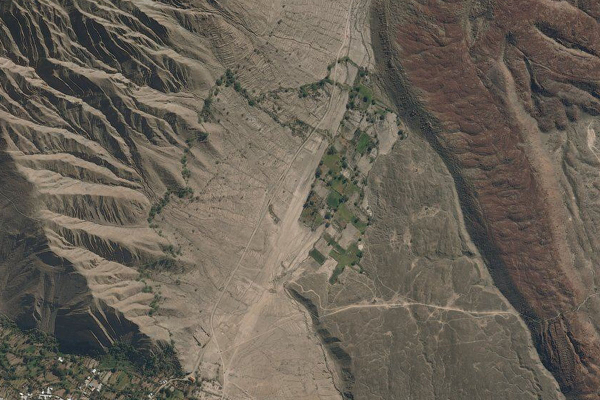
Rio Colca(POI30) to Hacienda Peru(POI31)
Distance: 5.6NM Bearing: 228° 3 minutes
Continue following the valley southwest. When the mountains to the south are low enough, leave the river canyon and fly south over the mountains
Hacienda Peru(POI31) to El Pionero(POI32)
Distance: 28.25NM Bearing: 161° 14 minutes
Turning to the southeast, you should see a large area of farmland in the middle of the plain ahead. Head in that direction as you descend
El Pionero(POI32) to SP1S(SP1S)
Distance: 8.29NM Bearing: 157° 4 minutes
Continue southeast over the farmland and the small river canyon to a smaller area of farmland, where there is a dirt airstrip at the northwestern edge
Leg 10
Flying from SP1S
Leg Distance: 32.24 Approximate time at 125kts: 15 minutes.
SP1S(SP1S) to El Misti(POI33)
Distance: 28.7NM Bearing: 82° 14 minutes
After takeoff, head east in the direction of the volcanic peak of El Misti. The group of volcanic peaks to the left is known as Chachani
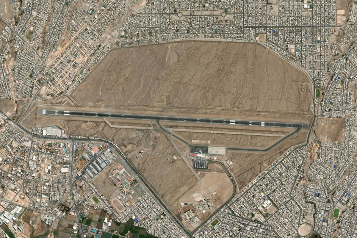
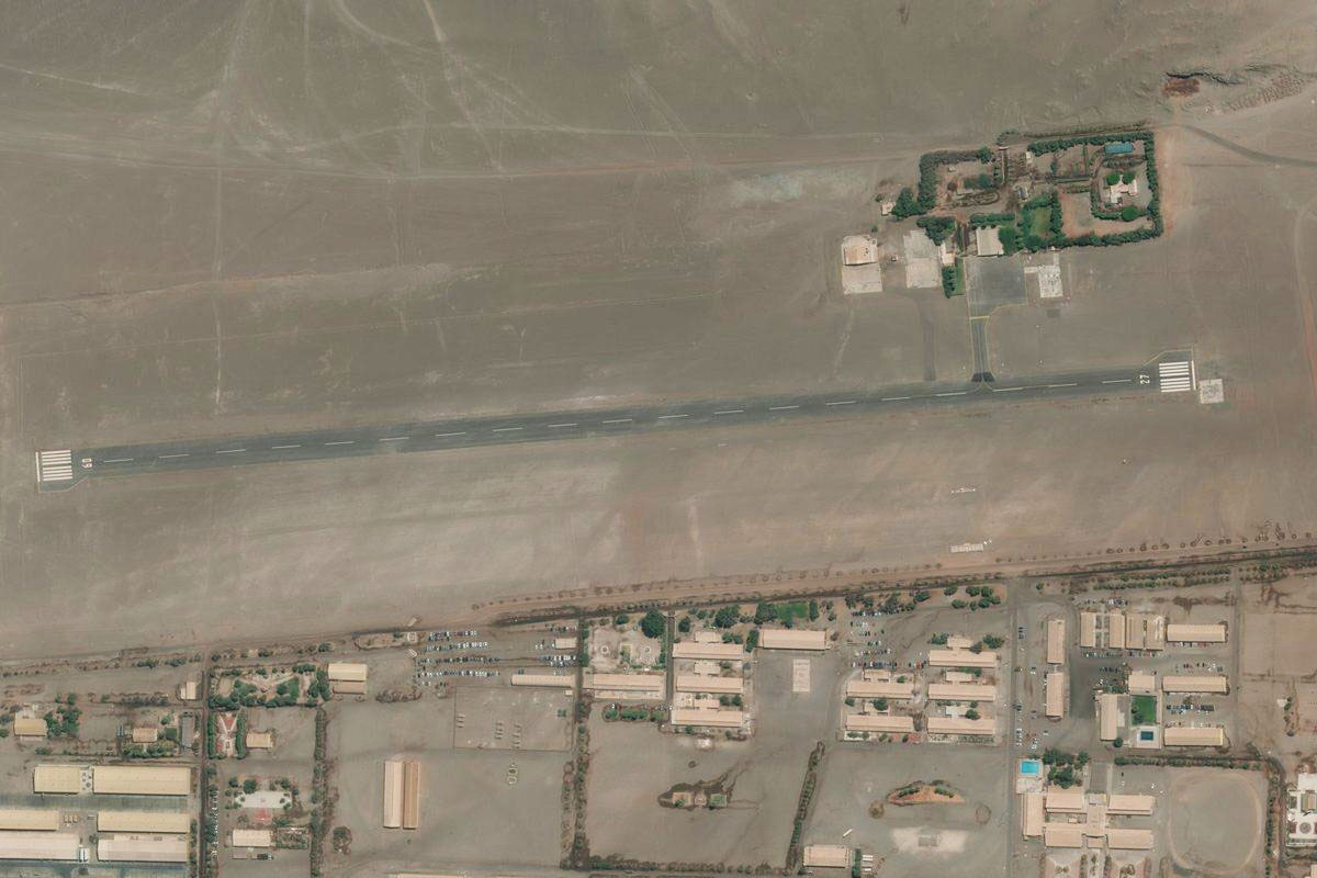
El Misti(POI33) to SPQU(SPQU)
Distance: 3.54NM Bearing: 96° 2 minutes
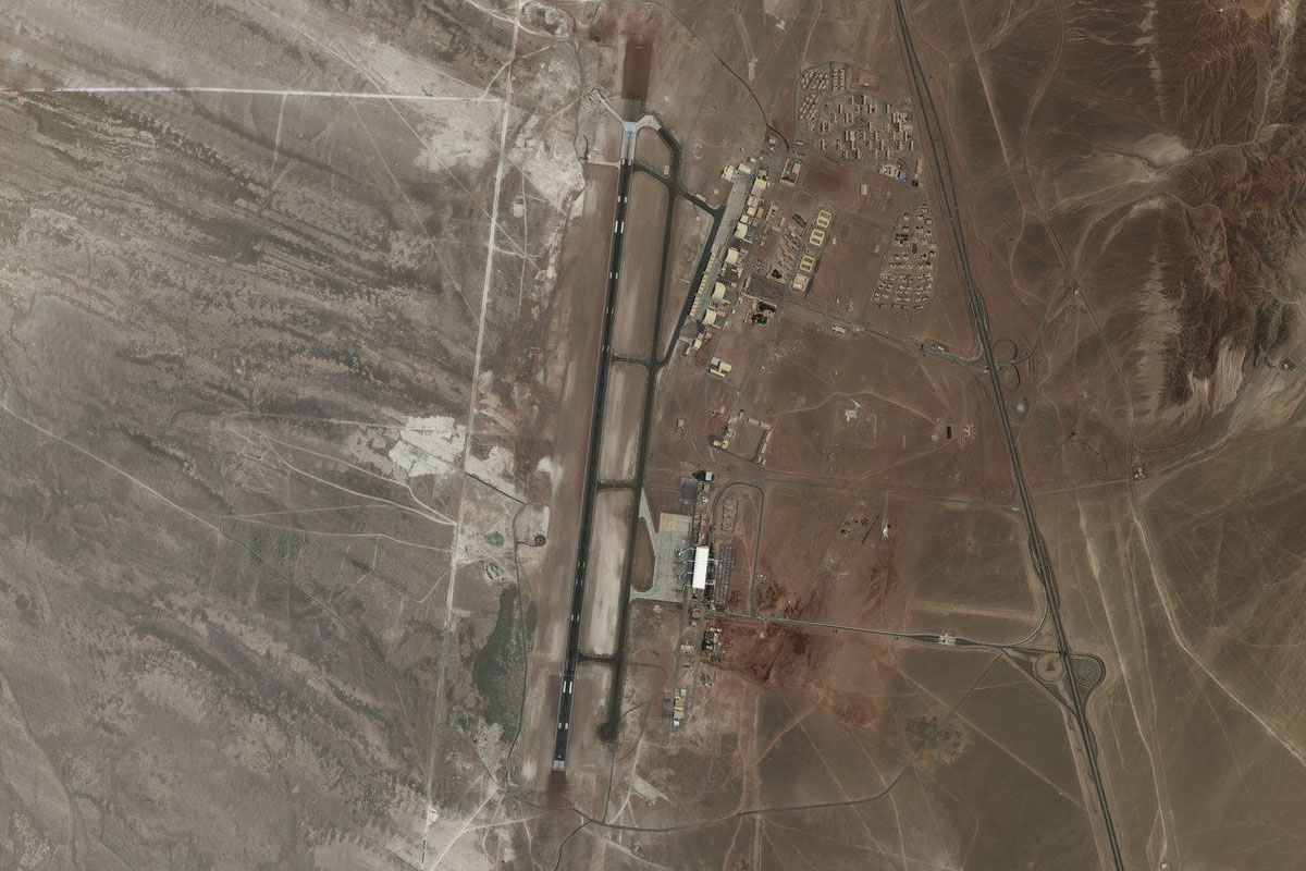
As you get closer to the volcano, you'll reach the outskirts of Arequipa, and Ballon International Airport
Leg 11
Flying from SPQU
Leg Distance: 37.77 Approximate time at 125kts: 18 minutes.
SPQU(SPQU) to Arequipa(POI34)
Distance: 6.04NM Bearing: 147° 3 minutes
After takeoff, head southeast to the city of Arequipa, Peru's second largest city
Arequipa(POI34) to Cerro Verde(POI35)
Distance: 18.98NM Bearing: 225° 9 minutes
From Arequipa, head southwest over the mountains and the large Cerro Verde copper mine
Cerro Verde(POI35) to SP70(SP70)
Distance: 12.75NM Bearing: 241° 6 minutes
Continue southwest towards another area of farmland, just south of which lies the Mariano Melgar airport
Leg 12
Flying from SP70
Leg Distance: 65.32 Approximate time at 125kts: 31 minutes.
SP70(SP70) to La Curva(POI36)
Distance: 20.7NM Bearing: 183° 10 minutes
Head south to meet the coast near the mouth of the Tambo River
La Curva(POI36) to Corio(POI37)
Distance: 24.92NM Bearing: 122° 12 minutes
Follow the coast southeast
Corio(POI37) to SPCI(SPCI)
Distance: 19.7NM Bearing: 162° 9 minutes
Follow the coast as it turns towards the town of Ilo, and the small airstrip at the northern edge of town
Leg 13
Flying from SPCI
Leg Distance: 80.13 Approximate time at 125kts: 38 minutes.
SPCI(SPCI) to Boca Del Rio(POI38)
Distance: 49.94NM Bearing: 138° 24 minutes
After takeoff, head southeast to once again follow the coast
Boca Del Rio(POI38) to Arica(POI39)
Distance: 27.22NM Bearing: 140° 13 minutes
Keep following the coast southeast, crossing into Chile and the port town of Arica
Arica(POI39) to SCAE(SCAE)
Distance: 2.97NM Bearing: 142° 1 minutes
El Buitre airport is a few miles southeast of the port
Leg 14
Flying from SCAE
Leg Distance: 86.06 Approximate time at 125kts: 41 minutes.
SCAE(SCAE) to Cerro Camarcas(POI40)
Distance: 6.32NM Bearing: 218° 3 minutes
After takeoff, head back to the coast
Cerro Camarcas(POI40) to Coastal Cliffs(POI41)
Distance: 35.93NM Bearing: 182° 17 minutes
Follow the coast south, enjoying the beautiful coastal cliffs of northern Chile
Coastal Cliffs(POI41) to Punta Pichalo(POI42)
Distance: 25.87NM Bearing: 178° 12 minutes
Continue south along the coast. When you reach the small peninsula of Punta Pichalo near the town of Pisagua, head east
Punta Pichalo(POI42) to SCIQ(SCIQ)
Distance: 17.94NM Bearing: 97° 9 minutes
Cross the coastal hills heading east to reach Zapiga airport in the flat plain beyond
Leg 15
Flying from SCIQ
Leg Distance: 81.72 Approximate time at 125kts: 39 minutes.
SCIQ(SCIQ) to Pampa del Tamarugal National Reserve(POI43)
Distance: 4.32NM Bearing: 185° 2 minutes
After takeoff, head south to meet the highway passing through the Pampa del Tamarugal National Reserve, a protected area of planted tamarugo trees
Pampa del Tamarugal National Reserve(POI43) to Highway 5(POI44)
Distance: 13.18NM Bearing: 156° 6 minutes
Follow the highway's straight line southeast
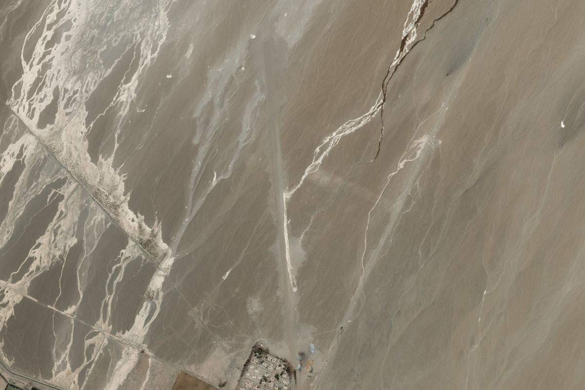
Highway 5(POI44) to Atacama Giant(POI45)
Distance: 9.34NM Bearing: 122° 4 minutes
When the highway makes a slight right turn, turn left and head towards the lone group of hills in the middle of the plain to the southeast. On the side of the hill is a group of prehistoric geoglyphs, the largest being the famous Atacama Giant
Atacama Giant(POI45) to Highway 5(POI46)
Distance: 8.91NM Bearing: 226° 4 minutes
Head southwest to meet up with the highway again
Highway 5(POI46) to Humberstone(POI47)
Distance: 9.35NM Bearing: 206° 4 minutes
Follow the highway south until you reach the interchange at the UNESCO listed ghost town of Humberstone, a former nitrate mine, then turn west to follow the Autopista Humberstone-Iquique
Humberstone(POI47) to Iquique(POI48)
Distance: 20.33NM Bearing: 268° 10 minutes
Follow the road west to the coastal city of Iquique, one of the major cities of the Atacama desert
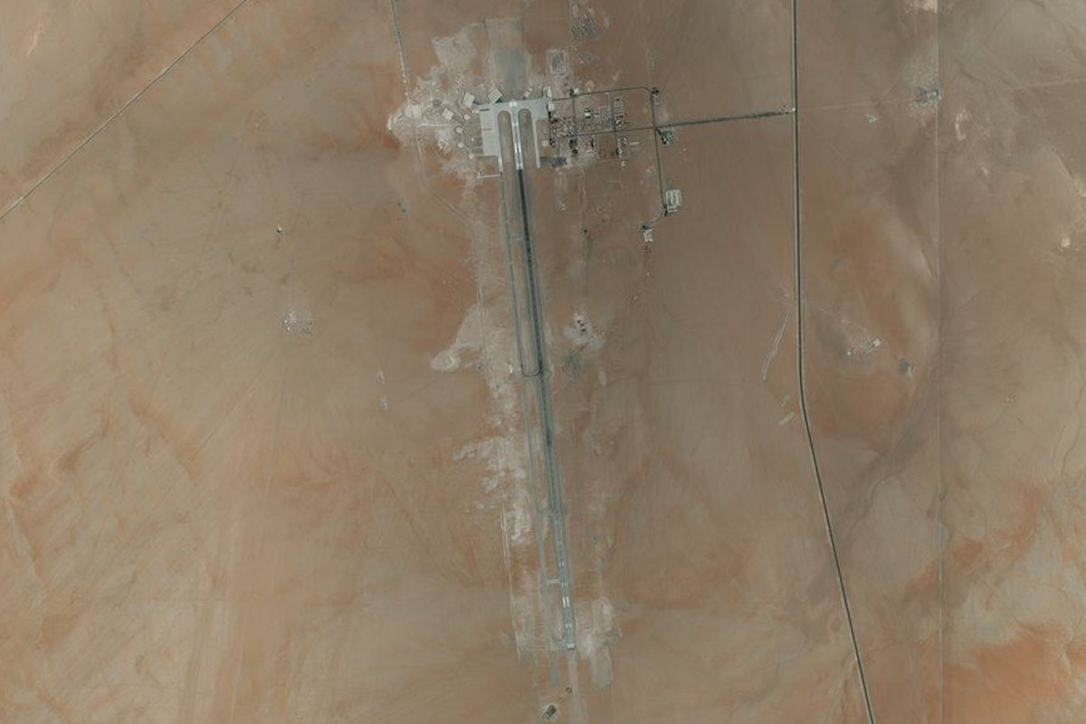
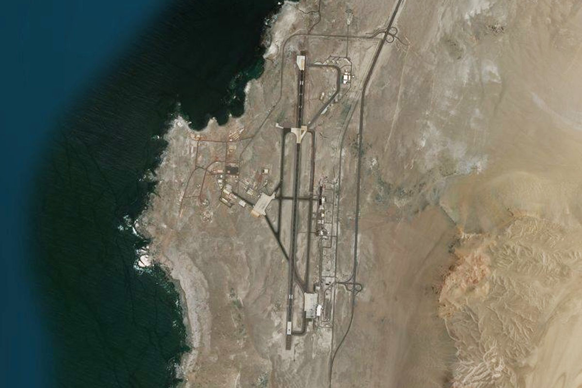
Iquique(POI48) to SCDA(SCDA)
Distance: 16.29NM Bearing: 194° 8 minutes
From the city, follow the coast south to the airport
Leg 16
Flying from SCDA
Leg Distance: 27.92 Approximate time at 125kts: 13 minutes.
SCDA(SCDA) to Puerto Patache(POI49)
Distance: 16.62NM Bearing: 190° 8 minutes
Follow the coast south, passing the power station and port of Patache
Puerto Patache(POI49) to Ruta A-750(POI50)
Distance: 6.72NM Bearing: 103° 3 minutes
From Puerto Patache, climb east onto the plain and meet the road heading southeast
Ruta A-750(POI50) to SC1S(SC1S)
Distance: 4.58NM Bearing: 155° 2 minutes
Follow the road southeast to the large Salina Bahia Blanca salt mine. The temporary landing strip runs alongside the western edge of the mine with the road
Leg 17
Flying from SC1S
Leg Distance: 81.9 Approximate time at 125kts: 39 minutes.
SC1S(SC1S) to Salar Grande(POI51)
Distance: 19.91NM Bearing: 171° 10 minutes
Fly to the southern end of the dry salt lake
Salar Grande(POI51) to Tocopilla(POI52)
Distance: 53.23NM Bearing: 202° 26 minutes
From the salt lake, head southwest back to the coastal cliffs and fly along the top of the cliffs south to the town of Tocopilla
Tocopilla(POI52) to SCBE(SCBE)
Distance: 8.76NM Bearing: 128° 4 minutes
From the town of Tocopilla, turn to the southeast and head inland to the airport
Leg 18
Flying from SCBE
Leg Distance: 37.95 Approximate time at 125kts: 18 minutes.
SCBE(SCBE) to Punta Copaca(POI53)
Distance: 15.19NM Bearing: 229° 7 minutes
After takeoff, head southwest back to the coast
Punta Copaca(POI53) to SCMY(SCMY)
Distance: 22.76NM Bearing: 190° 11 minutes
Follow the coast south. Just after the rocky point of Punta Tames, you will reach the dirt airstrip between the highway and the ocean
Leg 19
Flying from SCMY
Leg Distance: 46.81 Approximate time at 125kts: 22 minutes.
SCMY(SCMY) to Mejillones(POI54)
Distance: 25.92NM Bearing: 210° 12 minutes
After takeoff, head southwest over the bay to the town of Mejillones
Mejillones(POI54) to SCFA(SCFA)
Distance: 20.89NM Bearing: 181° 10 minutes
Head south over the desert peninsula to Andrés Sabella Gálvez International Airport, the main airport serving Antofagasta, the fifth largest city in Chile