Welcome to stage 24, and the continuing journey south through Chile. Starting at Antofagasta on the Tropic of Capricorn, you’ll journey east to explore more of the Atacama Desert, an area not just important for the country’s mining industry, but also for the world’s astronomers, with many of the best observatories in the world set up here. Continuing south along Chile’s long Pacific coast, you’ll leave the desert for more fertile land as you reach the capital and largest city, Santiago.
Total Legs: 20 Total Distance: 1029 Total Time(125kts): 8 hours 13 minutes
Leg 1
Flying from SCFA
Leg Distance: 59.81 Approximate time at 125kts: 29 minutes.
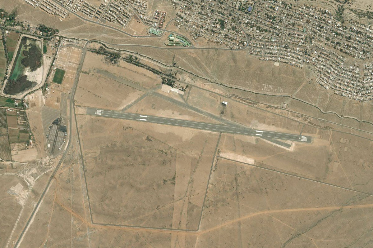
SCFA(SCFA) to Antofagasta(POI1)
Distance: 11.32NM Bearing: 171° 5 minutes
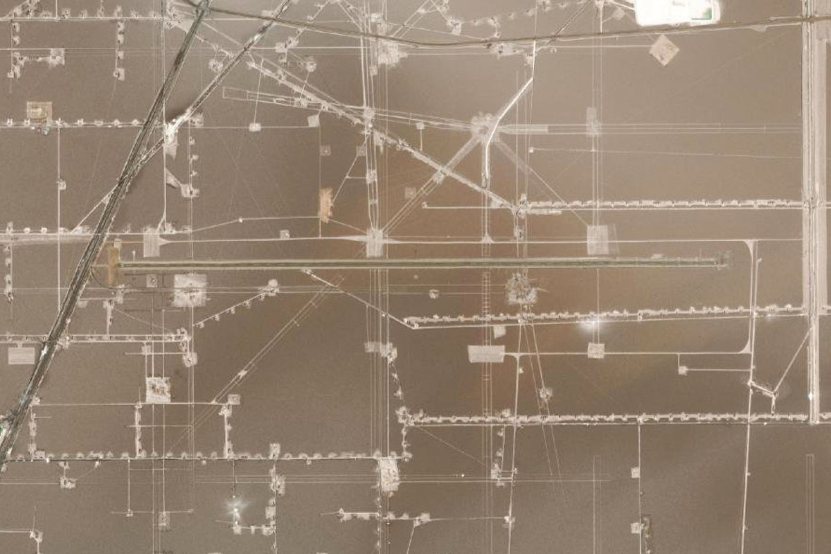
After takeoff, head south to the port city of Antofagasta, which is central to the region's mining operations
Antofagasta(POI1) to Panamericana Norte(POI2)
Distance: 6.37NM Bearing: 93° 3 minutes
As you near the city's central train yard, turn left and follow the highway east over the mountains
Panamericana Norte(POI2) to Baquedano(POI3)
Distance: 28.45NM Bearing: 59° 14 minutes
The road will meet the Panamerica Highway which you will follow northeast to the town of Baquedano, passing the huge Mantos Blancos copper mine on the way
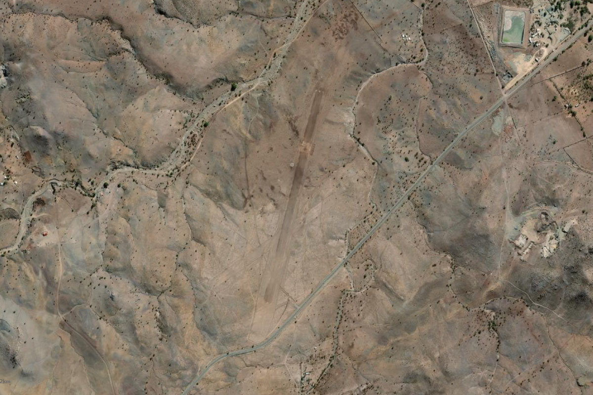
Baquedano(POI3) to SCOR(SCOR)
Distance: 13.67NM Bearing: 2° 7 minutes
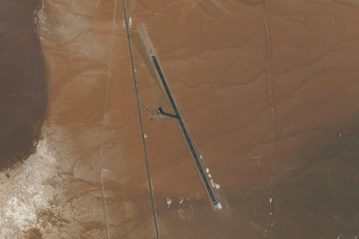
As you near the decorated interchange before the town of Baquedano, turn north and head to the landing strip at the Algorta Norte iodine mine
Leg 2
Flying from SCOR
Leg Distance: 69.44 Approximate time at 125kts: 33 minutes.
SCOR(SCOR) to Ruta 25(POI4)
Distance: 20.37NM Bearing: 92° 10 minutes
Head east after takeoff until you see the two highways – one heading north and the second heading northeast. Follow the second highway northeast
Ruta 25(POI4) to Sierra Gorda(POI5)
Distance: 20.38NM Bearing: 48° 10 minutes
Continue along the highway, passing the large Sierra Gorda and Spence copper mines
Sierra Gorda(POI5) to SCCF(SCCF)
Distance: 28.69NM Bearing: 51° 14 minutes
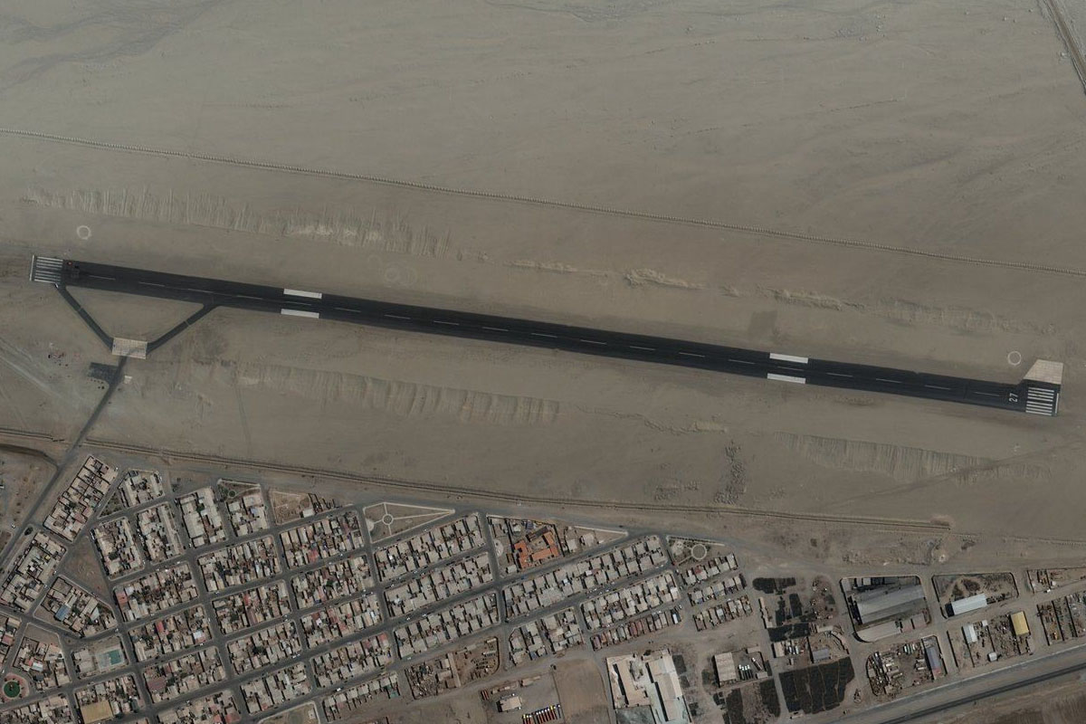
Keep following the highway to the town of Calama. The airport is just southeast of the town. Just north of the town is the second largest copper mine in the world, Chuquicamata
Leg 3
Flying from SCCF
Leg Distance: 51.21 Approximate time at 125kts: 25 minutes.
SCCF(SCCF) to Ruta 23(POI6)
Distance: 31.53NM Bearing: 122° 15 minutes
Follow the highway heading southeast across the Atacama Desert
Ruta 23(POI6) to Valle de la Luna(POI7)
Distance: 14.4NM Bearing: 156° 7 minutes
Keep following the highway as it makes a sharp right turn before continuing southeast to the town of San Pedro de Atacama. Just south of the highway before the town is the beautiful landscape of Moon Valley
Valle de la Luna(POI7) to SCPE(SCPE)
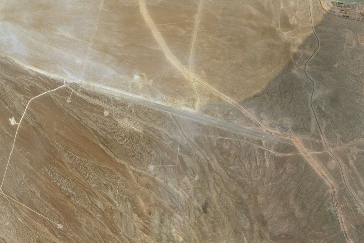
Distance: 5.28NM Bearing: 92° 3 minutes
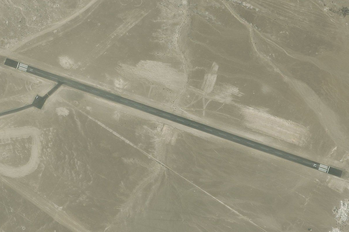
The airport sits just east of the town. The volcanic peak in the distance is Licancabur which sits on the high15000 feet elevation plain
Leg 4
Flying from SCPE
Leg Distance: 49.89 Approximate time at 125kts: 24 minutes.
SCPE(SCPE) to Toconao(POI8)
Distance: 18.33NM Bearing: 160° 9 minutes
After takeoff, head south to meet the highway, then follow it southeast to the small town of Toconao
Toconao(POI8) to Salar de Atacama(POI9)
Distance: 24.92NM Bearing: 229° 12 minutes
From the town, turn and head southwest over the Atacama Salt flat
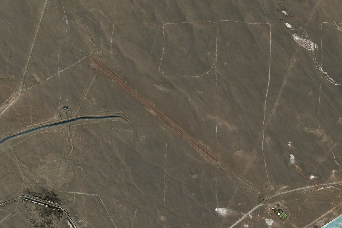
Salar de Atacama(POI9) to SCSM(SCSM)
Distance: 6.64NM Bearing: 230° 3 minutes
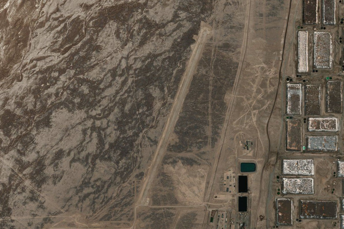
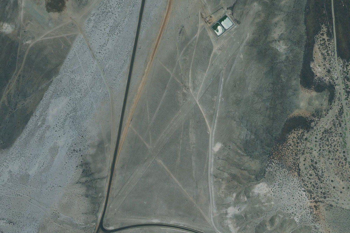
As you approach the southern part of the salt flat, you will see 2 large lithium mining operations with their blue evaporation ponds. Just south of the larger southern group is the airstrip
Leg 5
Flying from SCSM
Leg Distance: 62.53 Approximate time at 125kts: 30 minutes.
SCSM(SCSM) to Substation(POI10)
Distance: 29.05NM Bearing: 212° 14 minutes
After takeoff, head southwest to the end of the salt flat, and climb along the dry river bed until you reach the power substation
Substation(POI10) to Escondida Mine(POI11)
Distance: 24.79NM Bearing: 242° 12 minutes
Turn southwest and fly over the hills into a large shallow bowl area containing the world's largest copper mine – Escondida
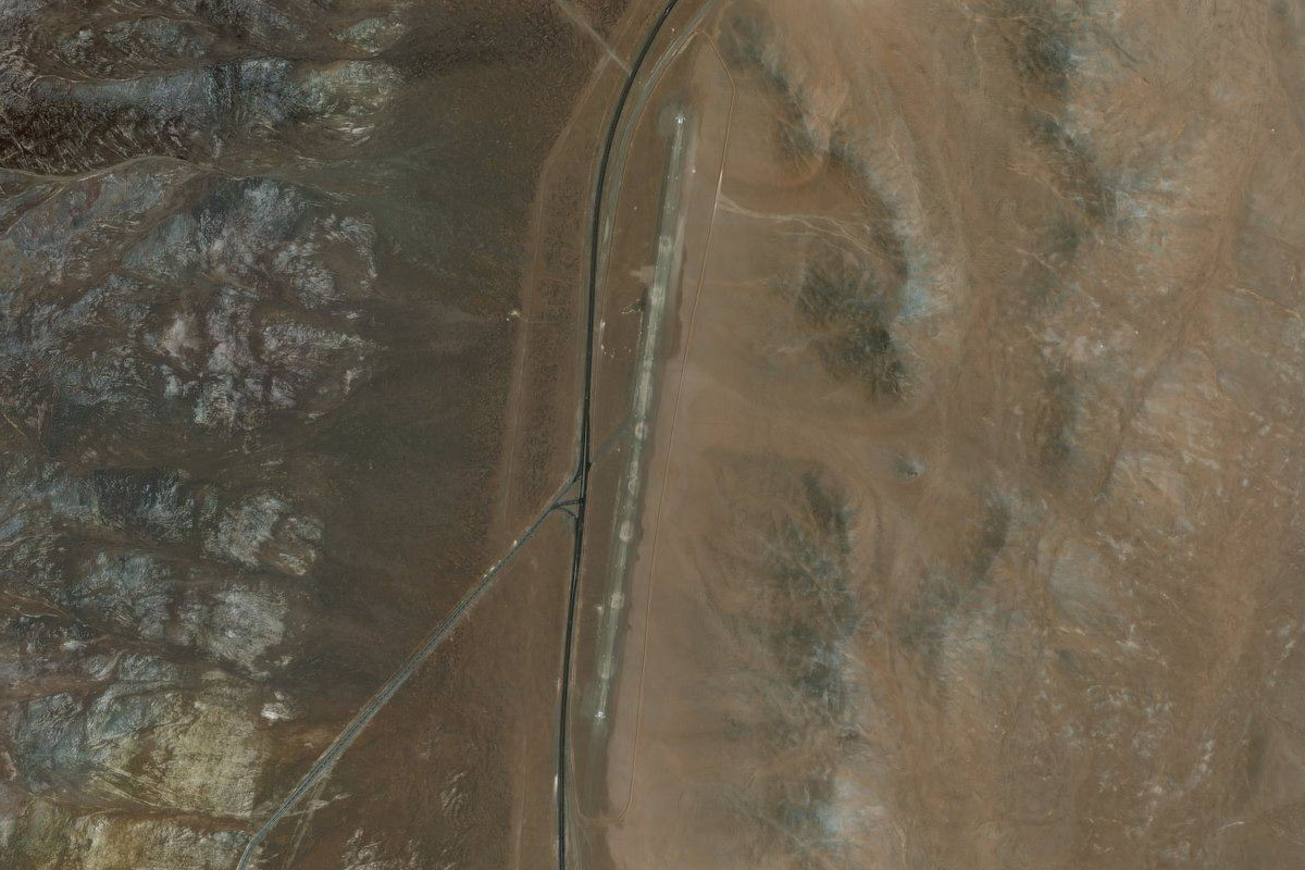
Escondida Mine(POI11) to SCLE(SCLE)
Distance: 8.69NM Bearing: 262° 4 minutes
The runway sits a couple of miles southwest of the large pit
Leg 6
Flying from SCLE
Leg Distance: 44.76 Approximate time at 125kts: 21 minutes.
SCLE(SCLE) to El Penon(POI12)
Distance: 30.33NM Bearing: 274° 15 minutes
Head directly west after takeoff and cross over various groups of hills. When you reach the flat plain, turn northwest
El Penon(POI12) to SCGU(SCGU)
Distance: 14.43NM Bearing: 328° 7 minutes
Heading northwest, look for the group of large rectangular evaporation ponds in the distance and head for the dirt airstrip just to their north
Leg 7
Flying from SCGU
Leg Distance: 50.71 Approximate time at 125kts: 24 minutes.
SCGU(SCGU) to Aguas Blancas(POI13)
Distance: 10.63NM Bearing: 227° 5 minutes
After takeoff, fly southwest over the Aguas Blancas mine
Aguas Blancas(POI13) to B-710(POI14)
Distance: 17.39NM Bearing: 273° 8 minutes
When you reach the highway on the flat land south of the mine, turn west and head over the mountains
B-710(POI14) to SCPA(SCPA)
Distance: 22.69NM Bearing: 193° 11 minutes
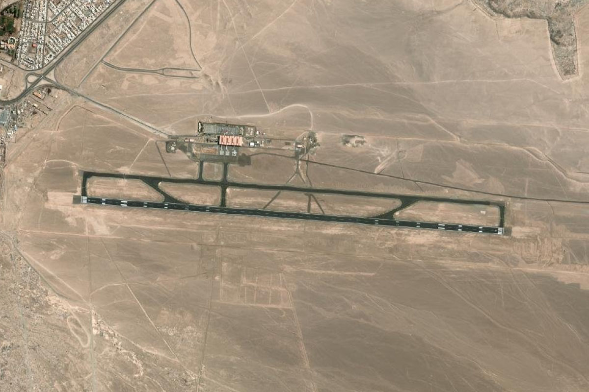
When you reach the highway heading south along a shallow valley, follow it until you reach Paranal Airport. The airport is at the intersection of various roads leading to the nearby observatories, in an important region for observing the cosmos
Leg 8
Flying from SCPA
Leg Distance: 58.63 Approximate time at 125kts: 28 minutes.
SCPA(SCPA) to B-710(POI15)
Distance: 16.68NM Bearing: 195° 8 minutes
After takeoff, continue south along the highway
B-710(POI15) to Santo Domingo(POI16)
Distance: 12.24NM Bearing: 211° 6 minutes
Head to the coast and follow it south
Santo Domingo(POI16) to Taital(POI17)
Distance: 18.66NM Bearing: 180° 9 minutes
Cut south across the bay to the town of Taital
Taital(POI17) to SCTT(SCTT)
Distance: 11.05NM Bearing: 154° 5 minutes
Head southwest from the town, to higher ground and Las Breas Airport
Leg 9
Flying from SCTT
Leg Distance: 54.08 Approximate time at 125kts: 26 minutes.
SCTT(SCTT) to Ruta 5(POI18)
Distance: 13.73NM Bearing: 182° 7 minutes
After takeoff, follow the highway south
Ruta 5(POI18) to Carrizalillo(POI19)
Distance: 22.39NM Bearing: 228° 11 minutes
The highway will turn southwest and point you back to the coast, passing over the 2000ft coastal slopes
Carrizalillo(POI19) to Parque Nacional Pan de Azucar(POI20)
Distance: 14.43NM Bearing: 187° 7 minutes
Follow the coastline of the Pan de Azúcar National Park south
Parque Nacional Pan de Azucar(POI20) to SCRA(SCRA)
Distance: 3.53NM Bearing: 116° 2 minutes
Chañaral airport sits just inland from a wide sandy bay which also houses to town of Chañaral
Leg 10
Flying from SCRA
Leg Distance: 48.81 Approximate time at 125kts: 23 minutes.
SCRA(SCRA) to El Caleuche(POI21)
Distance: 6.59NM Bearing: 230° 3 minutes
Head back to the coast and follow it southwest
El Caleuche(POI21) to Punta Totoralillo(POI22)
Distance: 30.18NM Bearing: 196° 14 minutes
Follow the coast south, past the iron-ore port at Punta Totoralillo
Punta Totoralillo(POI22) to Caldera(POI23)
Distance: 10.09NM Bearing: 182° 5 minutes
Continue south along the coast to the town of Caldera
Caldera(POI23) to SCCL(SCCL)
Distance: 1.95NM Bearing: 137° 1 minutes
The airport is at the southeastern edge of the town
Leg 11
Flying from SCCL
Leg Distance: 65.92 Approximate time at 125kts: 32 minutes.
SCCL(SCCL) to Rio Copiapo(POI24)
Distance: 15.9NM Bearing: 183° 8 minutes
Fly south, now over the flatter coastal plain
Rio Copiapo(POI24) to Caleta Las Torres(POI25)
Distance: 32.27NM Bearing: 213° 15 minutes
When you reach the Copiapó River, turn southwest back towards the coast
Caleta Las Torres(POI25) to Caleta Corrales(POI26)
Distance: 11.12NM Bearing: 197° 5 minutes
Continue south along the rocky coastline
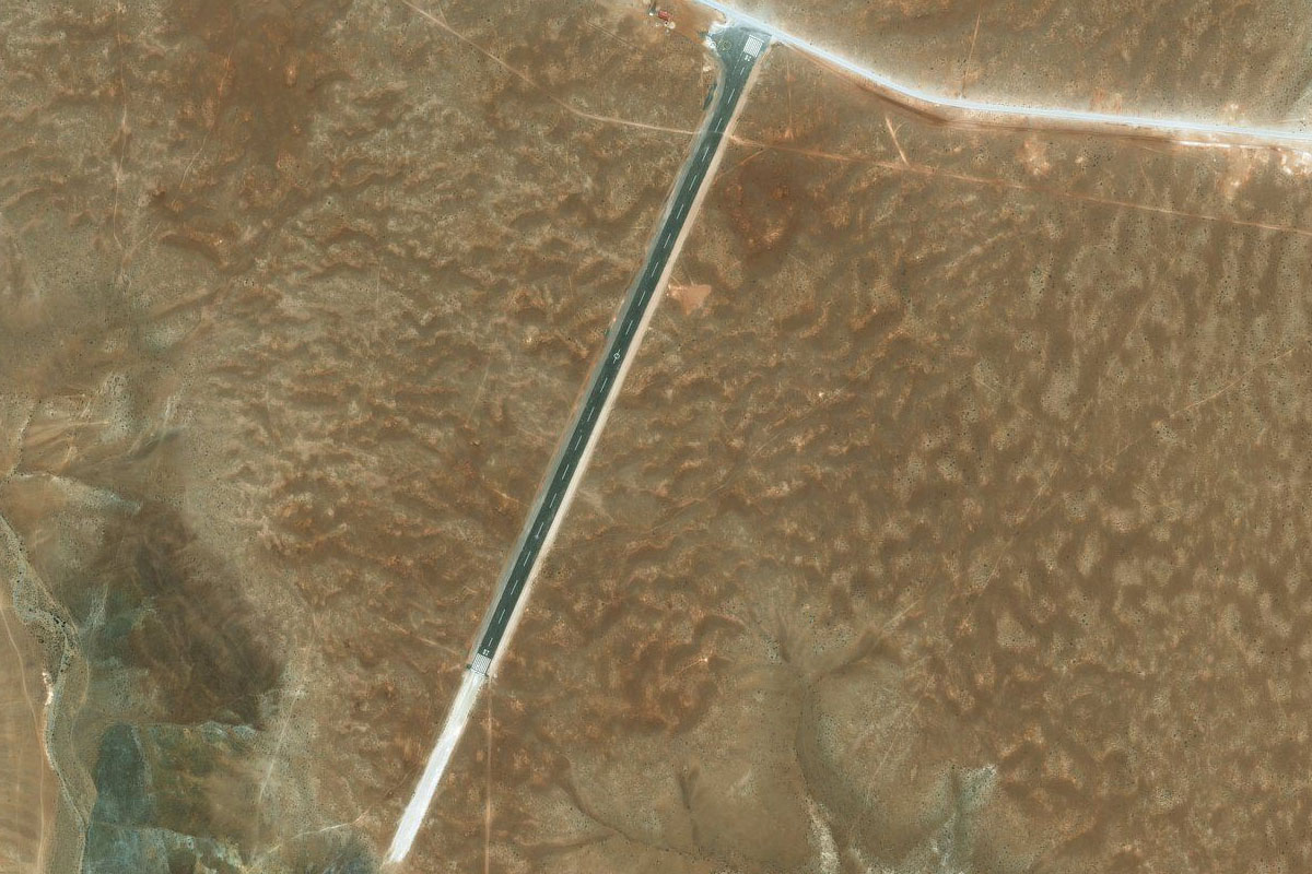
Caleta Corrales(POI26) to SCHU(SCHU)
Distance: 6.63NM Bearing: 181° 3 minutes
Continue south to the town of Carrizal Bajo, and the small airport just south of the town next to the highway
Leg 12
Flying from SCHU
Leg Distance: 46.35 Approximate time at 125kts: 22 minutes.
SCHU(SCHU) to Huasco(POI27)
Distance: 21.38NM Bearing: 190° 10 minutes
After takeoff, continue south along the coast until you reach the town of Huasco at the mouth of the Huasco River
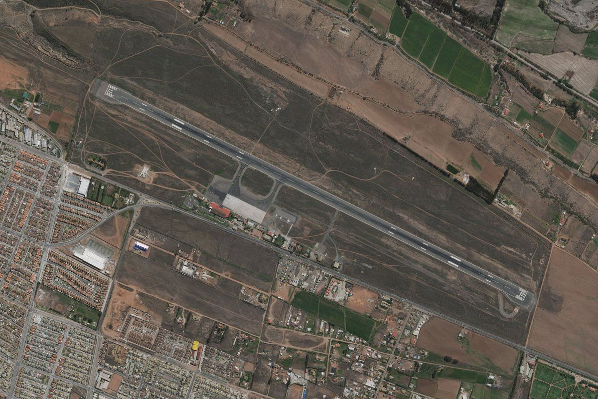
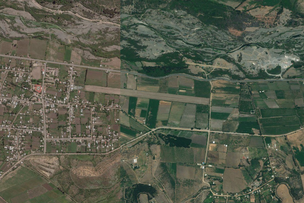
Huasco(POI27) to SCLL(SCLL)
Distance: 24.97NM Bearing: 112° 12 minutes
Follow the river and green farmland east to the large town of Vallenar, and the airport south of the town
Leg 13
Flying from SCLL
Leg Distance: 34.72 Approximate time at 125kts: 17 minutes.
SCLL(SCLL) to Ruta 5(POI28)
Distance: 6.47NM Bearing: 183° 3 minutes
From Vallenor, follow Route 5 as it makes its way south to higher ground
Ruta 5(POI28) to Ruta 5(POI29)
Distance: 17.01NM Bearing: 209° 8 minutes
Keep following the highway south
Ruta 5(POI29) to SCEC(SCEC)
Distance: 11.24NM Bearing: 179° 5 minutes
As the road nears the southern end of the plateau it will intersect with another road at eh small town of Domeyko. From here head south to the airport which sits a few miles east of the highway
Leg 14
Flying from SCEC
Leg Distance: 57.46 Approximate time at 125kts: 28 minutes.
SCEC(SCEC) to Ruta 5(POI30)
Distance: 11.52NM Bearing: 225° 6 minutes
Head southwest back to the highway. Another important observatory, La Silla, lies in the mountains a few miles southeast of here
Ruta 5(POI30) to Caleta Hornos(POI31)
Distance: 25.4NM Bearing: 216° 12 minutes
Follow the highway southwest as it winds its way back to the coast
Caleta Hornos(POI31) to La Serena(POI32)
Distance: 15.31NM Bearing: 178° 7 minutes
Follow the highway and coast south to the city of La Serena, the capital of the Coquimbo region
La Serena(POI32) to SCSE(SCSE)
Distance: 5.23NM Bearing: 110° 3 minutes
The airport is in the northeast of the city
Leg 15
Flying from SCSE
Leg Distance: 55.03 Approximate time at 125kts: 26 minutes.
SCSE(SCSE) to Cerro Centinela(POI33)
Distance: 11.99NM Bearing: 240° 6 minutes
After takeoff, head southwest past the city of Coquimbo to the coast
Cerro Centinela(POI33) to Cerro Guanaqueros(POI34)
Distance: 9.94NM Bearing: 197° 5 minutes
Head south across the bay towards the group of hills on the other side
Cerro Guanaqueros(POI34) to Ruta 5(POI35)
Distance: 15.44NM Bearing: 182° 7 minutes
Head south over land to meet the highway
Ruta 5(POI35) to Rio Limari(POI36)
Distance: 11.69NM Bearing: 191° 6 minutes
Follow the highway south until it approaches the shallow valley of the Limari River, then turn southeast
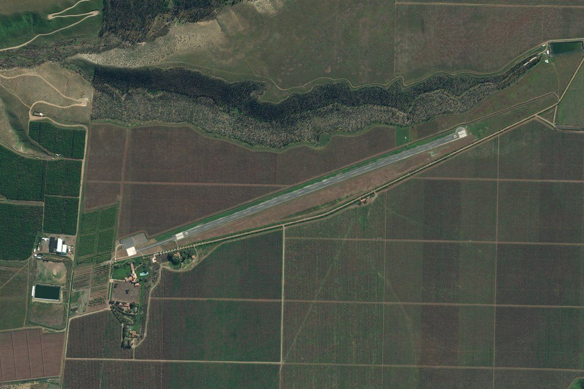
Rio Limari(POI36) to SCOT(SCOT)
Distance: 5.97NM Bearing: 121° 3 minutes
You should see the airstrip a few miles south of the river, next to a plantation
Leg 16
Flying from SCOT
Leg Distance: 38.42 Approximate time at 125kts: 18 minutes.
SCOT(SCOT) to Cerro Grande de Punitaqui(POI37)
Distance: 13.99NM Bearing: 147° 7 minutes
Head southeast in the direction of the lone mountain peak in the distance
Cerro Grande de Punitaqui(POI37) to Embalse Cogoti(POI38)
Distance: 12.1NM Bearing: 137° 6 minutes
Continue southeast to the small reservoir
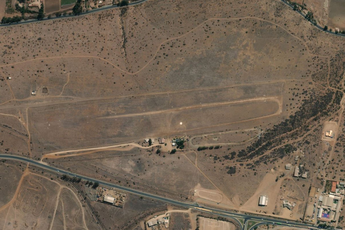
Embalse Cogoti(POI38) to SCCB(SCCB)
Distance: 12.33NM Bearing: 177° 6 minutes
Fly south from the reservoir to the small airfield which sits in a valley at the base of the two mountains that lie to the south
Leg 17
Flying from SCCB
Leg Distance: 36.08 Approximate time at 125kts: 17 minutes.
SCCB(SCCB) to Estero Valle Hermoso(POI39)
Distance: 5.12NM Bearing: 126° 2 minutes
Fly southeast along the small river valley to go around the hills to the south
Estero Valle Hermoso(POI39) to Rio Illapel(POI40)
Distance: 18.4NM Bearing: 183° 9 minutes
Fly south over the hills and cross the Illapel River valley
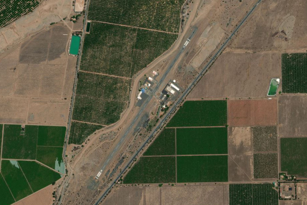
Rio Illapel(POI40) to SCXB(SCXB)
Distance: 12.56NM Bearing: 182° 6 minutes
Continue south over the hills to the larger valley of the Choapa River, and descend to the airport running alongside the river
Leg 18
Flying from SCXB
Leg Distance: 53.17 Approximate time at 125kts: 26 minutes.
SCXB(SCXB) to Estero Pupio(POI41)
Distance: 9.8NM Bearing: 179° 5 minutes
After takeoff, climb south over the hills to the small reservoir
Estero Pupio(POI41) to Caimanes(POI42)
Distance: 6.77NM Bearing: 263° 3 minutes
Turn and head west along the valley for a few miles to meet the road leading south
Caimanes(POI42) to Rio Quilimari(POI43)
Distance: 7.65NM Bearing: 191° 4 minutes
Follow the road south along the valley where it will meet the Quilimari River
Rio Quilimari(POI43) to Tunel Las Palmas(POI44)
Distance: 4.76NM Bearing: 178° 2 minutes
Continue south along the valley. The road will head through a tunnel under a small mountain pass
Tunel Las Palmas(POI44) to Rio Petorca(POI45)
Distance: 12NM Bearing: 155° 6 minutes
Continue south along the valley which will eventually meet the Petorca River
Rio Petorca(POI45) to La Ligua(POI46)
Distance: 7.11NM Bearing: 221° 3 minutes
Follow the Petorca River southwest until it reaches a U-turn, then continue southwest over the hills
La Ligua(POI46) to SCLQ(SCLQ)
Distance: 5.08NM Bearing: 262° 2 minutes
Once you cross over the mountain, turn west and head to the dirt airstrip just south of the river
Leg 19
Flying from SCLQ
Leg Distance: 54.07 Approximate time at 125kts: 26 minutes.
SCLQ(SCLQ) to Ruta 5(POI47)
Distance: 6.15NM Bearing: 184° 3 minutes
Head south and follow the highway along the valley
Ruta 5(POI47) to La Calera(POI48)
Distance: 13.84NM Bearing: 163° 7 minutes
The road will turn southeast over the small mountain range, then continue along the valley to the city of La Calera
La Calera(POI48) to Rio Aconcagua(POI49)
Distance: 6.18NM Bearing: 134° 3 minutes
Follow the highway southeast along the valley where it will cross the Aconcagua River
Rio Aconcagua(POI49) to Los Loros(POI50)
Distance: 11.34NM Bearing: 92° 5 minutes
Follow the highway east, where it will leave the river and head towards the mountains
Los Loros(POI50) to Ruta 5(POI51)
Distance: 4.63NM Bearing: 136° 2 minutes
Follow the highway southeast into the mountains
Ruta 5(POI51) to Ruta 57(POI52)
Distance: 8.22NM Bearing: 129° 4 minutes
As the road curves away to the south, leave it and continue southeast over the mountains to meet another highway heading south
Ruta 57(POI52) to SCVH(SCVH)
Distance: 3.71NM Bearing: 198° 2 minutes
As the highway moves south to flat land, you should see the small airfield on the western side of the smaller highway after the junction
Leg 20
Flying from SCVH
Leg Distance: 38.2 Approximate time at 125kts: 18 minutes.
SCVH(SCVH) to Ruta 5(POI53)
Distance: 7.67NM Bearing: 214° 4 minutes
Head southwest to once again meet Route 5
Ruta 5(POI53) to Santiago(POI54)
Distance: 17.94NM Bearing: 157° 9 minutes
Follow Route 5 as it leads you to downtown Santiago, Chile's capital city and home to 6 million people
Santiago(POI54) to Cerro San Cristobal(POI55)
Distance: 1.6NM Bearing: 95° 1 minutes
Follow the Mapocho River and the highway east between the city and Cerro San Cristobal, a popular attraction and mountain lookout
Cerro San Cristobal(POI55) to Rio Mapocho(POI56)
Distance: 2.86NM Bearing: 26° 1 minutes
Continue following the highway and the Mapocho River around to the northeast, passing the second tallest building in Latin America, the Gran Torre Santiago
Rio Mapocho(POI56) to Cerro Alvarado(POI57)
Distance: 3.32NM Bearing: 75° 2 minutes
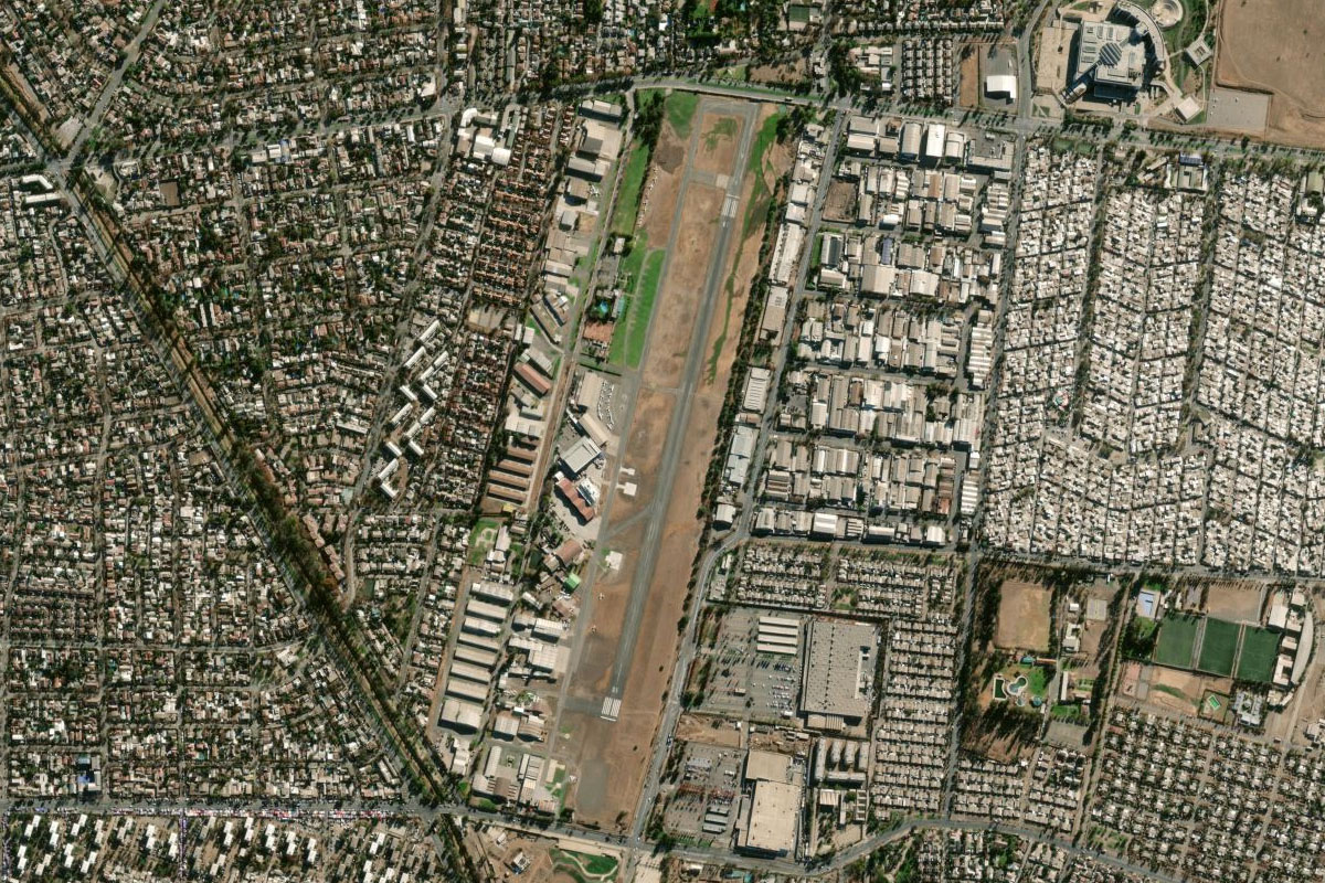
Continue east following the river. After passing the small aerodrome and the golf course, turn south
Cerro Alvarado(POI57) to SCTB(SCTB)
Distance: 4.81NM Bearing: 186° 2 minutes
Head south to the airfield in the city's eastern suburbs, and the destination for this stage