From Rio de Janeiro, this tour will head along the coast of Brazil before heading inland across the center of the state of Minas Gerais. An area once popular for mining, the hilly farmlands of the state are now the country’s largest producer of coffee and milk. You’ll have a close-up look at the mountains of Serra do Gandarela National Park on the way to the state’s capital, Belo Horizonte, before continuing northwest to the country’s capital and third largest city, Brasília
Total Legs: 16 Total Distance: 841 Total Time(125kts): 6 hours 43 minutes
Leg 1
Flying from SBRJ
Leg Distance: 69.24 Approximate time at 125kts: 33 minutes.
SBRJ(SBRJ) to Ponte Rio-Niteroi(POI1)
Distance: 11.43NM Bearing: 15° 5 minutes
After takeoff, head north over the Rio-Niterói Bridge, one of the world's longest, then continue to the north shore of Guanabara Bay
Ponte Rio-Niteroi(POI1) to Guapimirim(POI2)
Distance: 14.9NM Bearing: 72° 7 minutes
Once you reach the shore, turn northeast and follow the highway heading towards the mountains
Guapimirim(POI2) to Parque Nacional da Serra dos Orgaos(POI3)
Distance: 8.86NM Bearing: 35° 4 minutes
Follow the highway northeast past Serra dos Órgãos National Park. It protects an area of Atlantic Forest and is known for its rock formations such as Bell Rock (it's highest peak) and God's finger
Parque Nacional da Serra dos Orgaos(POI3) to Nogueira(POI4)
Distance: 10.26NM Bearing: 288° 5 minutes
When you reach the large town of Teresopolis north of the national park, head west over the mountains to the next valley
Nogueira(POI4) to Piabeta(POI5)
Distance: 11.95NM Bearing: 221° 6 minutes
Head south along the valley with the small river to clear the mountains
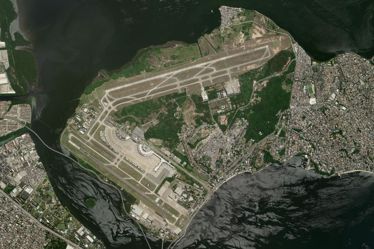
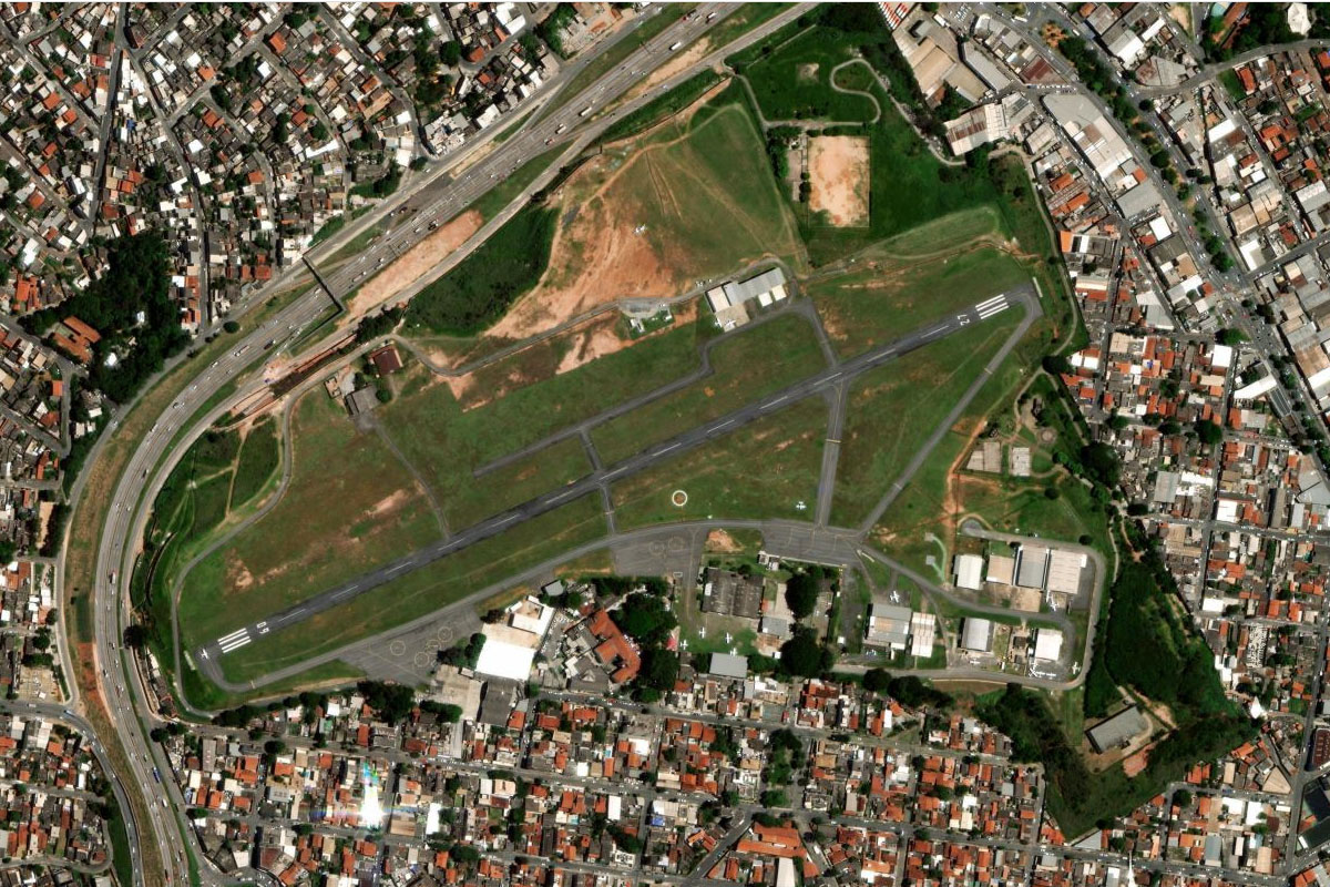
Piabeta(POI5) to SBGL(SBGL)
Distance: 11.84NM Bearing: 216° 6 minutes
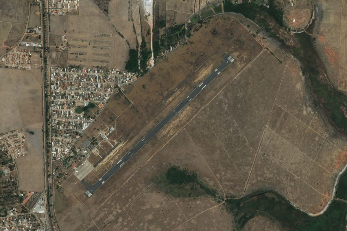
Continue south to Rio's main airport, Galeão International Airport
Leg 2
Flying from SBGL
Leg Distance: 46.48 Approximate time at 125kts: 22 minutes.
SBGL(SBGL) to Rio de Janiero(POI6)
Distance: 6.85NM Bearing: 178° 3 minutes
After takeoff, head south to over fly the city
Rio de Janiero(POI6) to Fortaleza de Santa Cruz da Barra(POI7)
Distance: 3.75NM Bearing: 137° 2 minutes
Head southeast past the fortress to exit the bay
Fortaleza de Santa Cruz da Barra(POI7) to Morro das Andorinhas(POI8)
Distance: 5.42NM Bearing: 143° 3 minutes
Continue southeast along the coast towards the large rock formations of Costão de Itacoatiara and Pedra do Elefante
Morro das Andorinhas(POI8) to Ponta Negra(POI9)
Distance: 20.21NM Bearing: 110° 10 minutes
Follow the coast east past the long Itaipuaçu and Barra em Maricá Beaches, and the nearby lagoons
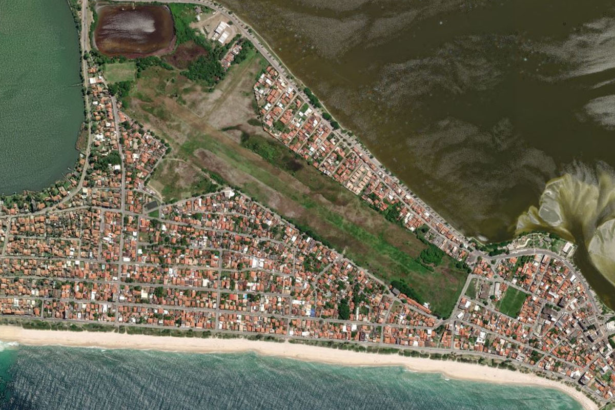
Ponta Negra(POI9) to SDSK(SDSK)
Distance: 10.25NM Bearing: 102° 5 minutes
Continue east to Saquarema Airport, which lies between the coast and Saquarema Lagoon
Leg 3
Flying from SDSK
Leg Distance: 40.32 Approximate time at 125kts: 19 minutes.
SDSK(SDSK) to Lagoa de Araruama(POI10)
Distance: 24.64NM Bearing: 103° 12 minutes
Fly east along the large Araruama Lagoon
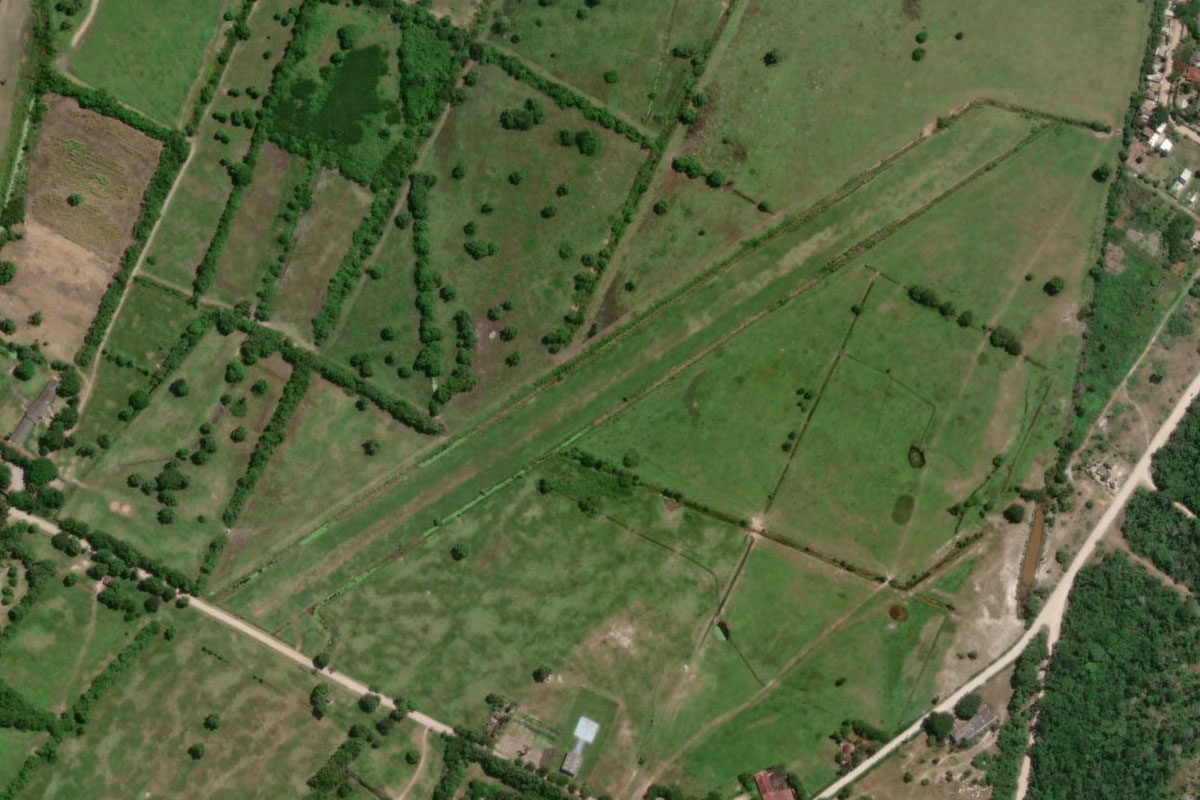
Lagoa de Araruama(POI10) to SSTY(SSTY)
Distance: 15.68NM Bearing: 32° 8 minutes
From the eastern end of the lagoon, head northeast in the direction of the lone mountain in the distance. The airport is south of the mountain, just to the north of a small lake
Leg 4
Flying from SSTY
Leg Distance: 67.66 Approximate time at 125kts: 32 minutes.
SSTY(SSTY) to Macae(POI11)
Distance: 19.1NM Bearing: 70° 9 minutes
After takeoff, continue northeast along the coast, passing the large town of Macaé
Macae(POI11) to Lagoa Feia(POI12)
Distance: 31.52NM Bearing: 61° 15 minutes
From the town, head northeast across land to the large Feia Lagoon
Lagoa Feia(POI12) to SBCP(SBCP)
Distance: 17.04NM Bearing: 47° 8 minutes
Continue northeast to the city of Campos, and the airport on the north side
Leg 5
Flying from SBCP
Leg Distance: 55.35 Approximate time at 125kts: 27 minutes.
SBCP(SBCP) to Morro do Coco(POI13)
Distance: 20.35NM Bearing: 12° 10 minutes
Follow the highway north to the domed peak of Morro do Coco
Morro do Coco(POI13) to Italva(POI14)
Distance: 16.96NM Bearing: 280° 8 minutes
Head west from the group of peaks to the town of Italva on the Muriaé River
Italva(POI14) to Are(POI15)
Distance: 12.28NM Bearing: 354° 6 minutes
Follow the river north
Are(POI15) to SDUN(SDUN)
Distance: 5.76NM Bearing: 318° 3 minutes
The river will lead you northwest to the town of Itaperuna, and the airport at the town's eastern edge
Leg 6
Flying from SDUN
Leg Distance: 63.89 Approximate time at 125kts: 31 minutes.
SDUN(SDUN) to Muriae(POI16)
Distance: 28.74NM Bearing: 305° 14 minutes
After takeoff, keep following the river and highway northwest
Muriae(POI16) to Pirapenema(POI17)
Distance: 7.93NM Bearing: 319° 4 minutes
From the town of Muriaé, follow the road leading past the airport and northwest into the hills
Pirapenema(POI17) to Santo Antonio da Ventania(POI18)
Distance: 8.7NM Bearing: 346° 4 minutes
Keep following the highway as it winds its way northwest over the hills
Santo Antonio da Ventania(POI18) to SNVC(SNVC)
Distance: 18.52NM Bearing: 337° 9 minutes
After the road passes through the mountains, head northwest to the town of Viçosa. The airport is just northeast of the town, next to the highway
Leg 7
Flying from SNVC
Leg Distance: 21.47 Approximate time at 125kts: 10 minutes.
SNVC(SNVC) to Ponte Nova(POI19)
Distance: 19.94NM Bearing: 15° 10 minutes
Head north across the hills to the town of Ponte Nova
Ponte Nova(POI19) to SNCZ(SNCZ)
Distance: 1.53NM Bearing: 324° 1 minutes
The hilltop airport at Ponte Nova is on the northwestern edge of town
Leg 8
Flying from SNCZ
Leg Distance: 67.57 Approximate time at 125kts: 32 minutes.
SNCZ(SNCZ) to Serra do Caraca(POI20)
Distance: 35.09NM Bearing: 324° 17 minutes
Fly northeast to the Espinhaço Mountains, home of the Serra do Gandarela National Park and an important ecological area of Atlantic Forest
Serra do Caraca(POI20) to Belo Horizonte(POI21)
Distance: 29.34NM Bearing: 314° 14 minutes
Continue northwest over the mountains to Belo Horizonte, the capital city of southeastern Brazil’s Minas Gerais state
Belo Horizonte(POI21) to SBPR(SBPR)
Distance: 3.14NM Bearing: 317° 2 minutes
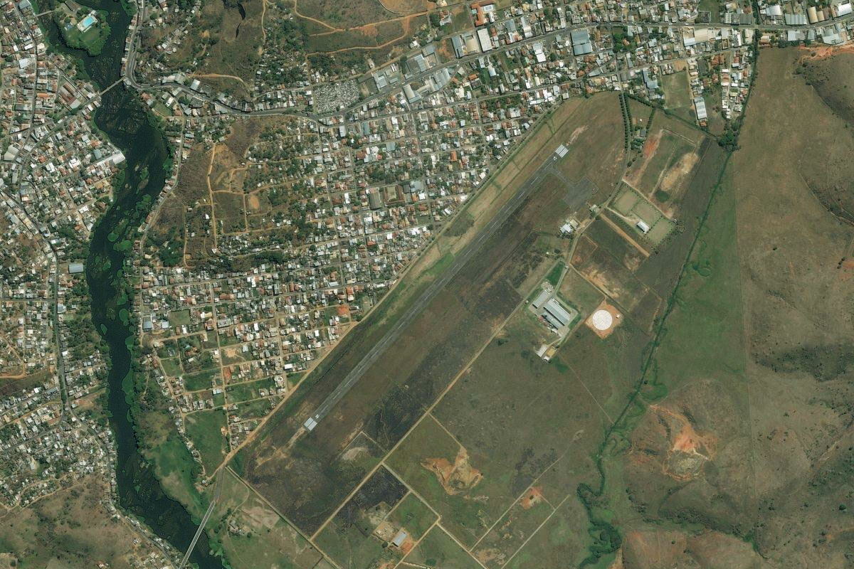
The general aviation airport of Carlos Prates is just west of the city center
Leg 9
Flying from SBPR
Leg Distance: 49.49 Approximate time at 125kts: 24 minutes.
SBPR(SBPR) to BR-040(POI22)
Distance: 3.84NM Bearing: 318° 2 minutes
After takeoff, fly northwest over the industrial area on the outskirts of the city to meet highway 40 heading northwest
BR-040(POI22) to Sete Lagoas(POI23)
Distance: 27.47NM Bearing: 354° 13 minutes
Follow the highway north, passing an area of mines and the exit to the city of Sete Lagoas. This major highway links Rio de Janeiro with the nation's capital, Brasilia
Sete Lagoas(POI23) to Paraopeba(POI24)
Distance: 13.61NM Bearing: 355° 7 minutes
Continue north to the next major town, Paraopeba
Paraopeba(POI24) to SWZT(SWZT)
Distance: 4.57NM Bearing: 313° 2 minutes
The airport is a few miles northwest of the town
Leg 10
Flying from SWZT
Leg Distance: 52.24 Approximate time at 125kts: 25 minutes.
SWZT(SWZT) to BR-040(POI25)
Distance: 8NM Bearing: 342° 4 minutes
After takeoff, head northwest to meet the power line clearing and follow it north until you reach the highway
BR-040(POI25) to Felixlandia(POI26)
Distance: 30.86NM Bearing: 349° 15 minutes
Follow the highway northwest/north as it runs alongside the Paraopeba River towards the town of Felixlândia
Felixlandia(POI26) to SNTT(SNTT)
Distance: 13.38NM Bearing: 286° 6 minutes
As the highway turns around the north of the town, head west to the airport near the edge of the reservoir
Leg 11
Flying from SNTT
Leg Distance: 38.88 Approximate time at 125kts: 19 minutes.
SNTT(SNTT) to Represa de Tres Marias(POI27)
Distance: 6.41NM Bearing: 324° 3 minutes
After takeoff, head northwest to the reservoir
Represa de Tres Marias(POI27) to Tres Marias(POI28)
Distance: 28.35NM Bearing: 16° 14 minutes
Head to the northern end of the reservoir, at the town of Três Marias
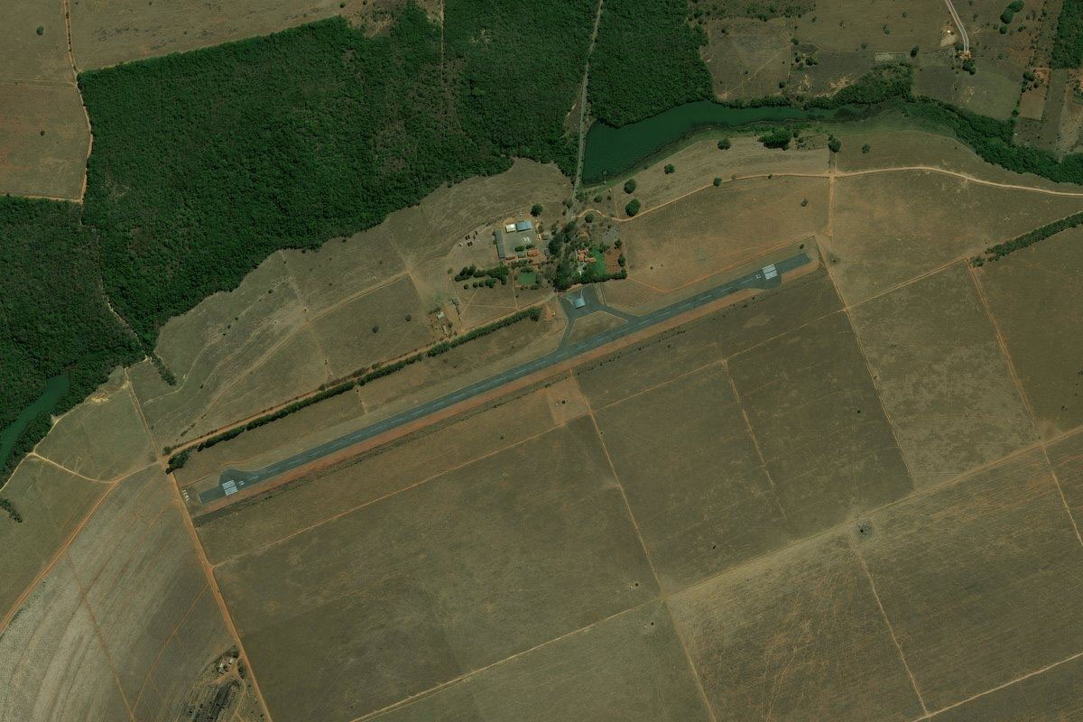
Tres Marias(POI28) to SNAS(SNAS)
Distance: 4.12NM Bearing: 105° 2 minutes
The airport is a couple of miles southwest of the town
Leg 12
Flying from SNAS
Leg Distance: 65.99 Approximate time at 125kts: 32 minutes.
SNAS(SNAS) to Luizlandia do Oeste(POI29)
Distance: 30.81NM Bearing: 324° 15 minutes
Fly northwest over the town and follow the highway northwest
Luizlandia do Oeste(POI29) to BR-040(POI30)
Distance: 12.7NM Bearing: 281° 6 minutes
Keep following the highway west
BR-040(POI30) to BR-040(POI31)
Distance: 15.93NM Bearing: 317° 8 minutes
The highway will turn back to the northwest
BR-040(POI31) to SNJP(SNJP)
Distance: 6.55NM Bearing: 25° 3 minutes
After a straight section of highway heading north, you'll see the airport to the right
Leg 13
Flying from SNJP
Leg Distance: 56.76 Approximate time at 125kts: 27 minutes.
SNJP(SNJP) to Joao Pinheiro(POI32)
Distance: 21.13NM Bearing: 317° 10 minutes
Head northwest over João Pinheiro, then continue northwest along the highway
Joao Pinheiro(POI32) to Paracatu(POI33)
Distance: 30.9NM Bearing: 343° 15 minutes
Continue along the highway to the town of Paracatu
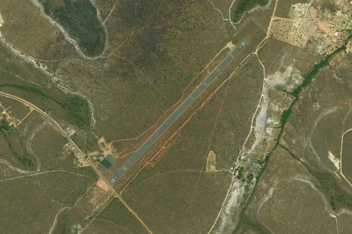
Paracatu(POI33) to SNZR(SNZR)
Distance: 4.73NM Bearing: 293° 2 minutes
As the highway turns west to the town, head to the airport at the town's southern edge
Leg 14
Flying from SNZR
Leg Distance: 47.51 Approximate time at 125kts: 23 minutes.
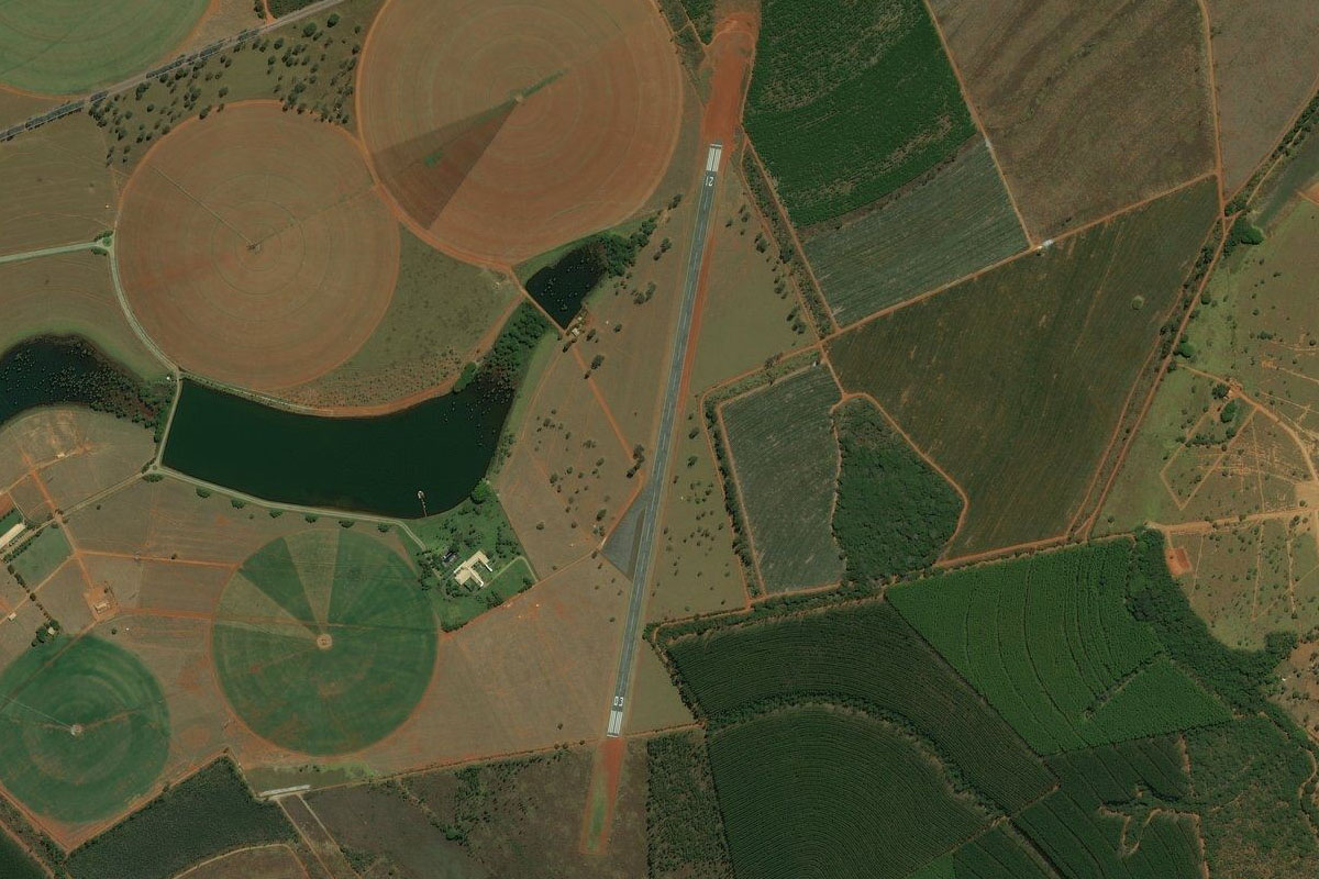
SNZR(SNZR) to Rio Sao Marcos(POI34)
Distance: 20.26NM Bearing: 331° 10 minutes
Head north to meet the highway, then follow it northwest until it crosses the São Marcos River, just after passing a large substation
Rio Sao Marcos(POI34) to Rio Sao Marcos(POI35)
Distance: 3.82NM Bearing: 39° 2 minutes
Follow the river briefly northeast, where it will soon narrow
Rio Sao Marcos(POI35) to Rio Sao Marcos(POI36)
Distance: 20.41NM Bearing: 1° 10 minutes
Follow the river north
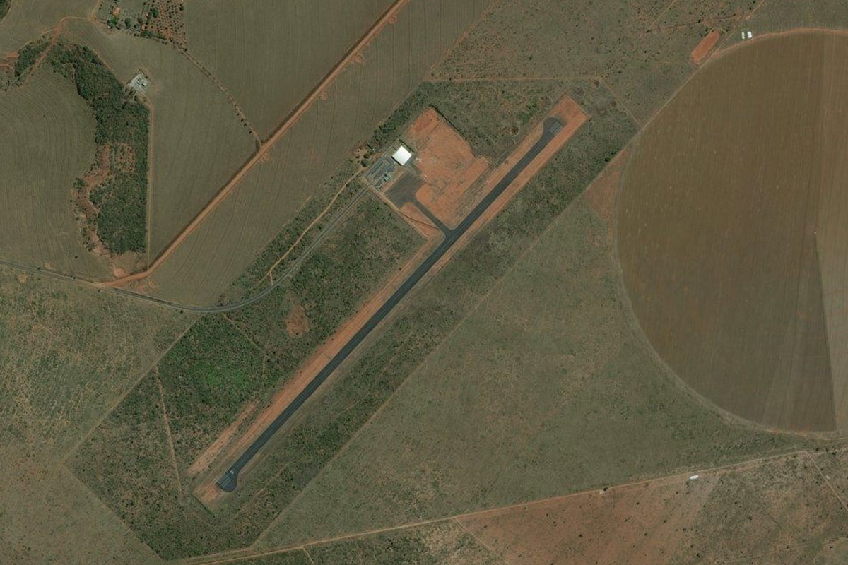
Rio Sao Marcos(POI36) to SNYI(SNYI)
Distance: 3.02NM Bearing: 348° 1 minutes
Keep an eye out for the airstrip on the right side of the river, in amongst the circular crop fields
Leg 15
Flying from SNYI
Leg Distance: 46.72 Approximate time at 125kts: 22 minutes.
SNYI(SNYI) to BR-040(POI37)
Distance: 33.61NM Bearing: 317° 16 minutes
After takeoff, fly northwest across the farmland. You will pass some small farm dams and a northbound highway before meeting up with highway 40 also heading north
BR-040(POI37) to Luziania(POI38)
Distance: 9.41NM Bearing: 353° 5 minutes
Follow the highway north to the large town of Luziania
Luziania(POI38) to SWUZ(SWUZ)
Distance: 3.7NM Bearing: 276° 2 minutes
The airport is west of the town
Leg 16
Flying from SWUZ
Leg Distance: 51.51 Approximate time at 125kts: 25 minutes.
SWUZ(SWUZ) to Novo Gama(POI39)
Distance: 10.61NM Bearing: 16° 5 minutes
Head north to meet the highway
Novo Gama(POI39) to Park way(POI40)
Distance: 7.97NM Bearing: 19° 4 minutes
Follow the highway north to the outskirts of Brasilia
Park way(POI40) to Brasilia(POI41)
Distance: 14.53NM Bearing: 42° 7 minutes
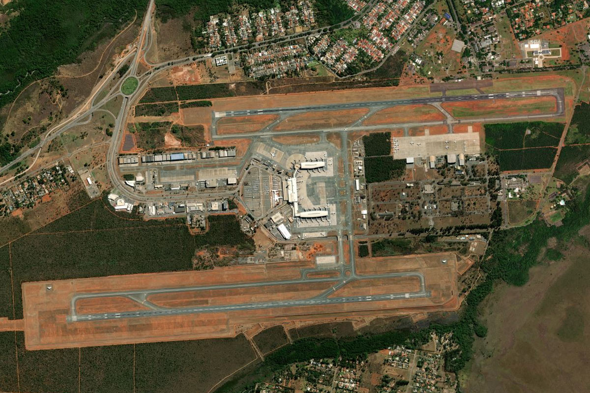
Follow the highway northeast past the main airport and the city
Brasilia(POI41) to Lago Paranoa(POI42)
Distance: 1.73NM Bearing: 126° 1 minutes
Once you are north of the city, turn southeast to Paranoá Lake. This lake was dammed and formed when the city was constructed
Lago Paranoa(POI42) to Lago Paranoa(POI43)
Distance: 5.6NM Bearing: 165° 3 minutes
Follow the lake as it curves around to the south towards the golf course, where you will turn right
Lago Paranoa(POI43) to Eixo Monumental(POI44)
Distance: 5.76NM Bearing: 307° 3 minutes
From the golf course, head northwest along the city's main central avenue, known as the Monumental Axis. Along here are many ministry buildings, monuments, memorials, and the iconic Metropolitan Cathedral
Eixo Monumental(POI44) to SBBR(SBBR)
Distance: 5.31NM Bearing: 203° 3 minutes
Once you pass Mané Garrincha Stadium and Nelson Piquet Motor Racing Circuit to your right, turn south and head to the International Airport, and the destination for this stage of the trip