This stage kicks off in Cusco, before heading northwest through Peru as you finally leave the Andes Mountains for the vast Amazon Basin. Journeying north along the Ucayali River, you will eventually join the Maranon River at the point which marks the head of the mighty Amazon River, and the beginning of a marathon trip along the world’s second longest river, and the largest by water volume.
Total Legs: 17 Total Distance: 1011 Total Time(125kts): 8 hours 5 minutes
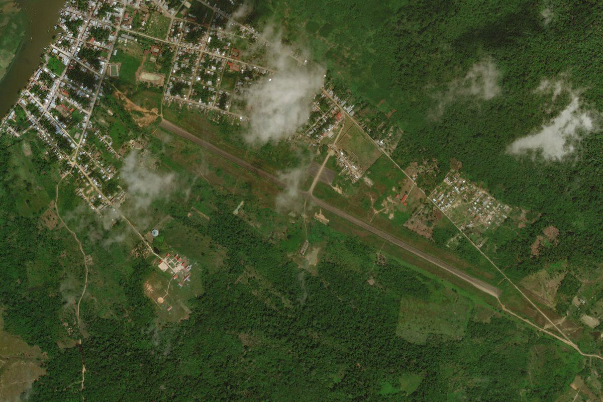
Leg 1
Flying from SPZO
Leg Distance: 128.27 Approximate time at 125kts: 62 minutes.
SPZO(SPZO) to Anta(POI1)
Distance: 13.28NM Bearing: 297° 6 minutes
After takeoff, follow the main highway northwest to the valley
Anta(POI1) to Ancahuasi(POI2)
Distance: 12.57NM Bearing: 283° 6 minutes
When the valley opens out, head west over the flat land before following the highway to a mountain pass
Ancahuasi(POI2) to Rio Apurimac(POI3)
Distance: 12.71NM Bearing: 244° 6 minutes
Follow the road southwest into the valley, and the start of the long downhill journey out of the mountains
Rio Apurimac(POI3) to Rio Apurimac(POI4)
Distance: 24.67NM Bearing: 302° 12 minutes
As the road meets the Apurimac River before heading west, follow the Apurimac River as it heads northwest into a steep valley
Rio Apurimac(POI4) to Rio Apurimac(POI5)
Distance: 15.59NM Bearing: 261° 7 minutes
Stay with the Apurimac River as the valley turns around to the west
Rio Apurimac(POI5) to Villa Virgen(POI6)
Distance: 33.34NM Bearing: 331° 16 minutes
As the valley opens out to an intersection of other valleys populated by mountainside switchback roads, turn northwest and follow the Apurimac through another valley
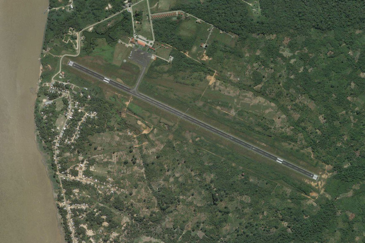
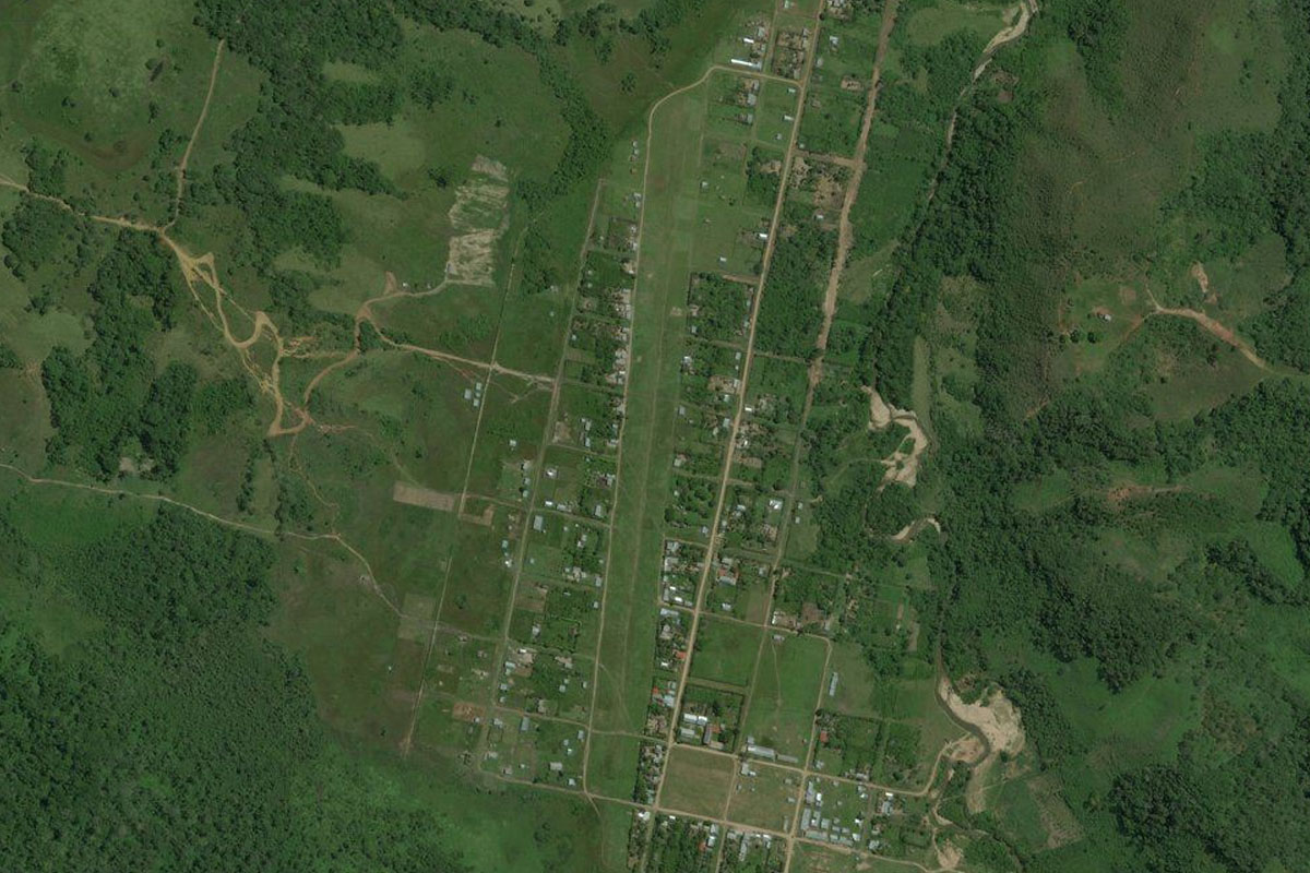
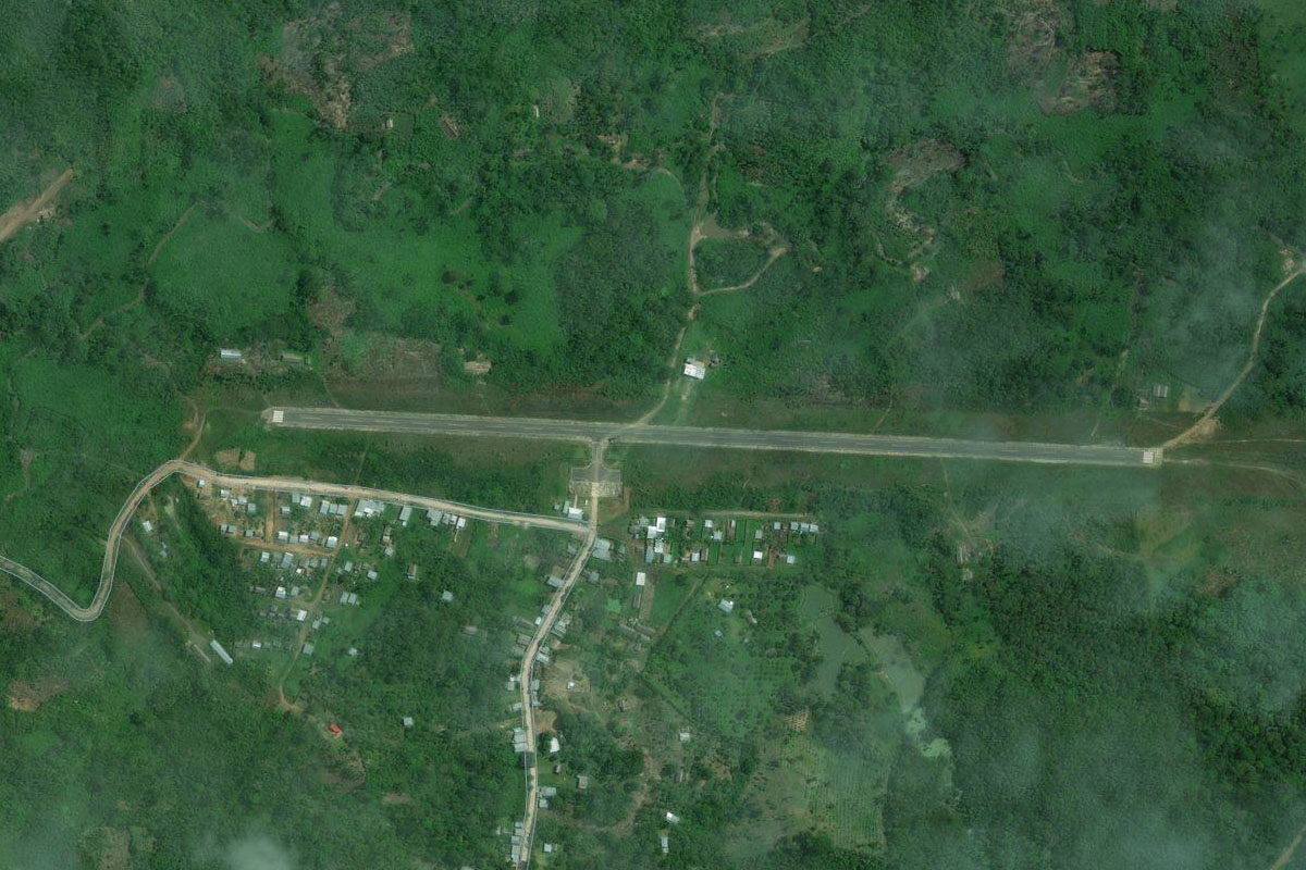
Villa Virgen(POI6) to SPPE(SPPE)
Distance: 16.11NM Bearing: 336° 8 minutes
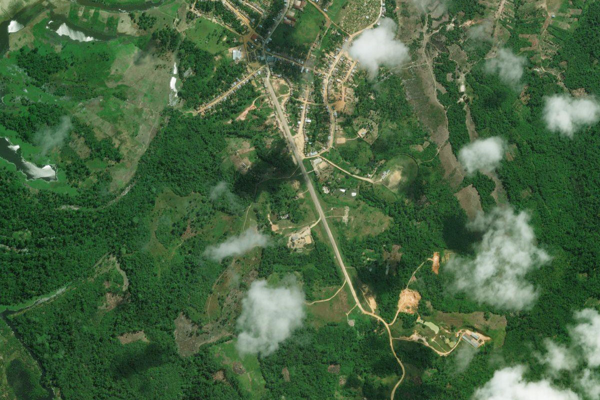
Continuing northwest as the valley flattens out, look for the sealed runway next to the small town of Chontabamba on the left side of the river
Leg 2
Flying from SPPE
Leg Distance: 19.51 Approximate time at 125kts: 9 minutes.
SPPE(SPPE) to Rio Apurimac(POI7)
Distance: 8.41NM Bearing: 325° 4 minutes
After takeoff, follow the river northwest
Rio Apurimac(POI7) to SP3P(SP3P)
Distance: 11.1NM Bearing: 332° 5 minutes
After passing the larger town of Pichari on the river's right side, you will see the dirt airstrip next to the river just north of the town
Leg 3
Flying from SP3P
Leg Distance: 81.42 Approximate time at 125kts: 39 minutes.
SP3P(SP3P) to Rio Ene(POI8)
Distance: 16.34NM Bearing: 338° 8 minutes
Continue northwest along the Apurimac River to where it meets the Mantaro River to form the Ene River
Rio Ene(POI8) to Rio Ene(POI9)
Distance: 10.97NM Bearing: 334° 5 minutes
Follow the Ene River northwest
Rio Ene(POI9) to Rio Sonomoro(POI10)
Distance: 34.78NM Bearing: 334° 17 minutes
When the river turns to the east, continue northwest over the foothills until you eventually reach a wide valley full of farmland
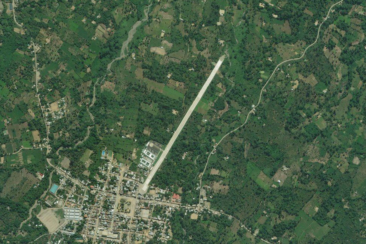
Rio Sonomoro(POI10) to SPMF(SPMF)
Distance: 19.33NM Bearing: 339° 9 minutes
Continue northwest along the valley to the large town of San Martin de Pangoa. Follow the main road northwest to the next town of Mazamari and the airport of the western edge of the town
Leg 4
Flying from SPMF
Leg Distance: 45.89 Approximate time at 125kts: 22 minutes.
SPMF(SPMF) to Ocopa(POI11)
Distance: 17.46NM Bearing: 58° 8 minutes
Turn right after takeoff and follow the Mazamari River valley northeast to the town of Ocopa at the junction with the Perene River
Ocopa(POI11) to Rio Tambo(POI12)
Distance: 4NM Bearing: 108° 2 minutes
Follow the river east for a few miles to meet the Tambo River
Rio Tambo(POI12) to SPBT(SPBT)
Distance: 24.43NM Bearing: 8° 12 minutes
When you reach the Tambo River, climb and head north to fly alongside the ridge before arriving at the town of Oteveni, with the grass airfield next to the town
Leg 5
Flying from SPBT
Leg Distance: 51.11 Approximate time at 125kts: 25 minutes.
SPBT(SPBT) to Rio Ucayali(POI13)
Distance: 20.31NM Bearing: 47° 10 minutes
After takeoff, head northwest over the mountains, before descending out of the Andes for the last time and into the vast Amazon basin
Rio Ucayali(POI13) to Rio Ucayali(POI14)
Distance: 25.97NM Bearing: 4° 12 minutes
Once you reach the Ucayali River, follow it north
Rio Ucayali(POI14) to SP3B(SP3B)
Distance: 4.83NM Bearing: 70° 2 minutes
The first town you will meet along the river will be Bolognesi, just east of the river. The airport runs alongside the road east of the town
Leg 6
Flying from SP3B
Leg Distance: 47.24 Approximate time at 125kts: 23 minutes.
SP3B(SP3B) to Rio Ucayali(POI15)
Distance: 10.06NM Bearing: 335° 5 minutes
After takeoff, head northwest back to the river
Rio Ucayali(POI15) to Rio Ucayali(POI16)
Distance: 28.77NM Bearing: 341° 14 minutes
Continue northwest along the river
Rio Ucayali(POI16) to SP3I(SP3I)
Distance: 8.41NM Bearing: 272° 4 minutes
When you reach a series of switchbacks in the river, head west to a small airfield which sits in a village alongside a small river
Leg 7
Flying from SP3I
Leg Distance: 66.78 Approximate time at 125kts: 32 minutes.
SP3I(SP3I) to Rio Ucayali(POI17)
Distance: 40.77NM Bearing: 351° 20 minutes
Head north to the Ucayali River and continue the journey north
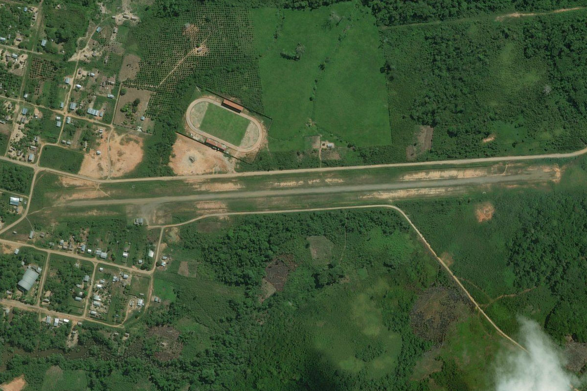
Rio Ucayali(POI17) to Pucallpa(POI18)
Distance: 22.66NM Bearing: 2° 11 minutes
As the river turns to the east, continue north to the regional capital city of Pucallpa
Pucallpa(POI18) to SPCL(SPCL)
Distance: 3.35NM Bearing: 21° 2 minutes
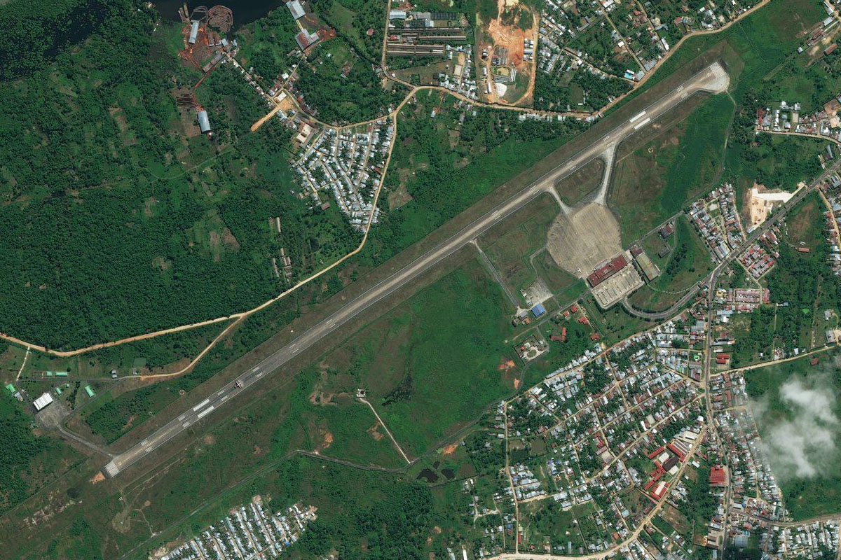
The airport sits prominently in the northern part of the city
Leg 8
Flying from SPCL
Leg Distance: 68.68 Approximate time at 125kts: 33 minutes.
SPCL(SPCL) to Rio Ucayali(POI19)
Distance: 11.06NM Bearing: 4° 5 minutes
After takeoff, head north to rejoin the river
Rio Ucayali(POI19) to Contamana(POI20)
Distance: 54.46NM Bearing: 339° 26 minutes
Follow the river northwest to the town of Contamana on the river's right bank
Contamana(POI20) to SPCM(SPCM)
Distance: 3.16NM Bearing: 16° 2 minutes
The airport is just northeast of the town
Leg 9
Flying from SPCM
Leg Distance: 28.05 Approximate time at 125kts: 13 minutes.
SPCM(SPCM) to Rio Ucayali(POI21)
Distance: 19.18NM Bearing: 346° 9 minutes
Head northwest from Contamana and fly alongside a small mountain ridge which will lead you back to the river
Rio Ucayali(POI21) to SPON(SPON)
Distance: 8.87NM Bearing: 345° 4 minutes
Continue northwest along the river to the next town, Orellana. The airfield is at the north end of town
Leg 10
Flying from SPON
Leg Distance: 62.95 Approximate time at 125kts: 30 minutes.
SPON(SPON) to Rio Ucayali(POI22)
Distance: 41.71NM Bearing: 4° 20 minutes
Fly north alongside the Ucayali River
Rio Ucayali(POI22) to Painaco(POI23)
Distance: 19.5NM Bearing: 72° 9 minutes
Follow the river around to the northeast
Painaco(POI23) to SP3J(SP3J)
Distance: 1.74NM Bearing: 63° 1 minutes
At the point where the river divides in two, there is a small village on the right bank with a suitable landing area just to its north
Leg 11
Flying from SP3J
Leg Distance: 51.54 Approximate time at 125kts: 25 minutes.
SP3J(SP3J) to Rio Ucayali(POI24)
Distance: 48.51NM Bearing: 64° 23 minutes
Follow the southern / right hand fork of the river as it twists its way northeast
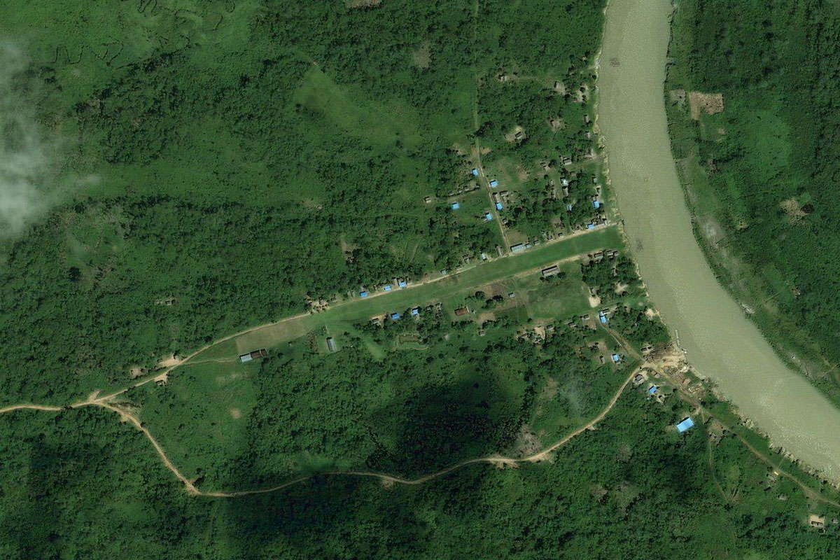
Rio Ucayali(POI24) to SP3S(SP3S)
Distance: 3.03NM Bearing: 32° 1 minutes
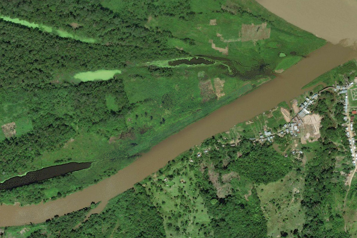
Where the river turns to the north, there will be a couple of small towns running along the riverbank. Just to the east there is a small grass landing area next to the river
Leg 12
Flying from SP3S
Leg Distance: 41.13 Approximate time at 125kts: 20 minutes.
SP3S(SP3S) to Rio Ucayali(POI25)
Distance: 24.85NM Bearing: 12° 12 minutes
Follow the river north to where it rejoins the other fork
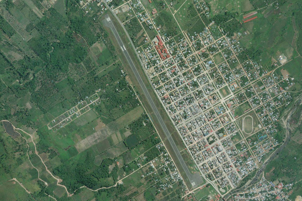
Rio Ucayali(POI25) to SPQN(SPQN)
Distance: 16.28NM Bearing: 80° 8 minutes
Follow the river east to the town of Requena on the south bank, and the runway at the south end of town
Leg 13
Flying from SPQN
Leg Distance: 86.92 Approximate time at 125kts: 42 minutes.
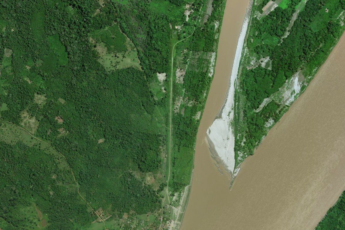
SPQN(SPQN) to Rio Amazonas(POI26)
Distance: 45.16NM Bearing: 40° 22 minutes
Follow the river north to its junction with the Maranon River, which at this point marks the head of the mighty Amazon River
Rio Amazonas(POI26) to Iquitos(POI27)
Distance: 33.04NM Bearing: 27° 16 minutes
Continue northeast with the Amazon River until you see the city of Iquitos to the north – the largest city in the world that cannot be reached by road
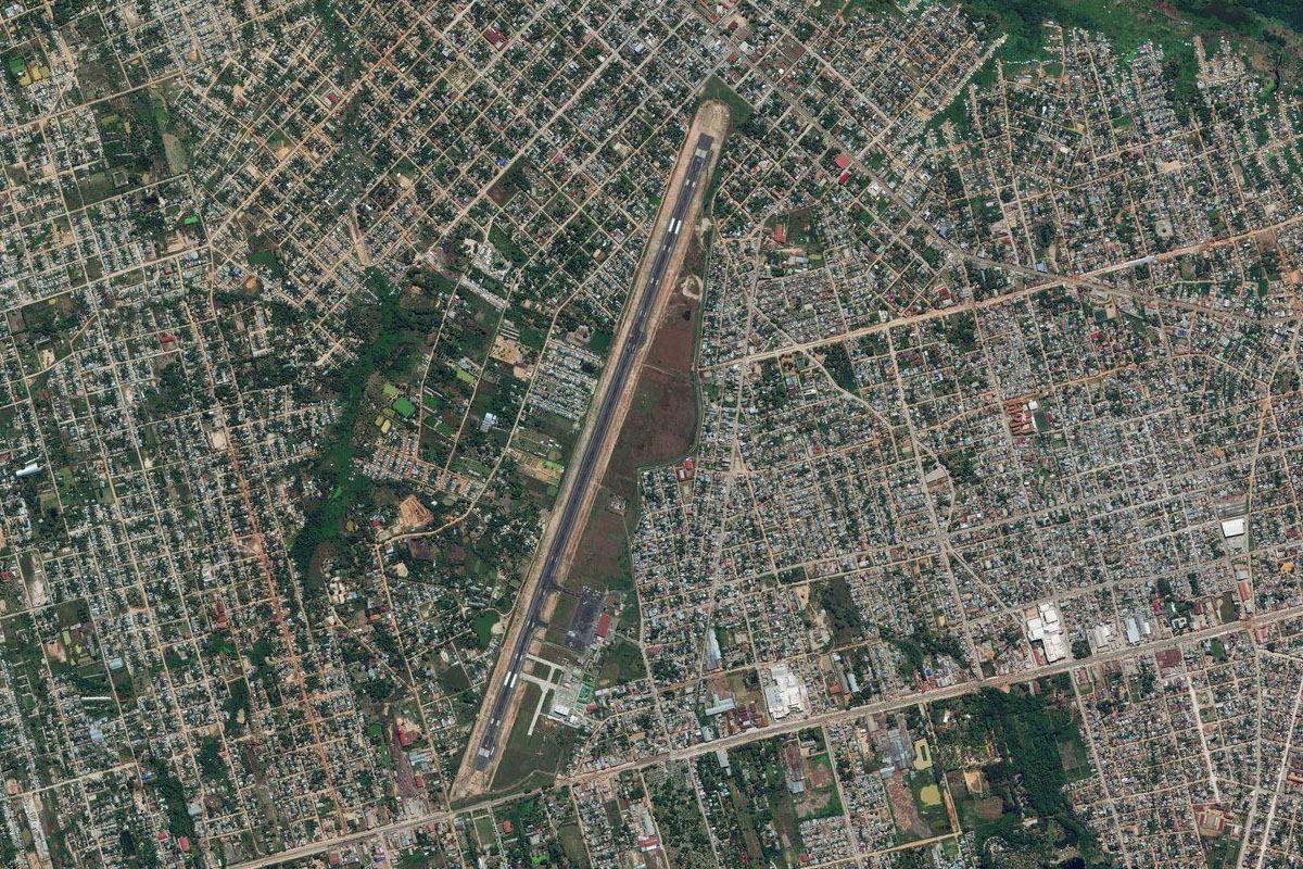
Iquitos(POI27) to SPQT(SPQT)
Distance: 8.72NM Bearing: 352° 4 minutes
As the southern end of the city is the International Airport
Leg 14
Flying from SPQT
Leg Distance: 82.64 Approximate time at 125kts: 40 minutes.
SPQT(SPQT) to Iquitos(POI28)
Distance: 24.24NM Bearing: 52° 12 minutes
After takeoff, head northeast over the city then continue northeast along the river
Iquitos(POI28) to Rio Amazonas(POI29)
Distance: 44.99NM Bearing: 101° 22 minutes
Continue east along the river
Rio Amazonas(POI29) to SP3H(SP3H)
Distance: 13.41NM Bearing: 87° 6 minutes
On the southern side of one of the many islands created by branches of the river is the small community of Huanta. Just across from the village, on the western shore of the Oraza River, is a small grass landing area
Leg 15
Flying from SP3H
Leg Distance: 35.41 Approximate time at 125kts: 17 minutes.
SP3H(SP3H) to Rio Amazonas(POI30)
Distance: 20.32NM Bearing: 129° 10 minutes
Fly southeast across the jungle to meet up with the river as it heads south
Rio Amazonas(POI30) to Rio Amazonas(POI31)
Distance: 11.87NM Bearing: 133° 6 minutes
Continue southeast along the river
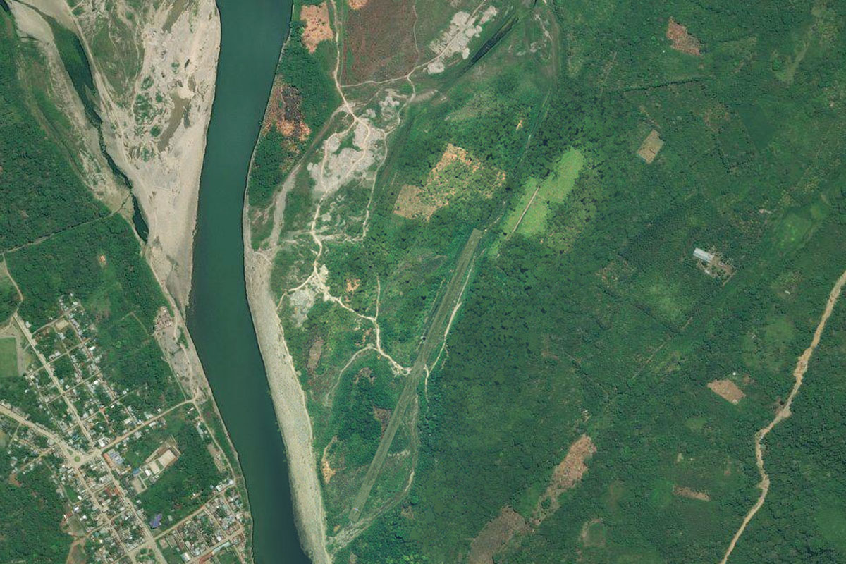
Rio Amazonas(POI31) to SP3A(SP3A)
Distance: 3.22NM Bearing: 202° 2 minutes
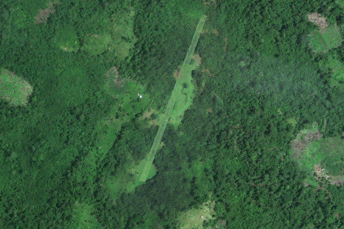
When you reach a small island near the mouth of a small river on the south bank, turn south and head to the airstrip cut into the jungle, a few miles south of the river
Leg 16
Flying from SP3A
Leg Distance: 70.37 Approximate time at 125kts: 34 minutes.
SP3A(SP3A) to Rio Amazonas(POI32)
Distance: 31.87NM Bearing: 119° 15 minutes
After takeoff, head back to the river and continue east
Rio Amazonas(POI32) to Caballococha(POI33)
Distance: 33.27NM Bearing: 87° 16 minutes
Continue east along the river until you see the town of Caballococha on the south bank
Caballococha(POI33) to SPBC(SPBC)
Distance: 5.23NM Bearing: 136° 3 minutes
The airport is next to the town
Leg 17
Flying from SPBC
Leg Distance: 43.26 Approximate time at 125kts: 21 minutes.
SPBC(SPBC) to Rio Amazonas(POI34)
Distance: 15.09NM Bearing: 93° 7 minutes
Fly east to once again meet up with the river
Rio Amazonas(POI34) to Leticia-Tabatinga(POI35)
Distance: 25.58NM Bearing: 150° 12 minutes
Continue southeast with the river to the dual-cities of Leticia and Tabatinga, which lie on the 3 way border between Peru, Colombia and Brazil
Leticia-Tabatinga(POI35) to SBTT(SBTT)
Distance: 2.59NM Bearing: 139° 1 minutes
Head to the airport on the south side of Tabatinga on the Brazilian side of the border, which is the destination for this stage