Starting in Cuba’s capital city of Havana, you’ll head north over the Straits of Florida to the popular tourist destination of Key West, before journeying along the Florida Keys to the beautiful city of Miami. From there you will fly along the entire length of the Bahamas, an island chain with over 700 islands and cays and a major tourist destination with its sun-drenched beach resorts and popular diving locations. For the last pert of the trip, you’ll cross into Turks and Caicos Islands, another group of beautiful islands surrounded by turquoise waters and sandy beaches
Total Legs: 19 Total Distance: 915 Total Time(125kts): 7 hours 19 minutes
Leg 1
Flying from MULB
Leg Distance: 97.71 Approximate time at 125kts: 47 minutes.
MULB(MULB) to Miramar(POI1)
Distance: 1.31NM Bearing: 7° 1 minutes
After takeoff, head north to the coast
Miramar(POI1) to Le Habana(POI2)
Distance: 4.43NM Bearing: 66° 2 minutes
Follow the coast northeast to the harbour entrance
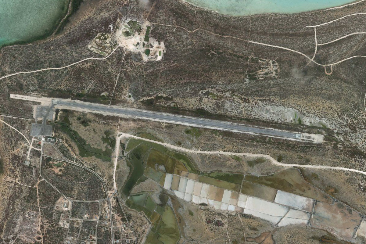
Le Habana(POI2) to Key West(POI3)
Distance: 88.99NM Bearing: 26° 43 minutes
Fly northeast on the 90 mile crossing of the Straits of Florida, to the main island of the Florida Keys, Key West
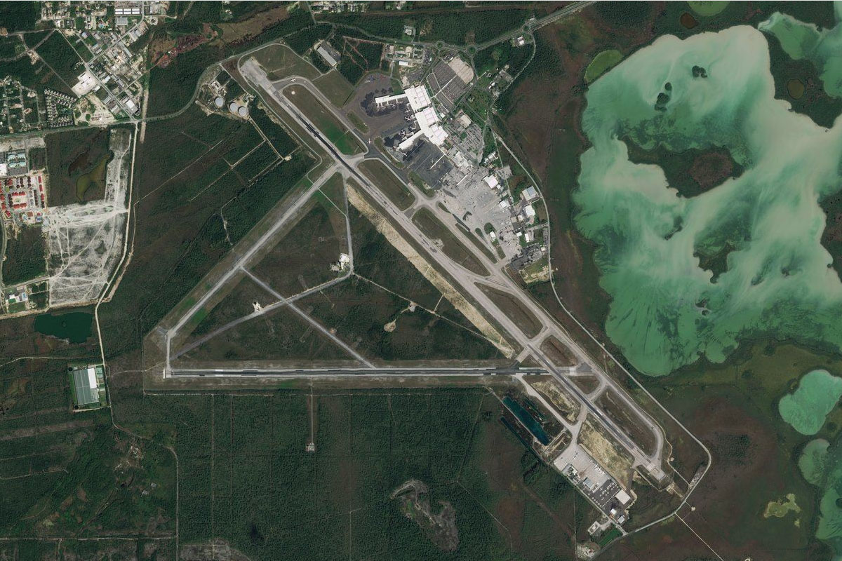
Key West(POI3) to KEYW(KEYW)
Distance: 2.98NM Bearing: 84° 1 minutes
Fly to the airport on the eastern end of the island
Leg 2
Flying from KEYW
Leg Distance: 40.5 Approximate time at 125kts: 19 minutes.
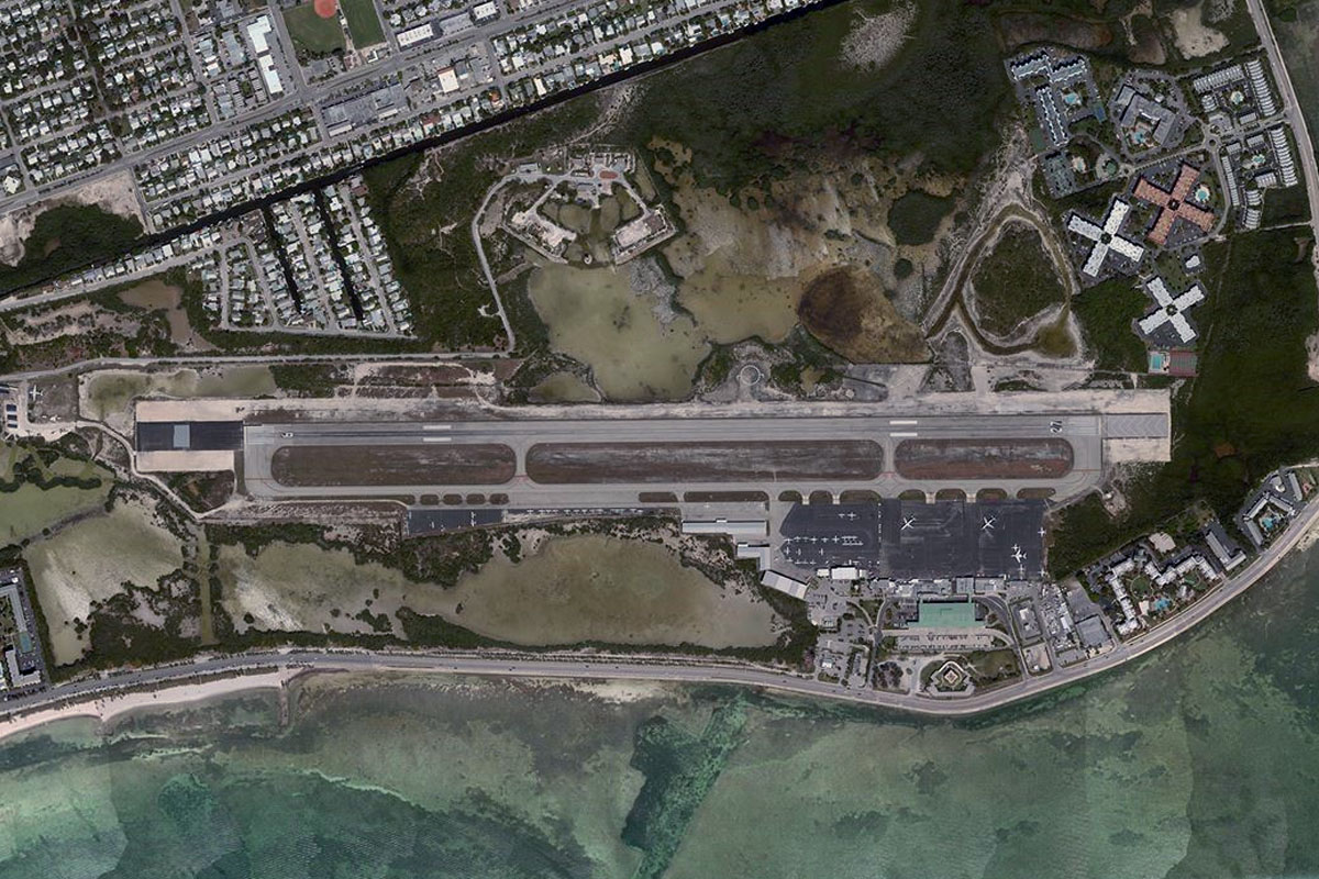
KEYW(KEYW) to Key West NAS(POI4)
Distance: 4.38NM Bearing: 77° 2 minutes
Fly east over Key West Naval Air Station on the next island
Key West NAS(POI4) to Sugarloaf(POI5)
Distance: 8.17NM Bearing: 65° 4 minutes
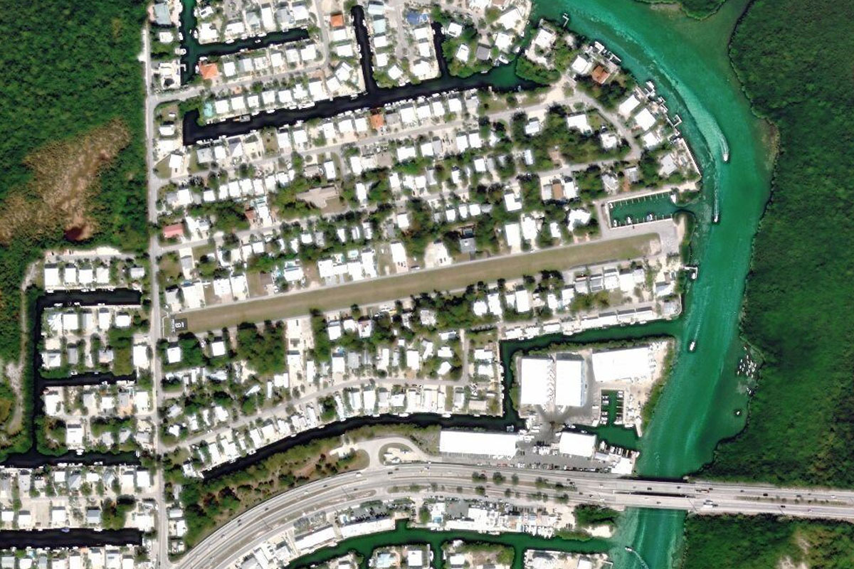
Head northeast to meet the Overseas Highway, a 113 mile highway leading all the way along the Florida Keys to the mainland
Sugarloaf(POI5) to Big Pine Key(POI6)
Distance: 11.4NM Bearing: 91° 5 minutes
Follow the highway east to Big Pine key, the last major key in the western group known as the Lower Keys
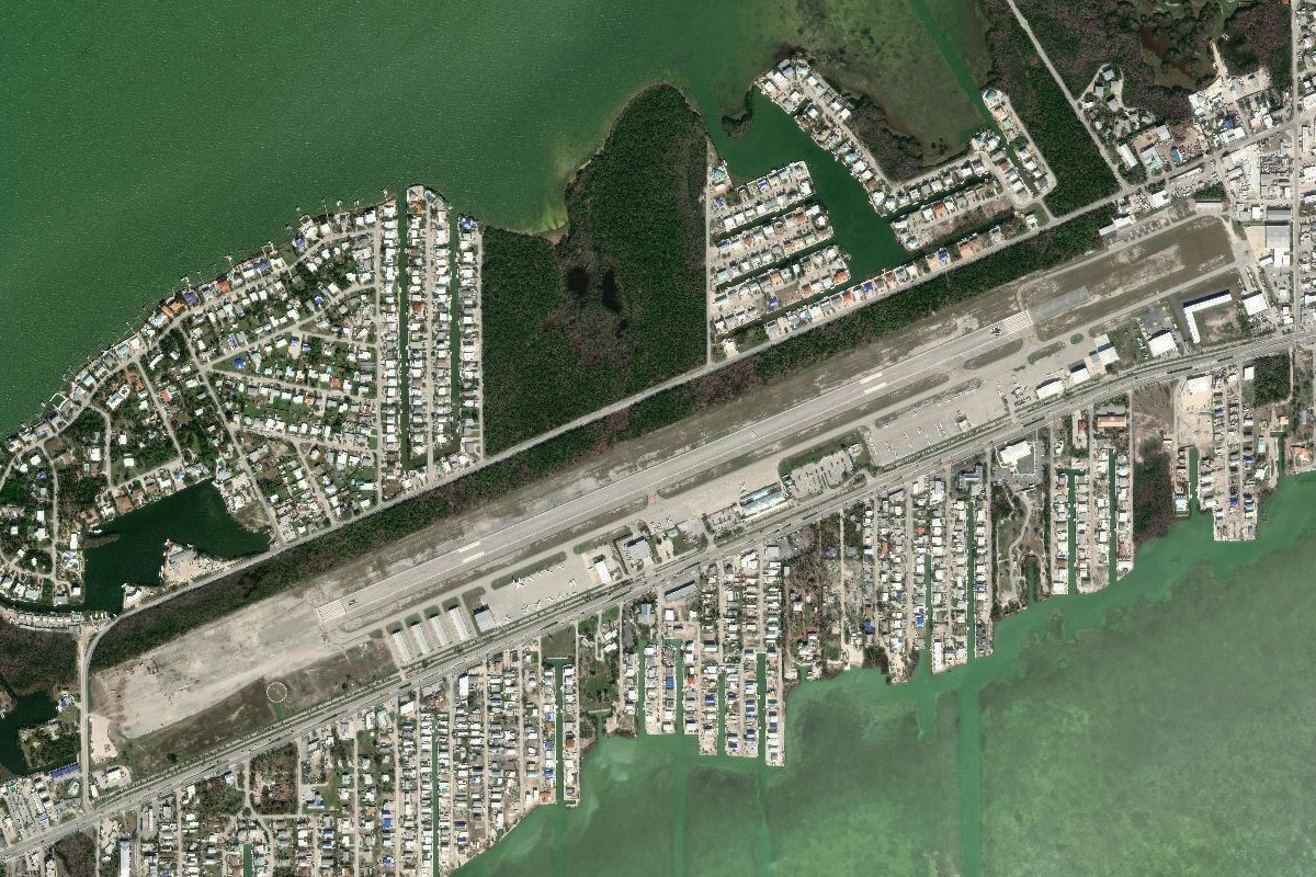
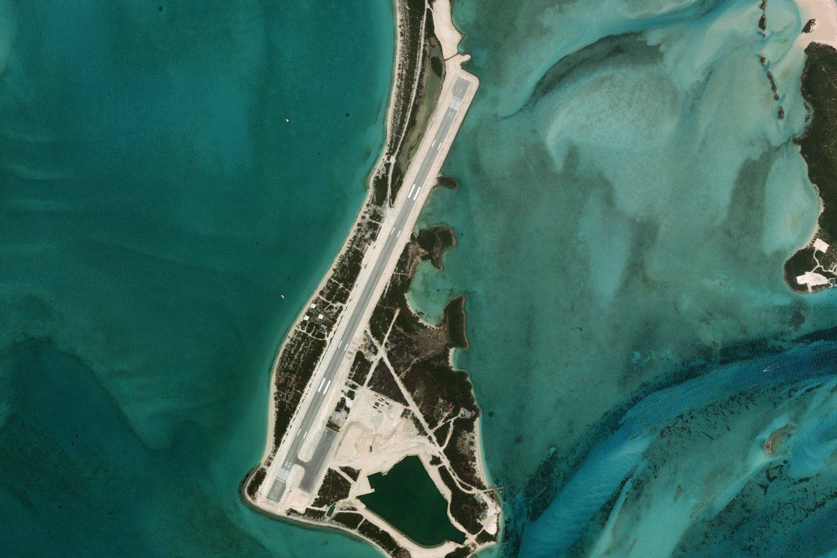
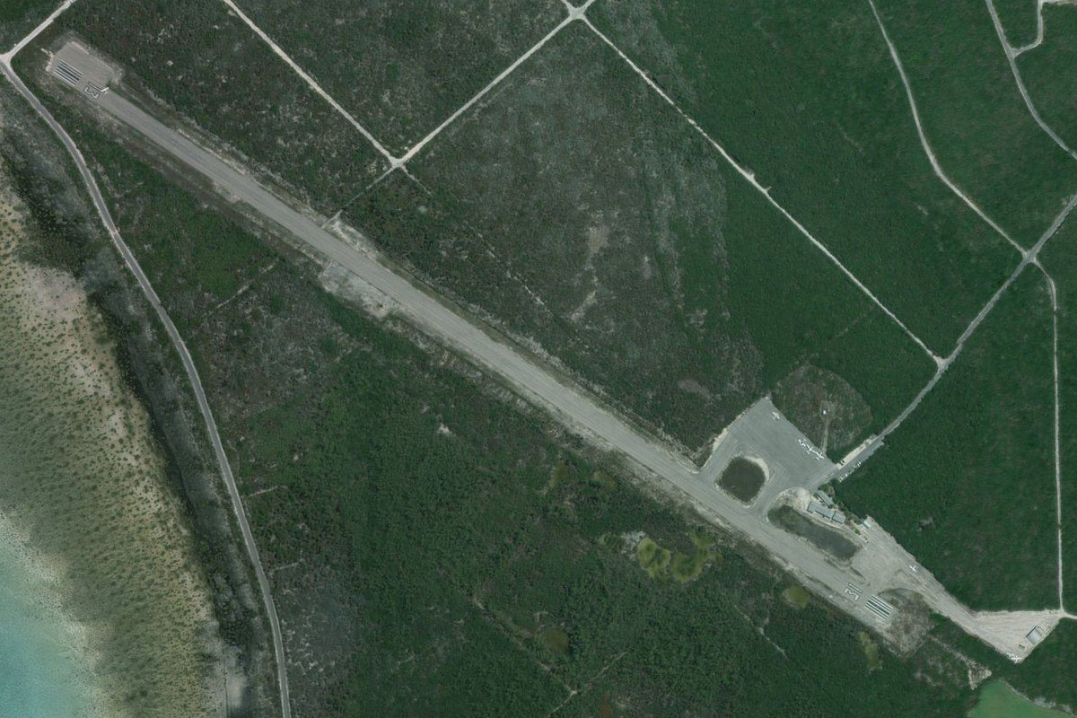
Big Pine Key(POI6) to KMTH(KMTH)
Distance: 16.55NM Bearing: 84° 8 minutes
After a small section of the highway running south, continue east past the longest bridge in the keys, Seven Mile Bridge, to the airport at Marathon, a city spread across 13 islands
Leg 3
Flying from KMTH
Leg Distance: 33.24 Approximate time at 125kts: 16 minutes.
KMTH(KMTH) to Long Key(POI7)
Distance: 14.34NM Bearing: 74° 7 minutes
Follow the highway east
Long Key(POI7) to FA81(FA81)
Distance: 18.9NM Bearing: 59° 9 minutes
Continue northeast along the highway until you reach the small airpark on Plantation Key, on the north side of the highway
Leg 4
Flying from FA81
Leg Distance: 23.67 Approximate time at 125kts: 11 minutes.
FA81(FA81) to Key Largo(POI8)
Distance: 13.1NM Bearing: 48° 6 minutes
Keep following the highway northeast, over the famously named Key Largo, until the highway turns sharply away to the northwest
Key Largo(POI8) to 07FA(07FA)
Distance: 10.57NM Bearing: 37° 5 minutes
Leaving the highway and continuing northeast, head to the far end of the island and the airport in the exclusive private community of Ocean Reef Club
Leg 5
Flying from 07FA
Leg Distance: 40.07 Approximate time at 125kts: 19 minutes.
07FA(07FA) to Homestead(POI9)
Distance: 14.25NM Bearing: 31° 7 minutes
After takeoff, follow the thin strip of land northeast into Biscayne National Park
Homestead(POI9) to Cape Florida(POI10)
Distance: 7.47NM Bearing: 12° 4 minutes
When you reach the northern tip, head north across to Cape Florida on the island of Key Biscayne
Cape Florida(POI10) to Miami Beach(POI11)
Distance: 6.87NM Bearing: 21° 3 minutes
Follow the eastern shore of the islands north until you reach the southern end of Miami's famous beach
Miami Beach(POI11) to Miami Beach(POI12)
Distance: 1.95NM Bearing: 18° 1 minutes
Head north along the famous high rise lined stretch of South Beach
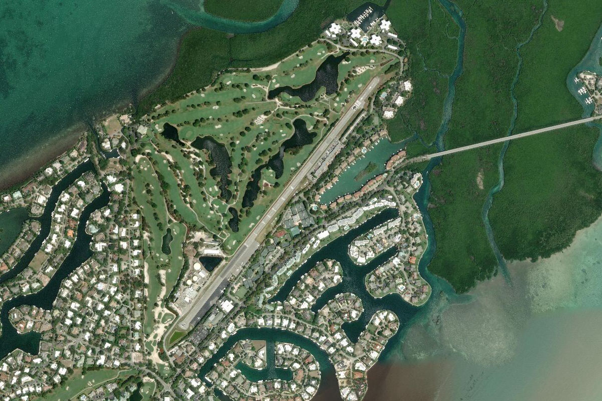
Miami Beach(POI12) to Miami(POI13)
Distance: 4.09NM Bearing: 253° 2 minutes
Turn west over the golf course, then head southwest to the downtown area of Miami
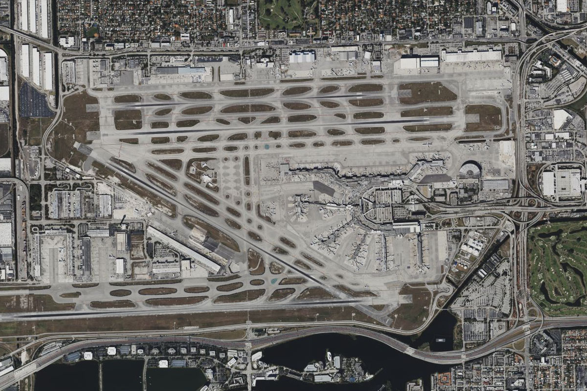
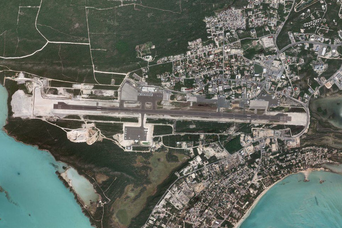
Miami(POI13) to KMIA(KMIA)
Distance: 5.44NM Bearing: 287° 3 minutes
From the city, head west to one of the USA's major airports, Miami International
Leg 6
Flying from KMIA
Leg Distance: 69.04 Approximate time at 125kts: 33 minutes.
KMIA(KMIA) to Opa-Locka(POI14)
Distance: 6.75NM Bearing: 9° 3 minutes
After takeoff, head north to overfly the nearby Opa-Locka Airport
Opa-Locka(POI14) to Hard Rock Stadium(POI15)
Distance: 4.1NM Bearing: 48° 2 minutes
A few miles northeast of the airport is Hard Rock Stadium, home to the Miami Dolphins football team
Hard Rock Stadium(POI15) to Golden Beach(POI16)
Distance: 6.43NM Bearing: 94° 3 minutes
Head east to the coast
Golden Beach(POI16) to Haulover Inlet(POI17)
Distance: 3.96NM Bearing: 190° 2 minutes
Follow the shore south past the beachside high rise buildings
Haulover Inlet(POI17) to Bimini(POI18)
Distance: 45.44NM Bearing: 112° 22 minutes
When you reach the harbour inlet, turn east and head across the sea to the Bimini Islands, the first stop on a tour of the Bahamas
Bimini(POI18) to MYBS(MYBS)
Distance: 2.36NM Bearing: 108° 1 minutes
South Bimini airport is on the eastern end of the southern island
Leg 7
Flying from MYBS
Leg Distance: 76.91 Approximate time at 125kts: 37 minutes.
MYBS(MYBS) to Andros Island(POI19)
Distance: 63.67NM Bearing: 125° 31 minutes
Head southeast, once again over water to the northwestern tip of the largest island in the group, Andros
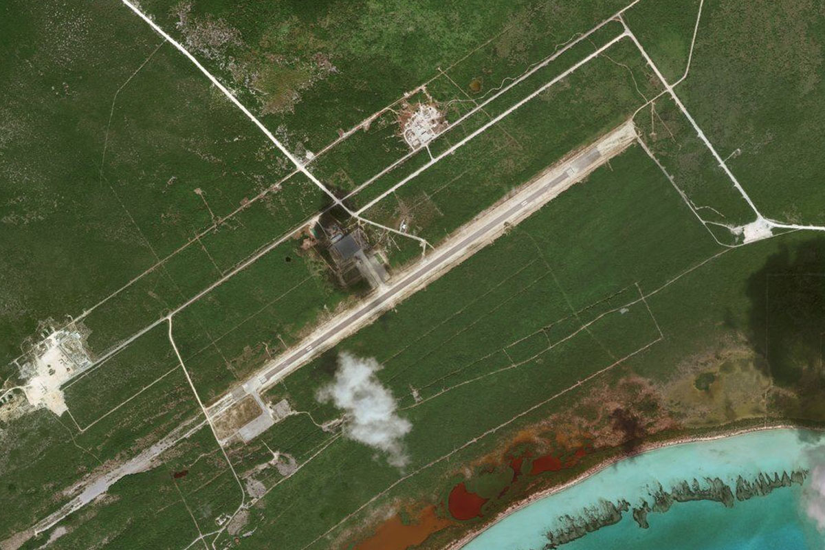
Andros Island(POI19) to MYAN(MYAN)
Distance: 13.24NM Bearing: 141° 6 minutes
Continue southeast to San Andros Airport, which sits in the middle of the northern part of the island
Leg 8
Flying from MYAN
Leg Distance: 31.72 Approximate time at 125kts: 15 minutes.
MYAN(MYAN) to New Providence(POI20)
Distance: 27.09NM Bearing: 101° 13 minutes
Head east across the coast and to the next island, New Providence, which houses the country's capital and largest city, Nassau
New Providence(POI20) to MYNN(MYNN)
Distance: 4.63NM Bearing: 97° 2 minutes
The main international airport in the country is the main feature of the western end of the island
Leg 9
Flying from MYNN
Leg Distance: 51.59 Approximate time at 125kts: 25 minutes.
MYNN(MYNN) to Nassau(POI21)
Distance: 9.3NM Bearing: 91° 4 minutes
After takeoff, head east past the city of Nassau, which has over 70 percent of the country's population
Nassau(POI21) to Ship Channel Cay(POI22)
Distance: 29.53NM Bearing: 130° 14 minutes
Head southeast across the sea to Ship Channel Cay, the northernmost of a narrow island chain
Ship Channel Cay(POI22) to Norman’s Cay(POI23)
Distance: 9.7NM Bearing: 183° 5 minutes
Follow the island chain south to Norman's Cay, which features a large airstrip
Norman’s Cay(POI23) to MYEN(MYEN)
Distance: 3.06NM Bearing: 194° 1 minutes
The airport sits on the southern tip of the cay
Leg 10
Flying from MYEN
Leg Distance: 34.31 Approximate time at 125kts: 16 minutes.
MYEN(MYEN) to Shroud Cay(POI24)
Distance: 2.82NM Bearing: 152° 1 minutes
After takeoff, head southeast to the large island nearby, Shroud Cay
Shroud Cay(POI24) to Little Hawksbill Cay(POI25)
Distance: 6.45NM Bearing: 175° 3 minutes
Follow the island chain south
Little Hawksbill Cay(POI25) to Warderick Wells Cay(POI26)
Distance: 7.82NM Bearing: 126° 4 minutes
The island chain will lead you back to the southeast
Warderick Wells Cay(POI26) to Sampson Cay(POI27)
Distance: 13.66NM Bearing: 150° 7 minutes
Keep following the islands southeast, past the airstrip at Sampson Cay
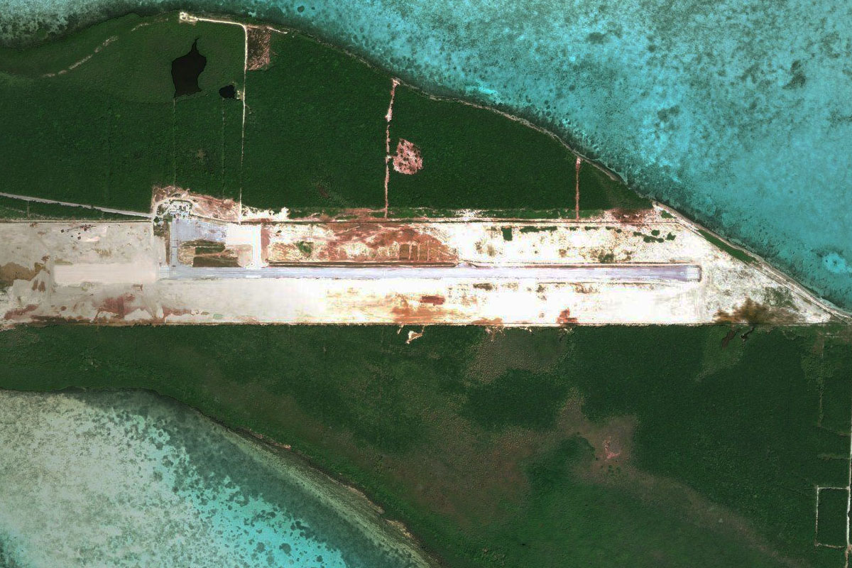
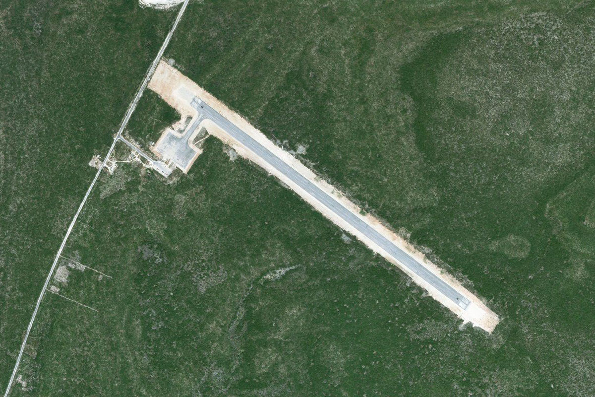
Sampson Cay(POI27) to MYES(MYES)
Distance: 3.56NM Bearing: 159° 2 minutes
Staniel Cay is a few miles southeast from Sampson Cay, and has a sealed runway and small town on the island. The island has also been a filming location for James Bond movies
Leg 11
Flying from MYES
Leg Distance: 48.21 Approximate time at 125kts: 23 minutes.
MYES(MYES) to Farmer’s Cay(POI28)
Distance: 14.58NM Bearing: 161° 7 minutes
Continue southeast along the islands, passing the airstrip on Farmer's Cay
Farmer’s Cay(POI28) to Exuma Point(POI29)
Distance: 23.48NM Bearing: 142° 11 minutes
Continue southeast to the largest island in the local district, Great Exuma
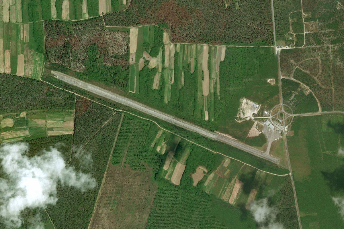
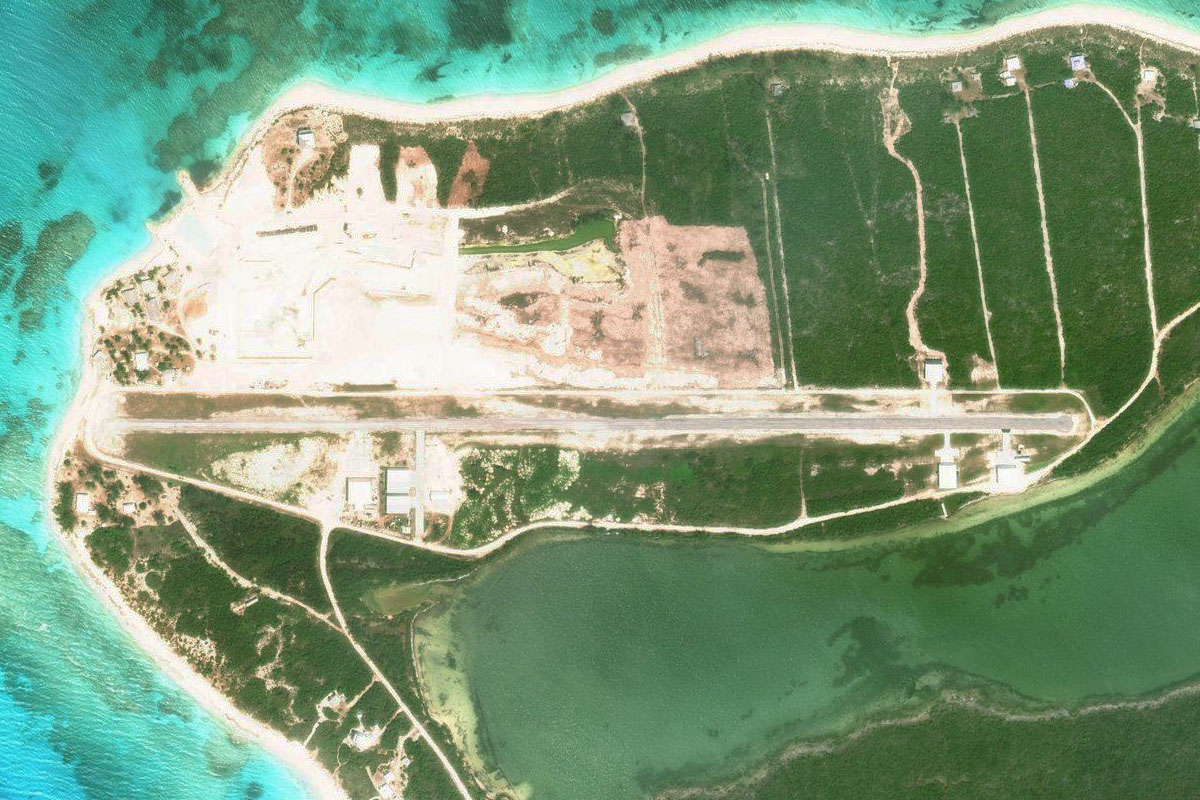
Exuma Point(POI29) to MYEF(MYEF)
Distance: 10.15NM Bearing: 148° 5 minutes
Exuma Intl airport lies about halfway along the island
Leg 12
Flying from MYEF
Leg Distance: 40.65 Approximate time at 125kts: 20 minutes.
MYEF(MYEF) to Hog Cay(POI30)
Distance: 23.86NM Bearing: 124° 11 minutes
Fly southeast along the length of Great Exuma Island to the next island, Little Exuma, then to Hog Cay at the end of the chain
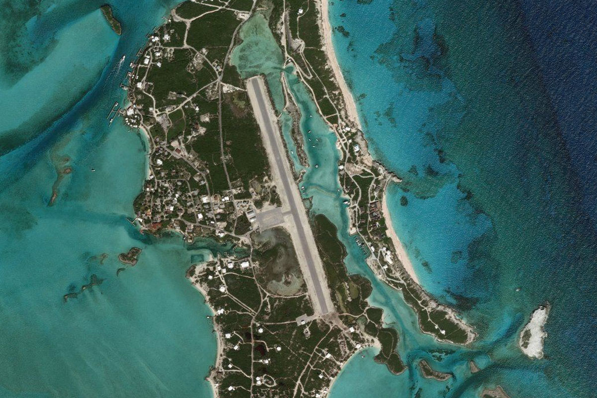
Hog Cay(POI30) to Long Island(POI31)
Distance: 13.88NM Bearing: 51° 7 minutes
From Hog Cay, head northeast to Long Island, regarded as the most scenic island in the Bahamas
Long Island(POI31) to MYLS(MYLS)
Distance: 2.91NM Bearing: 83° 1 minutes
Stella Maris airport is in the north of the island next to a circular bay
Leg 13
Flying from MYLS
Leg Distance: 78.89 Approximate time at 125kts: 38 minutes.
MYLS(MYLS) to Deadmans Cay(POI32)
Distance: 27.74NM Bearing: 167° 13 minutes
Fly south along the island
Deadmans Cay(POI32) to Clarence Town(POI33)
Distance: 8.64NM Bearing: 126° 4 minutes
After passing Deadmans Cay airport, follow the north coast of the island to Clarence Town, passing the popular natural attraction of Dean's Blue Hole
Clarence Town(POI33) to Gordon’s Settlement(POI34)
Distance: 14.95NM Bearing: 169° 7 minutes
Continue south to the end of the island
Gordon’s Settlement(POI34) to MYX1(MYX1)
Distance: 27.56NM Bearing: 104° 13 minutes
Fly east on another water crossing to the airport on the northern tip of Crooked Island
Leg 14
Flying from MYX1
Leg Distance: 34.22 Approximate time at 125kts: 16 minutes.
MYX1(MYX1) to Crooked Island(POI35)
Distance: 9.05NM Bearing: 167° 4 minutes
Fly to the southwestern tip of the island
Crooked Island(POI35) to Acklins Island(POI36)
Distance: 14.61NM Bearing: 120° 7 minutes
Head southeast along the southern shore of the island to the next island in the group, Acklins Island
Acklins Island(POI36) to MYAP(MYAP)
Distance: 10.56NM Bearing: 171° 5 minutes
Fly south across Mesons Bay to Spring Point Airport
Leg 15
Flying from MYAP
Leg Distance: 53.44 Approximate time at 125kts: 26 minutes.
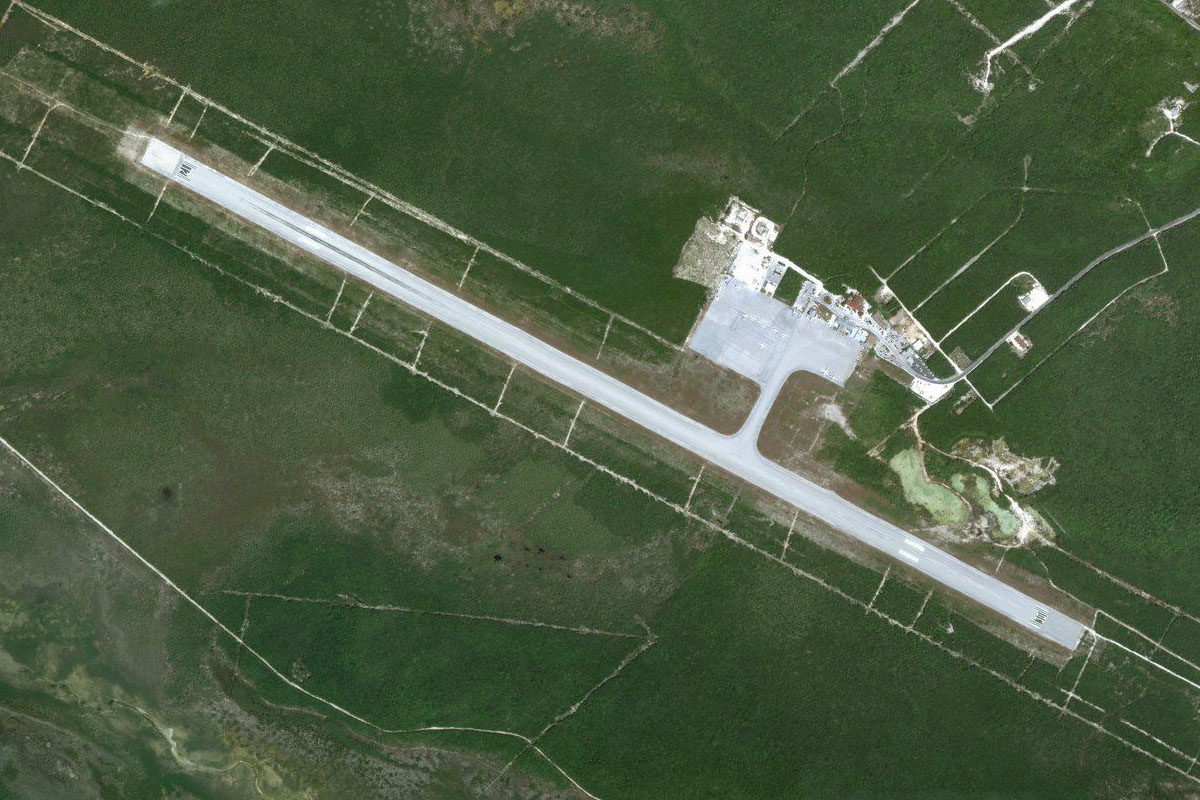
MYAP(MYAP) to Mayaguana(POI37)
Distance: 44.71NM Bearing: 106° 21 minutes
After takeoff, head to the easternmost island in the Bahamas, Mayaguana
Mayaguana(POI37) to MYMM(MYMM)
Distance: 8.73NM Bearing: 94° 4 minutes
The airfield is near the center of the island
Leg 16
Flying from MYMM
Leg Distance: 56.01 Approximate time at 125kts: 27 minutes.
MYMM(MYMM) to Southeast Point(POI38)
Distance: 14.16NM Bearing: 125° 7 minutes
Fly to the southeastern point of the island
Southeast Point(POI38) to Providenciales(POI39)
Distance: 35.3NM Bearing: 146° 17 minutes
Continue southeast across the Calico Passage into the British overseas territory of the Turks and Caicos Islands, and the northern tip of the island of Providenciales
Providenciales(POI39) to MBPV(MBPV)
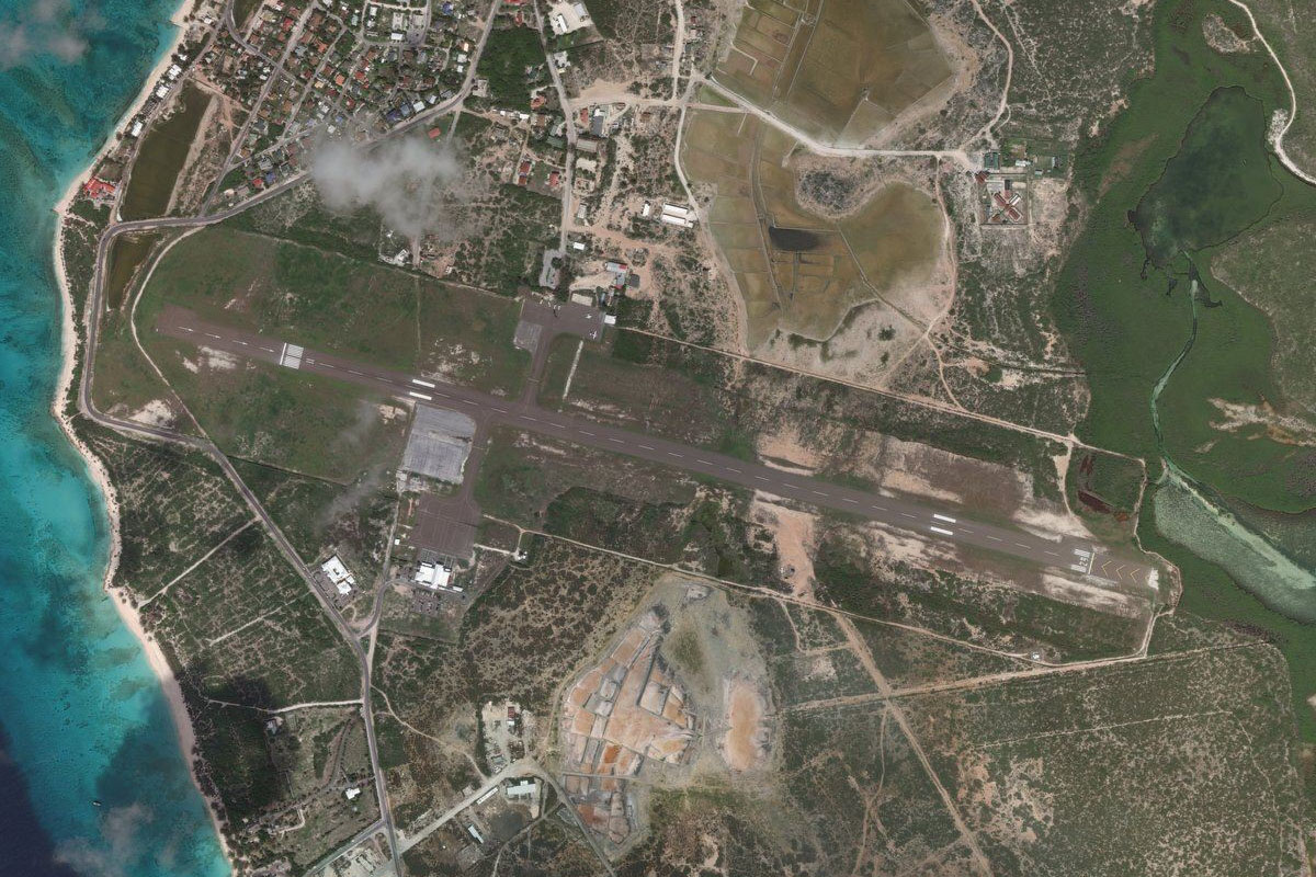
Distance: 6.55NM Bearing: 157° 3 minutes
Providenciales Airport is near the center of the island, the most populated in the group
Leg 17
Flying from MBPV
Leg Distance: 46.27 Approximate time at 125kts: 22 minutes.
MBPV(MBPV) to Long Bay Beach(POI40)
Distance: 5.73NM Bearing: 105° 3 minutes
Head east to Long Bay Beach, an area of luxury villas, and the shipwreck of the 'La Famille Express' which lies a couple of miles offshore
Long Bay Beach(POI40) to MBAC(MBAC)
Distance: 40.54NM Bearing: 145° 19 minutes
Fly southeast over the open water to Ambergis Cay Airport, which dominates the island of the same name
Leg 18
Flying from MBAC
Leg Distance: 32.34 Approximate time at 125kts: 16 minutes.
MBAC(MBAC) to Salt Cay(POI41)
Distance: 24.21NM Bearing: 98° 12 minutes
After takeoff, fly east to Salt Cay
Salt Cay(POI41) to MBGT(MBGT)
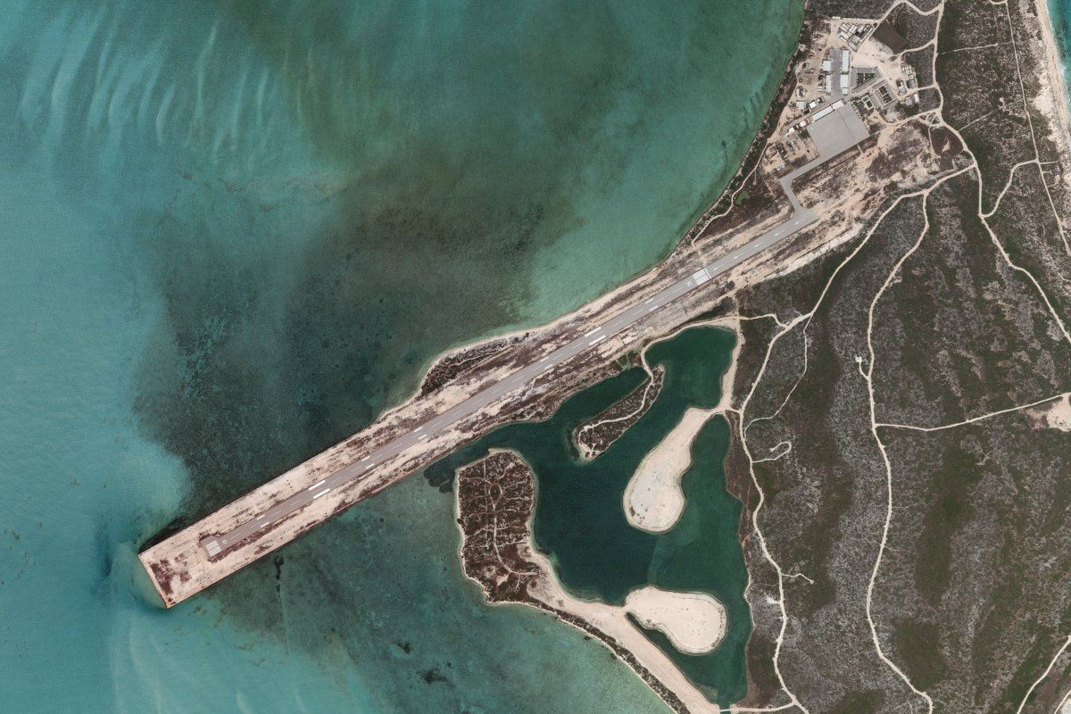
Distance: 8.13NM Bearing: 39° 4 minutes
Turn and head north to Grand Turk Island, home of the capital of Cockburn Town. The airport is near the southern tip of the island, which is also home to the cruise ship terminal
Leg 19
Flying from MBGT
Leg Distance: 26.29 Approximate time at 125kts: 13 minutes.
MBGT(MBGT) to Grand Turk Lighthouse(POI42)
Distance: 4.14NM Bearing: 19° 2 minutes
Head over the town to the lighthouse at the northern tip of the island
Grand Turk Lighthouse(POI42) to South Caicos(POI43)
Distance: 20.25NM Bearing: 283° 10 minutes
Turn west and head to South Caicos Island
South Caicos(POI43) to MBSC(MBSC)
Distance: 1.9NM Bearing: 275° 1 minutes
The airport lies on the western side of the island, and is the destination for this stage