This stage of the tour begins in the city of Boston, working its way across the state of Massachusetts, then across upstate New York to Lake Ontario. Heading north to the Saint Lawrence Valley, you’ll explore the mighty Saint Lawrence and Ottawa Rivers and the major Canadian cities Ottawa, Montreal and Quebec. Heading south back into the US state of Maine, you’ll journey over a land dotted with lakes and low lying mountain ranges on the way to the Gulf of Maine on the Atlantic coast. The final part of the stage will take you along the beautiful forested and rugged coastline of Maine before crossing the Bay of Fundy to the Canadian State of Nova Scotia and its capital city, Halifax
Total Legs: 28 Total Distance: 1421 Total Time(125kts): 11 hours 22 minutes
Leg 1
Flying from KBOS
Leg Distance: 37.19 Approximate time at 125kts: 18 minutes.
KBOS(KBOS) to Mystic Lakes(POI1)
Distance: 7.34NM Bearing: 315° 4 minutes
After takeoff, fly northwest along the Mystic River to Mystic Lakes State Park
Mystic Lakes(POI1) to Concord Highway(POI2)
Distance: 2.34NM Bearing: 270° 1 minutes
From the lakes, head west to meet the Concord Highway
Concord Highway(POI2) to Concord(POI3)
Distance: 5.73NM Bearing: 304° 3 minutes
Follow the highway northwest towards the town of Concord
Concord(POI3) to MA-2(POI4)
Distance: 5.68NM Bearing: 298° 3 minutes
The highway will loop around to the south of Concord, then continue west
MA-2(POI4) to Littleton(POI5)
Distance: 4.9NM Bearing: 326° 2 minutes
Stay with the highway as it heads northeast and crosses Interstate Highway 495
Littleton(POI5) to Leominster(POI6)
Distance: 8.79NM Bearing: 282° 4 minutes
After crossing the Interstate, the highway will turn west and head to the town of Leominster
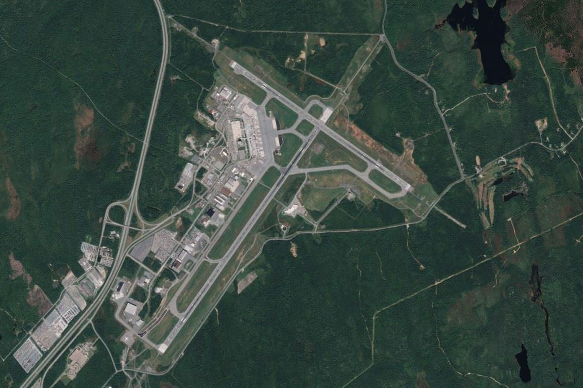
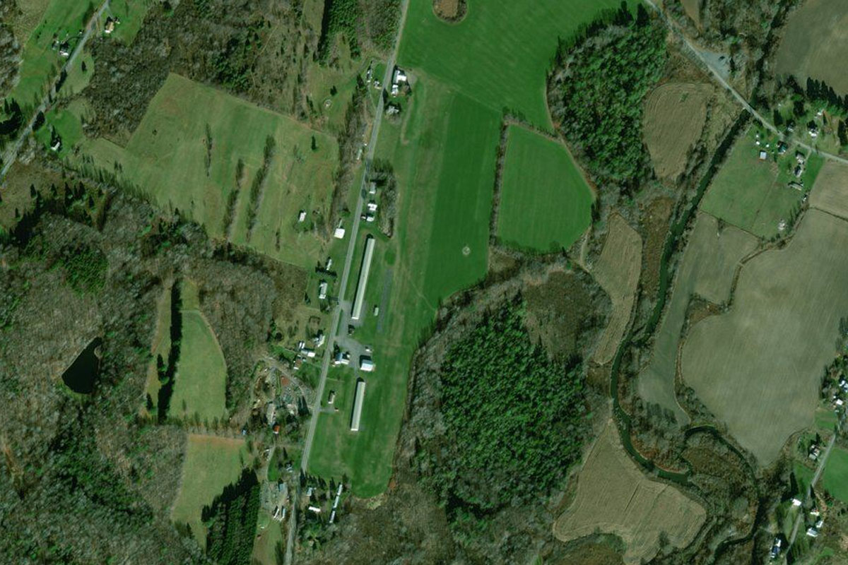
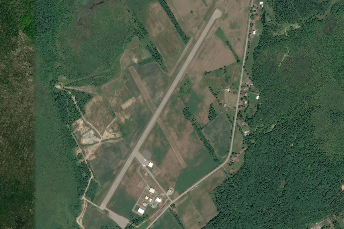
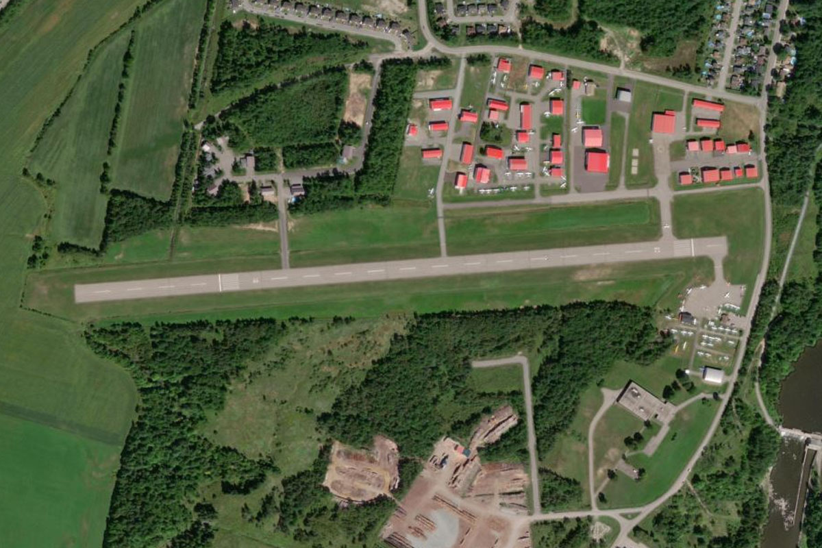
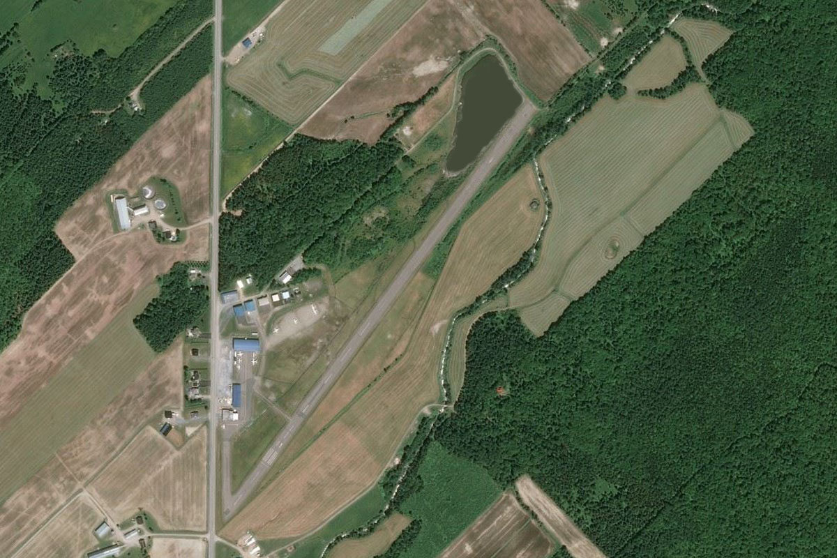
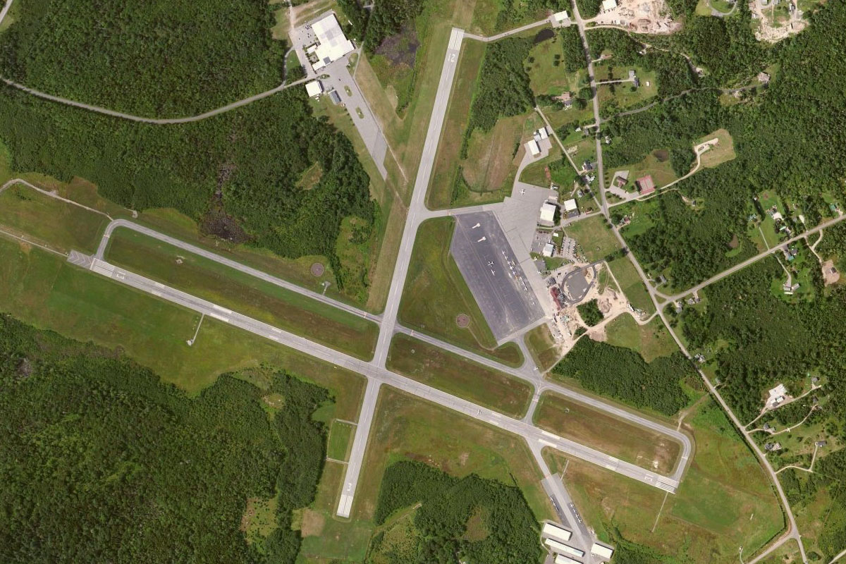
Leominster(POI6) to KFIT(KFIT)
Distance: 2.41NM Bearing: 335° 1 minutes
The airport is north of the town next to the highway
Leg 2
Flying from KFIT
Leg Distance: 34.01 Approximate time at 125kts: 16 minutes.
KFIT(KFIT) to Gardner(POI7)
Distance: 10.16NM Bearing: 288° 5 minutes
After takeoff, follow the highway west across the Massachusetts countryside to the town of Gardner
Gardner(POI7) to Orange(POI8)
Distance: 13.66NM Bearing: 282° 7 minutes
Keep following the highway west, where it will turn north past Orange Municipal Airport
Orange(POI8) to 0B5(0B5)
Distance: 10.19NM Bearing: 295° 5 minutes
The highway will briefly run north towards the town of Orange, before turning west with the Millers River valley. On the western side of the hills is Turners Falls Airport, just south of the Connecticut River Reservoir
Leg 3
Flying from 0B5
Leg Distance: 48.1 Approximate time at 125kts: 23 minutes.
0B5(0B5) to Greenfield(POI9)
Distance: 3.52NM Bearing: 292° 2 minutes
After takeoff, fly west across the river to the nearby large town of Greenfield
Greenfield(POI9) to Deerfield River(POI10)
Distance: 13.31NM Bearing: 291° 6 minutes
Continue west to the nearby hills and follow the Deerfield River valley west
Deerfield River(POI10) to Deerfield River(POI11)
Distance: 5.01NM Bearing: 316° 2 minutes
Keep following the river as it turns northwest
Deerfield River(POI11) to North Adams(POI12)
Distance: 5.31NM Bearing: 299° 3 minutes
When the river turns north, continue west over the hills to the large town of North Adams
North Adams(POI12) to Dyken Pond(POI13)
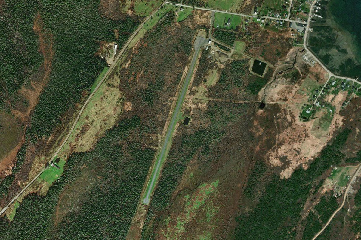
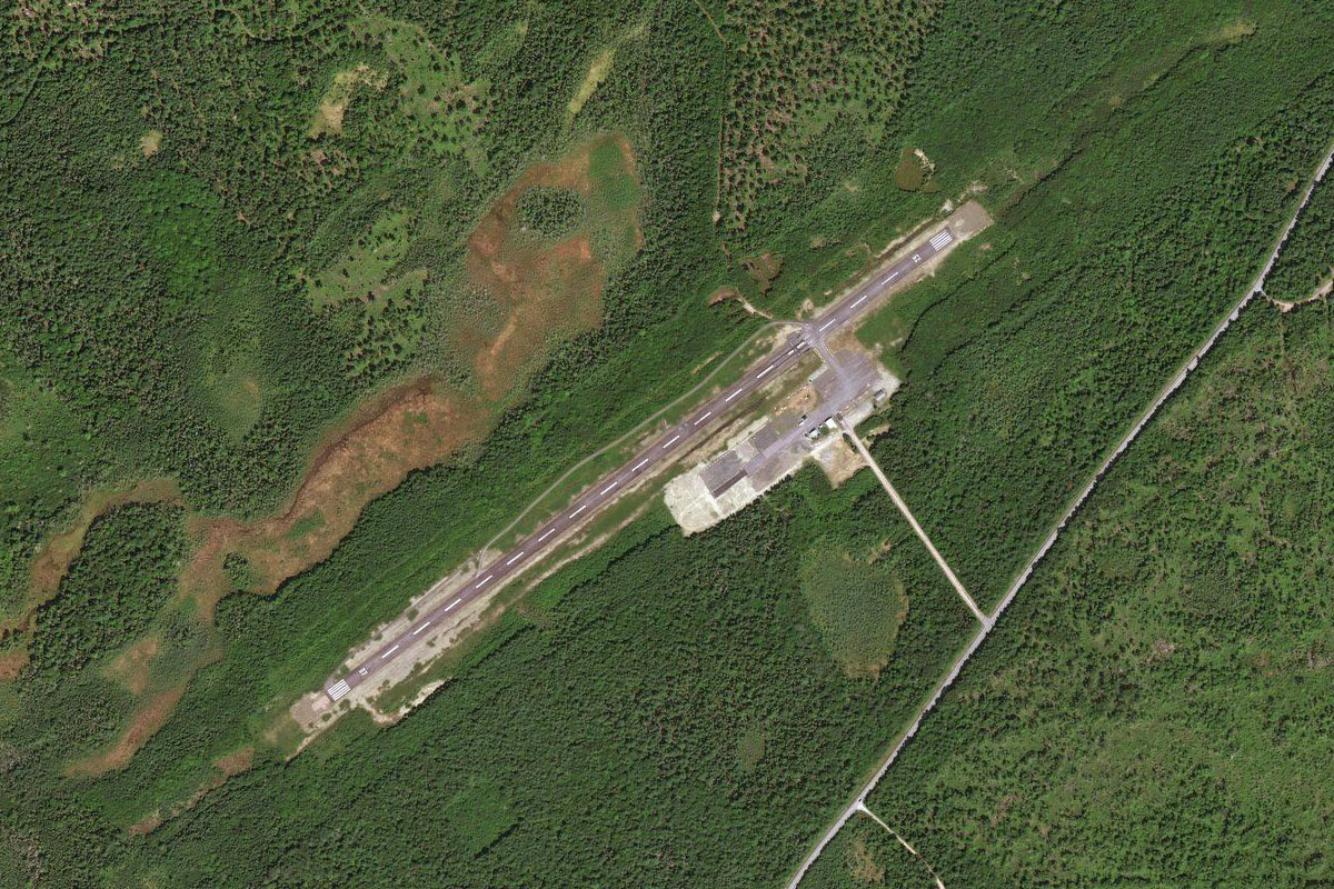
Distance: 14.06NM Bearing: 289° 7 minutes
Fly west over the airport which lies between two hills, then continue west (runway heading) over the mountains to the small reservoir
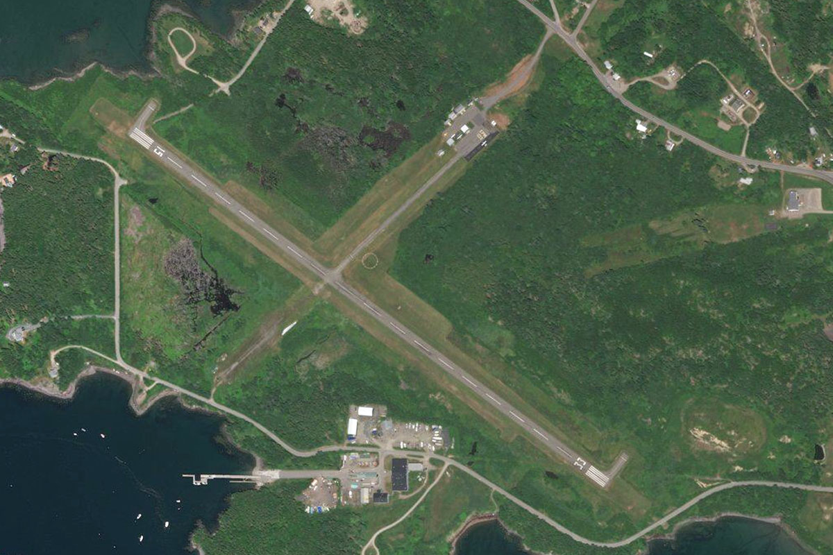
Dyken Pond(POI13) to 5B7(5B7)
Distance: 6.89NM Bearing: 268° 3 minutes
From the reservoir, fly directly west to the small airport on the lowlands a mile west of the hills
Leg 4
Flying from 5B7
Leg Distance: 68.35 Approximate time at 125kts: 33 minutes.
5B7(5B7) to Albany(POI14)
Distance: 7.88NM Bearing: 265° 4 minutes
After takeoff, head west to the city of Albany, the capital of New York state
Albany(POI14) to Schenectady(POI15)
Distance: 12.89NM Bearing: 332° 6 minutes
From downtown Albany follow the straight line of State Highway 5 to the city of Schenectady
Schenectady(POI15) to I-88(POI16)
Distance: 29.61NM Bearing: 262° 14 minutes
Turn southwest from Schenectady and follow Interstate Highway 88
I-88(POI16) to Cherry Valley Creek(POI17)
Distance: 10.55NM Bearing: 311° 5 minutes
When the highway turns briefly northwest to pass around a group of hills, head northwest with the highway, then leave the highway and continue northwest across the hills until you reach a shallow valley
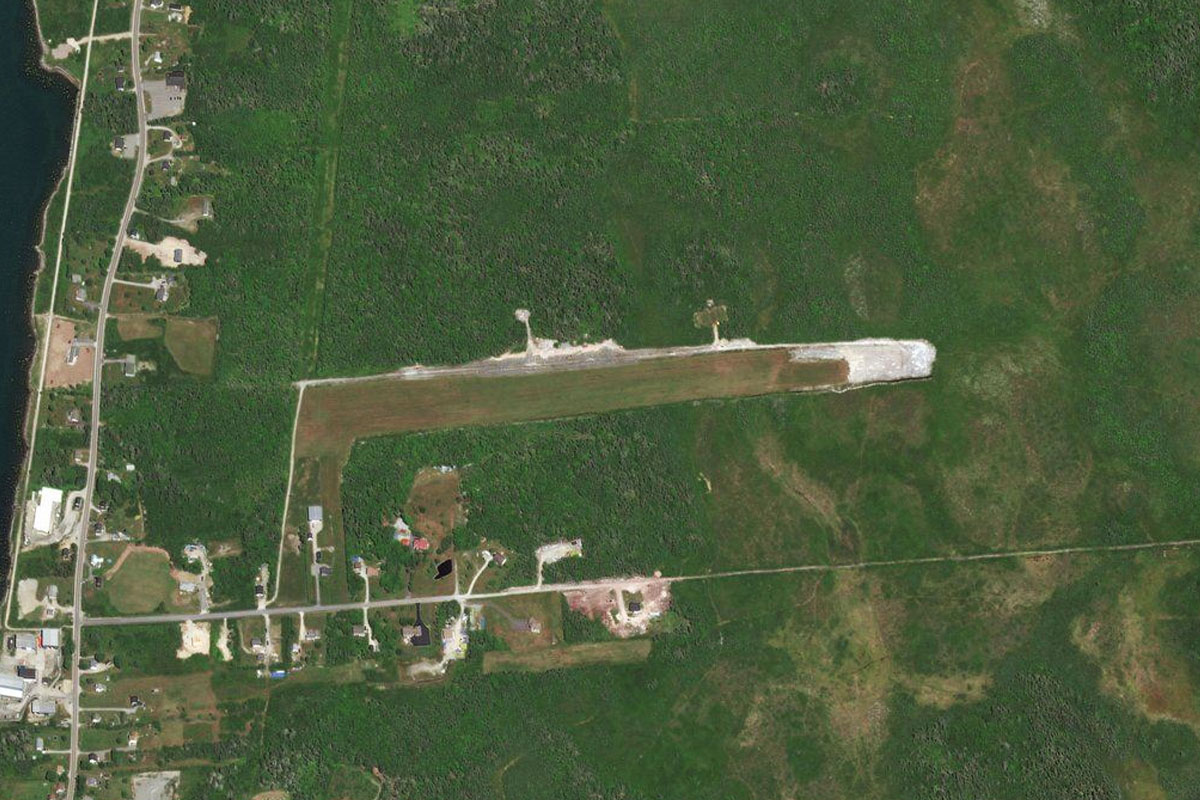
Cherry Valley Creek(POI17) to K23(K23)
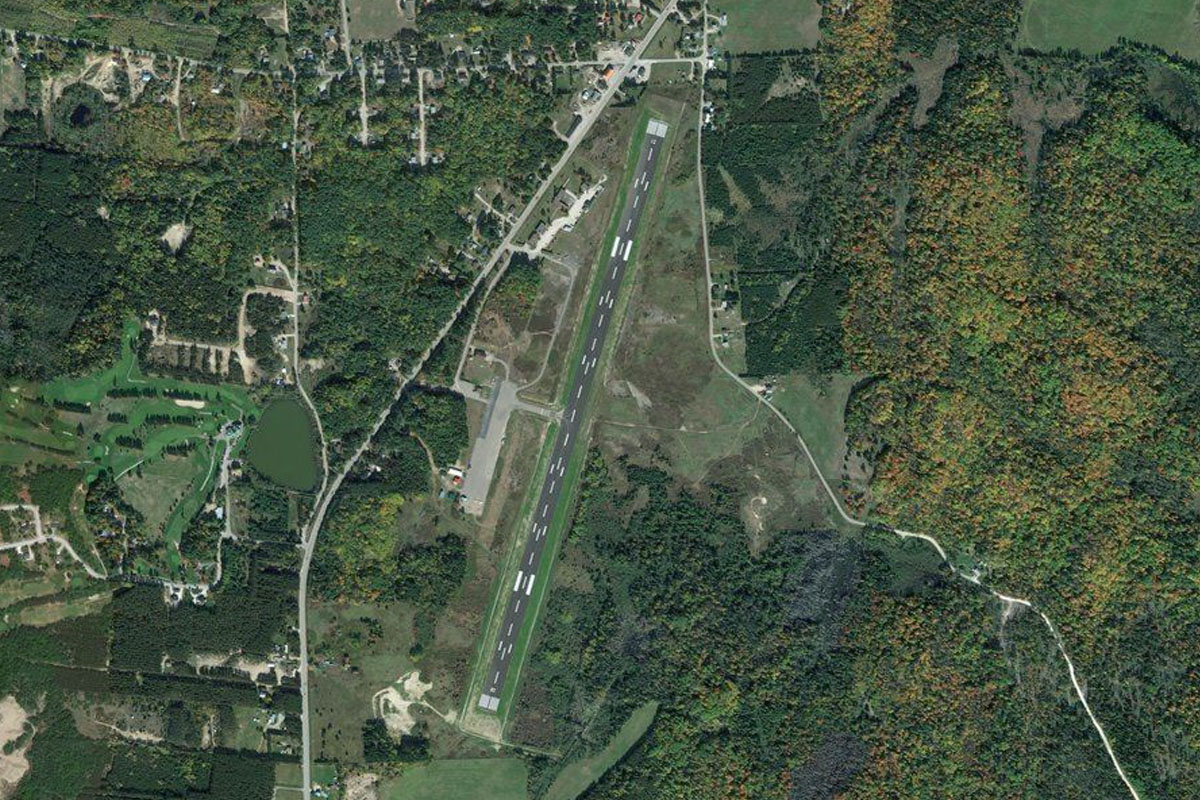
Distance: 7.42NM Bearing: 235° 4 minutes
Follow the valley as it curves around to the south along with a minor highway along its western side. You will find a small grass airfield next to the road on the western side of the creek
Leg 5
Flying from K23
Leg Distance: 50.96 Approximate time at 125kts: 24 minutes.
K23(K23) to Baseball Village(POI18)
Distance: 2.82NM Bearing: 279° 1 minutes
Fly west over the hills to the next valley
Baseball Village(POI18) to Cooperstown(POI19)
Distance: 4.66NM Bearing: 30° 2 minutes
Follow the valley north over the large baseball complex of Cooperstown Dreams Park, a key venue for junior baseball competitions, then continue northeast to Cooperstown on the southern tip of Otsego Lake. The town is home to the National Baseball Hall of Fame
Cooperstown(POI19) to Otsego Lake(POI20)
Distance: 6.93NM Bearing: 26° 3 minutes
Fly to the north end of the lake
Otsego Lake(POI20) to Mohawk River(POI21)
Distance: 12.7NM Bearing: 359° 6 minutes
Fly north across the rolling countryside until you reach the Mohawk River which runs east-west, accompanied by Interstate Highway 90
Mohawk River(POI21) to Utica(POI22)
Distance: 13.19NM Bearing: 309° 6 minutes
Follow the river and highway northwest to the city of Utica, the tenth largest in the state of New York
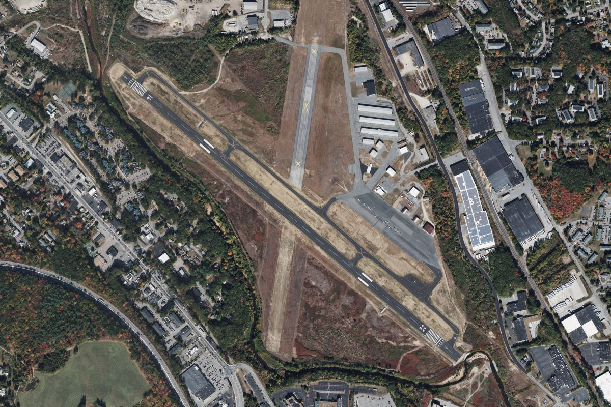
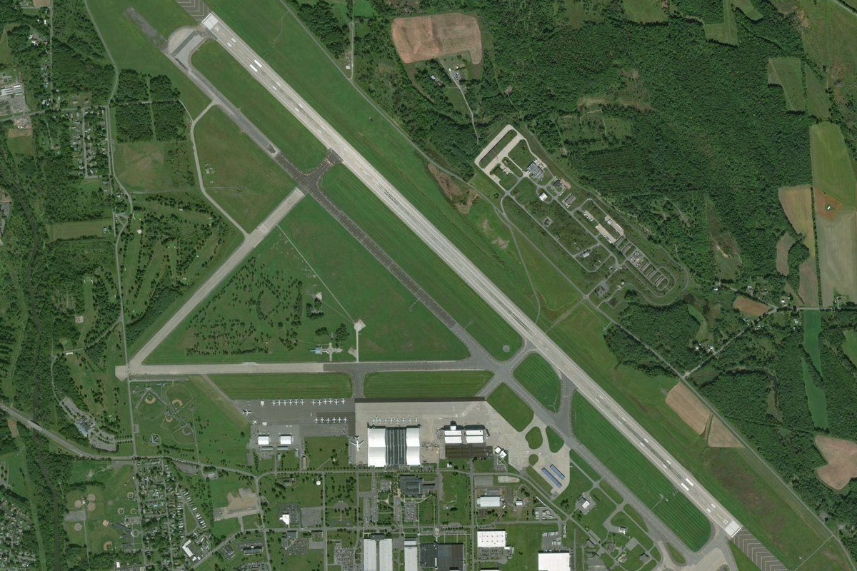
Utica(POI22) to KRME(KRME)
Distance: 10.66NM Bearing: 324° 5 minutes
Following the river northwest will lead you to Griffiss Airport, which serves the nearby city of Rome
Leg 6
Flying from KRME
Leg Distance: 33.68 Approximate time at 125kts: 16 minutes.
KRME(KRME) to Erie Canal(POI23)
Distance: 2.67NM Bearing: 235° 1 minutes
After takeoff, fly southwest over the city of Rome to the narrow canal on the south side of the city
Erie Canal(POI23) to Oneida Lake(POI24)
Distance: 12.44NM Bearing: 283° 6 minutes
Follow the canal west to Oneida Lake. The canal is part of the Erie Canal system which was built in 1825 to provide a navigable water route from the Atlantic Ocean to the Great Lakes
Oneida Lake(POI24) to Brewerton(POI25)
Distance: 17.97NM Bearing: 289° 9 minutes
Fly to the western end of the lake, which is the largest lake entirely within the state. The Oneida River will lead west from the lake
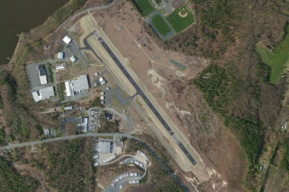
Brewerton(POI25) to 19NK(19NK)
Distance: 0.6NM Bearing: 305° 0 minutes
On the north side of the river a mile west of the highway bridge is the grass airfield of Riveredge Airpark
Leg 7
Flying from 19NK
Leg Distance: 48.64 Approximate time at 125kts: 23 minutes.
19NK(19NK) to Lake Ontario(POI26)
Distance: 17.47NM Bearing: 1° 8 minutes
After takeoff, fly north until you reach Lake Ontario
Lake Ontario(POI26) to Henderson(POI27)
Distance: 18.66NM Bearing: 14° 9 minutes
Follow the curved lake shore north to the peninsula
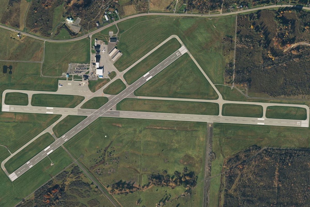
Henderson(POI27) to KART(KART)
Distance: 12.51NM Bearing: 55° 6 minutes
From the peninsula, follow the shore northeast to the mouth of the Black River, which is just north of Watertown Airport
Leg 8
Flying from KART
Leg Distance: 47.17 Approximate time at 125kts: 23 minutes.
KART(KART) to St. Lawrence River(POI28)
Distance: 15.64NM Bearing: 360° 8 minutes
Heading north after takeoff will take you to the small town of Clayton on the southern bank of the St. Lawrence River
St. Lawrence River(POI28) to St. Lawrence River(POI29)
Distance: 18.24NM Bearing: 54° 9 minutes
Follow the river northeast over the large group of islands that inhabit its western stretch. The river also marks part of the border between the USA and Canada to the north
St. Lawrence River(POI29) to Brockville(POI30)
Distance: 8.8NM Bearing: 52° 4 minutes
As the river narrows, continue northeast to the city of Brockville, which lies on the Canadian side of the river
Brockville(POI30) to CNL3(CNL3)
Distance: 4.49NM Bearing: 329° 2 minutes
Brockville airport is a couple of miles northwest from the city
Leg 9
Flying from CNL3
Leg Distance: 45.74 Approximate time at 125kts: 22 minutes.
CNL3(CNL3) to Merrickville(POI31)
Distance: 17.17NM Bearing: 1° 8 minutes
Flying north from Brockville will eventually lead you to the Rideau River
Merrickville(POI31) to Rideau River(POI32)
Distance: 14.2NM Bearing: 52° 7 minutes
Follow the Rideau River northeast
Rideau River(POI32) to Rideau River(POI33)
Distance: 10.5NM Bearing: 352° 5 minutes
Keep following the river as it turns north towards the outer suburbs of Ottawa
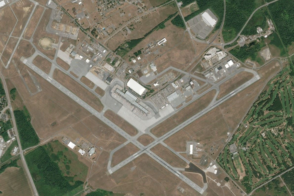
Rideau River(POI33) to CYOW(CYOW)
Distance: 3.87NM Bearing: 37° 2 minutes
As the river heads for the city, it will lead you to Ottawa's Macdonald-Cartier Airport, named after two of Canada's founding fathers
Leg 10
Flying from CYOW
Leg Distance: 60.66 Approximate time at 125kts: 29 minutes.
CYOW(CYOW) to Ottawa(POI34)
Distance: 6.04NM Bearing: 359° 3 minutes
After takeoff fly north to downtown Ottawa, the capital of Canada and the fourth largest city in the country. Key government buildings including parliament, line the south bank of the Ottawa River
Ottawa(POI34) to Riviere Gatineau(POI35)
Distance: 2.44NM Bearing: 353° 1 minutes
Continue north over the river into the state of Quebec to meet the Gatineau River heading north
Riviere Gatineau(POI35) to Wakefield(POI36)
Distance: 13.84NM Bearing: 334° 7 minutes
Follow the river northwest
Wakefield(POI36) to Barrage Paugan(POI37)
Distance: 10.05NM Bearing: 12° 5 minutes
The river will turn north at the town of Wakefield in a narrow stretch to Paugan Dam
Barrage Paugan(POI37) to Lac-Sainte-Marie(POI38)
Distance: 8.85NM Bearing: 13° 4 minutes
Continue north from the dam, following the reservoir like river to the small bridge crossing at the north end of Lac-Sainte-Marie
Lac-Sainte-Marie(POI38) to Riviere Gatineau(POI39)
Distance: 9.8NM Bearing: 358° 5 minutes
Continue north over a series of lakes until you once again meet a narrow section of the Gatineau River
Riviere Gatineau(POI39) to CYMW(CYMW)
Distance: 9.64NM Bearing: 12° 5 minutes
Follow the highway north along the western side of the river, which will soon turn away from the river and lead you to Maniwaki Airport
Leg 11
Flying from CYMW
Leg Distance: 62.81 Approximate time at 125kts: 30 minutes.
CYMW(CYMW) to Lac 31 Milles(POI40)
Distance: 14.05NM Bearing: 89° 7 minutes
After takeoff, fly east to the nearby mountains, passing over the northern end of 31 Mile Lake
Lac 31 Milles(POI40) to Lac Montjoie(POI41)
Distance: 21.9NM Bearing: 110° 11 minutes
Continue east, heading towards the taller mountain range in the distance, crossing over Lac Montjoie on the way
Lac Montjoie(POI41) to Lac Tremblant(POI42)
Distance: 21.35NM Bearing: 110° 10 minutes
Continue east to Lac Tremblant, which is at the base of Mont Tremblant, a popular ski resort and tourist destination
Lac Tremblant(POI42) to Mont Tremblant(POI43)
Distance: 2.24NM Bearing: 154° 1 minutes
Head southeast to the resort town at the southern end of the lake
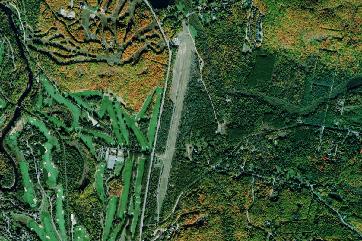
Mont Tremblant(POI43) to CSZ3(CSZ3)
Distance: 3.27NM Bearing: 187° 2 minutes
Fly south over Lake Ouimet to the airfield between two hills south of the lake. The Mont Tremblant Motor Racing Circuit is northwest of the small lake
Leg 12
Flying from CSZ3
Leg Distance: 37.53 Approximate time at 125kts: 18 minutes.
CSZ3(CSZ3) to Riviere du Diable(POI44)
Distance: 6.18NM Bearing: 213° 3 minutes
After takeoff, follow the river valley southwest
Riviere du Diable(POI44) to Huberdeau(POI45)
Distance: 5.24NM Bearing: 192° 3 minutes
The river will run into the Rouge River which will head south
Huberdeau(POI45) to Grand lac MacDonald(POI46)
Distance: 7.21NM Bearing: 178° 3 minutes
At its junction with the smaller Beaven River, leave the river and head south to Grand lac MacDonald
Grand lac MacDonald(POI46) to Autoroute 50(POI47)
Distance: 12.74NM Bearing: 180° 6 minutes
Continue south over the hilly landscape until you reach Highway 50, just north of the Ottawa River
Autoroute 50(POI47) to CSE4(CSE4)
Distance: 6.16NM Bearing: 108° 3 minutes
Follow the highway east to Lachute Airport, which is a mile north of the highway
Leg 13
Flying from CSE4
Leg Distance: 52.55 Approximate time at 125kts: 25 minutes.
CSE4(CSE4) to Ottawa River(POI48)
Distance: 10.34NM Bearing: 148° 5 minutes
After takeoff, head southeast to the Ottawa River
Ottawa River(POI48) to Ile Perrot(POI49)
Distance: 13.68NM Bearing: 142° 7 minutes
Continue southeast to Perrot Island, which sits at the confluence of the Saint Lawrence and Ottawa Rivers
Ile Perrot(POI49) to L’Ile aux Herons(POI50)
Distance: 16.24NM Bearing: 94° 8 minutes
Follow the Saint Lawrence river east to the small group of islands before it turns north towards Montreal
L’Ile aux Herons(POI50) to Montreal(POI51)
Distance: 7.22NM Bearing: 23° 3 minutes
Follow the river north to Montréal, the second largest city in Canada. On the western edge of the city is Mont Royal, after which the city is named. Across from the city's historic Old Port is the unique architecture of Habitat 67, and on the river, Île Notre-Dame houses motor racing's Circuit Gilles Villeneuve and Île Sainte-Hélène contains the Montréal Biosphere
Montreal(POI51) to CYHU(CYHU)
Distance: 5.07NM Bearing: 118° 2 minutes
Just north of the city is Montréal Olympic Park, venue for the 1976 Summer Olympic Games. From there, head southeast to St Hubert Airport
Leg 14
Flying from CYHU
Leg Distance: 51.13 Approximate time at 125kts: 25 minutes.
CYHU(CYHU) to Fleuve Saint-Laurent(POI52)
Distance: 9.4NM Bearing: 2° 5 minutes
After takeoff, head north to the St. Lawrence River
Fleuve Saint-Laurent(POI52) to Sorel-Tracy(POI53)
Distance: 26.43NM Bearing: 44° 13 minutes
Follow the river northeast to where it narrows near the city of Sorel-Tracy
Sorel-Tracy(POI53) to Lac Saint-Pierre(POI54)
Distance: 9.08NM Bearing: 55° 4 minutes
Fly northeast over the islands to the northern bank of the river where it opens out into Lake Saint Pierre
Lac Saint-Pierre(POI54) to CSJ4(CSJ4)
Distance: 6.22NM Bearing: 53° 3 minutes
Follow the north shore of the lake to Louiseville airstrip on the north side of the highway
Leg 15
Flying from CSJ4
Leg Distance: 63.18 Approximate time at 125kts: 30 minutes.
CSJ4(CSJ4) to Fleuve Saint-Laurent(POI55)
Distance: 13.93NM Bearing: 92° 7 minutes
After takeoff, fly to the eastern end of the lake which once again narrows into the river as it nears the city of Trois-Rivières
Fleuve Saint-Laurent(POI55) to Portneuf(POI56)
Distance: 37.17NM Bearing: 66° 18 minutes
Head northeast past Trois-Rivières then keep following the river as it meanders through the farmland
Portneuf(POI56) to CNV9(CNV9)
Distance: 12.08NM Bearing: 91° 6 minutes
When the river takes a sharp turn near the town of Portneuf, continue east, following the highway on the north bank of the river which will lead you to Neuville Airport on the south side of the highway
Leg 16
Flying from CNV9
Leg Distance: 51.83 Approximate time at 125kts: 25 minutes.
CNV9(CNV9) to Quebec(POI57)
Distance: 17.06NM Bearing: 83° 8 minutes
Follow the highway east to downtown Québec, the capital of Québec province, and its second largest city. Head for the port area on the north side of the city
Quebec(POI57) to Pont Pierre-Laporte(POI58)
Distance: 6.33NM Bearing: 228° 3 minutes
Fly a right hand circuit around the city which will give you a great view of the famous green-roofed landmarks of Château Frontenac and La Citadelle, then follow the river southwest until you reach the twin bridge crossing
Pont Pierre-Laporte(POI58) to Autoroute 73(POI59)
Distance: 10.72NM Bearing: 172° 5 minutes
From the bridges, follow Autoroute 73 south with the river
Autoroute 73(POI59) to Sainte-Marie(POI60)
Distance: 11.17NM Bearing: 152° 5 minutes
Keep following the highway and river southeast to the large town of Sainte-Marie
Sainte-Marie(POI60) to CSZ4(CSZ4)
Distance: 6.55NM Bearing: 182° 3 minutes
After passing the town, turn south and head over the river to St Frederic Airport, which sits next to a minor highway two miles west of the river
Leg 17
Flying from CSZ4
Leg Distance: 53.33 Approximate time at 125kts: 26 minutes.
CSZ4(CSZ4) to Saint-Georges(POI61)
Distance: 18.09NM Bearing: 152° 9 minutes
After takeoff, head southeast back to the Chaudière River then follow it southeast to the city of Saint-Georges
Saint-Georges(POI61) to Riviere du Loup(POI62)
Distance: 7.59NM Bearing: 138° 4 minutes
Joust south of the city, a smaller river will branch off to the east accompanied by highway 173, before running southeast
Riviere du Loup(POI62) to Canada-USA Border(POI63)
Distance: 14.98NM Bearing: 176° 7 minutes
At the town of Saint-Côme-Linière, the highway and river will turn south. Follow the highway south to the USA border crossing as the road climbs into the hills
Canada-USA Border(POI63) to Number Two Mountain(POI64)
Distance: 4.15NM Bearing: 139° 2 minutes
As the road crosses into the US state of Maine, it will turn southeast and pass between some low lying mountain peaks
Number Two Mountain(POI64) to 59B(59B)
Distance: 8.52NM Bearing: 176° 4 minutes
After passing the mountains, the road will continue south to the town of Jackman. The airport is on the north side of the town on the eastern side of a lake
Leg 18
Flying from 59B
Leg Distance: 60.2 Approximate time at 125kts: 29 minutes.
59B(59B) to Bean Brook Mountain(POI65)
Distance: 8.55NM Bearing: 147° 4 minutes
After takeoff, follow the road southeast from the town, as it winds its way through a group of hills
Bean Brook Mountain(POI65) to The Forks(POI66)
Distance: 13.16NM Bearing: 171° 6 minutes
The road will continue south towards a river junction at the small town of The Forks
The Forks(POI66) to Kennebec River(POI67)
Distance: 10.08NM Bearing: 200° 5 minutes
Follow the Kennebec River south along its shallow valley with Highway 201
Kennebec River(POI67) to Wyman Dam(POI68)
Distance: 7.23NM Bearing: 164° 3 minutes
Follow the river as it widens into Wyman Lake on the way to the dam at its south end
Wyman Dam(POI68) to Madison(POI69)
Distance: 16.28NM Bearing: 193° 8 minutes
From the dam, keep following the river south to the larger town of Madison
Madison(POI69) to KOWK(KOWK)
Distance: 4.9NM Bearing: 185° 2 minutes
A few miles south of Madison is Central Maine Airport
Leg 19
Flying from KOWK
Leg Distance: 51.79 Approximate time at 125kts: 25 minutes.
KOWK(KOWK) to Great Pond(POI70)
Distance: 11.38NM Bearing: 183° 5 minutes
After takeoff, fly south over a group of lakes
Great Pond(POI70) to Augusta(POI71)
Distance: 13.02NM Bearing: 187° 6 minutes
Continue south to Maine's capital city, Augusta
Augusta(POI71) to Kennebec River(POI72)
Distance: 15.48NM Bearing: 197° 7 minutes
From Augusta, follow the Kennebec River south
Kennebec River(POI72) to KBXM(KBXM)
Distance: 11.91NM Bearing: 229° 6 minutes
Follow the river southwest as it forms a long lake where it meets the Androscoggin River. At the southern end of the lake is Brunswick Executive Airport
Leg 20
Flying from KBXM
Leg Distance: 43.57 Approximate time at 125kts: 21 minutes.
KBXM(KBXM) to Sheepscot Bay(POI73)
Distance: 10.85NM Bearing: 134° 5 minutes
After takeoff, fly southeast until you reach Sheepscot Bay which opens south into the Gulf of Maine
Sheepscot Bay(POI73) to Pemaquid Point(POI74)
Distance: 9.33NM Bearing: 94° 4 minutes
Head east across the peninsulas, bays and islands to Pemaquid Point on the southern tip of the Pemaquid Neck peninsula
Pemaquid Point(POI74) to Louds Island(POI75)
Distance: 5.41NM Bearing: 47° 3 minutes
Fly northeast alongside the peninsula's east coast until you reach Louds Island
Louds Island(POI75) to St George(POI76)
Distance: 9.18NM Bearing: 89° 4 minutes
Head east across the island filled bay to the large peninsula
St George(POI76) to KRKD(KRKD)
Distance: 8.8NM Bearing: 57° 4 minutes
Fly northeast along the peninsula to Knox County Regional Airport, just south of the large town of Rockland
Leg 21
Flying from KRKD
Leg Distance: 51.42 Approximate time at 125kts: 25 minutes.
KRKD(KRKD) to Vinalhaven Island(POI77)
Distance: 12.73NM Bearing: 90° 6 minutes
After takeoff, head east over the bay to Vinalhaven Island. The quarries on this large island once provided stone for the Brooklyn Bridge
Vinalhaven Island(POI77) to Stonington(POI78)
Distance: 7.08NM Bearing: 85° 3 minutes
Continue east to Deer Isle, and the town of Stonington which runs along its southern shore
Stonington(POI78) to Cadillac Mountain(POI79)
Distance: 22.07NM Bearing: 73° 11 minutes
Fly east over the bay towards the tallest mountain in the distance, Cadillac Mountain on Mount Desert Island. It is the highest point in the USA within 25 miles of the Atlantic Coast and lies in Acadia National Park, an area showcasing the natural beauty of the rocky headlands in the area
Cadillac Mountain(POI79) to Mount Desert Island(POI80)
Distance: 5.62NM Bearing: 355° 3 minutes
After passing the mountain, turn and head north to the northern end of the island
Mount Desert Island(POI80) to KBHB(KBHB)
Distance: 3.92NM Bearing: 294° 2 minutes
Head west over Mount Desert Narrows to Hancock County Airport on the mainland

Leg 22
Flying from KBHB
Leg Distance: 36.33 Approximate time at 125kts: 17 minutes.
KBHB(KBHB) to Toddy Pond(POI81)
Distance: 10.4NM Bearing: 300° 5 minutes
After takeoff, head northwest over Union River Bay, then to a long thin lake called Toddy Pond
Toddy Pond(POI81) to Alamoosook Lake(POI82)
Distance: 7.16NM Bearing: 337° 3 minutes
Fly northwest along the lake to the group of hills at its northern end
Alamoosook Lake(POI82) to Bucksport(POI83)
Distance: 4.52NM Bearing: 274° 2 minutes
Fly west to the town of Bucksport on the Penobscot River
Bucksport(POI83) to Penobscot River(POI84)
Distance: 10.14NM Bearing: 9° 5 minutes
Follow the Penobscot River north as it makes its way towards the city of Bangor
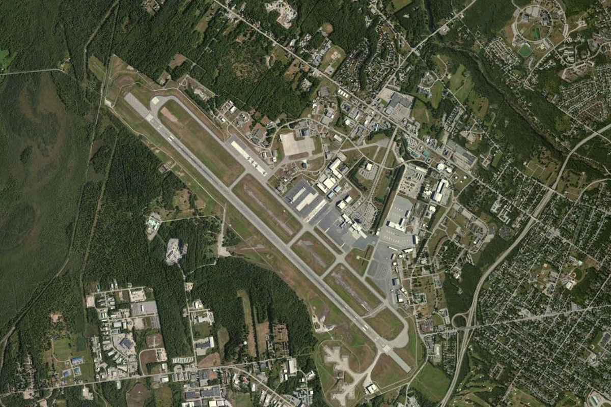
Penobscot River(POI84) to KBGR(KBGR)
Distance: 4.11NM Bearing: 16° 2 minutes
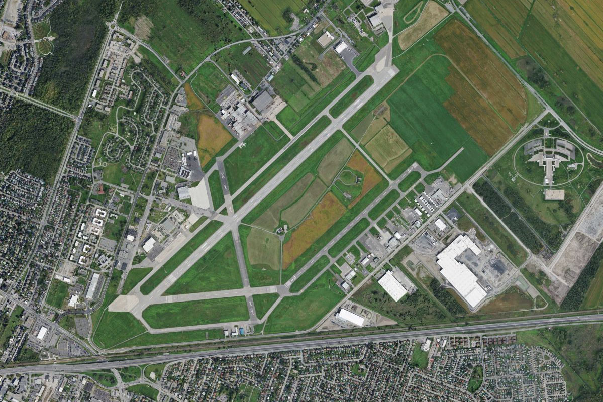
As the river turns northeast towards the city, continue north to Bangor Airport which lies on the city's western outskirts. The airport is located on the major air corridor between Europe and the eastern USA, and is a commonly used diversion airport
Leg 23
Flying from KBGR
Leg Distance: 39.18 Approximate time at 125kts: 19 minutes.
KBGR(KBGR) to Chemo Pond(POI85)
Distance: 10.73NM Bearing: 99° 5 minutes
After takeoff, fly east over the river to the lake beyond
Chemo Pond(POI85) to Lead Mountain(POI86)
Distance: 20.88NM Bearing: 104° 10 minutes
Continue east from the lake, following State Highway 9 as it passes through a small group of hills before heading across flatter land towards another group of hills. As you pass between two lakes south of Lead Mountain, turn southeast
Lead Mountain(POI86) to 43B(43B)
Distance: 7.57NM Bearing: 163° 4 minutes
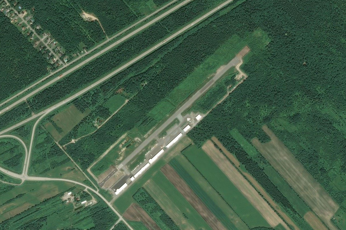
From Lead mountain, head southeast to the large landing strip near the small town of Deblois
Leg 24
Flying from 43B
Leg Distance: 54.42 Approximate time at 125kts: 26 minutes.
43B(43B) to Chandler Bay(POI87)
Distance: 20.41NM Bearing: 134° 10 minutes
After takeoff, fly southeast until you reach the coast at Chandler Bay
Chandler Bay(POI87) to Point of Main(POI88)
Distance: 7.21NM Bearing: 90° 3 minutes
Fly east across the bay and its islands to the southern tip of the peninsula on the opposite side of the bay
Point of Main(POI88) to Sprague Neck(POI89)
Distance: 5.38NM Bearing: 55° 3 minutes
Head northeast across the next bay to the small peninsula north of a large Naval communications facility
Sprague Neck(POI89) to Indian Lake(POI90)
Distance: 5.65NM Bearing: 45° 3 minutes
From the small peninsula, fly northeast across land until you reach Highway 1 heading east
Indian Lake(POI90) to Whiting(POI91)
Distance: 4.48NM Bearing: 71° 2 minutes
Follow Highway 1 to the town of Whiting, which lies at the southern tip of Whiting Bay
Whiting(POI91) to Reversing Falls Park(POI92)
Distance: 5.46NM Bearing: 31° 3 minutes
Follow the bay northeast to where a narrow channel opens out to the east. This waters in this channel reverse direction with the tides and is a popular local tourist attraction, and the area is also the site of Native American settlements
Reversing Falls Park(POI92) to KEPM(KEPM)
Distance: 5.83NM Bearing: 87° 3 minutes
Fly east across the northern tips of two peninsulas to Eastport Airport on Moose Island. The waters north of the town are home to the Old Sow Whirlpool, the largest tidal whirlpool in the western hemisphere
Leg 25
Flying from KEPM
Leg Distance: 49.75 Approximate time at 125kts: 24 minutes.
KEPM(KEPM) to Grand Manan Island(POI93)
Distance: 18.05NM Bearing: 180° 9 minutes
Fly south to the Grand Manan Channel, then across it into Canada and to the southern tip of Grand Manan Island
Grand Manan Island(POI93) to CYYA(CYYA)
Distance: 31.7NM Bearing: 149° 15 minutes
Head southeast over the Bay of Fundy. This bay has the highest tidal range in the world, at over 50 feet. Head to Brier Island, which is the easternmost of a group of long peninsula like islands. The airport is near the center if the island
Leg 26
Flying from CYYA
Leg Distance: 53.22 Approximate time at 125kts: 26 minutes.
CYYA(CYYA) to St Marys Bay(POI94)
Distance: 9.66NM Bearing: 150° 5 minutes
After takeoff, fly southeast over St Marys Bay
St Marys Bay(POI94) to Yarmouth(POI95)
Distance: 24.26NM Bearing: 187° 12 minutes
Follow the coast south all the way to the peninsula south of the large town of Yarmouth
Yarmouth(POI95) to Big Tusket Island(POI96)
Distance: 6.81NM Bearing: 156° 3 minutes
Continue following the island dotted coastline southeast to one of the larger islands, Big Tusket
Big Tusket Island(POI96) to Pubnico(POI97)
Distance: 8.5NM Bearing: 99° 4 minutes
Fly east over Lobster Bay to the narrow Pubnico Peninsula
Pubnico(POI97) to CLE4(CLE4)
Distance: 3.99NM Bearing: 157° 2 minutes
Fly southeast across the peninsula and the narrow waterway, then follow the coast south until you reach the grass airstrip half a mile inland
Leg 27
Flying from CLE4
Leg Distance: 56.91 Approximate time at 125kts: 27 minutes.
CLE4(CLE4) to NS-103(POI98)
Distance: 15.27NM Bearing: 90° 7 minutes
Heading east after takeoff, you will cross highway 103 heading south, before meeting it again as it heads northeast
NS-103(POI98) to Shelburne(POI99)
Distance: 6.49NM Bearing: 52° 3 minutes
Follow the highway northeast past the town of Shelburne, which sits at the north end of Shelburne Harbour
Shelburne(POI99) to Lake Rossignol(POIA0)
Distance: 25.42NM Bearing: 45° 12 minutes
From Shelburne, fly northeast across the Nova Scotia landscape to Lake Rossignol, the largest freshwater lake in the state
Lake Rossignol(POIA0) to CYAU(CYAU)
Distance: 9.73NM Bearing: 77° 5 minutes
From the southeastern corner of the lake, head east to Liverpool Airport, which lies in a forest clearing a mile east of Highway 8
Leg 28
Flying from CYAU
Leg Distance: 77.17 Approximate time at 125kts: 37 minutes.
CYAU(CYAU) to Lunenburg Bay(POIA1)
Distance: 24.29NM Bearing: 90° 12 minutes
After takeoff, fly east until you reach Lunenburg Bay, one of the many coastal bays that open out to the Atlantic Ocean
Lunenburg Bay(POIA1) to East River Point(POIA2)
Distance: 15.27NM Bearing: 44° 7 minutes
Fly northeast across a peninsula, then over Mahone Bay to its eastern shore. Many picturesque towns line the bay
East River Point(POIA2) to St. Margarets Bay(POIA3)
Distance: 9.75NM Bearing: 89° 5 minutes
Fly east over land, then over St. Margarets Bay to the opposite shore
St. Margarets Bay(POIA3) to Halifax(POIA4)
Distance: 14.67NM Bearing: 94° 7 minutes
Continue east over land to Halifax, the capital and largest city in the state of Nova Scotia. A popular tourist city, Halifax has numerous National Historic Sites, including Citadel Hill west of downtown
Halifax(POIA4) to CYHZ(CYHZ)
Distance: 13.19NM Bearing: 32° 6 minutes
Head northeast from the city to Halifax International Airport, the destination for this stage