Welcome to stage 53, and the final part of the arduous Atlantic Crossing. Starting from the east coast of Iceland, you’ll head southeast to the Faroe Islands and a brief stop at the only airport, Vagar. The second part of the stage will head east to the Shetland Islands in Scotland, the northern gateway to the United Kingdom
Total Legs: 2 Total Distance: 468 Total Time(125kts): 3 hours 44 minutes
Leg 1
Flying from BIDV
Leg Distance: 245.62 Approximate time at 125kts: 118 minutes.
BIDV(BIDV) to Papey(POI1)
Distance: 4.32NM Bearing: 144° 2 minutes
After takeoff, fly southeast to the nearby island of Papey, home to large puffin colonies
Papey(POI1) to Faroe Islands(POI2)
Distance: 218.25NM Bearing: 133° 105 minutes
Fly southeast across the North Atlantic on the 200 mile crossing to the Faroe Islands. This island country is a self-governing part of the Kingdom of Denmark
Faroe Islands(POI2) to Mykines(POI3)
Distance: 13.27NM Bearing: 157° 6 minutes
As you near the islands, head to the westernmost point, the island of Mykines
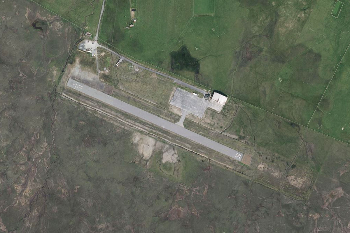
Mykines(POI3) to EKVG(EKVG)
Distance: 9.78NM Bearing: 113° 5 minutes
From Mykines, turn towards the east and fly along the narrow bay towards Vagar Airport, which lies at the eastern end of the bay next to the town of Sørvágur
Leg 2
Flying from EKVG
Leg Distance: 222.83 Approximate time at 125kts: 107 minutes.
EKVG(EKVG) to Koltur(POI4)
Distance: 8.64NM Bearing: 120° 4 minutes
After takeoff, fly southeast (runway heading) towards the nearby island of Koltur. The mountain of Kolturshamar dominates the west of the island
Koltur(POI4) to Suduroy(POI5)
Distance: 20.88NM Bearing: 178° 10 minutes
Head south to the southernmost of the islands, Suðuroy
Suduroy(POI5) to Suduroy(POI6)
Distance: 17.48NM Bearing: 157° 8 minutes
Fly along the length of the island to its southern tip
Suduroy(POI6) to Unst(POI7)
Distance: 170.6NM Bearing: 102° 82 minutes
Fly east on the 170 miles crossing to Unst, the northernmost of the Shetland Islands, which mark the northern extent of the inhabited British Isles
Unst(POI7) to Loch of Cliff(POI8)
Distance: 3.23NM Bearing: 177° 2 minutes
Head for the long, narrow lake near the center of the northern part of the island, then fly to its southern end
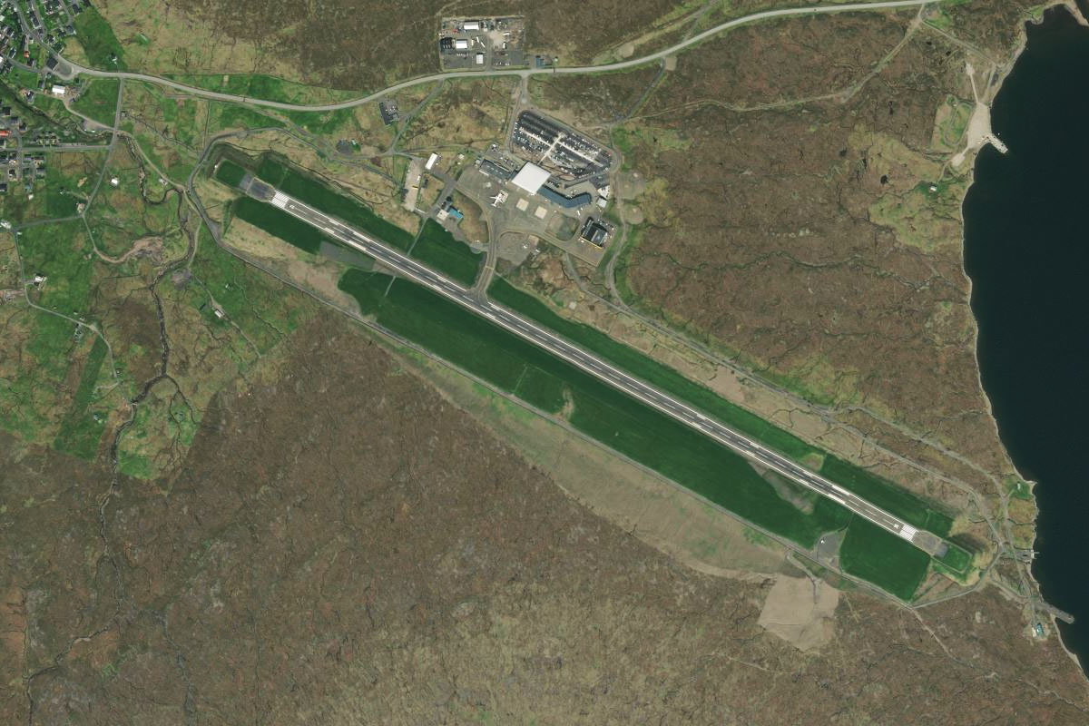
Loch of Cliff(POI8) to EGPW(EGPW)
Distance: 2NM Bearing: 136° 1 minutes
From the lake, fly southeast to Unst airport near the east cost of the island. This completes the Atlantic crossing portion of the world tour