The Three Guianas
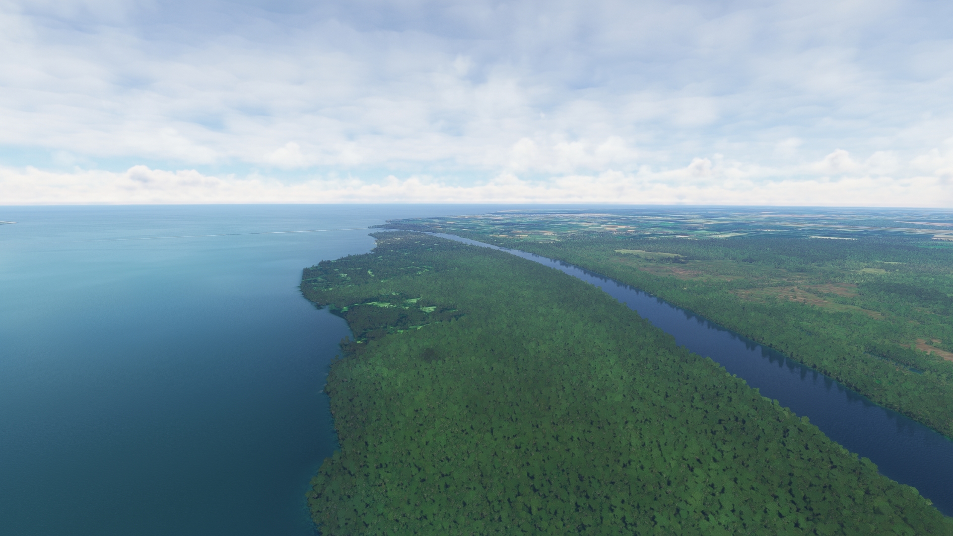
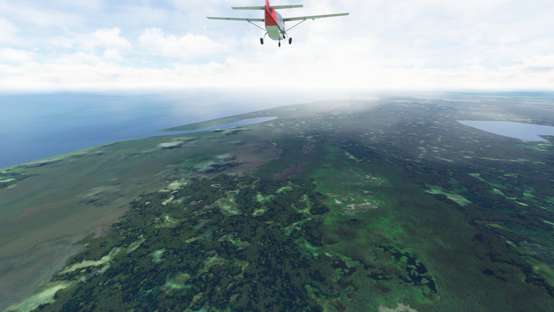
The northern reaches of South America contain some of the most intriguing and beautiful sights on the planet. The region includes the countries of Guyana and Suriname and the French overseas department of French Guiana. The three are bounded on the north by the Atlantic Ocean and on the south by northern Brazil. Each is sparsely populated and dominated by rainforest. Suriname is the smallest country in South America by area and by population. Guyana is the second least populous country on the continent and its third smallest by area. French Guiana is France’s second largest region; its interior is one of the least populated and least accessible in the world. All three are rich in vistas of rainforest, lakes, rivers, and coastlines.
Guyana, which is bordered on its west by Venezuela and on its east by Suriname, was initially inhabited by indigenous agriculturalist tribes. Christopher Columbus, during his third maritime exploration of the New World in 1498, sighted the coastline of what would become Guyana, but did not land. The Dutch established the first European colonies in the late 1500s and the British took control in the late 18th century. Guyana gained independence in 1966 from the United Kingdom and became a sovereign state in 1970. Many British traditions have endured, and English remains its official language. Guyana is one of South America’s most diverse nations, with influences from indigenous cultures, Europe, Asia, Africa, and India.
Suriname, bordered on its east by French Guiana, has a rich early history similar to that of Guyana. Its earliest inhabitants were indigenous people who farmed, hunted, gathered, and fished along the coast. The Dutch began colonizing the area in the 16th century and over the subsequent decades nurtured a plantation economy focused on sugar production. Suriname became an independent country in 1975.
French Guiana, like Guyana and Suriname, was initially populated by indigenous tribes who hunted, practiced agriculture, and fished. The French established their first colony in the region in the early 1500s and eventually fostered a plantation-based economy. It was the location of several penal colonies, most notably Devil’s Island, one of the most infamous prisons in history. Today, French Guiana is a member of the European Union and is renowned as the home of the Guiana Space Center.
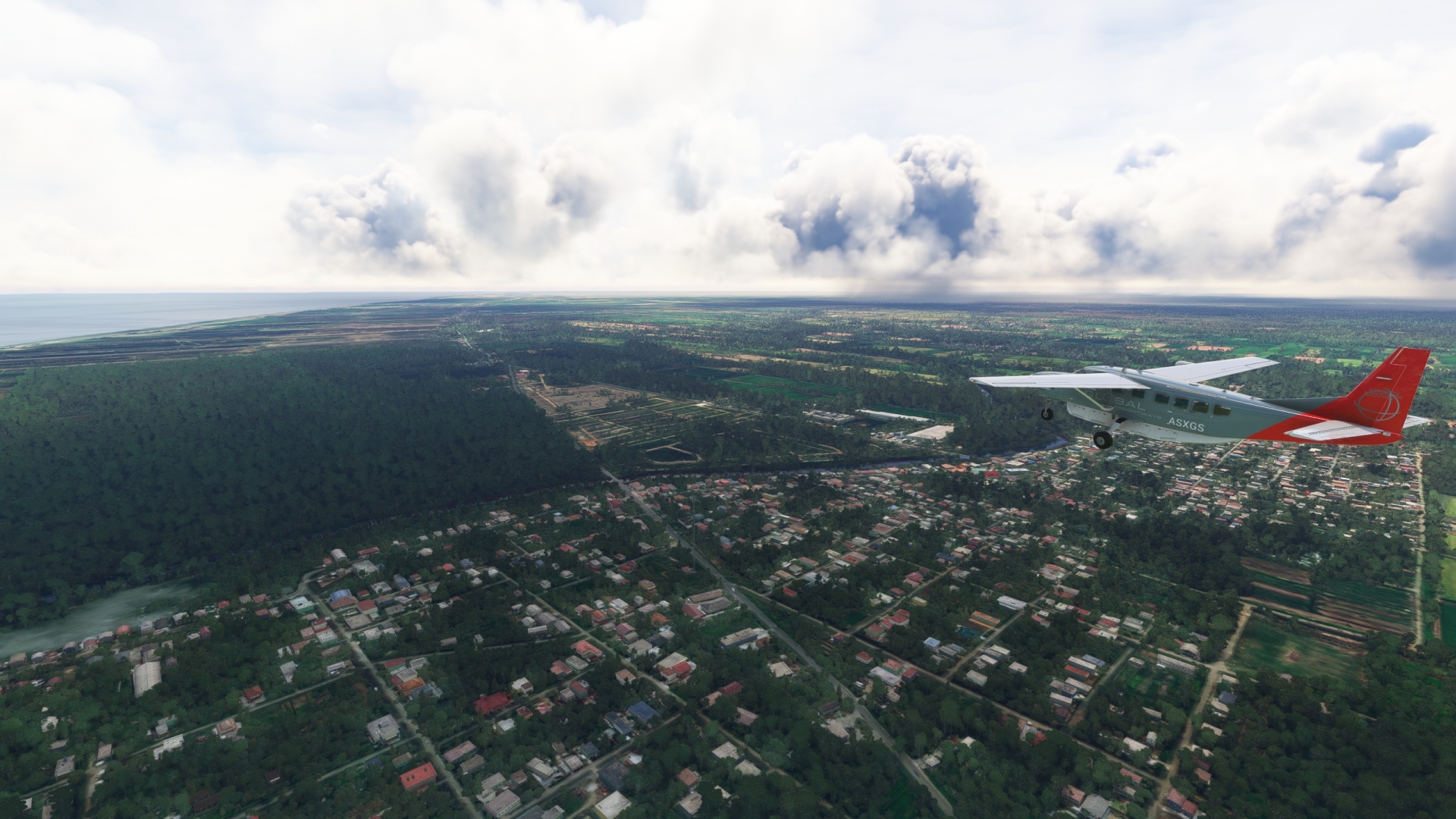
This bush trip visits locations deep within the rainforest as well as along the coast in this wonderfully diverse region. Beginning in far northern Brazil, the route winds through the depths of interior Guyana and then explores the coast of Guyana, Suriname, and French Guiana.
Flight tips
Weather, date and time are customizable. Live weather is preset.
Set your aircraft to "cold and dark" after each landing to end the flight, preferably in one of the parking lots.
Use ATC if you like.
This mission is created as a VFR flight. All necessary information is contained in the Navlog. If necessary, a GPS course is available.
Total Legs: 10 Total Distance: 745 Total Time(125kts): 5 hours 57 minutes
Leg 1
Flugplatz Caramambataí (Mapae) to Kamarang
Leg Distance: 50.24 Approximate time at 125kts: 24 minutes.
Flugplatz Caramambatai (Mapae)(SJKQ) to Monte Roraima(POI1)
Distance: 9.67NM Bearing: 314° 5 minutes
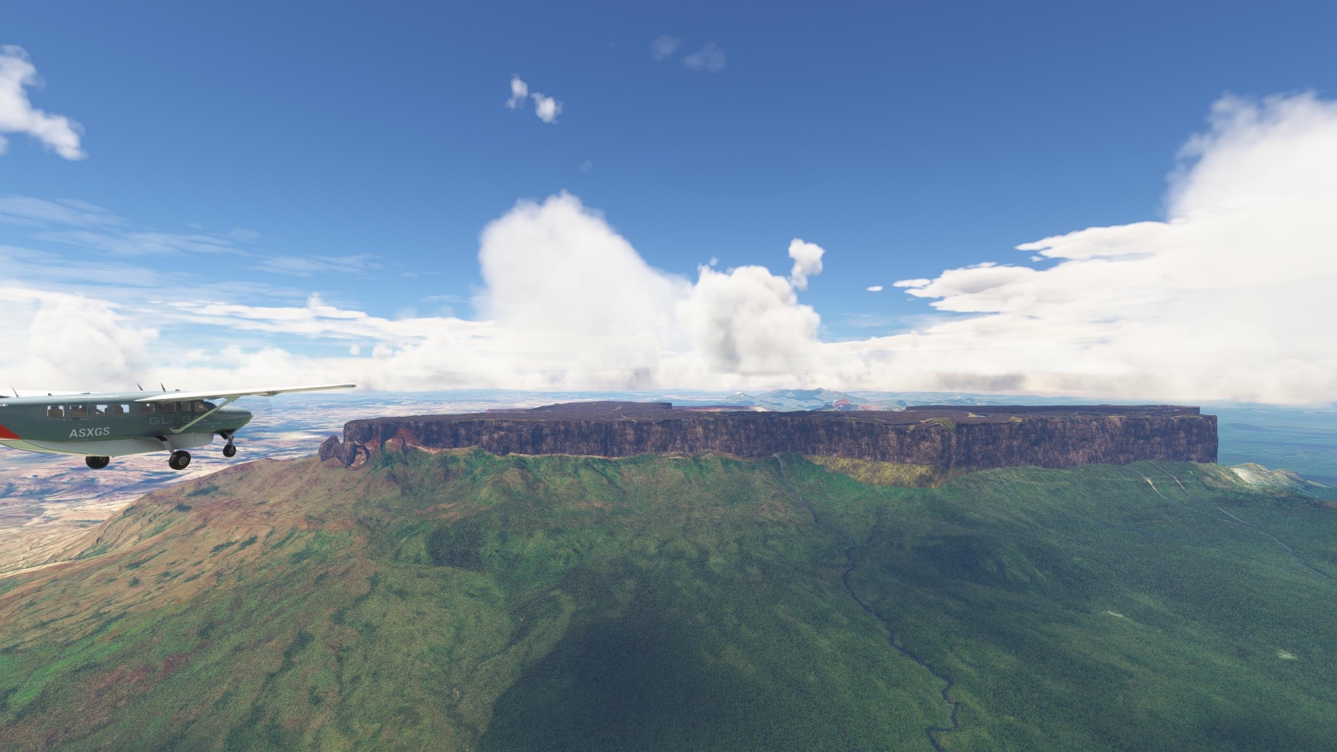
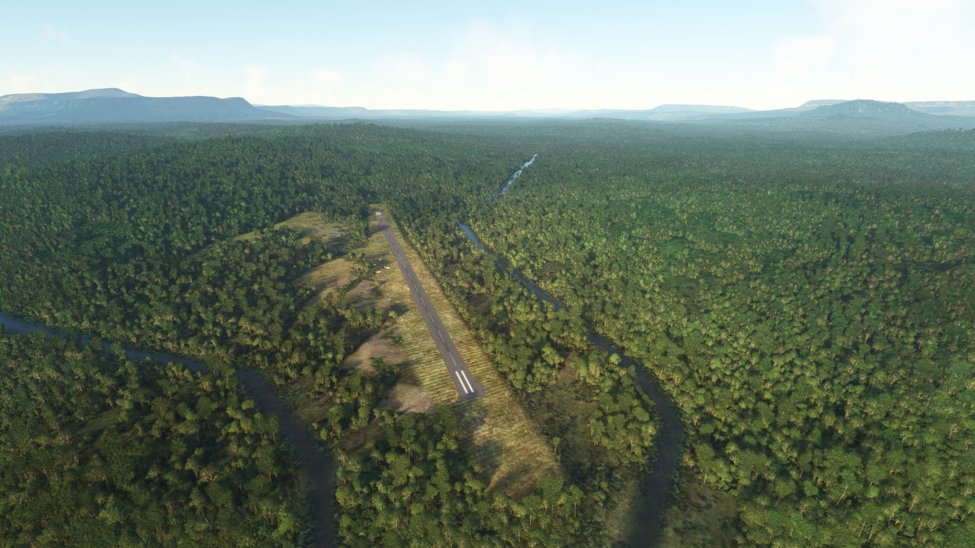
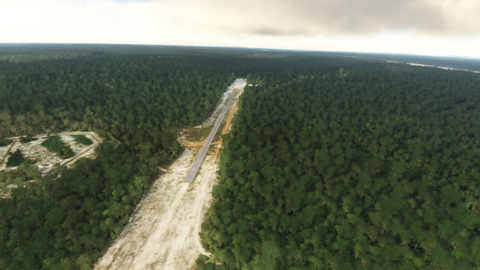
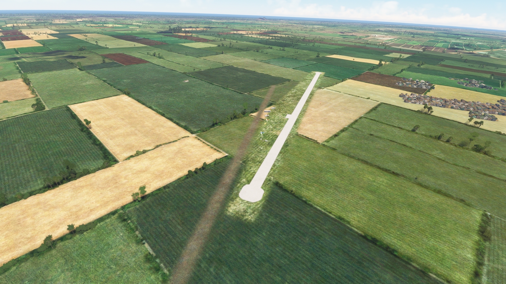
Take-off from Caramambataí (Mapae) Airport (SJKQ) and head in a west-northwest direction. The tiny airstrip is the northernmost airport in Brazil and lies near the northern edge of the Amazon rainforest. Follow the general course of the Cotingo River, remaining to its south, and gain a visual on the prominent mountain to the west-northwest, Monte Roraima (Spanish for Mount Roraima). Head directly toward Monte Roraima (altitude 9,219 feet above sea level), climbing to an altitude of 9,500 feet above sea level.
Located where the borders of Brazil, Venezuela, and Guyana meet, Monte Roraima is a large plateau called a tepui and is the highest point in the country of Guyana. Its summit is home to a wide variety of plant and animal species that exist only there.
Monte Roraima(POI1) to Kamarang(SYKM)
Distance: 40.57NM Bearing: 26° 19 minutes
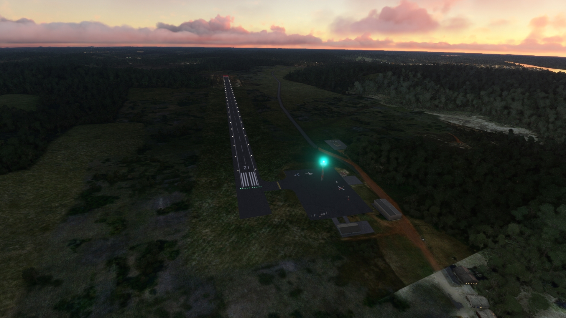
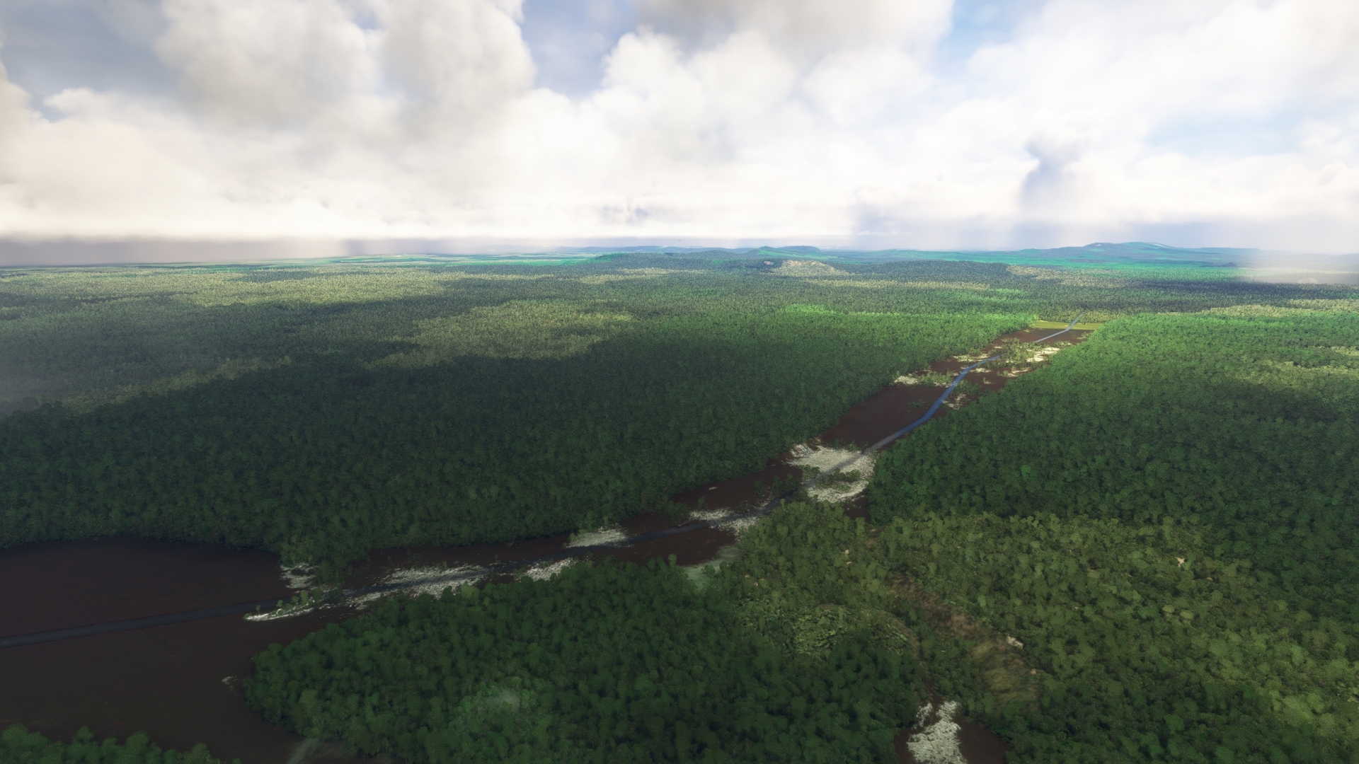
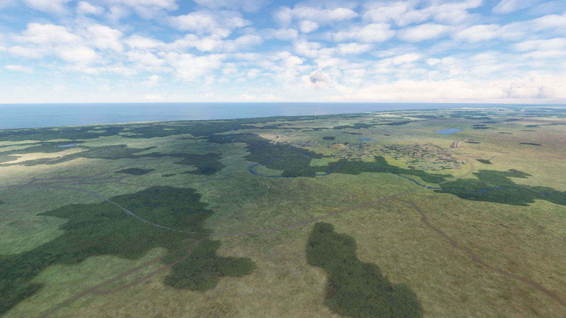
Once over Monte Roraima, turn to the north and tune the aircraft’s ADF receiver to the NDB Kamarang (KAM), 406.0 kHz. Fly into the central Guyana region of Cuyuni-Mazaruni and pass over vast sweeps of the northern Amazonian rainforest. This section of South America is one of the least populated regions on the planet. Gain a visual on the Mazaruni River, which flows south-to-north along a series of broad meanders. Kamarang Village is located where the Kamarang River joins the Mazaruni River from the west. Kamarang Airfield (SYKM) is located on the southern banks of the Kamarang River just west of the Mazaruni River. Land at the airstrip.
Leg 2
Kamarang to Bartica A Airport
Leg Distance: 120.89 Approximate time at 125kts: 58 minutes.
Kamarang(SYKM) to Matzaruni River(POI2)
Distance: 43.7NM Bearing: 90° 21 minutes
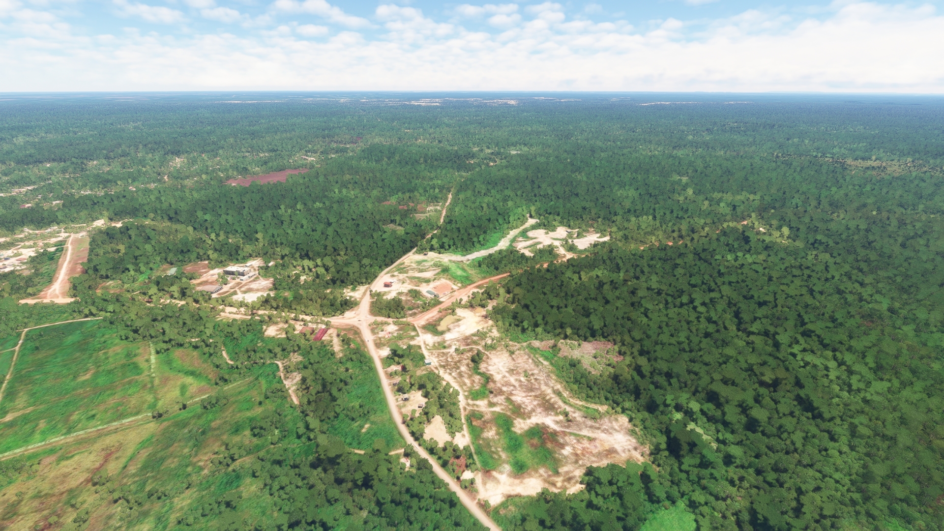
Lift off from Kamarang Airfield and set a course due east. Pass over the Mazaruni River and continue on course over the dense rainforest. The Mazaruni River traces a path to the north from Kamarang Village and then loops around to the south again farther to the east. Stay on your easterly course to reach the river again. The area through which the Mazaruni runs has several gold mines and the river is the primary route for miners to access the region.
Matzaruni River(POI2) to Bartica A Airport(SYBT)
Distance: 77.19NM Bearing: 93° 37 minutes
Track the route of the Mazaruni to the south and continue following it around to the northeast to its triple juncture with the Cuyuni River and the Essequibo River. The Essequibo is the largest river in Guyana and one of the largest in South America. It empties into the Atlantic Ocean 45 miles north of its confluence with the Mazaruni and the Cuyuni. Gain a visual on the city of Bartica, located on a point of land where the Mazaruni and the Cuyuni join the Essequibo. Land at Bartica Airport (SYBT), located to the south-southwest of Bartica to the east of the bank of the Mazaruni River.
Leg 3
Bartica A Airport to Eugene F. Correia International
Leg Distance: 58.06 Approximate time at 125kts: 28 minutes.
Bartica A Airport(SYBT) to Fort Zeelandia(POI3)
Distance: 26.92NM Bearing: 36° 13 minutes
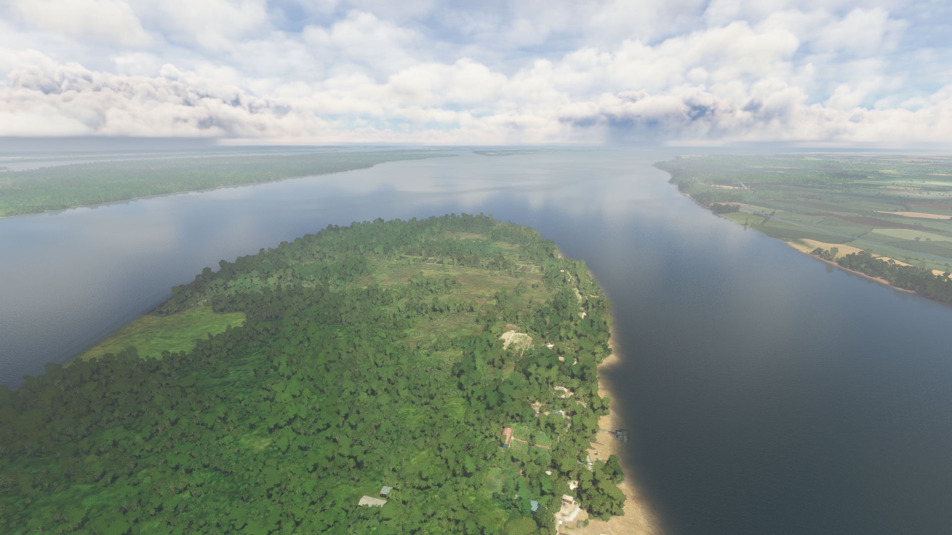
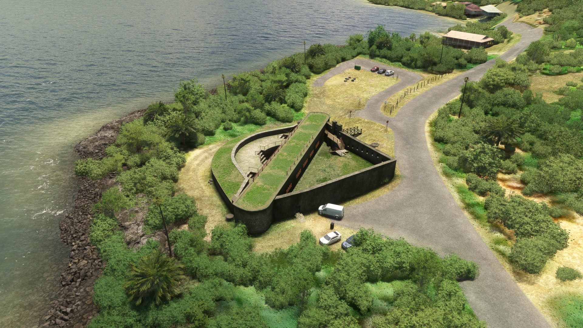
Take-off from Bartica Airport and fly to the north, passing over the city of Bartica and the confluence of the rivers. Follow the eastern bank of the Essequibo River and a gain a visual on a series of long, narrow islands. The largest of these is Hogg Island at over 20 square miles. Gain a visual on Fort Island, located to the east of the southern end of Hogg Island. Pass over Fort Zeelandia, located on Fort Island’s northeastern end. Fort Zeelandia was originally constructed in the early 1700s as part of the Essequibo Colony, a Dutch outpost.
Fort Zeelandia(POI3) to Meten-Meer-Zorg(POI4)
Distance: 12.56NM Bearing: 79° 6 minutes
From Fort Zeelandia, continue following the eastern bank of the Essequibo River into the heart of its estuarine delta. Pass the villages of Sparta, Parika, and Farm and then reach the town of Meten-Meer-Zorg. The town dates to the 1870s and was founded to serve a large sugar plantation in the area.
Meten-Meer-Zorg(POI4) to Vreed en Hoop(POI5)
Distance: 9.31NM Bearing: 135° 4 minutes
Follow the Atlantic coastline to the southeast to the mouth of the Demerara River, which has its origins deep in Guyana’s interior highlands. Pass over the town of Vreed en Hoop (“Peace and Hope”) on the west bank of the river’s mouth. The town dates to the late 1700s and was named after a local plantation. Vreed en Hoop lies across the mouth of the Demerara River from Georgetown, Guyana’s capital city.
Vreed en Hoop(POI5) to Demerara Harbour Bridge(POI6)
Distance: 2.38NM Bearing: 192° 1 minutes
Turn to the south at Vreed en Hoop and follow the Demerara River to the Demarara Harbour Bridge. The pontoon bridge spans the lower Demara River.
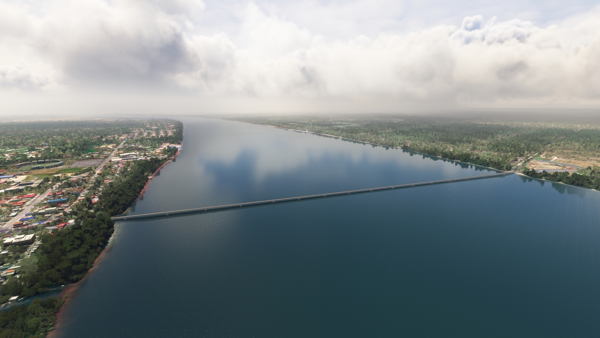
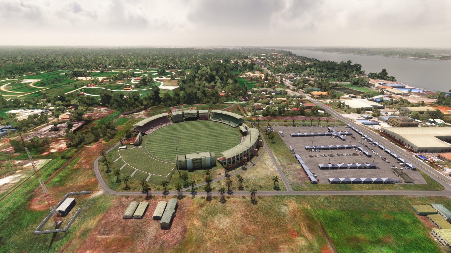
Demerara Harbour Bridge(POI6) to Providence Stadium(POI7)
Distance: 0.65NM Bearing: 185° 0 minutes
Continue to the south to reach Providence Stadium, located inland of the eastern bank of the Demerara River just south of the Demerara Harbour Bridge. The stadium is the national stadium of Guyana and was constructed for the 2007 ICC (International Cricket Council) Cricket World Cup.
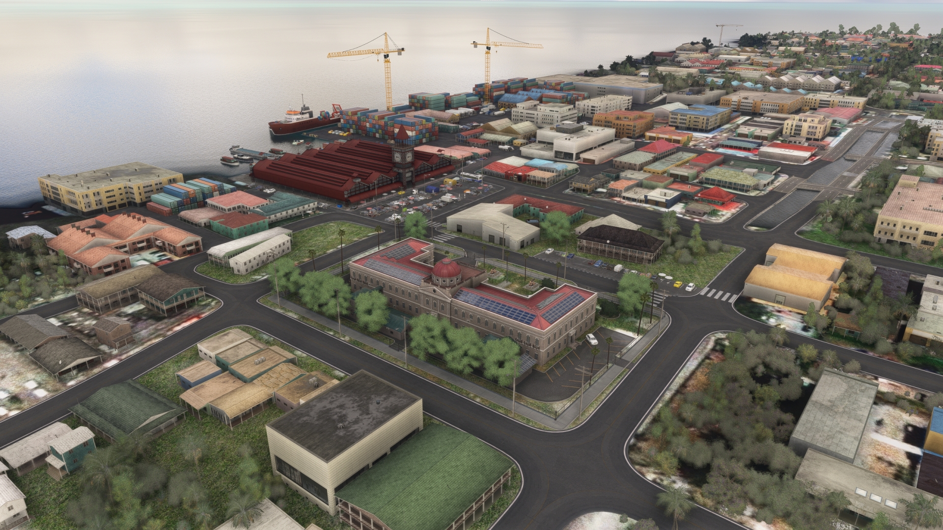
Providence Stadium(POI7) to Georgetown(POI8)
Distance: 3.14NM Bearing: 37° 2 minutes
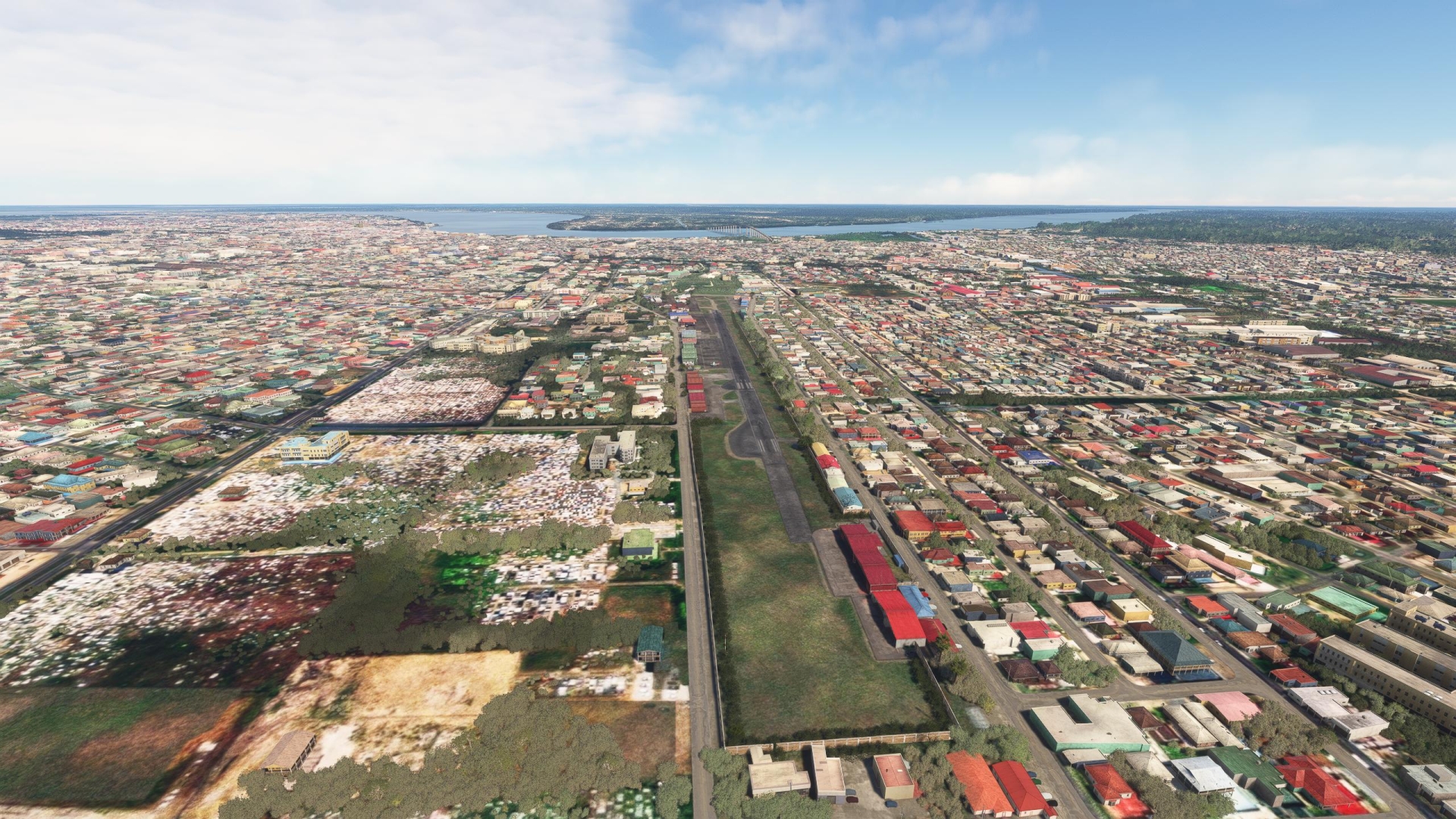
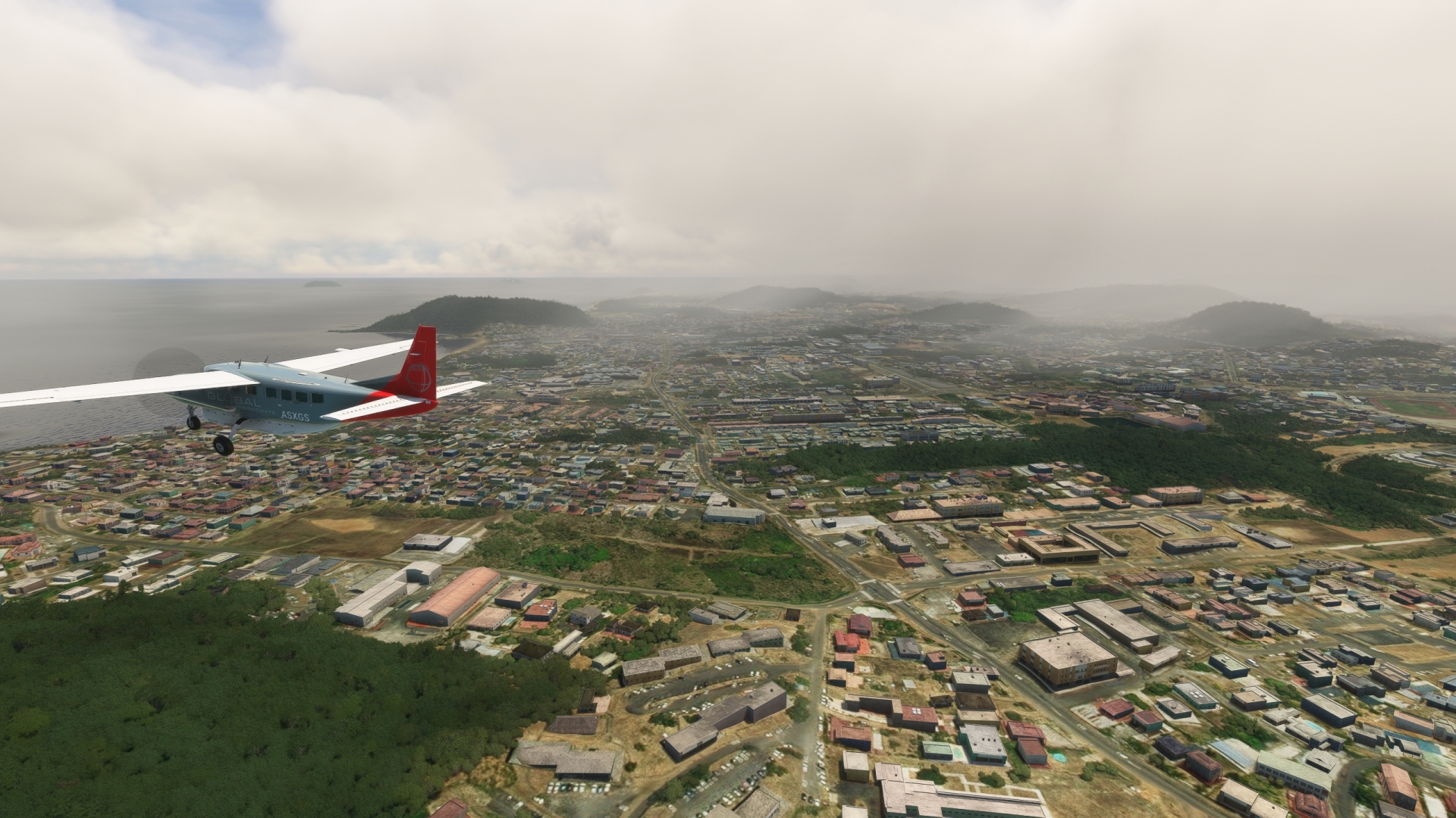
Fly a 180-degree turn to the north and follow the eastern bank of the Demarara River to downtown Georgetown. In addition to being the capital city of Guyana, Georgetown is the most populous city and the country’s center of finance and trade. Georgetown offers numerous sights, including the Parliament Building, St. George’s Cathedral, the Georgetown Lighthouse, the Queenstown Mosque, and the Stabroek Market.
Georgetown(POI8) to Eugene F. Correia International(SYEC)
Distance: 3.1NM Bearing: 108° 1 minutes
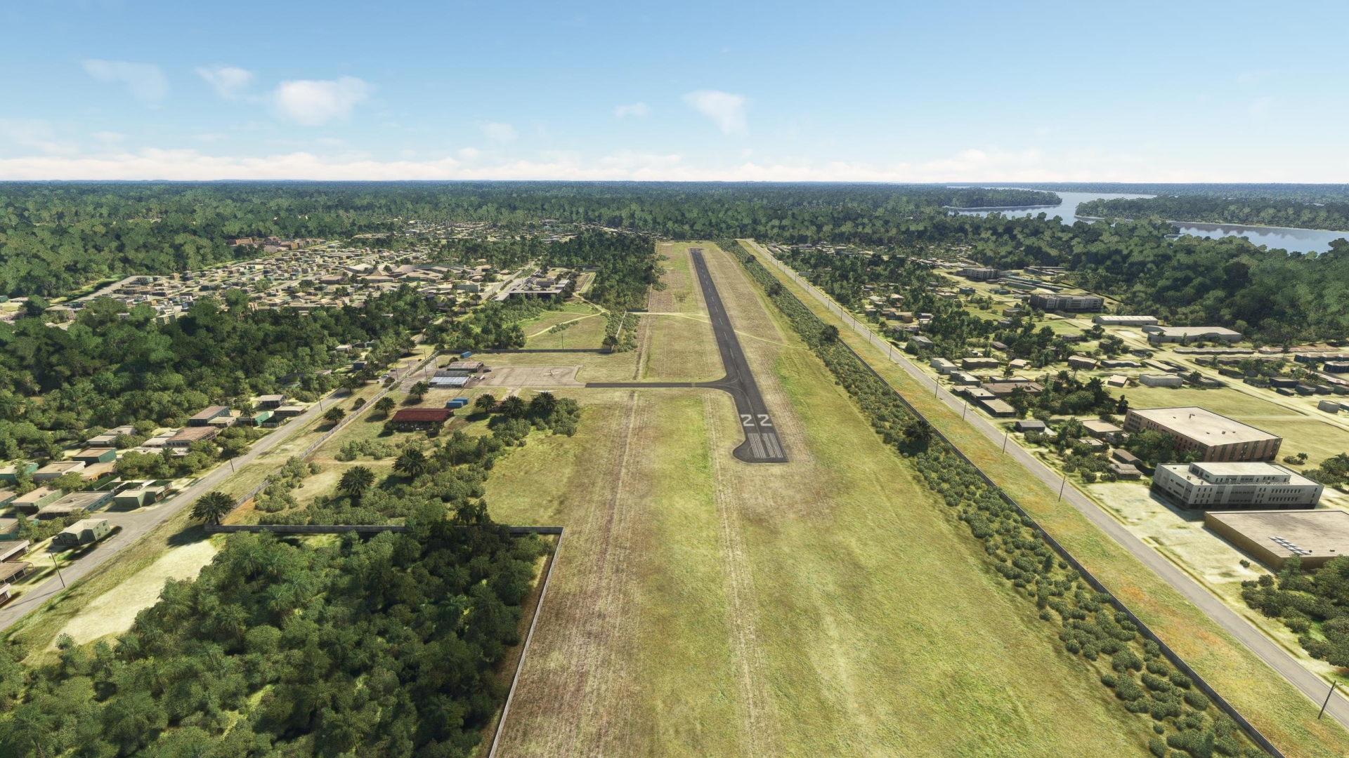
After exploring Georgetown, turn east over the city center to sight and land at Eugene F. Correia International Airport (SYEC).
Leg 4
Eugene F. Correia International to New Amsterdam Airport
Leg Distance: 51.7 Approximate time at 125kts: 25 minutes.
Eugene F. Correia International(SYEC) to Mahaica(POI9)
Distance: 13.59NM Bearing: 142° 7 minutes
After take-off, head to the east and track the Atlantic coastline, remaining inland of the shore. Pass several small villages, including Buxton, Paradise, and Nabaclis. Pass over the village of Mahaica, located along the Mahaica River just inland of its juncture with the Atlantic.
Mahaica(POI9) to Fort Wellington(POI10)
Distance: 25.48NM Bearing: 148° 12 minutes
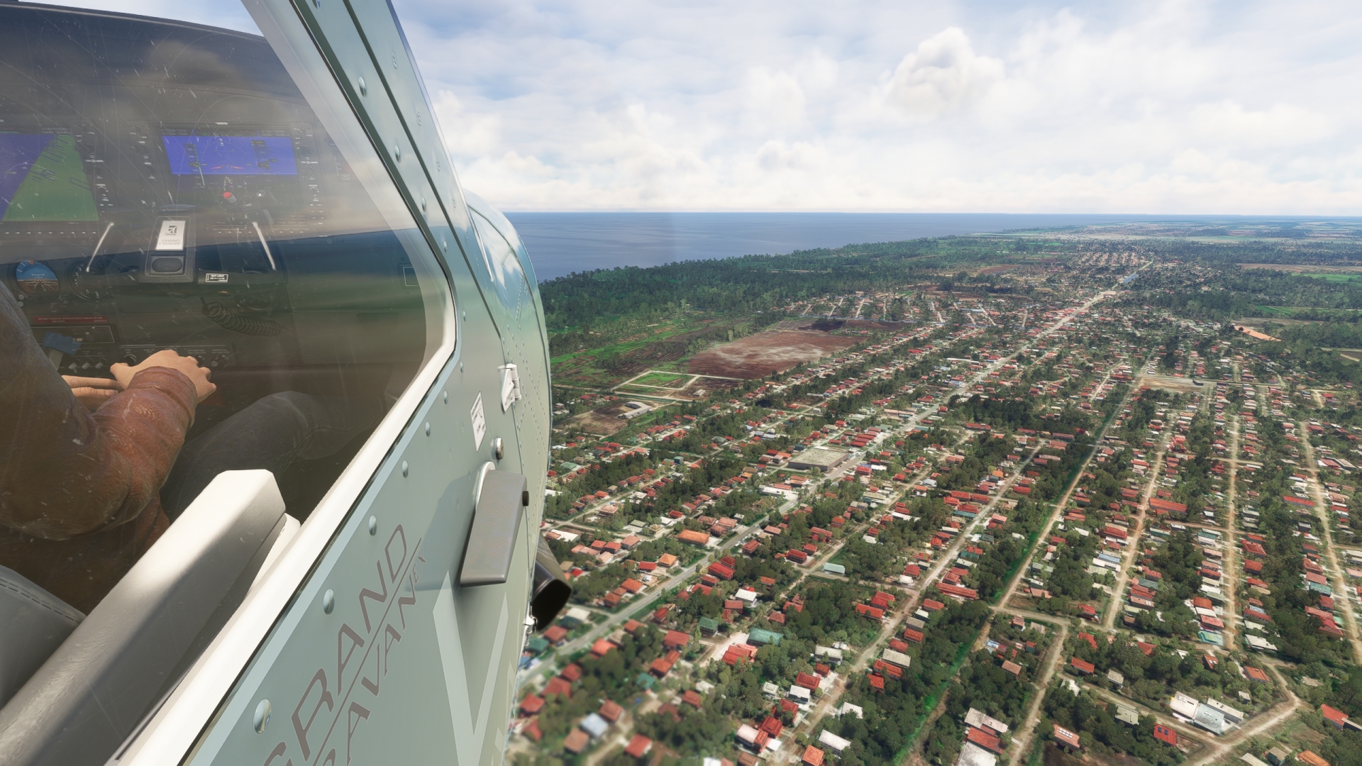
Continue flying along the coastline, remaining just inland. The Atlantic coast of Guyana is home to 90 percent of the country’s inhabitants. The coastal population is spread throughout numerous towns, villages, and a small number of cities. Pass over Fort Wellington, a coastal town known for its plantation history.
Fort Wellington(POI10) to Berbice Bridge(POI11)
Distance: 8.1NM Bearing: 166° 4 minutes
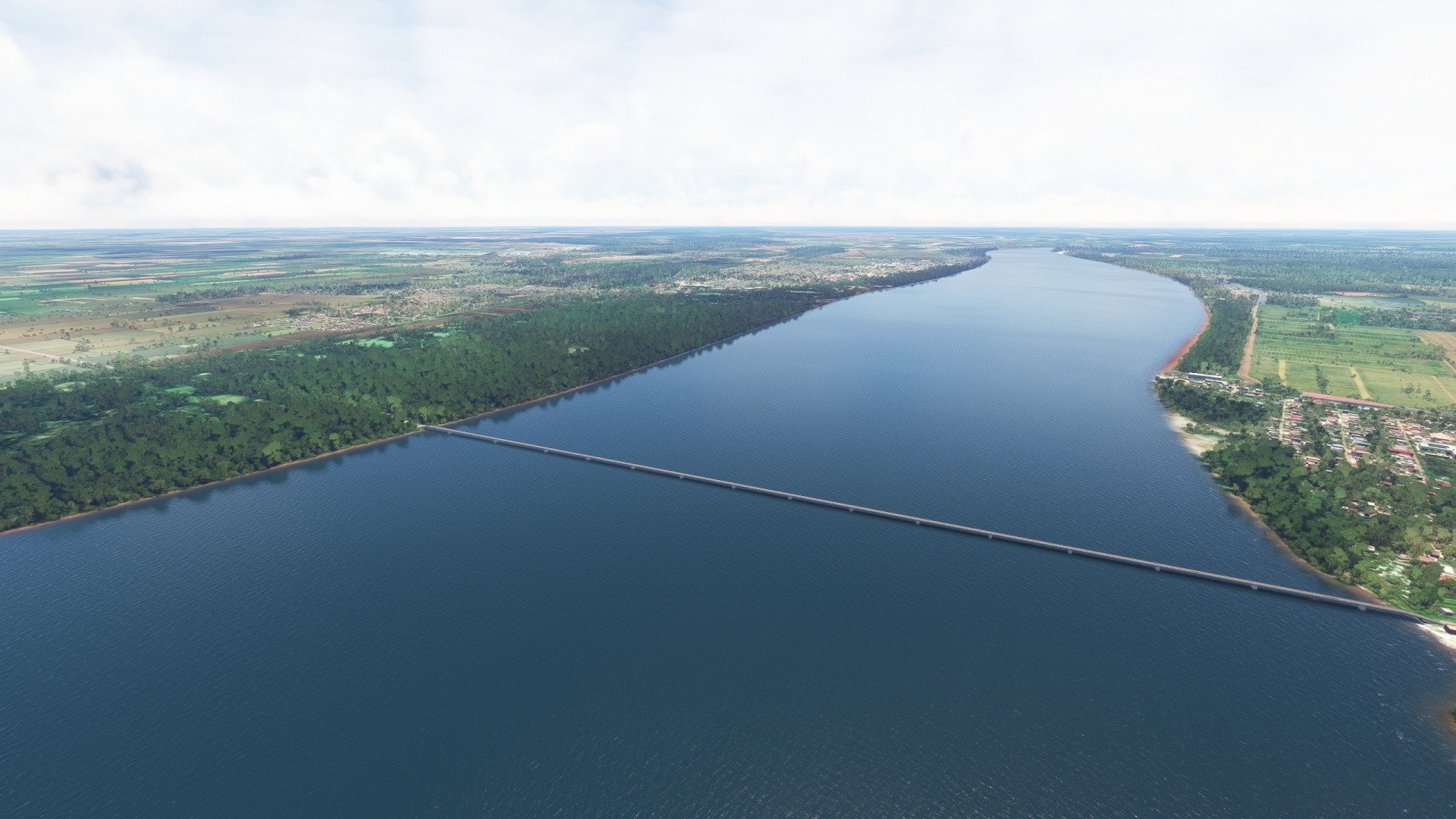
Continue following the coastline to the southeast. Fly over the western margin of the mouth of the Berbice River. The Berbice River, named after the Dutch colony Berbice, is one of the longest rivers in Guyana at over 350 miles. Fly over the Berbice Bridge, a pontoon bridge that spans the Berbice River.
Berbice Bridge(POI11) to New Amsterdam(POI12)
Distance: 2.11NM Bearing: 173° 1 minutes
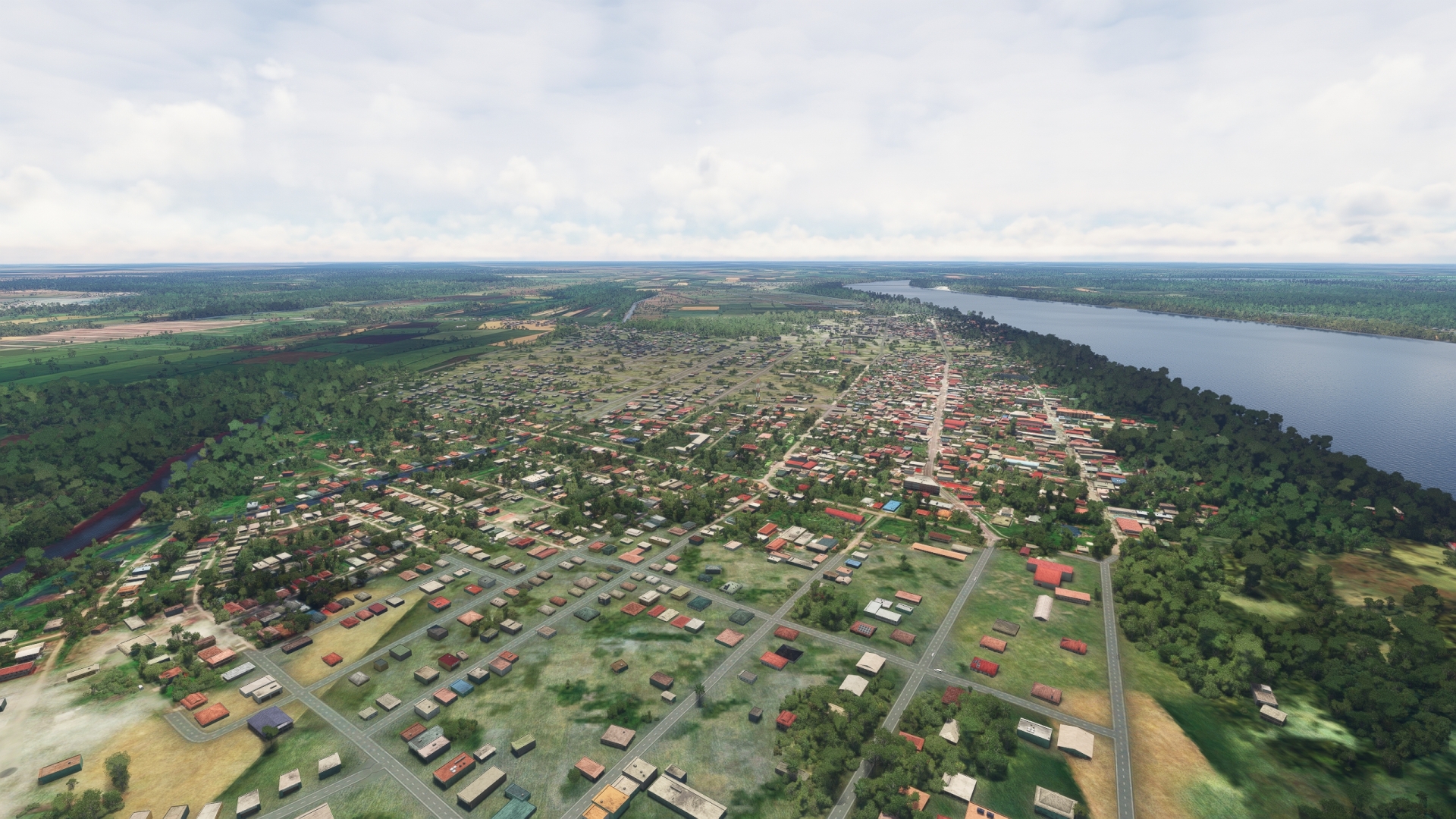
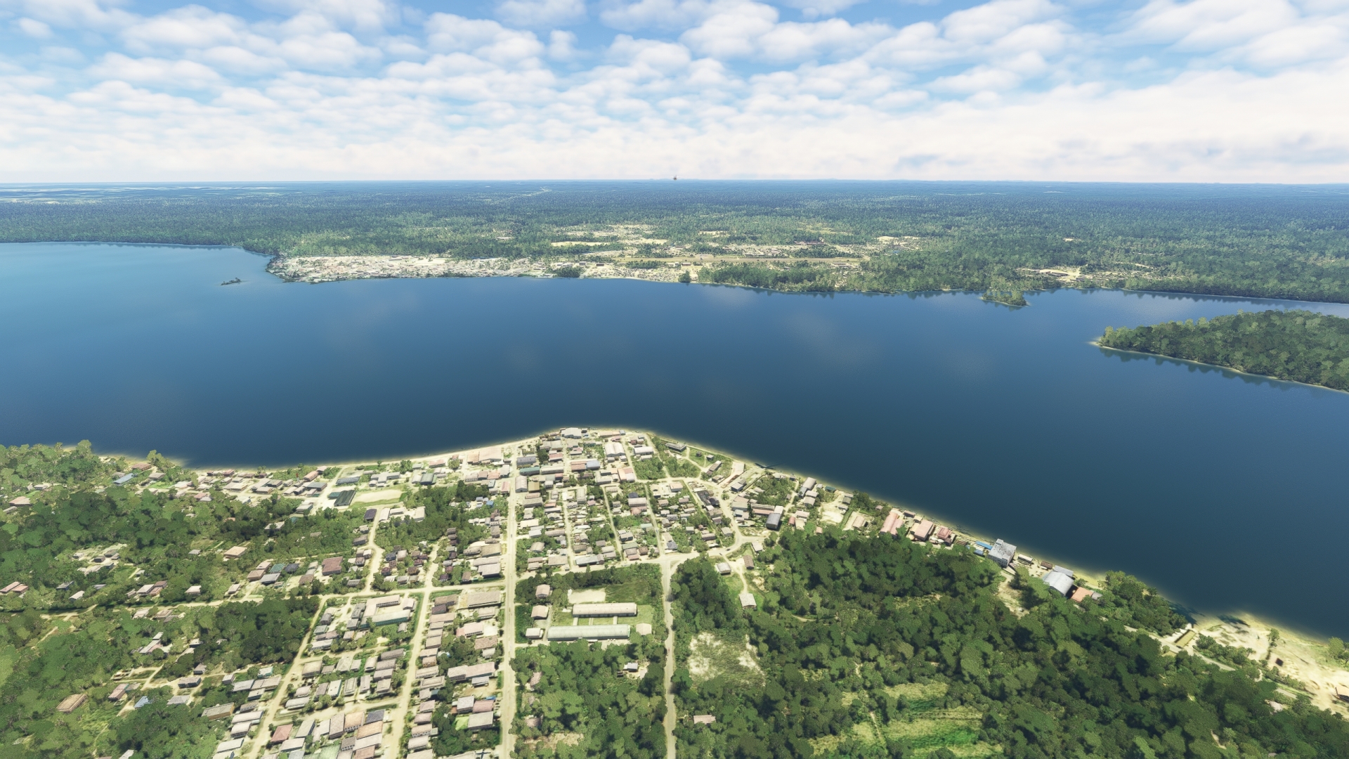
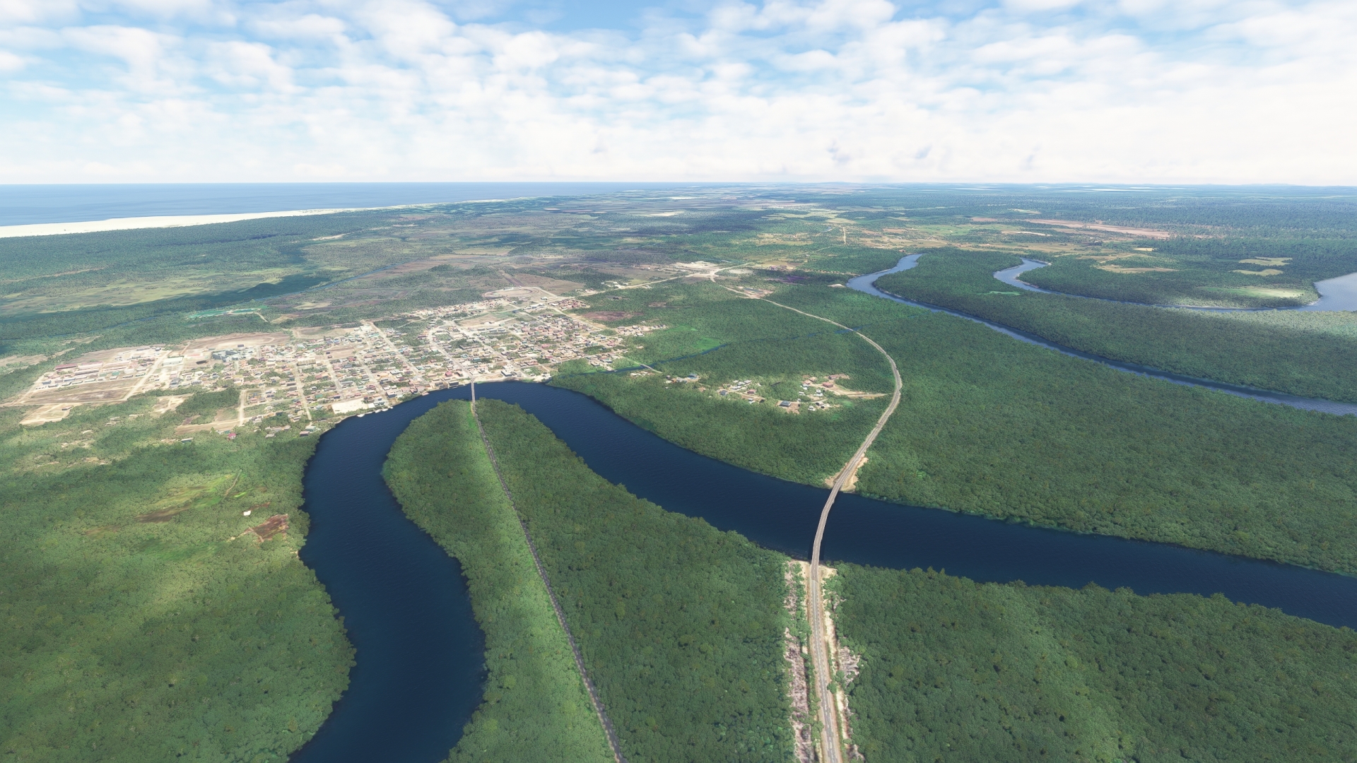
Continue on course to New Amsterdam, one of the few cities in Guyana. The Dutch established New Amsterdam in 1740 and it became the seat of the colonial government in 1790. It was then seized by the British in 1803. Today, New Amsterdam is a regional center of trade and finance supporting the area’s agriculture-based economy.
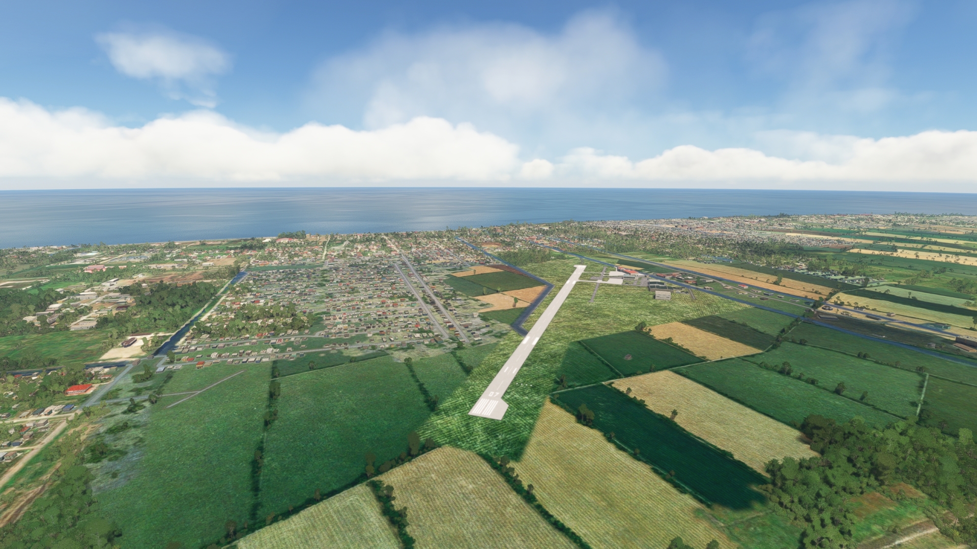
New Amsterdam(POI12) to New Amsterdam Airport(SYNA)
Distance: 2.42NM Bearing: 114° 1 minutes
Gain a visual on New Amsterdam Airport (SYNA), located just to the east of New Amsterdam. Touch down at New Amsterdam Airport to end this leg of the journey.
Leg 5
New Amsterdam Airport to Maj. Fernandes
Leg Distance: 52.86 Approximate time at 125kts: 25 minutes.
New Amsterdam Airport(SYNA) to Belvedere(POI13)
Distance: 6.49NM Bearing: 96° 3 minutes
Lift off from New Amsterdam Airport and set a course to the northeast, heading to the coastline. Pass over Belvedere, one of several small villages along this strip of coastline. These villages have roots in the area’s former plantations and today they are supported by regional agriculture and trade.
Belvedere(POI13) to Corriverton(POI14)
Distance: 25.79NM Bearing: 165° 12 minutes
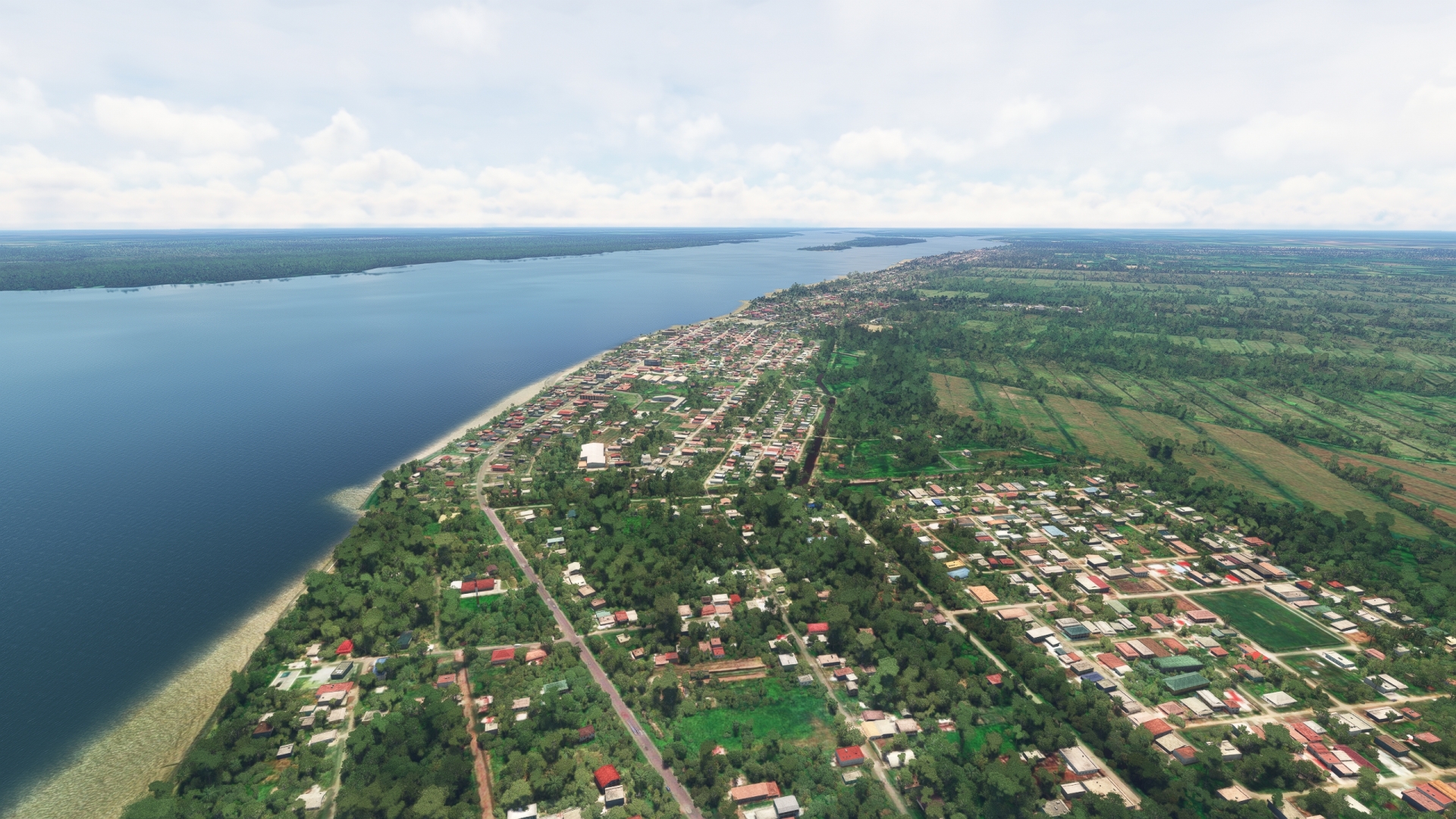
Track the coastline to the southeast to reach the western bank of the Courantyne River delta. The Courantyne is the longest river in Suriname and forms the border between Guyana and Suriname. The river originates in the Acarai Mountains deep in the interior of Guyana and has a number of rapids and waterfalls along its length. Pass over Corriverton on the river’s western bank. Corriverton is the easternmost town in Guyana and is known for its diverse mix of cultures.
Corriverton(POI14) to Moleson Creek(POI15)
Distance: 7.41NM Bearing: 212° 4 minutes
Follow the western bank of the Courantyne River to the town of Moleson Creek. The town is home to a ferry that connects Guyana with Suriname.
Moleson Creek(POI15) to Papegaaien Island(POI16)
Distance: 5.18NM Bearing: 60° 2 minutes
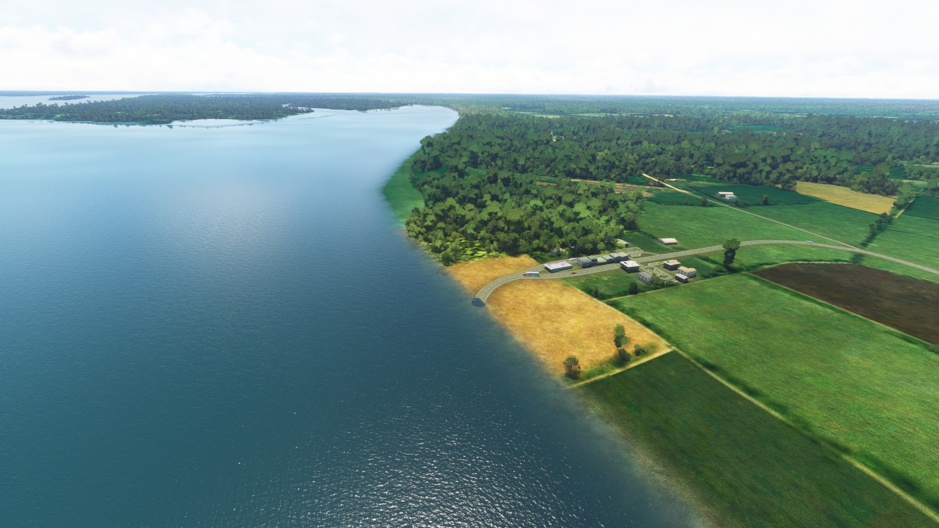
After overlying the town of Moleson Creek, turn to the northeast and head over the Courantyne River to enter Suriname. Fly over a small, low island, Vassen Island, and then reach Papegaaien Island. Papegaaien Island is an uninhabited nature reserve.
Papegaaien Island(POI16) to Maj. Fernandes(SMNI)
Distance: 7.99NM Bearing: 49° 4 minutes
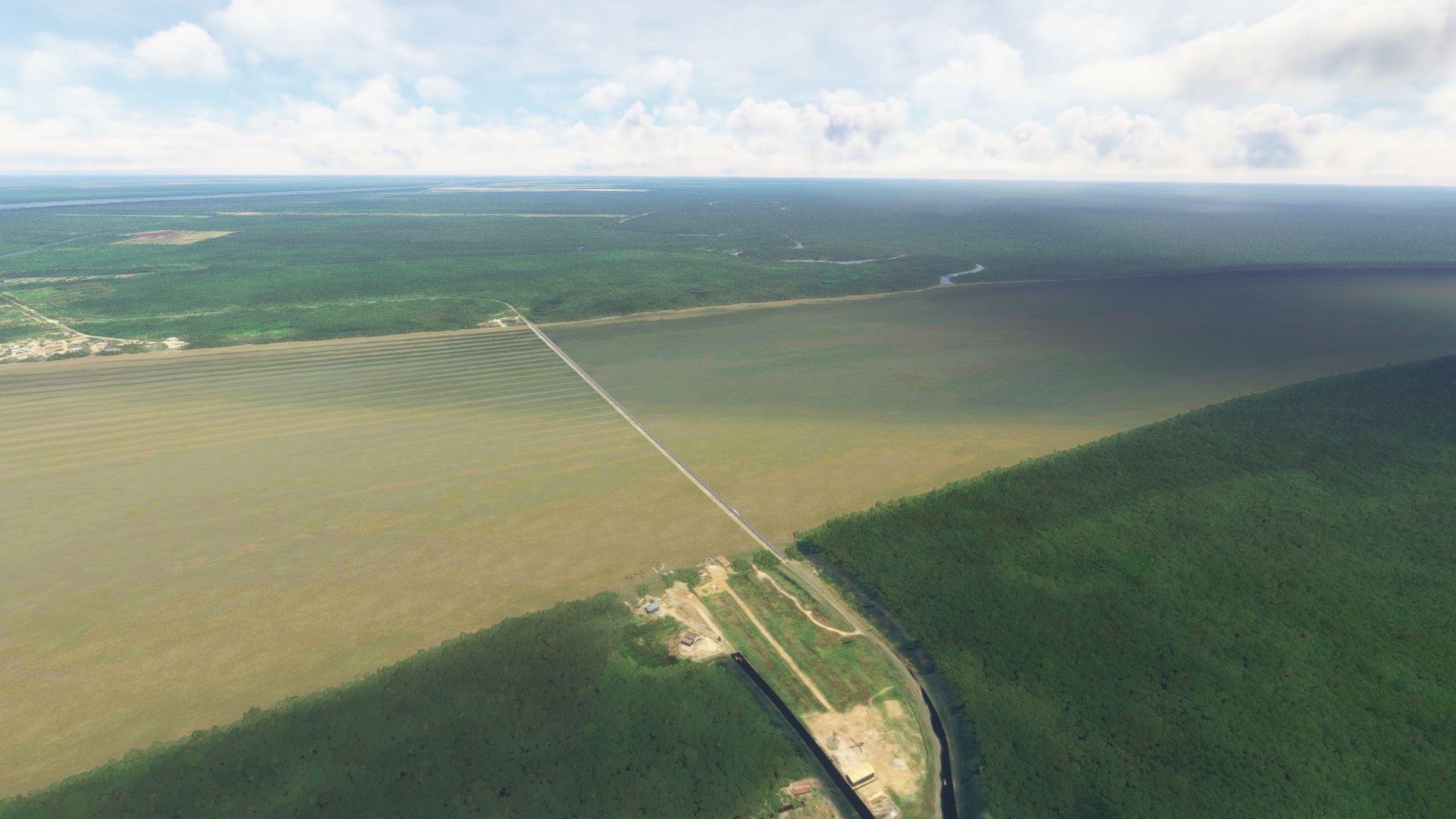
Fly along the length of Papegaaien Island and then gain a visual on Major Henk Fernandes Airport (SMNI), located on the eastern bank of the Courantyne River Delta. Pass over the western edge of extensive rice fields and then land at SMNI to bring this leg of the trip to an end.
Leg 6
Maj. Fernandes to Flugplatz Totness
Leg Distance: 43.56 Approximate time at 125kts: 21 minutes.
Maj. Fernandes(SMNI) to Nieuw Nickerie(POI17)
Distance: 3.38NM Bearing: 123° 2 minutes
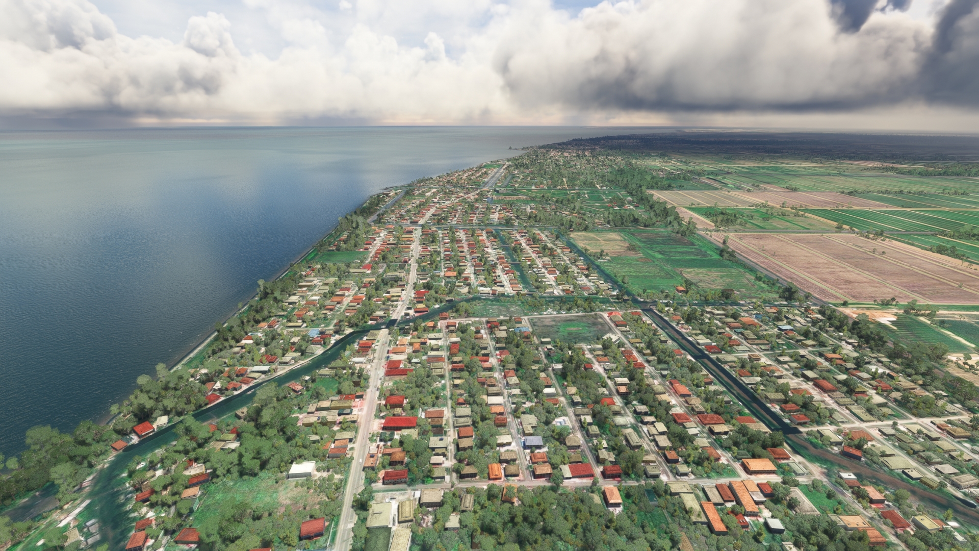
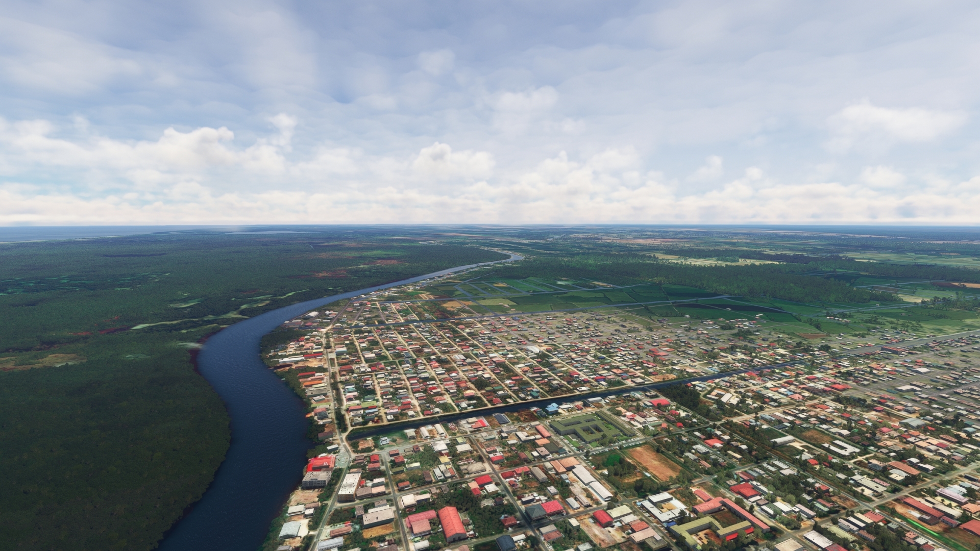
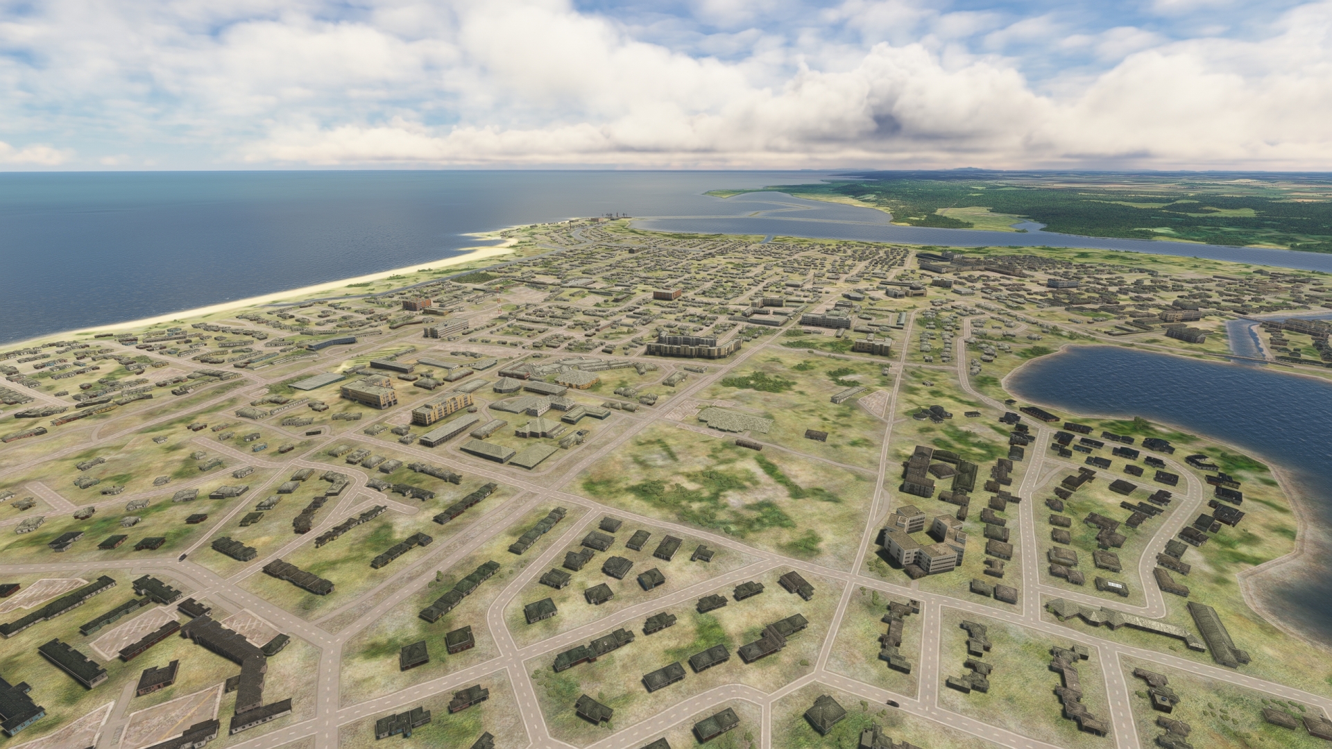
Lift off from Major Henk Fernandes Airport and set a course to the east, following the path of the Nickerie River, remaining to its south. Pass over the northern edge of extensive rice fields just to the south of the river. Rice is an important crop in this part of Suriname and much of the production is exported. Fly over the town of Nieuw Nickerie, the third largest in Suriname and a center of rice and banana cultivation.
Nieuw Nickerie(POI17) to Bigi Pan Nature Reserve(POI18)
Distance: 7.77NM Bearing: 97° 4 minutes
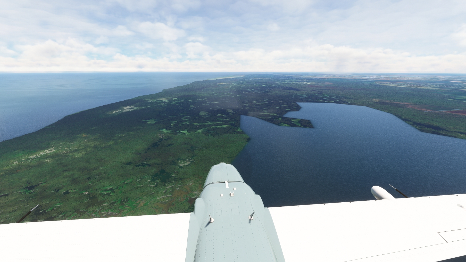
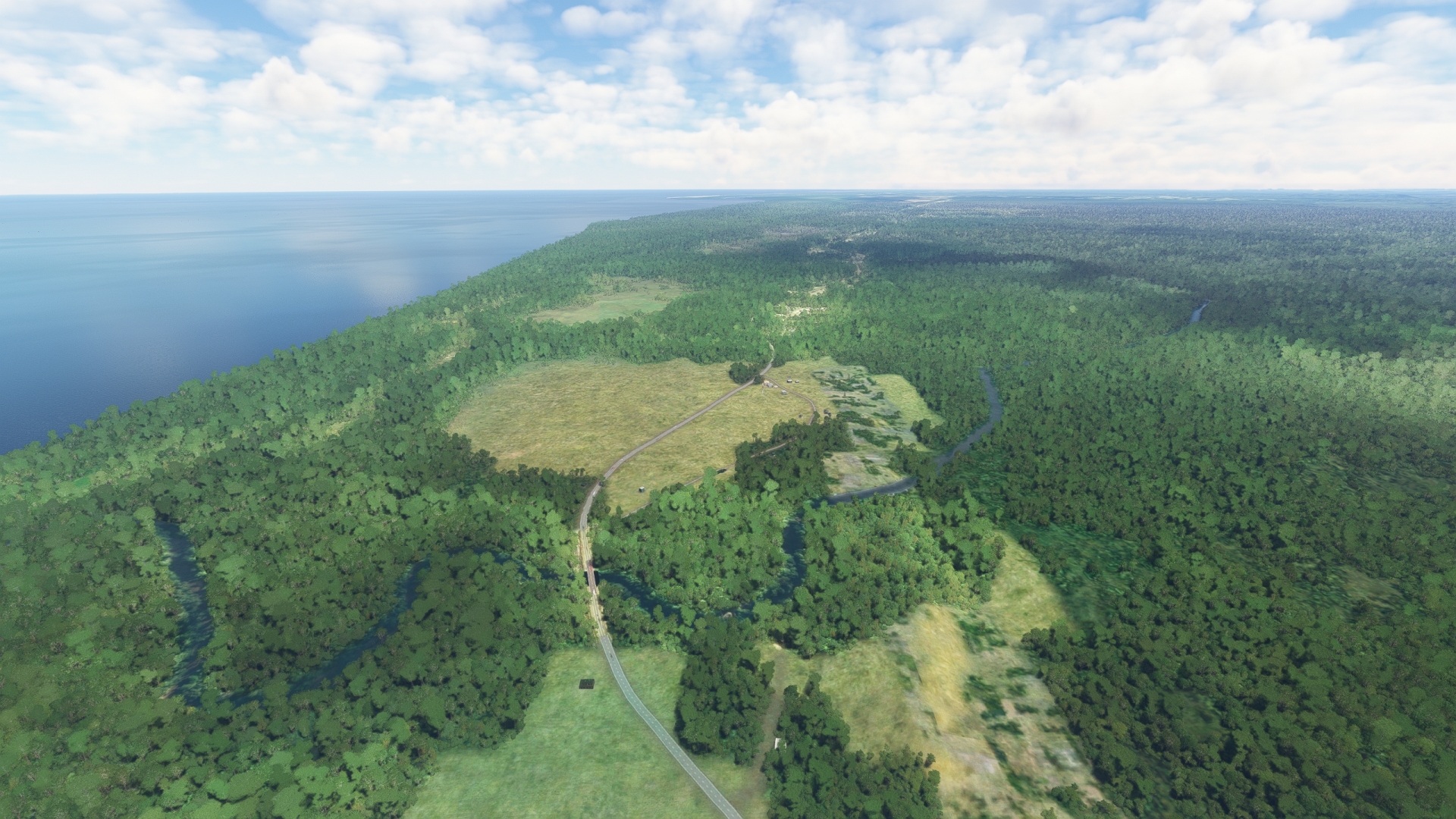
Turn to the northeast over Nieuw Nickerie and sight Bigi Pan, a lake that is nestled between the Atlantic coastline and the area’s extensive rice fields. Bigi Pan is protected as a nature reserve for its broad diversity of bird and animal species. These include wood stork, scarlet ibis, white-tailed deer, and jaguar.
Bigi Pan Nature Reserve(POI18) to Hertenrits Nature Reserve(POI19)
Distance: 11.64NM Bearing: 109° 6 minutes
Once at Bigi Pan Nature Reserve, turn due east and parallel the coastline, to reach Hertenrits Nature Reserve. The reserve protects several significant archaeological sites, mangroves, and habitat for birds, amphibians, reptiles, and mammals.
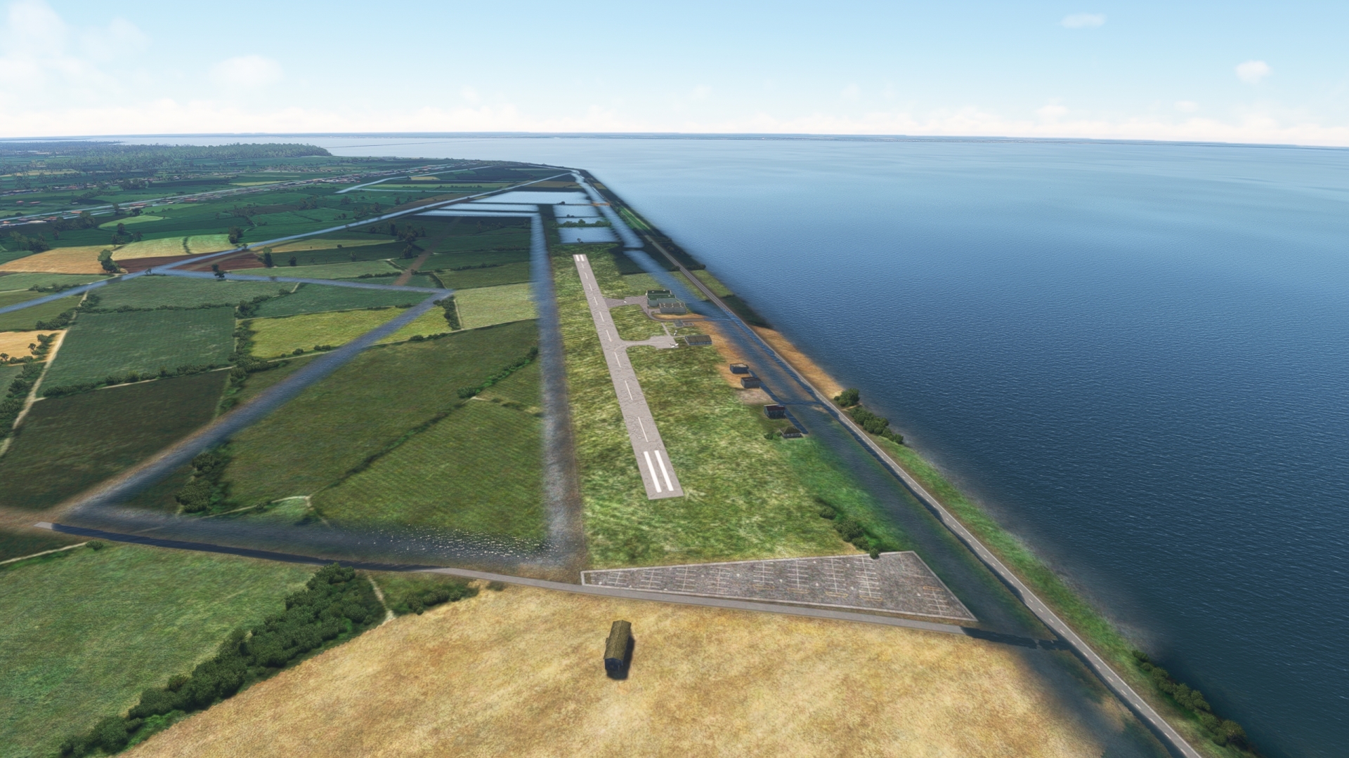
Hertenrits Nature Reserve(POI19) to Flugplatz Totness(SMCO)
Distance: 20.77NM Bearing: 123° 10 minutes
Continue following the coastline and land at Totness Airstrip, a dirt and grass airfield that is one of the oldest aviation facilities in Suriname.
Leg 7
Flugplatz Totness to Zorg en Hoop
Leg Distance: 68.48 Approximate time at 125kts: 33 minutes.
Flugplatz Totness(SMCO) to Jenny(POI20)
Distance: 25.87NM Bearing: 121° 12 minutes
Lift off from Totness Airstrip and follow the coastline in a south-easterly direction. Sight the Coppename River, one of Suriname’s longest rivers, and the Coppename Bridge, which crosses it. Pass over the village of Jenny, which is located where the Coppename Bridge meets the western bank of the river.
Jenny(POI20) to Zorg en Hoop(SMZO)
Distance: 42.61NM Bearing: 104° 20 minutes
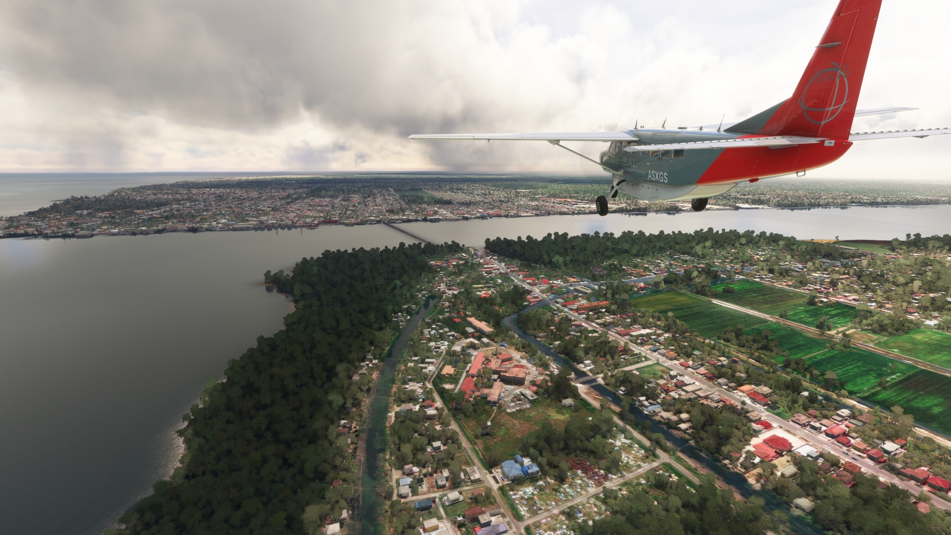
Pass over the Coppename River and and follow the East-West Connection road in an easterly direction. Gain a visual on the Saramacca River, and parallel its course, remaining to its south until it makes a sharp bend to the south. Pass over the village of Groningen, located on the western bank of the Saramacca River, and then gain a visual on Paramaribo in the distance.
Paramaribo is the capital of Suriname and its most populous city. It is located on the western bank of the Suriname River, one of the longest rivers in the nation. Named for the Paramaribo people who lived on the banks of the Suriname River delta, modern Paramaribo comprises a number of spectacular sights. These include the Garden of Palms, Saint Peter and Paul Cathedral, and Fort Zeelandia.
Zorg en Hoop Airport is located in the center of Paramaribo, due west of a prominent bend in the Suriname River and the Jules Wijdenbosch Bridge. Land at the airport to bring this portion of the journey to an end.
Leg 8
Zorg en Hoop to Saint-Laurent-du-Maroni
Leg Distance: 72.58 Approximate time at 125kts: 35 minutes.
Zorg en Hoop(SMZO) to Stolkertsijver(POI21)
Distance: 26.75NM Bearing: 115° 13 minutes
Lift off from Zorg en Hoop Airport and head to the east. Pass over the Jules Wijdenbosch Bridge and cross the Suriname River. Follow the East-West Link, the prominent highway in the region. Pass over the resort town of Tamanredjo and then continue following the East-West Link to the town of Stolkertsijver. The town has its roots in the Stolkertsijver Plantation, which was founded in the mid-1600s.

Stolkertsijver(POI21) to Moengo(POI22)
Distance: 22.49NM Bearing: 132° 11 minutes
Continue following the East-West Link, passing over vast sweeps of forest, to reach Moengo. Moengo was founded to support Suriname’s first bauxite mine. Bauxite, which is the world’s primary source of aluminum, is an important export product for Suriname.
Moengo(POI22) to Maroni River(POI23)
Distance: 22.01NM Bearing: 125° 11 minutes
Continue to follow the East-West Link and gain a visual on the Maroni River, which forms the international border between Suriname and French Guiana. Sight the town of Albina, located on the western bank of the Maroni River, and gain a visual on Saint-Laurent-du-Maroni Airport on the river’s eastern bank. Pass over Albina and then cross the river to enter French Guiana.
Maroni River(POI23) to Saint-Laurent-du-Maroni(SOOM)
Distance: 1.33NM Bearing: 132° 1 minutes
Land at Saint-Laurent-du-Maroni Airport (SOOM) to end this leg of the journey.
Leg 9
Saint-Laurent-du-Maroni to Rochambeau
Leg Distance: 157.81 Approximate time at 125kts: 76 minutes.
Saint-Laurent-du-Maroni(SOOM) to Saut Sabbat(POI24)
Distance: 22.24NM Bearing: 123° 11 minutes
Take to the sky once again and set a heading to the east and begin following National Route (N1). Pass over several small rivers and then gain a visual on the Mana River, which begins deep in the interior of French Guiana and is nearly 300 miles long. N1 crosses the Mana River at the village of Saut Sabbat.
Saut Sabbat(POI24) to Organabo(POI25)
Distance: 15.72NM Bearing: 70° 8 minutes
After passing over Saut Sabbat, follow the general trend of the N1 to the northeast. Pass the villages of Petit Laussat, Laussat, and Chire. Gain a visual on the Atlantic coastline and the Organabo River. Follow the N1 to its crossing of the Organabo River and then the village of Organabo. The Amana Nature Reserve is located to the northwest of Organabo. It is one of the world’s largest nesting sites for leatherback sea turtles, olive ridley turtles, green turtles, and hawksbill turtles.
Organabo(POI25) to Sinnamary(POI26)
Distance: 31.84NM Bearing: 128° 15 minutes
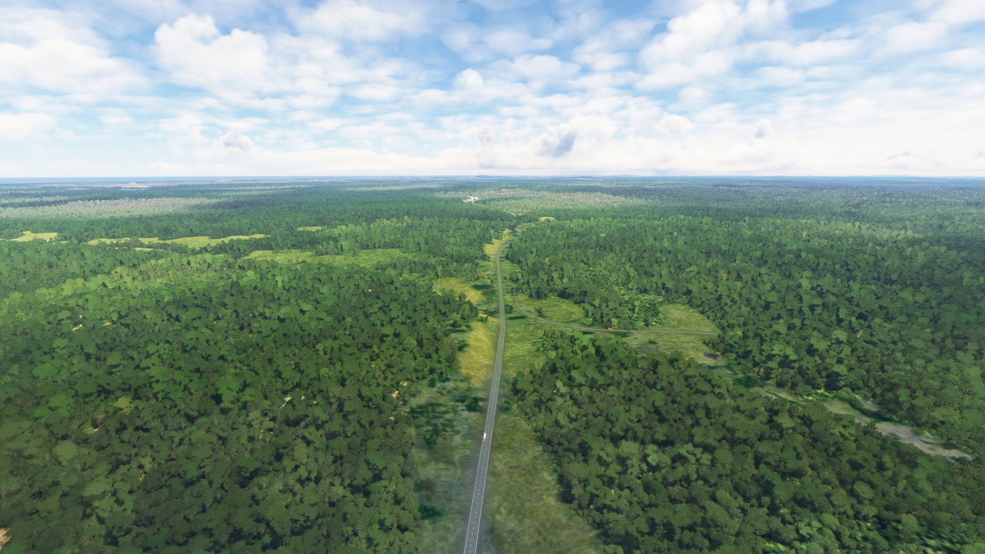
Follow the N1 as it parallels the coastline to the east-southeast. The road traverses the northern section of French Guiana Regional Natural Park, which protects vast regions of northern Amazon Rainforest. Pass the village of Iracoubo, then reach Sinnamary. Sinnamary, founded in 1664, is the second French settlement established in French Guiana. It is located along the eastern bank of the Sinnamary River just inland of the Atlantic Coastline.
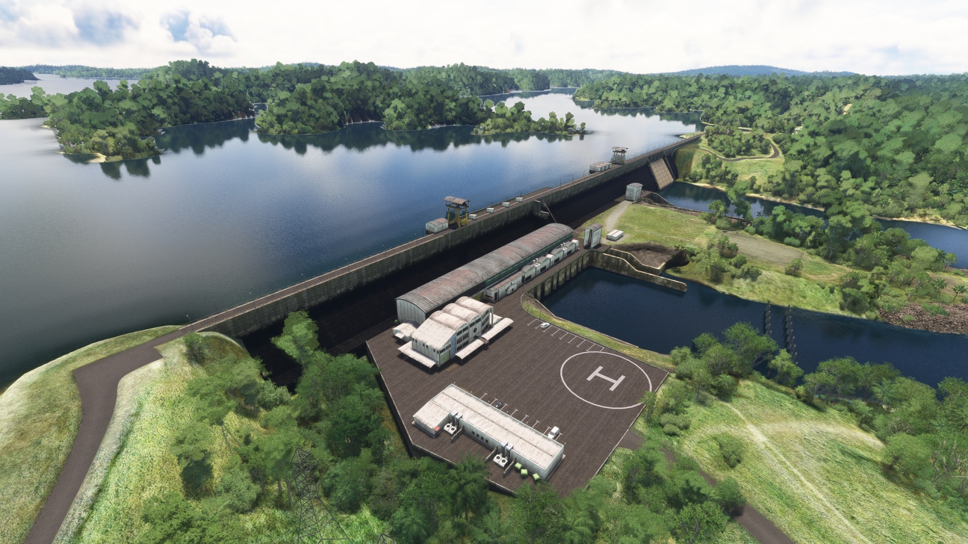
Sinnamary(POI26) to Petit-Saut Dam(POI27)
Distance: 19.15NM Bearing: 213° 9 minutes
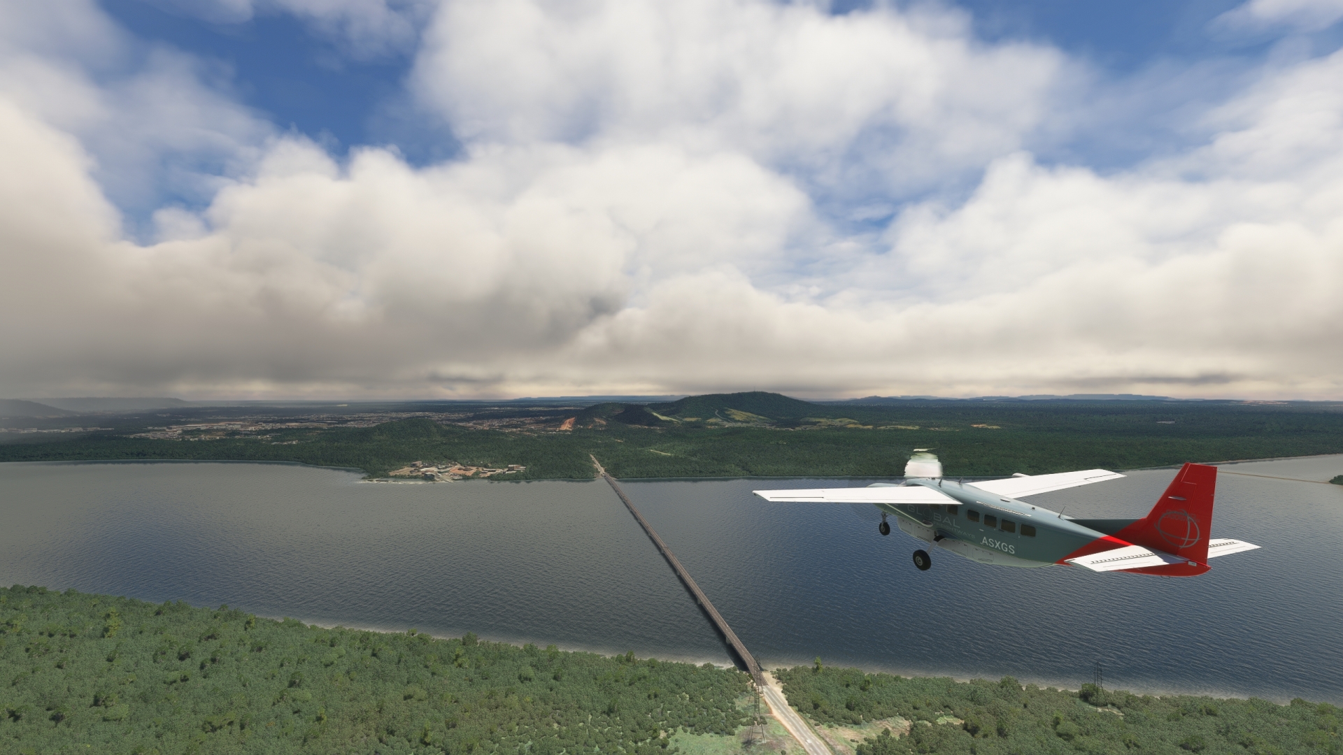
Turn to the south-southwest over Sinnamary and follow the course of the Sinnamary River to the Petit-Saut Dam. The Dam holds back the Petit-Saut Reservoir, the largest inland body of water in French Guiana. The dam and reservoir comprise a 116-megawatt hydroelectricity station.
Petit-Saut Dam(POI27) to Petit-Saut Road(POI28)
Distance: 11.3NM Bearing: 78° 5 minutes
Once over the Petit-Saut Dam, turn onto a northeast heading and follow the small access road, the Petit-Saut Road, to its intersection with the N1.
Petit-Saut Road(POI28) to Ariane Launch Areas(POI29)
Distance: 7.19NM Bearing: 68° 3 minutes
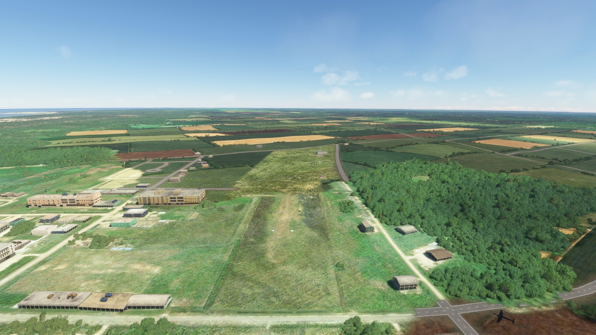
Cross the N1 at its intersection with Petit-Saut Road and continue to the northeast, following a small dirt road to reach the Guiana Space Center’s Ariane Launch Areas. Established in the 1960s, the Guiana Space Center is a launch complex that today provides space launch services for several organizations, including the European Space Agency. It is an exceptional location for space launches due to its proximity to the equator and the open sea to its east. Ariane is a family of European rockets used to boost several types of satellites into orbit.
Ariane Launch Areas(POI29) to Jupiter Control Center(POI30)
Distance: 7.54NM Bearing: 140° 4 minutes
Turn to the southeast, continue along the road and fly over the Jupiter Control Center. This complex houses the Jupiter Mission Control Room, where all launches at the Guiana Space Center are controlled and tracked.
Jupiter Control Center(POI30) to Kourou(POI31)
Distance: 2.54NM Bearing: 120° 1 minutes
Adjust course slightly to the north and fly towards the coastal city of Kourou. The city lies on the western bank of the mouth of the Kourou River. Pass three prominent hills, Mont Pariacabo, Montagne Café, and Montagne Carapa, and then pass over the center of Kourou just north of Lac du Bois Chaudat.
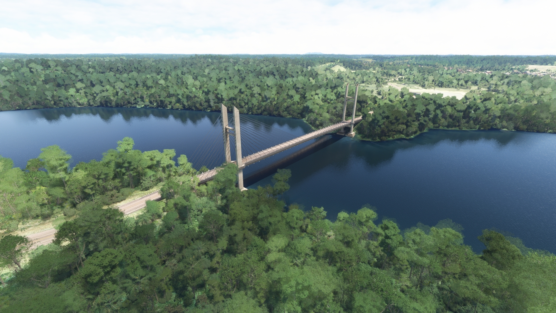
Kourou(POI31) to Larivot Bridge(POI32)
Distance: 22.41NM Bearing: 151° 11 minutes
Pass over the mouth of the Kourou River at its juncture with the Atlantic Ocean. Just under ten miles to the northeast lies the Salvation Islands archipelago. The small group of islands is renowned as the location of the Cayenne Penal Colony. Better known as Devil’s Island, this was one of the most notorious prisons in history.
After passing over the eastern shore of the Kourou River delta, continue following the Atlantic shoreline to the southeast. Follow N1 and pass over the town of Macouria, home of the French Guiana Zoo. Continue tracking N1 and gain a visual on the Cayenne River and its estuary where it meets the Atlantic Ocean. The Cayenne River is formed by the merging of the Montsinéry, Tonnegrande, and Cascades Rivers just inland of the coastline. Follow N1 over the Larivot Bridge, which crosses the Cayenne River just downstream from the juncture of the three rivers.
Larivot Bridge(POI32) to Cayenne(POI33)
Distance: 4.59NM Bearing: 75° 2 minutes
Turn to the northeast over the Larivot Bridge and follow the Cayenne River to the eastern shore of its delta and the city of Cayenne. Cayenne is the capital and most populous city of French Guiana. The city is built along the coastline and rings a number of prominent hills, including Montagne du Tigre, Mont Cabassou, and Mont Saint-Martin. Fly to the northernmost point of the city, where it meets the Atlantic Ocean, and turn to the southeast.
Cayenne(POI33) to Fort Diamant(POI34)
Distance: 5.78NM Bearing: 163° 3 minutes
Track the coastline of Cayenne to Fort Diamant at the western shoreline of the Mahury Estuary. Fort Diamant is one of the most important locations in French Guiana as it was a key compound built in establishing French presence in the region in the 1600s. It was built to protect the settlement at Cayenne.
Fort Diamant(POI34) to Rochambeau(SOCA)
Distance: 7.51NM Bearing: 264° 4 minutes
Turn to the southwest over Fort Diamant and track the northwestern shoreline of the Mahury Estuary and then gain a visual on Cayenne – Félix Éboué Airport (SOCA). Pass just to the south of the town of Matoury and land.

Leg 10
Rochambeau to Oiapoque
Leg Distance: 68.37 Approximate time at 125kts: 33 minutes.
Rochambeau(SOCA) to Approuague River(POI35)
Distance: 34.62NM Bearing: 176° 17 minutes
Take off from Cayenne, Félix Éboué airport. Immediately south of the airport, the National Road 2 runs from east to west. Follow the N2 to the west, which turns south-southeast at the junction with route D5. Follow National Road 2 to the Approuague river.
This section of the flight traverses some of the most remote and important sections of the northern Amazon rainforest. This includes the Kaw-Roura Marshland Nature Reserve that is only accessible by boat or aircraft. It comprises mangroves, savanna, rainforest, and marshland. Adjacent the Kaw-Roura Marshland Nature Reserve is Trésor Regional Nature Reserve, known for its mountain rainforests, butterflies, and several rare species of plants.
Gain a visual on the Approuague River and the town of Régina on the river’s western bank. Pass over the river just south of Régina where National Route 2 (N2) crosses it.
Approuague River(POI35) to Oyapock River Bridge(POI36)
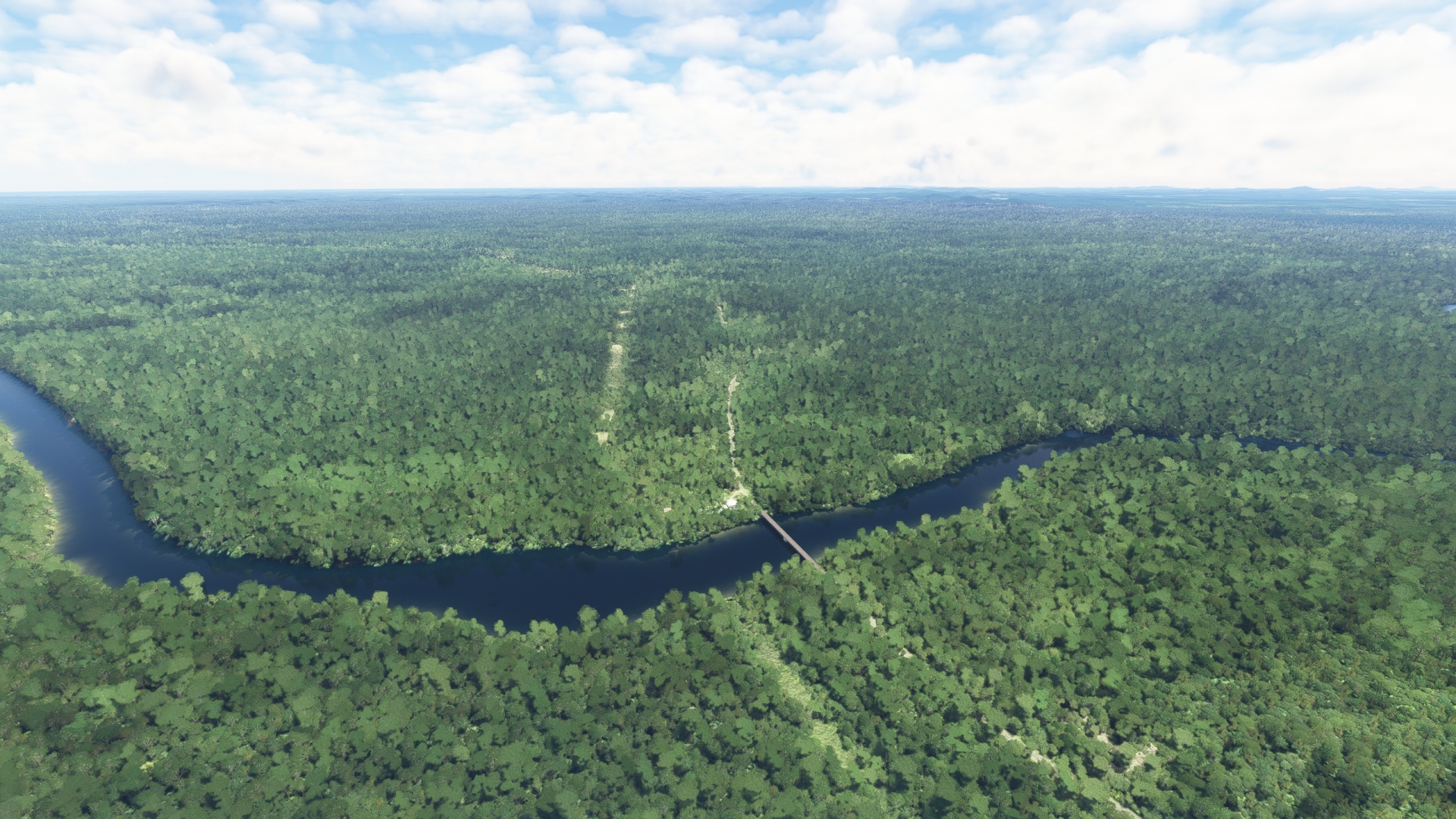
Distance: 31.98NM Bearing: 163° 15 minutes
Fly along the N2 corridor to the southeast. Gain a visual on the Oyapock River, which forms the border between French Guiana and Brazil. This section of the flight passes just to the north of the northern extremity of Guiana Amazonian Park. One of the largest national parks in the world, it is the largest protected region in France and the European Union. The park protects vast swaths of northern Amazon rainforest and the diverse species of plants and animals that call this part of the world home. It is only accessible by air or by the Oyapock River or the Maroni River.
Approaching the Oyapock River, gain a visual on where N2 crosses it at the Oyapock River Bridge. The Brazilian town of Oiapoque is located on the eastern bank of the river just south of the bridge. Fly over the bridge and enter Brazil.
Oyapock River Bridge(POI36) to Oiapoque(SBOI)
Distance: 1.77NM Bearing: 97° 1 minutes
Turn to the northeast over the Oyapock River Bridge and land at Oiapoque Airport, located on the northeastern periphery of the city of Oiapoque. This brings this journey throughout the northern extremity of the South American Continent to a close.