In this flight, you’ll re-create Charles Lindbergh’s record-setting journey across the United States.
The prelude to Charles Lindbergh’s famous solo nonstop New York to Paris flight was more than a mere test flight; it set two aviation records. Before Lindbergh and the Ryan NYP "Spirit of St. Louis" could attempt to cross the Atlantic Ocean and land in Paris, both aircraft and pilot needed to get from the Ryan aircraft factory in San Diego, California, to New York, the starting point for Lindbergh's transatlantic journey. Lindbergh, of course, chose to fly, which would give him more time to get acquainted with the aircraft that he would trust to carry him safely across the Atlantic Ocean.
On May 10 and 11, 1927, Lindbergh flew the Spirit of St. Louis nonstop from San Diego to St. Louis, setting a record for the longest nonstop solo flight in the United States. In St. Louis, Lindbergh met with his sponsors. But fearing that other flyers would soon be setting out for Paris, he pressed ahead to New York on May 12. When he landed at Curtiss Field amid a swarm of photographers and reporters just 7 hours and 15 minutes later, Lindbergh had set a new transcontinental speed record of 21 hours, 21 minutes.
Curtiss Field was very close to Roosevelt Field, where Lindbergh finally chose to take off on his transatlantic flight. Neither Curtiss Field nor Roosevelt Field exists today, so your recreation of Lindbergh’s transcontinental flight will conclude at the closest modern airport, Republic. Located in Farmingdale, New York, Republic is about five miles east of where Roosevelt Field was located.
Total Legs: 2 Total Distance: 2141 Total Time(125kts): 17 hours 7 minutes
Leg 1
Flying from KSAN
Leg Distance: 1350.51 Approximate time at 125kts: 648 minutes.
KSAN(KSAN) to POI1(POI1)
Distance: 500.45NM Bearing: 56° 240 minutes
The first waypoint on your trip will put you in New Mexico. This waypoint is 70 miles to the NW of Albuquerque. Reaching this waypoint means you are 500 miles into your trip.
POI1(POI1) to POI2(POI2)
Distance: 501.88NM Bearing: 64° 241 minutes
Continuing on your current heading, you will reach the second waypoint just to the NW of Wichita, Kansas. Waypoint 2 is 1000 miles into your journey.
POI2(POI2) to KSTL(KSTL)
Distance: 348.18NM Bearing: 75° 167 minutes
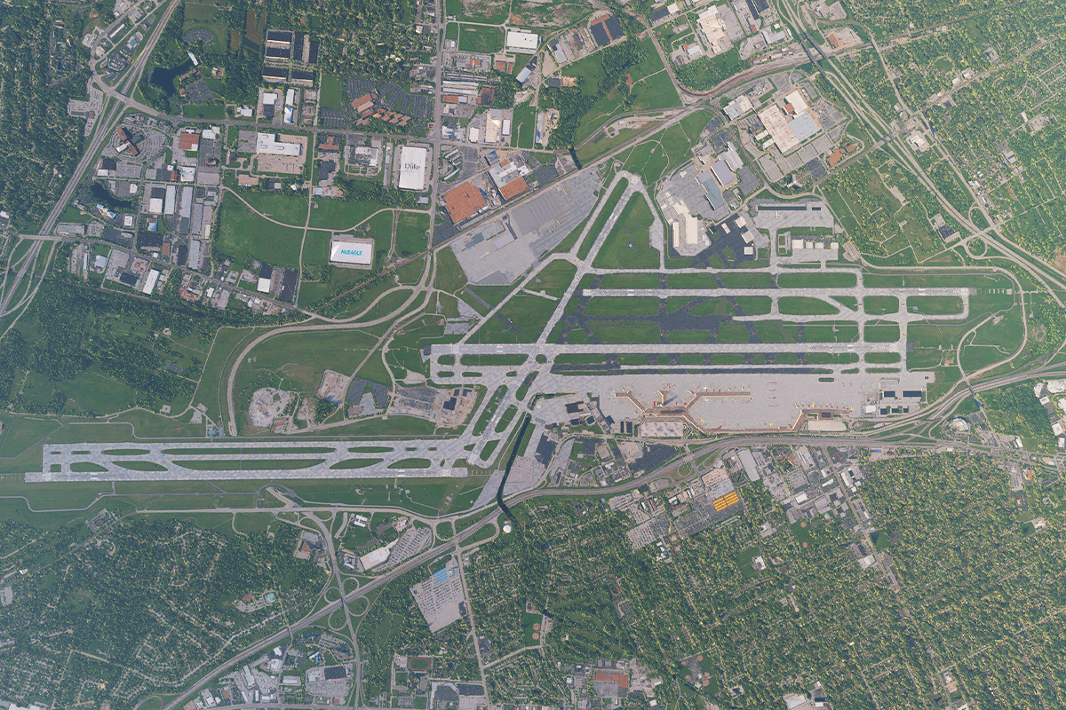
After Waypoint 2, St. Louis International is 350 miles almost due east. When you get close, expect a straight in approach to runway 06.
Leg 2
Flying from KSTL
Leg Distance: 790.58 Approximate time at 125kts: 379 minutes.
KSTL(KSTL) to POI3(POI3)
Distance: 419.28NM Bearing: 78° 201 minutes
Waypoint 3 is the half way mark for the leg between St. Louis International and New York. It is located in the middle of the Salt Fork Lake, just 15 miles Northeast of Cambridge, Ohio.
POI3(POI3) to KFRG(KFRG)
Distance: 371.3NM Bearing: 90° 178 minutes
Curtiss Field was very close to Roosevelt Field, where Lindbergh finally chose to take off on his transatlantic flight. Neither Curtiss Field nor Roosevelt Field exists today, so your recreation of Lindbergh’s transcontinental flight will conclude at the closest modern airport, Republic. Located in Farmingdale, New York, Republic is about five miles east of where Roosevelt Field was located.
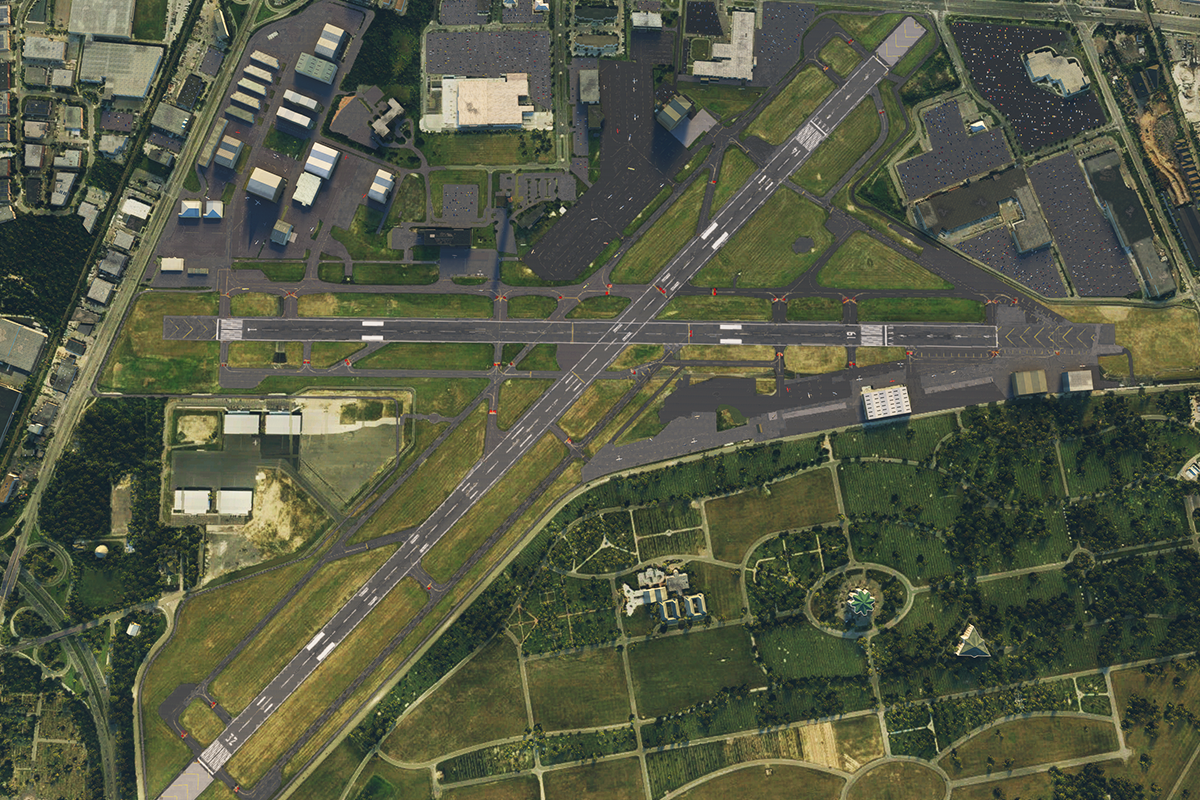
Your route will take you just south of Manhattan, the airport is due east of the island. Expect right traffic for runway 14.