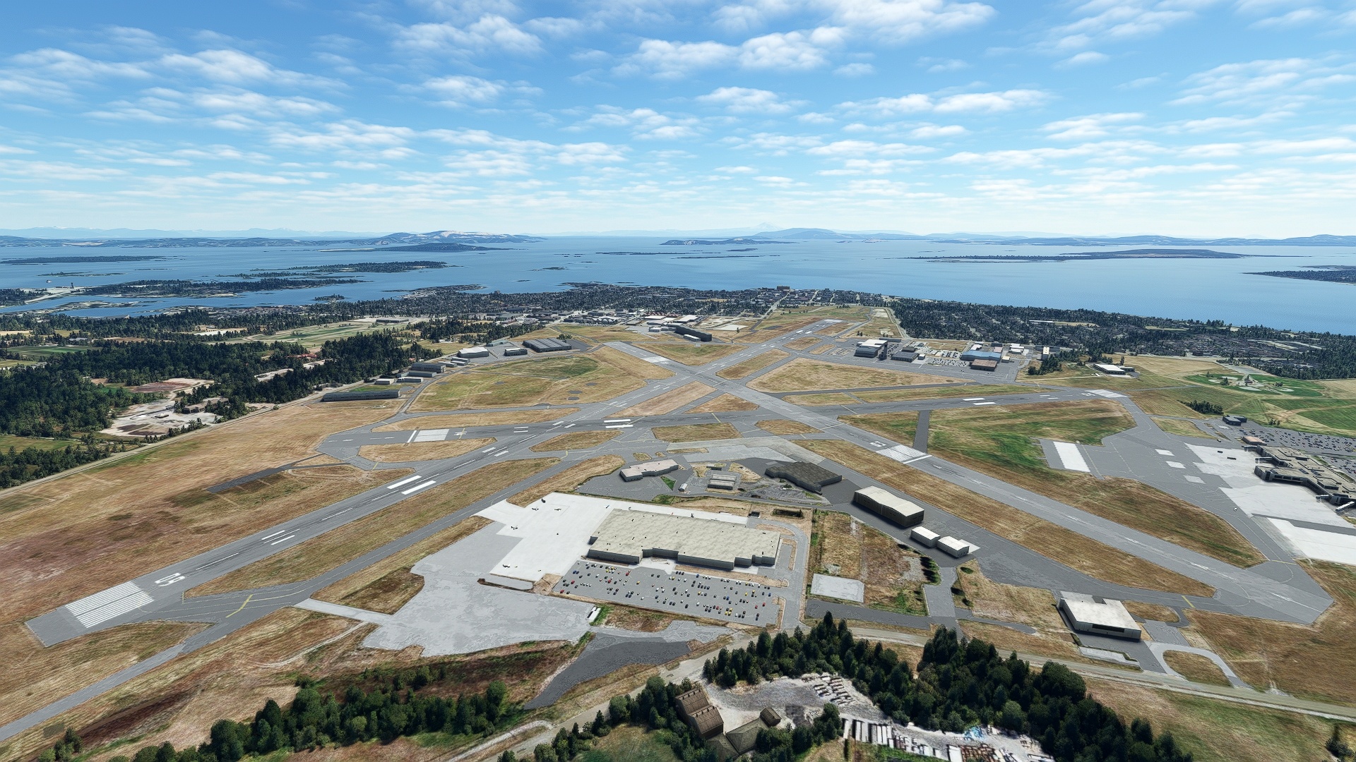
Vancouver Island, hailed as one of Canada’s most geographically diverse and beautiful regions, is located in southwestern British Columbia, part of the greater Pacific Rim. The island borders the Pacific Ocean on its western periphery and it is separated from mainland North America by a series of straits on its northeast, east, and south. The island, 283 miles long by 100 miles at its widest, comprises an incredibly varied spectrum of landscapes, including coastal fjords, mountains, dense forests, and urban patchworks.
Home to British Columbia’s capital, Victoria, Vancouver Island has Canada’s most temperate climate due to the Pacific’s influence, with many areas rarely experiencing freezing temperatures.
This bush trip explores all that Vancouver Island has to offer, taking in its coasts, high mountains, small towns, and the city vistas of Victoria.
Beginning at Tofino-Long Beach Airport, located on the island’s centralwestern coastline, the route heads north, visiting lakes, rivers, small towns, coastal forms, and mountains along the way. The journey then heads down the eastern margin of Vancouver Island, flying along the Strait of Georgia, and then ends at Victoria.
Assistance on the trip will be available in the form of a ‘Back on Track’ button on the VFR Map — however, be advised that using this will disable achievements tied to the activity.
Total Legs: 5 Total Distance: 445 Total Time(125kts): 3 hours 33 minutes
Leg 1
Tofino to Woss
Leg Distance: 83.2 Approximate time at 125kts: 40 minutes.
Tofino(CYAZ) to Cox Bay(POI1)
Distance: 4.5NM Bearing: 273° 2 minutes
After lifting off from Tofino-Long Beach Airport, head to the northwest and visually pick up the Pacific Rim Highway and follow it to Cox Bay.
Cox Bay(POI1) to Vargas Island(POI2)
Distance: 5.86NM Bearing: 300° 3 minutes
From Cox Bay, continue along the coast, heading to the northwest, and cross into Templar Channel. Pass over the northeastern aspect of Wickaninnish Island, and then fly over the heart of Vargas Island, which is a habitat for a number of animals including cougar, black bear, and wolf.
Vargas Island(POI2) to Rafael Point(POI3)
Distance: 11.59NM Bearing: 287° 6 minutes
Continue to the northwest, flying over Brabant Channel and then directly over Bartlett Island 32. Pass over the Russell Channel, sighting the southwestern end of Flores Island at Siwash Cove. Skirt the western coastline of Flores Island to its westernmost point, Rafael Point. Flores Island boasts some of the largest tracts of old growth forest in the Vancouver Island region.
Rafael Point(POI3) to Sydney Inlet(POI4)
Distance: 8.82NM Bearing: 340° 4 minutes
Continue north from Rafael Point, admiring the lush forest along the coastline of Flores Island. Vancouver Island, due to its location on the Pacific Ocean, receives tremendous amounts of rainfall along its western coast, nourishing the area’s forests. Continue northward into Sydney Inlet.
Sydney Inlet(POI4) to Sydney River(POI5)
Distance: 5.56NM Bearing: 323° 3 minutes
Fly along the long, narrow Sydney Inlet to its northernmost point, where it meets the Sydney River.
Sydney River(POI5) to Mount Walker(POI6)
Distance: 17.12NM Bearing: 307° 8 minutes
Gain a visual on Hanna Channel to the northwest of Sydney River. Pass over Hanna Channel and sight Mount Walker, 3,711 feet above sea level.
Mount Walker(POI6) to Tahsis Inlet(POI7)
Distance: 7.26NM Bearing: 311° 3 minutes
From Mount Walker, gain a visual on the long, narrow, north-south trending Tahsis Inlet and maneuver over its midsection, gaining altitude.
Tahsis Inlet(POI7) to Rugged Mountain(POI8)
Distance: 10.73NM Bearing: 340° 5 minutes
Flying north, eye a group of peaks to the north, the highest mountains of the Haihte Range, a small chain of peaks that is part of the Vancouver Island Ranges. Sight the highest point, Rugged Mountain, which stands 6,106 feet above sea level. Fly over the summit of the peak, which grants a great view of the surrounding mountains and glaciers of the upper Haihte Range.
Rugged Mountain(POI8) to Woss Lake(POI9)
Distance: 8.47NM Bearing: 359° 4 minutes
Sight Woss Lake, a long, narrow lake that runs predominantly north-south.
Woss Lake(POI9) to Woss(CAK4)
Distance: 3.29NM Bearing: 343° 2 minutes
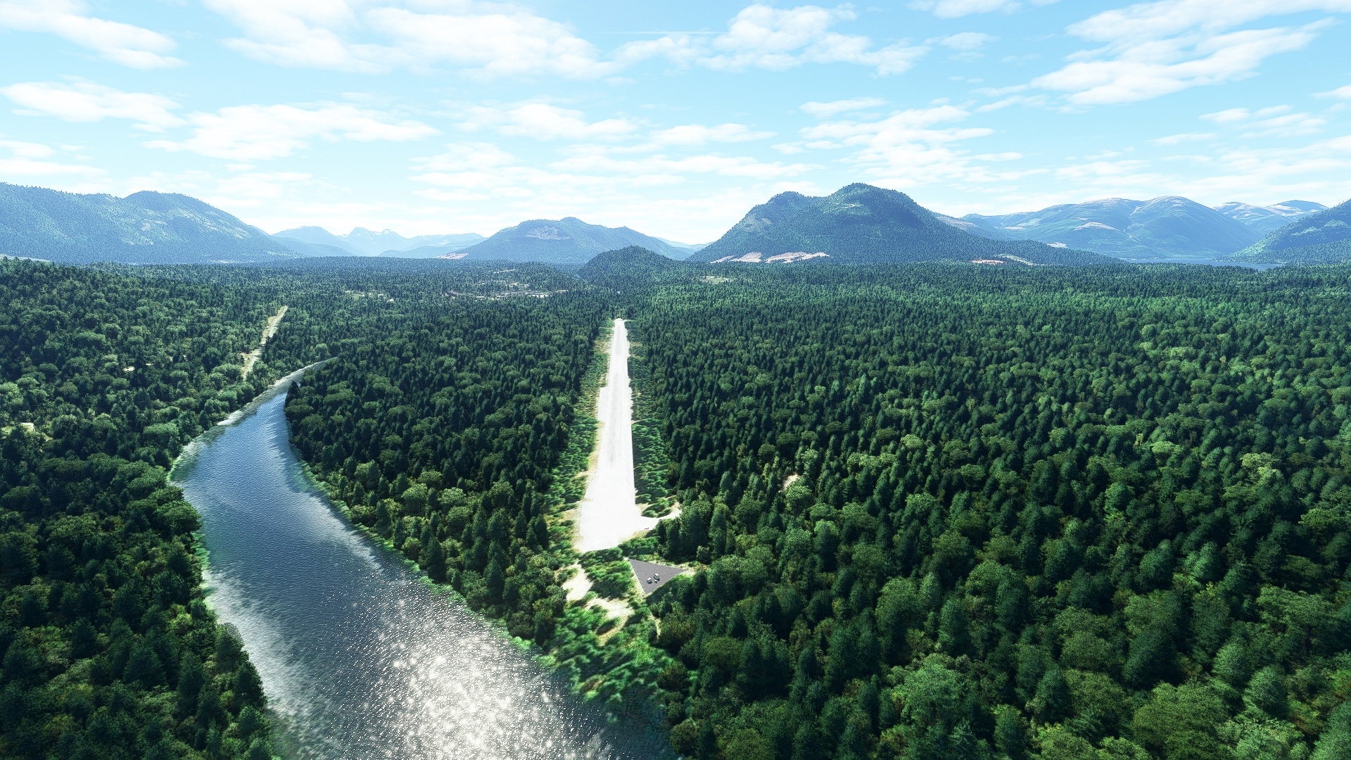
From the northern aspect of Woss Lake, sight the village of Woss, and Woss Airport, which lies just to the west of the village.
Leg 2
Woss to Port Hardy
Leg Distance: 130.7 Approximate time at 125kts: 63 minutes.
Woss(CAK4) to Nimpkish Lake(POI10)
Distance: 14NM Bearing: 284° 7 minutes
After lifting into the sky from Woss Airport, sight Highway 19 to the northwest and follow it to Nimpkish Lake.
Nimpkish Lake(POI10) to Port Alice(POI11)
Distance: 21.76NM Bearing: 268° 10 minutes
Gain a visual on Victoria Lake, which lies to the west of Nimpkish Lake. Fly over the northern extremity of Victoria Lake and sight Port Alice, a small village that lies on the eastern shore of Neroutsos Inlet.
Port Alice(POI11) to Drake Island(POI12)
Distance: 7.82NM Bearing: 298° 4 minutes
Continue north-northwest, following the Neroutsos Inlet to Drake Island.
Drake Island(POI12) to Cape Parkins(POI13)
Distance: 16.54NM Bearing: 238° 8 minutes
From Drake Island, follow Quatsino Sound to the southwest to Cape Parkins, which lies on the northern aspect Quatsino Sound’s opening to the Pacific Ocean.
Cape Parkins(POI13) to San Josef Bay(POI14)
Distance: 16.29NM Bearing: 305° 8 minutes
Follow the coastline, staying just inland of the shore, to San Josef Bay.
San Josef Bay(POI14) to Cape Scott(POI15)
Distance: 9.03NM Bearing: 313° 4 minutes
From San Josef Bay, continue tracking the coast, remaining just inland. Cross Hansen Bay, then pass over Guise Bay and sight Cape Scott, the northern point of Vancouver Island. The area around Cape Scott is protected by Cape Scott Provincial Park, and the coastline in the region some of the most ruggedly beautiful in all of Canada.
Cape Scott(POI15) to Goletas Channel(POI16)
Distance: 22.39NM Bearing: 60° 11 minutes
Follow the coastline to the east-northeast, passing by numerous coves and tiny inlets to arrive at Goletas Channel, which separates northeastern Vancouver Island from Nigei Island.
Goletas Channel(POI16) to Duval Island(POI17)
Distance: 14.96NM Bearing: 96° 7 minutes
Follow the coastline to the east-southeast along Goletas Channel to the tiny Duval Island, which lies at the northern opening of Hardy Bay.
Duval Island(POI17) to Hardy Bay(POI18)
Distance: 2.89NM Bearing: 155° 1 minutes
Turn to the south and enter Hardy Bay, sighting the town of Port Hardy as a reference.
Hardy Bay(POI18) to Port Hardy(CYZT)
Distance: 5.02NM Bearing: 104° 2 minutes
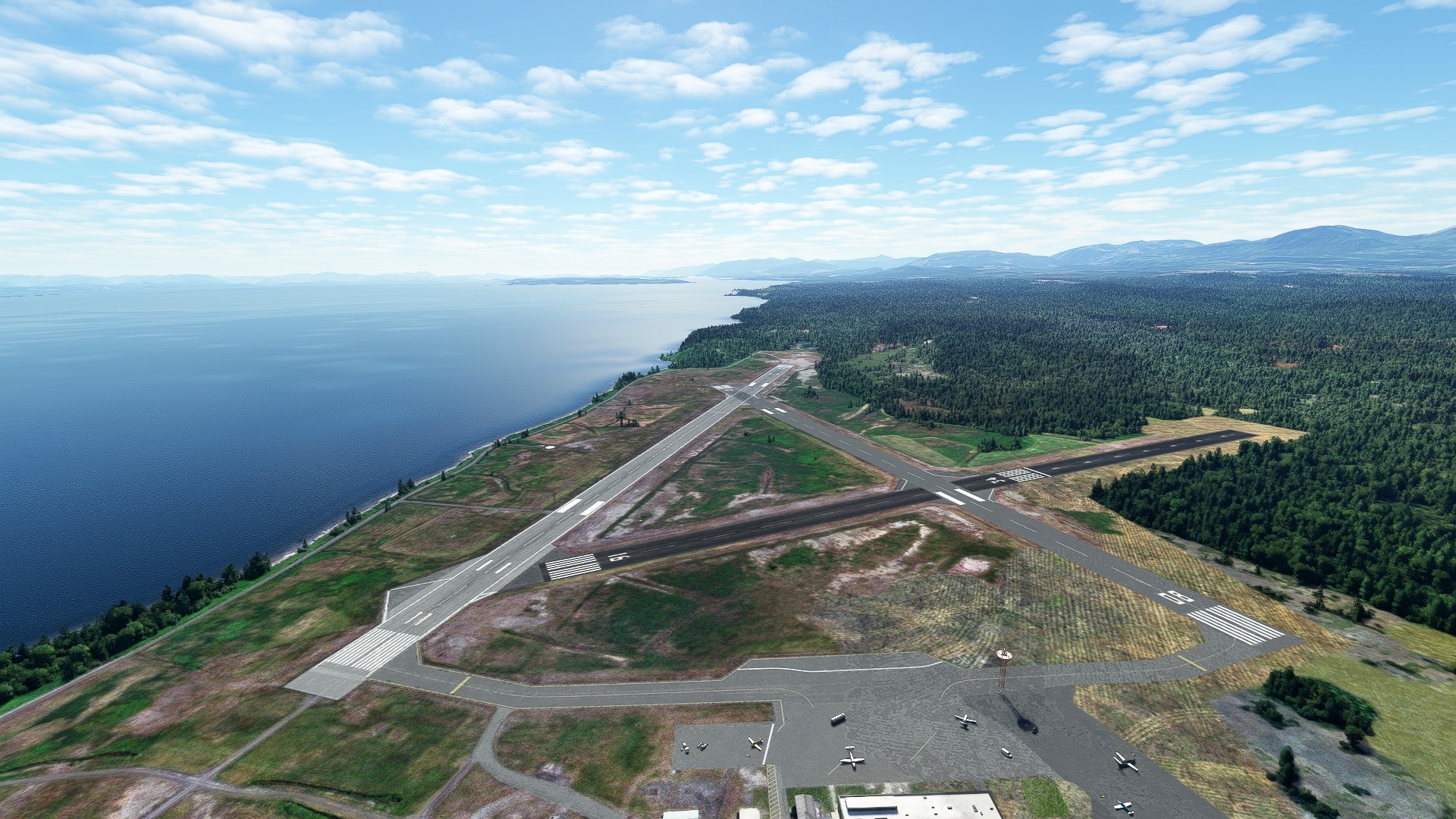
Sight Beaver Harbour to the southeast of Hardy Bay, and then land at Port Hardy Airport, which lies just to the southeast of Beaver Harbour.
Leg 3
Port Hardy to Campbell River
Leg Distance: 101.11 Approximate time at 125kts: 49 minutes.
Port Hardy(CYZT) to Hanson Island(POI19)
Distance: 24.67NM Bearing: 89° 12 minutes
Head into Queen Charlotte Strait and sight Malcolm Island. Fly along the southern edge of Malcolm Island, then pass over Cormorant Channel Marine Provincial Park, and then reach Hanson Island.
Hanson Island(POI19) to Johnstone Strait(POI20)
Distance: 12.39NM Bearing: 92° 6 minutes
From Hanson Island, follow the coastline into Johnstone Strait, which is a summer home to a large group of orca whales.
Johnstone Strait(POI20) to Hardwicke Island(POI21)
Distance: 21.42NM Bearing: 84° 10 minutes
Follow the narrow Johnstone Strait to Hardwicke Island, which has its industrial roots in logging.
Hardwicke Island(POI21) to Discovery Passage(POI22)
Distance: 19.09NM Bearing: 94° 9 minutes
Continue to follow the Johnstone Strait to Discovery Passage, the most important sea route from northern Vancouver Island and adjacent mainland British Columbia to the Salish Sea, which opens to the Pacific Ocean.
Discovery Passage(POI22) to Mount Seymour(POI23)
Distance: 9.84NM Bearing: 135° 5 minutes
Fly along the eastern edge of Discovery Passage and pass over Quadra Island at Kanish Bay. Sight the forested high point of the island, Mount Seymour, which rises to 2,001 feet above sea level.
Mount Seymour(POI23) to Campbell River(CYBL)
Distance: 13.7NM Bearing: 160° 7 minutes
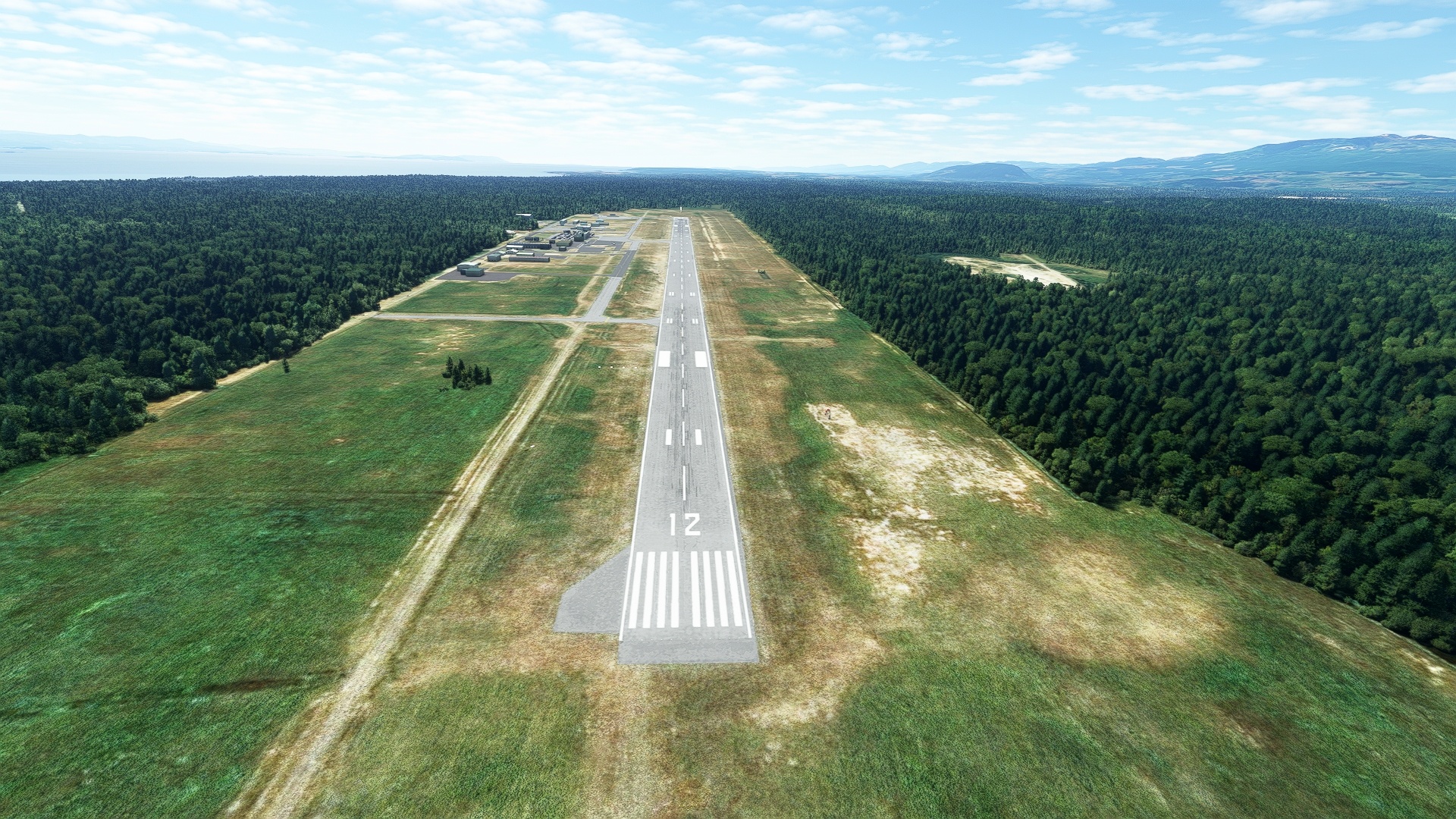
From Mount Seymour, sight the city of Campbell River, which lies on the east coast of Vancouver Island. Pass back over Discovery Passage to reach the city, then continue due south of it, to Campbell River Airport.
Leg 4
Campbell River to Nanaimo
Leg Distance: 99.45 Approximate time at 125kts: 48 minutes.
Campbell River(CYBL) to Comox Lake(POI24)
Distance: 20.17NM Bearing: 145° 10 minutes
From Campbell River Airport, follow highway 19 to the south. Gain a visual on Wolf Lake, then sight the much larger Comox Lake to its south. Comox Lake is a glacially-fed freshwater lake.
Comox Lake(POI24) to Great Central Lake(POI25)
Distance: 17.64NM Bearing: 161° 8 minutes
From Comox Lake, head to the south, sighting Elsie Lake, recognizable by an island in its west-central portion. Pass to the east of Elsie Lake and gain a visual on Great Central Lake, a long, east-west trending lake that is the second deepest on Vancouver Island.
Great Central Lake(POI25) to Hucuktlis Lake(POI26)
Distance: 15.88NM Bearing: 156° 8 minutes
Continue on a southward course from Great Central Lake, passing over Sproat Lake. Fly over the western periphery of Nahmint Lake, and gain a visual on Hucuktlis Lake (pronounced ‘who chook-tlis’). Hucuktlis lies in the rainiest location in North America, receiving an average 271.8 inches of rain per year. 366.4 inches of rain fell on the lake in 1997, setting an all time one-year record.
Hucuktlis Lake(POI26) to Nanaimo River(POI27)
Distance: 25.11NM Bearing: 73° 12 minutes
Turn to the east from Hucuktlis Lake, and pass over Alberni Inlet. Sight Fourth Lake in the distance, and fly over Nanaimo River just to its north. Nanaimo River is one of Vancouver Island’s most important rivers, notably serving the logging industry.
Nanaimo River(POI27) to Nanaimo(CYCD)
Distance: 20.65NM Bearing: 79° 10 minutes
Follow the Nanaimo River to the east to Nanaimo Airport, which lies just to the north of Ladysmith Harbour.
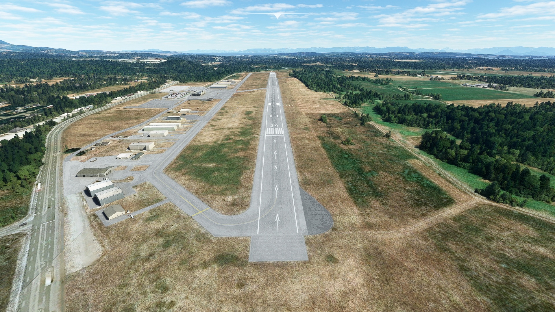
Leg 5
Nanaimo to Victoria Intl
Leg Distance: 30.13 Approximate time at 125kts: 14 minutes.
Nanaimo(CYCD) to Satellite Channel(POI28)
Distance: 22.32NM Bearing: 130° 11 minutes
From Nanaimo Airport, Track the coastline to the southeast. Pass the coastal towns of Ladysmith, Chemainus, and Crofton. Sight Quamichan Lake, a large, oval-shaped lake just inland of Maple Bay, and pass just to its east. Eye Satellite Channel, which separates Vancouver Island from Saltspring Island.
Satellite Channel(POI28) to Victoria Intl(CYYJ)
Distance: 7.81NM Bearing: 124° 4 minutes
Fly along the midline of Satellite Channel and then sight the northern end of the Saanich Peninsula and the town of Sidney, part of the greater Victoria metropolitan area. Victoria International Airport lies just to the west of Sidney, the end of this journey throughout Vancouver Island.
