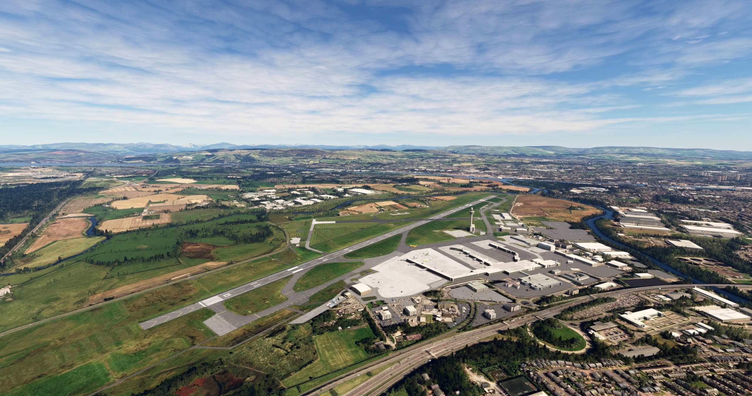
Scotland is a country known for its verdant hills, iconic architecture, and rich history. Located on the northern third of the island of Great Britain, it is the northernmost of the countries of the United Kingdom. Scotland is bordered by England on its south, the North Atlantic Ocean on its west and north, and the North Sea on its east. The country is divided into three general regions: the Highlands, located in the north of Scotland, the Lowlands in its central portion, and the Southern Uplands. Scotland’s climate is heavily influenced by the Atlantic Ocean, notably the warm Gulf Stream current. Weather in Scotland is characterized by warm winters, cool summers, and fickle skies throughout the year.
Human habitation of the region that would become Scotland dates to prehistoric times. Scotland’s recorded history began during the period of the Roman Empire and includes influences by the Vikings, the Norman Conquest, wars for independence, and renowned intellectual and artistic movements. Over the centuries, grand works of architecture, notably castles, were constructed throughout Scotland’s landscapes that today stand as some of the country’s most coveted national treasures.
This bush trip traverses portions of the Highlands and the Lowlands, passing over stunning landscapes, population centers large and small, and beautiful stretches of coastline. The journey begins on the famed Isle of Skye, follows the North Sea coastline, then passes over Edinburgh, Scotland’s Capital, and ends at Glasgow, the country’s most populous city.
Total Legs: 6 Total Distance: 325 Total Time(125kts): 2 hours 36 minutes
Leg 1
Clutton Hill Airstrip to Inverness
Leg Distance: 69.57 Approximate time at 125kts: 33 minutes.
Clutton Hill Airstrip(EGEI) to Dornie(POI1)
Distance: 10.21NM Bearing: 84° 5 minutes
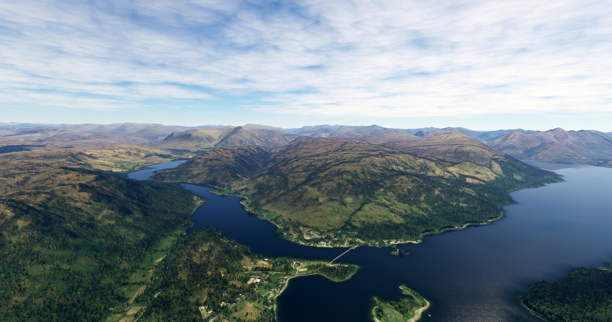
After lifting off from Broadford Airfield, set a course to the east-northeast and pass just to the north of a series of low, rolling mountains. Obliquely cross Loch Alsh (“foaming lake”), an inlet, to reach the small village of Dornie. Dornie is located at the juncture of Loch Alsh, Loch Long, and Loch Duich and has a rich history rooted in fishing. The village is home to the Eilean Donan Castle, built in the mid-13th century.
Dornie(POI1) to Loch Cluanie(POI2)
Distance: 13.66NM Bearing: 124° 7 minutes
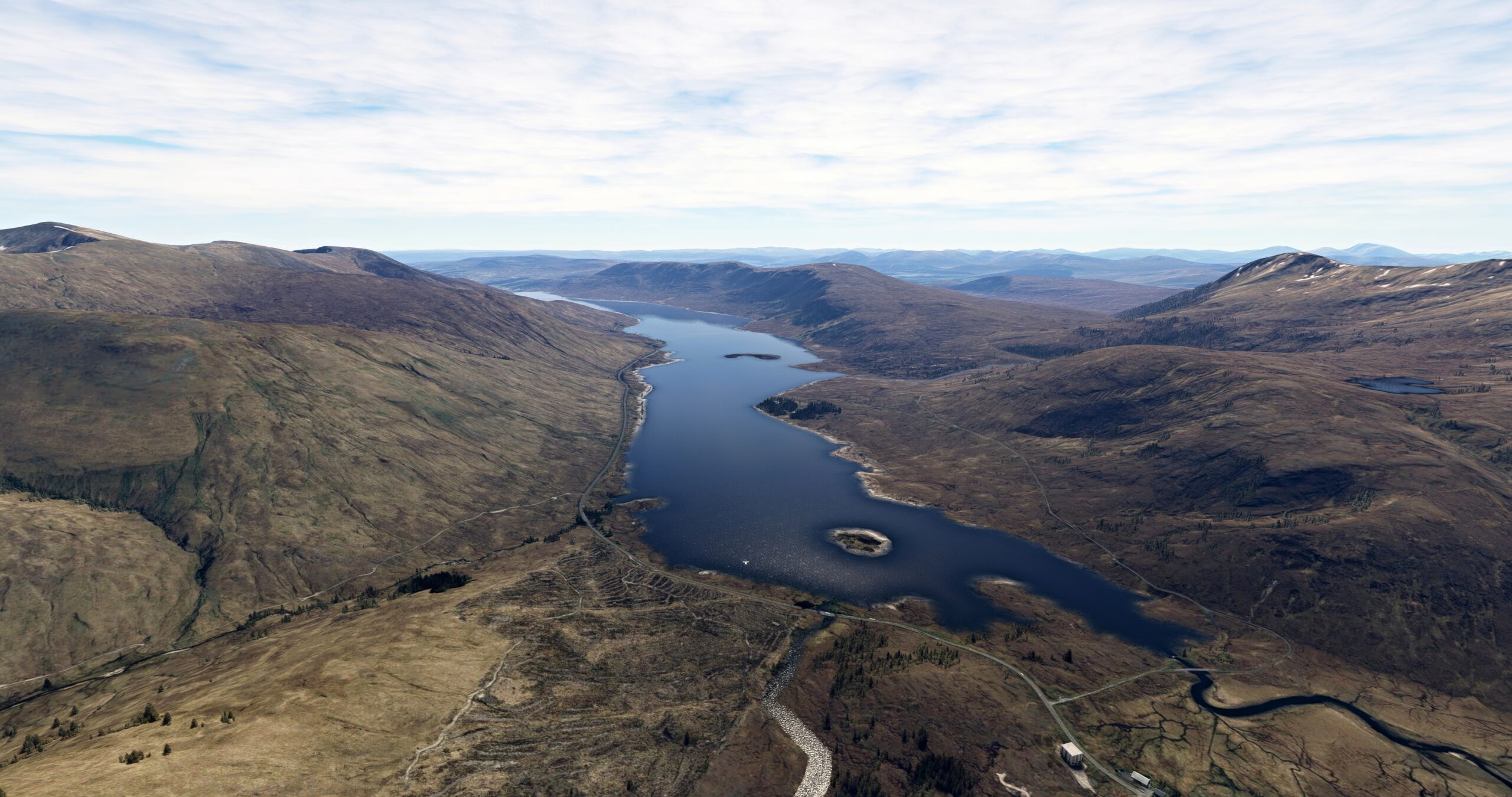
Over Dornie, turn to the southeast and skirt the eastern shore of Loch Duich. Pass over gently rolling mountains and parallel the A87, a major road in the area, remaining to its north. Fly over the northern end of Loch Cluanie where A87 meets the lake.
Loch Cluanie(POI2) to Loch Ness(POI3)
Distance: 18.31NM Bearing: 81° 9 minutes
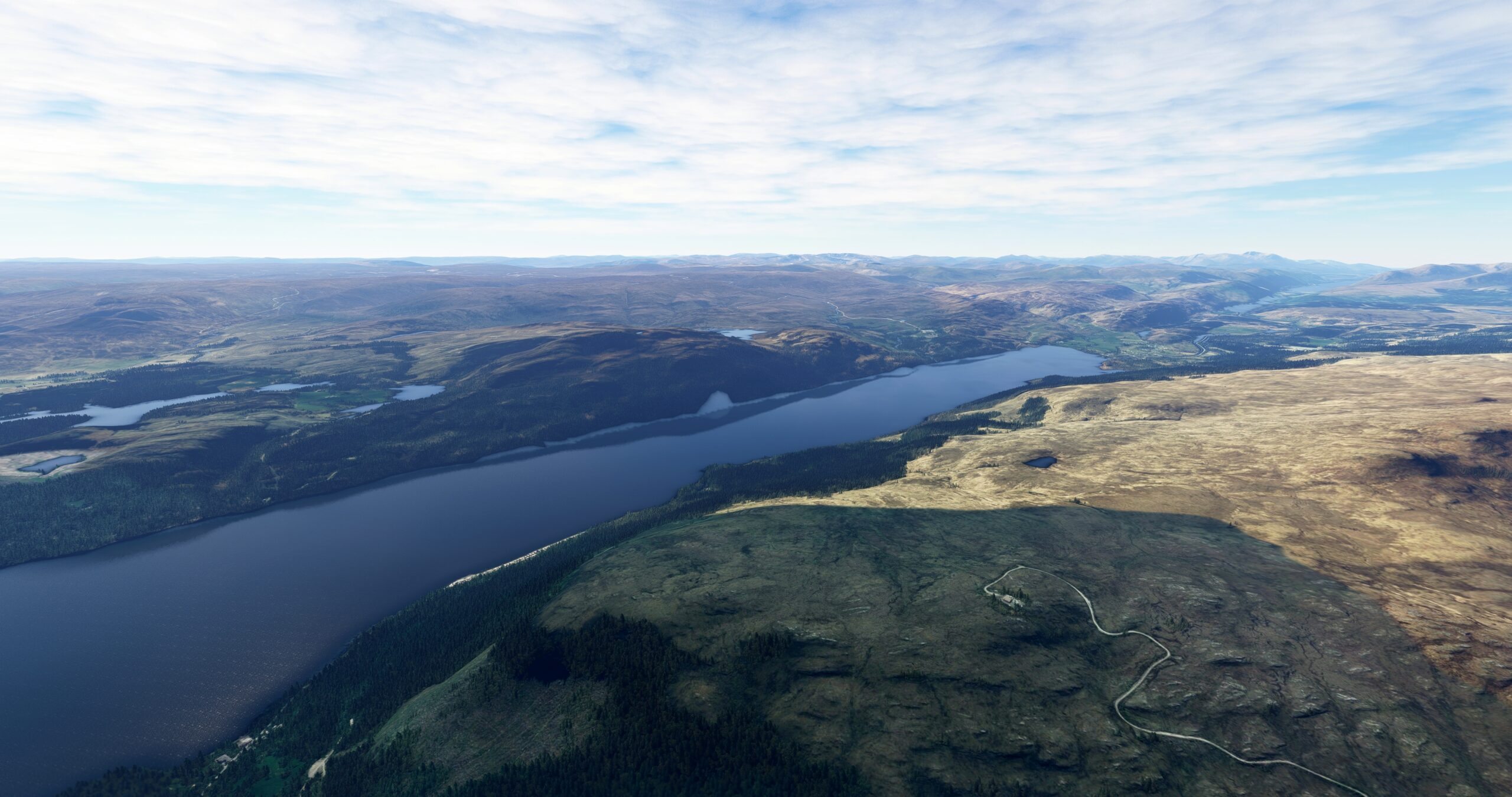
Follow A87 and then A887 to the north-northeast to Loch Ness. A freshwater lake, the water of Loch Ness is infused with peat from the surrounding countryside and has very low visibility. The lake is internationally renowned for a mythical creature called the “Loch Ness Monster” that supposedly lives deep within the peat-laden water of the lake.
Loch Ness(POI3) to Inverness(POI4)
Distance: 20.48NM Bearing: 38° 10 minutes
Follow the western shore of Loch Ness to the north-northeast. Continue on course over the River Ness to Inverness (“Mouth of the River Ness”), a city on the shore of Moray Firth, an inlet of the North Sea.

Inverness(POI4) to Inverness(EGPE)
Distance: 6.91NM Bearing: 60° 3 minutes
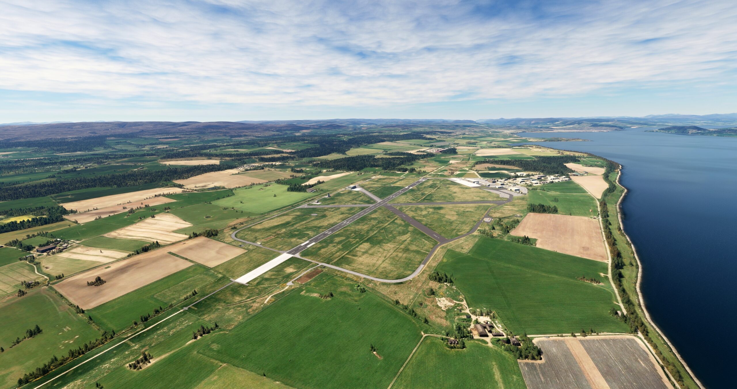
Skirt the eastern edge of Moray Firth and land at Inverness Airport (EGPE), just inland of the shoreline.
Leg 2
Inverness to Whitehills Airport
Leg Distance: 48.48 Approximate time at 125kts: 23 minutes.
Inverness(EGPE) to Nairn(NAIRN)
Distance: 6.37NM Bearing: 66° 3 minutes
After lifting off from Inverness Airport, set a course to the northeast and pass over the town of Nairn, located on the shore of Moray Firth. Nairn, founded in the early 1100s, is rooted in fishing and regional trade.

Nairn(NAIRN) to Kinloss(POI5)
Distance: 10.26NM Bearing: 73° 5 minutes
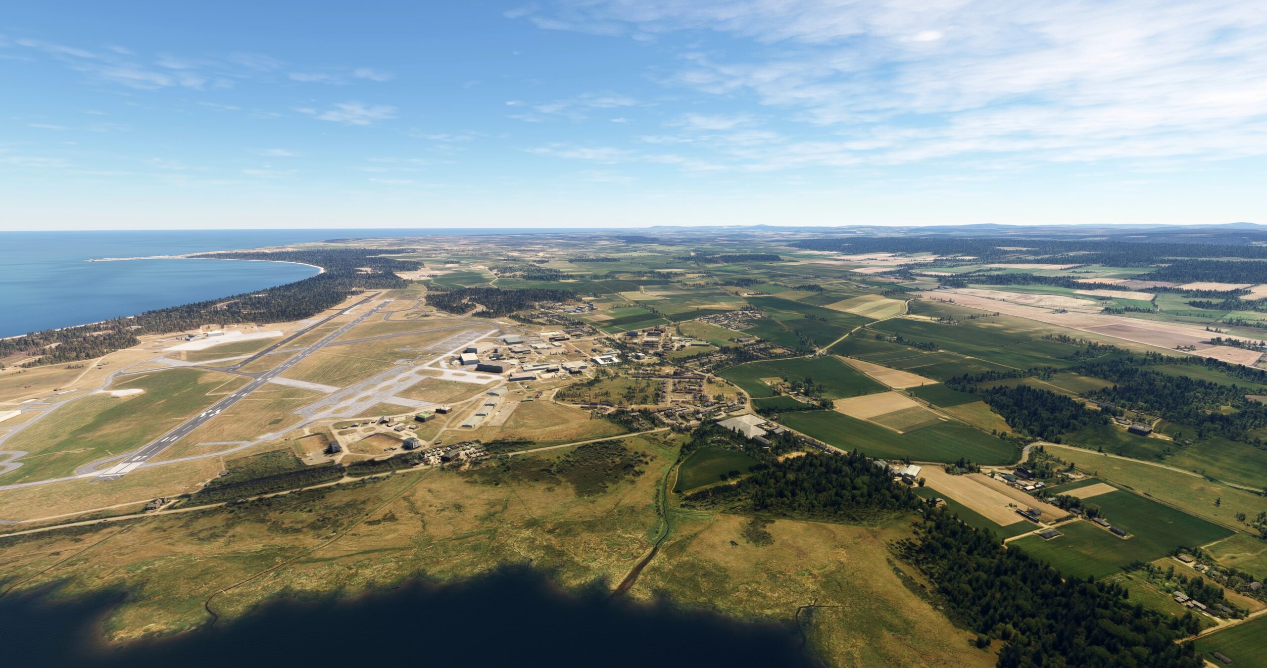
Maintain course to the north-northeast and pass over the Culbin Forest, a region notable for its wildlife, including birds and butterflies. Pass over Findhorn Bay, which empties into Moray Firth, to reach the town of Kinloss. Kinloss was home to RAF Kinloss, which was opened in 1939 and used for aviation training purposes throughout World War II. The base was used throughout the Cold War and into the 2000s as a base for maritime patrol aircraft.
Kinloss(POI5) to Lossiemouth(POI6)
Distance: 9.32NM Bearing: 62° 4 minutes
Continue tracking the southern coastline to the town of Lossiemouth.

Lossiemouth(POI6) to Spey Bay(POI7)
Distance: 7.57NM Bearing: 110° 4 minutes
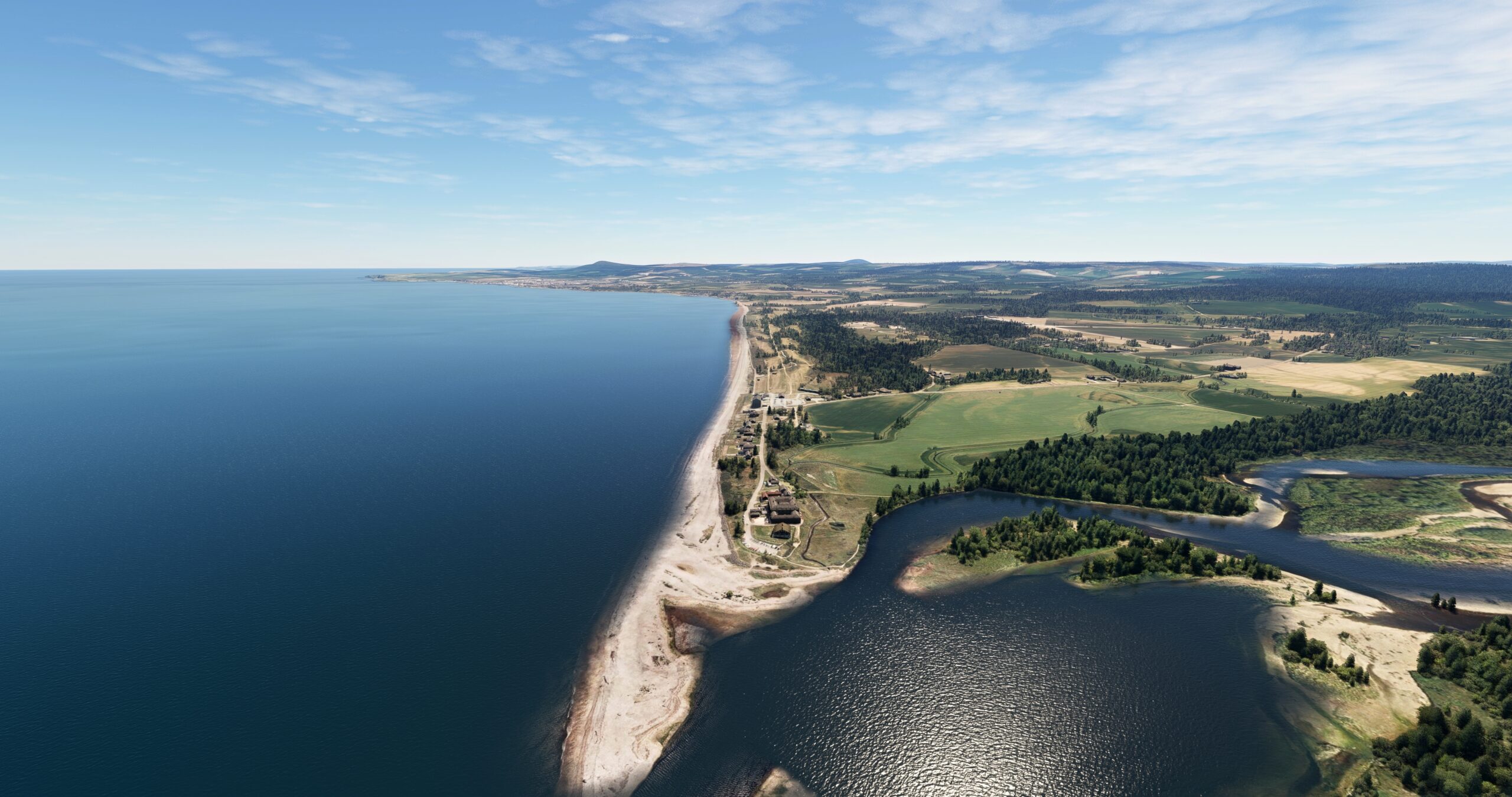
Follow the coastline to the east-southeast from Lossiemouth to the small village of Spey Bay, located where the River Spey meets the Moray Firth. The River Spey is the second longest river in Scotland and the country’s fastest flowing.
Spey Bay(POI7) to Portknockie(POI8)
Distance: 7.63NM Bearing: 77° 4 minutes
Follow the rocky coastline to the east-northeast and pass over the coastal village of Portknockie, a name meaning “hilly port.”

Portknockie(POI8) to Whitehills Airport(EG30)
Distance: 7.33NM Bearing: 108° 4 minutes
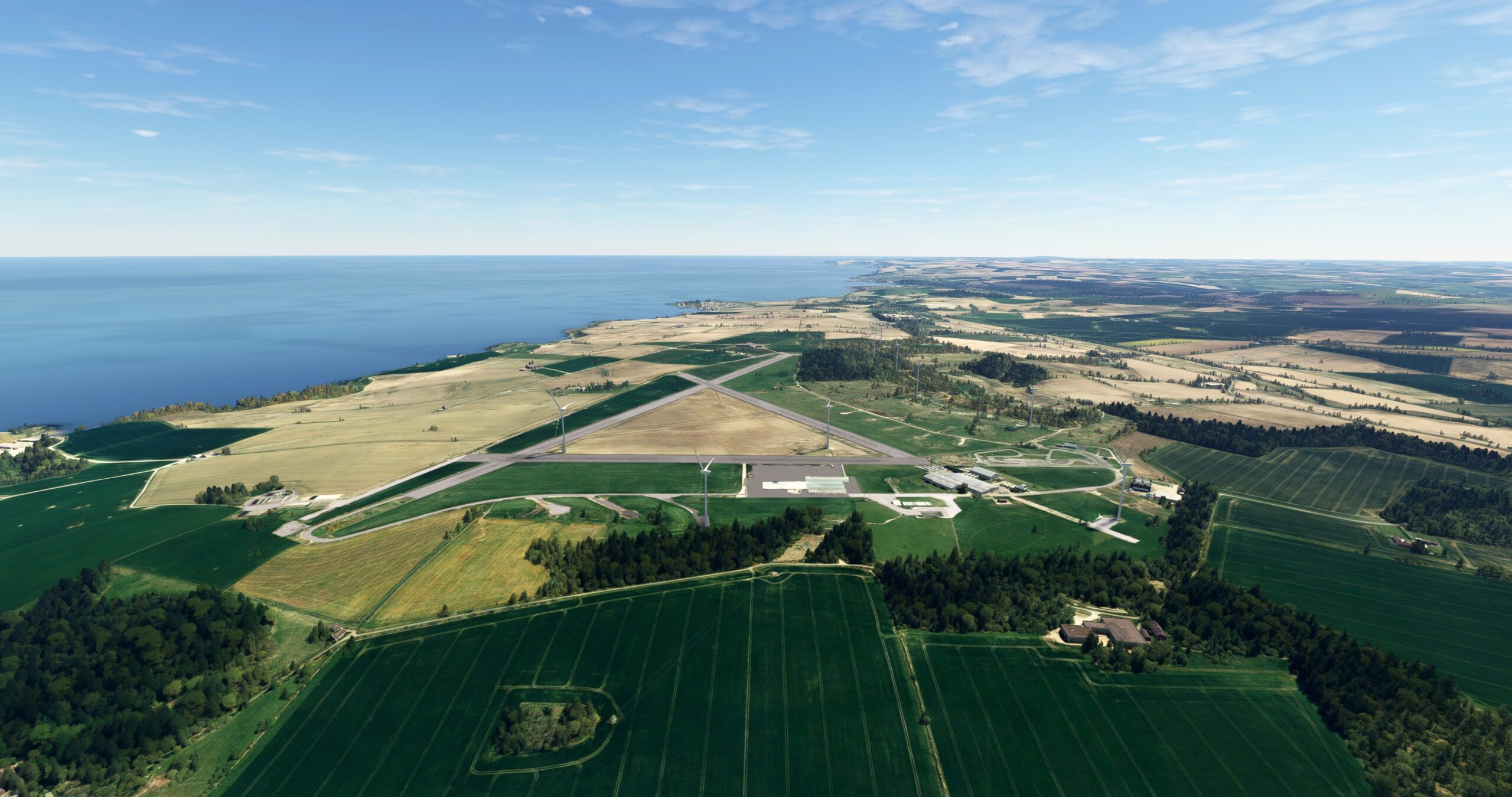
From Portknockie, turn to an east-southeast course and pass over a small bay and fly past the village of Cullen. Follow the rugged shoreline and pass just to the south of the village of Portsoy and then land at Whitehills Airport (EG30), located just inland of the coast.
Leg 3
Whitehills Airport to Dyce
Leg Distance: 55.06 Approximate time at 125kts: 26 minutes.
Whitehills Airport(EG30) to Gardenstown(POI9)
Distance: 9.72NM Bearing: 90° 5 minutes
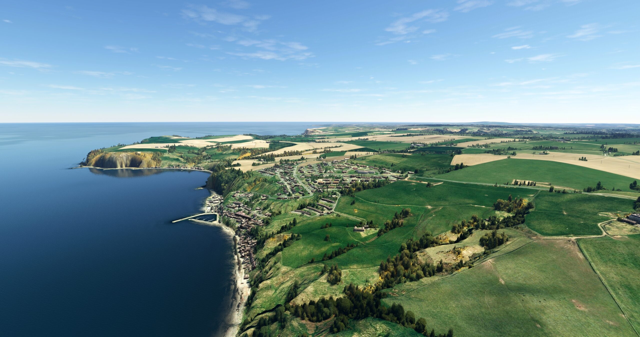
Take-off from Whitehills Airport and set a course to the east. Gain a visual on Banff Bay and the River Deveron, which empties into the bay. Pass over the town of Banff, on the bay’s west side, and then the town of Macduff, on the bay’s east side. Continue on an easterly course to the small fishing village of Gardenstown, located at the head of Gamrie Bay.
Gardenstown(POI9) to Fraserburgh(POI10)
Distance: 10.13NM Bearing: 85° 5 minutes
Continue following the coast to the east to the town of Fraserburgh, the largest shellfish port in Scotland. Fraserburgh is located on the west end of Fraserburgh Bay, where Moray Firth meets the North Sea.

Fraserburgh(POI10) to Peterhead(POI11)
Distance: 12.42NM Bearing: 146° 6 minutes
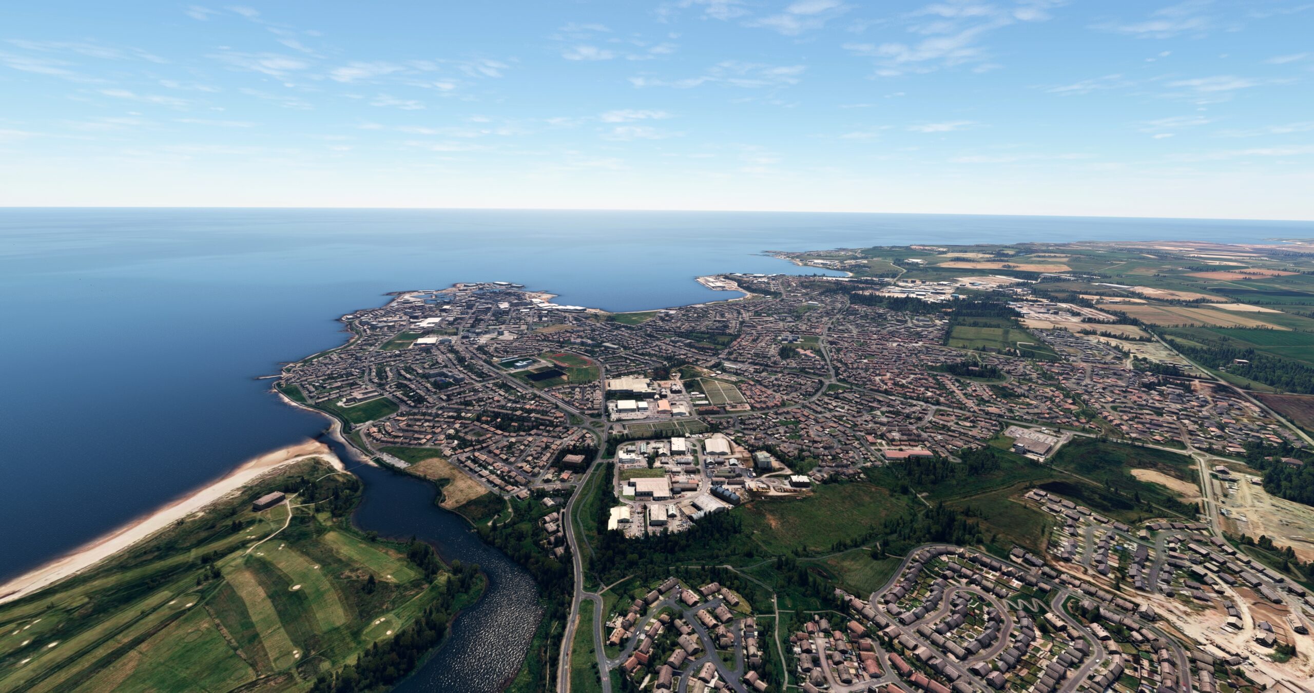
At Fraserburgh, turn to the southeast and pass over the Loch of Strathbeg Nature Reserve. The reserve protects Loch Strathbeg, an important avian breeding ground. Continue on course to the southeast to the town of Peterhead, located just inland of Keith Inch, the easternmost point of land in mainland Scotland.
Peterhead(POI11) to Newburgh(POI12)
Distance: 13.36NM Bearing: 208° 6 minutes
Turn to the south-southwest and follow the coastline, passing several small bays of the North Sea. Gain a visual on the Ythan River and the Ythan Estuary, where the river meets the North Sea. Pass over the estuary to reach Newburgh, a small coastal village.

Newburgh(POI12) to Dyce(EGPD)
Distance: 9.43NM Bearing: 224° 5 minutes
From Newburgh, adjust course slightly to the west, tracking away from the coastline. Gain a visual on Aberdeen Airport (EGPD) and land.

Leg 4
Dyce to Arbroath Airport
Leg Distance: 42.38 Approximate time at 125kts: 20 minutes.
Dyce(EGPD) to Aberdeen(POI13)
Distance: 5.08NM Bearing: 144° 2 minutes
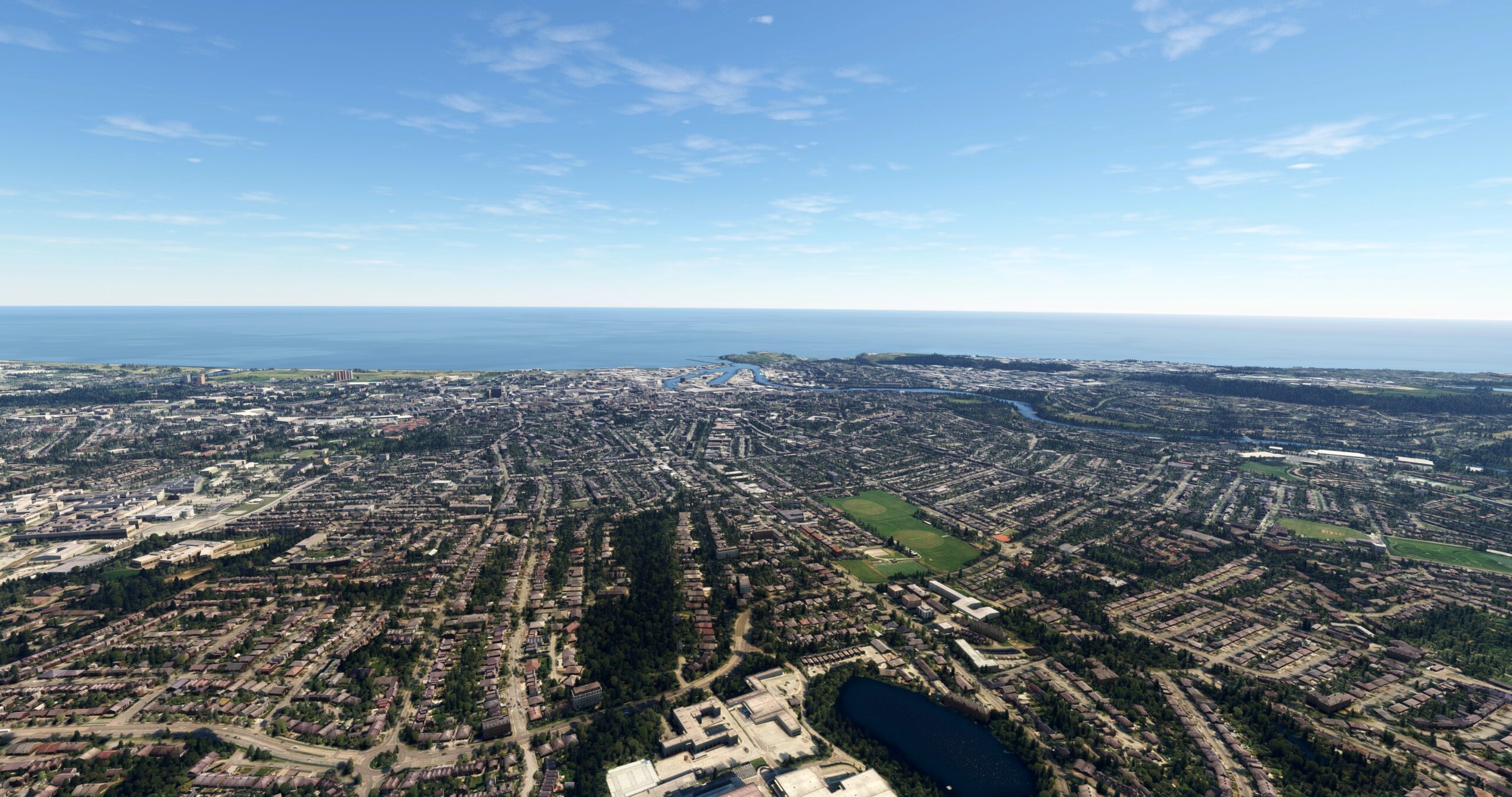
Lift off from Aberdeen airport and set a course to the southeast. Pass over the city of Aberdeen, located on the North Sea coast between the mouths of the River Don and the River Dee. Aberdeen, historically rooted in shipbuilding, fishing, and textiles, today is a high technology and research hub. The city has numerous internationally recognized landmarks, including Aberdeen Arts Centre, Marischal College, and the Aberdeen Harbour.
Aberdeen(POI13) to Stonehaven(POI14)
Distance: 10.76NM Bearing: 201° 5 minutes
Continue following the coastline from Aberdeen to the town of Stonehaven. The town was founded as a fishing village during the Iron Age.
Stonehaven(POI14) to Montrose(POI15)
Distance: 17.43NM Bearing: 207° 8 minutes
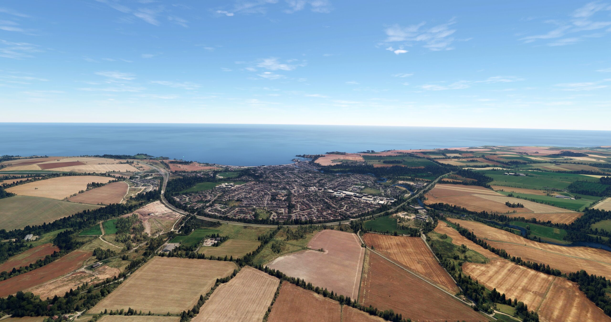
Maintain course, passing over the coastline where rolling hills meet the sea. Gain a visual on the Montrose Basin, a circular tidal basin that is part of the River South Esk Estuary. The city of Montrose is located just east of Montrose Basin on the North Sea coast.

Montrose(POI15) to Arbroath Airport(EG11)
Distance: 9.11NM Bearing: 215° 4 minutes
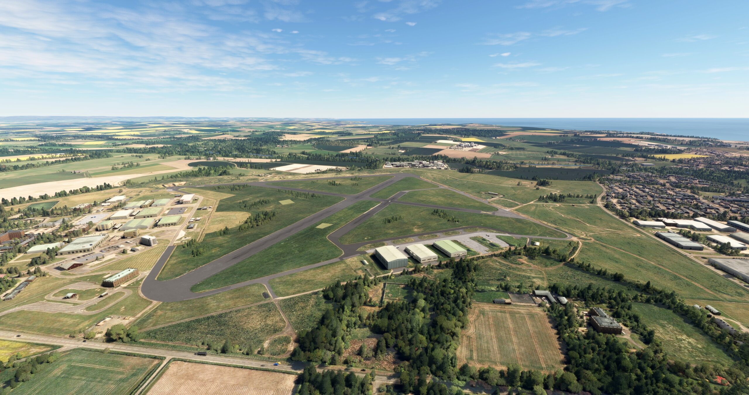
Continue on course to the south-southwest, remaining just inland of the coastline. Gain a visual on the coastal town of Arbroath. Land at Arbroath Airport (EG11), located just to the northwest of the town.
Leg 5
Arbroath Airport to Edinburgh
Leg Distance: 51.98 Approximate time at 125kts: 25 minutes.
Arbroath Airport(EG11) to Dundee(POI16)
Distance: 14.03NM Bearing: 240° 7 minutes
Lift off from Arbroath Airport and set a course to the southwest. Gain a visual on the Firth of Tay, into which flows the River Tay, Scotland’s largest river. Dundee, Scotland’s fourth most populous city, is located on the north shore of the Firth of Tay. Dundee was an important location during the Industrial Revolution for the production of jute, a natural fiber used in textiles.

Dundee(POI16) to Kirkcaldy(POI17)
Distance: 20.53NM Bearing: 195° 10 minutes
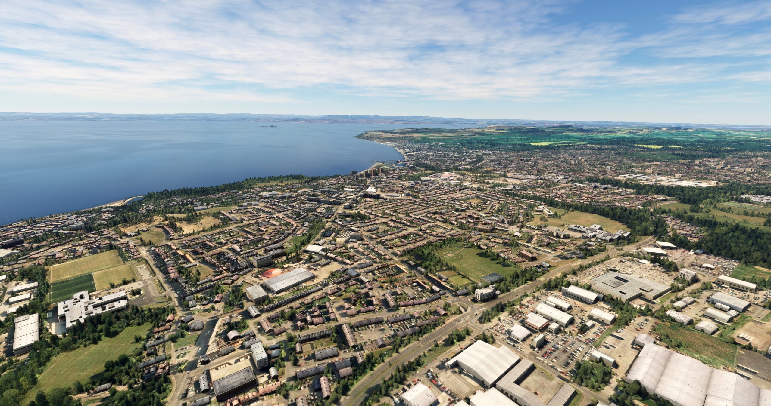
Turn to the south-southwest and pass over the Firth of Tay. Gain a visual on the Firth of Forth in the distance. Pass just to the east of the city of Glenrothes and pass over the town of Kirkcaldy, located on a small bay on the Firth of Forth.
Kirkcaldy(POI17) to Edinburgh(POI18)
Distance: 10.76NM Bearing: 188° 5 minutes
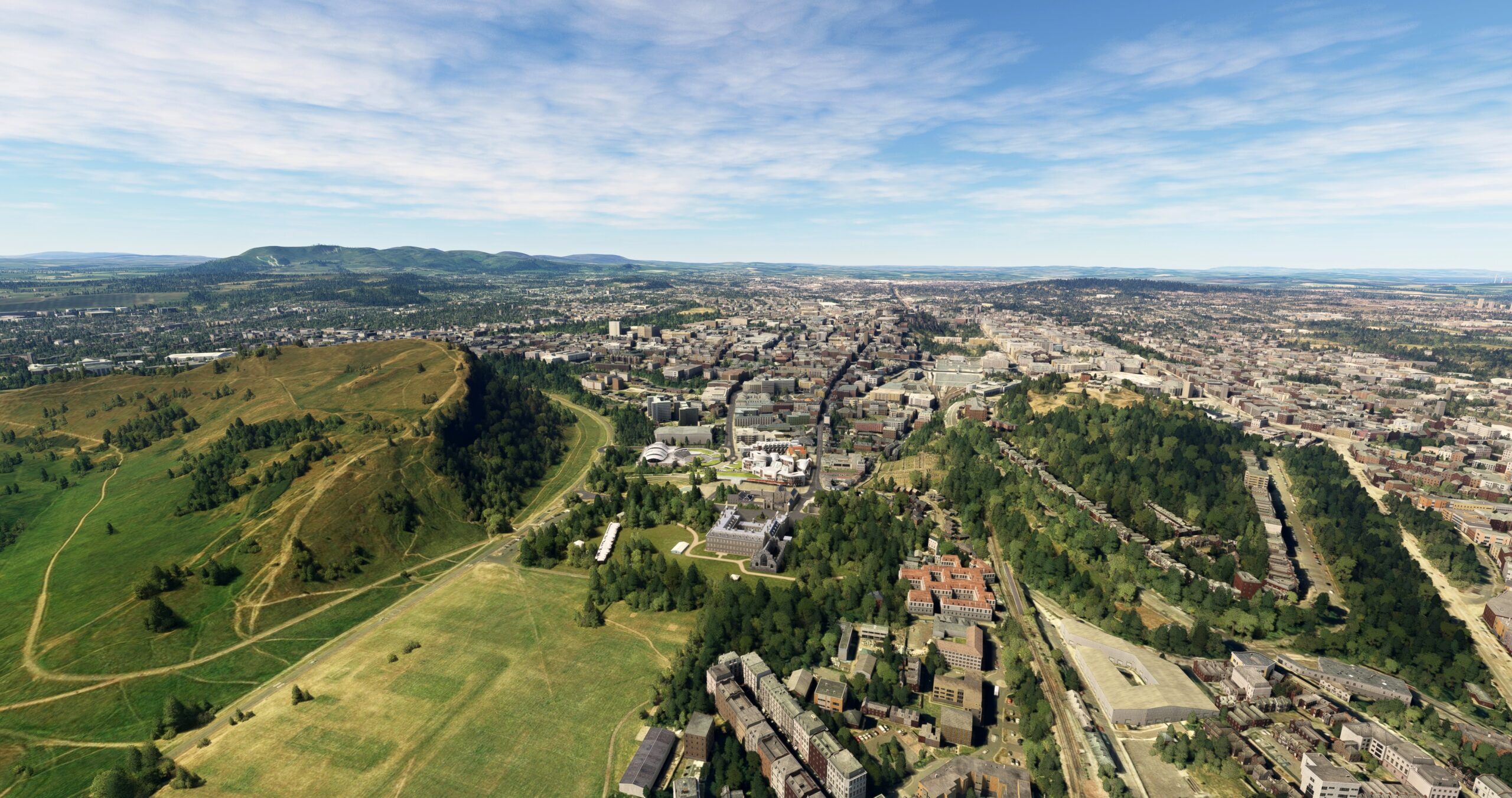
From Kirkcaldy, pass over the water of the Firth of Forth, remaining just offshore of the section of coast that runs predominantly north-south. Gain a visual on the long, rocky island Inchkeith, located in the middle of the Firth of Forth. Pass just to the west of Inchkeith and gain a visual on Edinburgh, the capital of Scotland. Pass over the Port of Leith, and then continue over the city center of Edinburgh. Edinburgh is the second largest city in Scotland by population and is home to several historically significant works of architecture. Apart from being the center of Scotland’s government, Edinburgh is globally renowned for contributions to the sciences and the arts.
Edinburgh(POI18) to Edinburgh(EGPH)
Distance: 6.66NM Bearing: 269° 3 minutes
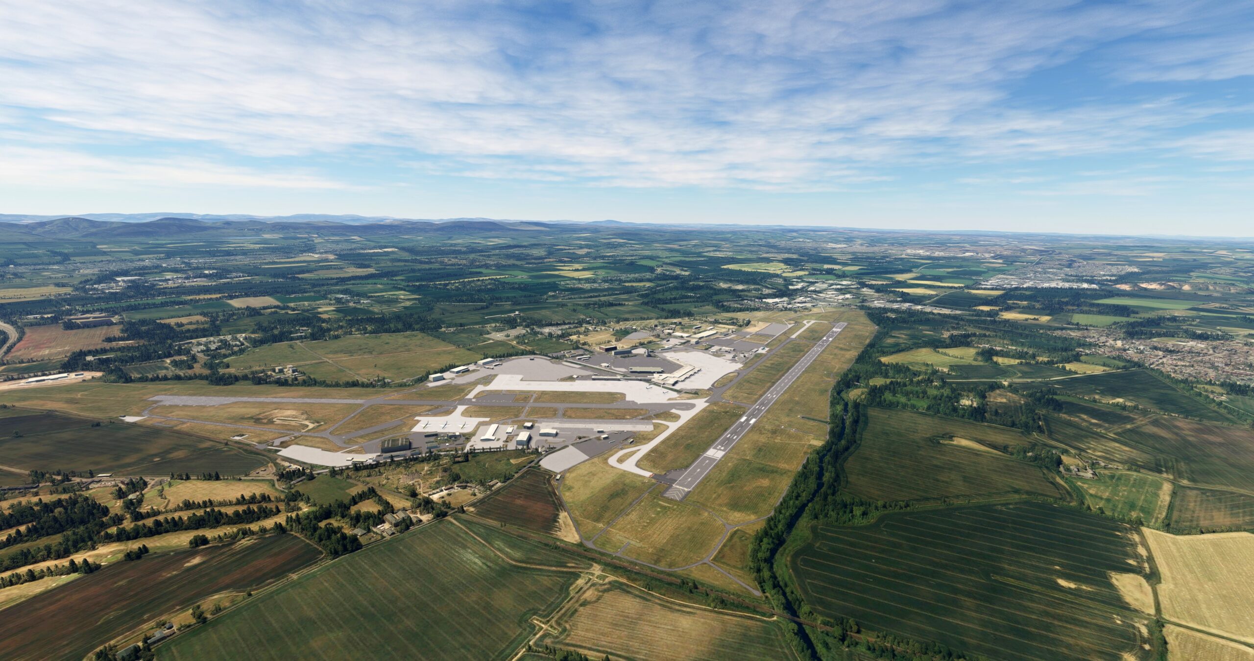
Land at Edinburgh Airport (EGPH), located just to the west of the city.
Leg 6
Edinburgh to Glasgow
Leg Distance: 57.86 Approximate time at 125kts: 28 minutes.
Edinburgh(EGPH) to Forth Bridge(POI19)
Distance: 3.17NM Bearing: 351° 2 minutes
Take-off from Edinburgh Airport and set a course to the north-northwest. Pass over the Forth Bridge, which spans the Firth of Forth. Completed in 1890, the bridge is one of Scotland’s most important structures and is recognized as a World Heritage Site by the United Nations.
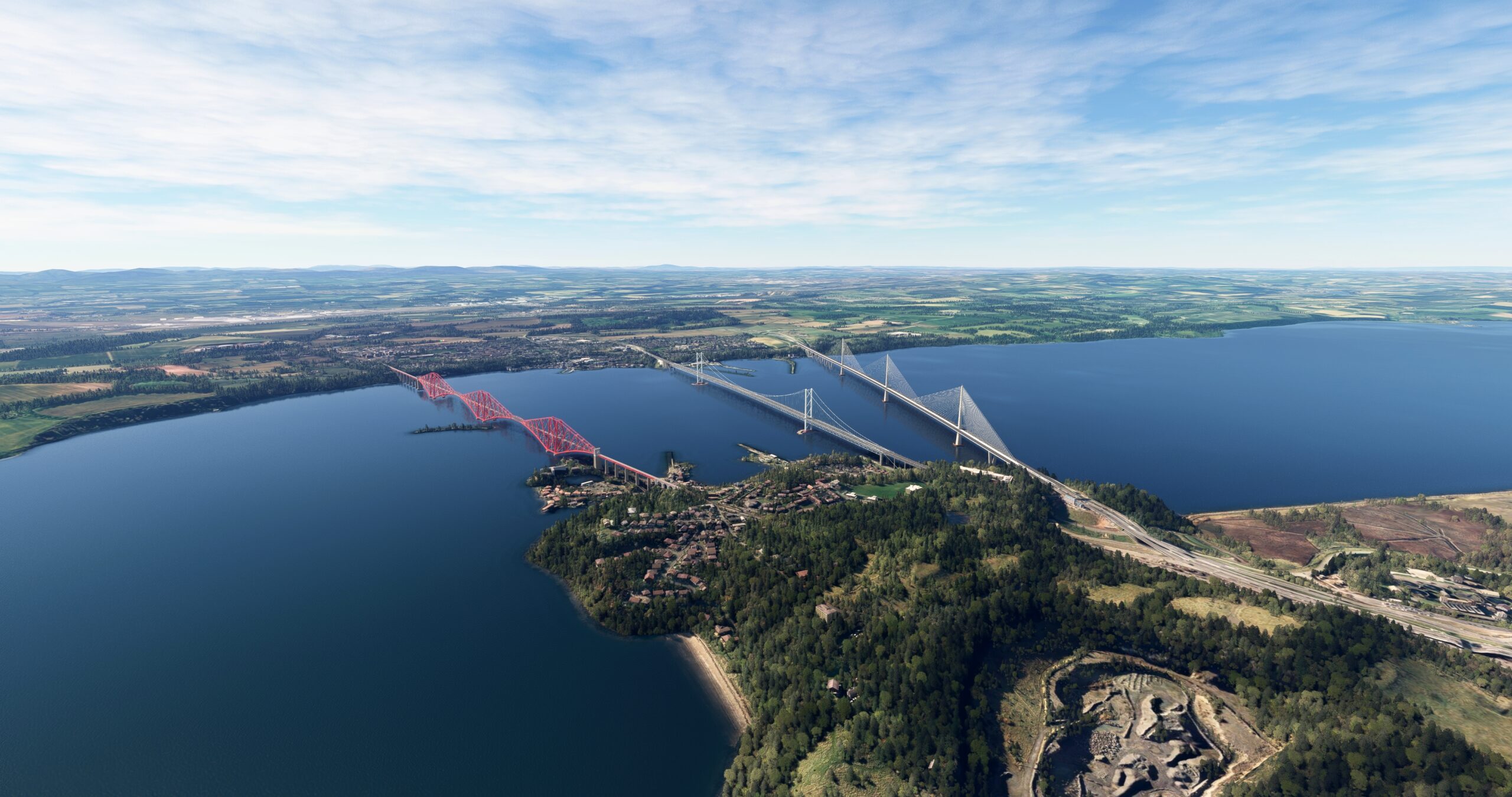
Forth Bridge(POI19) to Falkirk(POI20)
Distance: 12.34NM Bearing: 276° 6 minutes
At the Forth Bridge, turn to the west and follow the southern shoreline of the Firth of Forth to the town of Falkirk, located where the River Carron meets the firth.

Falkirk(POI20) to Stirling Castle(POI21)
Distance: 9.01NM Bearing: 315° 4 minutes
At Falkirk, turn to the northwest and pass over the River Carron. Gain a visual on the city of Stirling, located on the southern bank of the River Forth. Stirling was once the capital of Scotland and is known as the “Gateway to the Highlands.” Stirling Castle, located atop Castle Hill in Stirling, is one of the world’s largest and most historically significant castles. Construction on Stirling Castle began in the early twelfth century with much of it built in the fifteenth and sixteenth centuries. The castle was a key strategic stronghold for many centuries in Scotland.

Stirling Castle(POI21) to Buchlyvie(POI22)
Distance: 11.6NM Bearing: 269° 6 minutes
From Stirling Castle, turn to the west and follow highway A811. Pass just to the south of the village of Kippen and then fly over the village of Buchlyvie, located at the intersection of A811 and B835 (Station Road).
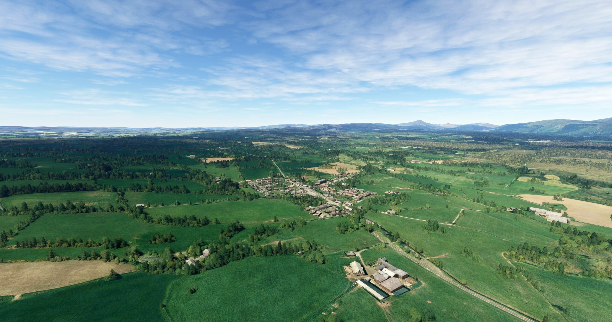
Buchlyvie(POI22) to Glasgow(POI23)
Distance: 15.21NM Bearing: 175° 7 minutes
Turn to the south at Buchlyvie and pass over the Campsie Fells, a range of small hills. On the south side of the Campsie Fells, gain a visual on the Mugdock Reservoir and the Craigmaddle Reservoir, which are connected. Pass to the east of the two reservoirs and then pass to the east of Bardowie Loch, a small lake located just to the north of the confluence of Allander Water and the River Kelvin. Pass to the east of the confluence and then fly over Glasgow. Glasgow, located on the River Clyde, is the most populous city in Scotland. Glasgow is a major global center of manufacturing and is renowned for its shipbuilding industry. Ships built in Glasgow include the RMS Queen Elizabeth, the RMS Queen Mary, Cutty Sark, and HMS Hood. Glasgow is also a center of finance, healthcare, retail trade, and tourism.
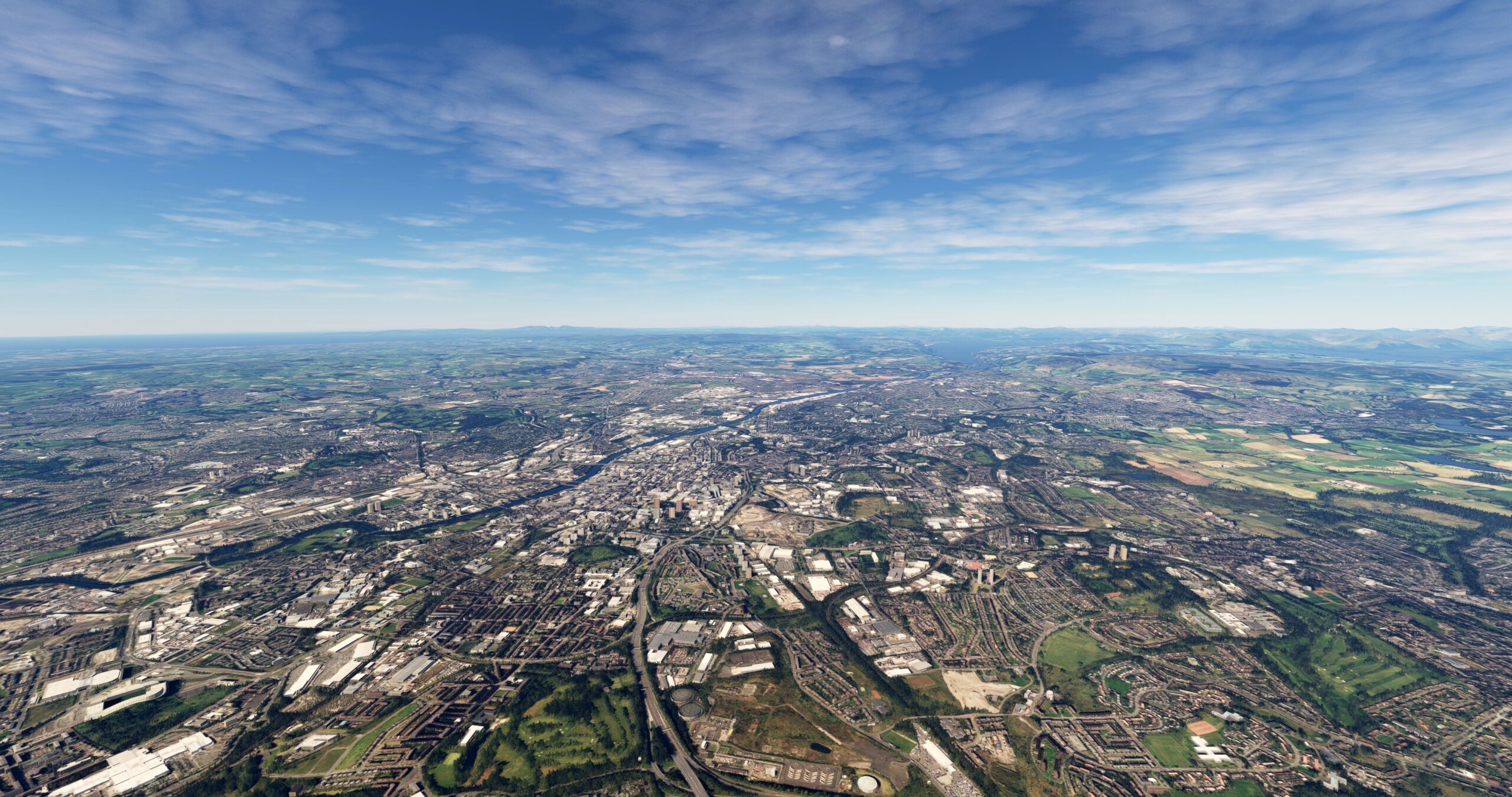
Glasgow(POI23) to Glasgow(EGPF)
Distance: 6.53NM Bearing: 275° 3 minutes
Turn to the west and land at Glasgow Airport (EGPF), located south of the River Clyde between the rivers Black Cart Water and White Cart Water.
